The best running trails in Benthullener Moor
4.2
(346)
8,517
runners
380
runs
Jogging in Benthullener Moor offers a unique experience within a rewilded raised bog in Lower Saxony, southwest of Oldenburg. This nature reserve features a network of accessible paths winding through diverse landscapes, including re-naturalized peat bogs, wet heath areas, and overgrown woodland. The terrain is generally flat, with minor elevation changes, providing a tranquil natural environment for runners. The area's distinct ecosystems offer varied scenery throughout a run.
Best jogging routes in Benthullener Moor
- The most popular jogging route is…
Last updated: July 1, 2026
3.0
(1)
7
runners
9.84km
01:01
10m
10m
Moderate run. Good fitness required. Mostly paved surfaces. Suitable for all skill levels.
8
runners
6.48km
00:40
10m
10m
Moderate run. Good fitness required. Mostly paved surfaces. Suitable for all skill levels.

Sign up for free
5
runners
11.0km
01:09
20m
20m
Moderate run. Good fitness required. Mostly paved surfaces. Suitable for all skill levels.
5.0
(1)
4
runners
6.07km
00:38
10m
10m
Moderate run. Good fitness required. Mostly paved surfaces. Suitable for all skill levels.
5
runners
5.44km
00:34
10m
10m
Moderate run. Good fitness required. Mostly paved surfaces. Suitable for all skill levels.
Get access to more routes and recommendations from other explorers.
Sign up for free
Already have an account?
Our route recommendations are based on thousands of hikes, rides, and runs completed by other people on komoot.
Start today with a free account
Your next adventure awaits.
Login or Signup
Tips from the Community

Jeddeloher - True Craftsmanship Welcome to the Jeddeloher Zweibrücken Brewery – where beer is still true craftsmanship! 🍻 We're so glad you're here! We're all about honest, handcrafted beer – brewed with love, patience, and dedication right here in Jeddeloh II. Because good beer needs not only the best ingredients, but above all: time, passion, and true brewing expertise. In our small, exquisite brewery, your favorite beer isn't created at the push of a button, but with heart and soul – and you can taste it in every sip! Whether it's our classic Pilsner or the malty dark beer – every beer is a true original, brewed with care and pride. 🌿 Sunday is Beer Garden Day! Every Sunday from 11 a.m., we open our cozy beer garden for you – with freshly tapped beer, light snacks, and the perfect dose of Jeddeloh hospitality. A morning pint has never tasted so good!
1
1

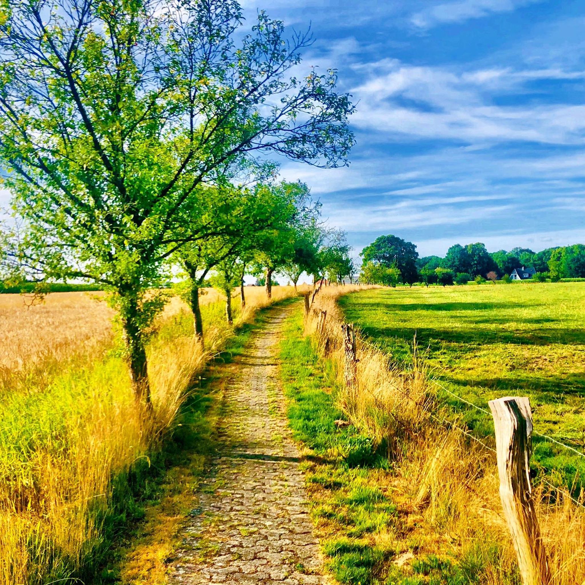
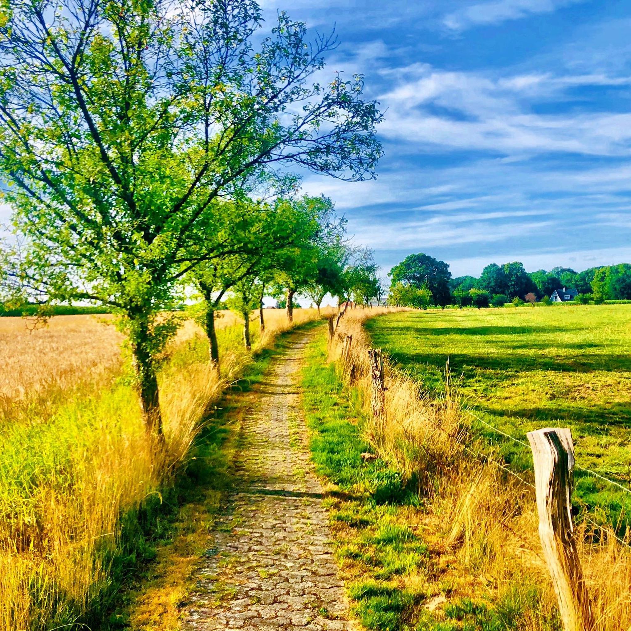
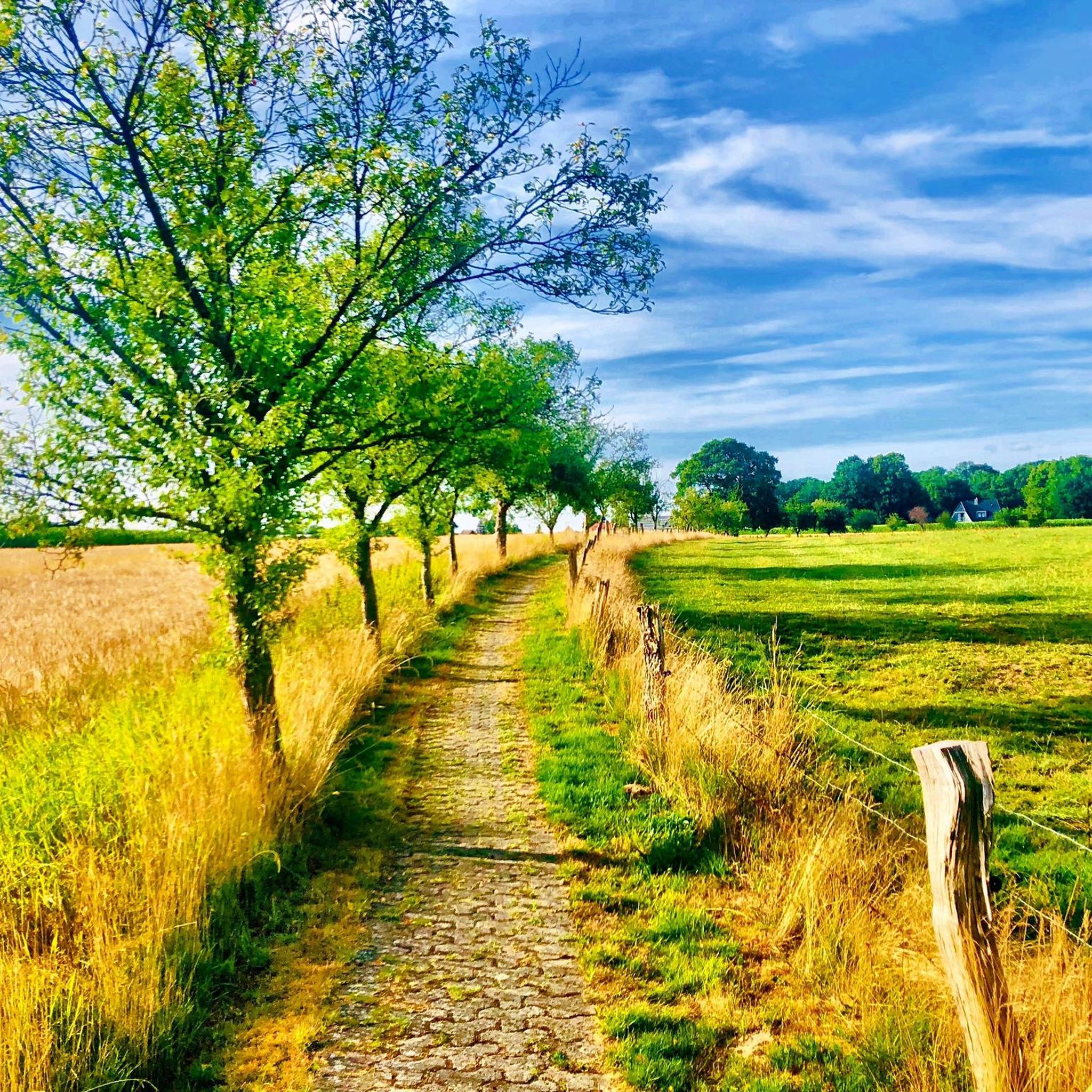
Beautiful slightly bumpy path from the coastal canal to the Wildenloh
0
0

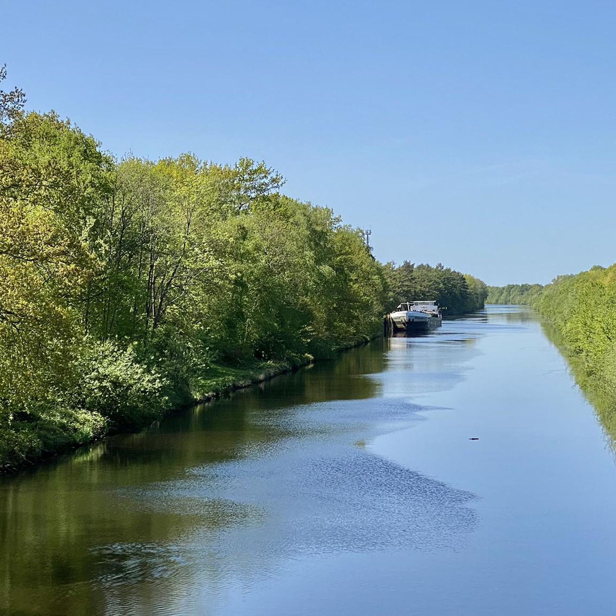
The Küstenkanal (Coastal Canal) connects the Weser/Hunte and the Ems/Dortmund-Ems Canal. Cycling along the canal is wonderfully relaxing, on both the right and left banks.
5
0

beautiful view over the coastal canal.
1
1

A great resting place in a very nice, quiet corner. I was there in the autumn, very cozy.
2
2

Beautiful cycle lane along the canal and row of trees
3
2
Course of the Küstenkanal The Küstenkanal branches off from the Hunte River in Oldenburg, heading west. After approximately 13 km, it crosses the watershed between the Ems and Weser catchment areas at "Mosleshöhe" ⊙ in the village of Friedrichsfehn. From here, the canal runs through the southern Ammerland region, cutting through the Cloppenburg district north of Friesoythe ⊙ and the northern part of the Emsland district. There, it initially runs south of the Esterweger Dose nature reserve ⊙ before joining the Dortmund-Ems Canal (Ems) near Dörpen (south of Papenburg). Almost its entire length, the canal is accompanied by the Küstenkanalstraße (Coastal Canal Road), Federal Highway 401.
8
4

The coastal canal bridge near Jeddeloh II, which is separated from car traffic, was built in 2014/2015 as a pedestrian and cycle path bridge. The coastal canal is a federal waterway around 70 kilometers long that connects the Hunte near Oldenburg with the Ems near Dörpen, which has been expanded into the Dortmund-Ems Canal.
2
0
Frequently Asked Questions
How many running routes are available in Benthullener Moor?
Benthullener Moor offers a wide selection of running routes, with over 380 trails available for exploration. These include options for various fitness levels, from easy jogs to more challenging runs.
What kind of terrain can I expect on the jogging trails in Benthullener Moor?
The terrain in Benthullener Moor is quite diverse, offering a unique experience. You'll find paths winding through re-naturalized peat bogs, wet heath areas, and overgrown woodland. The landscape, a rewilded former raised bog, provides varied scenery throughout your run, with generally flat paths and minor elevation changes.
Are there any easy running routes suitable for beginners in Benthullener Moor?
Yes, Benthullener Moor has a good selection of routes suitable for beginners. There are over 50 easy running trails available, perfect for those new to jogging or looking for a more relaxed pace. These paths are generally well-maintained and accessible.
What do other runners say about the trails in Benthullener Moor?
The running trails in Benthullener Moor are highly regarded by the komoot community, boasting an average rating of 4.2 stars from over 300 reviews. Runners often praise the tranquil natural environment, the varied scenery of the rewilded moor, and the well-maintained paths that make for an enjoyable experience.
Are there any circular running routes in Benthullener Moor?
Yes, many of the running routes in Benthullener Moor are circular, allowing you to start and finish at the same point. For example, the Jeddeloh II coastal canal bridge loop from Harberner Heide is a popular moderate 9.8 km (6.1 miles) option that takes you through varied moorland scenery.
Can I bring my dog on the running trails in Benthullener Moor?
Benthullener Moor is a nature reserve, and while many trails are generally dog-friendly, it's always recommended to keep your dog on a leash to protect the local wildlife and sensitive ecosystems. Always check local signage for specific regulations regarding pets in certain areas.
Are there any family-friendly jogging routes in Benthullener Moor?
Yes, the accessible and generally flat paths in Benthullener Moor make it suitable for family outings. Many of the easy and moderate routes, such as the Great rest area loop from Harbern I (6.5 km / 4.0 miles), offer a pleasant experience for families looking to jog together in a natural setting.
What are some notable features or sights along the running paths?
While Benthullener Moor doesn't feature traditional landmarks, the landscape itself is the main attraction. Runners can appreciate the unique character of a recovering raised bog, with its distinctive vegetation, re-naturalized peat bogs, wet heath areas, and remnants of hand-dug peat cuts. The Wooden bridge loop from Harberner Heide, for instance, leads through woodland and peat bogs, offering a scenic experience.
Is there parking available near the running trails in Benthullener Moor?
Yes, there are typically designated parking areas at common access points to Benthullener Moor, especially near trailheads. It's advisable to check specific route details on komoot for information on parking facilities closest to your chosen starting point.
How can I access Benthullener Moor using public transport for a run?
While Benthullener Moor is primarily accessed by car, some public transport options might get you close to the reserve's edges. For detailed information on bus stops or train stations that connect to the area, it's best to consult local public transport schedules and maps for the region southwest of Oldenburg.
What is the best time of year to go running in Benthullener Moor?
Benthullener Moor offers a pleasant running experience throughout much of the year. Spring and autumn provide mild temperatures and beautiful natural colors. Summer is also suitable, though it's best to run during cooler parts of the day. Even in winter, the trails can be enjoyed, but be prepared for potentially damp or frosty conditions.
Are there any cafes or refreshment stops near the running routes?
Benthullener Moor is a nature reserve focused on its natural environment, so direct cafes or refreshment stops immediately along the trails are limited. It's recommended to bring your own water and snacks. You may find options in nearby villages or towns surrounding the moor, such as those southwest of Oldenburg.
Most popular routes in Benthullener Moor

Get inspired with the komoot mobile app


Explore more
Browse the best Running Trails & Routes in other regions.
