The best walks and hikes in Benthullener Moor
4.6
(1424)
7,205
hikers
450
hikes
Hiking in Benthullener Moor offers routes through a 270-hectare nature reserve in Lower Saxony, Germany. The area features re-naturalized moorland, characterized by a mosaic of habitats including overgrown bushes, woodlands, re-naturalizing peat cuttings, and wet heath areas. The terrain is generally flat, providing accessible paths for various hiking abilities. These natural features contribute to diverse landscapes for hikers to explore.
Best hiking trails in Benthullener Moor
- The most popular hiking route is Oberlether Fuhrenkamp Forest – Highland Cattle Picnic Spot…
Last updated: May 15, 2026
4.6
(5)
16
hikers
5.63km
01:25
10m
10m
Easy hike. Great for any fitness level. Easily-accessible paths. Suitable for all skill levels.
5.0
(1)
2
hikers
7.42km
01:52
10m
10m
Easy hike. Great for any fitness level. Easily-accessible paths. Suitable for all skill levels.

Sign up for free
3
hikers
11.0km
02:45
10m
10m
Moderate hike. Good fitness required. Easily-accessible paths. Suitable for all skill levels.
5.0
(7)
18
hikers
12.0km
03:02
20m
20m
Moderate hike. Good fitness required. Easily-accessible paths. Suitable for all skill levels.
5.0
(3)
6
hikers
13.5km
03:24
30m
30m
Moderate hike. Good fitness required. Easily-accessible paths. Suitable for all skill levels.
Get access to more routes and recommendations from other explorers.
Sign up for free
Already have an account?
Our route recommendations are based on thousands of hikes, rides, and runs completed by other people on komoot.
Start today with a free account
Your next adventure awaits.
Login or Signup
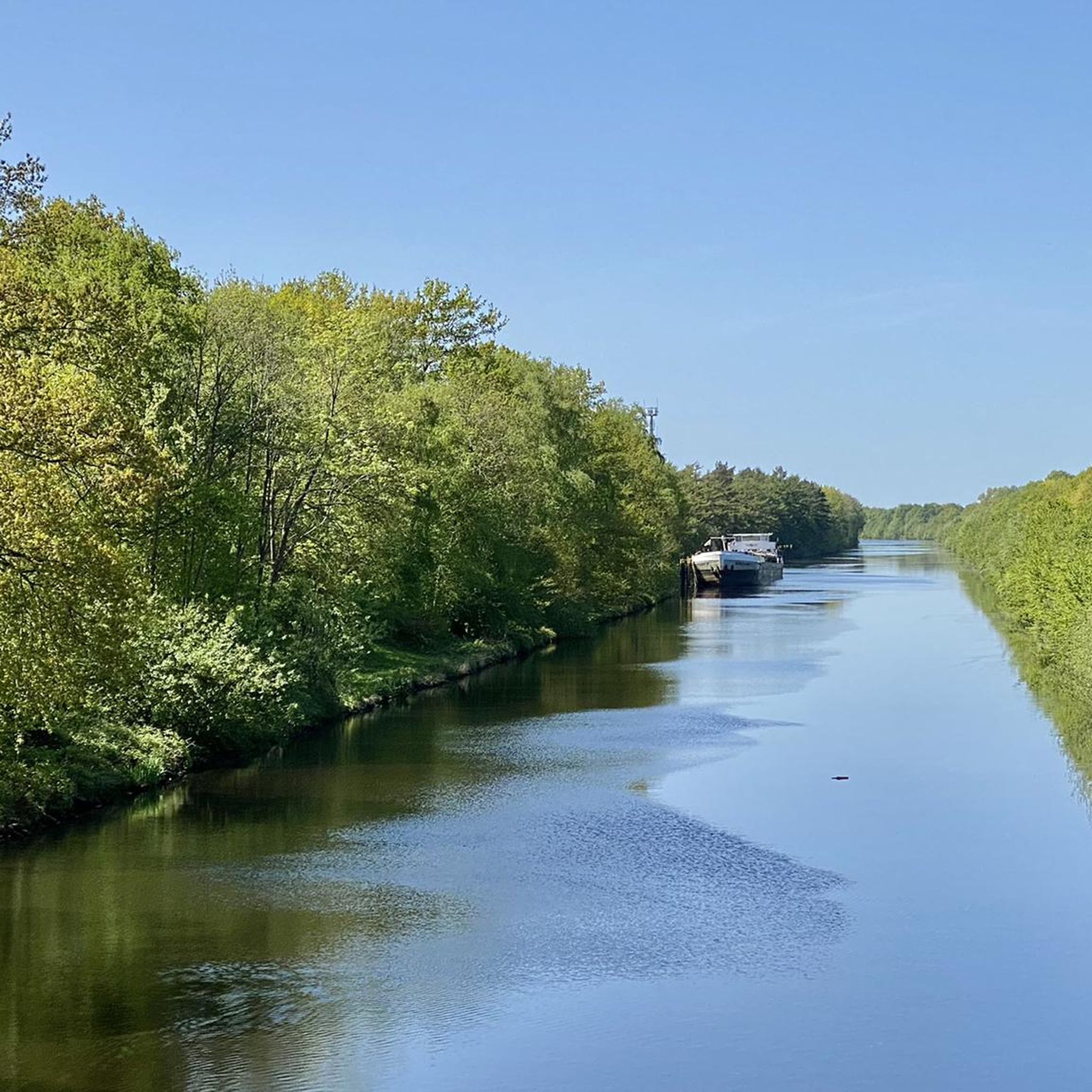
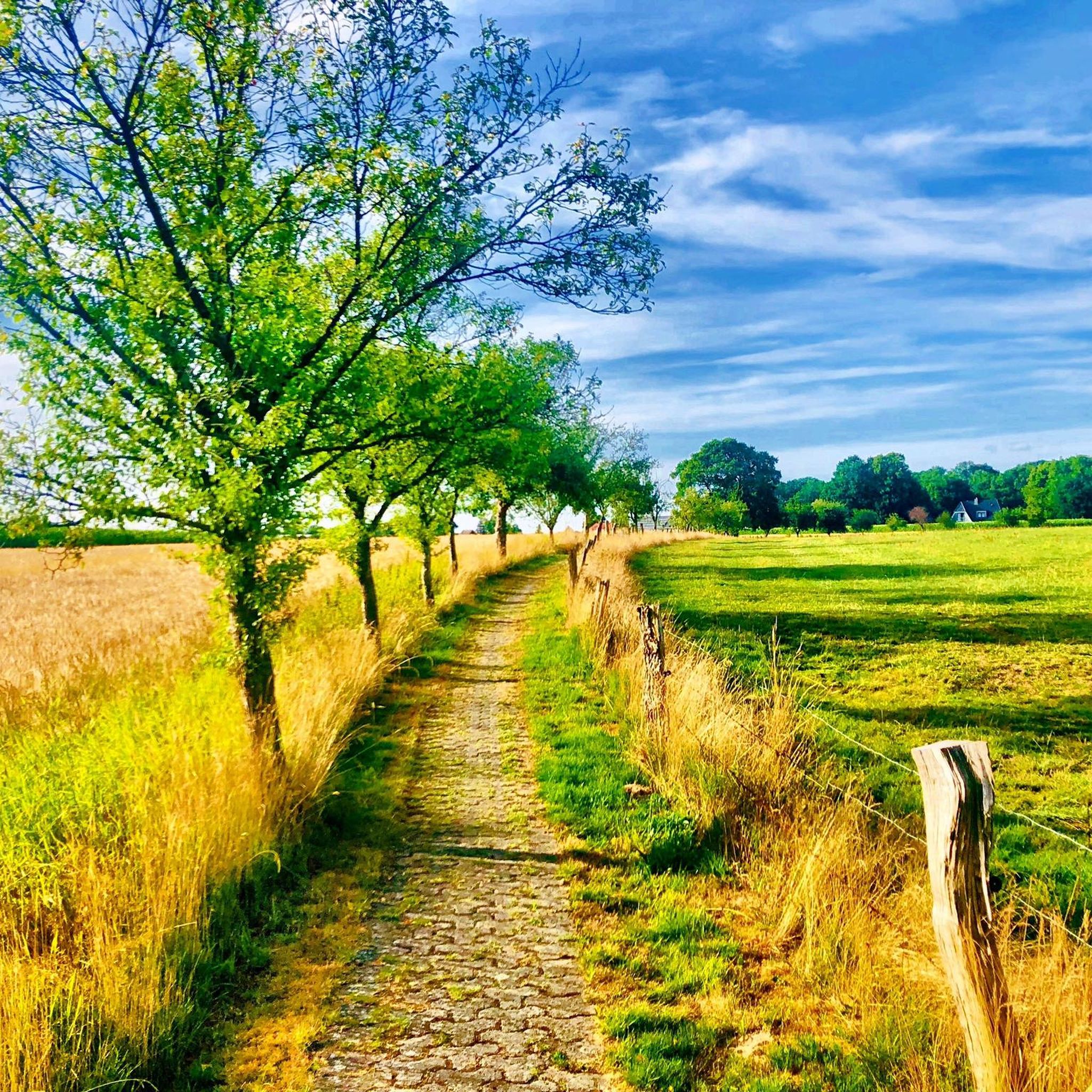
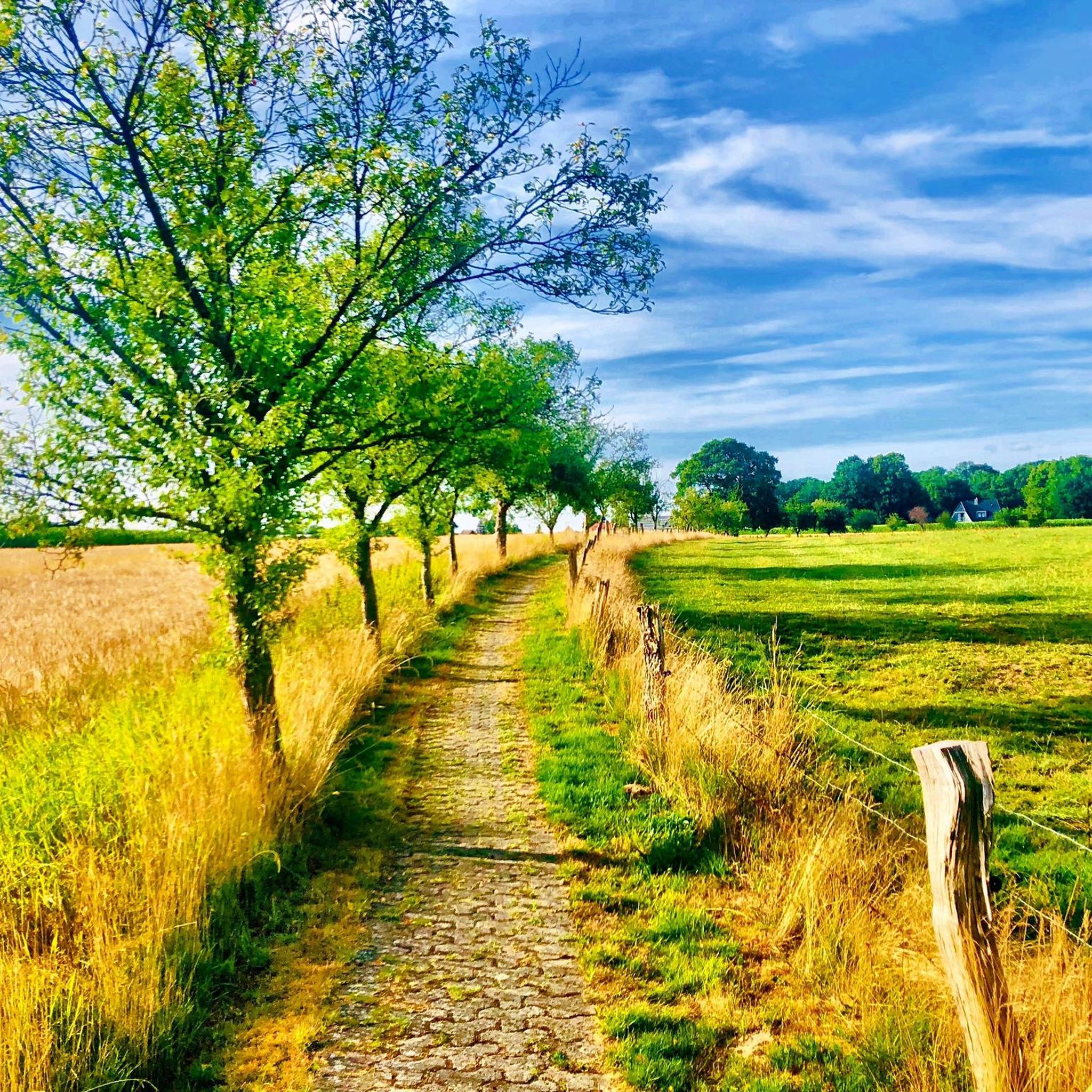
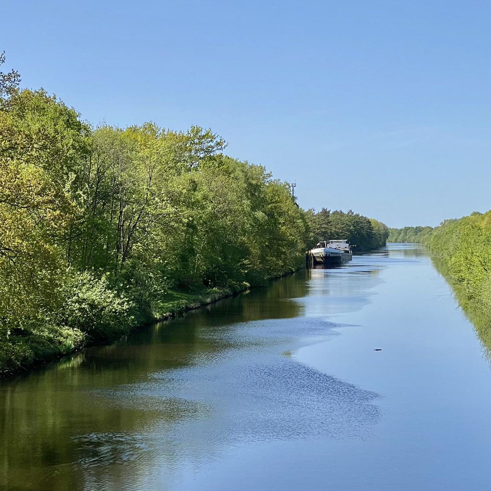
Tips from the Community

COFFEE HOUSE AND GARDEN CAFÉ We love cake! It's actually always been like that - and fortunately, a wonderful baking gene has become ingrained in our family DNA. Every week we bake cakes and tarts from carrot cake (gluten-free) to Frankfurter Kranz and raspberry meringue to banana bread (vegan). For our home-baked delicacies, we only use high-quality products such as organic milk or our Halenhorst free-range eggs. In our café you can also enjoy fine coffee specialties from our portafilter machine with espresso beans from Nölker and Nölker from Oldenburg, a cup of Tempelmann's organic coffee or a nice selection of tea, which we also get from Nölker and Nölker. Of course, we also offer plant-based alternatives to cow's milk. In winter you can make yourself comfortable in our hall and the pub during opening hours and in summer also in our picturesque garden.
2
0


This shelter is one of the premium class and has been lovingly furnished with lots of decoration.
2
0

Beautifully designed rest area
6
1

One of several rest areas in and around Litteler Fuhrenkamp.
0
0
A nice rest area on the outskirts of Littel.
0
0
A nice rest area on the outskirts of Littel.
0
0

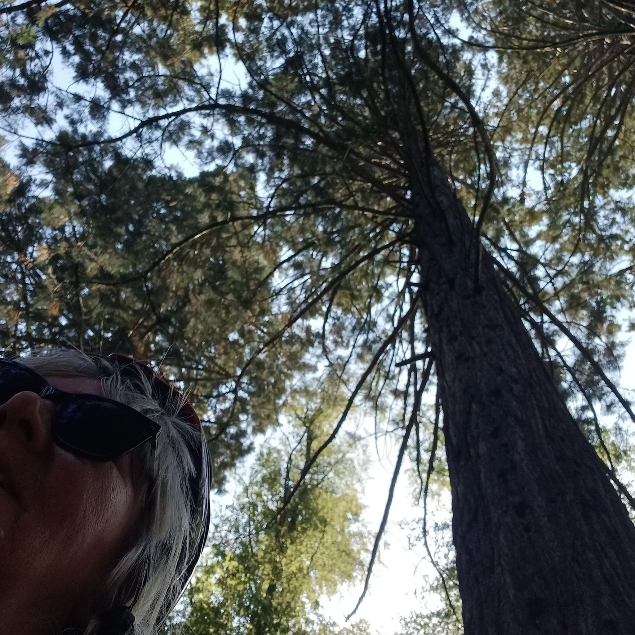
The tree at this fork really stands out from all the others... really beautiful :)
0
0
Frequently Asked Questions
How many hiking trails are available in Benthullener Moor?
Benthullener Moor offers a wide selection of hiking routes, with over 450 trails recorded on komoot. These range from easy strolls to more moderate hikes, providing options for various fitness levels.
What kind of landscape can I expect when hiking in Benthullener Moor?
You will experience a unique re-naturalized moorland landscape, characterized by a mosaic of habitats. This includes areas overgrown with bushes and woodlands, interspersed with re-naturalizing peat cuttings and wet heath areas. The terrain is generally flat, offering a peaceful environment to connect with nature.
Are there easy hiking options suitable for beginners or casual walkers?
Yes, Benthullener Moor is very accessible for easy walks. Over 340 of the available routes are classified as easy. A popular choice is the Hiking loop from Achternholt, an easy 3.5-mile (5.6 km) path that takes about 1 hour 25 minutes to complete.
Can I find longer or more challenging hikes in the area?
While the terrain is generally flat, there are moderate options for those seeking a longer experience. For example, the Hiking loop from Harberner Heide covers 6.8 miles (10.9 km) and typically takes around 2 hours 45 minutes. There are also a few more challenging routes available for experienced hikers.
Are there any circular hiking routes in Benthullener Moor?
Many of the trails in Benthullener Moor are designed as circular routes, allowing you to start and end at the same point. The Benthullener Moor loop from Harberner Heide is a popular 4.6-mile (7.4 km) example, leading through the re-naturalized moorland.
What natural features or wildlife might I encounter in Benthullener Moor?
As a nature reserve, Benthullener Moor is home to flora and fauna typical of bog ecosystems. You can expect to see specialized plants adapted to acidic, waterlogged conditions, and potentially various insects and birds. The re-naturalized peat cuttings and wet heath areas provide diverse habitats for nature observation.
What do other hikers enjoy the most about hiking in Benthullener Moor?
The area is highly rated by the komoot community, with an average score of 4.6 stars from over 1300 reviews. Hikers often praise the unique moorland landscape, the tranquility of the nature reserve, and the well-maintained paths that offer a peaceful escape into nature.
Is Benthullener Moor suitable for family hikes?
Yes, the generally flat terrain and numerous easy routes make Benthullener Moor suitable for families. Many paths are well-maintained and offer a pleasant experience for all ages. Consider routes like the Hiking loop from Achternholt for a family-friendly outing.
Are dogs allowed on the hiking trails in Benthullener Moor?
As a nature reserve, dogs are generally welcome on the designated hiking trails in Benthullener Moor. However, it is crucial to keep them on a leash to protect the sensitive ecosystem and wildlife. Always respect local signage and regulations regarding pets.
Are there any places to eat or drink near the hiking trails?
While direct access into the core of the reserve is restricted, there are options in the surrounding areas. The Café Dahms – Korrbäke Stream loop from Littel route, for instance, starts near Café Dahms, offering a convenient stop for refreshments before or after your hike.
What is the best time of year to visit Benthullener Moor for hiking?
Benthullener Moor can be enjoyed year-round, but spring and autumn offer particularly pleasant conditions with mild temperatures and vibrant colors. Summer provides longer daylight hours, while winter can transform the moor into a serene, frosty landscape. Always check local weather conditions before your visit.
Where can I park when visiting Benthullener Moor?
Parking facilities are typically available at common starting points for trails around the nature reserve. Specific parking information can often be found on individual route descriptions on komoot, or by checking local signage upon arrival at trailheads.
Most popular routes in Benthullener Moor

Get inspired with the komoot mobile app


Explore more
Browse the best Hikes in other regions.
