The best road cycling routes in Benthullener Moor
4.4
(179)
1,697
riders
66
rides
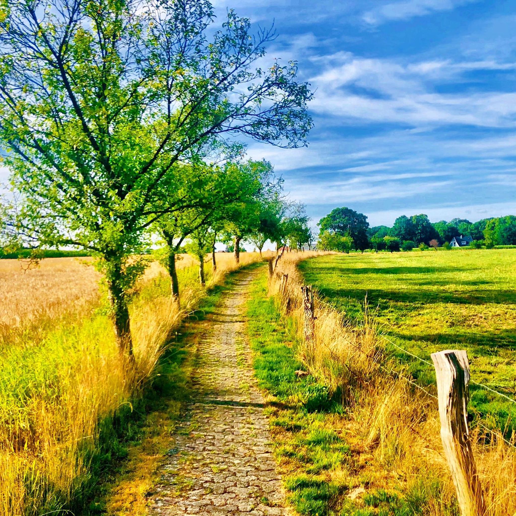
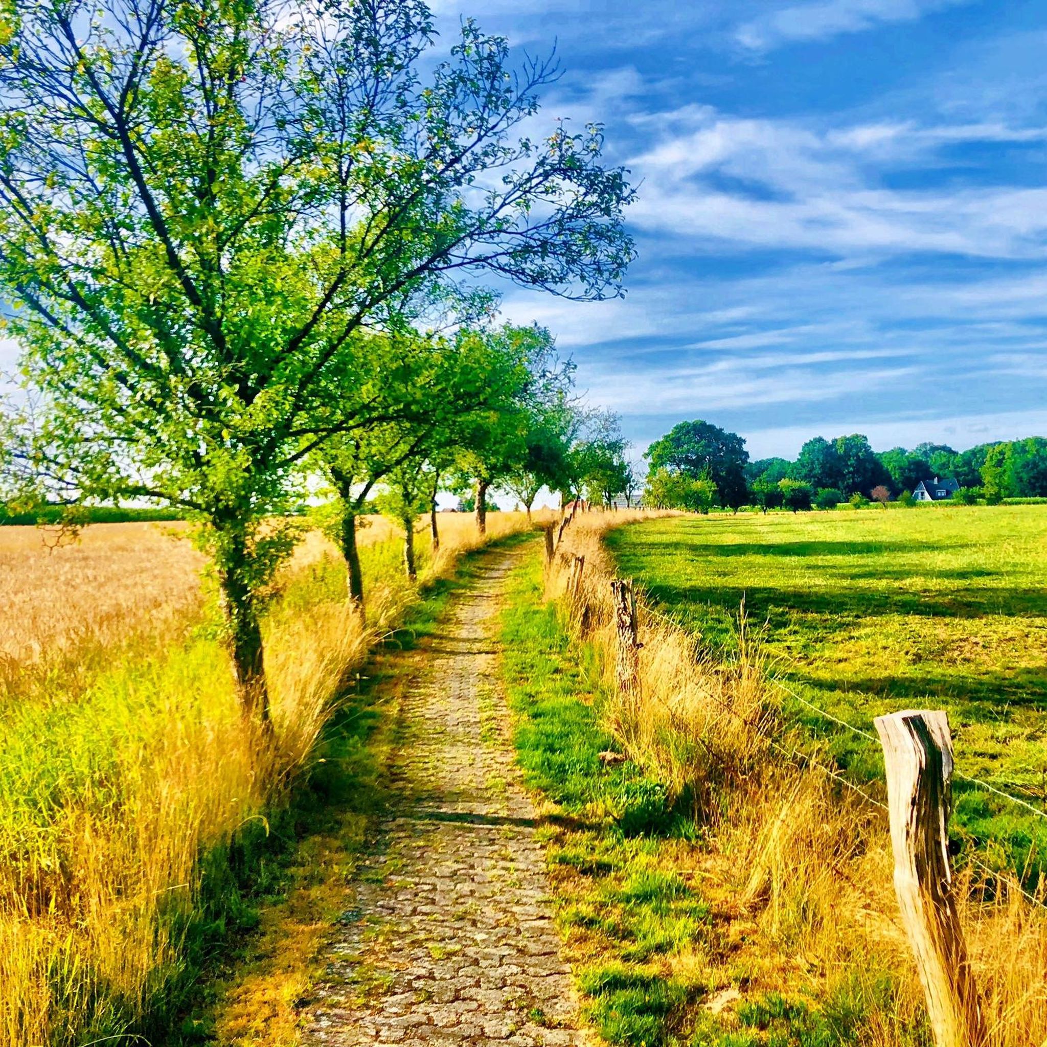
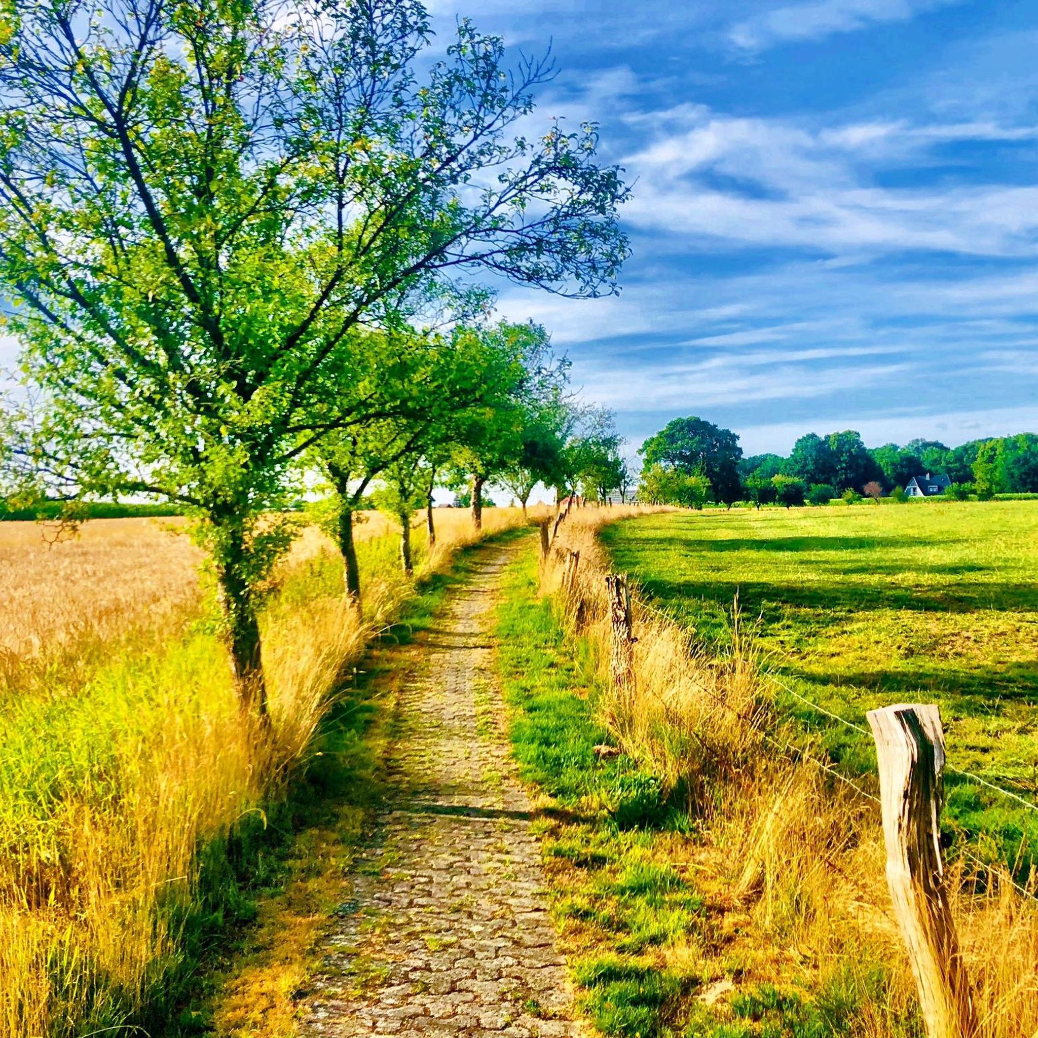
Road cycling routes in Benthullener Moor traverse a landscape characterized by former raised bog, now largely overgrown with bushes and woodland. Elevations within the moor are low, typically ranging from 10 to 14 meters above sea level. While the nature reserve itself has restricted access, the surrounding area offers numerous paved roads suitable for road cycling. The terrain is generally flat, providing routes that follow canals and rural roads.
Best road cycling routes in Benthullener Moor
- The most popular road…
Last updated: July 12, 2026
4.3
(4)
44
riders
26.2km
01:07
40m
40m
Easy road ride. Great for any fitness level. Mostly well-paved surfaces and easy to ride.
5.0
(2)
9
riders
Moderate road ride. Good fitness required. Mostly well-paved surfaces and easy to ride.

Sign up for free
5.0
(2)
11
riders
Easy road ride. Great for any fitness level. Mostly well-paved surfaces and easy to ride.
4.0
(1)
15
riders
37.8km
01:31
60m
60m
Moderate road ride. Great for any fitness level. Some segments of this route may be unpaved and difficult to ride.
6
riders
28.2km
01:05
30m
40m
Easy road ride. Great for any fitness level. Mostly well-paved surfaces and easy to ride.
Get access to more routes and recommendations from other explorers.
Sign up for free
Already have an account?
Our route recommendations are based on thousands of hikes, rides, and runs completed by other people on komoot.
Start today with a free account
Your next adventure awaits.
Login or Signup
Tips from the Community

Ss. Cosmas and Damian (Barßel): The actual Catholic parish church in the center of Barßel, built between 1852 and 1854. Its historic bell tower was blown up by German troops in April 1945 and later rebuilt.
2
0

The buffer stop of the former narrow-gauge railway is a monument and a popular attraction along the narrow-gauge railway hiking trail near Edewechterdamm.
1
0

A very lovingly decorated shop. They sell jam, eggs, cakes, cookies, and more. The spelt cookies were a great hiking snack 😋
0
0

With a scale, they weighed things🫣😁😎 The peat railways, also known as field railways, used special wagons designed for transporting peat. These wagons were often long and had a large wheelbase to ensure a high load-bearing capacity. The car bodies could be removable and were lifted from the chassis using chain lugs and then transferred, for example, with a crane. Double-flanged wheels were common because the tracks in the bog often couldn't be laid securely, and the wheels were designed to prevent derailment.
6
0
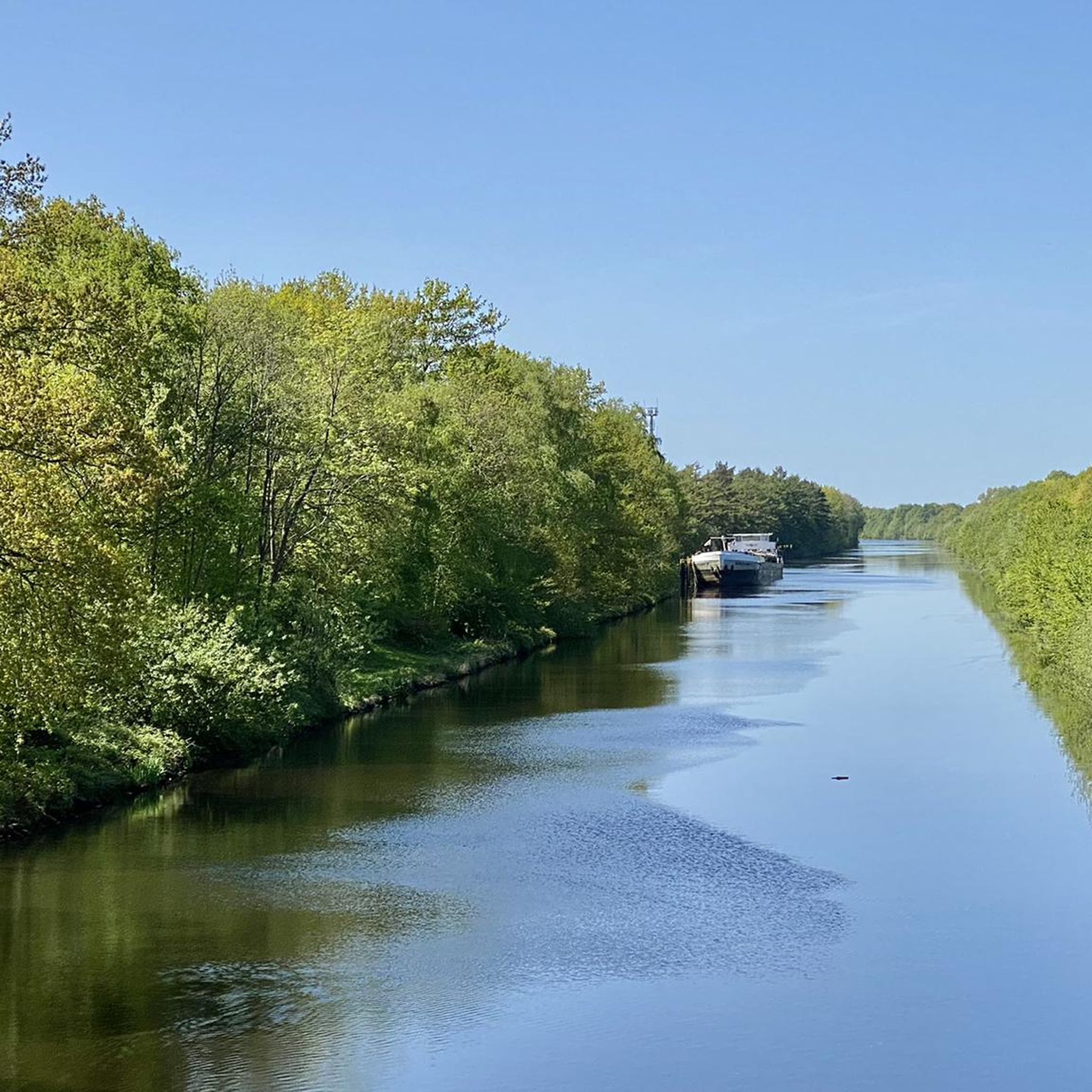
The Küstenkanal (Coastal Canal) connects the Weser/Hunte and the Ems/Dortmund-Ems Canal. Cycling along the canal is wonderfully relaxing, on both the right and left banks.
5
0

On Father's Day, a local resident offered a beer truck and bratwurst grill, plus seating. Great initiative! We'll be back at Pentecost 👍😄
1
0

Overall, it's great, but there are a few nasty bumps in the asphalt in the northern section. And when the weather is nice, there are a lot of walkers here.
2
0

For bicycle commuters, the new cycle path is a very good solution for a relaxed ride from Bad Zwischenahn to Oldenburg and back
5
1
Frequently Asked Questions
How many road cycling routes are available in the Benthullener Moor area?
There are over 60 road cycling routes available in the Benthullener Moor area, offering a variety of options for different skill levels. You'll find a good mix of easy and moderate routes to explore.
What is the typical terrain and difficulty level for road cycling routes around Benthullener Moor?
The terrain around Benthullener Moor is generally flat, characterized by canal paths and rural roads. Most routes are classified as easy or moderate, with no difficult routes, making it suitable for a wide range of cyclists looking for a relaxed ride.
Are there specific viewpoints or natural features to observe while road cycling near Benthullener Moor?
While direct access into the core nature reserve is restricted, you can observe the unique moorland ecosystem from surrounding roads. The "Dortmunder Weg" on the eastern side offers views along the entire length of the nature reserve. Many routes also follow canals, providing open views of the flat landscape, such as the Jeddeloh II coastal canal bridge – Path Along the Canal loop from Klein Scharrel.
Are there any special rules or restrictions for cycling in the Benthullener Moor nature reserve?
Yes, Benthullener Moor is a protected nature reserve. While you can cycle on the paved roads surrounding the reserve, entering off designated paths within the core protected areas is forbidden to preserve the sensitive habitat. Dogs must also be kept on a leash if you bring them along.
What do other road cyclists enjoy the most about road cycling in Benthullener Moor?
The area is highly rated by the komoot community, with an average score of 4.5 stars from over 150 reviews. Reviewers often praise the flat canal paths, rural roads, and the tranquil views of the former bog landscape. Over 1,500 road cyclists have used komoot to explore the area.
Are there any circular road cycling routes available?
Yes, many of the routes in the Benthullener Moor area are designed as loops. For example, the Küstenkanal – Lovingly run farm shop loop from Klein Scharrel is a popular easy circular route, and the Küstenkanal Bridge – Path Along the Canal loop from Rudenbrook also offers a pleasant circular experience.
Is Benthullener Moor suitable for family-friendly road cycling?
Given the generally flat terrain and the prevalence of easy and moderate routes, the Benthullener Moor area is well-suited for family-friendly road cycling. The quiet rural roads and canal paths offer a safe and enjoyable environment for cyclists of all ages.
Where can I find parking for road cycling routes in Benthullener Moor?
While specific parking areas for cyclists are not detailed for the immediate nature reserve, you can typically find parking in the surrounding villages like Klein Scharrel or Rudenbrook, which serve as starting points for many routes. It's advisable to check local parking options before your visit.
Are there any longer road cycling routes for more experienced riders?
Yes, for those looking for longer rides, there are moderate routes available. The Küstenkanal Bridge – Garrel Village Park loop from Rudenbrook is a substantial 79.9 km route, and the Jeddeloh II coastal canal bridge – Path Along the Canal loop from Klein Scharrel covers nearly 60 km, offering extended sections along the canal.
What kind of natural landscape can I expect to see while road cycling in this region?
The region is characterized by a unique landscape of former raised bog, now largely overgrown with bushes and woodland. You'll encounter areas of wet heath and re-naturalizing peat cuttings, which host flora and fauna typical of high moorlands. The southern part features birch swamp forest, and many routes offer views of these distinctive natural features.
Can I access the Benthullener Moor area by public transport with my bike?
Public transport options directly into the heart of the Benthullener Moor nature reserve are limited. However, you may find regional bus services connecting to nearby towns and villages like Oldenburg, which could allow you to bring your bike. It's recommended to check local public transport schedules and bike carriage policies in advance.
Are there any cafes or pubs near the road cycling routes in Benthullener Moor?
While the immediate nature reserve is undeveloped, the surrounding villages and towns, such as Klein Scharrel, Rudenbrook, or Edewecht, offer local cafes, pubs, and farm shops where you can stop for refreshments. The Küstenkanal – Lovingly run farm shop loop from Klein Scharrel even highlights a farm shop along its route.
Most popular routes in Benthullener Moor

Get inspired with the komoot mobile app


Explore more
Browse the best Road cycling routes in other regions.
