The best road cycling routes in Naturschutzgebiet Am Heeder Moor
4.5
(145)
2,527
riders
275
rides
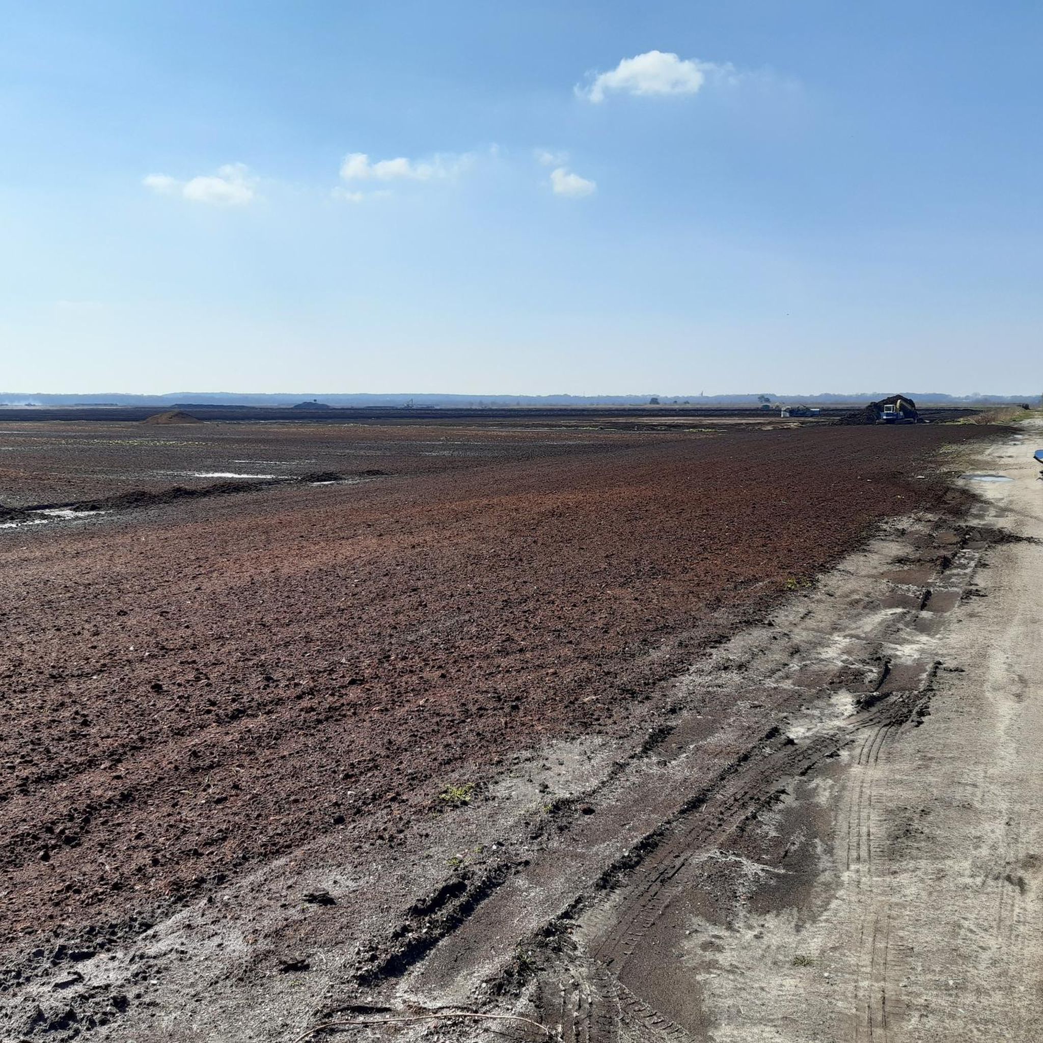
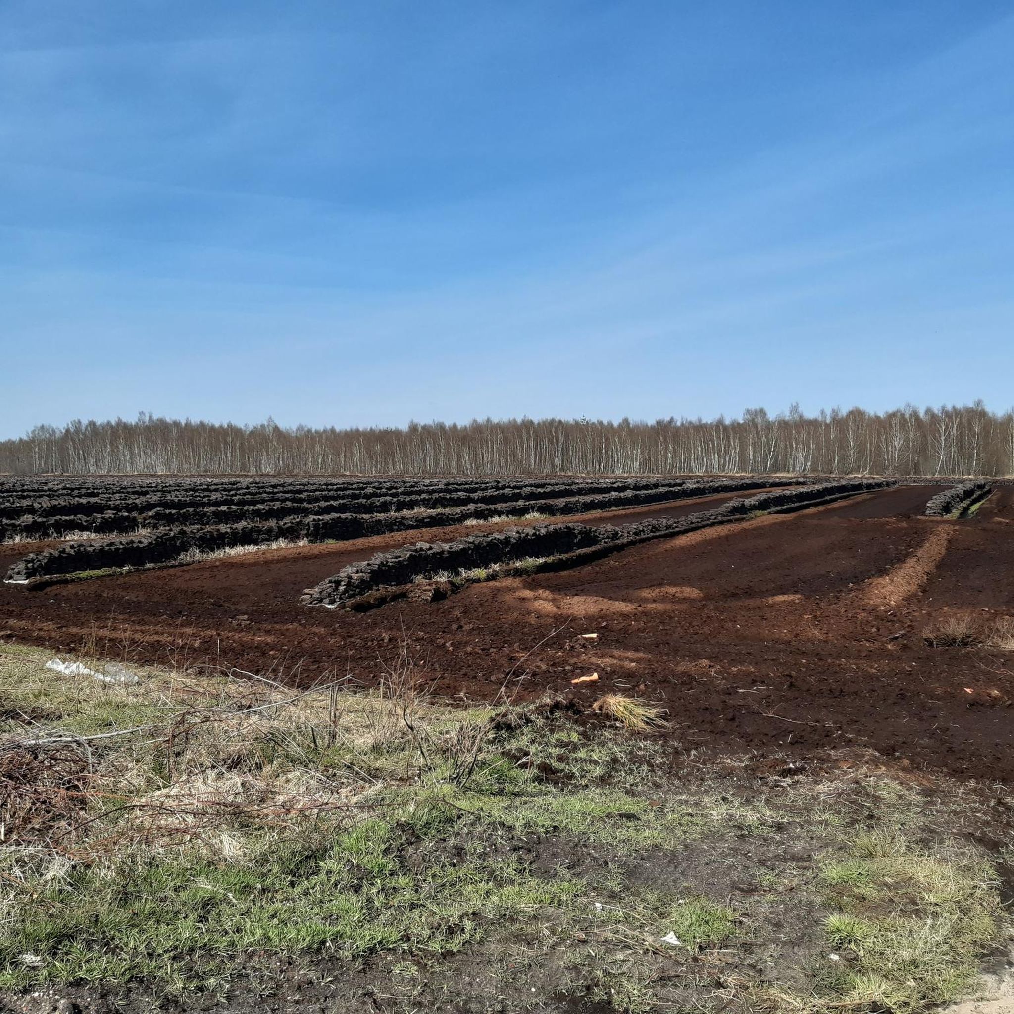
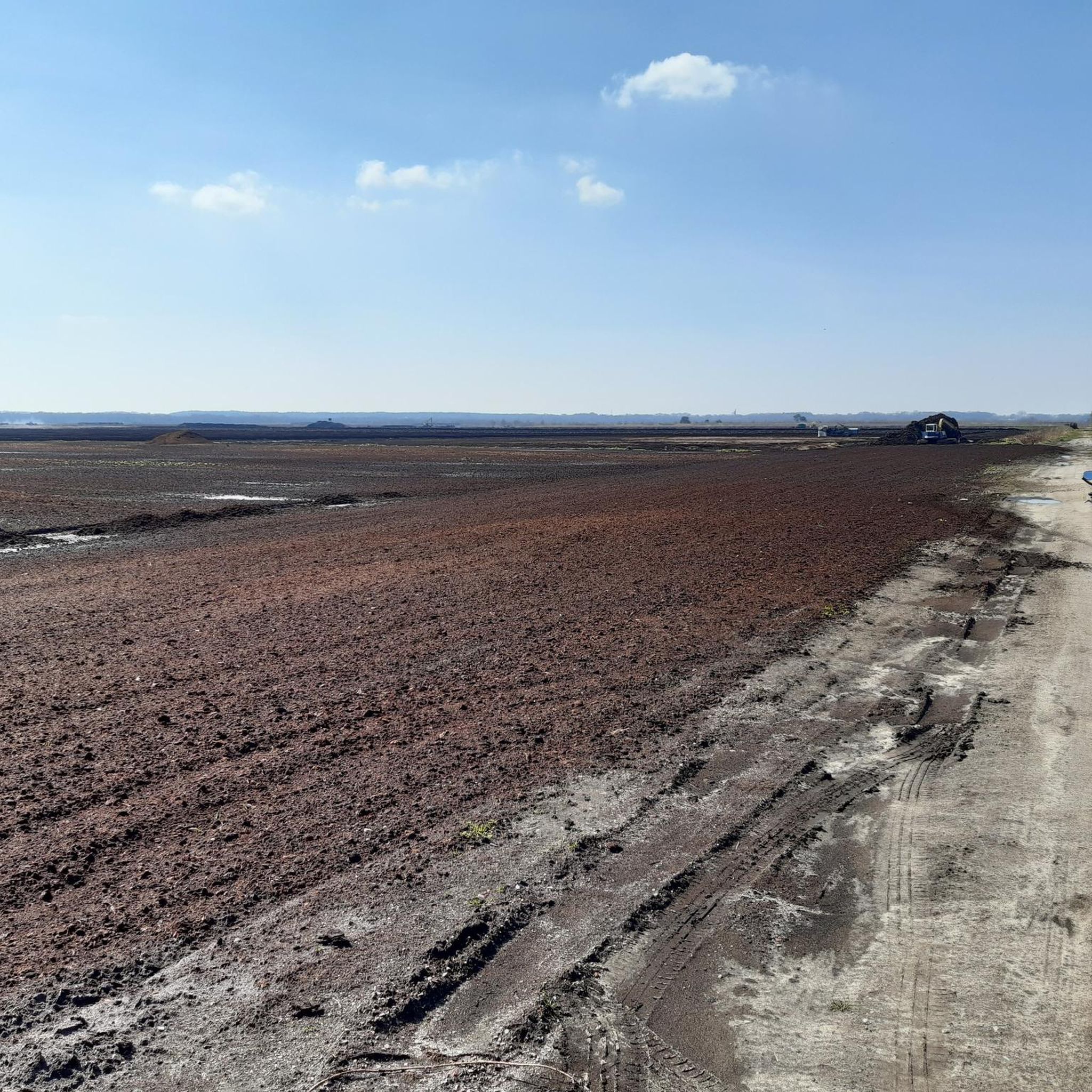
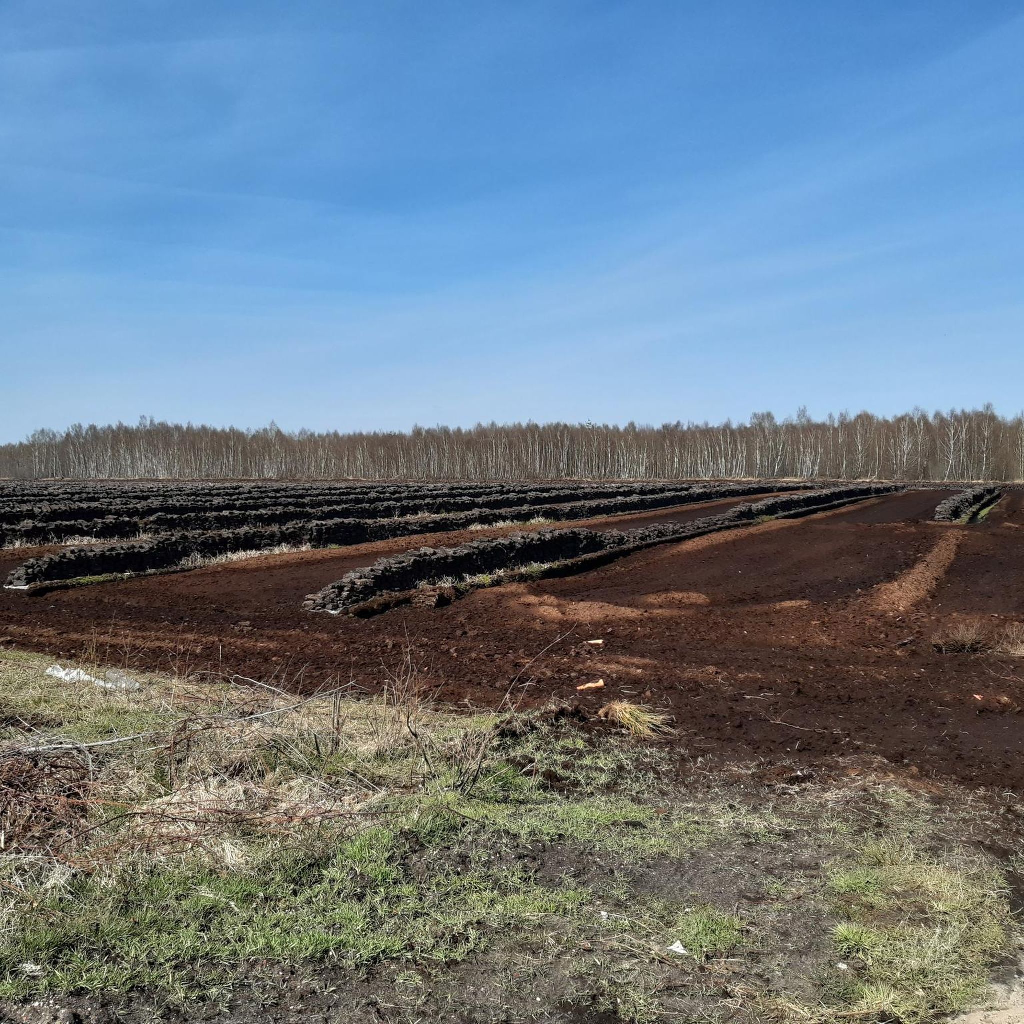
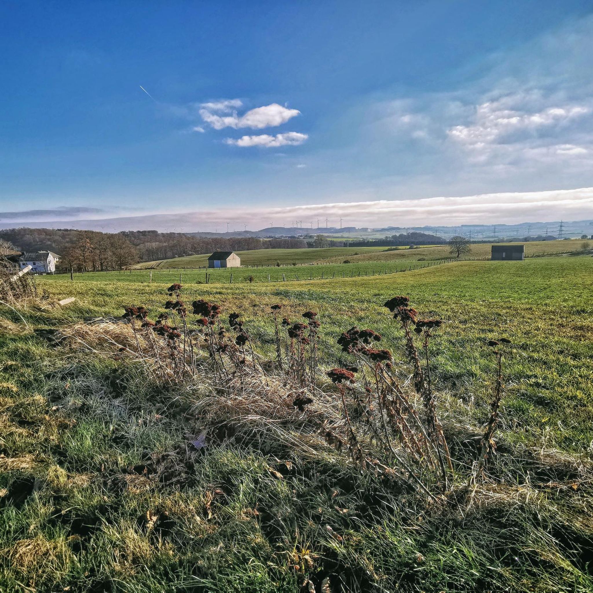
Road cycling in Naturschutzgebiet Am Heeder Moor features a landscape characterized by flat to gently rolling terrain, typical of a moorland nature reserve. The region offers open agricultural lands interspersed with small woodlands and water features, providing a consistent surface for road cyclists. Elevations are generally low, with routes experiencing minimal climbs, making it suitable for various fitness levels.
Best road cycling routes in Naturschutzgebiet Am Heeder Moor
- The most popular road cycling route is Aschen Local History Museum –…
Last updated: July 2, 2026
3.4
(10)
14
riders
Moderate road ride. Great for any fitness level. Some segments of this route may be unpaved and difficult to ride.
8
riders
Easy road ride. Great for any fitness level. Mostly well-paved surfaces and easy to ride.

Sign up for free
4.8
(5)
60
riders
114km
04:26
190m
190m
Moderate road ride. Good fitness required. Mostly well-paved surfaces and easy to ride.
4.8
(5)
53
riders
57.7km
02:19
130m
130m
Moderate road ride. Good fitness required. Mostly well-paved surfaces and easy to ride.
5.0
(1)
32
riders
Moderate road ride. Great for any fitness level. Some segments of this route may be unpaved and difficult to ride.
Get access to more routes and recommendations from other explorers.
Sign up for free
Already have an account?
Our route recommendations are based on thousands of hikes, rides, and runs completed by other people on komoot.
Start today with a free account
Your next adventure awaits.
Login or Signup
Tips from the Community


I'm really surprised how beautifully everything is designed here.
0
0

This bridge crosses the Hunte river.
1
0
The bridge – a truly special connection between Diepholz and Thouars. The bridge leaves plenty of room for the viewer's imagination, as its lighting concept is so varied that it is illuminated with different light scenes each month. For example, in June, the month of the signing of the town twinning agreement between Diepholz and Thouars, the bridge is illuminated in the colors of the German and French tricolors, as well as the coats of arms of Diepholz and Thouars. In other months, dynamic light displays depicting scenes such as beach and sun, snowfall, or spring meadows appear, constantly transforming the bridge's appearance. However, as soon as pedestrians or cyclists approach the bridge, their path is always illuminated in white light. Projections from GOBO spotlights clearly indicate the correct route in the approach area. This white light also appears in various movements on the bridge, making crossing it a unique experience every time.
2
0

A super beautiful summer garden
0
0
It's a really cool piece
0
0

Beautiful beer garden. Invites you to linger
1
0
Frequently Asked Questions
How many road cycling routes are available in Naturschutzgebiet Am Heeder Moor?
There are over 280 road cycling routes in Naturschutzgebiet Am Heeder Moor, offering a wide variety of options for different skill levels and preferences. The komoot community has contributed to mapping these diverse paths.
What is the best time of year for road cycling in Naturschutzgebiet Am Heeder Moor?
The region's flat to gently rolling terrain makes it suitable for road cycling through much of the year. Spring and autumn generally offer pleasant temperatures and beautiful scenery, while summer provides longer daylight hours. Winter conditions can vary, so checking local weather forecasts is advisable.
Are there road cycling routes suitable for beginners in Naturschutzgebiet Am Heeder Moor?
Yes, Naturschutzgebiet Am Heeder Moor offers numerous routes ideal for beginners. These routes typically feature minimal climbs and consistent surfaces. An excellent option is the Aschen Local History Museum – The longest bathtub in the world loop from Aschen, an easy 25.0-mile (40.2 km) trail.
What options are there for experienced road cyclists seeking a challenge?
For more experienced road cyclists, the region provides longer routes with varied open landscapes and gentle ascents. Consider the Kellenberg Climb – Diepholz Castle loop from Diepholz, a moderate 71.5-mile (115.1 km) path that offers a more extensive ride.
Are there family-friendly road cycling routes in Naturschutzgebiet Am Heeder Moor?
The generally flat and well-maintained paths throughout Naturschutzgebiet Am Heeder Moor are very suitable for families. Routes with lower elevation gains and shorter distances, such as the Diepholz Castle – Lehmder Damm loop from Diepholz, are great choices for a family outing.
Where can I find parking for road cycling routes in Naturschutzgebiet Am Heeder Moor?
Parking availability varies depending on the specific starting point of your chosen route. Many routes begin near towns or villages like Aschen or Diepholz, where public parking facilities are often available. It's recommended to check the route details on komoot for specific parking suggestions near the trailhead.
Can I access road cycling routes in Naturschutzgebiet Am Heeder Moor using public transport?
Access to Naturschutzgebiet Am Heeder Moor via public transport is possible, particularly to larger towns like Diepholz, which serve as common starting points for many routes. From these central locations, you can often begin your ride directly or connect to the wider cycling network. Check local bus or train schedules for the most current information.
Are there loop road cycling trails in Naturschutzgebiet Am Heeder Moor?
Yes, many road cycling routes in Naturschutzgebiet Am Heeder Moor are designed as loops, allowing you to start and end at the same point. Examples include the Huntestau Rechtern – Diepholz Castle loop from Diepholz, which takes you through the Hunte river area.
What kind of scenery can I expect along road cycling routes in Naturschutzgebiet Am Heeder Moor?
Road cycling in Naturschutzgebiet Am Heeder Moor offers scenic views of open moorland, flat agricultural lands, and small woodlands. You'll encounter water features and experience the tranquil, expansive landscapes characteristic of a nature reserve, providing a consistent and enjoyable surface for road cyclists.
What do other road cyclists enjoy the most about road cycling in Naturschutzgebiet Am Heeder Moor?
The area is highly rated by the komoot community, with an average score of 4.7 stars from over 100 reviews. Reviewers often praise the region's flat and well-maintained roads, the peaceful moorland scenery, and the variety of routes suitable for different fitness levels, making it a great destination for a relaxed ride.
Are there opportunities for wildlife spotting while road cycling?
As a nature reserve, Naturschutzgebiet Am Heeder Moor offers opportunities to observe local wildlife, especially in the quieter sections of the routes. Keep an eye out for various bird species and other small animals that inhabit the moorland, agricultural fields, and wooded areas.
Are there cafes or refreshment stops near the road cycling routes?
While the routes primarily traverse natural and agricultural landscapes, you'll find cafes and refreshment stops in the nearby towns and villages, such as Aschen and Diepholz. These are convenient for a break before or after your ride, or for longer routes that pass through these settlements.
Most popular routes in Naturschutzgebiet Am Heeder Moor

Get inspired with the komoot mobile app


Explore more
Browse the best Road cycling routes in other regions.
