The best mountain hikes in Naturschutzgebiet Oberharz
4.7
(122)
462
hikers
64
hikes
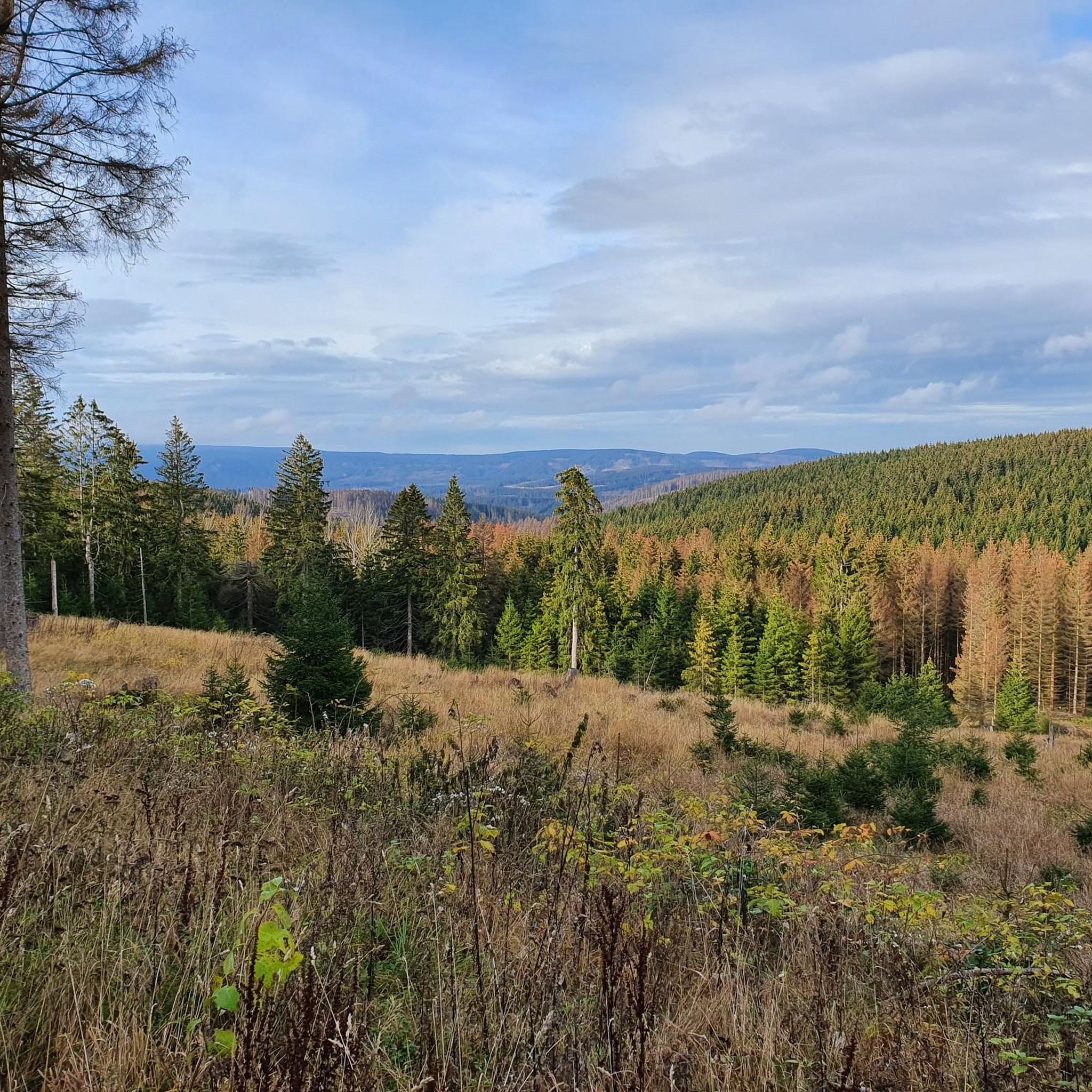
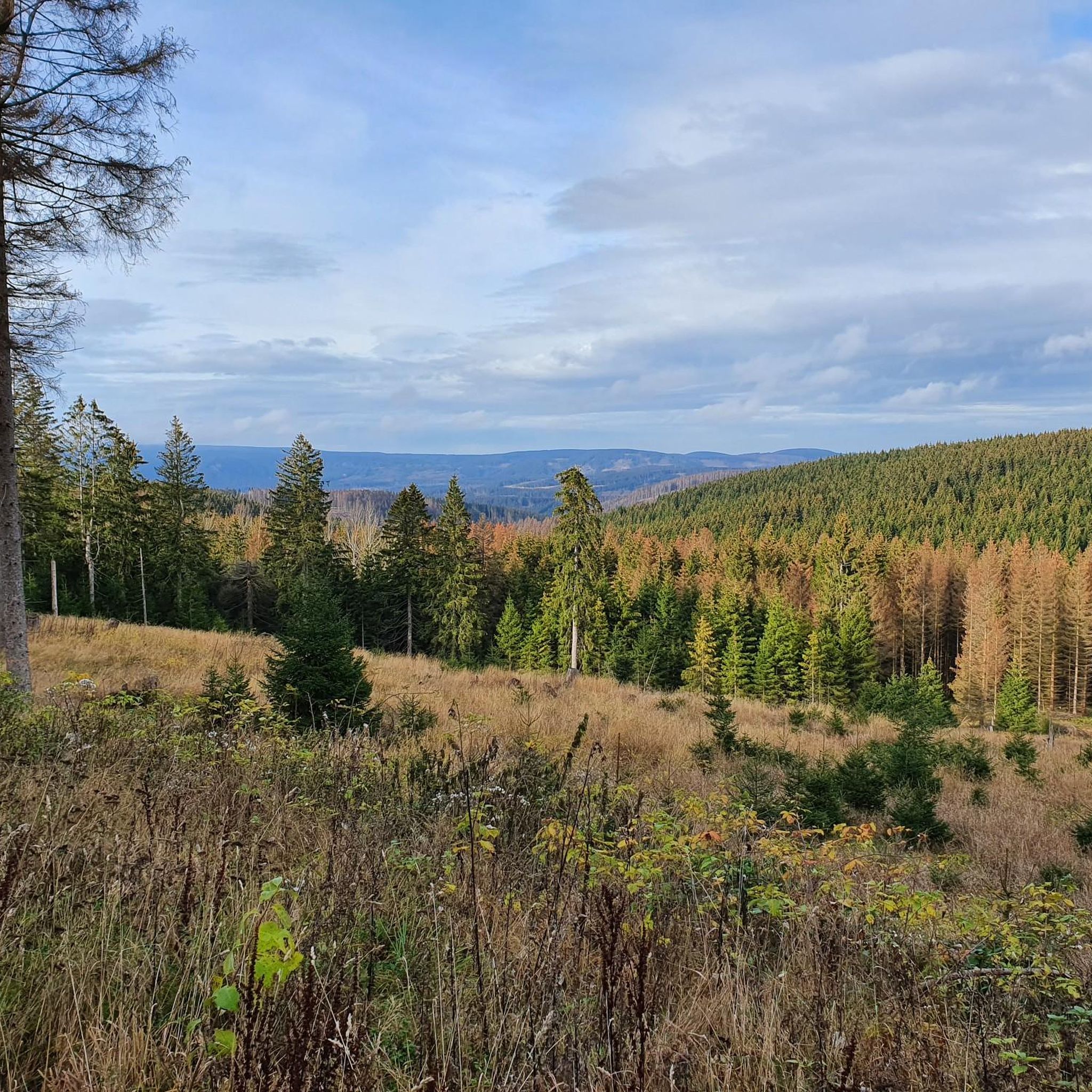
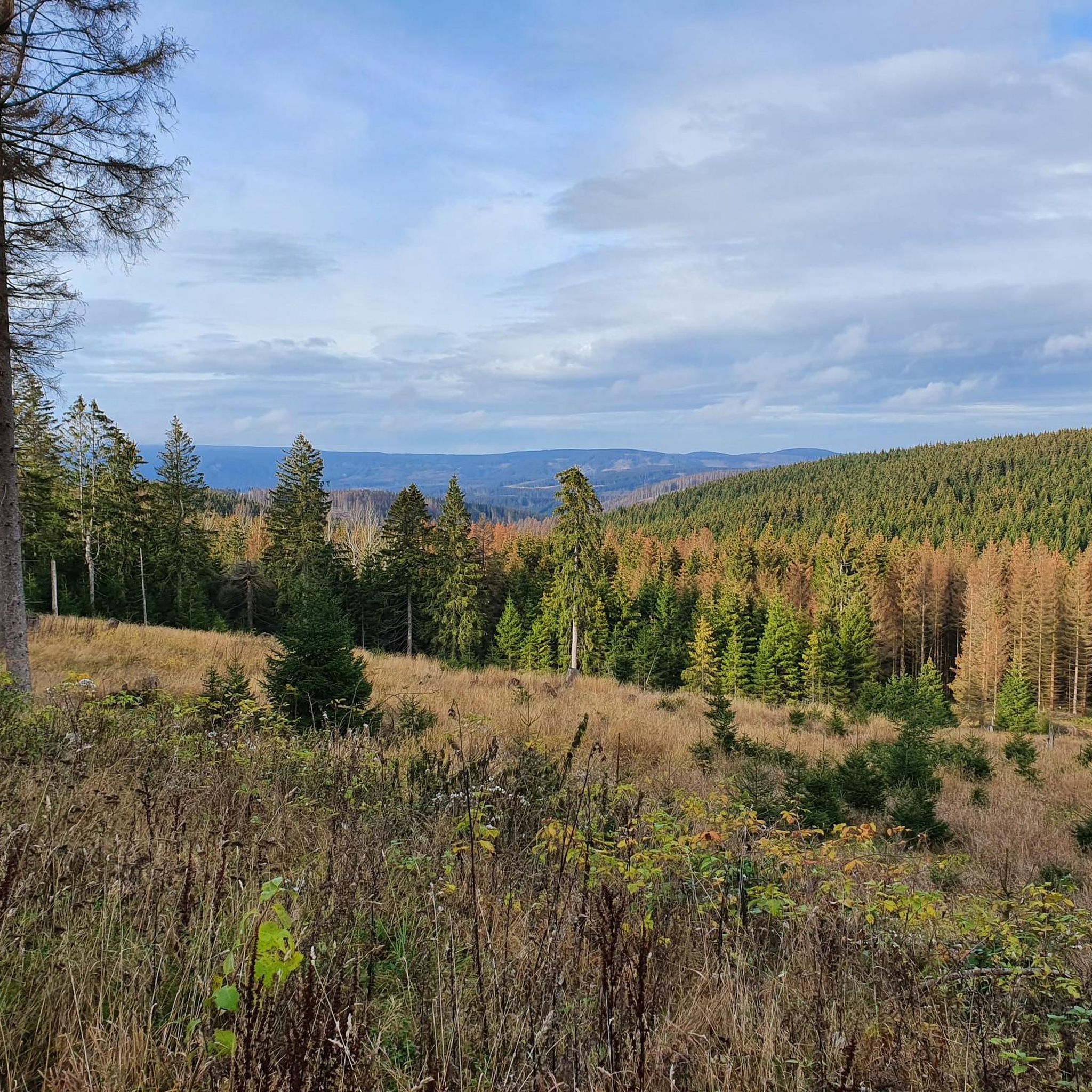
Mountaineering in Naturschutzgebiet Oberharz features a diverse landscape within the Harz National Park, characterized by extensive spruce and beech forests, moors, and significant rock formations. The region includes challenging terrain, such as the quartzite cliffs of Jermerstein and the high-altitude environment of the Brocken mountain. Elevations vary, offering routes that traverse dense woodlands and open, rocky areas. This environment provides varied conditions for mountaineering, from forest paths to exposed mountain trails.
Best mountaineering routes in Naturschutzgebiet Oberharz
- The most popular…
Last updated: September 29, 2026
5.0
(2)
11
hikers
24.5km
07:34
890m
890m
Hard mountaineering route. Very good fitness required. Mostly accessible paths. Sure-footedness required.
5.0
(2)
5
hikers
15.1km
04:31
430m
430m
Hard mountaineering route. Good fitness required. Sure-footedness, sturdy shoes and alpine experience required.

5.0
(2)
4
hikers
Moderate mountaineering route. Great for any fitness level. Mostly accessible paths. Sure-footedness required.
5.0
(2)
7
hikers
22.8km
06:45
660m
660m
Hard mountaineering route. Very good fitness required. Mostly accessible paths. Sure-footedness required.
2
hikers
Moderate mountaineering route. Great for any fitness level. Mostly accessible paths. Sure-footedness required.
Get access to more routes and recommendations from other explorers.
Already have an account?
Our route recommendations are based on thousands of hikes, rides, and runs completed by other people on komoot.
Start today with a free account
Your next adventure awaits.
Tips from the Community

Mega beautiful slope trail that is second to none, you can't deny its alpine character.
0
0


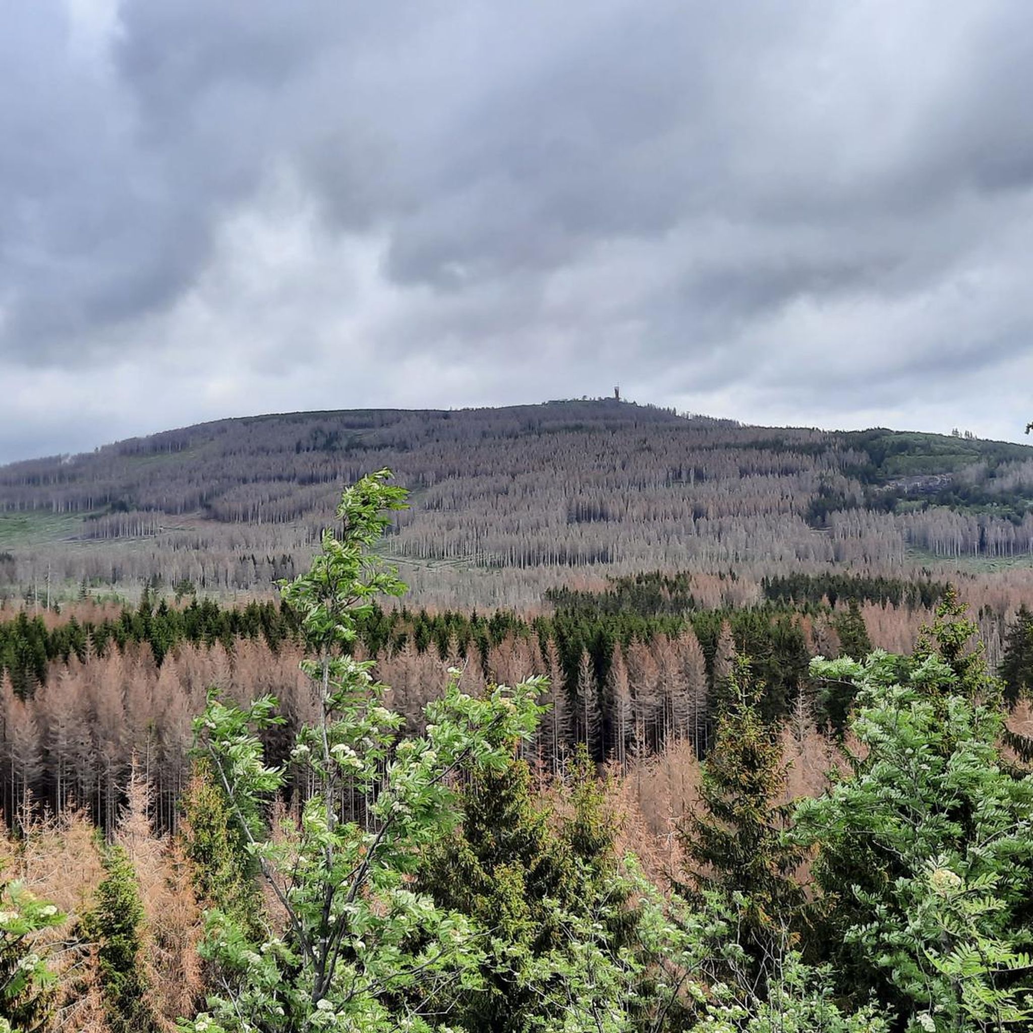
Always nice to discover the Brocken
0
1

sporty trail that is fun
1
0


There is a fantastic view from the Wolfswarte. The walk there from the Wolfswarte hiking car park is worth it!
0
1

Yay, I can see the Brocken 👌🌝
0
1

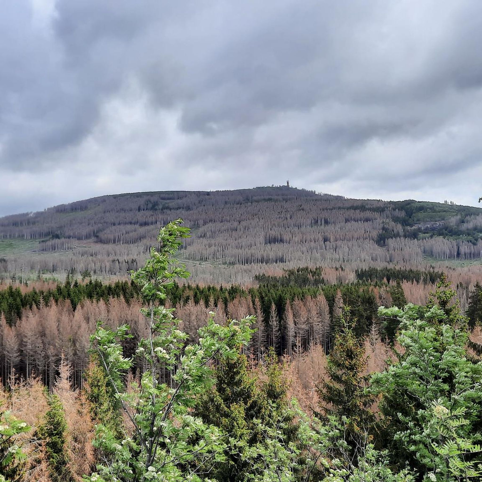
Very impressive how the Bocken stretches beyond the Harz
0
1
Frequently Asked Questions
What kind of terrain can I expect on mountaineering routes in Naturschutzgebiet Oberharz?
The terrain in Naturschutzgebiet Oberharz is diverse, ranging from extensive spruce and beech forests to open moors and impressive rock formations. You'll find paths traversing dense woodlands, as well as more exposed mountain trails, particularly around the quartzite cliffs of Jermerstein and the higher elevations of the Brocken mountain. The landscape is also shaped by granite cliffs and mountain streams, offering varied conditions for mountaineering.
How many mountaineering routes are available in Naturschutzgebiet Oberharz?
There are over 60 mountaineering routes available in Naturschutzgebiet Oberharz. These routes cater to various skill levels, with options ranging from moderate forest paths to challenging summit ascents.
Are there any easy mountaineering routes suitable for beginners in Naturschutzgebiet Oberharz?
Yes, there are a few easier mountaineering routes. While many trails are moderate to difficult, you can find around 4 routes classified as easy. These typically involve less elevation gain and cover shorter distances, making them suitable for those new to mountaineering or looking for a less strenuous experience.
What are some notable natural features or landmarks I can see along the mountaineering routes?
Mountaineering routes in Naturschutzgebiet Oberharz offer access to several impressive natural features. You can explore the striking quartzite cliffs of Jermerstein, which provide expansive views. Other highlights include the Maiden Crag and the Kalbetal climb to Torfhaus. The region is also known for its well-preserved moors and diverse forest ecosystems.
Are there any circular mountaineering routes in Naturschutzgebiet Oberharz?
Yes, many mountaineering routes in Naturschutzgebiet Oberharz are designed as loops. For example, the challenging Brocken Summit – View of the Eckertalsperre loop from Torfhaus offers a substantial circular journey. Another option is the moderate Wolfswarter footpath - Trail S1-S2 (blocked) – Wolfswarte Summit loop from Harz (LK Goslar), which takes you through forested areas.
What do other mountaineers say about their experience in Naturschutzgebiet Oberharz?
The mountaineering routes in Naturschutzgebiet Oberharz are highly rated by the komoot community, with an average score of 4.8 stars from over 100 reviews. Mountaineers often praise the varied terrain, the challenging ascents towards peaks like the Brocken, and the stunning panoramic views from viewpoints such as Jermerstein.
Can I bring my dog on the mountaineering trails in Naturschutzgebiet Oberharz?
Generally, dogs are welcome on trails in the Harz National Park, which encompasses Naturschutzgebiet Oberharz. However, it's crucial to keep them on a leash to protect wildlife and respect other hikers. Always check specific trail regulations before you go, as some sensitive areas might have restrictions.
What is the best time of year for mountaineering in Naturschutzgebiet Oberharz?
The Harz region offers distinct experiences throughout the year. Spring and autumn are particularly inviting for hikes through the extensive beech forests. For higher altitudes and the Brocken, summer provides the most stable weather conditions, though the climate at the summit can be extreme year-round. Winter mountaineering is possible but requires appropriate gear and experience due to snow and ice.
Are there any routes that feature waterfalls?
Yes, one notable route that includes a natural water feature is the difficult Wolfswarte Summit – Nabentaler Waterfall loop from Torfhaus. This path combines summit views with the beauty of a waterfall, offering a diverse experience for mountaineers.
Where can I find parking for mountaineering routes in Naturschutzgebiet Oberharz?
Communities like Altenau, Bad Harzburg, and Braunlage serve as excellent starting points for exploring the extensive hiking routes within the National Park and typically offer designated parking areas for hikers. Torfhaus is also a key access point with parking facilities, especially for routes heading towards the Brocken.
Are there any challenging mountaineering routes for experienced hikers?
Absolutely. Naturschutzgebiet Oberharz is known for its challenging terrain. Routes like the Brocken Railway Station – Eckerlochstieg Trail loop from Braunlage are classified as difficult, involving significant elevation gain and longer distances. These routes are ideal for experienced mountaineers seeking an invigorating mountain experience.
Can I access mountaineering trails in Naturschutzgebiet Oberharz using public transport?
Yes, the Harz region has public transport options that can bring you close to many trailheads. Major towns and villages around the Naturschutzgebiet Oberharz, such as Braunlage and Torfhaus, are often connected by bus services, making it possible to reach starting points for various routes without a car. For detailed information on public transport, it's best to check local schedules.
Most popular routes in Naturschutzgebiet Oberharz
Most popular attractions in Naturschutzgebiet Oberharz

Get inspired with the komoot mobile app


Explore more
Browse the best Mountain Hikes & Routes in other regions.
