The best road cycling routes in Naturschutzgebiet Oberharz
4.6
(490)
9,062
riders
156
rides
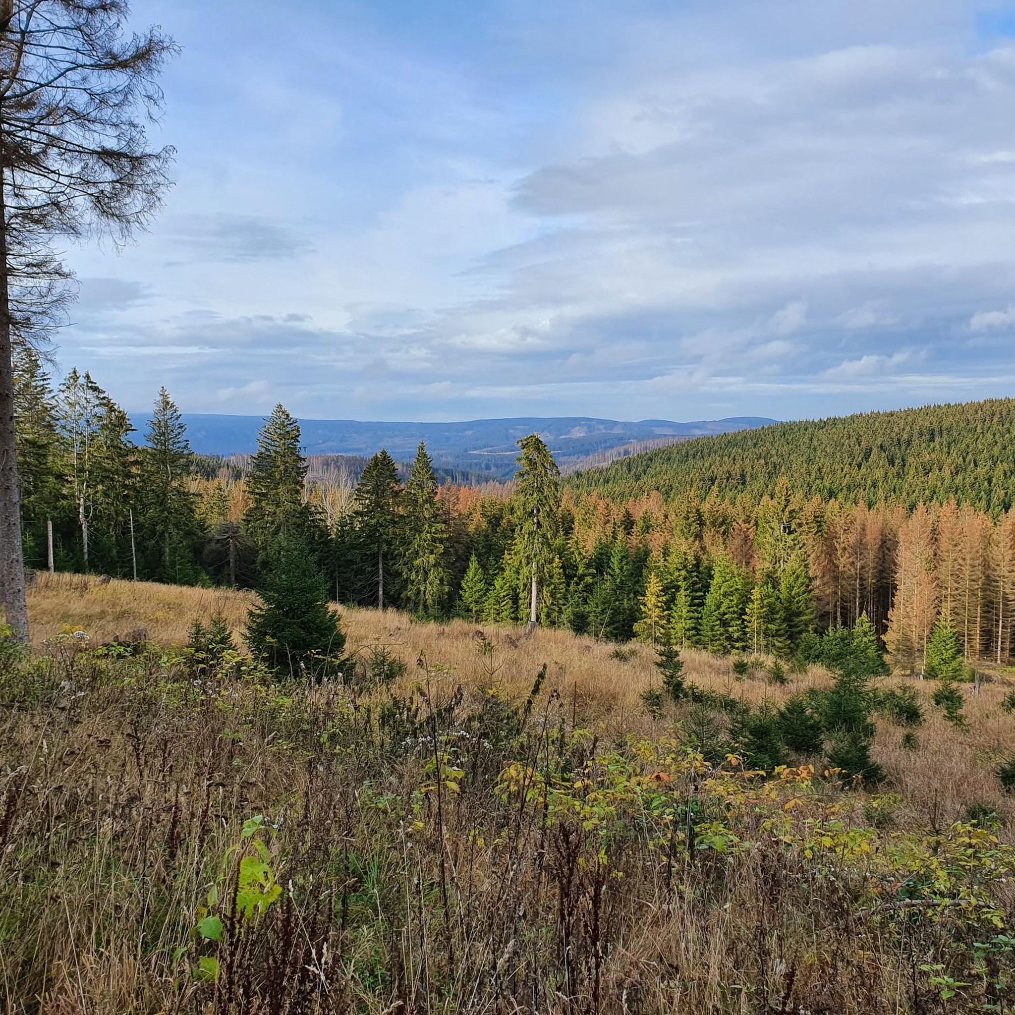
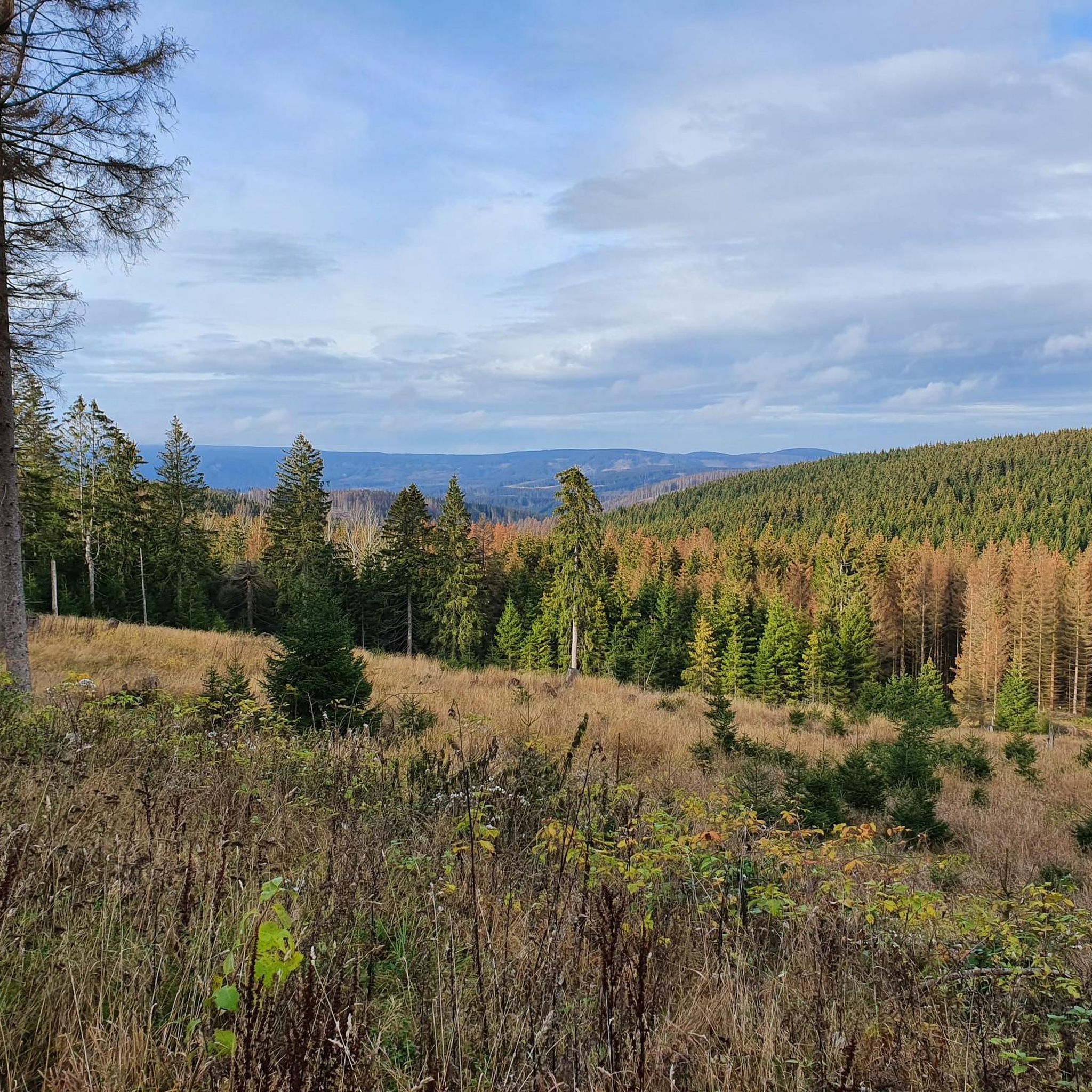
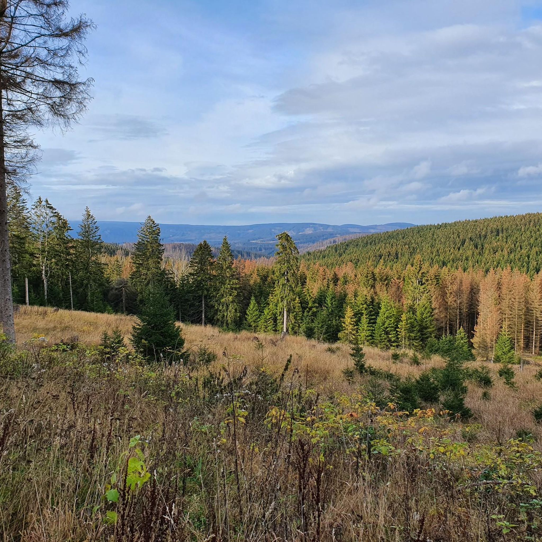
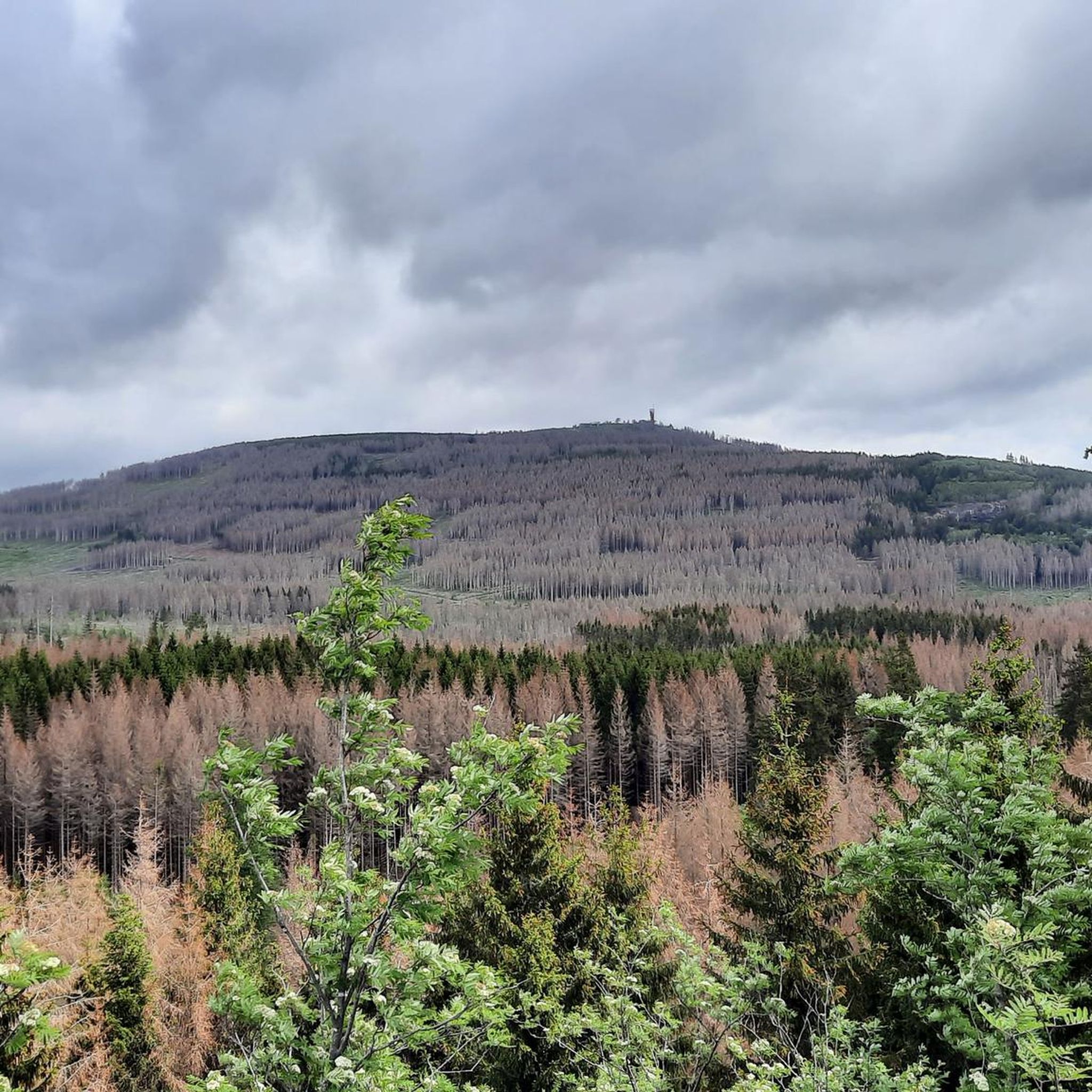
Road cycling in Naturschutzgebiet Oberharz offers diverse terrain with well-maintained roads, featuring varied climbs and descents, some with gradients up to 18%. The region is characterized by a mountainous landscape and dense forests, providing a challenging environment for racing cyclists. Long, winding roads and hairpin bends are common, enhancing the riding experience. Notable features include the Okertalsperre (Oker Dam), which offers scenic routes.
Best road cycling routes in Naturschutzgebiet Oberharz
- The most popular road cycling route is Brockenbahn Steam Railway…
Last updated: July 12, 2026
4.7
(39)
957
riders
40.0km
02:10
770m
770m
Moderate road ride. Good fitness required. Some segments of this route may be unpaved and difficult to ride.
5.0
(9)
289
riders
85.7km
04:33
1,660m
1,650m
Hard road ride. Very good fitness required. Some segments of this route may be unpaved and difficult to ride.

Sign up for free
4.5
(4)
175
riders
98.0km
04:34
1,250m
1,250m
Hard road ride. Very good fitness required. Mostly well-paved surfaces and easy to ride.
5.0
(4)
116
riders
Hard road ride. Very good fitness required. Some segments of this route may be unpaved and difficult to ride.
5.0
(5)
117
riders
Moderate road ride. Good fitness required. Some segments of this route may be unpaved and difficult to ride.
Get access to more routes and recommendations from other explorers.
Sign up for free
Already have an account?
Our route recommendations are based on thousands of hikes, rides, and runs completed by other people on komoot.
Start today with a free account
Your next adventure awaits.
Login or Signup
Tips from the Community

Good cycle path, somewhat monotonous and unfortunately not continuous.
4
0

The Brocken summit is always exciting
0
0

In the heart of the Rappbode Valley, the "Titan-RT" spans the Bode reservoir with an incredible total length of 458.5 meters. The delicate cable structure was completed in spring 2017 and, with a massive tensile force of 947 tons, claws its way into the slate rocks on both sides of the valley. Four main suspension cables with a diameter of 65 mm form the backbone of the 120-ton structure. In addition, two stabilizing cables keep the bridge in shape—and in position during higher wind speeds. The 120-cm-wide walkway (grating) is lined along its entire length by a 130-cm-high railing and is enclosed on the sides by stainless steel mesh. Highly recommended⭐️⭐️⭐️⭐️⭐️
2
0

Nice climb, but unfortunately too much traffic.
1
0

Beautiful route without traffic, mostly 6-7% gradient, occasionally up to 14%
0
0
The descent is nice, the asphalt is good, but the town sign is also special.
1
0
The view from the dam is already good, and the suspension bridge takes it to the next level.
1
0
The path over the dam is good, but the view of the suspension bridge makes it even more special.
2
0
Frequently Asked Questions
How many road cycling routes are available in Naturschutzgebiet Oberharz?
There are over 170 road cycling routes in Naturschutzgebiet Oberharz, offering a wide range of options for different skill levels. You can find routes varying from moderate to difficult, with many featuring significant elevation changes.
What kind of terrain can I expect on road cycling routes in Naturschutzgebiet Oberharz?
Road cycling in Naturschutzgebiet Oberharz is characterized by diverse terrain, including varied climbs and descents with gradients up to 18%. You'll encounter long, winding roads and hairpin bends through dense forests and a mountainous landscape, providing a challenging and engaging experience.
Are there challenging climbs for experienced road cyclists in the region?
Yes, Naturschutzgebiet Oberharz is an excellent training ground for experienced road cyclists, featuring demanding climbs. For instance, the Kalbetal climb to Torfhaus is highly regarded, starting moderately and becoming steeper towards the end, reaching up to 14%. Routes like the Brockenbahn Steam Railway – Brocken Summit loop from Torfhaus also include substantial climbing towards the Brocken, the highest peak in the Harz Mountains.
Can I find easier road cycling routes suitable for beginners in Naturschutzgebiet Oberharz?
While many routes feature significant elevation, there are options for less experienced riders. Approximately 17 easy road cycling routes are available. For example, the Wurmberg Summit – Wurmberg Summit loop from Braunlage is a moderate 11.3 km route with manageable elevation, offering a good starting point.
What are some scenic viewpoints or attractions along the road cycling routes?
The region offers numerous scenic spots. You can ride along the dam wall of the Okertalsperre for picturesque views. Other notable attractions include the Maiden Crag and various viewpoints like the View of Jungfernklippe and the View from Jermerstein Cliffs, which provide stunning panoramas of the mountainous landscape.
What is the best time of year for road cycling in Naturschutzgebiet Oberharz?
The Harz Mountains, including Naturschutzgebiet Oberharz, are generally best for road cycling during the warmer months, from late spring to early autumn. This period offers more stable weather conditions, less chance of snow or ice on higher elevations, and the full beauty of the dense forests and natural features.
Are there any specific rules or permits required for road cycling in the nature reserve?
As Naturschutzgebiet Oberharz is a nature reserve, it's important to respect local regulations. Generally, road cycling is permitted on designated roads. While specific permits for road cycling are not typically required, always stay on marked paths and roads, and be mindful of wildlife and other outdoor enthusiasts. Information on specific rules can often be found at local tourist information centers.
Are there circular road cycling routes available in Naturschutzgebiet Oberharz?
Yes, many road cycling routes in Naturschutzgebiet Oberharz are designed as circular loops, allowing you to start and end at the same point. Examples include the Brockenbahn Steam Railway – Schwarze Schluftwasser loop from Braunlage and the Brockenbahn Steam Railway – Titan RT Suspension Bridge loop from Braunlage, which offer varied distances and challenges.
What do other road cyclists say about their experience in Naturschutzgebiet Oberharz?
The road cycling routes in Naturschutzgebiet Oberharz are highly rated by the komoot community, with an average score of 4.7 stars from over 400 reviews. Cyclists often praise the well-maintained roads, the challenging climbs, and the stunning natural beauty of the dense forests and mountainous terrain.
Where can I find parking for road cycling tours in Naturschutzgebiet Oberharz?
Parking is generally available in towns and villages within or bordering the Naturschutzgebiet Oberharz, such as Braunlage or Torfhaus, which serve as common starting points for many routes. Look for designated parking areas, often near trailheads or tourist information centers, to begin your road cycling adventure.
Are there options for longer, multi-hour road cycling tours?
Absolutely. Naturschutzgebiet Oberharz offers several longer routes for endurance cyclists. For example, the Brockenbahn Steam Railway – Titan RT Suspension Bridge loop from Braunlage is a challenging 98 km route, typically completed in about 4 hours 34 minutes, taking you through varied mountainous terrain.
Can I combine road cycling with other activities, like visiting the Brocken?
While the Brocken, the highest peak in the Harz Mountains, is a major regional attraction, direct road cycling to the summit is not typically possible. However, routes like the Brockenbahn Steam Railway – Brocken Summit loop from Torfhaus include substantial climbing towards the Brocken, allowing you to experience its proximity and views. You can then access the summit via hiking or the historic Brocken Railway.
Most popular routes in Naturschutzgebiet Oberharz
Most popular attractions in Naturschutzgebiet Oberharz

Get inspired with the komoot mobile app


Explore more
Browse the best Road cycling routes in other regions.
