The best walks and hikes in Hochsauerlandkreis
4.6
(101418)
346,100
hikers
7,676
hikes
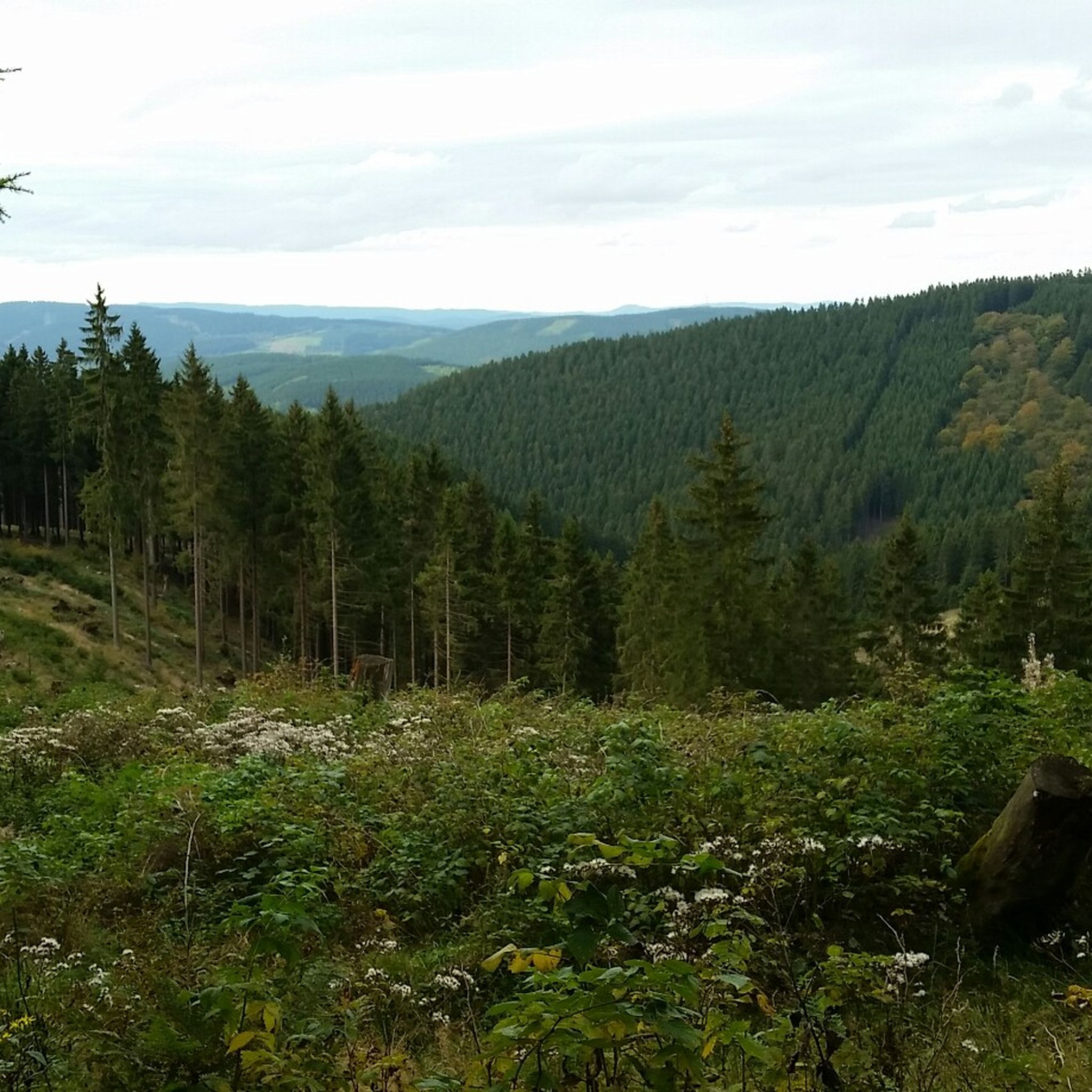
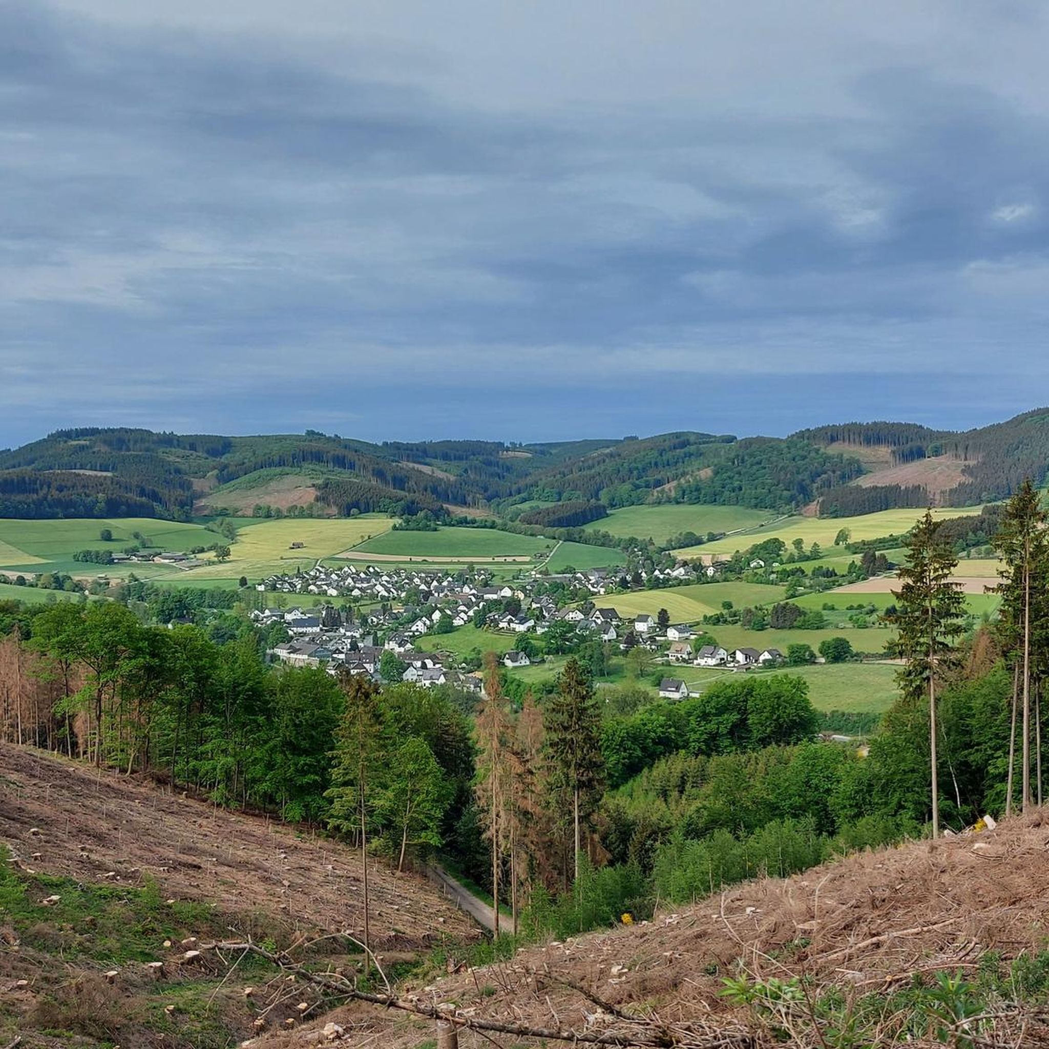
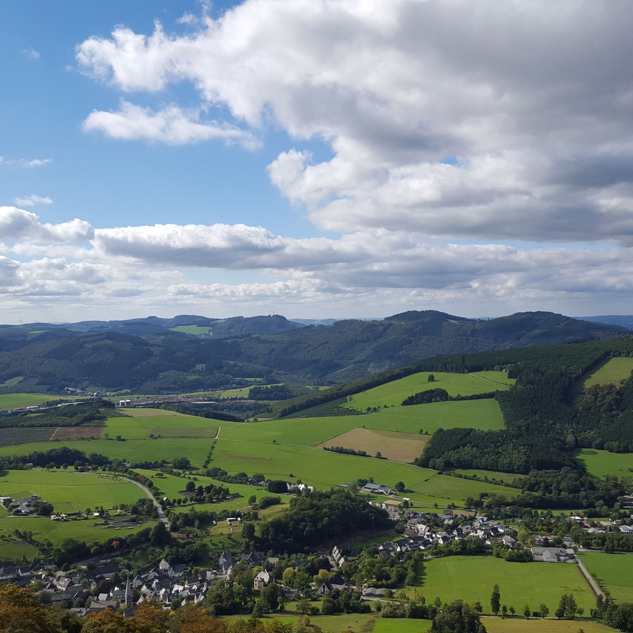
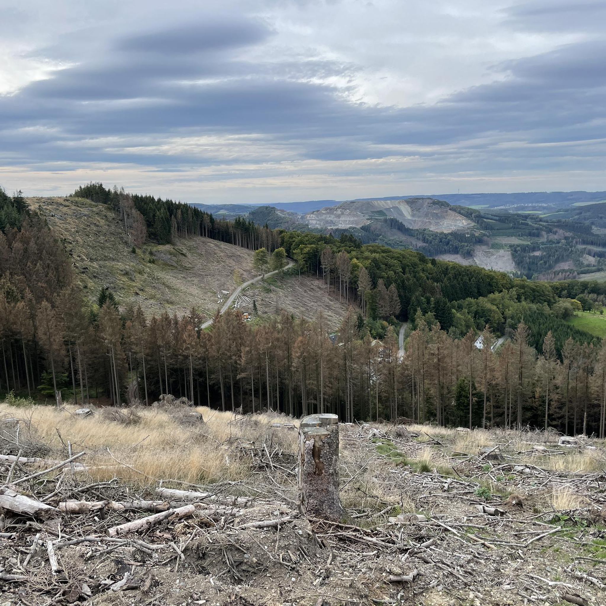
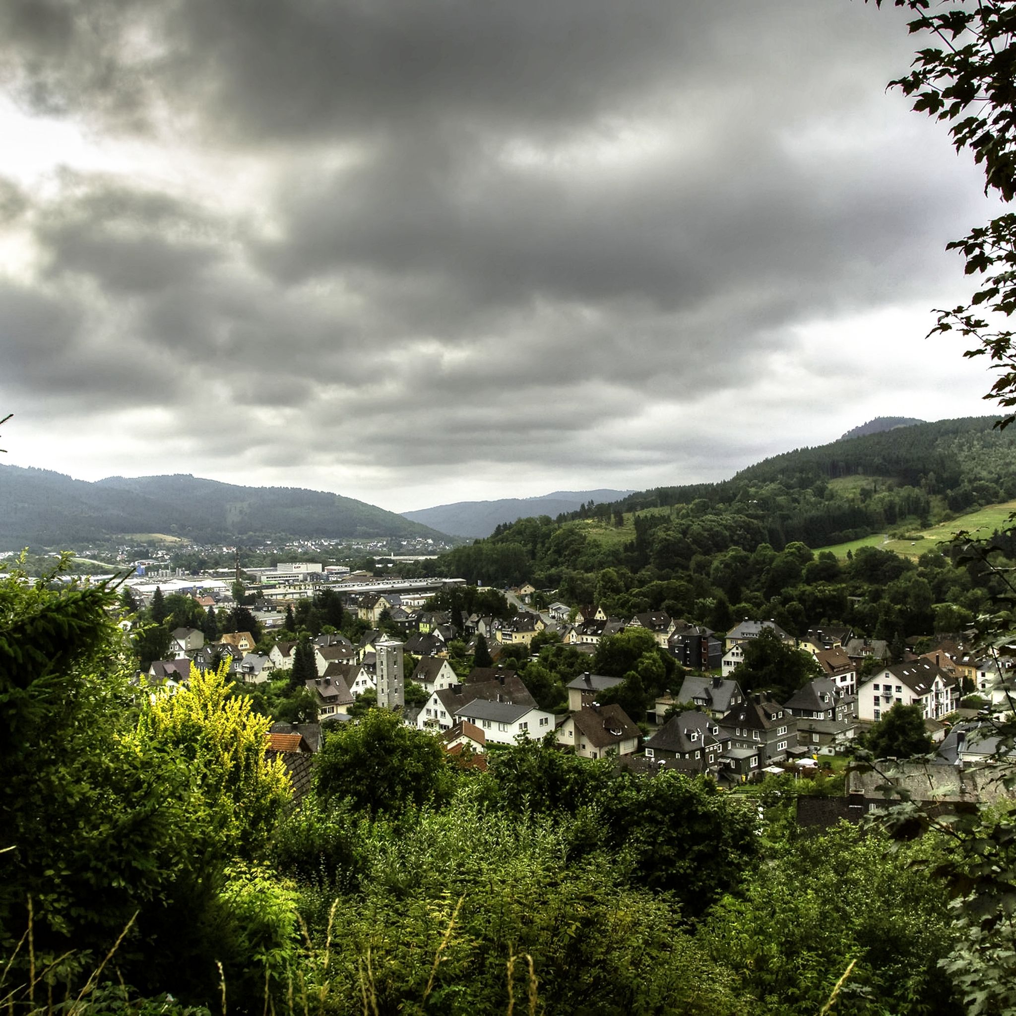
Hiking in Hochsauerlandkreis offers diverse terrain within the Rothaar mountain range in North Rhine-Westphalia, Germany. The region features high mountains, extensive forests, and river valleys. Notable peaks include Langenberg and Kahler Asten, both exceeding 800 meters. Large sections of the district are part of nature parks, such as the Sauerland-Rothaargebirge Nature Park, providing varied landscapes for exploration.
Best hiking trails in Hochsauerlandkreis
- The most popular hiking route is Golddörfer Route from Westfeld to Kahler Asten (Sauerland), a 10.0 miles…
Last updated: September 27, 2026
4.7
(1080)
3,396
hikers
16.2km
04:43
450m
450m
Moderate hike. Good fitness required. Easily-accessible paths. Suitable for all skill levels.
4.7
(1078)
3,391
hikers
16.0km
04:44
470m
470m
Moderate hike. Good fitness required. Mostly accessible paths. Sure-footedness required.

4.8
(461)
1,385
hikers
10.0km
02:55
260m
270m
Moderate hike. Good fitness required. Easily-accessible paths. Suitable for all skill levels.
4.8
(469)
1,402
hikers
10.0km
02:55
260m
270m
Moderate hike. Good fitness required. Easily-accessible paths. Suitable for all skill levels.
4.8
(354)
1,099
hikers
13.1km
03:42
270m
270m
Moderate hike. Good fitness required. Mostly accessible paths. Sure-footedness required.
4.8
(378)
1,183
hikers
14.9km
04:28
460m
460m
Moderate hike. Good fitness required. Easily-accessible paths. Suitable for all skill levels.
4.6
(245)
751
hikers
14.7km
04:17
410m
410m
Moderate hike. Good fitness required. Easily-accessible paths. Suitable for all skill levels.
4.6
(243)
749
hikers
14.5km
04:14
390m
390m
Moderate hike. Good fitness required. Easily-accessible paths. Suitable for all skill levels.
4.7
(220)
718
hikers
6.89km
01:54
120m
120m
Easy hike. Great for any fitness level. Easily-accessible paths. Suitable for all skill levels.
4.8
(211)
639
hikers
14.0km
04:13
450m
450m
Moderate hike. Good fitness required. Easily-accessible paths. Suitable for all skill levels.
Get access to more routes and recommendations from other explorers.
Already have an account?
Our route recommendations are based on thousands of hikes, rides, and runs completed by other people on komoot.
Start today with a free account
Your next adventure awaits.
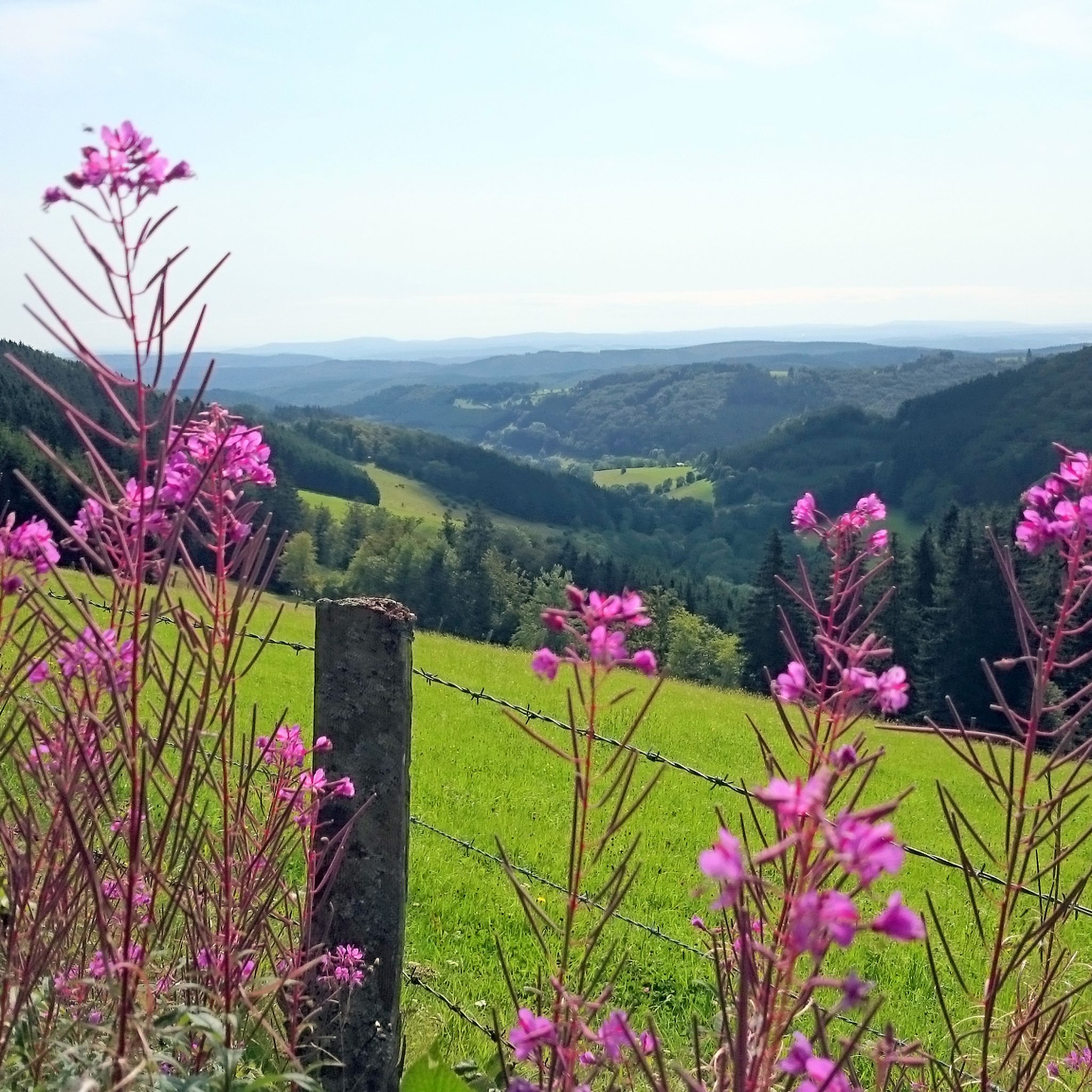
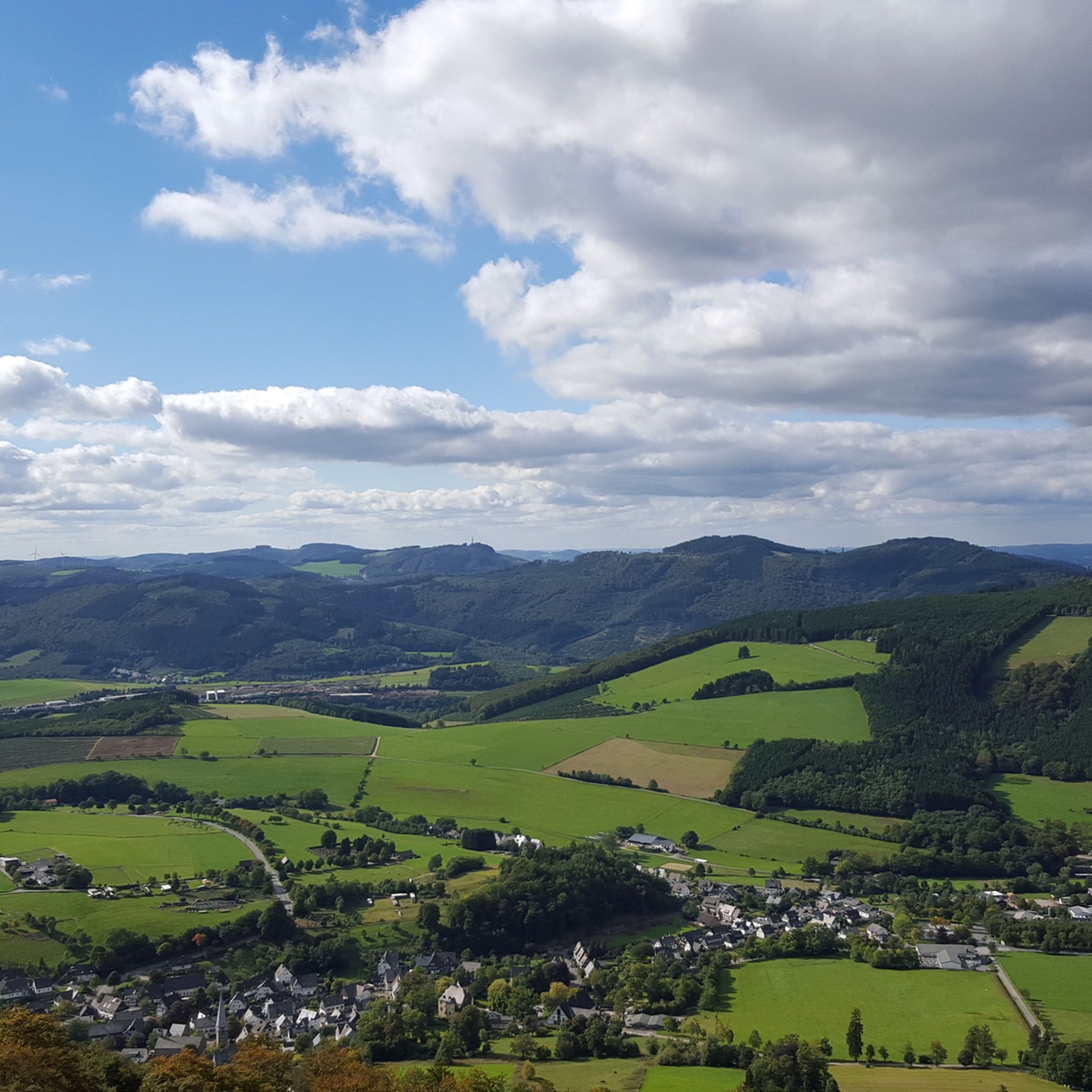
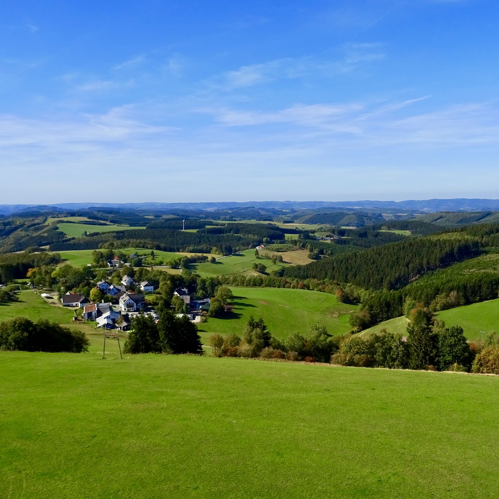
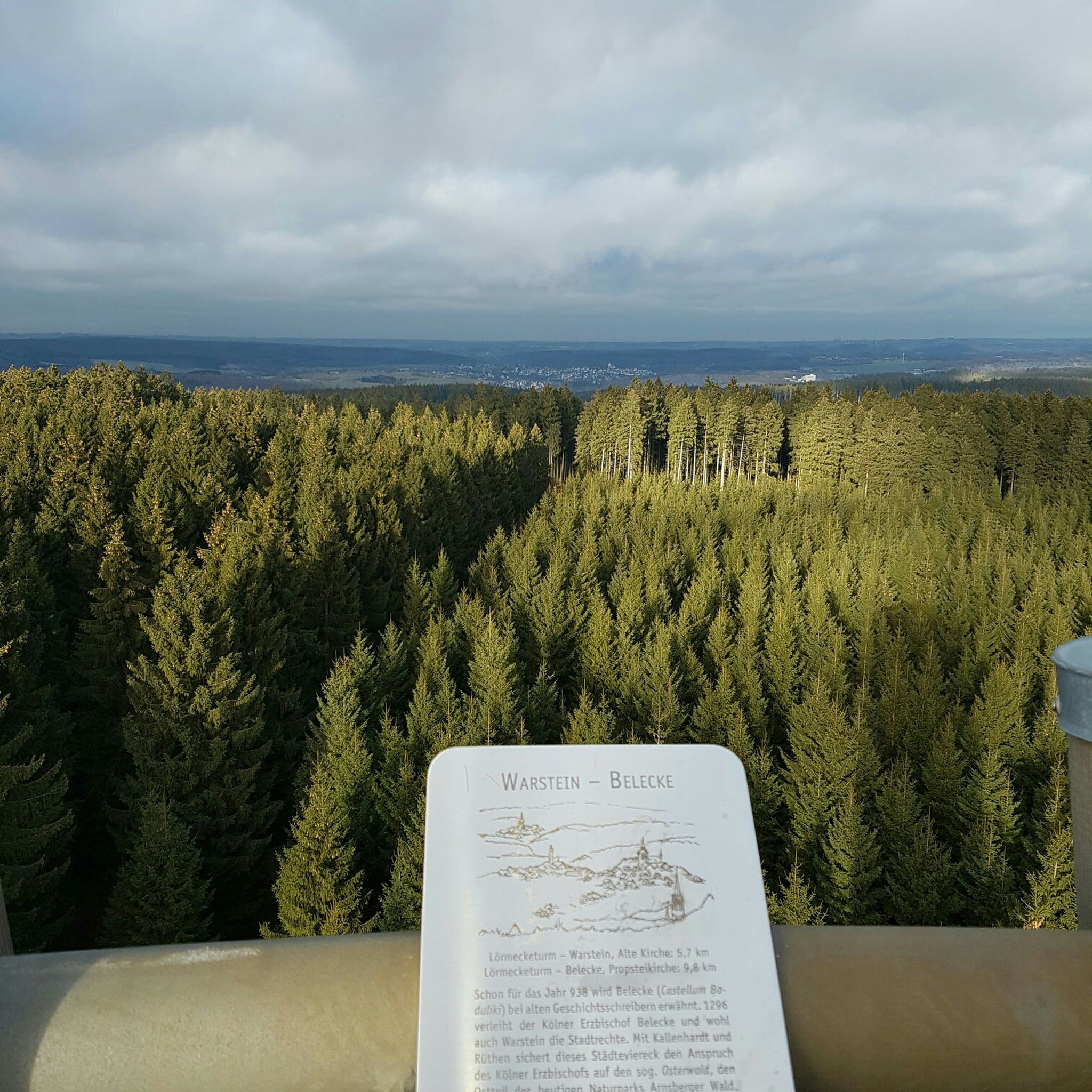
Other adventures in Hochsauerlandkreis


Tips from the Community

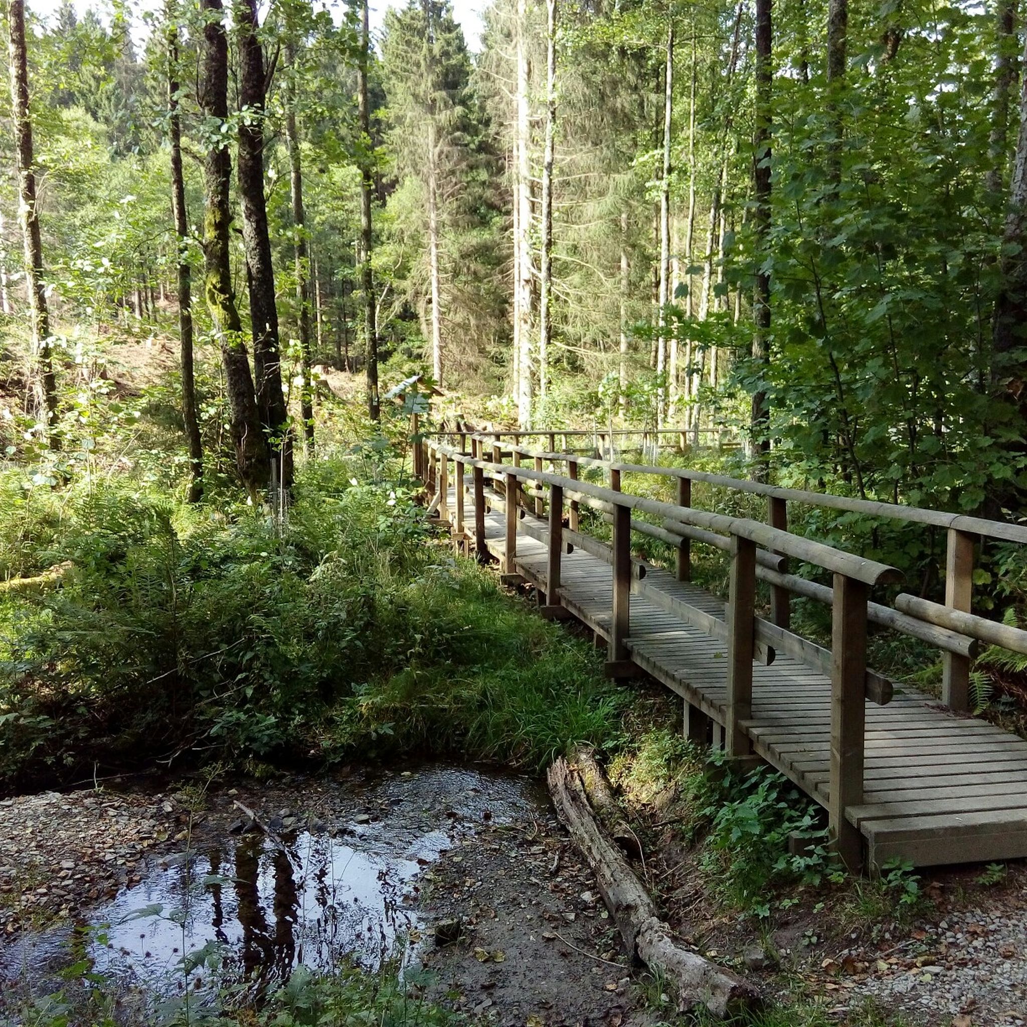
Beautiful forest path lined with boundary stones
0
0

Very nice forest path
0
0


2025 and still as beautiful as ever 👍🏻
0
0

The Sauerland has many small and large mountains.
0
0

Bruchhausen is located in the Medebachtal valley, approximately eight kilometers south of the town of Olsberg. The Medebachtal runs immediately east of the Ruhr valley. The village is situated at 450 m above NHN. The highest elevation in the Bruchhausen area is at the summit of the Langenberg at 843 m above NHN, which is also the highest point in the state of North Rhine-Westphalia. East of Bruchhausen are also the Bruchhauser Steine, on the 728-meter-high Istenberg. The landscape protection area Kultur- und Offenlandschaftskomplex Bruchhausen surrounds the village. Source: https://de.wikipedia.org/wiki/Bruchhausen_(Olsberg)
1
0

In the middle of the forest, Komoot shows the way
6
0

Frequently Asked Questions
How many hiking trails are available in Hochsauerlandkreis?
Hochsauerlandkreis offers a vast network of nearly 7,500 hiking trails. These routes cater to all levels, with over 3,800 easy, 3,100 moderate, and 460 difficult trails to explore across the region's diverse landscapes.
What kind of terrain can I expect on hikes in Hochsauerlandkreis?
The terrain in Hochsauerlandkreis is characterized by high mountains, extensive forests, and charming valleys. You'll encounter paths through dense beech forests, open high-altitude heaths like the Niedersfelder Hochheide, and trails leading to prominent peaks such as Langenberg and Kahler Asten. Many routes also feature scenic river valleys and dammed lakes.
Are there any circular walks in Hochsauerlandkreis?
Yes, Hochsauerlandkreis has many excellent circular walks. For example, the Langenberg circular route (Bruchhausen) offers a moderate 14.5 km loop. The region also features 'Bestwiger BestWege' and 'Golddörfer Routes' which are often designed as circular paths, showcasing local villages and landscapes.
What are some notable natural features or attractions to see while hiking?
Hikers can discover numerous natural attractions. Highlights include the impressive rock formations of the Feldstein Summit (Bruchhauser Steine), the panoramic views from Kahler Asten, and the unique Gorge and Bridge Trail on the Helle. The region also boasts significant forests, such as the beech forests around Schanze, and the scenic Hochheide Nature Reserve Neuer Hagen.
What do other hikers say about the trails in Hochsauerlandkreis?
The hiking trails in Hochsauerlandkreis are highly regarded by the komoot community, with an average rating of 4.6 stars from over 82,000 reviews. Hikers frequently praise the well-maintained paths, the diverse and picturesque landscapes, and the clear signage, making for an enjoyable and accessible outdoor experience.
Are there family-friendly hiking options in Hochsauerlandkreis?
Yes, there are many family-friendly options. The Panorama Trail Niedersfeld, for instance, is a 6-kilometer circular trail featuring meadows, forests, and streams, with a dedicated nature discovery trail for children. Many of the easy-rated routes are also suitable for families looking for less strenuous walks.
When is the best time of year to go hiking in Hochsauerlandkreis?
The temperate seasonal climate of Hochsauerlandkreis makes spring and autumn ideal for hiking. During these seasons, temperatures are mild, and the natural scenery, whether blooming or displaying vibrant fall colors, is particularly beautiful. Summer also offers pleasant conditions, while winter can provide opportunities for snowshoeing or winter walks on cleared paths.
Are there any themed hiking routes in the region?
Yes, Hochsauerlandkreis features several themed routes. The 'Golddörfer Routes' are popular, such as the Golddörfer Route from Westfeld to Kahler Asten or the Bödefeld Gold Village Route / Bödefelder Hollenpfad, which guide you through scenic villages. The Kyrill Path near Schanze also offers a unique experience, showcasing the long-term effects of a major storm on the forest.
Can I find trails that offer expansive views?
Absolutely. The region is known for its panoramic vistas. The Sorper panorama trail (Rothaarsteig trail) is aptly named for its expansive views, and the summit of Kahler Asten is a renowned viewpoint. Many routes, especially those traversing higher elevations, provide stunning outlooks over the 'land of a thousand mountains'.
Are there any caves or historical sites accessible via hiking trails?
Yes, the region has interesting underground attractions and historical sites. You can explore the Draken Caves near Obermarsberg or visit the Silberkuhle Mine near Bödefeld, which offers a glimpse into the area's mining history. These can often be combined with nearby hiking routes for a richer experience.
What are the highest points I can reach on a hike in Hochsauerlandkreis?
Hochsauerlandkreis is home to some of the highest peaks in the Rothaar mountain range. You can hike to Langenberg (845m) and the well-known Kahler Asten (846m). These summits offer not only challenging ascents but also rewarding panoramic views of the surrounding forested landscape.
Are there trails that pass through significant forest areas?
Yes, a large portion of Hochsauerlandkreis is covered by extensive forests. Trails like the Buchenwalds (beech forests) around Schanze offer immersive experiences within dense woodlands. The region is part of the Sauerland-Rothaargebirge Nature Park, ensuring many routes wind through protected and ancient forest landscapes.
Most popular routes in Hochsauerlandkreis
Most popular attractions in Hochsauerlandkreis

Get inspired with the komoot mobile app


Didn’t find what you were looking for?
Check out more Hikes throughout Hochsauerlandkreis below and find the perfect route in your destination.
Explore more
Browse the best Hikes in other regions.
