The best walks and hikes in Zschornaer Teichgebiet
4.5
(2380)
8,653
hikers
11
hikes
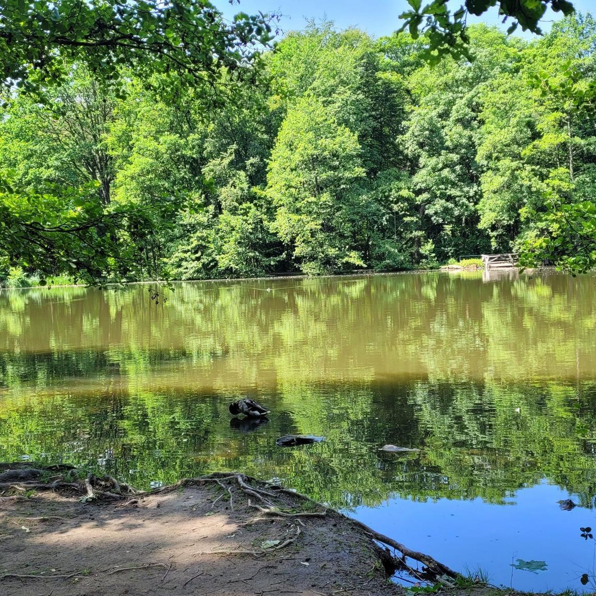
Hiking in Zschornaer Teichgebiet is characterized by an extensive pond landscape, designated as a nature reserve. The region features wetlands, reedbeds, and a mix of coniferous and deciduous forests, alongside green spaces and streams. The terrain is generally open, offering expansive views across the water bodies and surrounding natural areas. This diverse environment provides crucial habitats for a variety of wildlife, particularly numerous bird species.
Best hiking trails in Zschornaer Teichgebiet
- The most popular hiking route is View of the…
Last updated: August 20, 2026
4.4
(56)
216
hikers
Easy hike. Great for any fitness level. Easily-accessible paths. Suitable for all skill levels.
4.8
(29)
94
hikers
Moderate hike. Good fitness required. Easily-accessible paths. Suitable for all skill levels.

Sign up for free
3.8
(4)
25
hikers
Easy hike. Great for any fitness level. Easily-accessible paths. Suitable for all skill levels.
5.0
(2)
23
hikers
Easy hike. Great for any fitness level. Easily-accessible paths. Suitable for all skill levels.
5.0
(3)
12
hikers
4.13km
01:04
20m
20m
Easy hike. Great for any fitness level. Easily-accessible paths. Suitable for all skill levels.
Get access to more routes and recommendations from other explorers.
Sign up for free
Already have an account?
Our route recommendations are based on thousands of hikes, rides, and runs completed by other people on komoot.
Start today with a free account
Your next adventure awaits.
Login or Signup
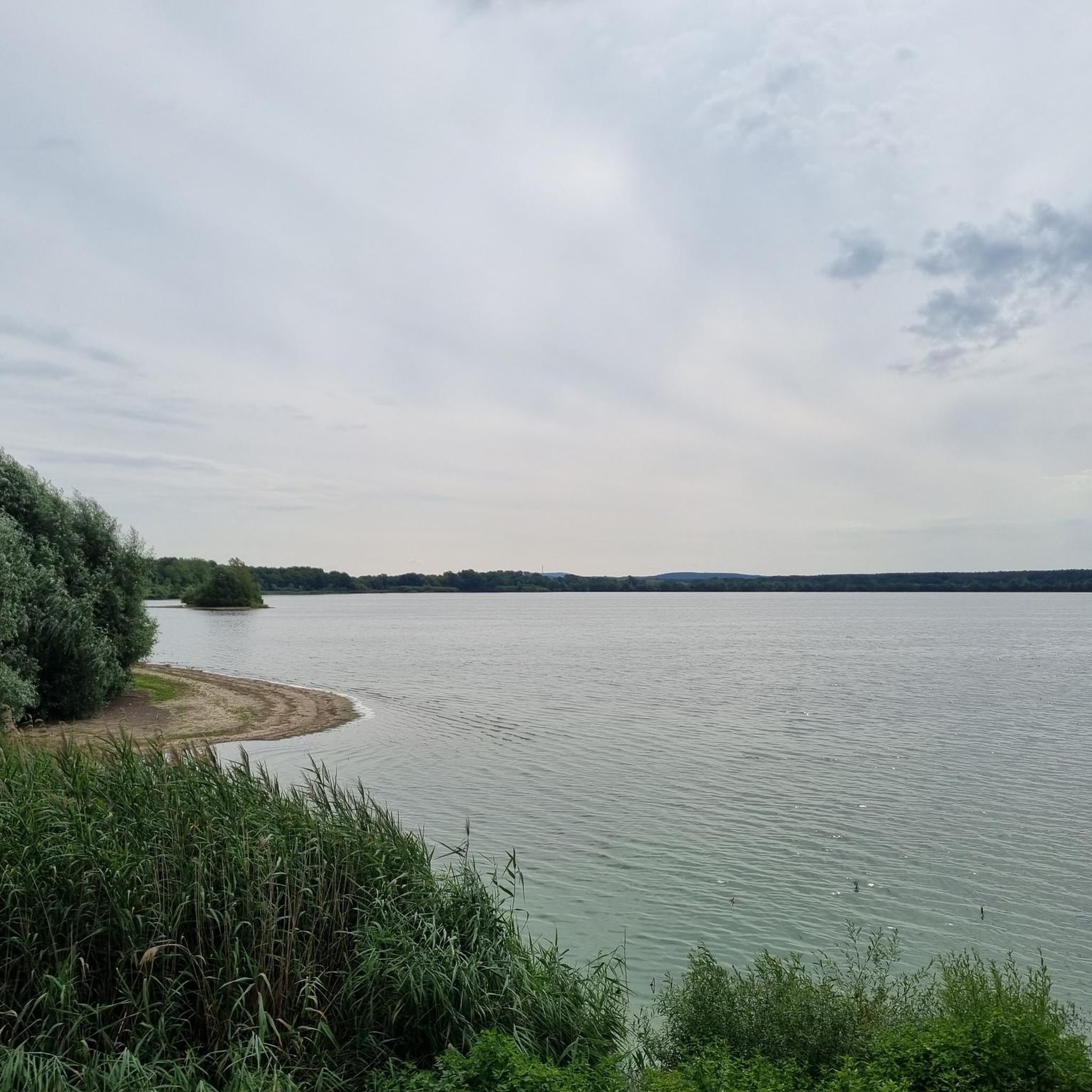
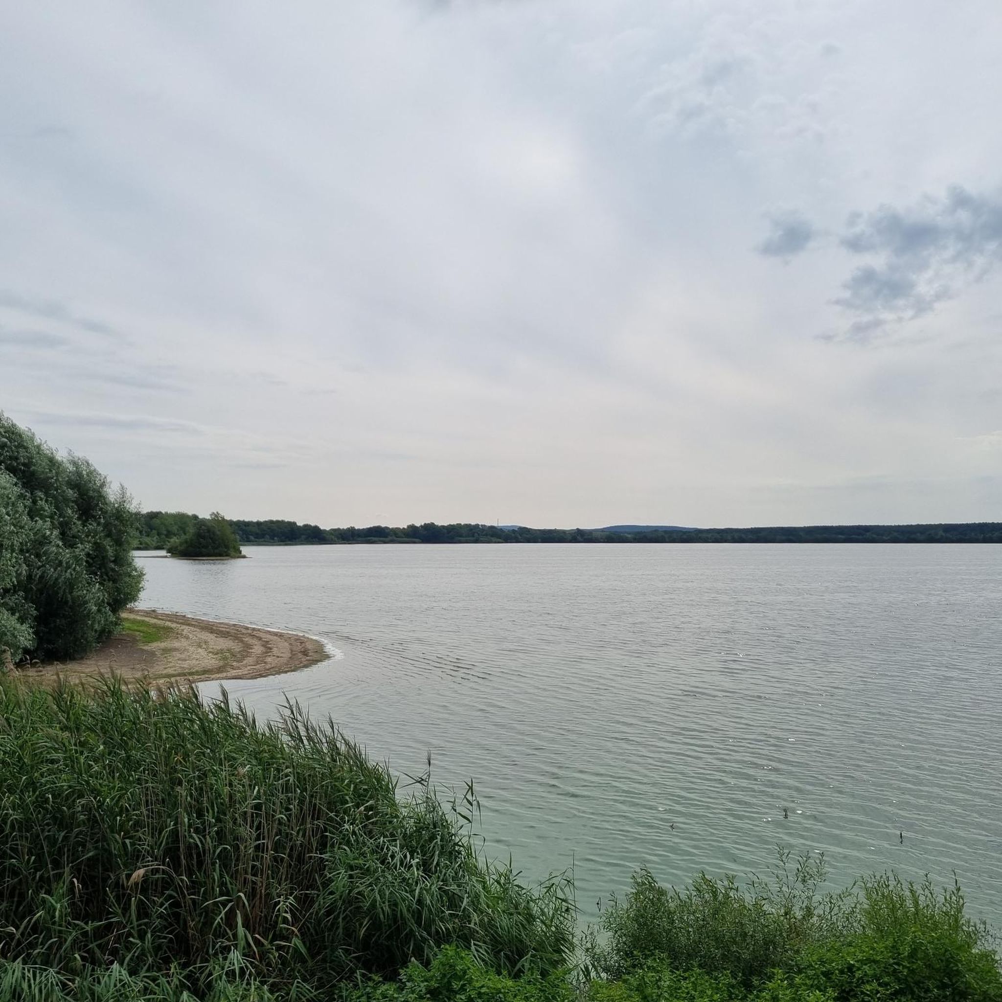
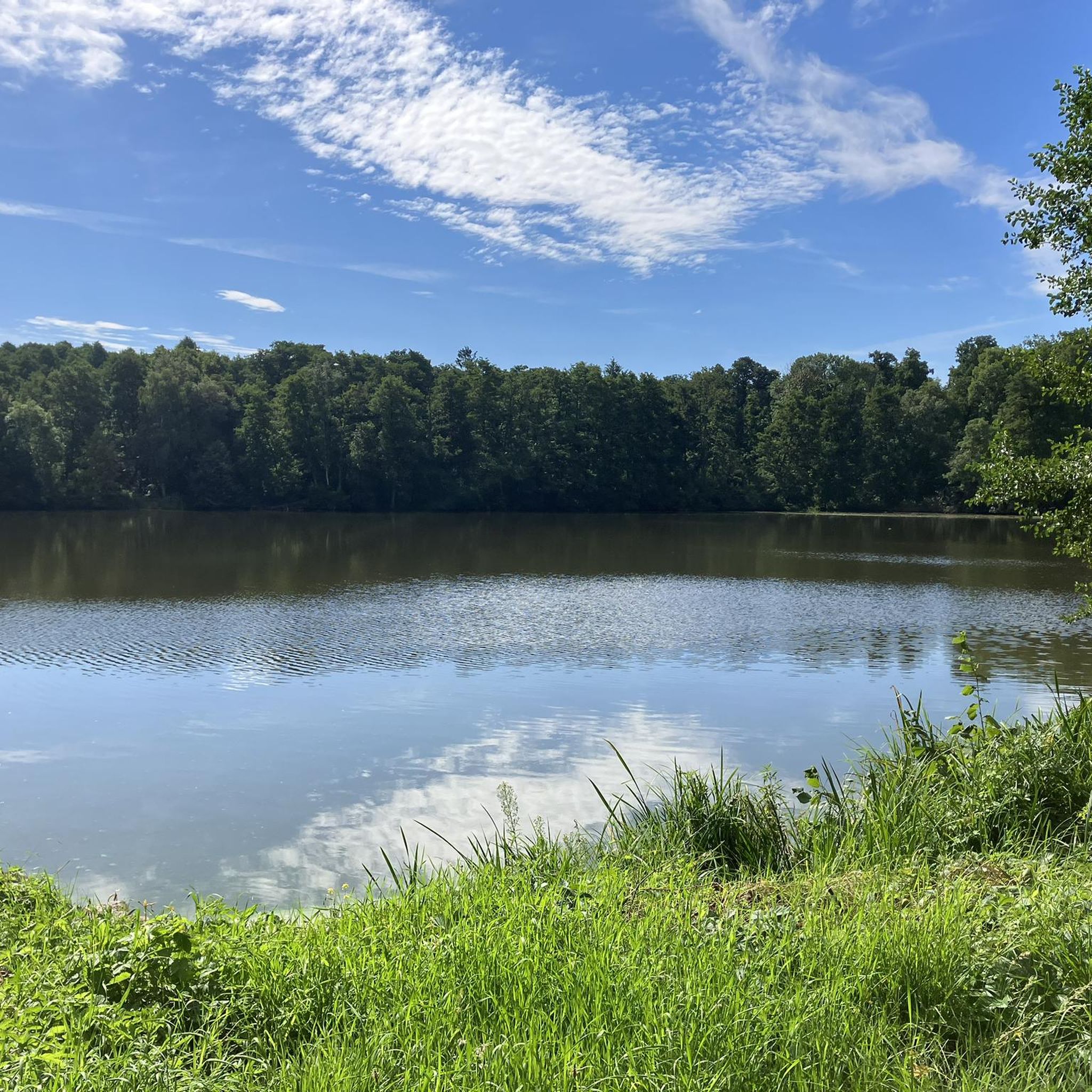
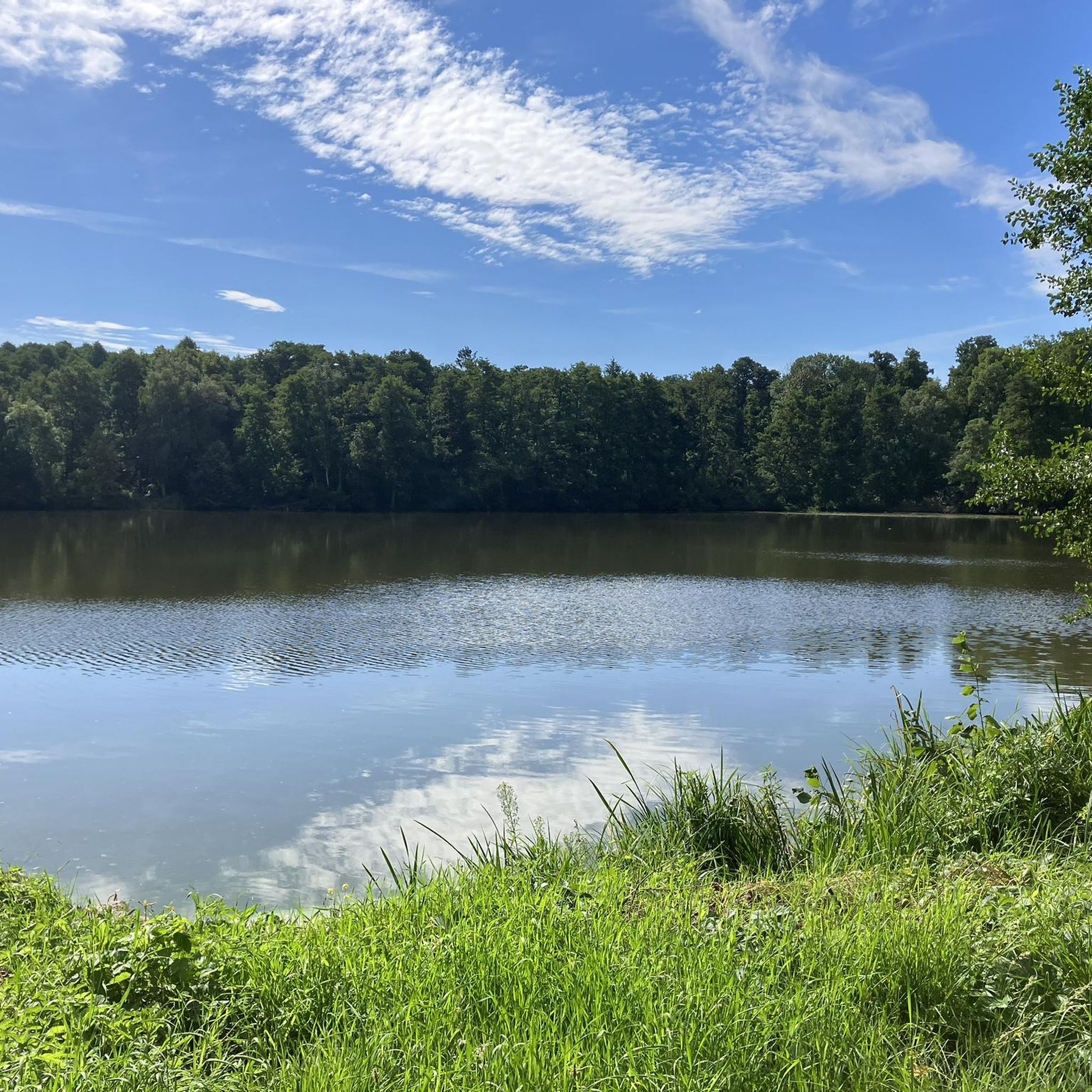
Tips from the Community

quiet road, nice to ride
0
0

Please note the opening hours: https://brettmuehlenschaenke.de
0
0
Natural path - the beaver tracks are impossible to miss.
0
0
Large paid parking lot. Fee update: 1 hour: €1 Day ticket: €5 There's nothing in between...
0
0

Along the way you can often see trees that have been eaten and the occasional beaver migration.
1
0

A good drop in a beautiful spot, easily accessible by bike...
1
1

From this jetty you can see the bathing area with sandy beach on the other side of the Brettmühlenteich.
1
0

Looks very deserted and fenced off, which is a shame... Otherwise you haven't missed anything...
0
0
Frequently Asked Questions
How many hiking trails are available in Zschornaer Teichgebiet?
The Zschornaer Teichgebiet offers a selection of 11 distinct hiking routes. These trails cater to various preferences, with 5 easy routes, 5 moderate routes, and 1 more challenging option.
What kind of terrain can I expect on hikes in Zschornaer Teichgebiet?
Hikes in the Zschornaer Teichgebiet primarily feature an extensive pond landscape with well-maintained, generally easy-to-navigate paths. You'll encounter wetlands, reedbeds, and a mix of coniferous and deciduous forests. The landscape is often open, providing expansive views across the water bodies and natural areas.
Are there family-friendly hiking options in Zschornaer Teichgebiet?
Yes, the Zschornaer Teichgebiet is well-suited for family outings. Many trails are easy and suitable for all fitness levels, often less than two hours long with minimal elevation gain. An excellent choice for families is the Zschorna Castle loop, which is 2.7 km long and takes about 42 minutes.
Can I bring my dog on hikes in Zschornaer Teichgebiet?
Yes, the Zschornaer Teichgebiet is generally dog-friendly. The natural environment with its open spaces and forest paths provides a great setting for walks with your dog. Please ensure your dog is kept on a leash, especially in nature reserve areas, to protect the abundant wildlife.
Are there circular hiking routes available in the area?
Absolutely. The Zschornaer Teichgebiet features several popular circular routes. For example, the View of the Zschorna Pond Area loop is a 6.2 km easy trail offering panoramic views. Another option is the moderate Niederteich Lake – Mittelteich Würschnitz loop, which is 12.7 km long and navigates through the heart of the pond area.
What natural features or landmarks can I see while hiking?
The Zschornaer Teichgebiet is rich in natural beauty and historical landmarks. You can explore the Zschornaer Ponds Nature Reserve, observe the expansive Zschorna Pond Area, or visit the historic Zschorna Castle. The area also features the Breiter Pond and Brettmühle Pond, offering diverse aquatic environments.
Is Zschornaer Teichgebiet good for birdwatching or wildlife observation?
Yes, the Zschornaer Teichgebiet is an exceptional destination for birdwatching and wildlife observation. It's a designated nature reserve and a crucial habitat for 270 recorded bird species, with 120 breeding species. You might spot common cranes, various wader species during migration, and Nordic geese in winter. Some routes also highlight beaver habitats, offering opportunities to observe these fascinating creatures.
When is the best time of year to go hiking in Zschornaer Teichgebiet?
The Zschornaer Teichgebiet offers unique experiences throughout the year. Spring and autumn are particularly beautiful for birdwatching, with common cranes visible and numerous wader species during autumn migration. Summer is ideal for enjoying the open landscapes and potentially swimming at Naturcamping Brettmühlenteich. Even in winter, the area serves as a crucial resting place for Nordic geese, making it interesting for winter walks.
Where can I find parking for hiking trails in Zschornaer Teichgebiet?
Parking is generally available at key access points around the Zschornaer Teichgebiet. For instance, Naturcamping Brettmühlenteich serves as an excellent starting point for various hikes and likely offers parking facilities. Additionally, areas near popular trailheads or attractions like Schloss Zschorna may have designated parking.
What do other hikers enjoy the most about hiking in Zschornaer Teichgebiet?
The Zschornaer Teichgebiet is highly rated by the komoot community, with an average score of 4.5 stars from over 1100 reviews. Hikers often praise the serene pond landscapes, the rich wetlands, and the accessible forest paths. The diverse environment and opportunities for wildlife observation, especially birdwatching, are frequently highlighted as key attractions.
Are there any easy hikes suitable for beginners?
Yes, the Zschornaer Teichgebiet has several easy hikes perfect for beginners or those looking for a leisurely stroll. The Naturcamping Brettmühlenteich – Lakeside Beach loop is an easy 4.1 km route, and the Lakeside Beach – Brettmühlenteich Schänke loop is another easy 6.8 km option, both offering pleasant walks around the water.
Most popular routes in Zschornaer Teichgebiet
Most popular attractions in Zschornaer Teichgebiet

Get inspired with the komoot mobile app


Explore more
Browse the best Hikes in other regions.
