The best running trails in Zschornaer Teichgebiet
4.3
(130)
1,017
runners
79
runs
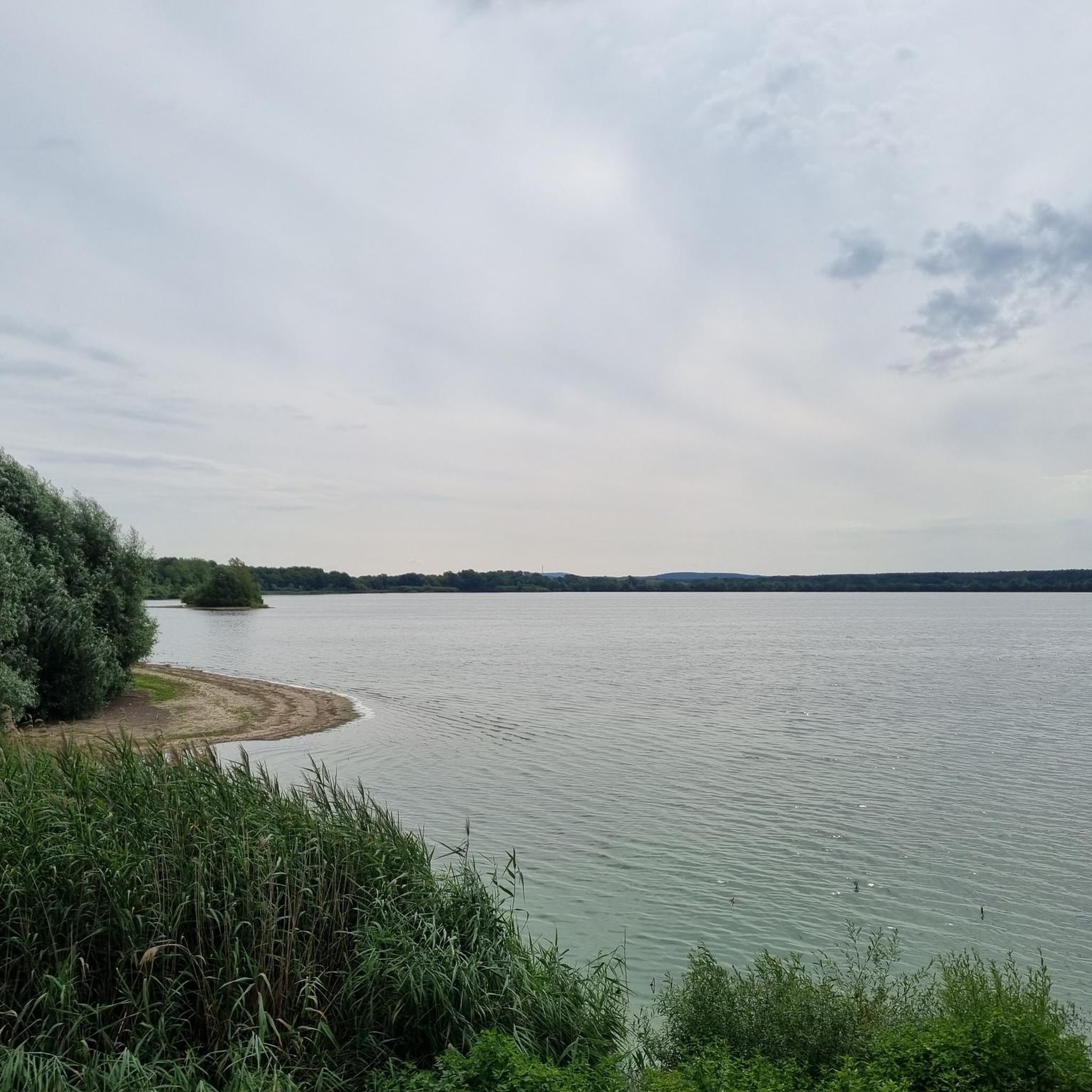
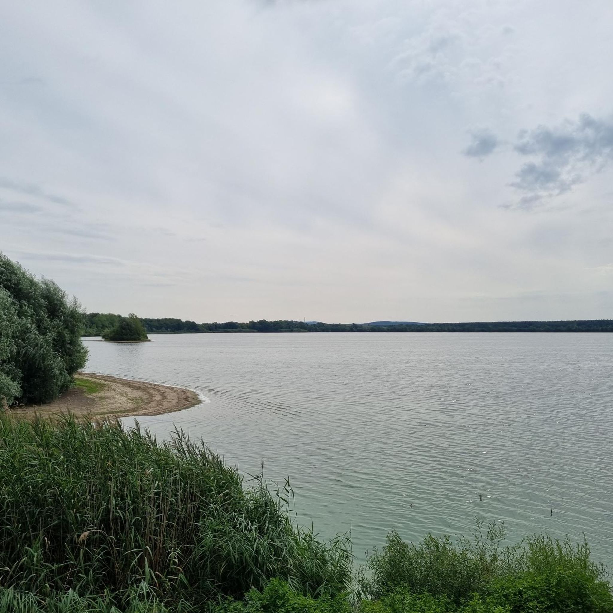
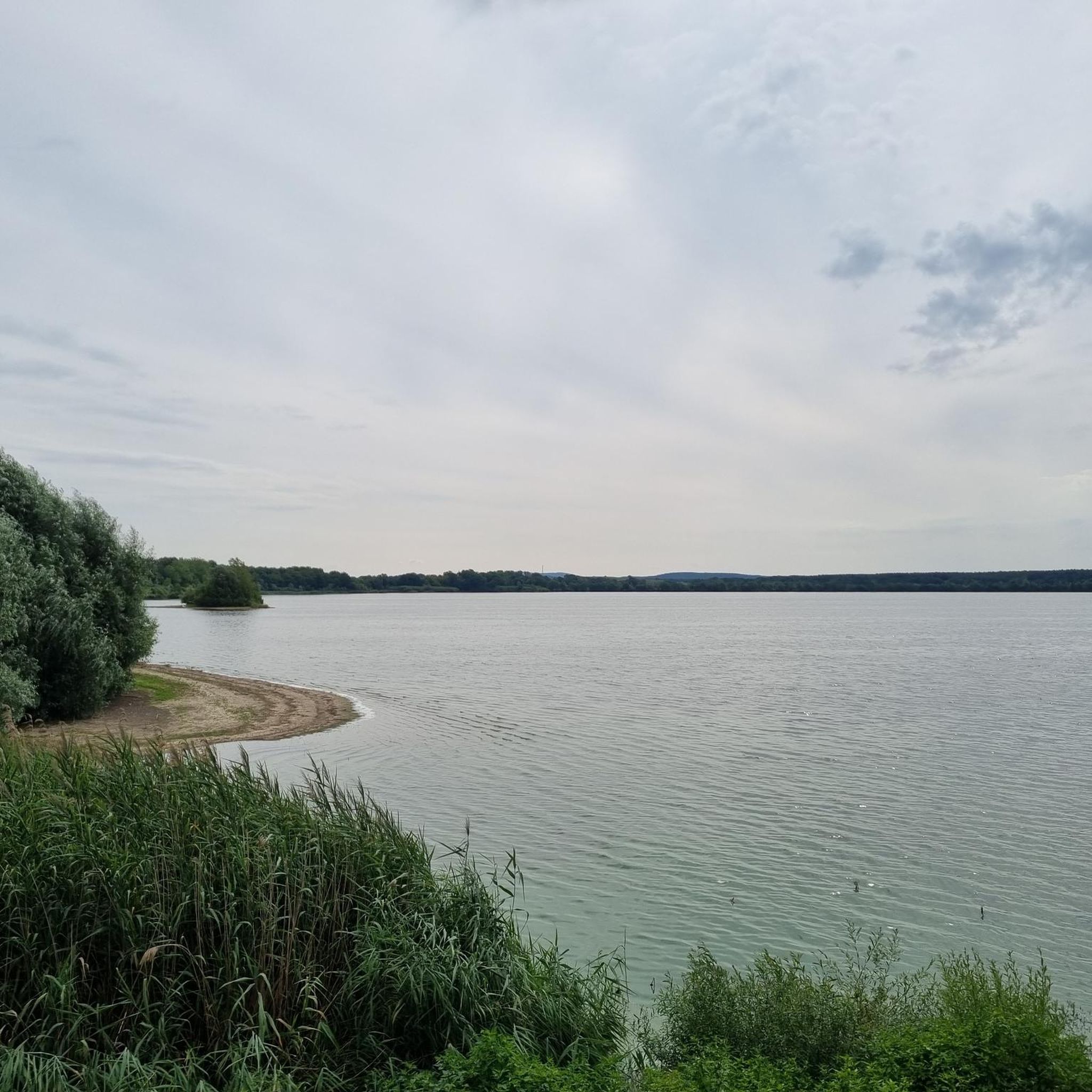
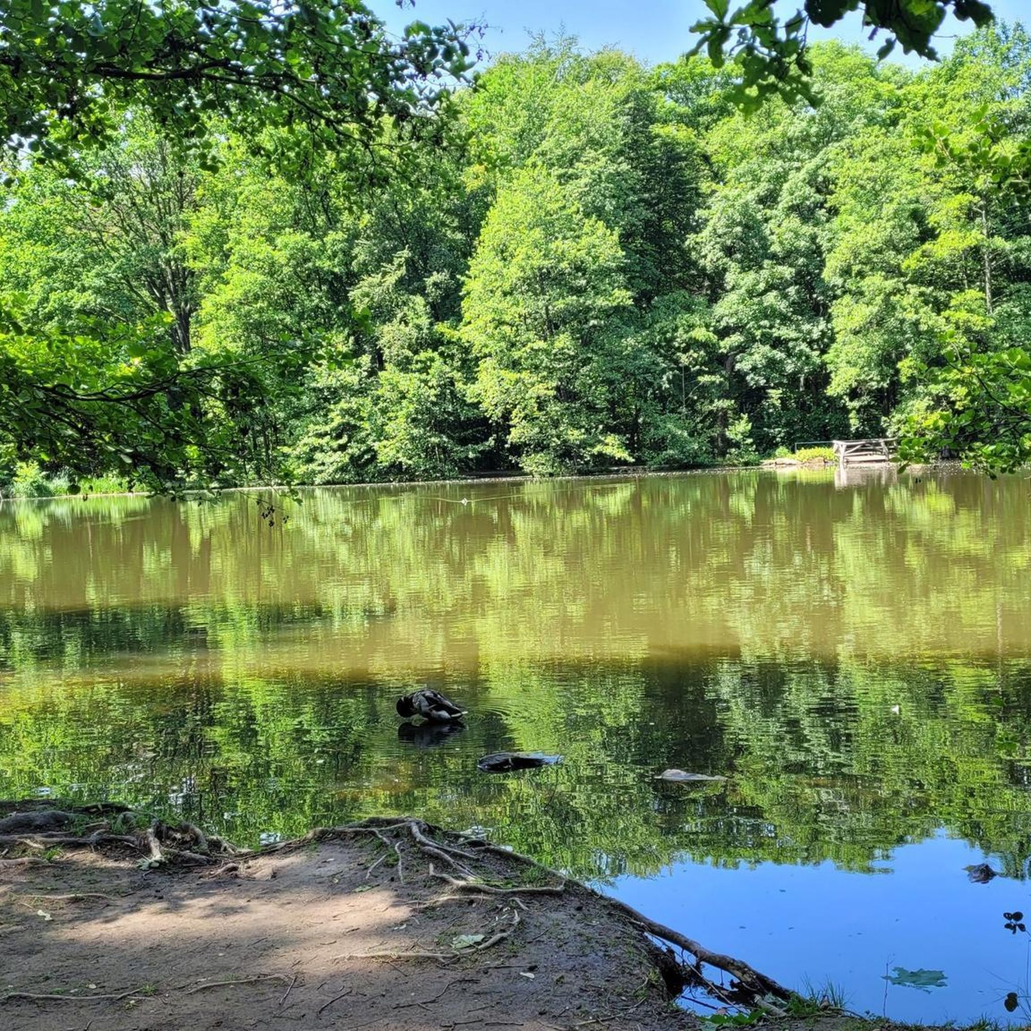
Jogging routes in Zschornaer Teichgebiet traverse a diverse landscape characterized by an expansive pond system, including Großteich Zschorna and Breiter Teich, surrounded by wetlands and reedbeds. The area features well-maintained trails, often running directly through the pond landscape on paved sections, complemented by surrounding forests and fields. This natural setting provides varied terrain suitable for running. The landscape is generally open, offering broad views across the ponds.
Best jogging routes in Zschornaer Teichgebiet
- The most popular jogging route is View…
Last updated: September 1, 2026
3.8
(4)
51
runners
Moderate run. Good fitness required. Mostly paved surfaces. Suitable for all skill levels.
4.0
(3)
7
runners
9.12km
00:58
50m
50m
Moderate run. Good fitness required. Mostly paved surfaces. Suitable for all skill levels.

Sign up for free
6
runners
Moderate run. Good fitness required. Mostly paved surfaces. Suitable for all skill levels.
5.0
(2)
12
runners
5.94km
00:38
30m
30m
Moderate run. Good fitness required. Mostly paved surfaces. Suitable for all skill levels.
10
runners
Hard run. Very good fitness required. Mostly paved surfaces. Suitable for all skill levels.
Get access to more routes and recommendations from other explorers.
Sign up for free
Already have an account?
Our route recommendations are based on thousands of hikes, rides, and runs completed by other people on komoot.
Start today with a free account
Your next adventure awaits.
Login or Signup
Tips from the Community

The Brettmühlenteich and the Zschona pond areas are always worth a visit.
0
0

At the bosom of nature
0
0

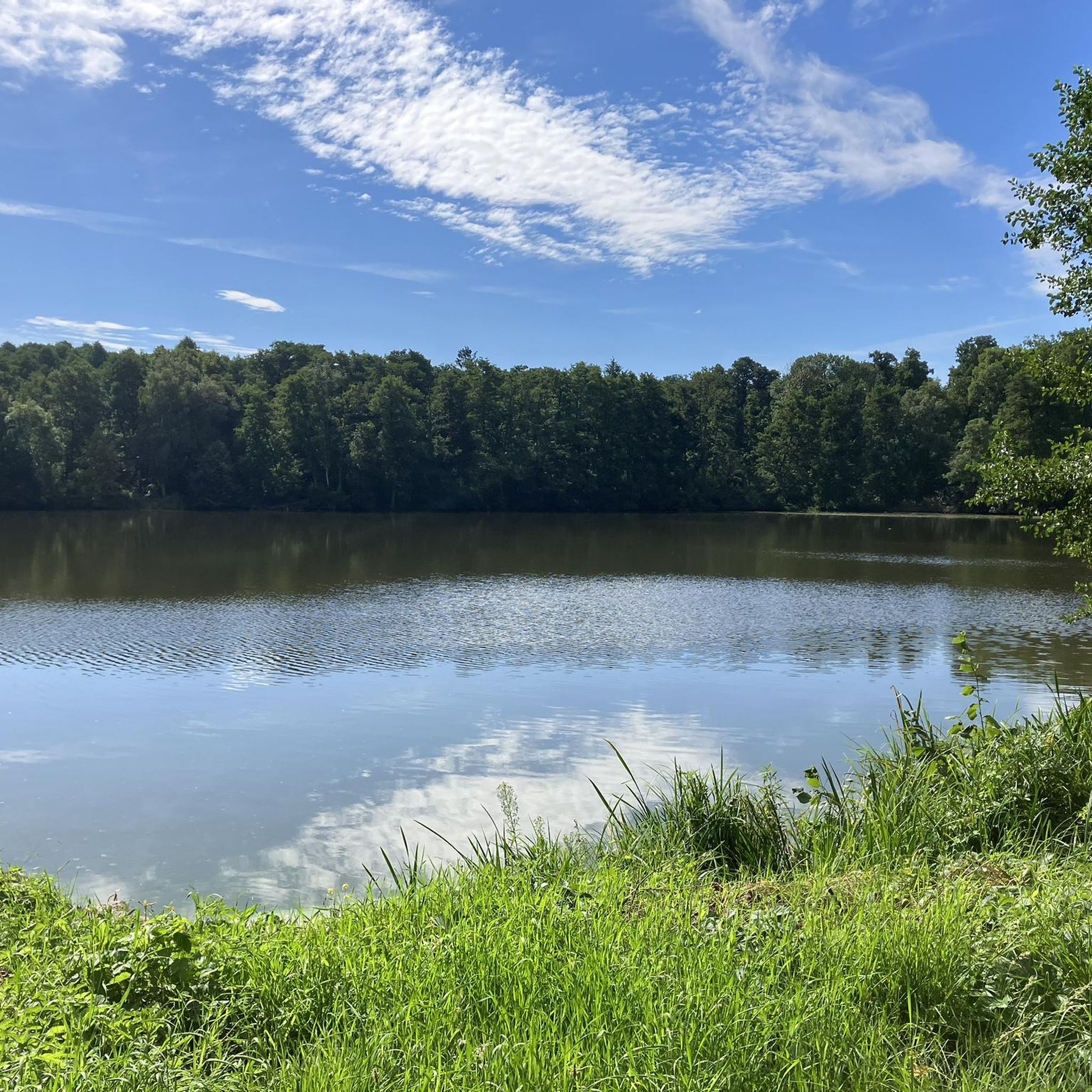
"The Brettmühlenteich (also Brettmühlenteich Dobra, Brettmühlenteich Zschorna or Brettmühlenteich Tauscha) is a forest pond southeast of Zschorna in Saxony. A 4.40 m high and 380 m long dam dams the 14.5 hectare Brettmühlenteich, fed by the Grundbach and Springbach streams, in the catchment area of the Radeburg II reservoir. The local recreation center "Brettmühlenteich" is located on the banks of this forest pond. The fenced complex with its campsite and a very popular sandy beach, boat rental and dining facilities were managed by the Thiendorf municipality until 2016 and have been in private hands since then." - https://de.wikipedia.org/wiki/Brettm%C3% BChlenteich_Dobra
0
0

A destination for me to plan a tour there. And one of the few destinations in the north of Dresden. I always find it great to cycle through the pond.
3
0

the new asphalt rolls as if alone...
1
0


Small connecting road between the two places. Little traffic, absolutely quiet, almost idyllic, the bike glides over the smooth asphalt.
2
0
Frequently Asked Questions
How many running routes are available in Zschornaer Teichgebiet?
The Zschornaer Teichgebiet offers a wide selection of over 80 running routes. These trails cater to various fitness levels, ranging from easy loops to more challenging runs through the diverse landscape.
What kind of terrain can I expect on the jogging trails in Zschornaer Teichgebiet?
You'll find a varied landscape characterized by picturesque pond systems, including Großteich Zschorna and Breiter Teich. Many paths run directly through the pond landscape on freshly paved sections, while others lead through surrounding forests and fields. This mix provides a dynamic and scenic environment for your run.
Are there easy running routes suitable for beginners or a relaxed jog?
Yes, there are several easy running routes perfect for beginners or those looking for a relaxed pace. For instance, the Running loop from Zschorna is an easy 4.2 km trail with minimal elevation, taking about 26 minutes to complete.
What do other runners enjoy most about the trails in Zschornaer Teichgebiet?
The running routes in Zschornaer Teichgebiet are highly rated by the komoot community, with an average score of 4.2 stars from over 100 reviews. Runners frequently praise the serene waterscapes, the extensive pond landscapes, and the well-maintained trails that offer a tranquil and scenic environment for their runs.
Are there any circular running routes in the area?
Yes, the Zschornaer Teichgebiet is known for its circular trails. A notable option is the View of the Zschornaer Pond Area – Zschorna Pond Area loop from Zschornaer Teichgebiet, a moderate 7.7 km circuit offering expansive views of the pond area. There's also a general circular trail around the nature reserve itself, approximately 6 km long and described as easy to walk.
What natural features or landmarks can I see along the running routes?
While running, you can enjoy the expansive pond landscape, wetlands, and reedbeds. Keep an eye out for diverse birdlife, as the area is a significant birdwatching destination. You might also pass by cultural landmarks such as Zschorna Castle, a historic Renaissance building, or the Zschornaer Ponds Nature Reserve itself.
Is the Zschornaer Teichgebiet suitable for family runs?
Absolutely. The well-maintained and predominantly flat paths, especially around the ponds, make many routes suitable for families. The easy circular trails provide a pleasant experience for all ages, allowing everyone to enjoy the natural beauty and observe wildlife.
Can I bring my dog on the running routes in Zschornaer Teichgebiet?
Many trails in natural areas like Zschornaer Teichgebiet are generally dog-friendly, provided dogs are kept on a leash to protect wildlife and ensure the safety of other visitors. It's always best to check local signage for specific regulations within the nature reserve.
Are there any viewpoints or scenic spots along the trails?
Yes, the pond landscape itself offers numerous scenic viewpoints. Routes like the View of the Zschornaer Pond Area – Zschorna Pond Area loop from Zschornaer Teichgebiet are specifically designed to showcase expansive views of the water bodies and surrounding nature. You'll find plenty of opportunities to appreciate the tranquil environment.
Where can I park when visiting the Zschornaer Teichgebiet for a run?
While specific parking areas for individual routes aren't detailed, the Recreational Center Brettmühlenteich is a known starting point for tours and likely offers parking facilities. Generally, areas around popular access points to nature reserves often have designated parking for visitors.
What is the best time of year to go running in Zschornaer Teichgebiet?
The Zschornaer Teichgebiet is beautiful year-round. Spring and autumn offer pleasant temperatures and vibrant scenery, with autumn migration being a highlight for birdwatching. Summer is great for enjoying the open water views, while winter provides a unique, tranquil experience, especially for observing Nordic geese and other waterfowl.
Are there any longer running routes for more experienced runners?
Yes, for those seeking a longer challenge, routes like the Mühlteich loop from Zschorna offer a moderate 11.5 km run. There are a total of 7 difficult and 69 moderate routes available, providing ample options for experienced runners.
Most popular routes in Zschornaer Teichgebiet
Most popular attractions in Zschornaer Teichgebiet

Get inspired with the komoot mobile app


Explore more
Browse the best Running Trails & Routes in other regions.
