The best cycling routes in Naturpark Fränkische Schweiz - Frankenjura
4.5
(16383)
78,206
riders
3,381
rides
Touring cycling in Naturpark Fränkische Schweiz - Frankenjura offers diverse landscapes across its 2,300 square kilometers in northern Bavaria. The region is characterized by an idyllic highland scenery, featuring chalk cliffs, deep river valleys, and extensive forests. A dramatic karst landscape with dolomite crags and rock spires is present, alongside main rivers like the Wiesent, Pegnitz, and Regnitz. This varied terrain provides a comprehensive network of cycling routes suitable for different skill levels.
Best touring cycling routes in Naturpark Fränkische…
Last updated: August 31, 2026
4.7
(106)
414
riders
45.1km
03:24
520m
520m
Hard bike ride. Very good fitness required. Mostly paved surfaces. Suitable for all skill levels.
4.8
(66)
323
riders
26.2km
01:59
150m
190m
Easy bike ride. Great for any fitness level. Mostly paved surfaces. Suitable for all skill levels.

Sign up for free
4.5
(59)
192
riders
28.5km
01:52
310m
310m
Moderate bike ride. Good fitness required. Mostly paved surfaces. Suitable for all skill levels.
4.7
(544)
2,656
riders
51.2km
02:57
90m
90m
Moderate bike ride. Good fitness required. Mostly paved surfaces. Suitable for all skill levels.
4.5
(362)
1,438
riders
124km
07:27
740m
740m
Hard bike ride. Very good fitness required. Mostly paved surfaces. Suitable for all skill levels.
Get access to more routes and recommendations from other explorers.
Sign up for free
Already have an account?
Our route recommendations are based on thousands of hikes, rides, and runs completed by other people on komoot.
Start today with a free account
Your next adventure awaits.
Login or Signup
Popular around Naturpark Fränkische Schweiz - Frankenjura
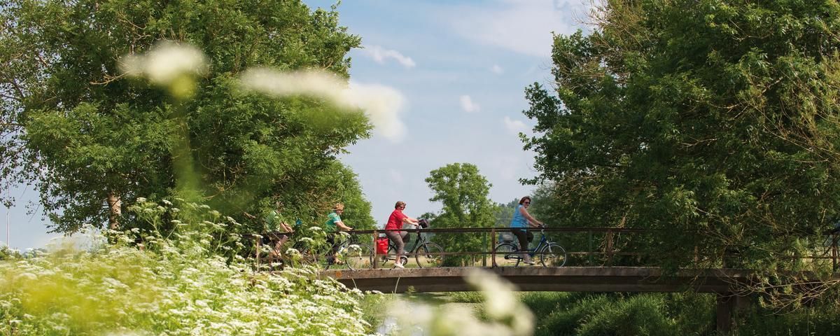
The most beautiful long-distance cycle paths in Franconia
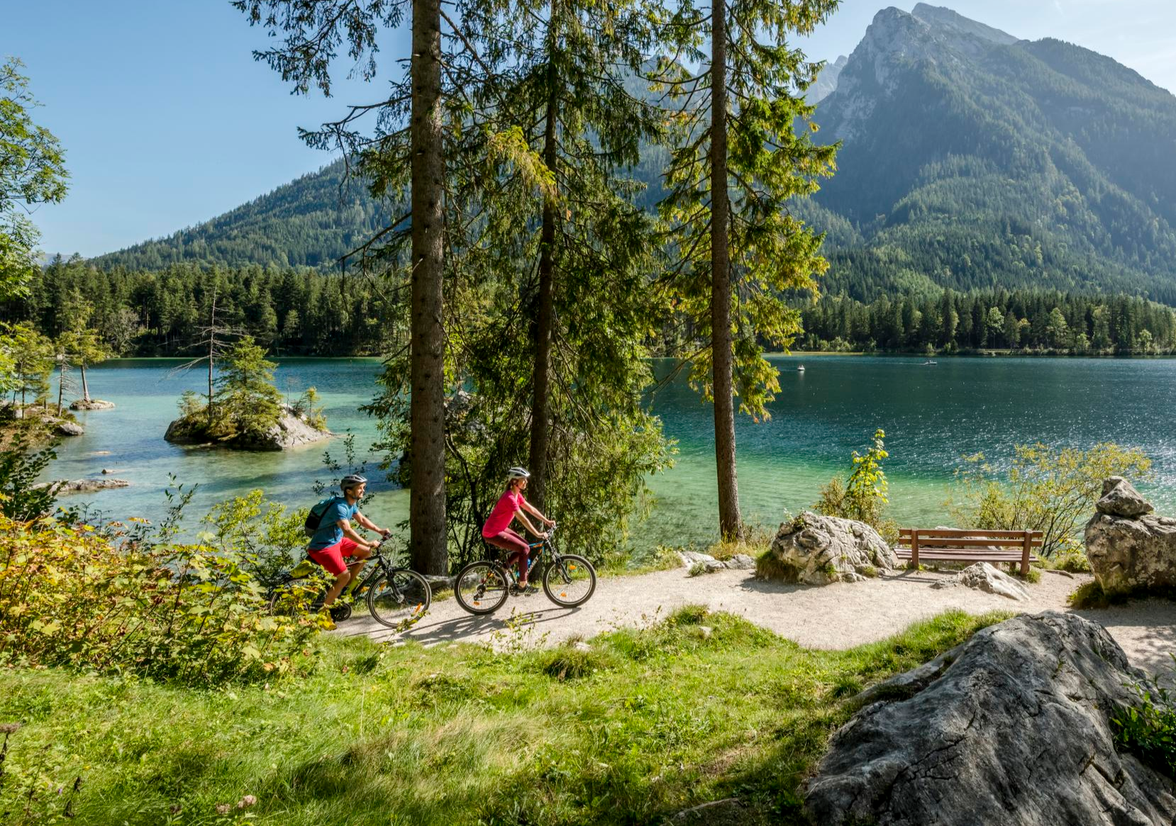
Discover Germany's diversity on enchanting cycling routes
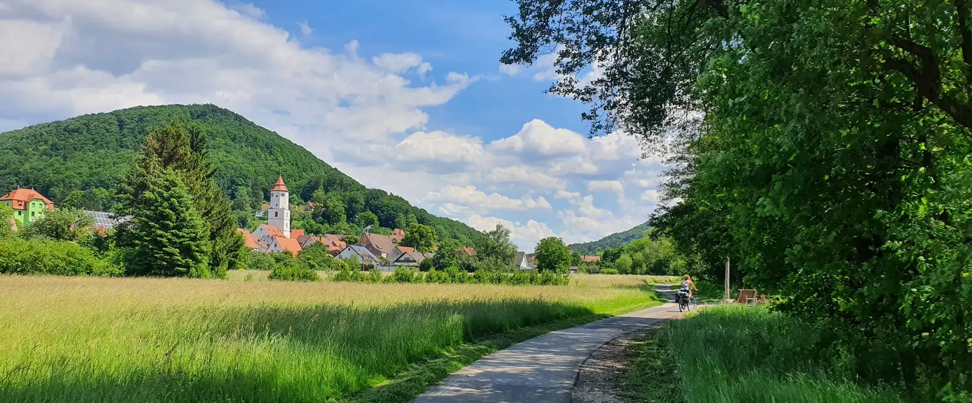
Cycling through the Nuremberg metropolitan region – nature & enjoyment
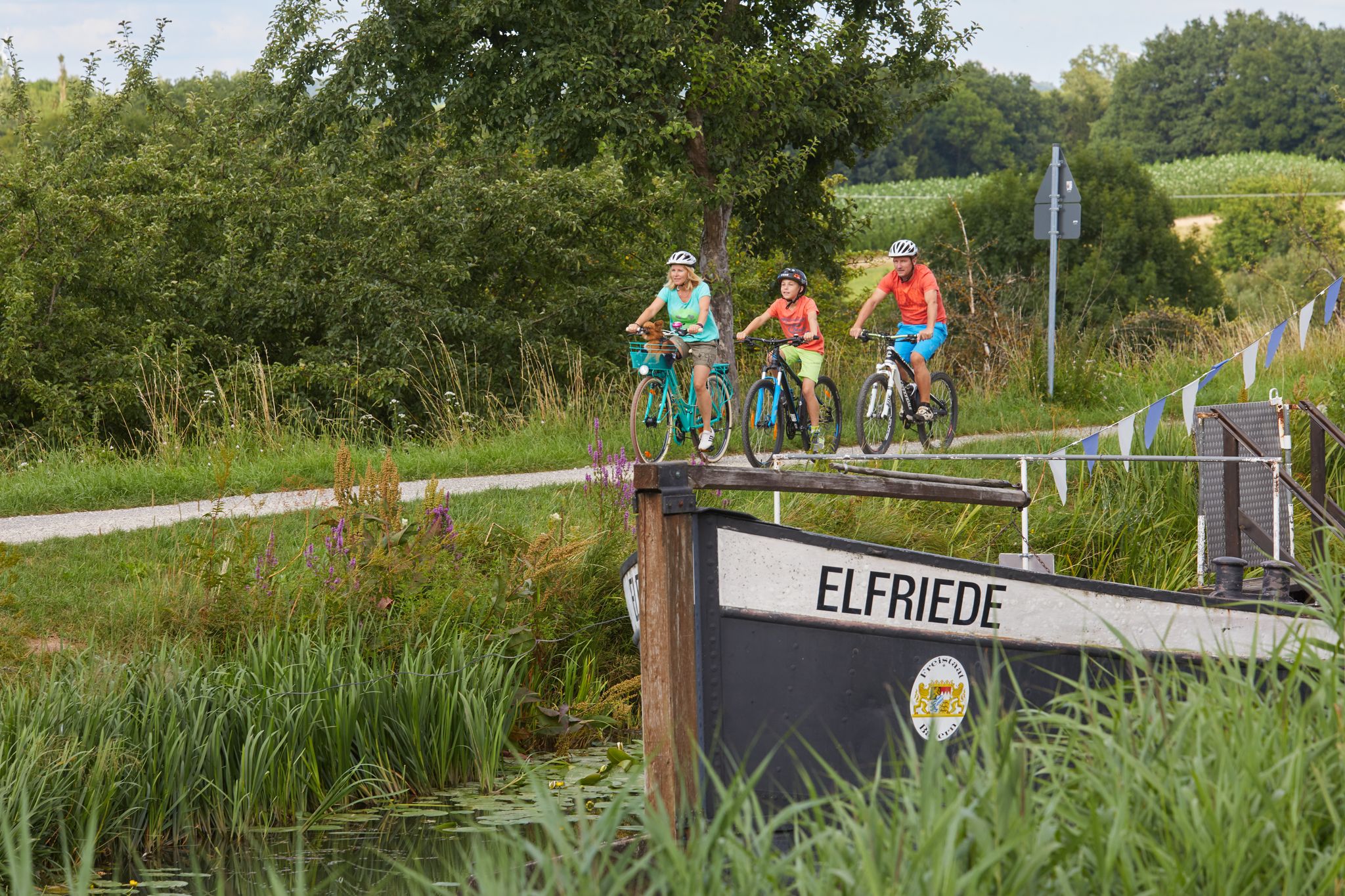
Varied family cycling routes in Nürnberger Land
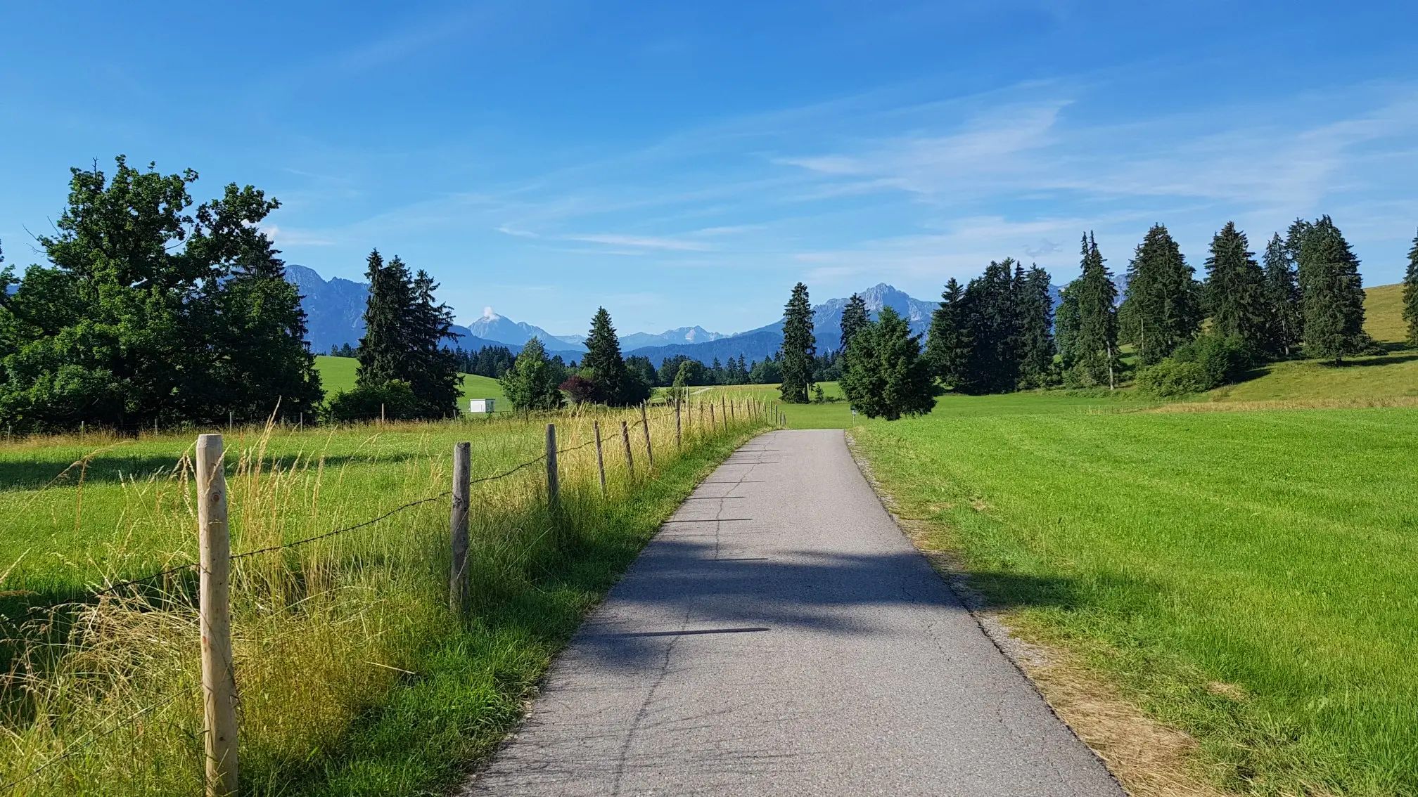
Transbavaria – north to south across Bavaria
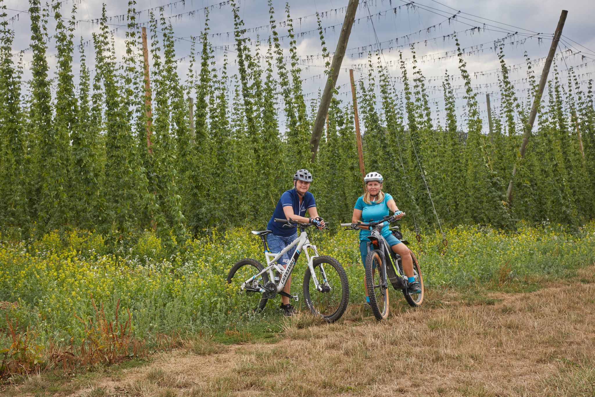
Cycling to the Hop Weeks in the Nuremberg Region
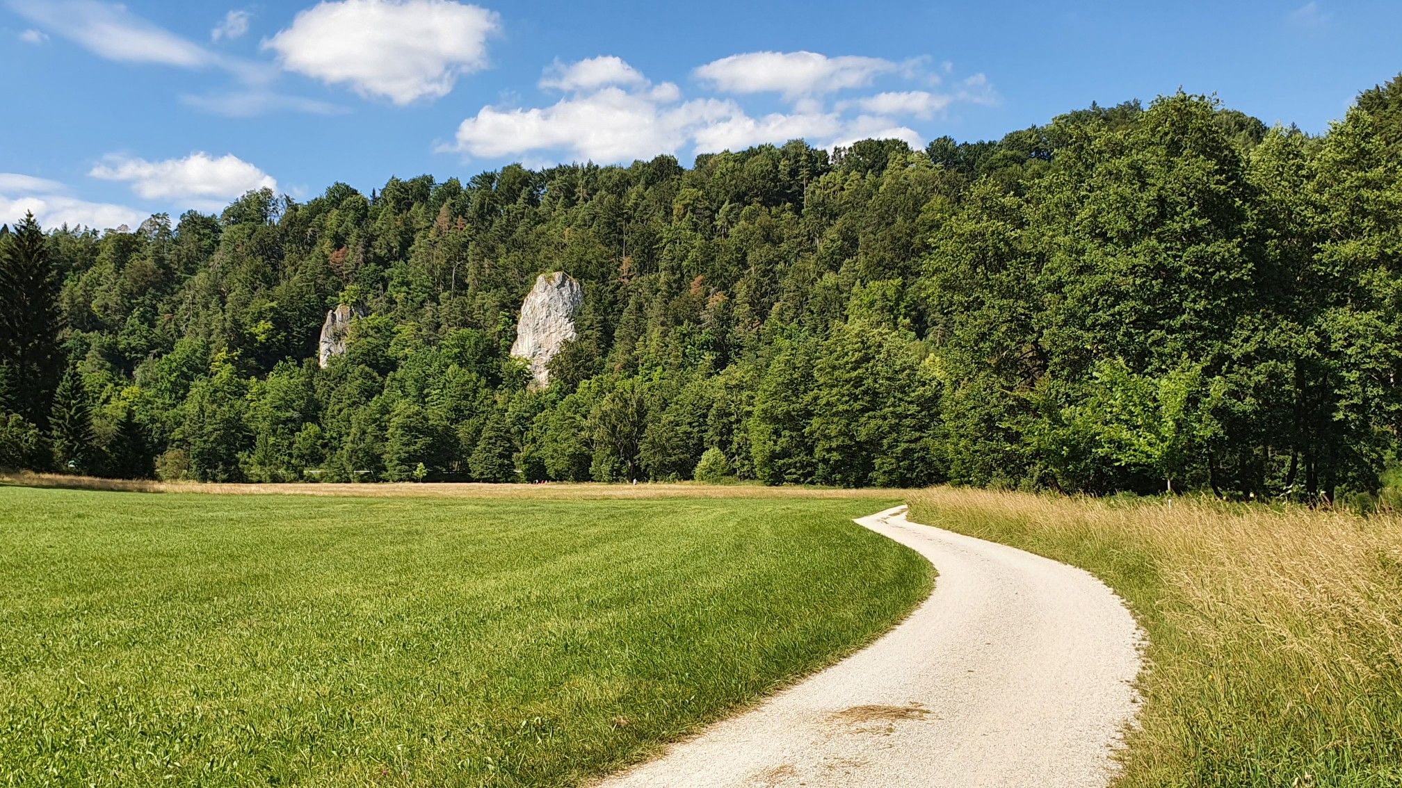
Day trips or a weekend getaway – Pegnitz cycle path
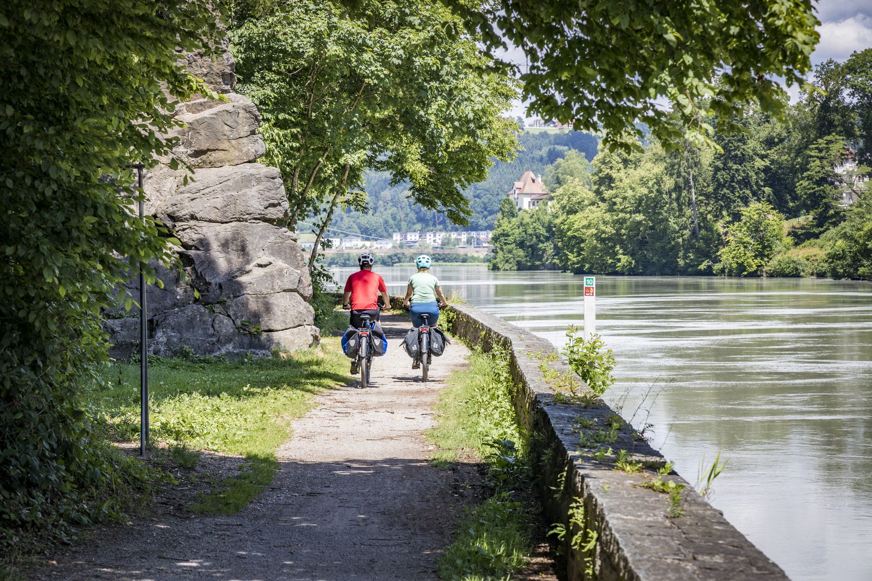
Kilometres of cycling fun – long-distance cycle routes in Bavaria
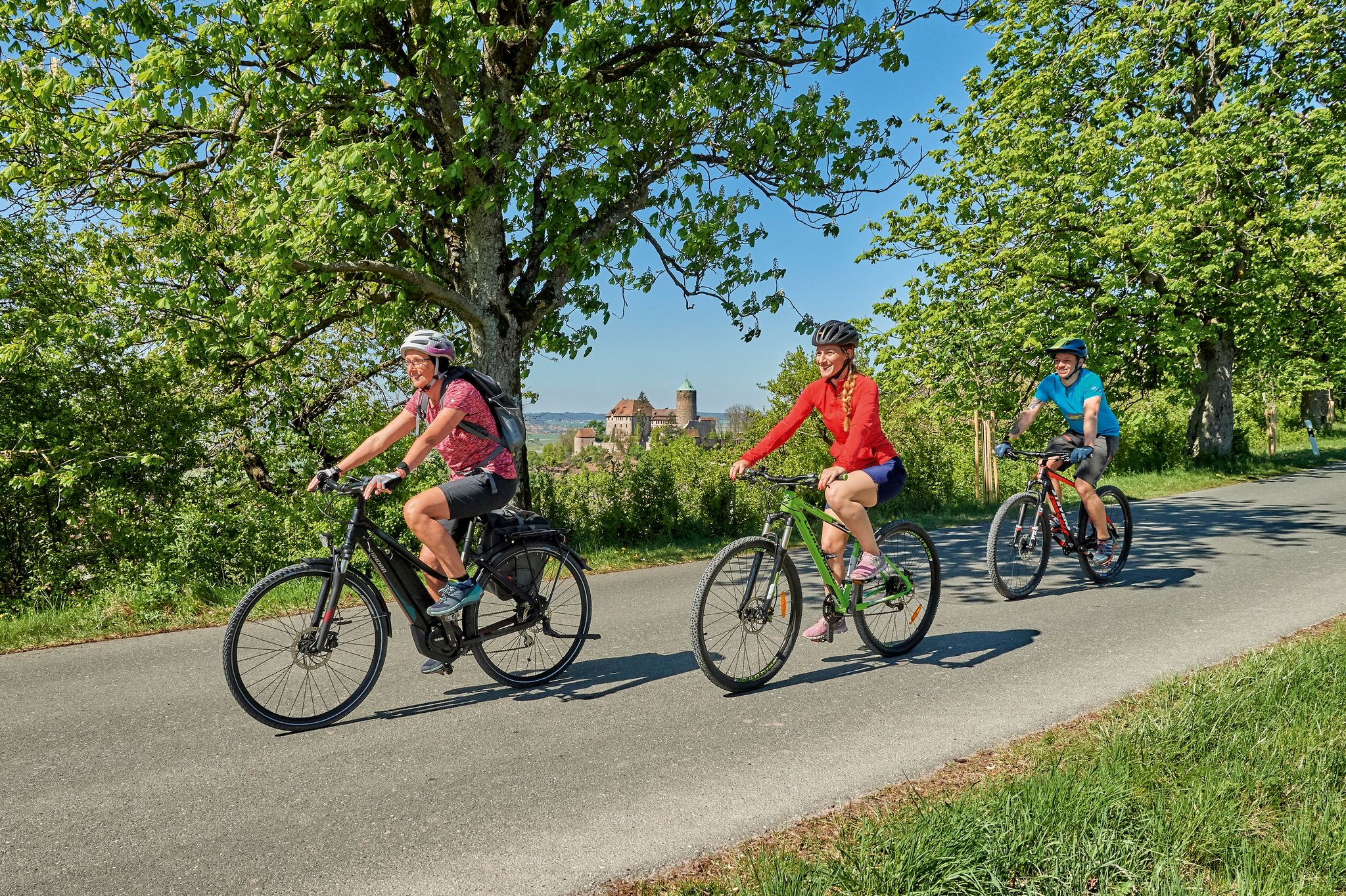
Sustainable cycling holidays — e-bike Tours through Franconia
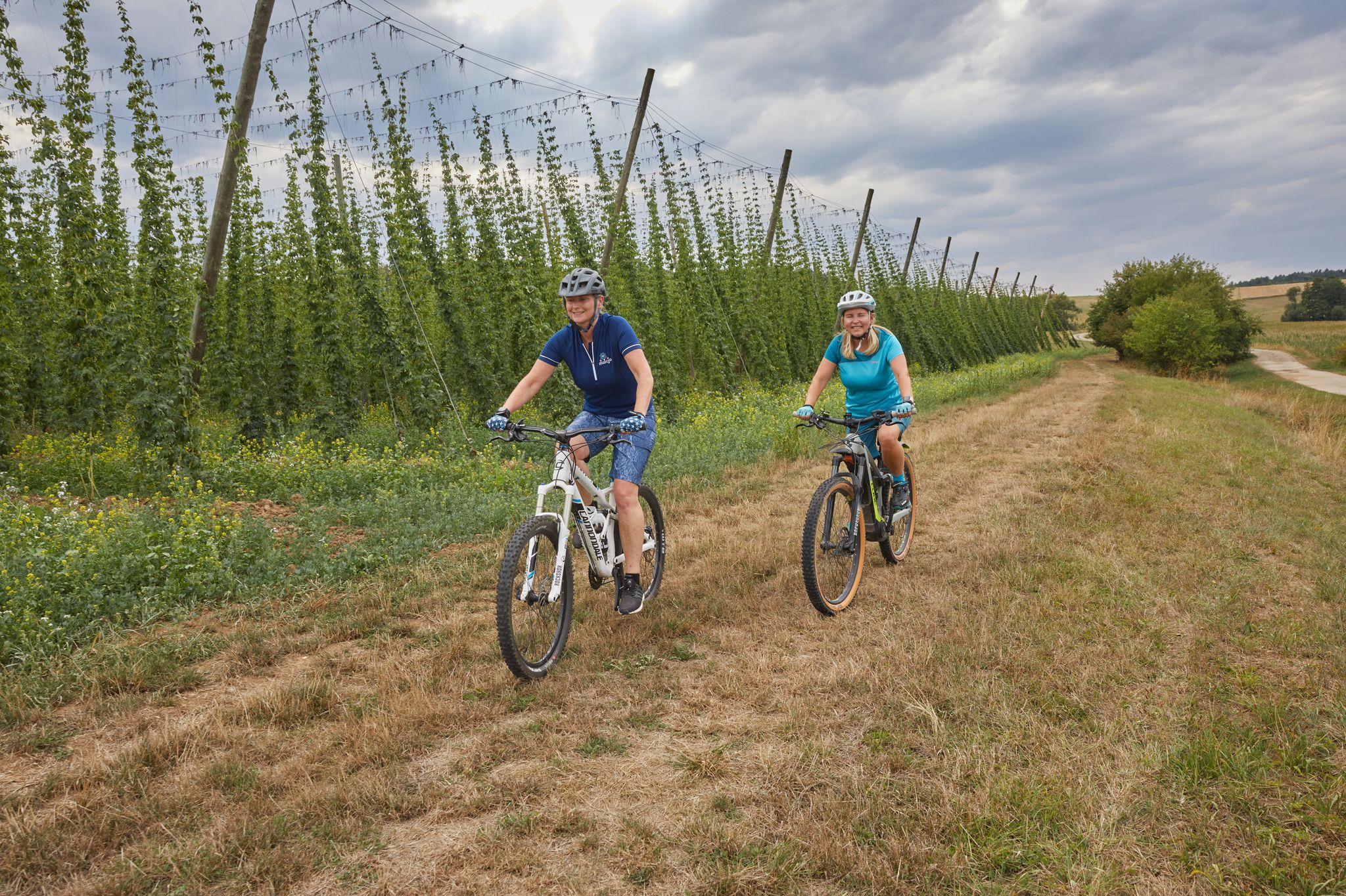
Explore the Nuremberg Land with all your senses – Sensory Cycle Path
Other adventures in Naturpark Fränkische Schweiz - Frankenjura


Tips from the Community

Anyone who follows the Wiesent downstream from the historic Eichenmühle mill experiences one of the most untouched and picturesque sections of the entire valley. This section of the trail combines spectacular geology, centuries-old cultural history, and a vibrant river ecosystem in a confined space and is best explored on foot or by bike on the paved, natural farm track. The adventure begins directly below the old mill property at the Truppach confluence. Here, the upper Wiesent valley celebrates a small, quiet river spectacle when the Truppach, coming from the direction of Obernsees, joins from the left. Framed by dense alder stands and willows, the confluence area has an almost enchanted atmosphere. Looking back from the small Truppach bridge, you are offered a fantastic panorama: in the foreground, the water merges, while in the background, the historic half-timbered mill and the imposing dolomite walls rise up. Continuing along the river course in the shade of these mighty, bright rock formations, you reach the historic river weir on the Wiesent. Where the water now gently babbles over the barrier, the economic heart of the valley once beat. For centuries, the weir regulated the water level for the so-called "Wässerwiesen" – a sophisticated irrigation system that is now a UNESCO World Heritage site. At the same time, the facility was used for fishing, which is reflected in the name of the subsequent hamlet, Aalkorb. The designation, over a thousand years old, goes back to wooden fish traps that were hung in the flowing Wiesent at precisely these weirs. Today, the former barrier has been ecologically redesigned so that rare fish species such as the brown trout can once again easily pass the obstacle on their migrations. Behind the weir, the valley widens slightly, and the path leads along striking, vertical climbing rocks directly into the elongated district of Waischenfeld, Nankendorf. Here, the Wiesent flows quietly and peacefully through the village, past old willows, and invites you to stop for a well-deserved refreshment after an eventful passage through nature.
3
0


Very well-maintained property from the outside. From the inside, you don't have to like buildings for this purpose.🤔
9
0

In the years 1356 - 1360, the then Emperor Charles IV had a stately castle built on the small island on the Pegnitz. It served as a resting place on the way from Nuremberg to the imperial residence in Prague. The coat of arms hall is a stone testament to his power: 112 colorfully painted coat of arms shields of Bohemian noble families are carved into the wall. They were skillfully carved and painted into the sandstone by stonemasons. The coat of arms friezes are among the highest achievements of medieval heraldry.
2
0

The RMD canal is great. Great paths that you can cycle on
0
0

Simply beautiful to walk the path. Keep your eyes open and you can observe dragonflies, nutria, trout, and ducks.
1
0
The building you see today was built immediately after its destruction in the 2nd Margraves' War. The citizens rebuilt it in record time: Material. Massive sandstone was used, giving the building its characteristic, sturdy appearance to this day. A late Gothic structure with Renaissance influences was created. Particularly striking is the steep timber-framed gable, which was later plastered over. The town hall was much more than just an office for the mayor back then. The open ground floor (the so-called arcades) used to house the bread and meat benches. Bakers and butchers sold their goods here under the protection of the city council. The city council met on the first floor, and justice was administered. The council bell in the turret announced important verdicts or warned of fire. From early on, there was a "council room" in the town hall where the council members were entertained.
9
0
The castle was built between 1356 and 1360 by Emperor Charles IV. It was strategically located on the "Golden Road", the important trade route between Nuremberg and Prague. Charles IV used it as a stopover castle and residence to consolidate his claims to power in the region. Today, it houses an external campus of the Nuremberg Academy of Fine Arts.
9
0
Frequently Asked Questions
How many touring cycling routes are available in Naturpark Fränkische Schweiz - Frankenjura?
Naturpark Fränkische Schweiz - Frankenjura offers an extensive network of over 3,400 touring cycling routes. These routes cater to all skill levels, from easy river valley paths to challenging tours with significant elevation changes.
What kind of terrain can I expect when cycling in Naturpark Fränkische Schweiz - Frankenjura?
The region features diverse terrain, from idyllic highland scenery with chalk cliffs and deep river valleys to extensive forests. You'll encounter a dramatic karst landscape with unique dolomite crags and rock spires. Routes along rivers like the Wiesent, Pegnitz, and Regnitz are generally flatter, while others venture into hilly areas with notable elevation gains.
Are there family-friendly touring cycling routes in the region?
Yes, many routes are suitable for families and leisure riders, particularly those that follow the river valleys. These paths are often paved and have minimal climbs, making them ideal for a relaxed family outing. For example, the Pegnitztal-Radweg is an easy route following the scenic Pegnitz river.
What are some interesting landmarks or natural features to see along the cycling routes?
The region is rich in natural wonders and cultural attractions. You can explore impressive cave systems like the Oswald Cave or the Quackenschloss. Historic sites such as the Ruins of Neideck Castle are also scattered throughout. For panoramic views, consider visiting viewpoints like Staffelberg or the Himmelsleiter Observation Tower.
What is the best time of year for touring cycling in Naturpark Fränkische Schweiz - Frankenjura?
The region is generally pleasant for cycling from spring through autumn. Spring brings blooming landscapes, while summer offers warm weather for longer rides. Autumn provides beautiful foliage and comfortable temperatures. Always check local weather conditions before heading out.
Are there any circular touring cycling routes available?
Yes, the Naturpark Fränkische Schweiz - Frankenjura is known for its extensive network, including around 58 circular tours. These routes allow you to start and end your journey in the same location, offering convenient exploration of the diverse landscapes.
What do other touring cyclists enjoy most about cycling in Naturpark Fränkische Schweiz - Frankenjura?
The area is highly rated by the komoot community, with an average score of 4.6 stars from over 13,700 reviews. Reviewers often praise the harmonious blend of nature and culture, the varied terrain suitable for all abilities, and the picturesque river valleys and dramatic rock formations.
Can I find challenging routes with significant elevation changes?
Absolutely. While there are many easy routes, the region also offers more challenging tours with significant elevation gains through its hilly terrain. For example, the Mountain and valley tour is a difficult 45 km path featuring substantial ascents and descents.
Are there options for public transport access to touring cycling routes?
The region has connections to public transport, which can help you reach various starting points for cycling routes. For detailed information on specific routes and their accessibility by train or bus, it's advisable to consult local public transport schedules.
Where can I find places to eat or stay along the cycling routes?
The Naturpark Fränkische Schweiz - Frankenjura is well-equipped with amenities for cyclists. You'll find numerous bike-friendly cafes, restaurants, and accommodation options in the towns and villages scattered throughout the region, especially along popular routes and in tourist centers.
Are there any specific routes that showcase the unique Franconian Switzerland landscape?
Yes, many routes highlight the distinctive features of Franconian Switzerland. The Through the northern "Fränkische" - Franconian Switzerland route, for instance, leads directly through this characteristic region, offering views of its chalk cliffs and valleys.
What is the difficulty distribution of touring cycling routes in the Naturpark Fränkische Schweiz - Frankenjura?
The routes are well-distributed across difficulty levels. Approximately 650 routes are classified as easy, over 1,500 are moderate, and more than 1,200 routes are considered difficult, ensuring options for every cyclist's experience level.
Most popular routes in Naturpark Fränkische Schweiz - Frankenjura
Most popular attractions in Naturpark Fränkische Schweiz - Frankenjura

Get inspired with the komoot mobile app


Explore more
Browse the best Cycling routes in other regions.
