The best mountain hikes in Oberfrauenau
4.9
(23)
157
hikers
17
hikes
Mountaineering in Oberfrauenau is characterized by its location within the Bavarian Forest National Park, offering diverse landscapes for outdoor activities. The region features dense forests, rolling hills, and prominent peaks like Großer Rachel. Mountaineers can explore challenging terrain, including routes around Rachelsee, a scenic lake often integrated into summit treks.
Best mountaineering routes in Oberfrauenau
- The most popular mountaineering route is Frauenau Drinking Water Reservoir – Großer Rachel Summit loop from Oberfrauenau, a 11.4 miles (18.3 km) trail that…
Last updated: July 5, 2026
5.0
(1)
19
hikers
Hard mountaineering route. Very good fitness required. Mostly accessible paths. Sure-footedness required.
5.0
(4)
20
hikers
13.1km
04:29
670m
670m
Moderate mountaineering route. Good fitness required. Mostly accessible paths. Sure-footedness required.

Sign up for free
4.5
(2)
16
hikers
14.9km
04:53
690m
690m
Moderate mountaineering route. Good fitness required. Mostly accessible paths. Sure-footedness required.
5.0
(2)
11
hikers
Moderate mountaineering route. Good fitness required. Easily-accessible paths. Suitable for all skill levels.
11
hikers
6.46km
02:27
460m
460m
Moderate mountaineering route. Good fitness required. Easily-accessible paths. Suitable for all skill levels.
Get access to more routes and recommendations from other explorers.
Sign up for free
Already have an account?
Our route recommendations are based on thousands of hikes, rides, and runs completed by other people on komoot.
Start today with a free account
Your next adventure awaits.
Login or Signup
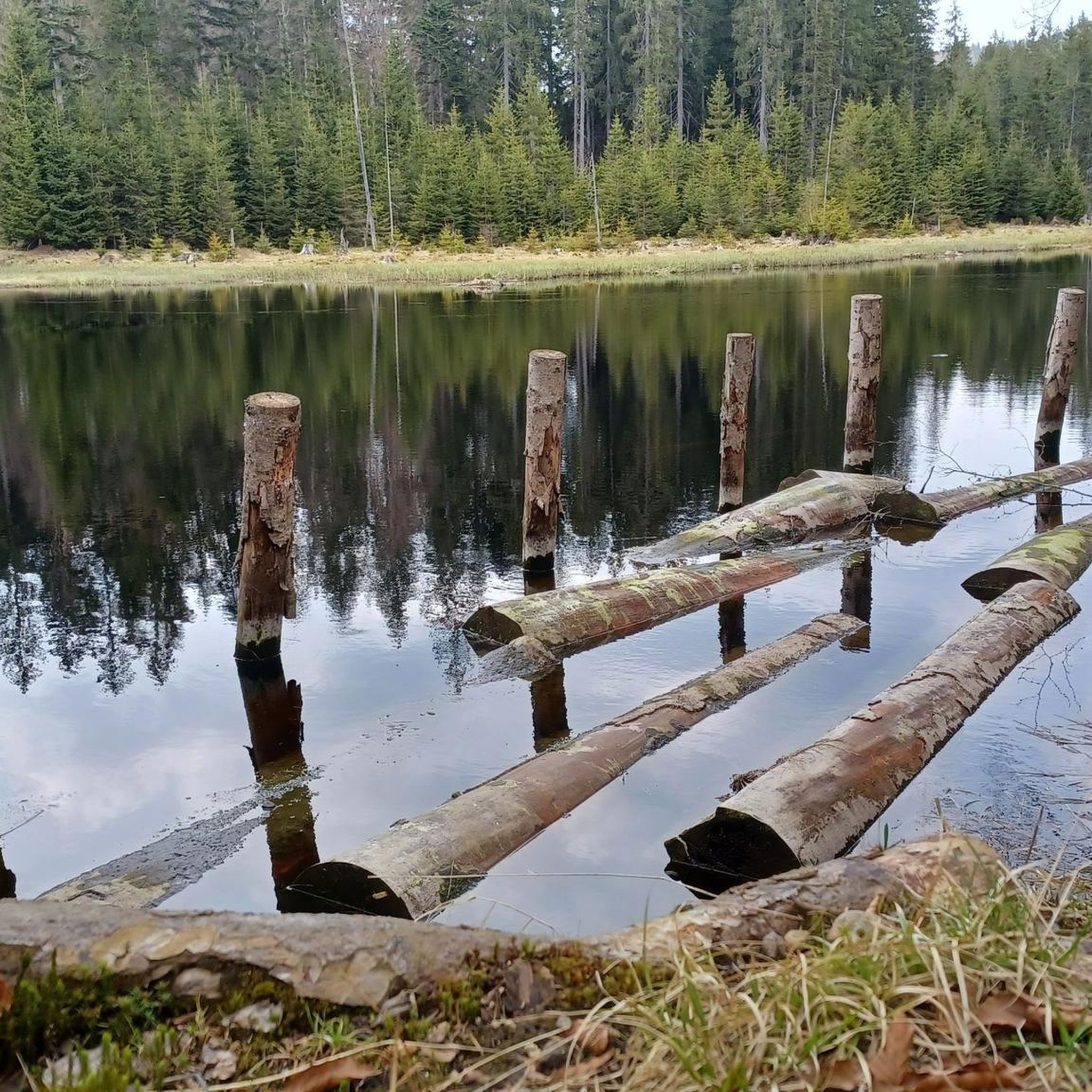
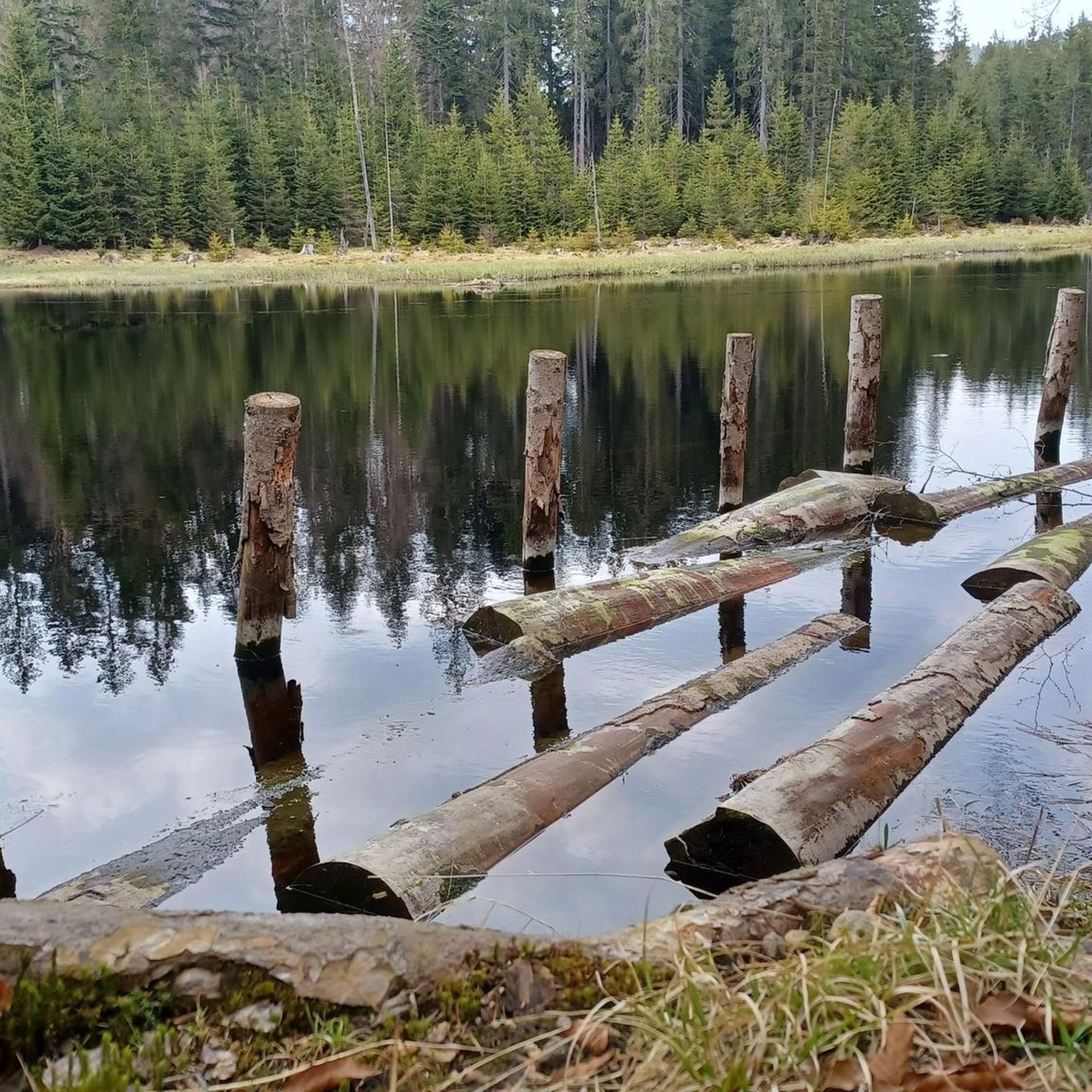
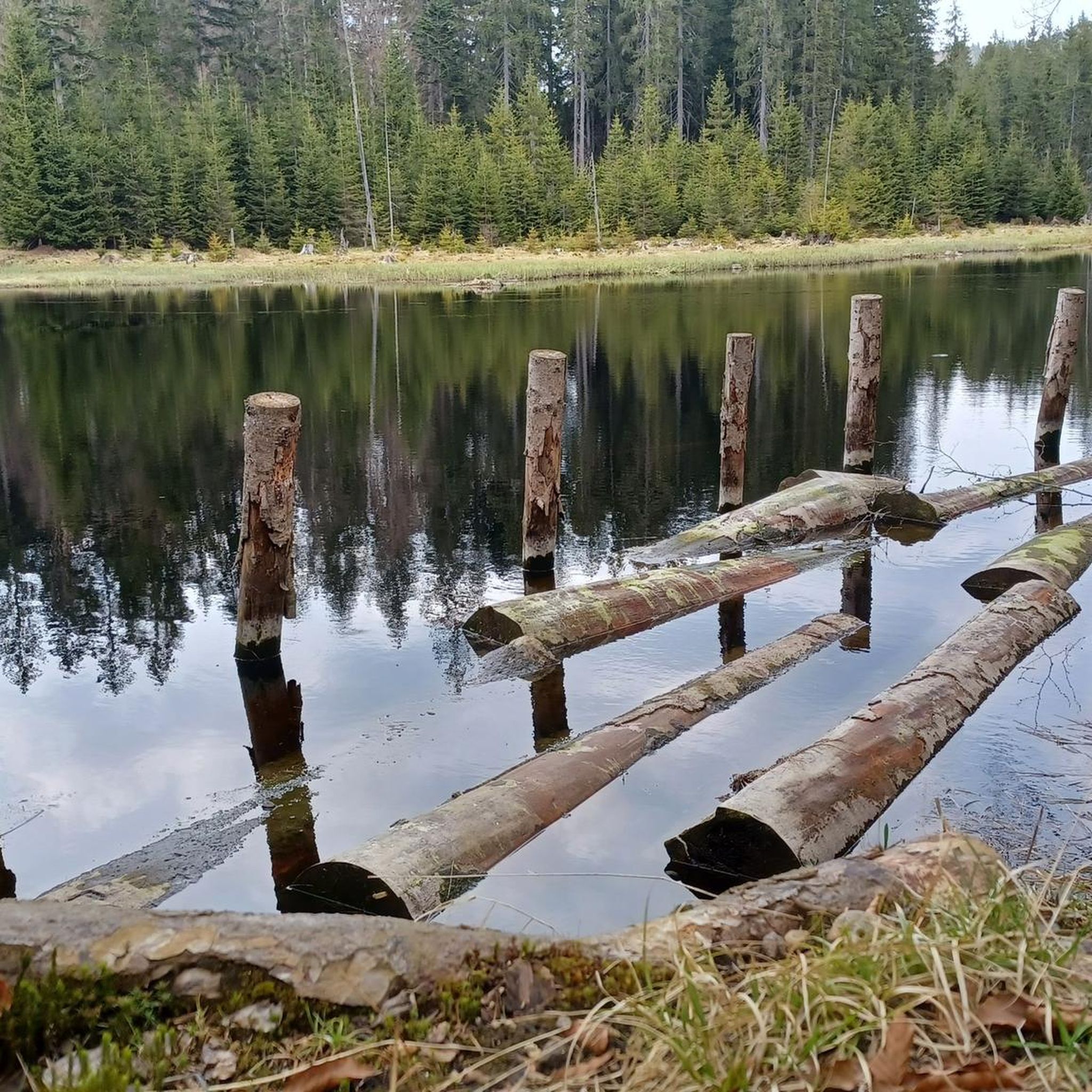
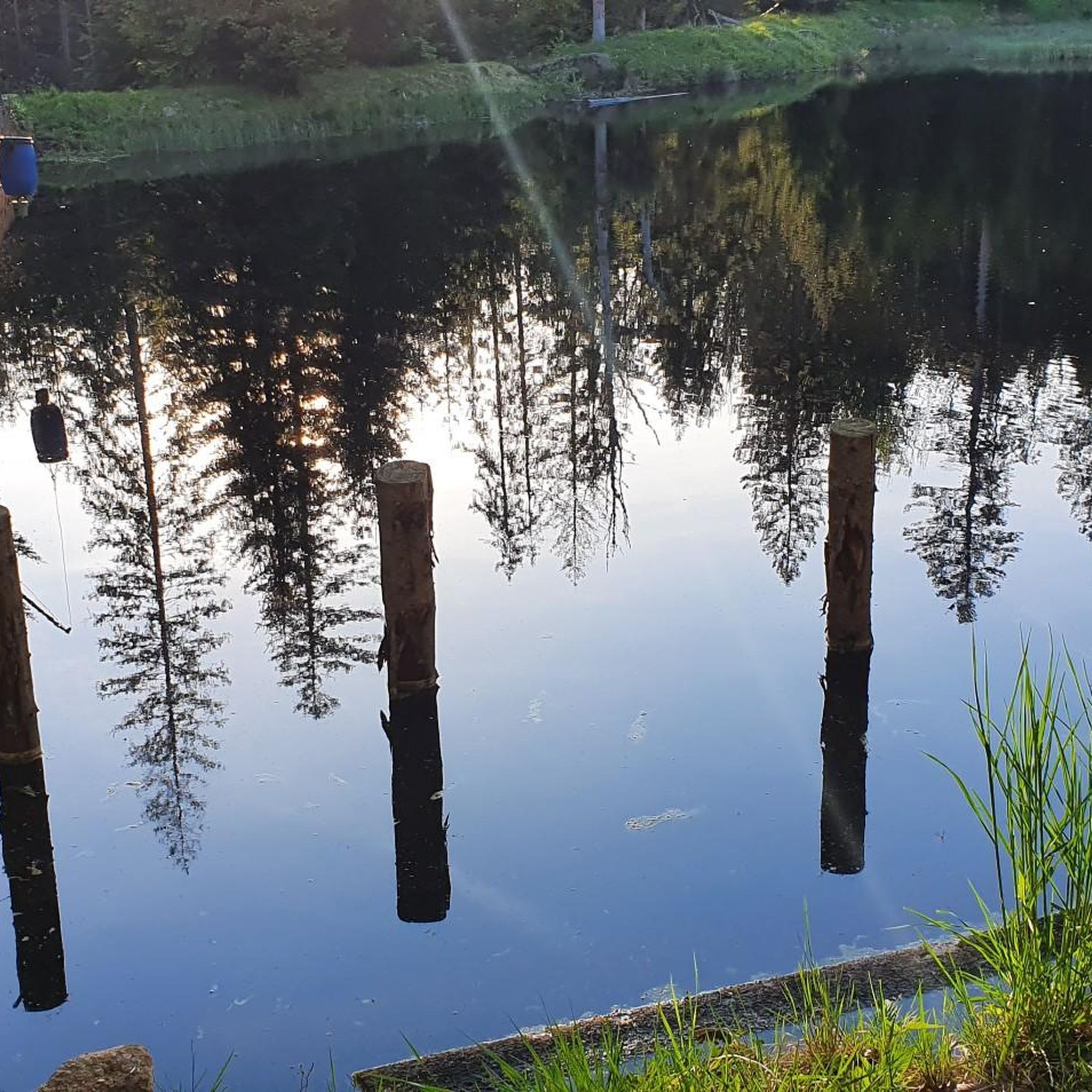

Tips from the Community


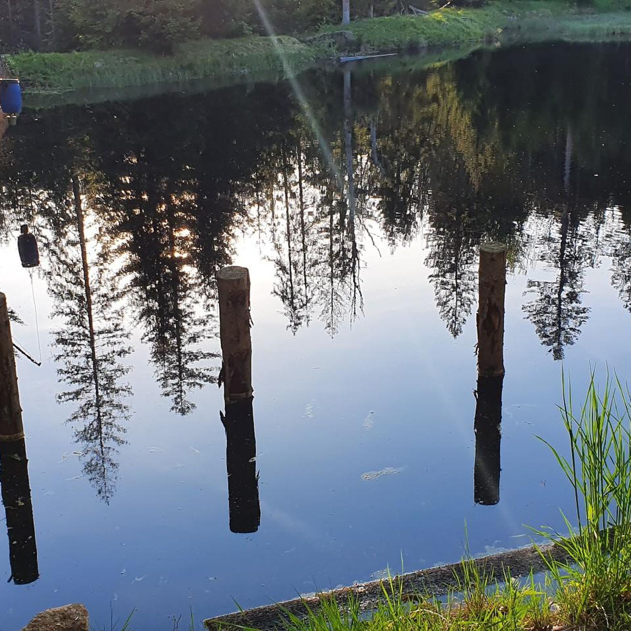
great place to take a break
0
0

rather practical in case bad weather does arise
0
0

Great panoramic view from the big Rachel
0
0
Currently unfortunately "out of order" - maybe reopened in 2025 when it has been rebuilt
1
0
Frequently Asked Questions
What types of mountaineering routes are available in Oberfrauenau?
Oberfrauenau, situated within the Bavarian Forest National Park, offers a diverse range of mountaineering routes. You'll find options from moderate to difficult, characterized by dense forests, rolling hills, and prominent peaks like Großer Rachel. There are approximately 19 routes in total, with 9 classified as moderate and 10 as difficult.
Are there any challenging mountaineering routes for experienced hikers?
Yes, Oberfrauenau provides several challenging routes. One notable difficult option is the Frauenau Drinking Water Reservoir – Großer Rachel Summit loop from Oberfrauenau, which spans 18.3 km and typically takes over 6 hours to complete, featuring significant elevation gain. Another demanding route is the Rachel Summit (Rachel Peak) – Rachel Lake loop from Klingenbrunn, covering 19.5 km.
What kind of landscapes and natural features will I encounter on the trails?
Mountaineering in Oberfrauenau takes you through the stunning Bavarian Forest National Park. You can expect to traverse dense forests, ascend rolling hills, and reach prominent peaks such as Großer Rachel and Rachel Summit. Many routes also feature picturesque views of Rachelsee, a scenic lake often integrated into summit treks.
Are there any circular mountaineering routes in the area?
Yes, many of the mountaineering routes in Oberfrauenau are designed as loops. For example, the Rachel Summit (Rachel Peak) – Großer Rachel Summit loop from Klingenbrunn is a moderate 13.1 km circular path offering panoramic views. Another popular loop is the Rachel Summit (Rachel Peak) – Großer Rachel Summit loop from Oberfrauenau, which is 14.1 km long.
What do other mountaineers say about the routes in Oberfrauenau?
The mountaineering routes in Oberfrauenau are highly regarded by the komoot community, holding an average rating of 4.9 stars from over 25 reviews. Nearly 200 mountaineers have explored the varied terrain, often praising the natural beauty and the challenging yet rewarding ascents to peaks like Großer Rachel.
Are there any specific landmarks or points of interest along the mountaineering routes?
While the primary focus is on the natural beauty of the Bavarian Forest, some routes may pass by or offer views of interesting features. You might encounter the Altposchingerhütte, a scenic lake, or the Wooden Shelter Near Frauenau. The region is also known for its extensive National Park areas.
What is the best time of year for mountaineering in Oberfrauenau?
The Bavarian Forest region, including Oberfrauenau, is generally best for mountaineering during the warmer months, from late spring through early autumn. During this period, trails are typically clear of snow, and the weather is more stable, offering ideal conditions for exploring the dense forests and ascending the peaks.
Are there any moderate mountaineering options for those looking for a less strenuous climb?
Absolutely. For a moderate experience, consider the Rachel Summit (Rachel Peak) – Waldschmidt Hut loop from Klingenbrunn. This 14.3 km route offers a rewarding journey through the landscape without the extreme demands of the most difficult trails, typically taking around 4 hours and 45 minutes.
Can I expect good viewpoints on the mountaineering routes?
Yes, the routes in Oberfrauenau, especially those ascending to Großer Rachel and Rachel Summit, are known for their panoramic views. From these elevated points, you can often enjoy expansive vistas of the surrounding Bavarian Forest National Park and its rolling hills.
How long do the mountaineering routes typically take to complete?
The duration varies significantly based on the route's length and difficulty. Moderate routes, such as the 13.1 km Rachel Summit (Rachel Peak) – Großer Rachel Summit loop from Klingenbrunn, can take around 4.5 hours. More difficult and longer routes, like the 18.3 km Frauenau Drinking Water Reservoir – Großer Rachel Summit loop from Oberfrauenau, may require over 6 hours.
Most popular routes in Oberfrauenau
Most popular attractions in Oberfrauenau

Get inspired with the komoot mobile app


Explore more
Browse the best Mountain Hikes & Routes in other regions.
