Naturpark Rieserferner-Ahrn - Parco Naturale Vedrette Di Ries-Aurina
Naturpark Rieserferner-Ahrn - Parco Naturale Vedrette Di Ries-Aurina
Attractions and Places To See in Naturpark Rieserferner-Ahrn - Parco Naturale Vedrette Di Ries-Aurina - Top 20
Attractions and places to see in Naturpark Rieserferner-Ahrn - Parco Naturale Vedrette Di Ries-Aurina encompass a diverse alpine landscape in South Tyrol, Italy. This region is characterized by its high mountain peaks, glaciers, and deep valleys, forming a significant part of the Eastern Alps. The park features a variety of geological formations and natural water features, including lakes and waterfalls. It serves as a protected area for its unique flora and fauna, offering numerous opportunities for exploration.
Best attractions and…
Last updated: July 5, 2026
First Reinbach Waterfall
Highlight • Waterfall
Translated by Google •
Tip by

Lake Anterselva – Antholzer See
Highlight (Segment) • Lake
Translated by Google •
Tip by

Sign up now to discover places like this
Get recommendations on the best single tracks, peaks, & plenty of other exciting outdoor places.
Sign up for free
Platten Earth Pyramids
Highlight • Natural Monument
Translated by Google •
Tip by

Lake Anterselva
Highlight • Lake
Translated by Google •
Tip by
Holy Spirit Church (Heilig-Geist-Kirche)
Highlight • Religious Site
Translated by Google •
Tip by

Sign up for free to discover even more attractions in Naturpark Rieserferner-Ahrn - Parco Naturale Vedrette Di Ries-Aurina.
Sign up for free
Already have an account?
Start today with a free account
Your next adventure awaits.
Login or Signup
Popular around Naturpark Rieserferner-Ahrn - Parco Naturale Vedrette Di Ries-Aurina
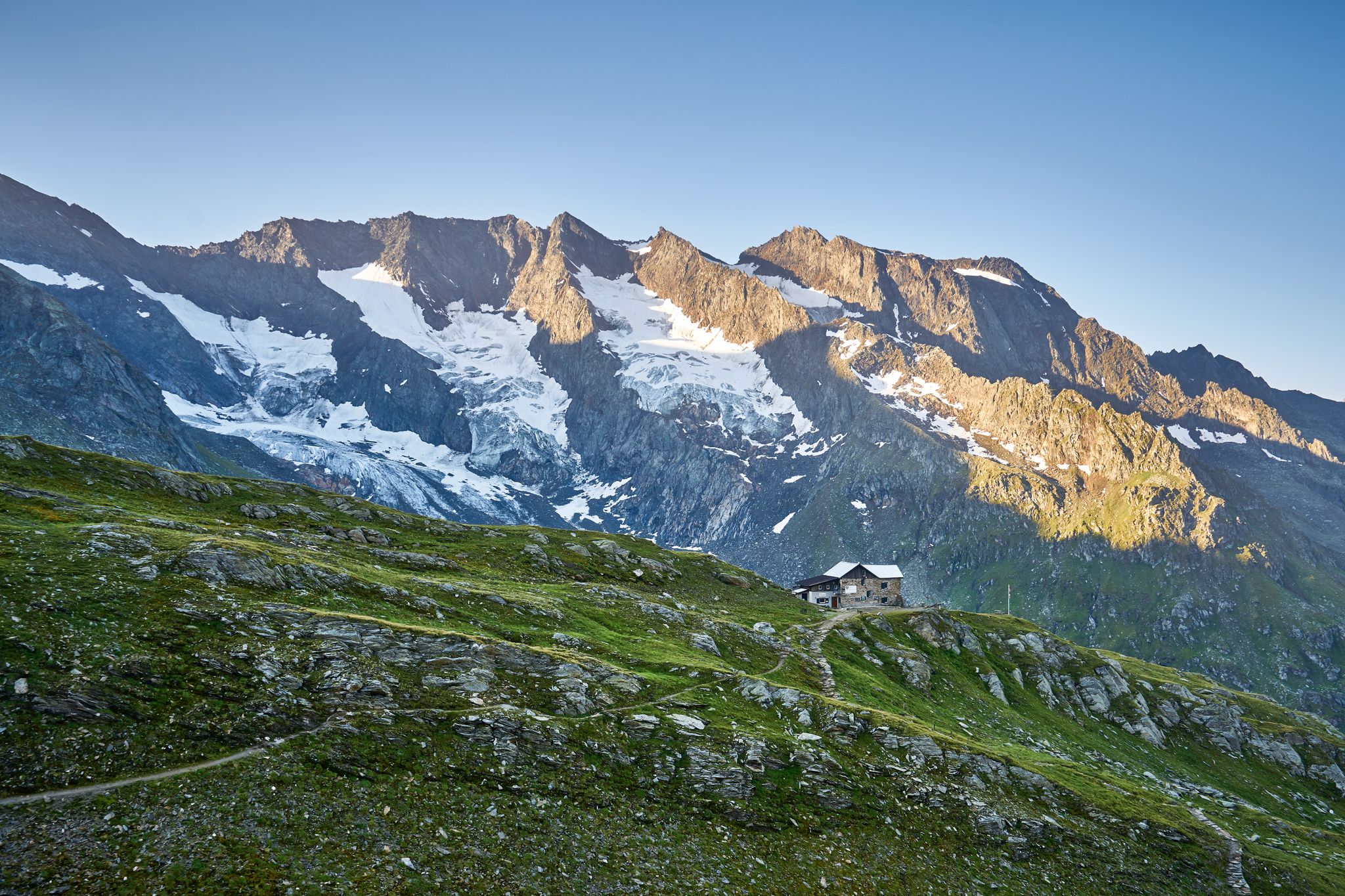
A superb hut-to-hut adventure over the main Alpine ridge – Dreiländertour
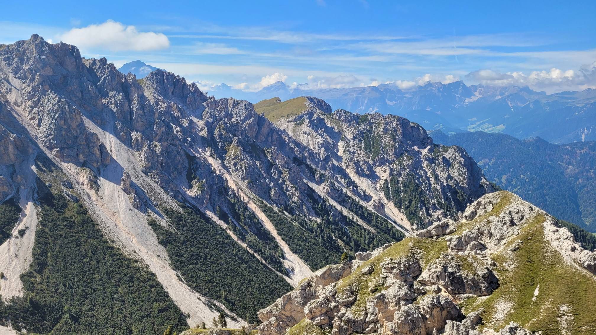
Impressive hikes in the mountains around South Tyrol’s Bruneck

The most beautiful waterfalls of the Alps
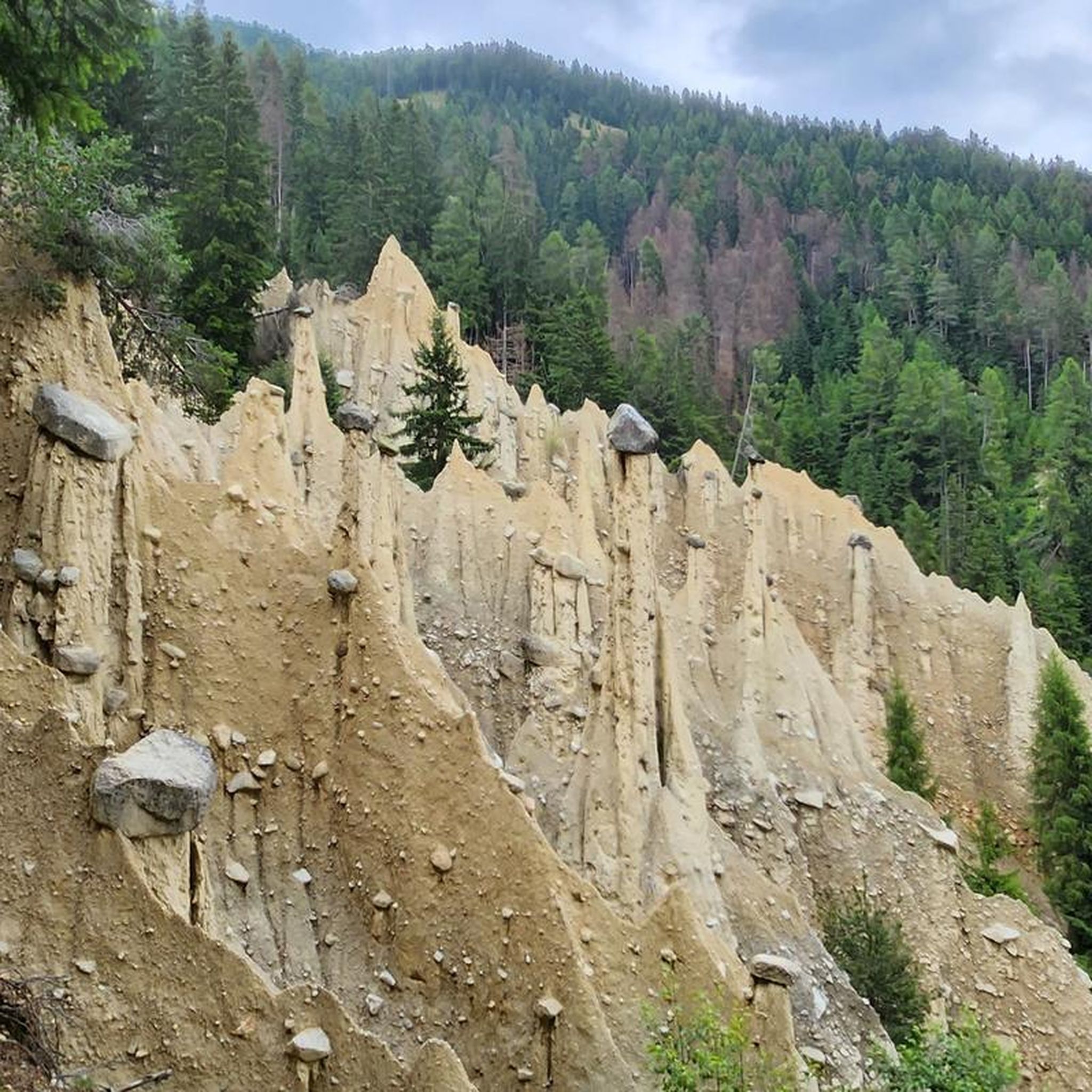
Hiking in Naturpark Rieserferner-Ahrn - Parco Naturale Vedrette Di Ries-Aurina
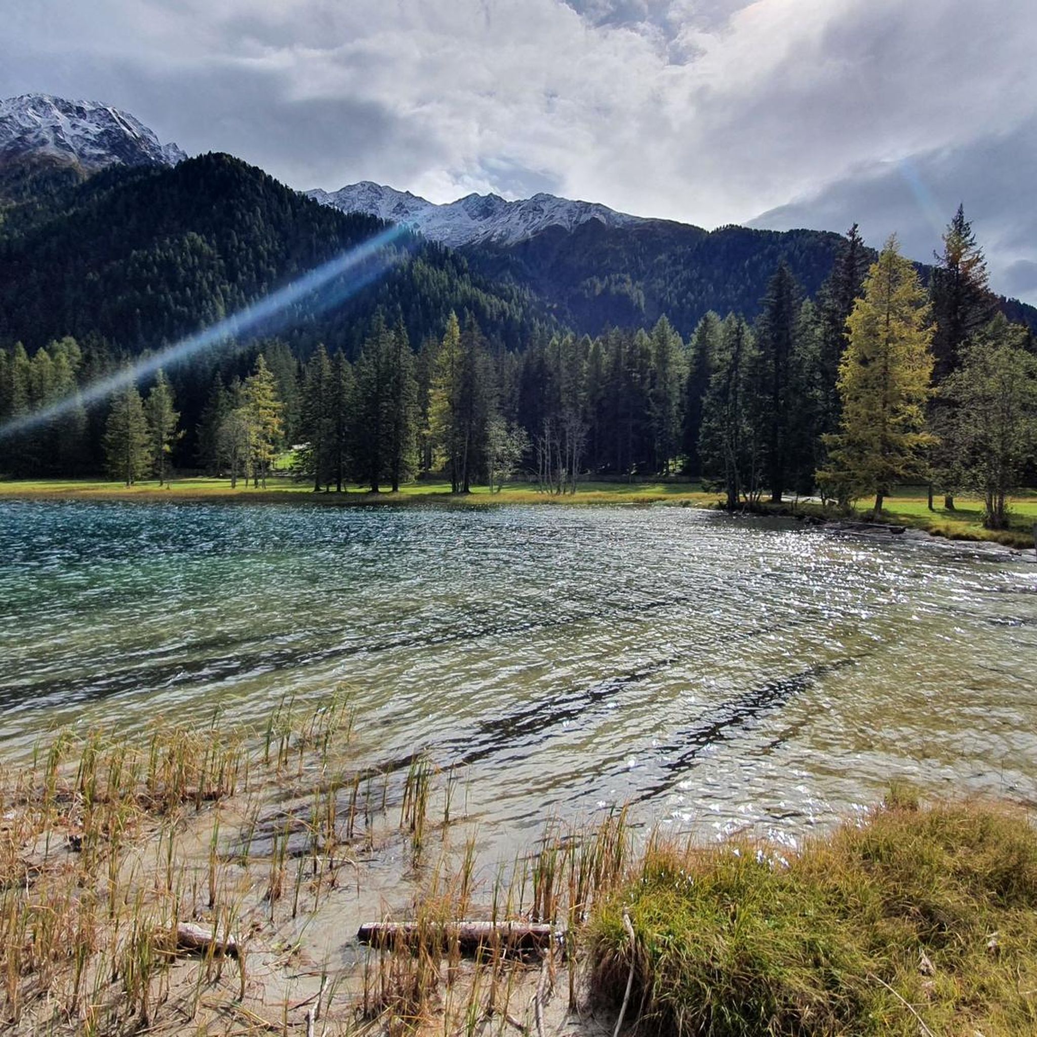
Road Cycling Routes in Naturpark Rieserferner-Ahrn - Parco Naturale Vedrette Di Ries-Aurina
MTB Trails in Naturpark Rieserferner-Ahrn - Parco Naturale Vedrette Di Ries-Aurina
Running Trails in Naturpark Rieserferner-Ahrn - Parco Naturale Vedrette Di Ries-Aurina

Mountain Hikes in Naturpark Rieserferner-Ahrn - Parco Naturale Vedrette Di Ries-Aurina
Cycling in Naturpark Rieserferner-Ahrn - Parco Naturale Vedrette Di Ries-Aurina

Gravel biking in Naturpark Rieserferner-Ahrn - Parco Naturale Vedrette Di Ries-Aurina
Other adventures in Naturpark Rieserferner-Ahrn - Parco Naturale Vedrette Di Ries-Aurina


Tips from the Community

This rock was once used as a so-called "sleeping stone"; according to legend, one could wash away one's sins by squeezing under it. Since we last did this four years ago, it's time to repeat the process. It's not that easy, as it involves some climbing, and it's also quite narrow.
1
0
The Holy Spirit Church (or Holy Spirit Pilgrimage Church) is located at the end of the Ahrntal Valley in the Kasern district of the Prettau municipality (not directly in St. Peter, which is further down the valley), and is a significant building in South Tyrol. It is located in the farthest reaches of the Ahrntal Valley in Kasern, at an elevation of 1619 meters above sea level, and is considered the northernmost church in Italy. The church was probably founded as early as the 8th century, but it was first documented and consecrated (church and cemetery) in 1455 by Bishop Nicholas Cusanus. It took on its present form in the 16th century. It was originally a miners' church for the miners of the nearby Prettau copper mine and served as a shelter for travelers trekking across the Krimml Tauern to Salzburg. Today it is a popular place of pilgrimage. The church is set in a narrow high mountain valley and is protected from avalanches by a rocky outcrop behind it.
1
0

The first waterfall of the Reinbach Cascade is reachable after about a 20-minute hike from the parking lot. The path there is wide, easy to walk, and runs along the Francis Contemplation Trail, which has several stations inviting you to reflect. At the waterfall itself, there is a viewing point from which you can enjoy the cascading water and the surrounding nature. Particularly noteworthy is the "Sister Water" contemplation point, a modern representation of the Sacred Heart of Jesus that reminds us of the spiritual significance of water. This section of the hike is easy, also suitable for families, and offers a first impressive glimpse of the power of the Reinbach Waterfalls.
4
0

The Church of the Holy Spirit, one of the most evocative pilgrimage destinations in South Tyrol, is the oldest church in the valley, built for the miners who worked in the copper mine of Predoi and the travellers who used the Tauern Pass to reach Pinzgau or Salzburg. The exact date of its construction is unknown. According to a legend, in this place the sound of a bell coming from the earth could be heard repeatedly. While digging, a portrait of the Holy Spirit came to light. After being taken away, the portrait was found again behind the rock that stands next to the church. For this reason, the decision was made to build the chapel. The first documents regarding the church date back to 1455, when it was consecrated by Cardinal Nicholas of Cusa, Prince Bishop of Bressanone. In 1500 the church was enlarged and during this work it was stripped of the works of art present, which were brought back here only in 1981. Other works of art are a representation of the Holy Trinity as well as wooden statues of St. Oswald, St. Kilian and St. Ursula, St. Francis and St. Andrew. Various tapestries and paintings give the church a particular artistic and architectural richness. The Church of the Holy Spirit is however above all known for the crucifix perforated by bullet holes. According to another legend, this crucifix was located near the Prastmann Farm and a shooter traveling for a competition decided to test his accuracy by piercing the cross three times. He won the competition and returned with a bull that, passing by the cross, became enraged and killed the man. The church, located at 1,620 m above sea level, seems to lean on a rock. And right there, between the building and nature, is the "Schliefstein", the sin-freer: whoever passes between the narrow walls of the rock is freed from his sins. Today a Via Crucis leads to the Church of the Holy Spirit from Casere and the individual stations were created by youth associations and students of the wood carving school of San Giacomo.
1
0

The Riva waterfalls (or Campo Tures waterfalls) are located in Cantuccio, between the Aurina Valley and the Riva Valley. There are three waterfalls (high, medium and low) and they are even more spectacular the more the snow has melted on the Vedrette di Ries.
0
0

There is a beautiful hiking trail around Lake Antholz with lovely views
3
0

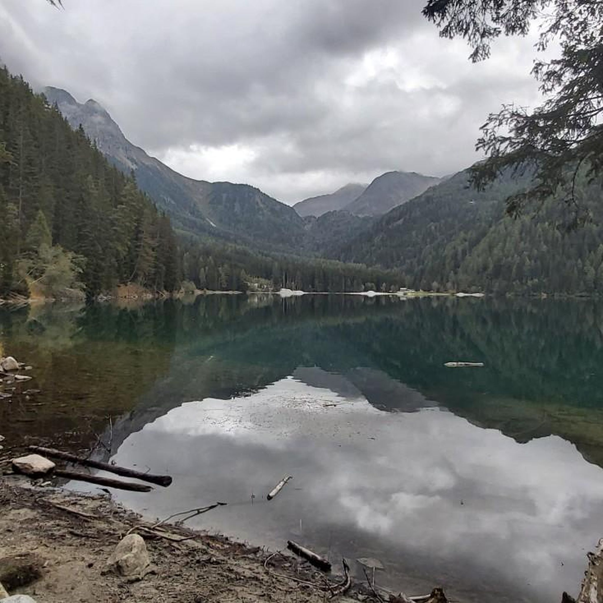
The Antholzer See is located at the end of the Antholzer valley, at the foot of the Staller Sattel, at an altitude of 1642m. With an area of 43 hectares and a depth of 43 m, it is the third largest lake in South Tyrol. You can walk around the lake on a path that is about 3.5 km long, with a difference in altitude of about 90 m.
11
0
The Antholzer See is located at the end of the Antholzer valley, at the foot of the Staller Sattel, at an altitude of 1642m. With an area of 43 hectares and a depth of 43 m, it is the third largest lake in South Tyrol. You can walk around the lake on a path that is about 3.5 km long, with a difference in altitude of about 90 m.
14
1
Frequently Asked Questions
Are there family-friendly attractions in Naturpark Rieserferner-Ahrn - Parco Naturale Vedrette Di Ries-Aurina?
Yes, the region offers several family-friendly spots. The First Reinbach Waterfall is a popular choice, featuring impressive cascades that are accessible for families. Another great option is Lake Anterselva – Antholzer See, which has an easy 3.5 km path around its perimeter. The Platten Earth Pyramids are also suitable for children, offering a unique natural spectacle created by erosion.
What natural water features can I explore in Naturpark Rieserferner-Ahrn - Parco Naturale Vedrette Di Ries-Aurina?
The park is rich in natural water features. You can visit the impressive First Reinbach Waterfall, which is part of a series of three waterfalls, with the middle one reaching about 50 meters in height. Additionally, Lake Anterselva – Antholzer See is a beautiful alpine lake, the third largest in South Tyrol, offering scenic views and a circular path.
Are there any unique geological formations to see in the park?
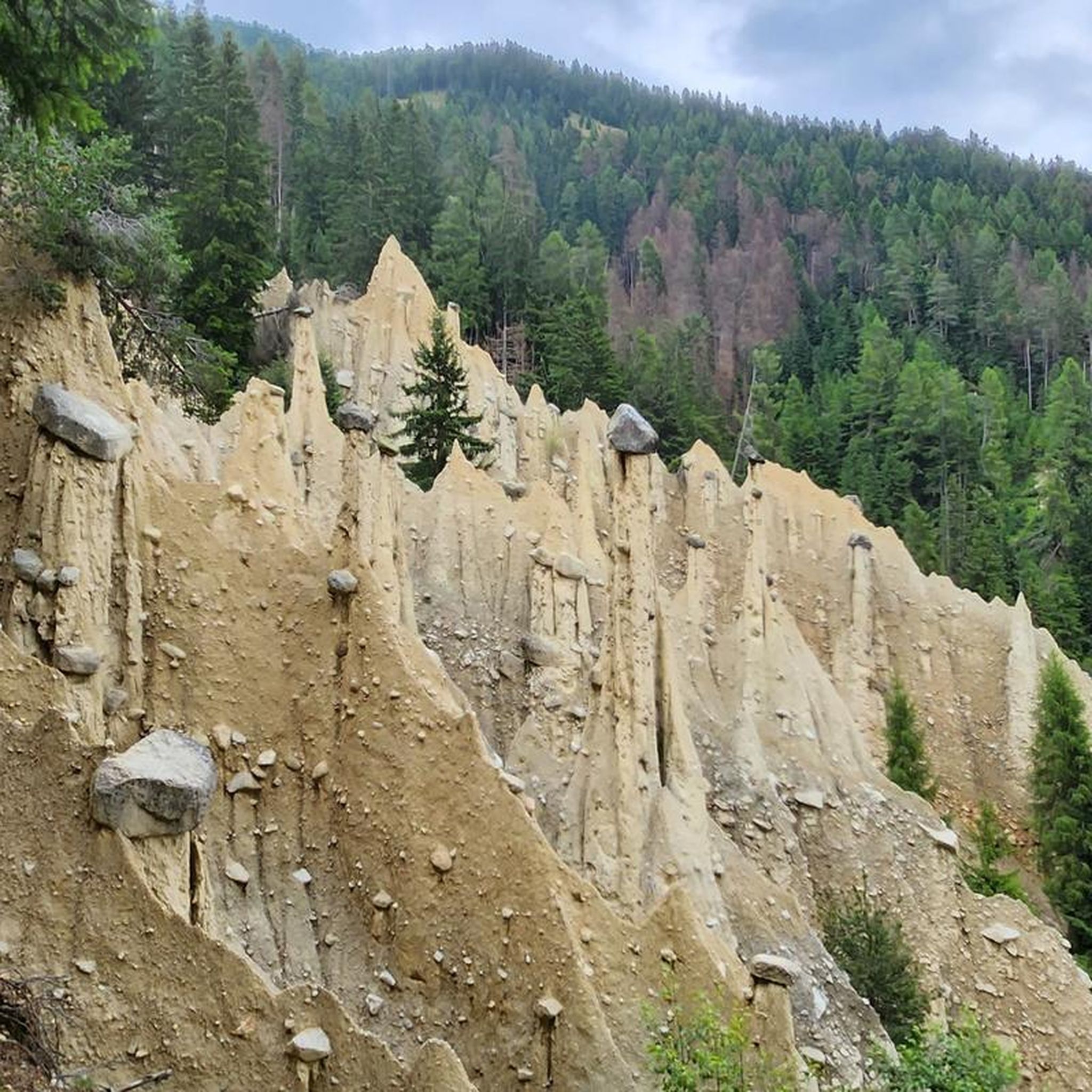
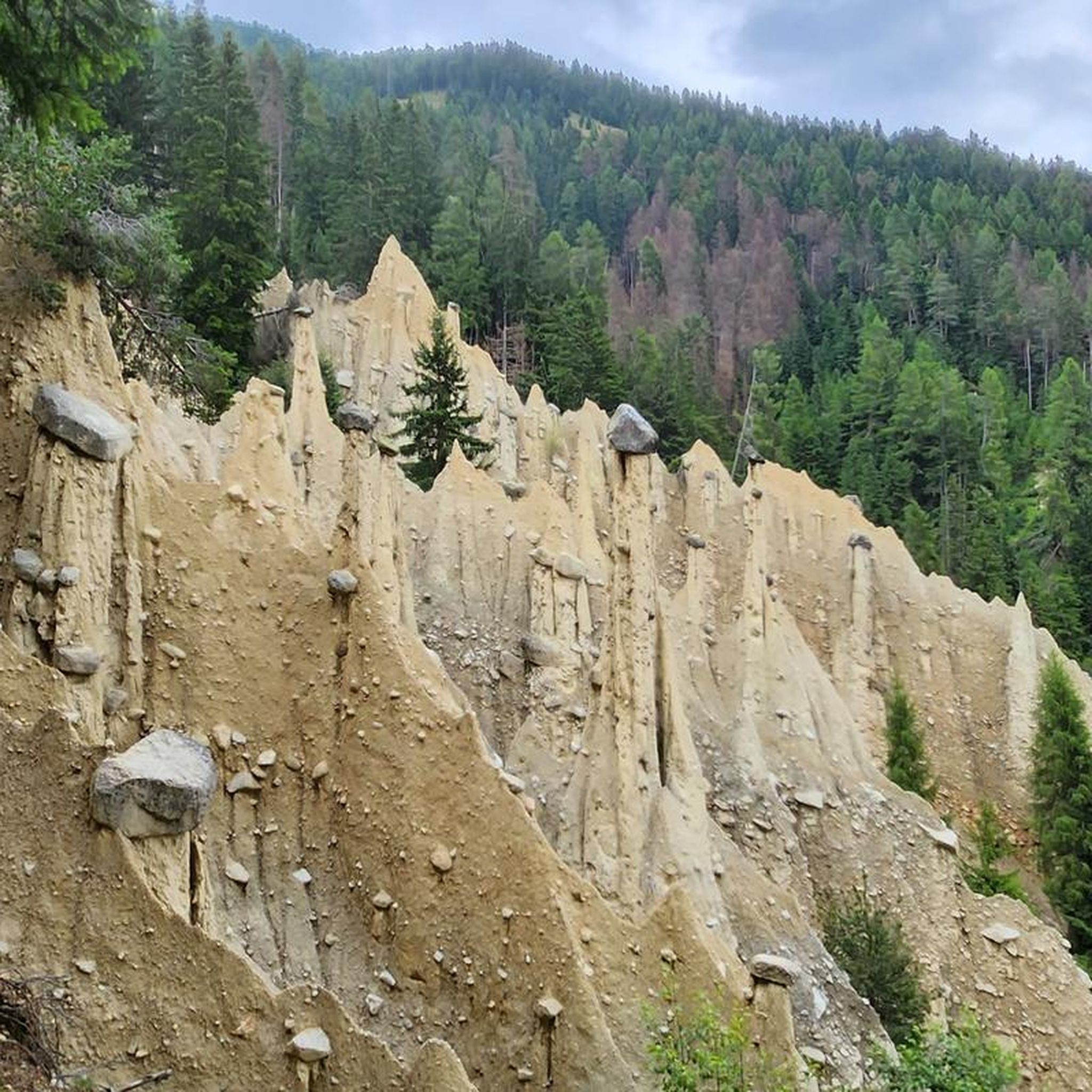
Absolutely. The Platten Earth Pyramids are a must-see. These bizarre, columnar structures are natural monuments formed by the erosion of Ice Age debris deposits, constantly changing and offering an impressive sight.
What kind of hiking trails are available in Naturpark Rieserferner-Ahrn - Parco Naturale Vedrette Di Ries-Aurina?
The region offers a variety of hiking trails for all levels. For easy walks, consider the Lake Antholz Nature Trail or the path around Lake Anterselva. More challenging routes lead to high-altitude huts like the Rieserferner Hut (Rifugio Vedrette di Ries), surrounded by 3000m peaks. You can find more hiking options in the dedicated hiking guide.
Can I find viewpoints with panoramic mountain scenery?
Yes, the alpine landscape of Naturpark Rieserferner-Ahrn provides numerous viewpoints. The Rieserferner Hut (Rifugio Vedrette di Ries) offers spectacular views of surrounding 3000m peaks and glaciers. Many trails, including those around Lake Anterselva and near the Reinbach Waterfalls, also feature scenic overlooks.
What outdoor activities, besides hiking, are available near these attractions?
Beyond hiking, the area is excellent for cycling and mountain biking. You can explore various routes, from moderate to difficult, such as the 'Huber Alm – Artificial Stone – Mussolini Bunker loop' for cycling or the 'Tauernalm MTB Panorama Tour' for mountain biking. Detailed routes can be found in the cycling guide and MTB trails guide for the region.
Are there any easy trails suitable for beginners or casual walkers?
Certainly. The Lake Antholz Nature Trail is an easy option, as is the approximately 3.5 km path around Lake Anterselva – Antholzer See. Another accessible route is the 'Third Reinbach Waterfall – View of Sand in Taufers Valley loop' which is about 5.2 km long and considered easy. These trails are perfect for a relaxed outdoor experience.
What do visitors enjoy most about Naturpark Rieserferner-Ahrn - Parco Naturale Vedrette Di Ries-Aurina?
Visitors frequently praise the impressive natural beauty, from the spectacular cascades of the Reinbach Waterfalls to the serene setting of Lake Anterselva. The unique Platten Earth Pyramids are also a highlight, often described as a bizarre and fascinating sight. The high mountain scenery around huts like Rieserferner Hut is also highly appreciated.
Is it possible to find less crowded attractions in the park?
While popular spots like the Reinbach Waterfalls and Lake Anterselva can attract visitors, the vastness of Naturpark Rieserferner-Ahrn allows for quieter exploration. Consider venturing onto some of the less-trafficked hiking trails or exploring smaller valleys away from the main access points. Early mornings or late afternoons can also offer a more tranquil experience at popular sites.
Are there any circular routes for hiking or cycling?
Yes, several circular routes are available. For an easy hike, the path around Lake Anterselva – Antholzer See is a popular 3.5 km loop. Cyclists can enjoy routes like the 'Huber Alm – Artificial Stone – Mussolini Bunker loop' or the 'Lake Anterselva – Anterselva Lake Biotope loop' which are moderate to easy. You can find more options in the respective hiking and cycling guides.
What is the best season to visit Naturpark Rieserferner-Ahrn for outdoor activities?
The best season largely depends on your preferred activities. For hiking and cycling, late spring to early autumn (May to October) generally offers the most favorable weather conditions, with accessible trails and pleasant temperatures. During winter, the park transforms into a snowy landscape, suitable for winter hiking, snowshoeing, and cross-country skiing, though some higher-altitude areas may be inaccessible.
Most popular routes in Naturpark Rieserferner-Ahrn - Parco Naturale Vedrette Di Ries-Aurina
Most popular attractions in Naturpark Rieserferner-Ahrn - Parco Naturale Vedrette Di Ries-Aurina

Get inspired with the komoot mobile app


Explore more
Still not found the Highlight you’re looking for? See guides of the top attractions in other regions:
