The best walks and hikes in Naturpark Rieserferner-Ahrn - Parco Naturale Vedrette Di Ries-Aurina
4.6
(34524)
173,101
hikers
175
hikes
Hiking trails in Naturpark Rieserferner-Ahrn - Parco Naturale Vedrette Di Ries-Aurina traverse a diverse Alpine landscape characterized by majestic mountain peaks, numerous glaciers, and abundant water features. The region features many summits exceeding 3,000 meters, alongside deep valleys, pristine forests, and picturesque lakes. This environment offers varied terrain for hikers, from gentle lakeside paths to challenging high-alpine routes.
Best hiking trails in Naturpark Rieserferner-Ahrn - Parco Naturale Vedrette Di Ries-Aurina
- The most popular hiking route is Lake Antholz Nature Trail, a 2.2 miles (3.6 km) trail that takes about 1 hour to complete. This easy route offers a circular path around Lake Antholz, providing insights into the local environment.
- Another top favourite among local hikers is Via Crucis Trail to Birnlücke (Route 13), a difficult 11.3 miles (18.2 km) path. This trail features significant elevation gain, leading through high-alpine terrain towards Birnlücke.
- Local hikers also love the View of the Lake and Mountains – View of Lake Anterselva loop from Antholz Obertal - Anterselva di Sopra, a 9.8 miles (15.8 km) trail leading through mountain scenery and offering lake views, often completed in about 5 hours 7 minutes.
- Hiking in Naturpark Rieserferner-Ahrn - Parco Naturale Vedrette Di Ries-Aurina is defined by towering 3,000-meter peaks, glacial landscapes, and numerous waterfalls and lakes. The network offers options for various ability levels, from easy nature trails to demanding mountain ascents.
- The routes in Naturpark Rieserferner-Ahrn - Parco Naturale Vedrette Di Ries-Aurina are highly rated by the komoot community with an average score of 4.7 stars from over 8,500 reviews. More than 42,000 hikers have used komoot to explore Naturpark Rieserferner-Ahrn - Parco Naturale Vedrette Di Ries-Aurina's varied terrain.
Last updated: August 31, 2026
4.8
(731)
3,519
hikers
3.59km
01:00
60m
60m
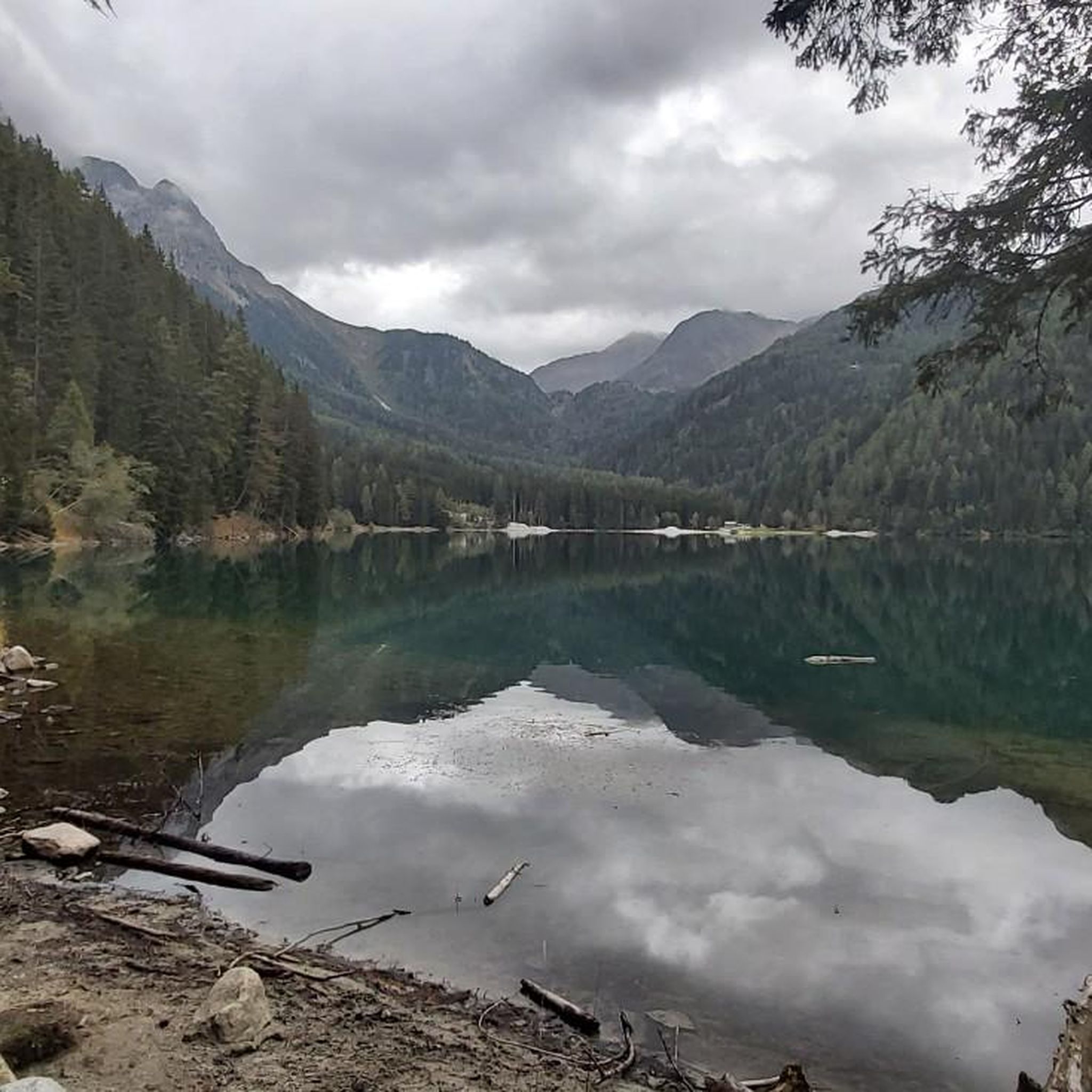
Embark on an easy hike around the tranquil Lake Antholz Nature Trail, a gentle loop that circles the turquoise waters of Lake Antholz. As you walk, you'll be surrounded by alpine scenery, with dark green coniferous forests and majestic peaks framing the view. This accessible route covers 2.2 miles (3.6 km) with a modest elevation gain of 202 feet (62 metres), making it a perfect choice for a relaxed outing you can complete in about 59 minutes.
Planning your visit is straightforward, as the trail is very accessible and suitable for families, even those with strollers. You will find parking generally available near the trailhead, ensuring easy access to begin your walk. Along the way, look out for designated picnic spots, which offer ideal locations to pause and enjoy the views across the lake.
This trail is nestled within the beautiful Rieserferner-Ahrn Nature Park, offering more than just a walk; it's an opportunity to connect with the natural environment. Interactive information panels are placed along the route to teach you about the local flora and fauna. Keep an eye out for the deer enclosure, a popular spot to observe wildlife up close and add a unique touch to your experience.
4.8
(141)
598
hikers
18.2km
07:31
1,070m
1,060m
Granite Via Crucis path through Rieserferner Nature Park to alpine huts and Venediger Group views.

Sign up for free
4.7
(78)
284
hikers
5.60km
02:20
450m
440m
Hike the Antholz Valley Waterfalls and Boulder Fields Trail, a moderate 3.5-mile route through alpine forests and powerful waterfalls.
4.8
(383)
1,798
hikers
Hard hike. Very good fitness required. Mostly accessible paths. Sure-footedness required.
4.6
(15)
66
hikers
17.1km
07:48
1,430m
1,430m
This difficult 10.6-mile hike from Antholzer See to Barmer Hütte (via Trail 39) offers alpine views and connects two national parks.
Get access to more routes and recommendations from other explorers.
Sign up for free
Already have an account?
Our route recommendations are based on thousands of hikes, rides, and runs completed by other people on komoot.
Start today with a free account
Your next adventure awaits.
Login or Signup
Popular around Naturpark Rieserferner-Ahrn - Parco Naturale Vedrette Di Ries-Aurina
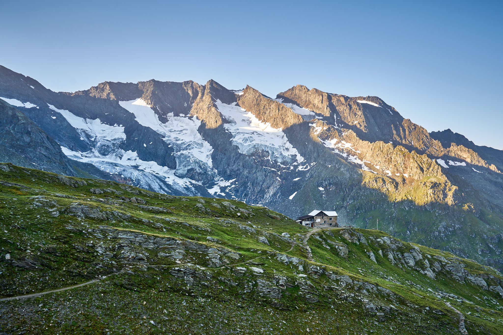
A superb hut-to-hut adventure over the main Alpine ridge – Dreiländertour
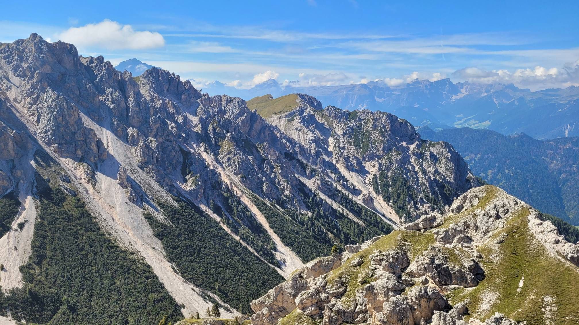
Impressive hikes in the mountains around South Tyrol’s Bruneck

The most beautiful waterfalls of the Alps
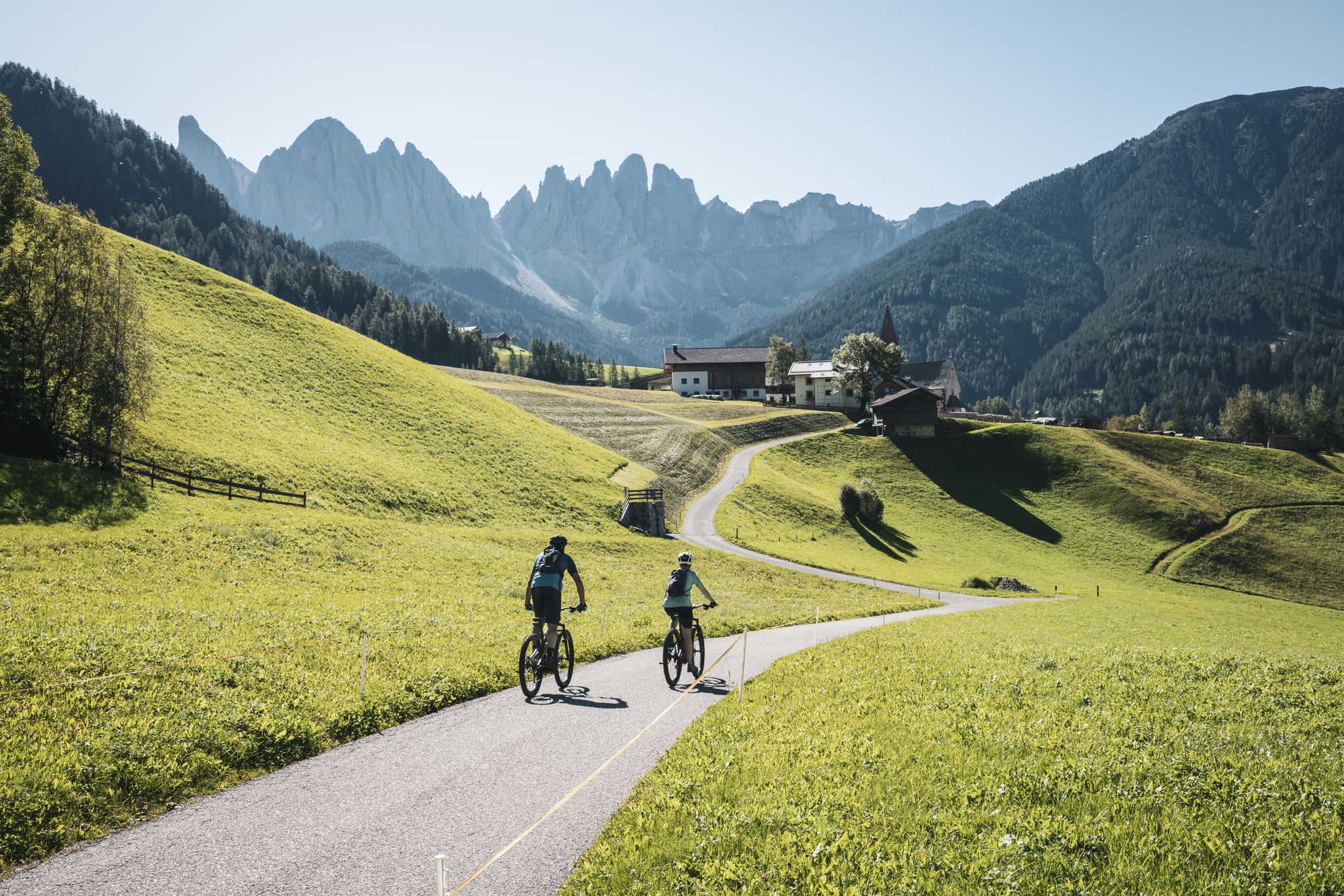
Unvergessliche MTB-Touren durch Südtirols stille Täler
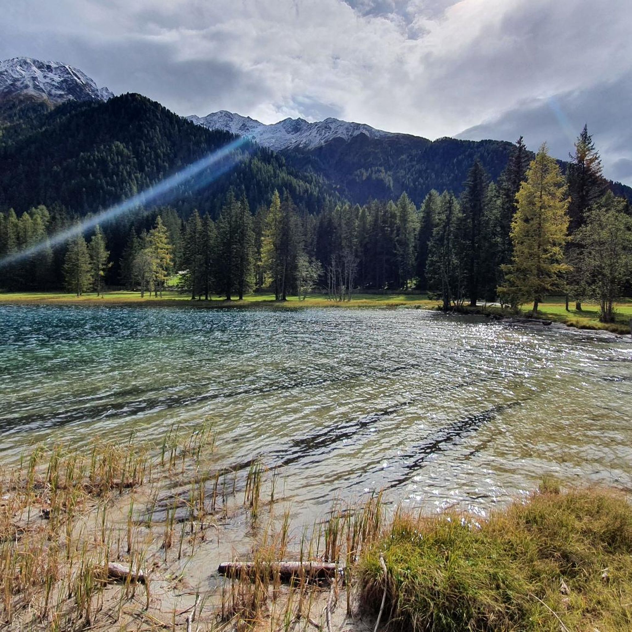
Road Cycling Routes in Naturpark Rieserferner-Ahrn - Parco Naturale Vedrette Di Ries-Aurina
Cycling in Naturpark Rieserferner-Ahrn - Parco Naturale Vedrette Di Ries-Aurina
MTB Trails in Naturpark Rieserferner-Ahrn - Parco Naturale Vedrette Di Ries-Aurina

Mountain Hikes in Naturpark Rieserferner-Ahrn - Parco Naturale Vedrette Di Ries-Aurina
Running Trails in Naturpark Rieserferner-Ahrn - Parco Naturale Vedrette Di Ries-Aurina

Gravel biking in Naturpark Rieserferner-Ahrn - Parco Naturale Vedrette Di Ries-Aurina
Other adventures in Naturpark Rieserferner-Ahrn - Parco Naturale Vedrette Di Ries-Aurina


Tips from the Community

The marked location is at the Eggerbach and not at the Klammbach
0
0

You can circle the lake on a path about 3.5 km long, with about 90m of elevation gain to overcome. During the hike, you repeatedly have a great view of the lake with its magnificent colors.
8
0


Rustic hut at 1700 m. Cool music from the 70s. Cold drinks and local dishes. Recommended!
0
0
You can walk around the lake on a path approximately 3.5 km long, with about 90m of elevation gain. During the hike, you repeatedly have a great view of the lake with its magnificent colors.
8
0

is also open in winter and is a welcome stop after a ski tour
0
0
also open in winter and a MUST - stop after a ski tour
0
0
You can walk around the lake on a path approximately 3.5 km long, with about 90m of elevation gain. During the hike, you repeatedly get a great view of the lake with its wonderful colors.
8
0
Frequently Asked Questions
How many hiking trails are available in Naturpark Rieserferner-Ahrn - Parco Naturale Vedrette Di Ries-Aurina?
The Naturpark Rieserferner-Ahrn offers a vast network of over 150 hiking trails. These routes cater to a wide range of abilities, from gentle walks to demanding high-alpine ascents, ensuring there's something for every hiker.
What kind of terrain can I expect when hiking in Naturpark Rieserferner-Ahrn?
Hikers in Naturpark Rieserferner-Ahrn can expect a diverse Alpine landscape. The park features majestic mountain peaks, many exceeding 3,000 meters, alongside numerous glaciers, pristine forests, and picturesque valleys. You'll encounter abundant water features, including mountain streams, thundering waterfalls like the Reinbach waterfalls, and clear lakes such as Lake Antholz.
Are there easy hiking trails suitable for beginners or families?
Yes, the park offers many easy trails perfect for beginners and families. For instance, the Lake Antholz Nature Trail is an easy 3.6 km circular path that provides insights into the local environment. Overall, there are over 30 easy routes to explore.
Are there any circular hiking routes in Naturpark Rieserferner-Ahrn?
Yes, several circular routes are available. A notable option is the View of the Lake and Mountains – View of Lake Anterselva loop from Antholz Obertal - Anterselva di Sopra, which is a 15.8 km trail offering stunning lake and mountain views. The Lake Antholz Nature Trail is also a popular easy circular path.
What are some notable natural features or landmarks to see along the trails?
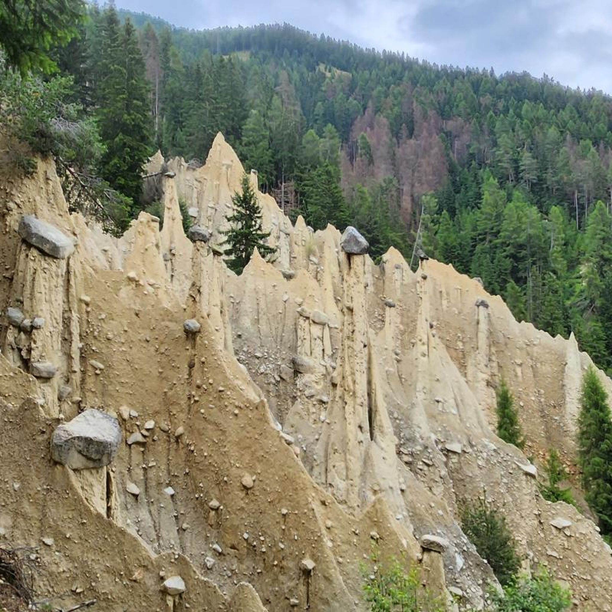
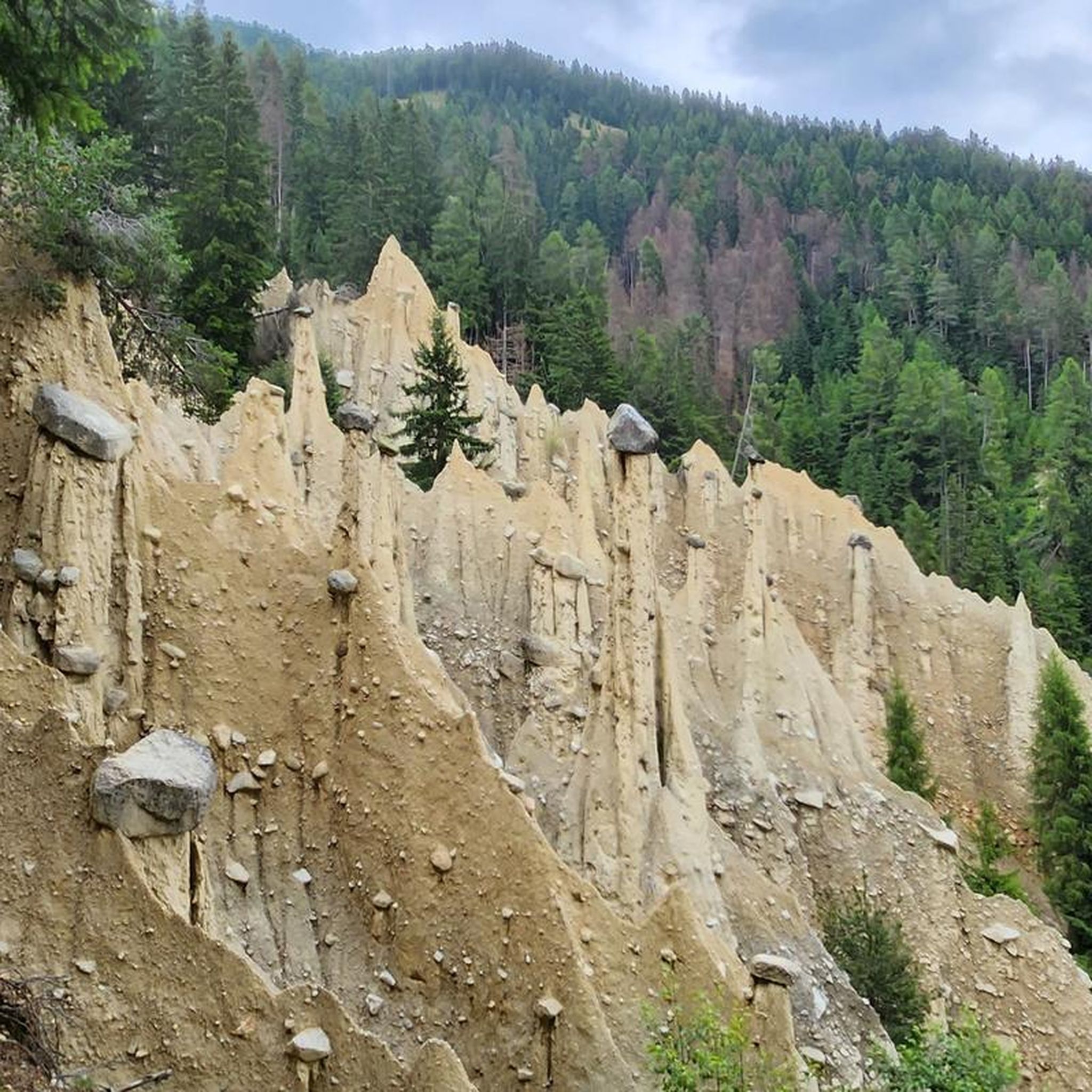
The park is rich in natural wonders. You can discover numerous mountain peaks over 3,000 meters, glaciers, and a variety of water features. Highlights include the Reinbach waterfalls near Sand in Taufers, and picturesque lakes like Lake Antholz, the Kofler lakes, and Lake Gola. You might also encounter unique geological formations like the earth pyramids near Platten/Plata. For specific points of interest, consider visiting Staller Pass or exploring the Rio Molino Valley.
What is the best time of year to go hiking in Naturpark Rieserferner-Ahrn?
The summer months are ideal for hiking in Naturpark Rieserferner-Ahrn, with guided excursions often available. The region's high-alpine character, with many glaciers and peaks over 3,000 meters, means that higher routes are best enjoyed when snow has melted and conditions are stable. Lower valley trails can be accessed earlier and later in the season.
Are there any huts or refuges available for overnight stays or refreshments?
Yes, the park and surrounding areas offer huts and refuges. For example, the challenging Barmer Hut from Lake Antholz via Riepenscharte route leads to a hut, providing an option for a break or an overnight stay during longer tours. These facilities are crucial for high-alpine adventures.
What do other hikers enjoy the most about hiking in Naturpark Rieserferner-Ahrn?
The komoot community highly rates hiking in Naturpark Rieserferner-Ahrn, with an average score of 4.7 stars from over 8,500 reviews. Hikers frequently praise the diverse Alpine landscapes, the abundance of water features like waterfalls and lakes, and the variety of trails catering to all ability levels, from easy nature walks to demanding mountain ascents.
Can I bring my dog on the hiking trails?
While many trails in Naturpark Rieserferner-Ahrn are dog-friendly, it's always recommended to check specific trail regulations, especially within a nature park. Dogs should generally be kept on a leash to protect wildlife and ensure a pleasant experience for all hikers. Be prepared for varied terrain and potential encounters with livestock in alpine pastures.
Are there any challenging high-alpine routes for experienced hikers?
Absolutely. The park is renowned for its challenging high-alpine routes, with many peaks exceeding 3,000 meters. An example is the Via Crucis Trail to Birnlücke (Route 13), a difficult 18.2 km path with significant elevation gain, leading through demanding high-alpine terrain. There are over 60 difficult routes in the park for experienced mountaineers.
What kind of wildlife can I spot while hiking?
Naturpark Rieserferner-Ahrn is a haven for diverse wildlife. You might spot sensitive species such as the western capercaillie, golden eagles, peregrine falcons, foxes, badgers, pine martens, pygmy owls, and marmots. The natural and quiet retreats within the park provide suitable habitats for these animals, especially in less frequented areas.
Is public transport available to access trailheads in the park?
Public transport options are available to reach various starting points within the Naturpark Rieserferner-Ahrn. Valleys like Ahrntal, Reintal, and Antholzertal often serve as access points, with places like Kasern near Prettau being prominent examples at the end of the Ahrntal valley. It's advisable to check local bus schedules for specific routes and trailheads.
Are there any viewpoints offering panoramic vistas?
Given the park's impressive mountainous world with numerous peaks over 3,000 meters, there are countless opportunities for breathtaking panoramic vistas. Many trails, such as the View of the Lake and Mountains – View of Lake Anterselva loop, are specifically designed to showcase stunning views of the surrounding mountains and lakes. The Bruder Tod Reflection Point is also a notable viewpoint.
Most popular routes in Naturpark Rieserferner-Ahrn - Parco Naturale Vedrette Di Ries-Aurina
Most popular attractions in Naturpark Rieserferner-Ahrn - Parco Naturale Vedrette Di Ries-Aurina

Get inspired with the komoot mobile app


Explore more
Browse the best Hikes in other regions.
