The best road cycling routes in Prekestolen Og Ryggevanna Naturreservat
4.3
(15)
1,410
riders
34
rides
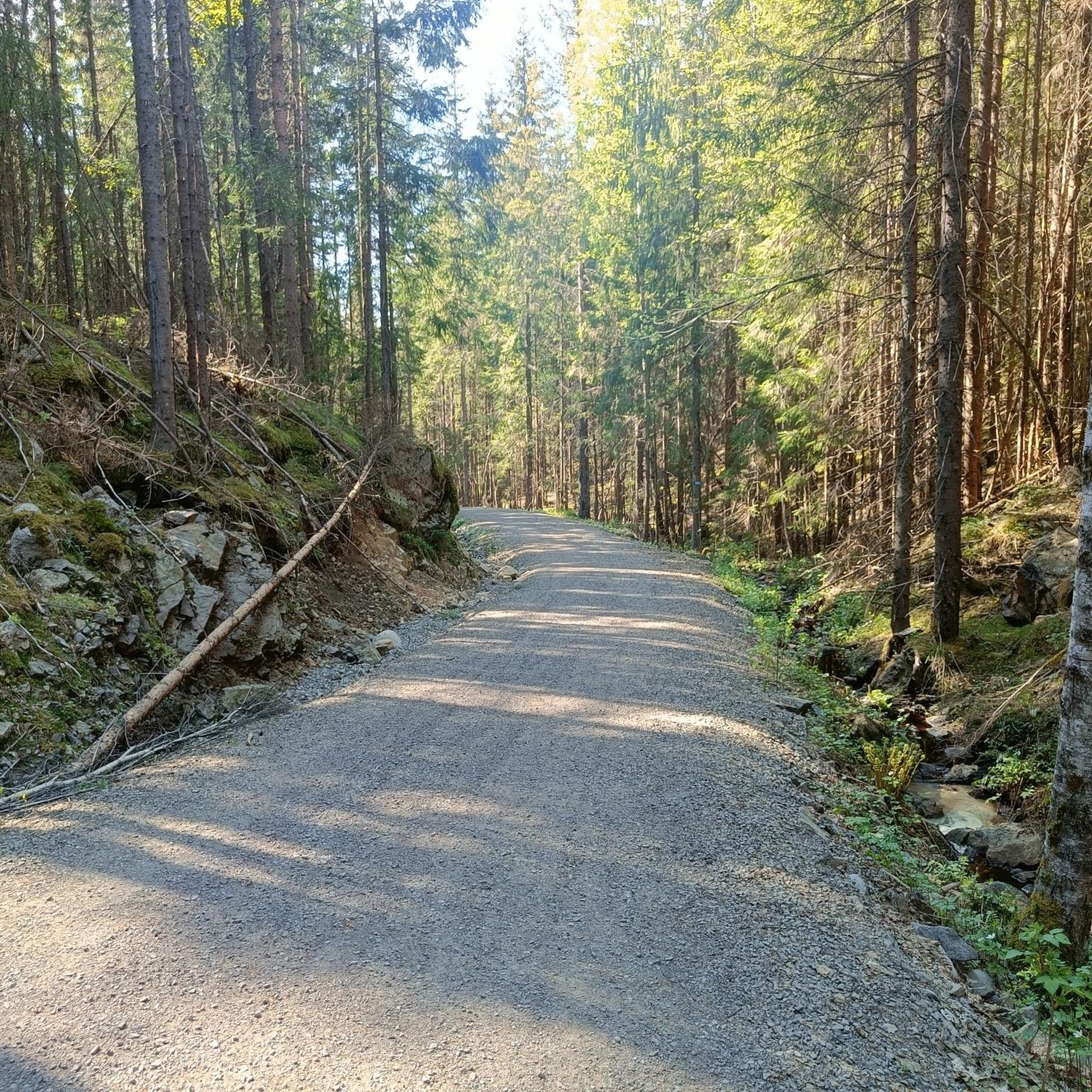
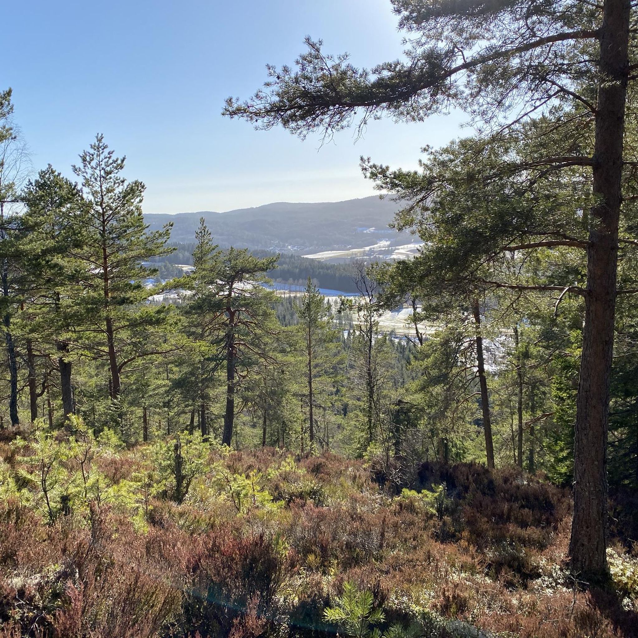
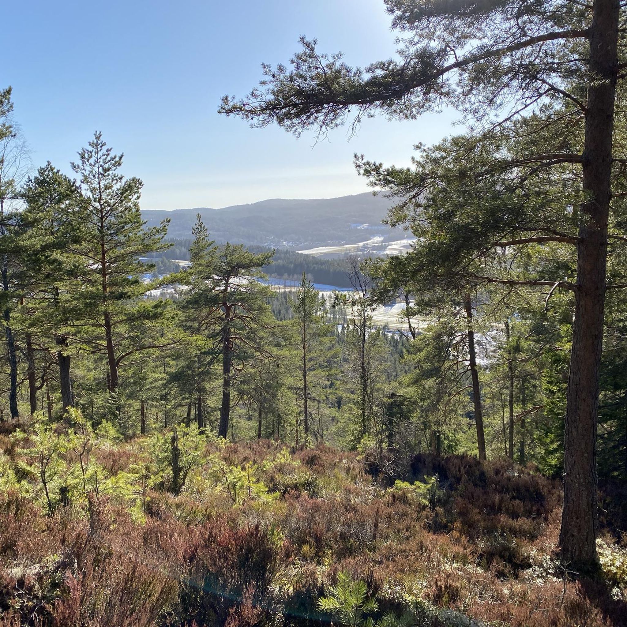
Road cycling in Prekestolen Og Ryggevanna Naturreservat offers routes through diverse landscapes within the Romeriksåsene hills. The area features varied topography, including smaller ridges and slopes, alongside extensive blueberry spruce and pine forests. Road cyclists can expect to encounter water bodies such as Nordre and Søndre Ryggevann, with routes often traversing well-paved surfaces. The bedrock primarily consists of granite, contributing to the region's natural character.
Best road cycling routes in Prekestolen Og Ryggevanna Naturreservat
- The most popular road cycling route is Scenic Country Road – Lovers' Bridge loop from Haugeråsen, a 21.8 miles (35.0 km) trail that takes 1 hour 33 minutes to complete. This moderate route offers varied topography and scenic country roads.
- Another top favourite among local road cyclists is Roadbike loop from Gjerdrum, a moderate 16.1 miles (25.9 km) path. This route loops through the natural reserve, passing through forested areas.
- Local road cyclists also love the Roadbike loop from Hungerholt, a 10.8 miles (17.4 km) trail leading through the local landscape, often completed in about 55 minutes.
- Road cycling in Prekestolen Og Ryggevanna Naturreservat is defined by diverse terrain, blueberry spruce forests, and pine forests, with routes often passing by water bodies like Nordre and Søndre Ryggevann. The network offers options for different ability levels, from moderate loops to longer rides.
- The routes in Prekestolen Og Ryggevanna Naturreservat are highly rated by the komoot community with an average score of 4.25 stars from more than 5 reviews. More than 1400 road cyclists have used komoot to explore Prekestolen Og Ryggevanna Naturreservat's varied terrain.
Last updated: July 10, 2026
9
riders
35.0km
01:34
340m
340m
Moderate road ride. Good fitness required. Mostly well-paved surfaces and easy to ride.
8
riders
25.9km
01:15
300m
300m
Moderate road ride. Good fitness required. Mostly well-paved surfaces and easy to ride.

Sign up for free
5.0
(1)
5
riders
17.9km
00:58
220m
220m
Moderate road ride. Great for any fitness level. Some segments of this route may be unpaved and difficult to ride.
25
riders
45.5km
01:59
360m
360m
Moderate road ride. Good fitness required. Mostly well-paved surfaces and easy to ride.
22
riders
32.0km
01:30
350m
350m
Moderate road ride. Good fitness required. Mostly well-paved surfaces and easy to ride.
Get access to more routes and recommendations from other explorers.
Sign up for free
Already have an account?
Our route recommendations are based on thousands of hikes, rides, and runs completed by other people on komoot.
Start today with a free account
Your next adventure awaits.
Login or Signup
Popular around Prekestolen Og Ryggevanna Naturreservat
Tips from the Community

The Lillestrøm Bicycle Highway (Sykkelstamveien) is one of Norway’s showcase cycling routes, built as a fast, direct commuter corridor linking Lillestrøm with Oslo. It’s wide, smooth and fully separated from traffic, making it both safe and stress-free.
1
0

Location at the center of a circular route that can be done both on foot and by bicycle
0
0

Frequently Asked Questions
How many road cycling routes are available in Prekestolen Og Ryggevanna Naturreservat?
There are over 35 road cycling routes in Prekestolen Og Ryggevanna Naturreservat, offering a variety of options for different skill levels and preferences.
What are the typical difficulty levels for road cycling routes in the reserve?
The majority of road cycling routes in Prekestolen Og Ryggevanna Naturreservat are classified as moderate, with 27 routes falling into this category. There are also 5 easier routes and 3 more challenging options available.
Are there any beginner-friendly road cycling routes in Prekestolen Og Ryggevanna Naturreservat?
Yes, there are several easier routes suitable for beginners or those looking for a less strenuous ride. One such option is the Roadbike loop from Hungerholt, which is 17.4 km long and often completed in under an hour.
What kind of landscapes can I expect to see while road cycling in the reserve?
Road cyclists can expect diverse landscapes, including varied topography with smaller ridges and steep slopes, extensive blueberry spruce and pine forests, and water bodies such as Nordre and Søndre Ryggevann. The bedrock is primarily granite, adding to the region's natural character.
Are there any longer or more challenging road cycling routes for experienced riders?
For experienced riders seeking a longer challenge, routes like the Roadbike loop from Brånås offer a substantial ride of over 58 km with significant elevation gain. There are 3 routes classified as difficult in the reserve.
What do other road cyclists say about the routes in Prekestolen Og Ryggevanna Naturreservat?
The routes in Prekestolen Og Ryggevanna Naturreservat are highly rated by the komoot community, with an average score of 4.25 stars from more than 9 reviews. Over 1400 road cyclists have used komoot to explore the area, often praising its varied terrain and well-paved surfaces.
Are most road cycling routes in the reserve circular loops?
Yes, many of the popular road cycling routes in Prekestolen Og Ryggevanna Naturreservat are designed as circular loops, allowing you to start and end at the same point. Examples include the Scenic Country Road – Lovers' Bridge loop from Haugeråsen and the Roadbike loop from Gjerdrum.
What is the best season for road biking in Prekestolen Og Ryggevanna Naturreservat?
The best season for road biking in Prekestolen Og Ryggevanna Naturreservat is typically from spring through autumn, when the weather is milder and the roads are clear of snow and ice. Always check local weather conditions before heading out.
Are there any specific natural features or viewpoints along the road cycling routes?
While cycling, you'll encounter the natural beauty of the Romeriksåsene hills, including dense blueberry spruce and pine forests. Routes often pass by the serene Nordre and Søndre Ryggevann lakes, offering picturesque views of the water bodies amidst the forest.
Are there any restrictions for road cycling within Prekestolen Og Ryggevanna Naturreservat?
Prekestolen Og Ryggevanna Naturreservat is a protected area. While road cycling is generally permitted on designated roads, it's always advisable to stay on marked paths and respect the natural environment. Specific restrictions, if any, would typically be posted at reserve entrances or on official local authority websites.
What are the typical lengths of road cycling routes in Prekestolen Og Ryggevanna Naturreservat?
Route lengths vary significantly. You can find shorter loops around 17 km, such as the Roadbike loop from Hungerholt, to longer rides exceeding 58 km, like the Roadbike loop from Brånås, catering to different endurance levels.
Is there parking available for road cyclists near the routes?
While specific parking locations are not detailed in the route descriptions, many routes, being loops, often start from accessible points in or near local communities like Haugeråsen, Gjerdrum, or Hungerholt. It is recommended to check the starting points of individual routes on komoot for potential parking information.
Most popular routes in Prekestolen Og Ryggevanna Naturreservat

Get inspired with the komoot mobile app


Explore more
Browse the best Road cycling routes in other regions.
