The best MTB trails in Kolsås / Dælivann Landskapsvernområde
4.6
(51)
638
riders
58
rides
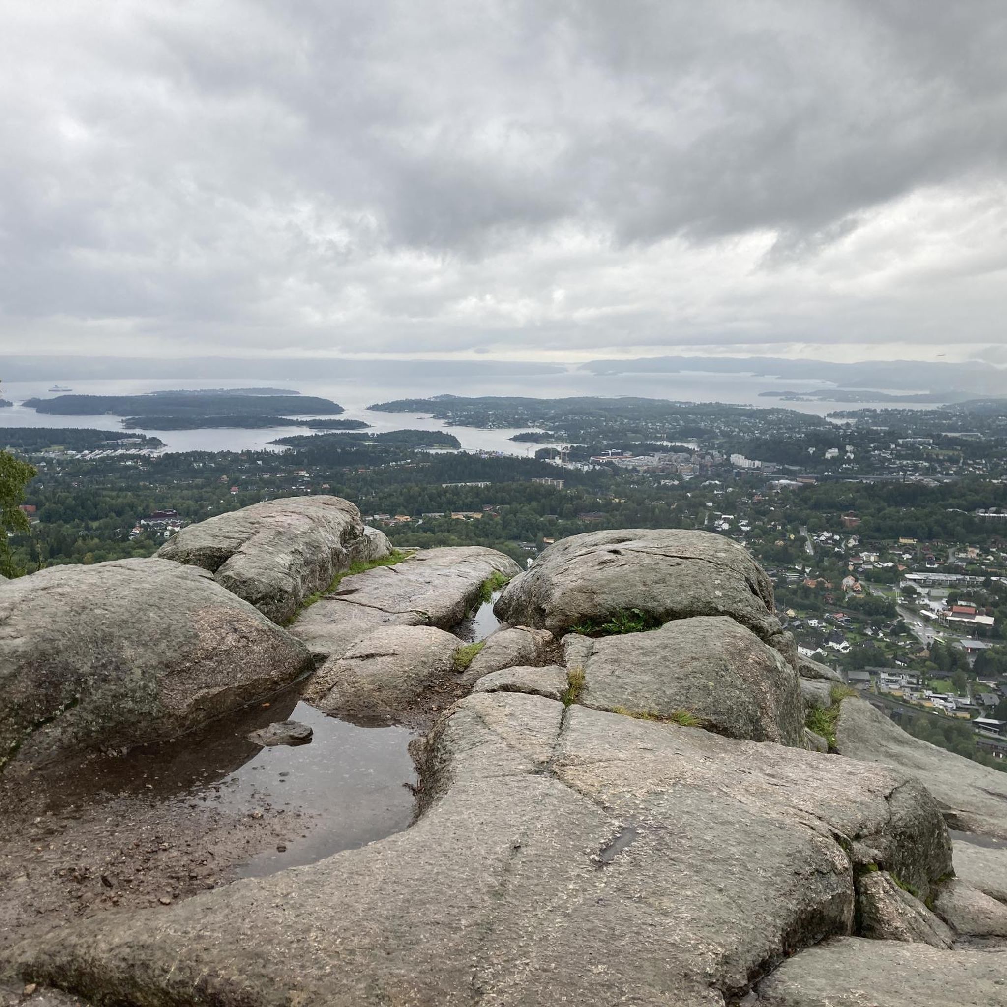
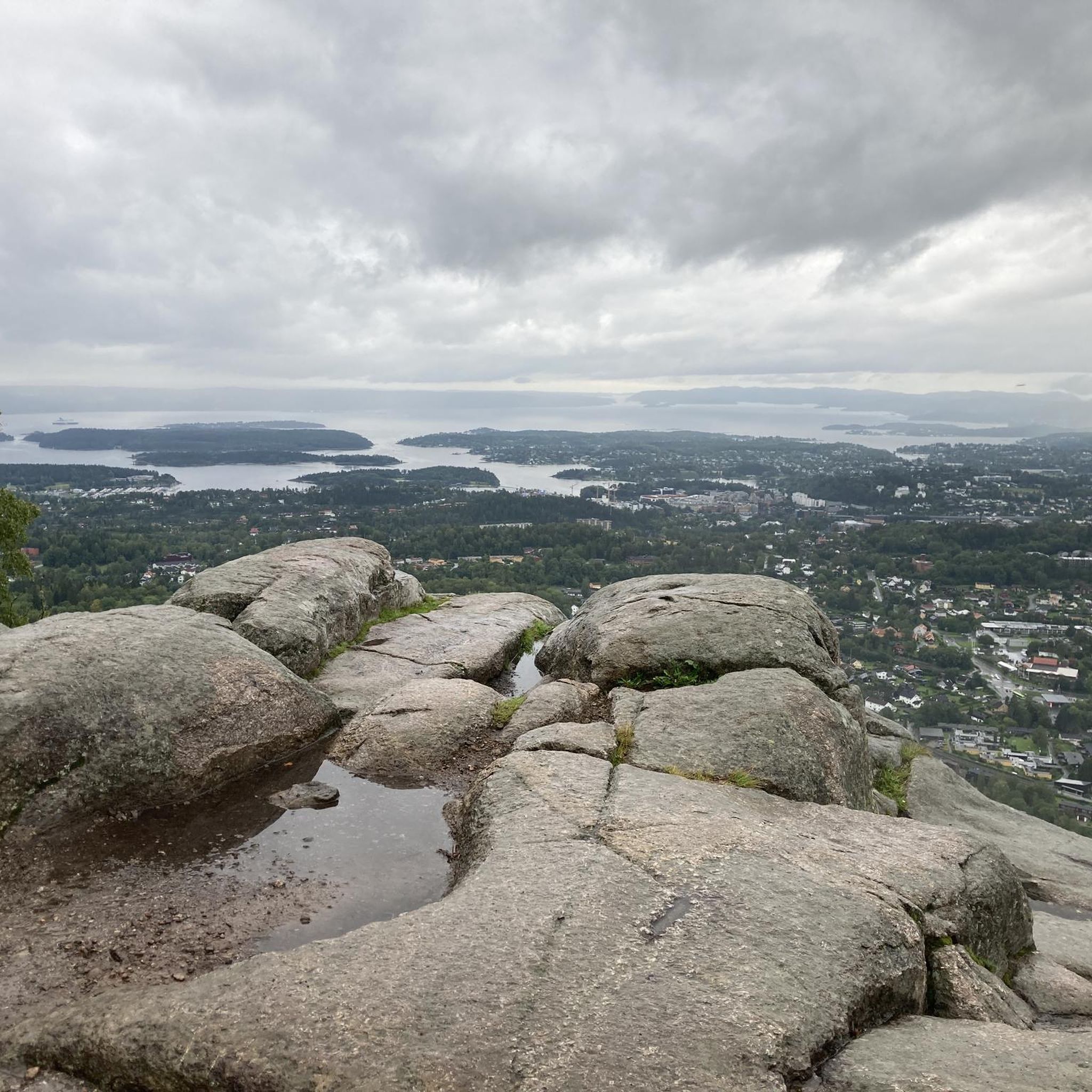
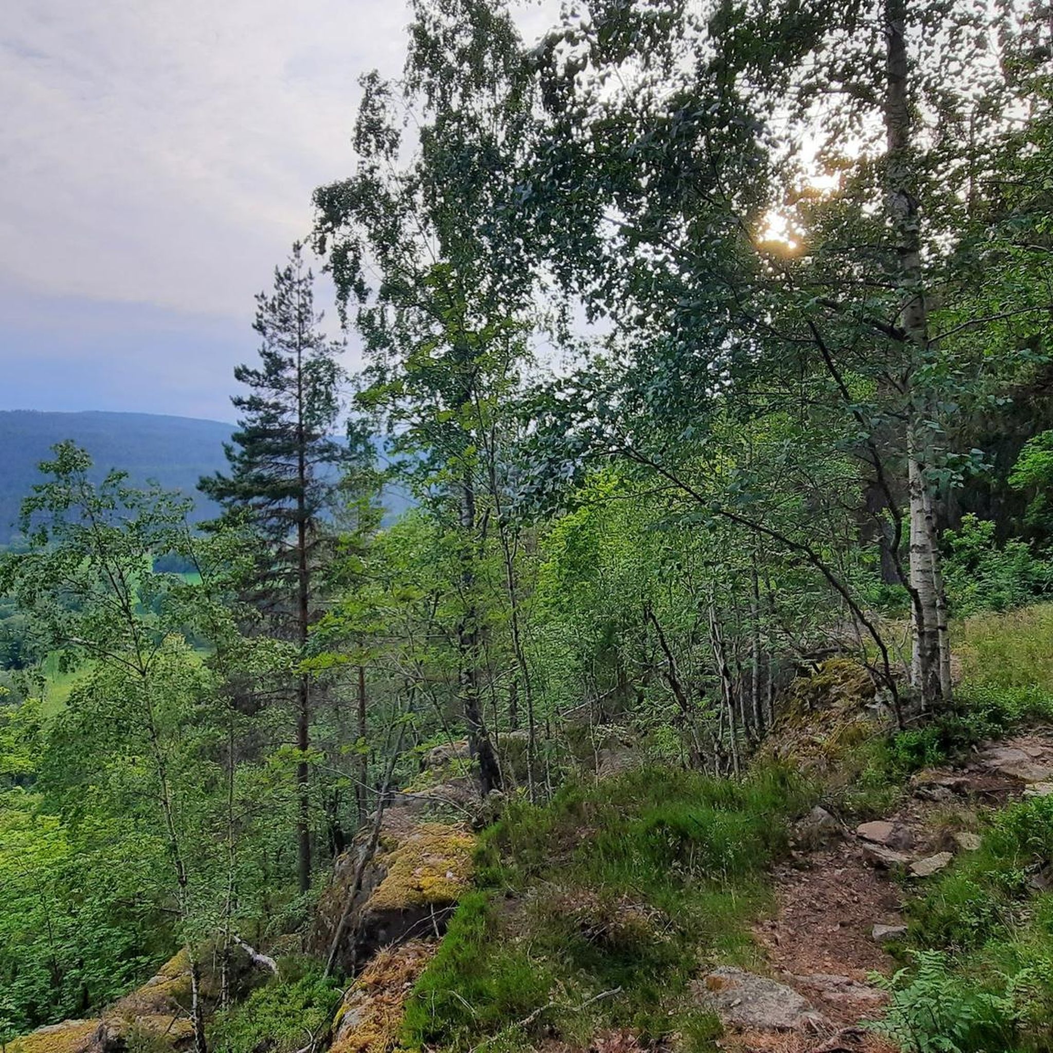
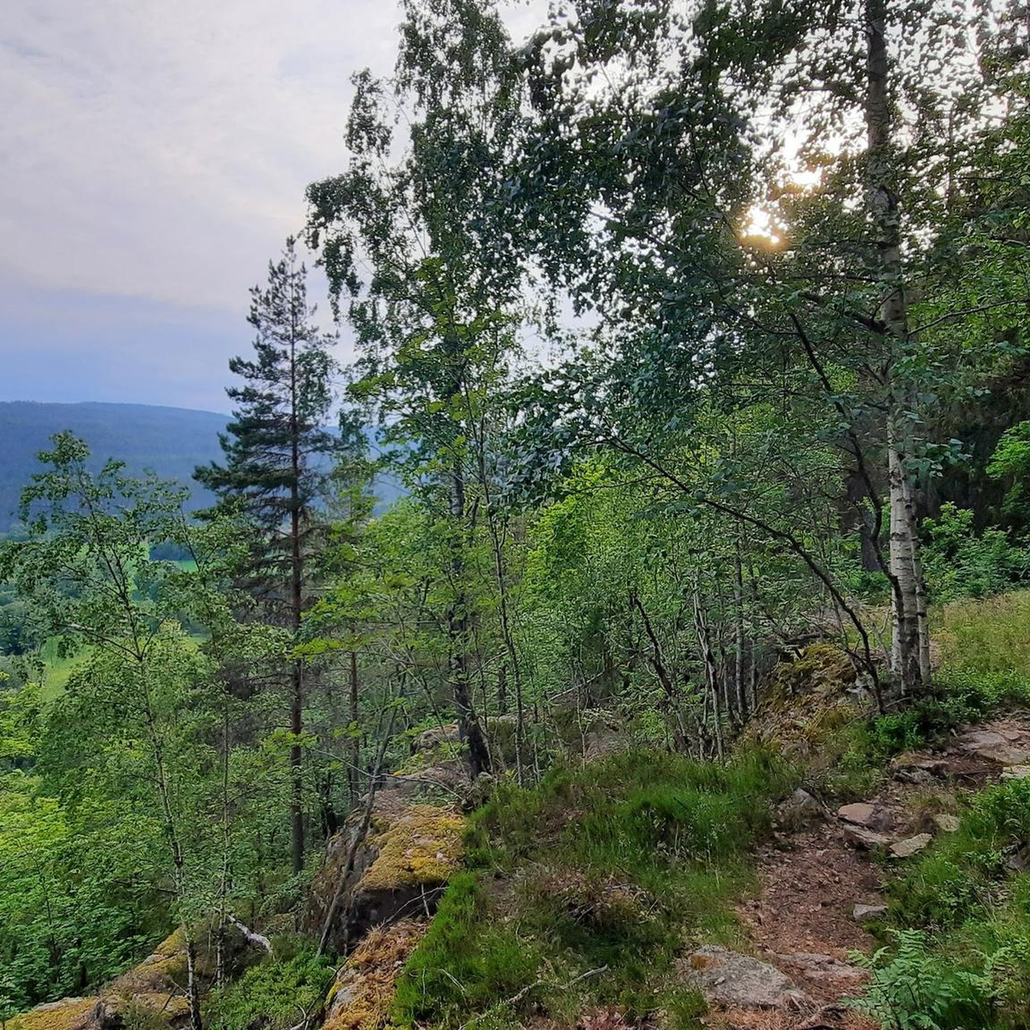
Mountain biking in Kolsås / Dælivann Landskapsvernområde offers diverse terrain across the forested Kolsås massif and around Dælivann lake. The region features dramatic steep cliffs to the south and west, providing challenging sections and scenic viewpoints. To the east, the landscape flattens into areas of pastures, arable land, and forests. This varied topography supports a range of mountain bike trails, from technical singletracks to more gentle routes.
Best mountain bike trails in Kolsås / Dælivann Landskapsvernområde
- The most popular mountain…
Last updated: October 30, 2026
11
riders
48.1km
03:16
750m
750m
Moderate mountain bike ride. Good fitness required.
5.0
(1)
3
riders
16.0km
01:05
250m
250m
Easy mountain bike ride.

3
riders
Moderate mountain bike ride. Good fitness required.
3.0
(1)
4
riders
21.5km
01:44
400m
400m
Moderate mountain bike ride. Good fitness required.
4.7
(6)
57
riders
55.1km
04:26
930m
930m
Hard mountain bike ride. Very good fitness required. Advanced riding skills necessary.
Get access to more routes and recommendations from other explorers.
Already have an account?
Our route recommendations are based on thousands of hikes, rides, and runs completed by other people on komoot.
Start today with a free account
Your next adventure awaits.
Popular around Kolsås / Dælivann Landskapsvernområde
Tips from the Community

This is a pilgrim shelter located right on the Gudbrandsdalsleden and Tunsbergleden routes in Bærum. The hut offering basic accommodation with sleeping spots in the loft, shower and toilet facilities.
0
0

Beautifully crafted artwork. When you walk around it, it seems the sculpture does not really exist. Check it out yourself.
1
0
See the divers from different angles that will leave you completely fascinated. A similar sculpture can be admired in Oslo harbour opposite the town hall.
1
0

Many rare plant species can be found in the area around Gyrihaugen and throughout the Mørgonga Nature Reserve, particularly alpine and heat-loving plants. One special feature is the European yew (Taxus baccata), whose flexible wood was once used for bows and crossbows 🏹
2
0

Rising 682 meters above sea level, Gyrihaugen rewards hikers with one of the best panoramic views in the Ringerike region. From the summit, you can see Steinsfjorden, the rolling forests of Nordmarka, and even the distant mountains on clear days.
2
0

This is not "The Queen", it is called "The Crown Prince's View".
0
0
Spectacular panoramic view, and if you are lucky, you will see daredevils running off with hanggliders.
0
0
Kari Rasmusdatter Hiran (fl. 1716), was a Norwegian farmer and war heroine. She is known for her act during the invasion of Norway by Charles XII of Sweden during the Great Northern War in 1716. She gave the Swedish army false information about the size and plans of the Norwegian army, which evidently caused the Swedish monarch to interrupt his attempt to conquer Norway and return to Sweden. A memorial stone was raised for her in 1956.
0
0
Frequently Asked Questions
How many mountain bike trails are available in Kolsås / Dælivann Landskapsvernområde?
There are over 60 mountain bike trails recorded in Kolsås / Dælivann Landskapsvernområde on komoot. These routes cater to various skill levels, with options ranging from easy loops around Dælivann lake to more challenging trails on the Kolsås massif.
What kind of terrain can I expect on mountain bike trails in Kolsås / Dælivann Landskapsvernområde?
The region offers a diverse range of terrain. You'll find challenging sections with dramatic steep cliffs on the Kolsås massif, providing technical singletracks and scenic viewpoints. Around Dælivann lake, the landscape flattens out, featuring pastures, arable land, and forests, which offer more gentle and flowing routes.
Are there any easy mountain bike trails suitable for beginners or families in the area?
Yes, Kolsås / Dælivann Landskapsvernområde has several easy trails perfect for beginners or family outings. An excellent option is the Steinsvann loop from Bærum, an easy 15.7 km path that circles the Dælivann lake area, known for its rich vegetation and birdlife. There are 7 easy routes in total.
What are some challenging mountain bike routes for experienced riders?
For experienced mountain bikers seeking a challenge, the region offers difficult routes with significant elevation changes. A notable option is the Santa Cruise Enduro Trail – Crown Prince's Viewpoint loop from Kolsås, which spans 54.7 km and involves over 900 meters of elevation gain. There are 13 difficult routes available.
What do other mountain bikers enjoy most about the trails in Kolsås / Dælivann Landskapsvernområde?
The trails in Kolsås / Dælivann Landskapsvernområde are highly rated by the komoot community, with an average score of 4.7 stars from over 40 reviews. Riders often praise the varied landscapes, from technical singletracks on the Kolsås massif to the serene paths around Dælivann lake, as well as the stunning views and well-maintained natural trails.
Are there any circular mountain bike routes in Kolsås / Dælivann Landskapsvernområde?
Yes, many of the mountain bike trails in the area are designed as loops, allowing you to start and end at the same point. Examples include the popular Engeråsen – Maribråtaåsen loop from Bærum (38.7 km) and the Steinsvann – Lomma loop from Gjettum (26.7 km), which leads through varied mixed forest.
What natural attractions or viewpoints can I find along the mountain bike trails?
The Kolsås massif offers dramatic steep cliffs with scenic vistas, while the Dælivann lake area is rich in diverse vegetation and birdlife. The geological makeup of the Kolsås plateau is also internationally recognized for its fossiliferous Silurian sediments and Permian lavas. You'll encounter varied forests, including noble deciduous forests and calcareous pine forests, making for a picturesque ride.
Are there any historical or cultural sights to explore while mountain biking?
Yes, the area is rich in history. You can find ancient rock carvings from the Bronze and Iron Ages at Dalbo, and evidence of old farm names, two ancient strongholds, and grave mounds. A cultural trail with information signs allows visitors to explore these monuments, geology, and diverse flora and fauna on a roughly 3 km round trip, which can be incorporated into your ride.
What is the best time of year for mountain biking in Kolsås / Dælivann Landskapsvernområde?
The best time for mountain biking is typically from spring through autumn, when the trails are free of snow and ice. The diverse vegetation is particularly vibrant in spring and autumn, offering beautiful scenery. Always check local weather and trail conditions before heading out, especially after heavy rain, as some sections might become muddy.
Is public transport available to access the mountain bike trails?
Kolsås / Dælivann Landskapsvernområde is generally accessible by public transport, particularly to areas like Bærum and Gjettum, which serve as starting points for many routes. It's advisable to check local bus or train schedules to plan your journey to the specific trailhead you intend to use.
Are there any specific rules or permits required for mountain biking in the Kolsås / Dælivann Landskapsvernområde?
As a protected landscape area (Landskapsvernområde), it's important to respect local regulations. Generally, mountain biking is permitted on designated trails and paths. Always stay on marked trails, avoid disturbing wildlife, and practice Leave No Trace principles. No specific permits are typically required for recreational mountain biking, but always check for any updated local guidelines.
Can I find places to eat or stay near the mountain bike trails?
While the immediate trail areas are natural and protected, the surrounding municipalities like Bærum offer various amenities. You can find cafes, restaurants, and accommodation options in nearby towns and villages, providing convenient places to refuel and relax after your ride.
Most popular routes in Kolsås / Dælivann Landskapsvernområde

Get inspired with the komoot mobile app


Explore more
Browse the best MTB trails in other regions.
