The best road cycling routes in Sandgrovbotn-Mardalsbotn Biotopvernområde
56
riders
4
rides
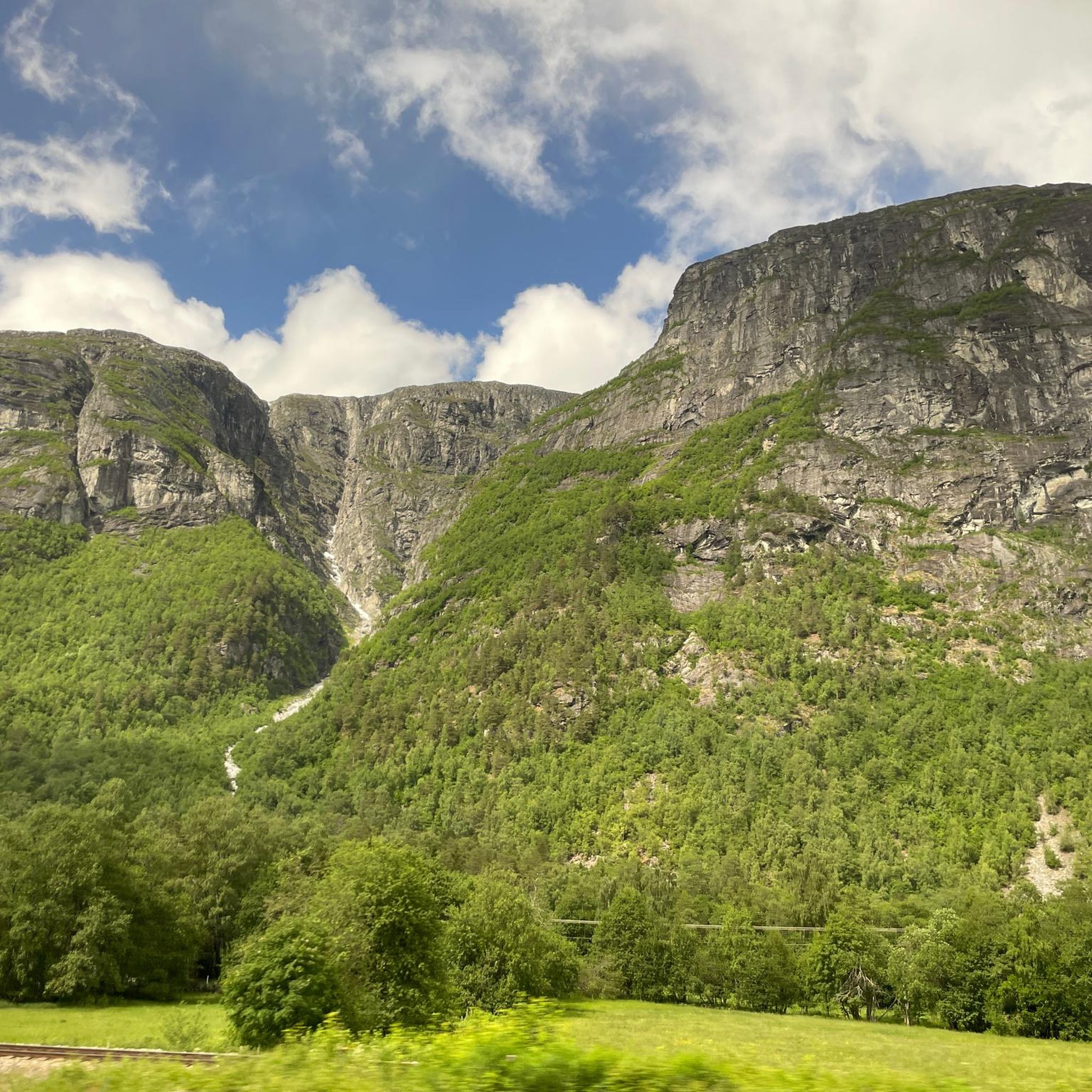
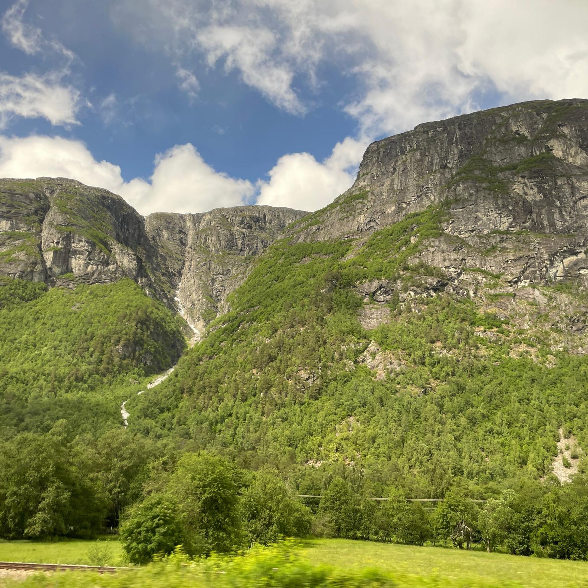
Road cycling routes in Sandgrovbotn-Mardalsbotn Biotopvernområde traverse a landscape characterized by towering mountains, deep valleys, and the long, narrow Eikesdalsvatnet lake. The region, part of Norway's Romsdal area, features dramatic elevation changes and offers views of impressive natural features like the Mardalsfossen waterfall. Road cycling here involves routes that wind through lush valleys and ascend into high mountain terrain, providing diverse riding experiences.
Best road cycling routes in Sandgrovbotn-Mardalsbotn Biotopvernområde
- The most popular road cycling route is Roadbike loop from…
Last updated: July 10, 2026
21
riders
41.9km
02:07
490m
490m
Moderate road ride. Good fitness required. Some segments of this route may be unpaved and difficult to ride.
15
riders
23.0km
01:07
260m
260m
Easy road ride. Great for any fitness level. Mostly well-paved surfaces and easy to ride.

Sign up for free
6
riders
40.3km
03:01
540m
540m
Moderate road ride. Good fitness required. Some segments of this route may be unpaved and difficult to ride.
14
riders
35.5km
01:46
400m
400m
Moderate road ride. Good fitness required. Mostly well-paved surfaces and easy to ride.
Our route recommendations are based on thousands of hikes, rides, and runs completed by other people on komoot.
Start today with a free account
Your next adventure awaits.
Login or Signup
Popular around Sandgrovbotn-Mardalsbotn Biotopvernområde
Tips from the Community

A lovely beach with a gently sloping bottom and a few scattered seaweeds. On summer days, it's mainly frequented by Norwegians. There are public restrooms and an outdoor shower.
0
0

The museum has a modern exhibition that tells the history and development of mountaineering in a variety of ways. You can also touch and try out the equipment. The indoor climbing wall has 60 climbing routes spread over 20 anchor points. The café has space for 100 people indoors, with additional seating outside.
1
0

Museum of Norwegian Mountain Sports as well as the visitor center for Reimheimen National Park. There is also a small restaurant.
0
0

Nice little promenade with tourist information, gondola and playground.
0
0

Swimming area with benches and toilets located near the marina
0
0


A nice taster on the way to or from the Trollstigen Road. Great panorama and off the main road! There are no tourist buses there; you'll meet them again on the main road.
0
0
Frequently Asked Questions
What kind of terrain can I expect when road cycling in Sandgrovbotn-Mardalsbotn Biotopvernområde?
Road cycling in this region offers a diverse experience, characterized by towering mountains, deep valleys, and the long, narrow Eikesdalsvatnet lake. You'll find routes that wind through lush valleys and ascend into high mountain terrain, with dramatic elevation changes. While many routes feature mostly paved surfaces, some adventurous rides, like parts of the Aursjøvegen road, might include challenging mountain terrain and narrow sections.
Are there road cycling routes suitable for beginners or families in Sandgrovbotn-Mardalsbotn Biotopvernområde?
Yes, the region offers options for various ability levels. For an easier ride, consider the Roadbike loop from Isfjorden, which is 14.4 miles (23.2 km) long and offers a scenic ride through the valley landscape. This route is generally suitable for those looking for a less strenuous experience.
How challenging are the road cycling routes in Sandgrovbotn-Mardalsbotn Biotopvernområde?
The routes vary in difficulty. While there are easy loops, many routes feature varied terrain and elevation changes, requiring good to very good fitness. For example, the Isfjorden – Gotskardet loop from Hen kirke is a moderate 25.0 miles (40.3 km) path with significant elevation changes, providing a more challenging ride.
What natural attractions can I see while road cycling in Sandgrovbotn-Mardalsbotn Biotopvernområde?
The region is rich in natural beauty. You can expect views of the majestic Eikesdalen valley, the serene Eikesdalsvatnet lake, and the dramatic Romsdal Mountains. A highlight is the Mardalsfossen waterfall, one of the world's highest free-falling waterfalls. The Aursjøvegen road itself is known for its spectacular views and dramatic scenery, including the viewpoint at Aurstaupet.
Can I cycle to Mardalsfossen waterfall?
Yes, you can cycle part of the way to Mardalsfossen waterfall. A 2 km long, marked path leads to the waterfall, and the initial 1.4 kilometers of this trail are easily accessible and can be cycled. The waterfall is particularly spectacular during its water discharge season from June 20th to August 20th. For more information, you can visit Visit Norway.
When is the best time of year for road cycling in Sandgrovbotn-Mardalsbotn Biotopvernområde?
The best time for road cycling in this region is typically during the warmer months, when roads are clear of snow and ice. The Mardalsfossen waterfall, a major attraction, has its water discharge season from June 20th to August 20th, making this period particularly scenic. Always check local weather and road conditions before planning your trip, as mountain roads can be affected by weather.
Are there circular road cycling routes available in the region?
Yes, there are several circular road cycling routes. For instance, the Roadbike loop from Isfjorden and the Kammen Beach loop from Isfjorden are both popular circular options that allow you to start and end in the same location.
What are some popular road cycling routes in Sandgrovbotn-Mardalsbotn Biotopvernområde?
Local road cyclists enjoy routes such as the Roadbike loop from Isfjorden, which is an easy ride through the valley. Another top favorite is the moderate Isfjorden – Gotskardet loop from Hen kirke, offering varied terrain. The Kammen Beach loop from Isfjorden is also well-loved for its scenic journey through the local landscape.
Is there parking available near the road cycling routes?
While specific parking locations for each route are not detailed here, the general 'right to roam' in Norway allows access to many areas. For routes starting in towns like Isfjorden, you can typically find parking facilities. It's advisable to research parking options in the specific starting points of your chosen routes before your trip.
What is the Aursjøvegen road and is it suitable for road cycling?
The Aursjøvegen road, often called 'Norway's wildest detour,' runs between Eikesdal and Sunndalsøra. It is celebrated for its spectacular views, dramatic scenery, steep ascents, and hairpin bends. While it offers an adventurous ride through high mountains and open landscapes, parts of it are known for challenging mountain terrain and narrow sections. It is a significant attraction for road cyclists seeking a unique and demanding experience.
Are there any viewpoints along the road cycling routes in the region?
Yes, the region is full of stunning vistas. Along the Aursjøvegen road, Aurstaupet offers a particularly spectacular viewpoint, providing breathtaking perspectives of the dramatic scenery. Many routes also offer ever-changing views of the Eikesdalen valley and the surrounding Romsdal mountains as you climb.
Most popular routes in Sandgrovbotn-Mardalsbotn Biotopvernområde

Get inspired with the komoot mobile app


Explore more
Browse the best Road cycling routes in other regions.
