The best walks and hikes in Sandgrovbotn-Mardalsbotn Biotopvernområde
4.5
(248)
1,925
hikers
30
hikes
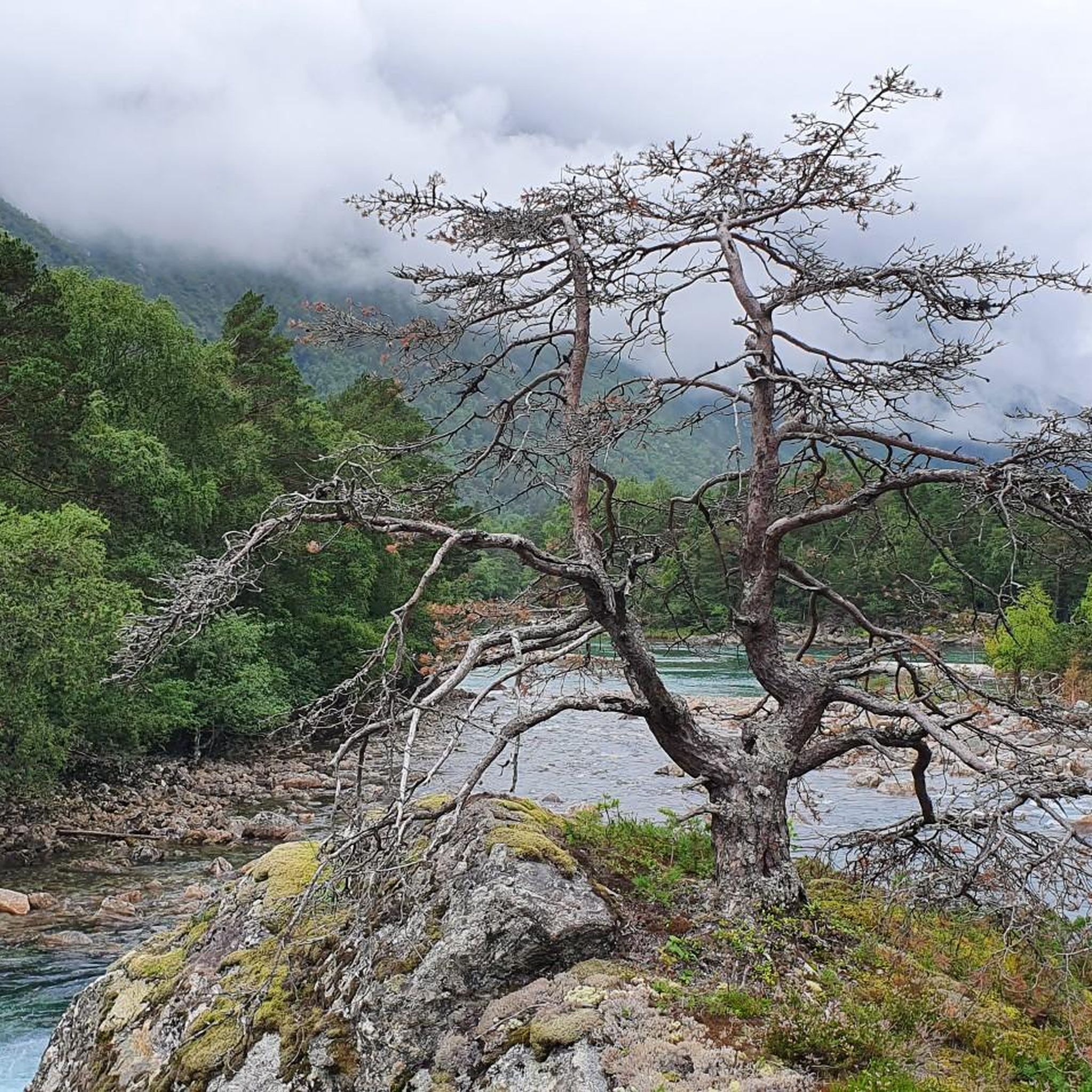
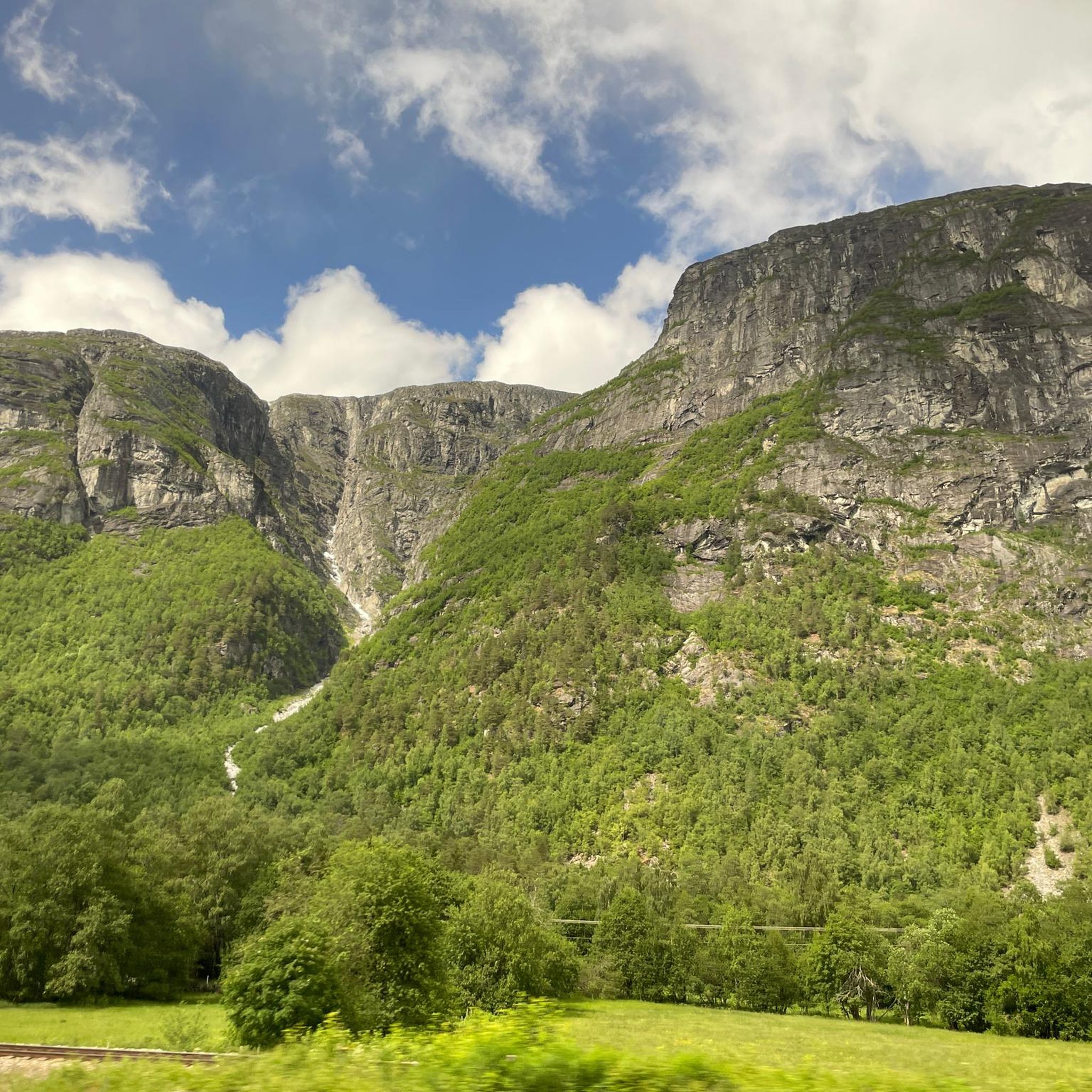
Hiking in Sandgrovbotn-Mardalsbotn Biotopvernområde offers diverse terrain within Norway's Møre og Romsdal county. The region features deep, narrow valleys, cascading waterfalls, and rivers connecting mountains to fjords. Characterized by a cross-section of Norwegian mountain landscape, it includes dramatic peaks and the prominent Mardalsfossen waterfall. The geological makeup primarily consists of Precambrian gneiss and granite, providing varied natural environments for exploration.
Best hiking trails in Sandgrovbotn-Mardalsbotn Biotopvernområde
- The most popular hiking route is Mardalstjonna loop from Eresfjord, an easy 2.1 miles (3.3 km) trail that takes about 1 hour to complete. This route offers a gentle walk through the region's natural surroundings.
- Another top favourite among local hikers is Mardalsfossen Trail, an easy 2.2 miles (3.6 km) path. This trail leads directly to the base of the impressive Mardalsfossen waterfall, offering close-up views of the cascade.
- Local hikers also love the Saufonnin – Gluterfossen loop from Veistad, a 5.6 miles (8.9 km) trail leading through varied mountain scenery, often completed in about 4 hours.
- Hiking in Sandgrovbotn-Mardalsbotn Biotopvernområde is defined by deep valleys, cascading waterfalls, and diverse mountain scenery. The network offers options for different ability levels, from easy walks to more challenging ascents.
- The routes in Sandgrovbotn-Mardalsbotn Biotopvernområde are highly rated by the komoot community with an average score of 4.5 stars from more than 200 reviews. More than 1800 hikers have used komoot to explore Sandgrovbotn-Mardalsbotn Biotopvernområde's varied terrain.
Last updated: July 1, 2026
5.0
(1)
14
hikers
3.33km
01:00
110m
110m
Easy hike. Great for any fitness level. Easily-accessible paths. Suitable for all skill levels.
3
hikers
8.95km
03:59
830m
830m
Moderate hike. Good fitness required. Easily-accessible paths. Suitable for all skill levels.

Sign up for free
4.8
(61)
429
hikers
3.63km
01:12
190m
190m
Hike the easy 2.3-mile Mardalsfossen Trail in Mardalen Nature Reserve to experience one of Europe's highest free-falling waterfalls.
4.8
(10)
61
hikers
9.53km
02:58
340m
340m
Moderate hike. Good fitness required. Easily-accessible paths. Suitable for all skill levels.
3.0
(1)
6
hikers
7.28km
01:56
70m
70m
Easy hike. Great for any fitness level. Easily-accessible paths. Suitable for all skill levels.
Get access to more routes and recommendations from other explorers.
Sign up for free
Already have an account?
Our route recommendations are based on thousands of hikes, rides, and runs completed by other people on komoot.
Start today with a free account
Your next adventure awaits.
Login or Signup
Popular around Sandgrovbotn-Mardalsbotn Biotopvernområde
Tips from the Community

Nice short path to the waterfall
0
0
Probably a magnificent waterfall if it has rained the days before
0
0

There are delicious hot docks here 👌🤗
19
0
If you dare to come closer, we will feel the power and the force of the water, so take rain jackets with you and don't leave them in the car because the sun is shining, you will need them. But it is incredible to feel the waterfall like this. 🤗
19
0
The waterfall shuts off the water in October and turns it on again in April, crazy . That's I believe the trade-off from the 1970 protests where it would have fallen victim entirely to energy gain.
18
0
The approximately 4.5-kilometer tour can be varied: the beautiful gravel path along the mighty hazelnut trees or, for those who prefer a more adventurous route, through the primeval forest. Both trails merge and end at Mardalsfossen.👌🤗❣️
19
0

Mardalsfossen is a multi-tiered waterfall fed by a reservoir at the top of the plateau. It can be easily reached from the nearby hiking car park.
2
0

Frequently Asked Questions
What kind of terrain can I expect when hiking in Sandgrovbotn-Mardalsbotn Biotopvernområde?
The region offers a diverse cross-section of Norwegian mountain landscape. You'll find deep, narrow valleys, cascading waterfalls, and rivers connecting the mountains to the fjords. The geological makeup primarily consists of Precambrian gneiss and granite, creating varied natural environments for exploration.
How many hiking trails are available in Sandgrovbotn-Mardalsbotn Biotopvernområde?
There are over 30 hiking trails in Sandgrovbotn-Mardalsbotn Biotopvernområde, catering to various fitness levels. This includes 9 easy routes, 10 moderate routes, and 11 more challenging options.
Are there any easy, family-friendly hikes in the area?
Yes, several trails are suitable for families and those looking for an easier walk. The Mardalstjonna loop from Eresfjord is an easy 3.3 km route, and the Mardalsfossen Trail, an easy 3.6 km path, leads directly to the impressive Mardalsfossen waterfall.
What is the best time to visit Mardalsfossen waterfall?
To witness Mardalsfossen waterfall at its full flow, plan your visit between June 20 and August 20. During this period, the waterfall is not regulated for hydroelectric power, offering its most spectacular display. Rain gear is recommended due to the mist near the cascade. You can find more information about the waterfall at Visit Norway.
Are there any circular hiking routes in Sandgrovbotn-Mardalsbotn Biotopvernområde?
Yes, the region offers several circular routes. For an easy option, consider the Mardalstjonna loop from Eresfjord. If you're looking for a more challenging experience, the Saufonnin – Gluterfossen loop from Veistad is a moderate 8.9 km trail through varied mountain scenery.
What do other hikers enjoy most about the trails in Sandgrovbotn-Mardalsbotn Biotopvernområde?
The trails in Sandgrovbotn-Mardalsbotn Biotopvernområde are highly rated by the komoot community, with an average score of 4.5 stars from over 200 reviews. Hikers often praise the stunning natural features, particularly the dramatic waterfalls and the diverse mountain scenery.
Are there any moderate hikes for those seeking a bit more challenge?
Absolutely. For a moderate challenge, the Mardalsfossen Waterfall – Mardalsfossen loop from Bjorli is a 9.5 km route that requires good fitness but offers accessible paths and rewarding views.
What are some notable natural features or landmarks to look out for?
The most prominent natural feature is Mardalsfossen, one of the world's highest free-falling waterfalls. The region is also characterized by picturesque deep valleys, such as the Romsdalen valley, and the Rauma river, all set against a backdrop of dramatic mountain peaks.
Is there a hike that offers close-up views of Mardalsfossen waterfall?
Yes, the Mardalsfossen Trail is an easy 3.6 km path that leads directly to the base of the waterfall, allowing you to experience its power and scale up close. The hike typically takes about 30-45 minutes one way.
Are there any longer, more challenging hikes available?
For those seeking a greater test, trails like the Saufonnin – Gluterfossen loop from Veistad offer longer distances and more significant elevation gain, providing a rewarding experience for experienced hikers.
What kind of vegetation and environment can I expect on the trails?
Many trails, particularly those leading to Mardalsfossen, wind through lush, primeval forest-like vegetation. The broader region features a diverse array of natural environments, from deep valleys to open mountain landscapes.
Most popular routes in Sandgrovbotn-Mardalsbotn Biotopvernområde

Get inspired with the komoot mobile app


Explore more
Browse the best Hikes in other regions.
