The best MTB trails in Maribyrnong Valley Parklands
5.0
(6)
51
riders
11
rides
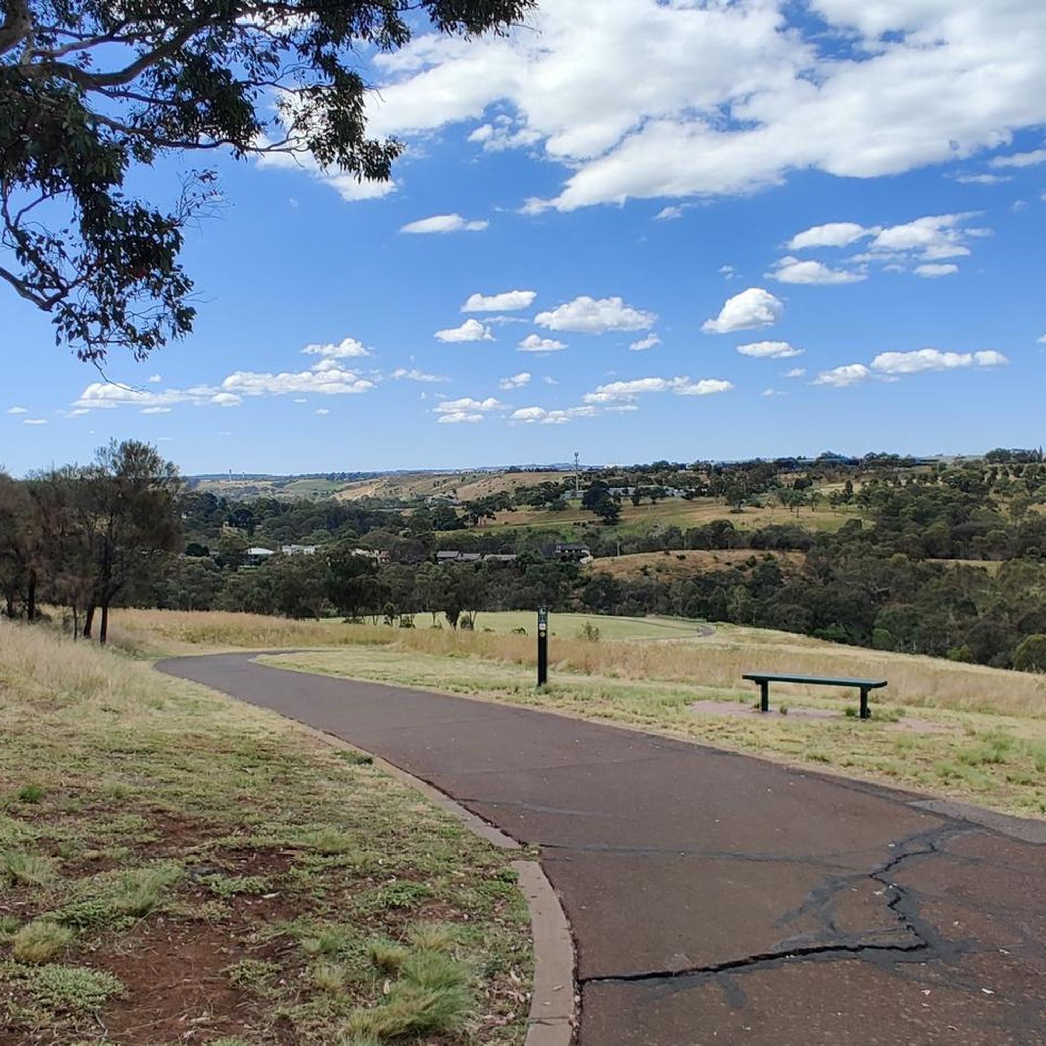
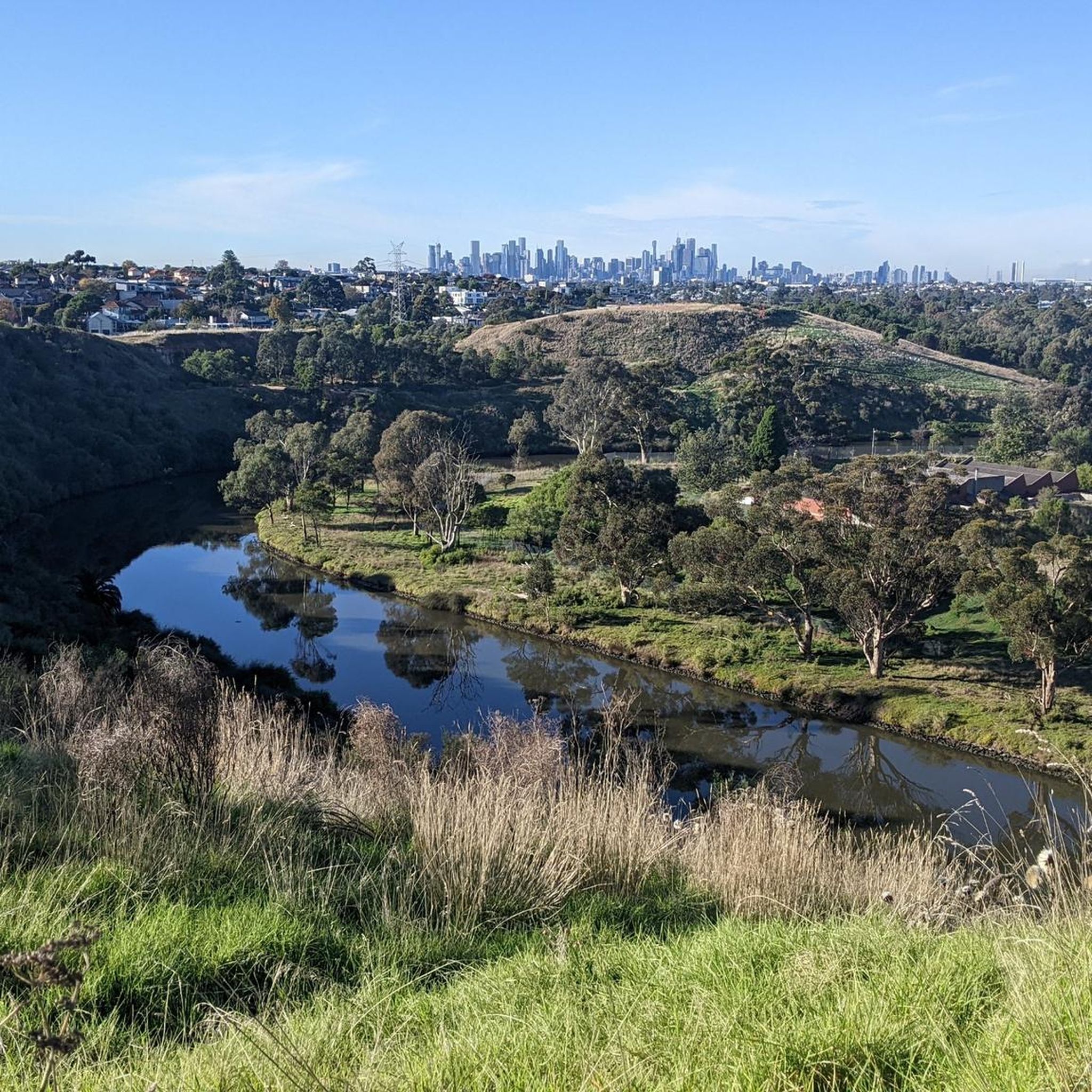
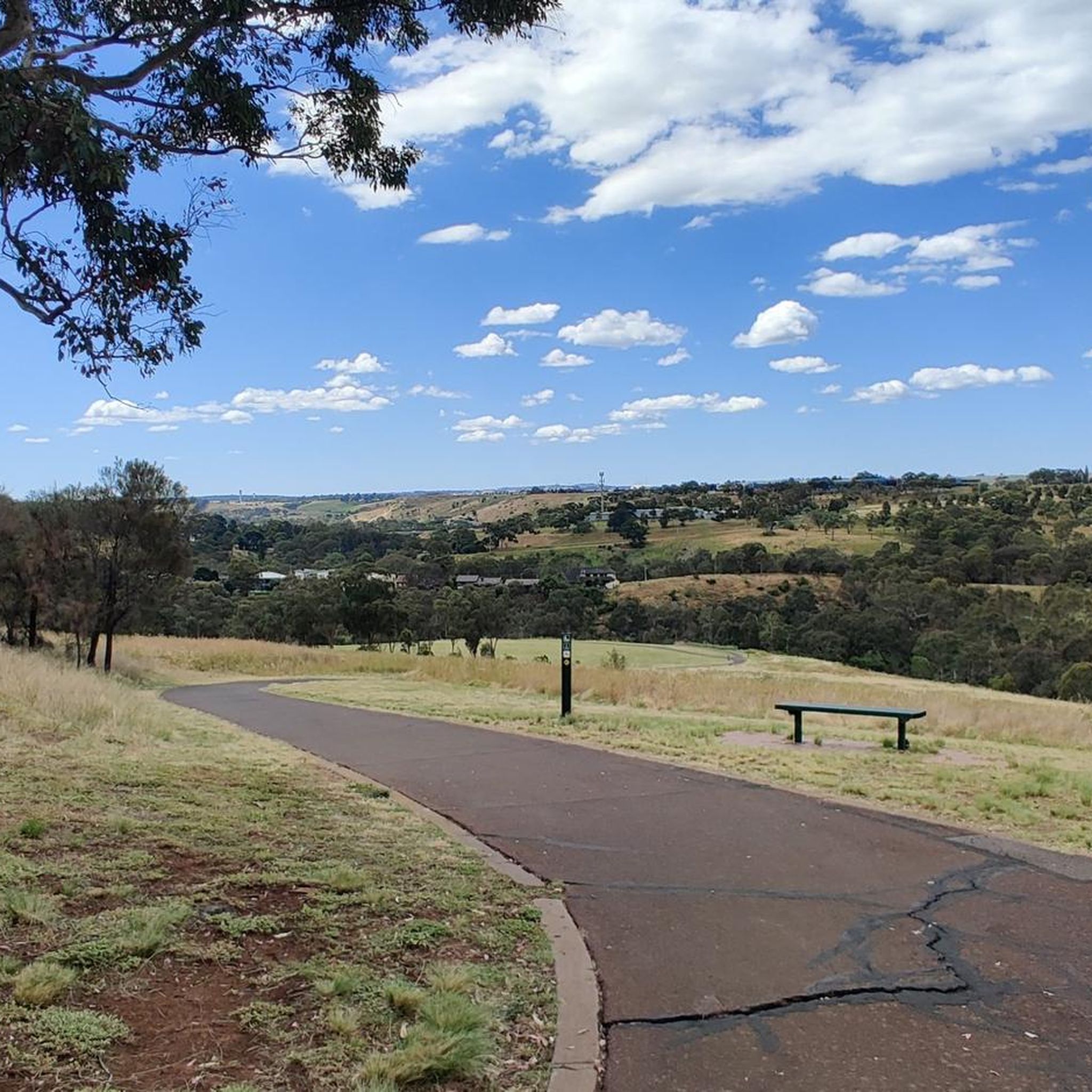
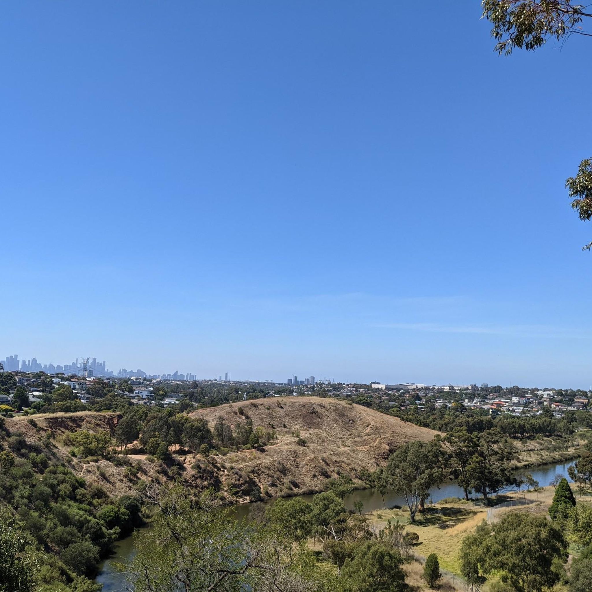
Mountain bike trails in Maribyrnong Valley Parklands traverse a landscape shaped by the Maribyrnong River, offering a mix of riverside paths and open parklands. The region features varied terrain, including dedicated cycling infrastructure like the Dixon Veloway, alongside natural reserves. Riders can expect routes that follow the river's course, providing views and access to green spaces within an urban setting. The parklands offer a network of trails suitable for exploring the valley's natural and developed features.
Best mountain bike trails…
Last updated: July 8, 2026
5
riders
44.7km
02:36
270m
270m
Moderate mountain bike ride. Good fitness required. Suitable for all skill levels.
5.0
(2)
7
riders
39.6km
02:10
200m
200m
Moderate mountain bike ride. Good fitness required. Suitable for all skill levels.

Sign up for free
6
riders
41.9km
02:18
230m
230m
Moderate mountain bike ride. Good fitness required. Suitable for all skill levels.
3
riders
30.7km
01:40
130m
130m
Easy mountain bike ride. Great for any fitness level. Suitable for all skill levels.
5.0
(1)
3
riders
62.7km
03:16
260m
260m
Moderate mountain bike ride. Good fitness required. Suitable for all skill levels.
Get access to more routes and recommendations from other explorers.
Sign up for free
Already have an account?
Our route recommendations are based on thousands of hikes, rides, and runs completed by other people on komoot.
Start today with a free account
Your next adventure awaits.
Login or Signup
Tips from the Community

This beautiful park is a revitalised floodplain wetland along the Maribyrnong River, created to improve water quality and foster local biodiversity. There are picnic areas and a network of boardwalks and shared pathways throughout the grounds, where you can explore the area and observe the diverse birdlife and native plant species up close. This peaceful, nature-focused space is connected to the Maribyrnong River Trail, making it the perfect spot for a quiet escape amid the bustling surrounding urban environment.
0
0
Maribyrnong River Trail is a great multi-use path that follows the river for roughly 25 kilometres, connecting the inner suburbs to Melbourne’s northwest. The trail combines sealed paths with riverside scenery, passing parks, wetlands, and historical sites along the way. It’s relatively flat and easy, making it an ideal route for both casual walkers and longer-distance cyclists.
0
0
Heavenly Queen Temple is a large Taoist temple dedicated to Mazu, the Chinese sea goddess, and is considered the largest of its kind in Australia. Set along the Maribyrnong River, the complex features traditional Chinese architecture inspired by Beijing’s Forbidden City, expansive gardens, and a prominent gold-painted statue of Mazu. Easily reached from nearby trails, the temple is open daily from around 9:30 am to 3:30 pm, and with free admission, it's a culturally rich and visually impressive stop along the river corridor.
0
0

Kororoit Creek is the crown jewel of the Kororoit Creek Trail. This river winds through Melbourne’s western suburbs toward Port Phillip Bay and is home to restored bushland, grassy floodplains, and urban green spaces. The trail is flat and paved, but keep an eye on updated trail conditions, as sections may be prone to flooding after heavy rain.
0
1
Located along the Kororoit Creek Trail, Nature’s Bounty Mural is a colorful mural depicting native plants, wildlife, and flowing organic shapes that honor the ecosystem of Kororoit Creek. The mural lights up the area under the overpass and creates a beautiful backdrop for a photo as well.
2
0
Anglers Tavern is a waterfront bistro with awesome river views from its dining room with big windows. It has great food, including fish, and lots of parking.
1
0
Abrahams Reserve is a quiet stretch of parkland along Merri Creek, where the trail passes through open lawns and shady trees along the water. The reserve forms part of the more expansive Merri Creek parklands, providing space to pause beside the creek and enjoy the surrounding greenery. With views across the creek corridor and easy access from the trail, it’s a peaceful spot to rest before continuing along the path.
0
0
The Merri Creek Trail runs roughly 21 kilometres, winding the course of Merri Creek through a long corridor of parklands, wetlands and native vegetation north of Melbourne’s inner suburbs. This shared path is popular for walking, running and cycling, with mostly flat sealed sections that pass beneath bridges and alongside grassy creek banks. Along the way, there are plenty of pockets of bushland and restored habitat that support a variety of birdlife and native plants. There are several access points, making it an ideal path for a short or extended walk to enjoy the outdoors.
0
0
Frequently Asked Questions
How many mountain bike trails are available in Maribyrnong Valley Parklands?
There are over 10 mountain bike trails documented in Maribyrnong Valley Parklands on komoot, offering a variety of experiences for riders.
What is the difficulty level of mountain bike trails in Maribyrnong Valley Parklands?
The trails in Maribyrnong Valley Parklands range from easy to moderate. You'll find 3 easy routes and 10 moderate routes, with no difficult trails, making it accessible for various skill levels.
Are there any family-friendly mountain bike trails in Maribyrnong Valley Parklands?
Yes, there are several easy routes suitable for families. An excellent option is the Weir and Fish Ladder loop from Sunshine, which is 26.6 km long and follows the Maribyrnong River, offering a pleasant ride for all.
What are the best routes for beginner mountain bikers in Maribyrnong Valley Parklands?
Beginners can enjoy the easier trails available. The Weir and Fish Ladder loop from Sunshine is a great starting point, offering a gentle 26.6 km ride along the river.
Where can I find parking for mountain biking in Maribyrnong Valley Parklands?
Parking availability varies depending on your chosen trailhead. For routes like the View of Melbourne Skyline – Dixon Veloway loop from St Albans, you would typically look for parking in the St Albans area, while for the Weir and Fish Ladder loop from Sunshine, parking would be found near Sunshine.
Are there any mountain bike trails that offer views of the Melbourne skyline?
Yes, the View of Melbourne Skyline – Dixon Veloway loop from St Albans is specifically known for its expansive views of the city skyline from the dedicated veloway. Another option is the Dixon Veloway – View of Melbourne Skyline loop from Glenroy.
What is the typical duration for mountain bike rides in Maribyrnong Valley Parklands?
Ride durations vary significantly based on the trail length and your pace. Easy routes like the Weir and Fish Ladder loop from Sunshine can take around 1 hour 52 minutes, while longer moderate trails such as the View of Melbourne Skyline – Dixon Veloway loop from St Albans might take approximately 4 hours 10 minutes.
Are there any circular mountain bike routes in Maribyrnong Valley Parklands?
Many of the mountain bike trails in the parklands are designed as loops, offering a convenient way to explore without retracing your steps. Examples include the Strathnaver Reserve loop from Tottenham and the Weir and Fish Ladder loop from Sunshine.
What do other mountain bikers enjoy most about mountain biking in Maribyrnong Valley Parklands?
The area is highly rated by the komoot community, with an average score of 5.0 stars from more than 7 reviews. Riders often praise the mix of riverside paths, open parklands, and dedicated cycling infrastructure, as well as the scenic views, particularly of the Melbourne skyline.
Are there any trails that pass by interesting natural features like a weir or fish ladder?
Yes, the Weir and Fish Ladder loop from Sunshine specifically follows the Maribyrnong River and passes by a weir and fish ladder, offering an interesting point of interest during your ride.
What kind of terrain can I expect on the mountain bike trails in Maribyrnong Valley Parklands?
The terrain in Maribyrnong Valley Parklands is varied, featuring riverside paths, open parklands, and dedicated cycling infrastructure like the Dixon Veloway. You'll encounter a mix of sealed and unsealed surfaces, generally suitable for mountain bikes.
Can I access the mountain bike trails using public transport?
Given the urban setting of the Maribyrnong Valley Parklands, many trailheads are accessible via public transport. For instance, routes starting from St Albans or Sunshine would likely be reachable by train or bus services, though specific connections should be checked for your chosen starting point.
Most popular routes in Maribyrnong Valley Parklands

Get inspired with the komoot mobile app


Explore more
Browse the best MTB trails in other regions.
