The best walks and hikes in Maribyrnong Valley Parklands
4.5
(4)
310
hikers
11
hikes
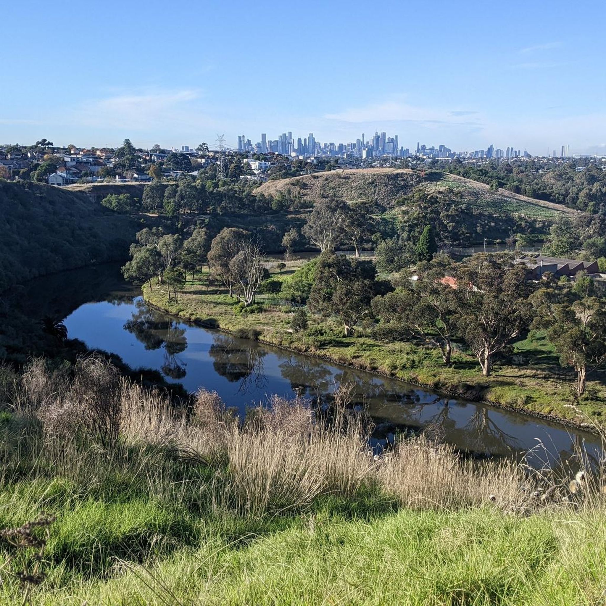
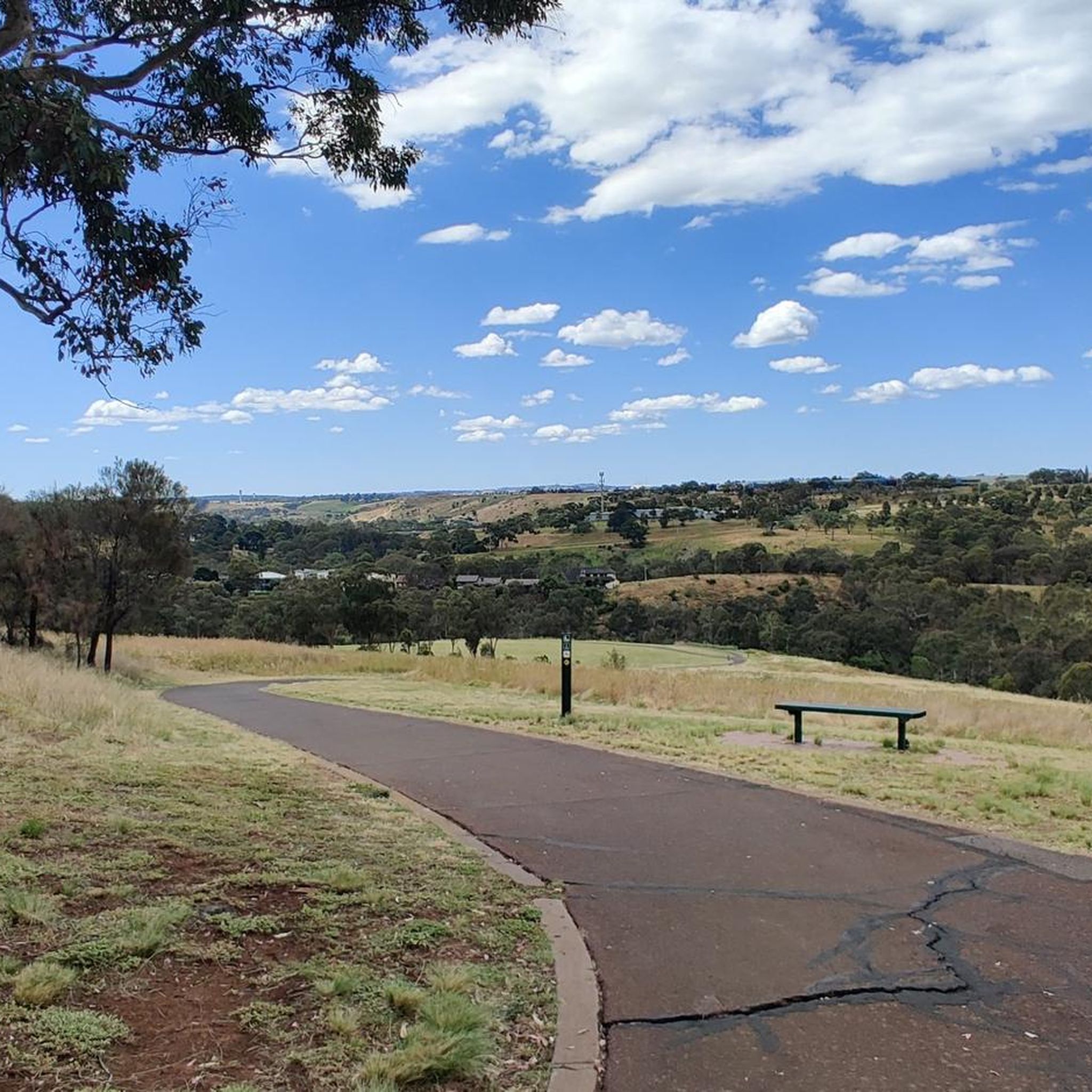
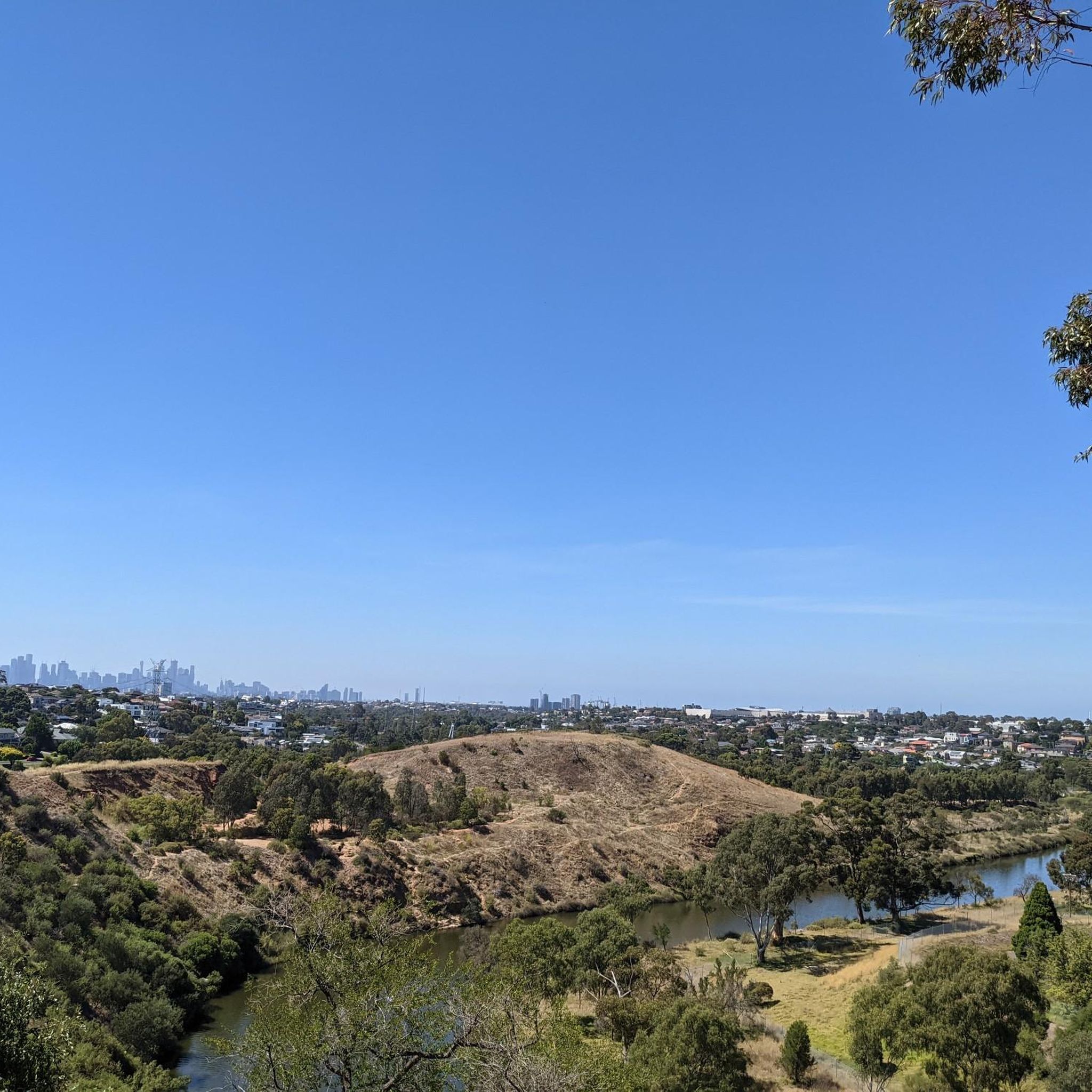
Hiking in Maribyrnong Valley Parklands offers diverse landscapes including riverlands, escarpments, and grasslands, situated along the Maribyrnong River. The parklands feature unique geological formations such as the Organ Pipes and Rosette Rock, remnants of the Western Volcanic Plains. River Red Gums line the waterways, while native grasslands cover open areas, providing varied terrain for exploration. This region provides an extensive network of trails suitable for different fitness levels.
Best hiking trails in Maribyrnong Valley Parklands
- The most popular hiking route is Maribyrnong River Trail loop, a 9.2 miles (14.9 km) trail that takes 3 hours 56 minutes to complete. This moderate route follows the Maribyrnong River, offering scenic views along its course.
- Another top favourite among local hikers is Moonee Ponds Creek Trail, a difficult 12.9 miles (20.8 km) path. This challenging trail explores the waterways and natural beauty of the parklands.
- Local hikers also love the Maribyrnong River Trail and Burndap Park loop, a 4.2 miles (6.8 km) trail leading through riverine landscapes and parkland, often completed in about 1 hour 42 minutes.
- Hiking in Maribyrnong Valley Parklands is defined by riverlands, basalt plains, and native grasslands. The network offers options for different ability levels, from easy strolls to more challenging hikes.
- The routes in Maribyrnong Valley Parklands are highly rated by the komoot community with an average score of 4.0 stars from over 2 reviews. More than 81 hikers have used komoot to explore Maribyrnong Valley Parklands's varied terrain.
Last updated: July 9, 2026
28
hikers
6.84km
01:51
90m
90m
Easy hike. Great for any fitness level. Easily-accessible paths. Suitable for all skill levels.
5.0
(1)
4
hikers
14.9km
03:56
140m
140m
Moderate hike. Good fitness required. Easily-accessible paths. Suitable for all skill levels.

Sign up for free
1
hikers
8.57km
02:15
70m
70m
Moderate hike. Good fitness required. Easily-accessible paths. Suitable for all skill levels.
34
hikers
6.56km
01:40
20m
20m
Easy hike. Great for any fitness level. Easily-accessible paths. Suitable for all skill levels.
3
hikers
10.4km
02:39
30m
30m
Moderate hike. Good fitness required. Easily-accessible paths. Suitable for all skill levels.
Get access to more routes and recommendations from other explorers.
Sign up for free
Already have an account?
Our route recommendations are based on thousands of hikes, rides, and runs completed by other people on komoot.
Start today with a free account
Your next adventure awaits.
Login or Signup
Tips from the Community

The multi-use Maribyrnong River Trail follows its eponymous river for nearly 25 kilometres through northwest Melbourne. Along the way it passes through multiple parks and neighbourhoods where walkers, joggers, and cyclists can stop to enjoy the scenery or meet friends at one of the cafés that lie a short distance from the path.
0
0
This short crossing connects the trails on either side of the Maribyrnong River. It can get flooded when the water is high so don't plan on using it after heavy rain.
0
0
Steele Creek Linear Park provides a green buffer around the creek and trail for users to enjoy while on the pathway. Along the way it passes through multiple other parks and nature reserves acting as a semi-wild corridor through the city.
0
0
Following the route of Steele Creek to its confluence with the Maribyrnong River, this multi-use trail is popular with hikers, joggers, and cyclists. It can be used for a leisurely stroll or for commuting across the city as it connects with the Maribyrnong River Trail.
0
0
This small reserve is located at the confluence of Steele Creek and the Maribyrnong River. There are multiple trails that crisscross the land, and if you take one of them up to the ridgeline above the river you'll get excellent views across the city.
0
0

Kororoit Creek is the crown jewel of the Kororoit Creek Trail. This river winds through Melbourne’s western suburbs toward Port Phillip Bay and is home to restored bushland, grassy floodplains, and urban green spaces. The trail is flat and paved, but keep an eye on updated trail conditions, as sections may be prone to flooding after heavy rain.
0
1
Located along the Kororoit Creek Trail, Nature’s Bounty Mural is a colorful mural depicting native plants, wildlife, and flowing organic shapes that honor the ecosystem of Kororoit Creek. The mural lights up the area under the overpass and creates a beautiful backdrop for a photo as well.
2
0
Along the Kororoit Creek Trail sit five stone sculptures of local animals that inhabit this part of the creek. These sculptures include an eastern long-necked turtle, a growling grass frog, a Cunningham skink, a kingfisher, and an echidna. Artist Joe Pratt carved the animals from local basalt rock. Can you find all five?
0
0
Frequently Asked Questions
What kind of landscapes can I expect to see while hiking in Maribyrnong Valley Parklands?
Maribyrnong Valley Parklands offers a diverse range of landscapes, including riverlands, dramatic escarpments, and expansive grasslands. The Maribyrnong River carves a deep valley through basalt plains, creating unique features like a distinctive horseshoe bend. You'll also encounter majestic River Red Gums along the riverbanks and native grasslands across open areas.
Are there any unique geological features or landmarks to look out for?
Yes, the parklands are situated on the edge of the Western Volcanic Plains, which has resulted in unique geological formations. Hikers can explore the impressive Organ Pipes (Basalt Columns) and Rosette Rock, which are remnants of this volcanic history.
What are some easy hiking options in Maribyrnong Valley Parklands?
For an easier experience, consider the Maribyrnong River Trail loop, which is about 4.3 km and takes just over an hour. Another accessible option is the Maribyrnong River Trail and Burndap Park loop, a 6.8 km route through riverine landscapes. Within Brimbank Park, there are also various circuits, some of which are gentle 30-minute walks on gravel and bitumen surfaces.
Are there any challenging trails for experienced hikers?
Yes, for a more challenging hike, the Moonee Ponds Creek Trail is a difficult 20.8 km path that explores the waterways and natural beauty of the parklands, typically taking over 5 hours to complete.
Can I find circular hiking routes in the parklands?
Absolutely. Many trails in Maribyrnong Valley Parklands are designed as loops. Examples include the popular Maribyrnong River Trail loop (14.9 km) and the shorter Maribyrnong River Trail and Burndap Park loop. The Organ Pipes – Rosette Rock area also features a dedicated loop for exploring its geological formations.
Is Maribyrnong Valley Parklands suitable for family outings?
Yes, the parklands are very family-friendly. Brimbank Park, in particular, offers a network of loop walks suitable for various ages, including gentle strolls. The park also provides amenities like picnic areas, playgrounds, and BBQ facilities, making it ideal for a day out with children.
Are dogs allowed on the hiking trails?
While the region is generally welcoming to outdoor activities, specific rules for dogs can vary by section of the parklands. It's always best to check the official Parks Victoria website for the most current regulations regarding dog access on trails and in specific areas within Maribyrnong Valley Parklands to ensure a pleasant and compliant visit. You can find more information on the Parks Victoria website.
What facilities are available for hikers in Maribyrnong Valley Parklands?
The parklands offer numerous amenities to enhance your visit. You'll find picnic areas, playgrounds, restrooms, BBQ facilities, and drinking water stations. These are particularly concentrated in areas like Brimbank Park.
What do other hikers say about their experience in Maribyrnong Valley Parklands?
The trails in Maribyrnong Valley Parklands are highly rated by the komoot community, with an average score of 4.0 stars. Hikers often praise the diverse landscapes, the scenic river views, and the variety of routes available for different fitness levels.
How can I get to Maribyrnong Valley Parklands using public transport?
Maribyrnong Valley Parklands is conveniently located a short drive north-west of Melbourne. While specific public transport routes to trailheads can vary, generally, bus services connect to areas surrounding the parklands. For detailed public transport options to specific entry points, it's recommended to consult Public Transport Victoria's journey planner or local bus timetables.
Are there parking facilities available at the trailheads?
Yes, parking is generally available at key access points and within popular areas like Brimbank Park. These facilities are designed to accommodate visitors looking to explore the extensive trail network.
What is the best time of year to go hiking in Maribyrnong Valley Parklands?
The parklands can be enjoyed year-round, but spring and autumn generally offer the most pleasant hiking conditions with milder temperatures and beautiful natural scenery. Spring brings blooming wildflowers, while autumn showcases vibrant foliage. Summer can be hot, so early morning or late afternoon hikes are recommended, and winter can be cool but often clear.
Most popular routes in Maribyrnong Valley Parklands

Get inspired with the komoot mobile app


Explore more
Browse the best Hikes in other regions.
