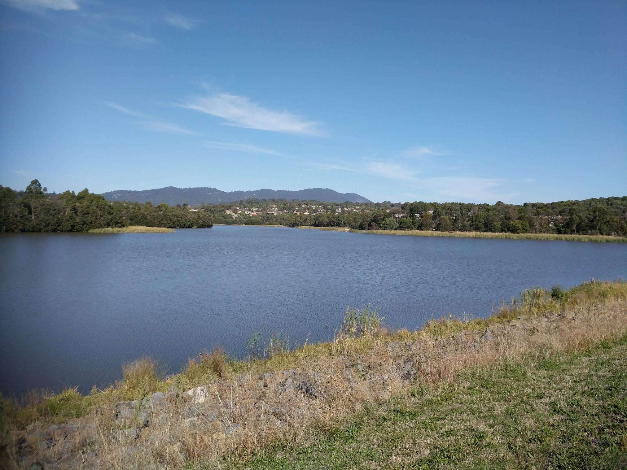
The best running trails in Kinglake National Park
84
runners
7
runs
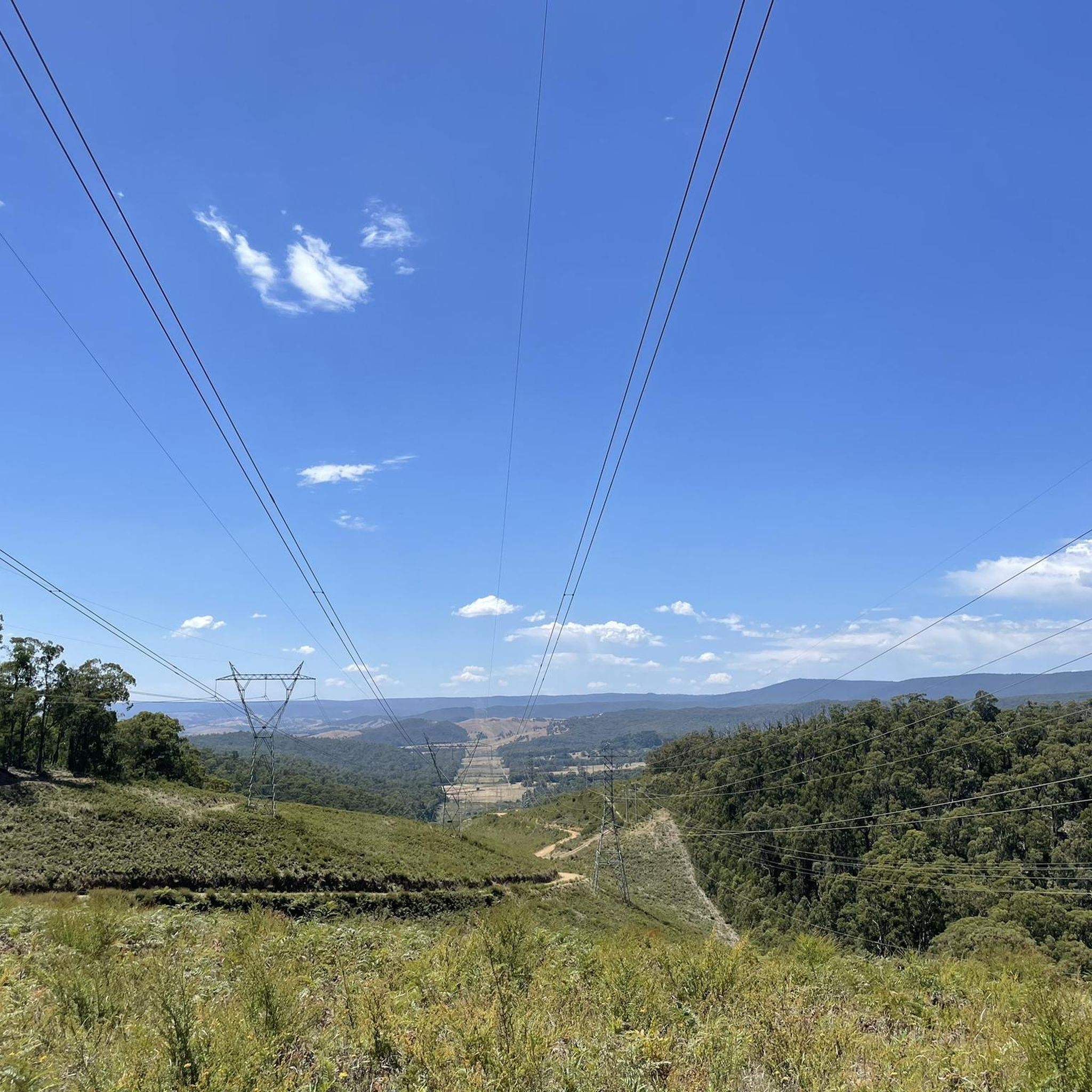
Jogging in Kinglake National Park offers a diverse experience across varied terrain on the slopes of the Great Dividing Range. The park features extensive networks of running tracks winding through open eucalypt forests and lush mountain ash forests with tree ferns in wet gullies. Runners can encounter significant elevation changes, with routes often leading to viewpoints offering vistas of the surrounding landscape. The area is characterized by its natural features, including waterfalls, gullies, and tall forests.
Best jogging routes in…
Last updated: June 26, 2026
20
runners
25.6km
03:13
890m
890m
Hard run. Very good fitness required. Mostly paved surfaces. Suitable for all skill levels.
15
runners
22.3km
02:41
710m
710m
Hard run. Very good fitness required. Mostly paved surfaces. Suitable for all skill levels.

Sign up for free
11
runners
17.9km
02:11
570m
570m
Hard run. Very good fitness required. Mostly paved surfaces. Suitable for all skill levels.
6
runners
10.9km
01:22
370m
360m
Hard run. Very good fitness required. Mostly paved surfaces. Suitable for all skill levels.
3
runners
10.9km
01:29
330m
330m
Hard run. Very good fitness required. Mostly paved surfaces. Suitable for all skill levels.
Get access to more routes and recommendations from other explorers.
Sign up for free
Already have an account?
Our route recommendations are based on thousands of hikes, rides, and runs completed by other people on komoot.
Start today with a free account
Your next adventure awaits.
Login or Signup
Frequently Asked Questions
What kind of terrain and difficulty can I expect on the running trails in Kinglake National Park?
The running trails in Kinglake National Park are primarily challenging, with most routes rated as difficult. You'll encounter significant elevation changes as you traverse diverse forest environments, including open eucalypt forests and lush mountain ash forests with tree ferns in wet gullies. The park is situated on the slopes of the Great Dividing Range, contributing to the varied and often steep terrain.
Are there any easy or beginner-friendly running paths in Kinglake National Park?
While many routes in Kinglake National Park are rated as difficult, the park offers a network of tracks that cater to different fitness levels. Although the provided data doesn't list any easy routes, there are moderate options available. For a less strenuous experience, consider shorter sections of trails or focus on areas like Jehosaphat Gully, which features pleasant open grassed areas.
What are some notable natural features or landmarks I might see while running in Kinglake National Park?
Kinglake National Park is rich in natural beauty. You can discover picturesque waterfalls like Masons Falls and Wombelano Falls, where water cascades over ancient mudstone. Several lookouts, such as Mount Sugarloaf, offer stunning panoramic views of Melbourne's skyline, Port Phillip Bay, and the Yarra Valley. The park also boasts towering eucalypt trees, diverse flora, and tranquil mountain streams like the Running Creek.
Can I spot any wildlife while jogging through Kinglake National Park?
Yes, Kinglake National Park is a haven for wildlife. Joggers might encounter over 40 native mammal species and 90 native bird species. Keep an eye out for iconic Australian animals such as Sulphur-crested Cockatoos, lyrebirds (especially active in winter around Masons Falls), King Parrots, rosellas, wallabies, wombats, possums, and echidnas.
Are there any circular running routes available in Kinglake National Park?
Yes, many of the running routes in Kinglake National Park are designed as loops. For example, you can explore the challenging Mount Beggary – Mount Everard loop from Mount Beggary, a 15.9-mile (25.6 km) trail, or the slightly shorter Mount Everard loop from Mount Beggary, which is 6.8 miles (11.0 km).
What is the best time of year to go running in Kinglake National Park?
Kinglake National Park, being on the slopes of the Great Dividing Range, is often cooler and wetter than Melbourne. This makes it a comfortable environment for outdoor exercise, especially during warmer months when the lower temperatures are a welcome relief. Spring also brings blooming wildflowers, adding to the scenic experience.
Are dogs allowed on the running trails in Kinglake National Park?
Generally, dogs are not permitted on trails within Kinglake National Park to protect the native wildlife and natural environment. It's always best to check the official park regulations for the most current information regarding pet access. You can find more details on the Parks Victoria website: parks.vic.gov.au.
Are there facilities like parking or public transport options for accessing the running routes?
Kinglake National Park offers various picnic and barbecue facilities at locations such as Masons Falls, Jehosaphat Gully, and Island Creek, which often include parking areas. While specific public transport options directly to trailheads might be limited, the park is a short drive from Melbourne, making car access the most common method. For detailed visitor information, including access, refer to the Parks Victoria guide: Kinglake National Park Visitor Guide.
What do other runners enjoy most about jogging in Kinglake National Park?
The komoot community highly values the diverse and challenging running experience in Kinglake National Park. Runners frequently praise the extensive network of tracks that wind through varied terrain, from open eucalypt forests to lush mountain ash forests. The significant elevation changes and panoramic views from lookouts like Mount Sugarloaf are also often highlighted as rewarding aspects of the trails.
Can I find cafes or accommodation near the running trails in Kinglake National Park?
While Kinglake National Park itself offers camping at The Gums Camping area, nestled among tall eucalyptus trees, specific cafes or pubs are typically found in nearby towns. The park is popular for picnics, with facilities available at Masons Falls, Jehosaphat Gully, and Island Creek. For dining and accommodation outside the park, you would need to explore the surrounding Kinglake region.
How long do the running routes in Kinglake National Park typically take to complete?
The duration of running routes in Kinglake National Park varies significantly based on distance and difficulty. For instance, the challenging Mount Beggary – Mount Everard loop from Mount Beggary, at 15.9 miles (25.6 km), typically takes around 3 hours and 13 minutes. A shorter, but still difficult, route like the Mount Everard loop from Mount Beggary (6.8 miles / 11.0 km) can be completed in about 1 hour and 19 minutes.
Are there any family-friendly activities or areas in Kinglake National Park suitable for a post-run outing?
Absolutely! Kinglake National Park is popular for various outdoor activities beyond running. Areas like Jehosaphat Gully feature pleasant open grassed areas perfect for walks or a post-run picnic. Picnic and barbecue facilities are also available at Masons Falls and Island Creek, making them ideal spots for families to relax and enjoy the natural surroundings after a run.
Most popular routes in Kinglake National Park
Most popular attractions in Kinglake National Park

Get inspired with the komoot mobile app


Explore more
Browse the best Running Trails & Routes in other regions.
