The best walks and hikes in Kinglake National Park
4.7
(29)
326
hikers
13
hikes
Hiking in Kinglake National Park offers diverse landscapes across Victoria's largest national park, spanning 22,360 hectares of forested hills and fern gullies. The park features varied forest types, from open eucalypt canopies on drier slopes to mountain ash and tree ferns in wet gullies. Situated on the Great Dividing Range, the area provides panoramic views of the Melbourne skyline and Port Phillip Bay from key viewpoints like Mount Sugarloaf. Ancient sedimentary mudstone and sandstone, formed 440 million years ago, characterize the geological base, visible at waterfalls such as Masons Falls.
Best hiking trails in Kinglake National Park
- The most popular hiking route is Masons Falls loop from Kinglake Central, a 3.0 miles (4.8 km) trail that takes 1 hour 23 minutes to complete. This easy route leads to the scenic Masons Falls, a popular attraction within the park.
- Another top favourite among local hikers is Mount Everard loop from Kinglake, a difficult 12.4 miles (20.0 km) path. This challenging route explores the park's forested hills, offering significant elevation gain and expansive views.
- Local hikers also love the Mount Beggary – Mount Everard loop from Mount Beggary, a 6.6 miles (10.7 km) trail leading through diverse forested hills, often completed in about 3 hours 15 minutes.
- Hiking in Kinglake National Park is defined by diverse eucalypt forests, scenic waterfalls, and panoramic viewpoints. The network offers options for various ability levels, from easy strolls to more challenging ascents.
- The routes in Kinglake National Park are highly rated by the komoot community with an average score of 4.8 stars from more than 10 reviews. More than 140 hikers have used komoot to explore Kinglake National Park's varied terrain.
Last updated: November 8, 2026
4.5
(11)
102
hikers
13.9km
04:04
370m
370m
Moderate hike. Good fitness required. Easily walkable paths.
5.0
(1)
29
hikers
5.13km
01:28
120m
120m
Easy hike. Easily walkable paths.

10
hikers
10.8km
03:19
370m
360m
Moderate hike. Good fitness required. Easily walkable paths.
4.3
(4)
17
hikers
20.0km
06:03
670m
670m
Hard hike. Very good fitness required. Easily walkable paths.
4.7
(3)
15
hikers
15.2km
04:38
510m
510m
Moderate hike. Good fitness required. Easily walkable paths.
Get access to more routes and recommendations from other explorers.
Already have an account?
Our route recommendations are based on thousands of hikes, rides, and runs completed by other people on komoot.
Start today with a free account
Your next adventure awaits.
Tips from the Community

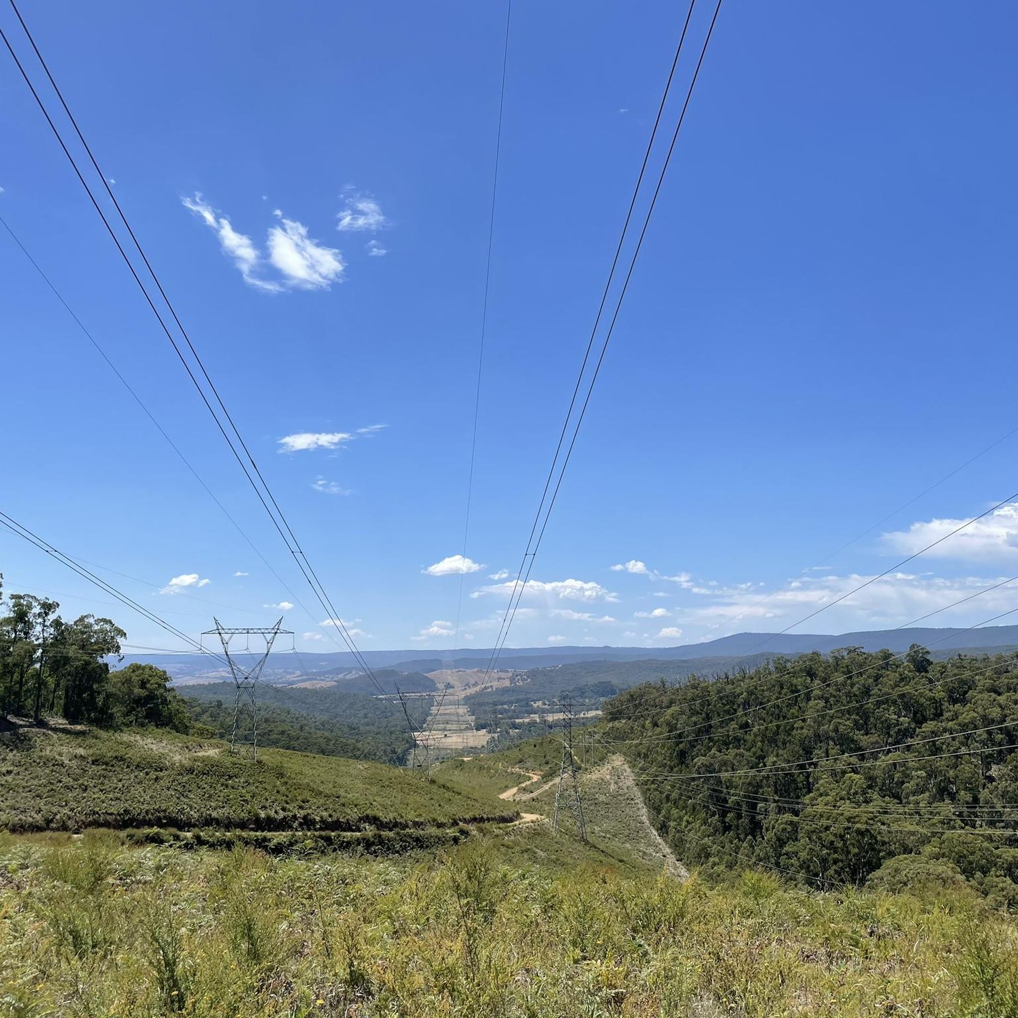
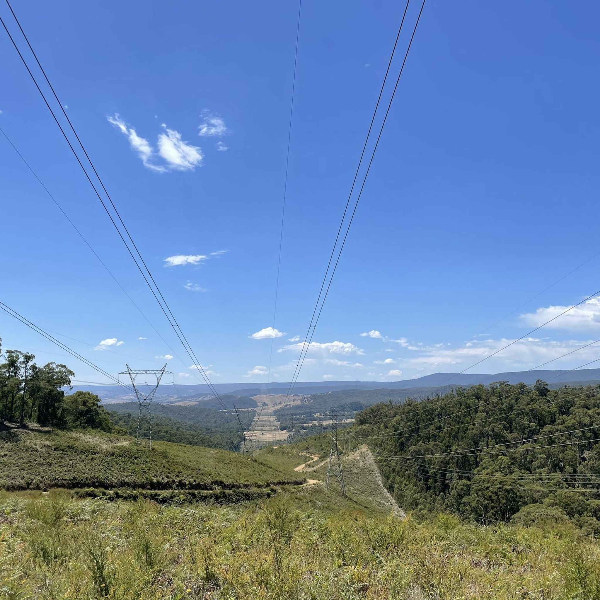
Bundy Track is one of the rougher links on the Mount Everard circuit, cutting through eucalypt forest between Mount Everard Track and Old Kinglake Road. Most of it follows a broad dirt track, but there are steeper sections that can feel loose underfoot, especially after rain. It’s more about the climb and the forest than big views, so expect this part of the circuit to feel quieter and more enclosed.
0
0
The Black Saturday Memorial is a small stone seat beside the track, remembering four people from the nearby Steels Creek community who died in the fires on 7 February 2009, as well as the many others who lost their lives that day. Much of Kinglake National Park was burned during Black Saturday, so this is a particularly meaningful stop on the Mount Everard circuit and adds some context to the regenerating forest around you.
0
0
Mount Everard is the high point of this circuit, with views across the Kinglake Ranges and, on a clear day, all the way towards Melbourne’s CBD. The summit itself is fairly open compared with the forested approach, so it’s a good place to stop before continuing along the route. The climb to get here is steady rather than technical, but the accumulated elevation makes it feel earned.
0
0

Boundary Track in Kinglake National Park runs just under 2 ½ kilometres, following the park boundary through tall eucalypt forest and regenerating bushland. The route is flat and relatively easy, and connects with other nearby tracks for short or longer treks through the park. Along the way, it offers a quieter forest experience with chances to see native wildlife, while also providing access to Masons Falls and surrounding picnic areas.
0
0
Set within Kinglake National Park, Masons Falls Picnic Area is a spacious, open picnic ground surrounded by towering eucalypt forest, with shelters, tables, toilets, and free gas barbecues for day visitors. From the picnic area, a network of short walking tracks leads through fern gullies and tall forest to a viewing platform overlooking Masons Falls, where water cascades into a steep, forested gorge below. The setting combines accessible facilities with immersive bushland, making it a popular base for picnicking, wildlife spotting and exploring one of the closest national park landscapes to Melbourne.
0
0

Masons Falls has an awesome viewing platform, with safety rails and an unobstructed view of the waterfall. These falls drop 45 meters but can run dry during droughts or hot parts of the summer.
0
0
Hazel Glade is a swathe of ferns in a gully, and can be seen from Running Creek Track. It's a peaceful patch of forests, typical of Kinglake National Park.
0
0
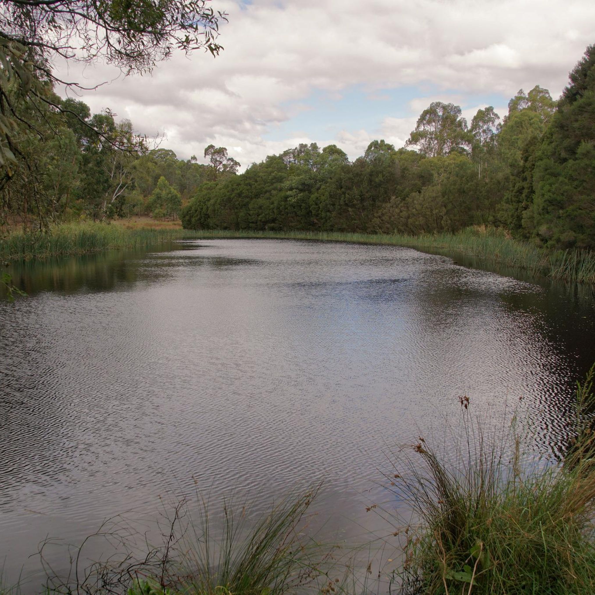
Arthurs Creek can run almost dry in the summer, but when it's flowing, it's a gentle creek that weaves through the forests of Kinglake National Park.
0
0
Frequently Asked Questions
Are there any waterfalls to see in Kinglake National Park?
Yes, Kinglake National Park is home to beautiful waterfalls. Masons Falls is a particularly popular attraction, with a short walk from a large picnic area leading to views of water cascading over ancient mudstone walls. Wombelano Falls also offers a scenic 1.5 km return circuit through the forest to a viewing platform.
What kind of views can I expect on hikes in Kinglake National Park?
Situated on the slopes of the Great Dividing Range, the park provides dramatic panoramic views. From key viewpoints like Mount Sugarloaf, you can often see the Melbourne skyline, Port Phillip Bay, the Yarra Valley, and even across to the You Yangs.
Are there family-friendly hiking options in Kinglake National Park?
Yes, the park offers several easy trails suitable for families. For example, the Masons Falls loop from Kinglake Central is an easy 4.8 km route that takes about 1 hour 23 minutes to complete, leading to the scenic Masons Falls. There are also well-equipped picnic areas like Masons Falls Picnic Area and Jehosaphat Gully, perfect for a family outing.
Can I bring my dog on the hiking trails in Kinglake National Park?
Generally, dogs are not permitted on walking tracks within Kinglake National Park to protect the native wildlife. However, there may be specific designated areas or trails where dogs are allowed on a leash. It's always best to check the latest regulations on the Parks Victoria website before visiting.
Are there any circular hiking routes in Kinglake National Park?
Yes, many of the park's trails are designed as loops, offering varied scenery without retracing your steps. Popular options include the Masons Falls loop from Kinglake Central, the more challenging Mount Everard loop from Kinglake, and the Mount Beggary – Mount Everard loop from Mount Beggary.
What is the best time of year to go hiking in Kinglake National Park?
Kinglake National Park can be enjoyed year-round. Spring (September to November) is ideal for wildflowers and pleasant temperatures. Autumn (March to May) offers cooler weather and beautiful foliage. Summer (December to February) can be hot, so early morning or late afternoon hikes are recommended. Winter (June to August) provides crisp air and fewer crowds, though some trails might be muddy after rain.
What kind of wildlife can I spot while hiking in Kinglake National Park?
The park is a haven for nature lovers, protecting almost 600 native plant species and a diverse range of animals. You might spot wallabies, wombats, possums, echidnas, and a variety of birds including cockatoos, king parrots, rosellas, and the iconic superb lyrebird. The park's diverse vegetation, including mountain ash forests and fern gullies, provides rich habitats.
Are there challenging hikes for experienced trekkers in Kinglake National Park?
Absolutely. For experienced hikers seeking a challenge, the Mount Everard loop from Kinglake is a difficult 20.0 km path with significant elevation gain, exploring the park's forested hills. Other longer routes like the Bundy Track via Mount Everard and Mount Jerusalem Circuit also offer strenuous options.
Where can I park when visiting Kinglake National Park for a hike?
Kinglake National Park offers several well-equipped picnic areas that also serve as convenient parking spots for hikers. Popular options include Masons Falls Picnic Area, Jehosaphat Gully, Island Creek Picnic Area, and Blackwood Picnic Area. Blackwood Picnic Area is particularly well-located at the intersection of tracks leading to Masons Falls and Mount Sugarloaf Lookout.
What do other hikers enjoy most about Kinglake National Park?
The area is highly rated by the komoot community, with an average score of 4.8 stars. Reviewers often praise the diverse eucalypt forests, the scenic waterfalls like Masons Falls, and the panoramic viewpoints that offer stunning vistas of Melbourne and Port Phillip Bay. Many appreciate the variety of trails suitable for different fitness levels.
Are there any accessible trails for visitors with mobility limitations?
Yes, Kinglake National Park is committed to accessibility. Some tracks in the park are wheelchair accessible, and the TrailRider all-terrain wheelchair is available for loan, making certain areas more inclusive for visitors with mobility limitations. It's advisable to check with Parks Victoria for specific accessible trail information.
Can I camp overnight in Kinglake National Park?
Yes, for those wishing to extend their stay and further explore the park, camping facilities are available. The Gums campground, located in the northern (Wombelano) Block of the park, offers designated camping spots.
What are the geological features of Kinglake National Park?
The base rocks of the Kinglake area are ancient sedimentary mudstone and sandstone, formed on the bed of a shallow sea approximately 440 million years ago. These layered sediments, which can contain fossils, are notably visible at Masons Falls, offering a glimpse into the region's deep geological past.
Most popular routes in Kinglake National Park
Most popular attractions in Kinglake National Park

Get inspired with the komoot mobile app


Explore more
Browse the best Hikes in other regions.
