The best road cycling routes in Kinglake National Park
223
riders
7
rides
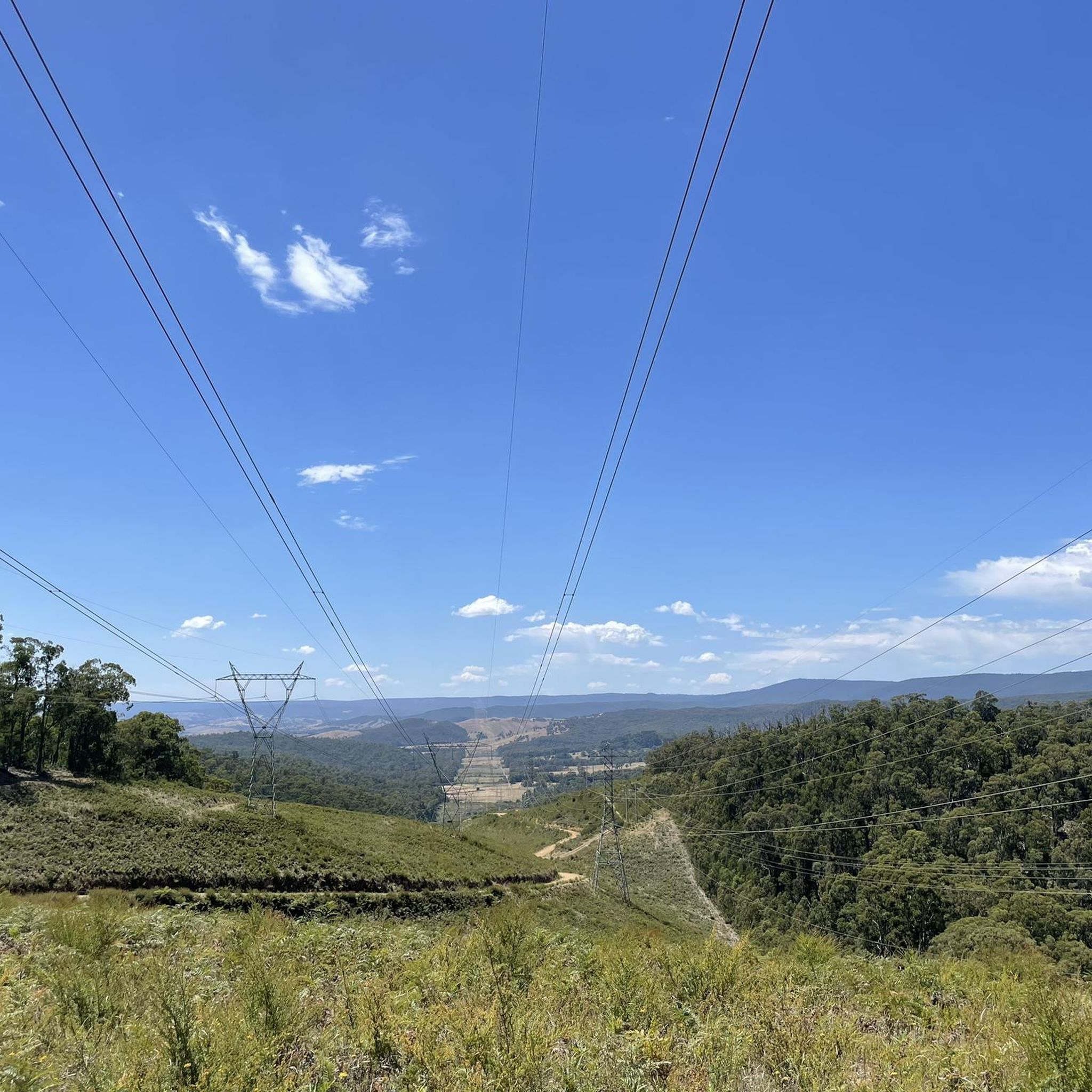
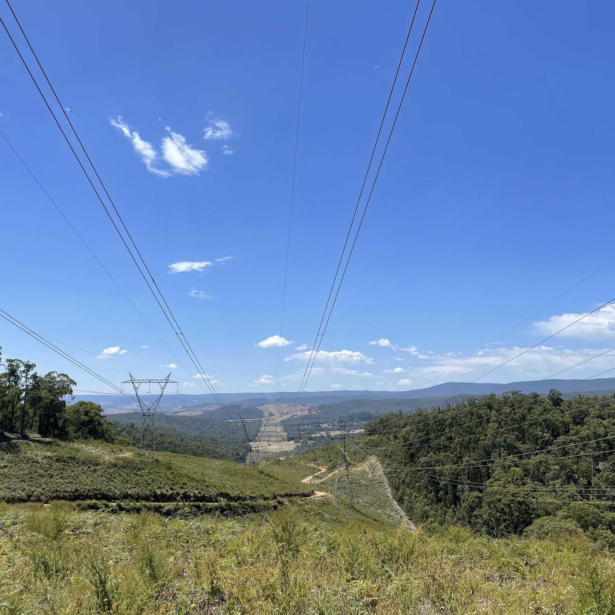
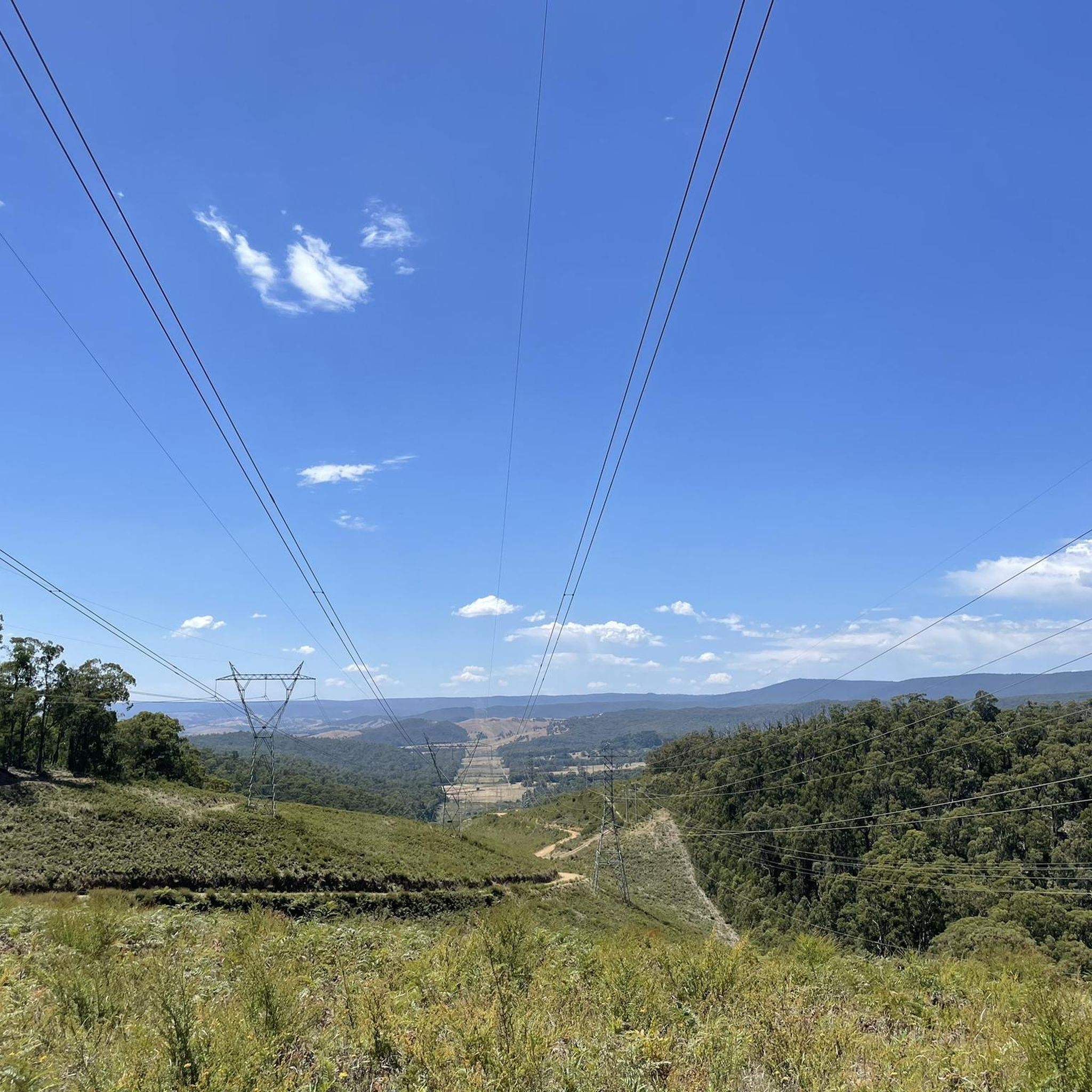
Road cycling routes in Kinglake National Park are situated on the slopes of the Great Dividing Range, approximately 65 km north of Melbourne. The park features diverse landscapes, including ancient eucalypt forests and lush fern gullies, with varied terrain suitable for road cycling. Cyclists encounter challenging climbs and scenic descents, offering panoramic views of the Melbourne skyline and the Yarra Valley. The area is characterized by its tall Mountain Ash forests and winding roads through natural environments.
Best road cycling…
Last updated: July 10, 2026
12
riders
25.7km
01:21
490m
490m
Moderate road ride. Good fitness required. Mostly well-paved surfaces and easy to ride.
10
riders
97.6km
04:23
1,090m
1,090m
Hard road ride. Very good fitness required. Mostly well-paved surfaces and easy to ride.

Sign up for free
114km
05:39
1,650m
1,650m
Hard road ride. Very good fitness required. Some segments of this route may be unpaved and difficult to ride.
94
riders
96.4km
04:35
970m
970m
Hard road ride. Very good fitness required. Mostly well-paved surfaces and easy to ride.
25
riders
99.6km
04:47
1,340m
1,340m
Hard road ride. Very good fitness required. Some segments of this route may be unpaved and difficult to ride.
Get access to more routes and recommendations from other explorers.
Sign up for free
Already have an account?
Our route recommendations are based on thousands of hikes, rides, and runs completed by other people on komoot.
Start today with a free account
Your next adventure awaits.
Login or Signup
Tips from the Community

Norris Bank Parklands offers a free Bike Repair Station with tools and an air pump. The station sits right next to a bench and a map of the park's paths.
0
0

This spot sits near the end of the Yarra Valley Trail, which brings you to the edge of Yering, with open farmland and vineyards in the heart of the Yarra Valley. It’s a peaceful place to finish your walk or ride, surrounded by rolling rural scenery and some of the region’s oldest wine country. From the trail’s end, Yering Station Winery is just a short walk away, making it an ideal place to relax with a meal or a glass of wine before heading back.
0
0
The Plenty River flows 47 kilometres from Mount Disappointment south to the Yarra River. It is a beautiful river that is often paired with green spaces as it flows through urban areas that attract bushwalkers and mountain bikers and birdwatchers. At this location on the Plenty River Trail a pedestrian only bridge spans the river.
0
0
This bright red steel bridge over the Maroondah Highway is a well-known sight along the rail trail, providing a safe way to cross the busy road. It’s key to connecting Lilydale Station with the main trail away from traffic, and it marks the shift from the urban surroundings to the beautiful natural bushland as you head toward Mount Evelyn.
0
0
Lilydale Recreation Reserve is a community sports and open space area at the start of the Lilydale to Warburton Rail Trail, providing a key access point for walkers and cyclists. The reserve includes sports fields, open grassy areas, walking paths, a pavilion, and toilets. Located alongside other recreational areas such as Lilydale Pool and Melba Park, it’s both a local sporting hub and a convenient trailhead for exploring the Yarra Valley.
0
0

This bridge marks the junction between the Dandenong Creek Trail and the Ringwood–Belgrave Rail Trail, creating a key link within Melbourne’s eastern trail network. Crossing over Dandenong Creek, it offers a brief elevated view of the water and surrounding vegetation.
1
0
Plenty Gorge Park spans roughly 11 kilometres along the Plenty River and covers diverse landscapes, including steep gorges, woodlands, wetlands, and open grasslands. The river has carved a dramatic gorge through softer sedimentary rock, creating varied habitats that support hundreds of native plant and animal species, making the park one of the most ecologically diverse in the Melbourne area. Today, the park is a hub for recreation, with walking trails, picnic areas, and restored former quarry sites, such as Blue Lake, for plenty of opportunities to enjoy the natural scenery and wildlife.
0
0

Frequently Asked Questions
What kind of terrain can I expect when road cycling in Kinglake National Park?
Kinglake National Park offers diverse terrain for road cycling, characterized by challenging climbs and scenic descents. You'll ride through ancient eucalypt forests, lush fern gullies, and areas with tall Mountain Ash trees. Many routes feature winding roads that provide panoramic views of the Melbourne skyline, Port Phillip Bay, and the Yarra Valley.
Are there road cycling routes suitable for beginners in Kinglake National Park?
While many routes in Kinglake National Park are considered difficult, there is at least one moderate option available. For example, the Roadbike loop from St Andrews is a moderate 25.7 km trail that offers a balanced ride through the park's varied landscape.
What are some of the more challenging road cycling routes in Kinglake National Park?
For experienced road cyclists seeking a challenge, Kinglake National Park offers several difficult routes. The climb to Kinglake, particularly on Heidelberg-Kinglake Road, is renowned. Routes like the Humevale Road Descent – Kinglake Road loop from Whittlesea, a 97.6 km path, and the Yering Station End of the Line loop from Lilydale, a 113.3 km trail, feature significant elevation changes and test endurance.
What natural features and landmarks can I see along the road cycling routes?
Road cycling routes in Kinglake National Park offer access to several natural attractions. You can visit Masons Falls, an iconic waterfall, or enjoy stunning vistas from Mount Sugarloaf Lookout. The park also features lush fern gullies and tall Mountain Ash forests, especially in the Wallaby Creek water catchment.
Are there any circular road cycling routes in Kinglake National Park?
Yes, many of the road cycling routes in Kinglake National Park are designed as loops, allowing you to start and finish in the same location. Examples include the Roadbike loop from St Andrews and the Humevale Road Descent – Kinglake Road loop from Whittlesea, providing varied distances and difficulty levels.
What is the best time of year to go road cycling in Kinglake National Park?
Spring is a particularly beautiful time for road cycling in Kinglake National Park, as the park comes alive with a carpet of wildflowers, including orchids, lilies, and everlasting daisies. The diverse vegetation provides a constantly changing and scenic backdrop for rides throughout the warmer months.
Are there any picnic or rest areas along the road cycling routes?
Yes, Kinglake National Park offers numerous well-equipped picnic and barbecue areas that are ideal for rest stops during your ride. Notable spots include Blackwood Picnic Area, Masons Falls Picnic Area, Jehosaphat Gully, and Island Creek, all surrounded by tall eucalypts.
Can I access Kinglake National Park by public transport for road cycling?
While Kinglake National Park is easily accessible by car from Melbourne, public transport options directly into the park for cyclists are limited. It's advisable to check local bus services to nearby towns like Whittlesea or St Andrews and plan your route from there, or consider driving to a starting point with parking.
Are permits required for road cycling in Kinglake National Park?
Generally, permits are not required for recreational road cycling on designated roads within Kinglake National Park. However, it's always a good practice to check the official Parks Victoria website for any specific regulations or temporary closures before your visit. You can find more information on the Parks Victoria Kinglake National Park page.
What do other road cyclists enjoy most about road cycling in Kinglake National Park?
Road cyclists frequently praise the diverse landscapes, challenging climbs, and panoramic views found within Kinglake National Park. The winding roads through ancient eucalypt forests and fern gullies, combined with the rewarding vistas of the Melbourne skyline and Yarra Valley, are often highlighted as key attractions. The variety of routes, from moderate loops to difficult long-distance paths, also caters to different skill levels.
How long are the road cycling routes in Kinglake National Park?
The road cycling routes in Kinglake National Park vary significantly in length. You can find shorter loops, such as the Roadbike loop from St Andrews at 25.7 km, up to much longer and more challenging rides like the Yering Station End of the Line loop from Lilydale, which spans 113.3 km.
Most popular routes in Kinglake National Park
Most popular attractions in Kinglake National Park

Get inspired with the komoot mobile app


Explore more
Browse the best Road cycling routes in other regions.
