The best running trails in Churchill National Park
5.0
(4)
128
runners
10
runs
Jogging in Churchill National Park offers a diverse landscape for runners, characterized by a blend of woodland and remnants of original forest. The park features an extensive network of trails, including well-formed gravel paths and narrower natural tracks. Runners can expect varied terrain, from gentle paths to challenging inclines, with some routes leading to scenic hilltop vistas. The area provides a natural escape with opportunities to observe local wildlife.
Best jogging routes in Churchill National Park
- The most popular jogging route is Valley View Track loop from Churchill National Park, a 22.7 miles (36.5 km) trail that takes about 4 hours 11 minutes to complete. This difficult route features significant elevation gain through varied terrain.
- Another top favourite among local runners is Lysterfield Hills – Churchill National Park loop from Churchill National Park, a difficult 11.3 miles (18.3 km) path. This route offers substantial climbs and panoramic views across the park.
- Local runners also love the Eumemmerring Creek Wetland loop from Thomas Mitchell Drive/Hallam North Road, a 4.9 miles (7.8 km) trail leading through wetland areas, often completed in about 49 minutes.
- Jogging in Churchill National Park is defined by open woodlands, challenging inclines, and peaceful tracks alongside historic features. The network offers options for different ability levels, from moderate running routes to more difficult trails with significant elevation.
- The routes in Churchill National Park are highly rated by the komoot community with an average score of 5.0 stars from 2 reviews. More than 200 runners have used komoot to explore Churchill National Park's varied terrain.
Last updated: July 8, 2026
23
runners
Hard run. Very good fitness required. Mostly paved surfaces. Suitable for all skill levels.
5.0
(1)
6
runners
Hard run. Very good fitness required. Mostly paved surfaces. Suitable for all skill levels.

Sign up for free
3
runners
Moderate run. Good fitness required. Mostly paved surfaces. Suitable for all skill levels.
5.0
(1)
13
runners
10.2km
01:24
520m
520m
Hard run. Very good fitness required. Mostly paved surfaces. Suitable for all skill levels.
8
runners
Hard run. Very good fitness required. Mostly paved surfaces. Suitable for all skill levels.
Get access to more routes and recommendations from other explorers.
Sign up for free
Already have an account?
Our route recommendations are based on thousands of hikes, rides, and runs completed by other people on komoot.
Start today with a free account
Your next adventure awaits.
Login or Signup

Tips from the Community

Lamberts Track is a wide gravel path running through open eucalypt forest, forming part of the park’s main walking and running network. The track is relatively flat with a gentle gradient, making it one of the easier sections to move through. It has a more open feel compared to narrower bush tracks, with long sightlines ahead and fewer obstacles underfoot.
0
0
Trig Point Lookout sits at one of the higher points in the Lysterfield and Churchill park area, with elevated views across Melbourne, the Dandenong Ranges, Arthur’s Seat, and Western Port Bay on clearer days. The climb to the lookout follows a steeper gravel track through eucalypt forest, with kangaroos and birdlife commonly seen along the route. The lookout itself is relatively open compared to the surrounding bushland, creating wider sightlines across the landscape.
0
0
Granite Peak Trail climbs through open eucalypt forest toward rocky outcrops at one of the higher points in the park. Parts of the route follow the line of an old tramway used during construction of the reservoir and nearby quarries. The track is designated for walking and running, with a steady climb and rougher, rockier sections closer to the top.
0
0
Running through Birdsland Reserve, Blackwood Walk is a short multi-use trail linking into the wider network toward Lysterfield Park. The track is shared by walkers, runners, and mountain bikers, and connects easily into longer loop routes across the reserve.
0
0
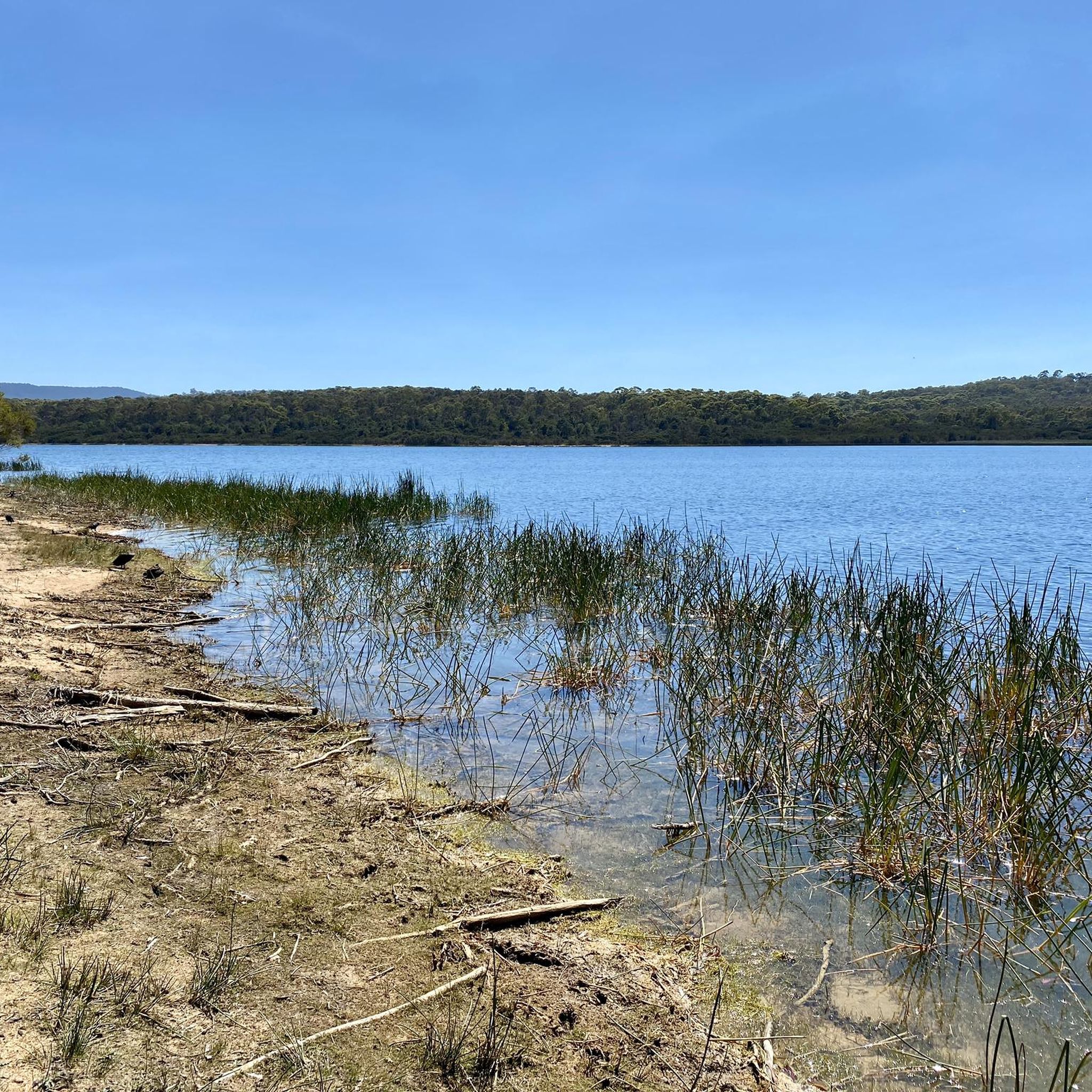
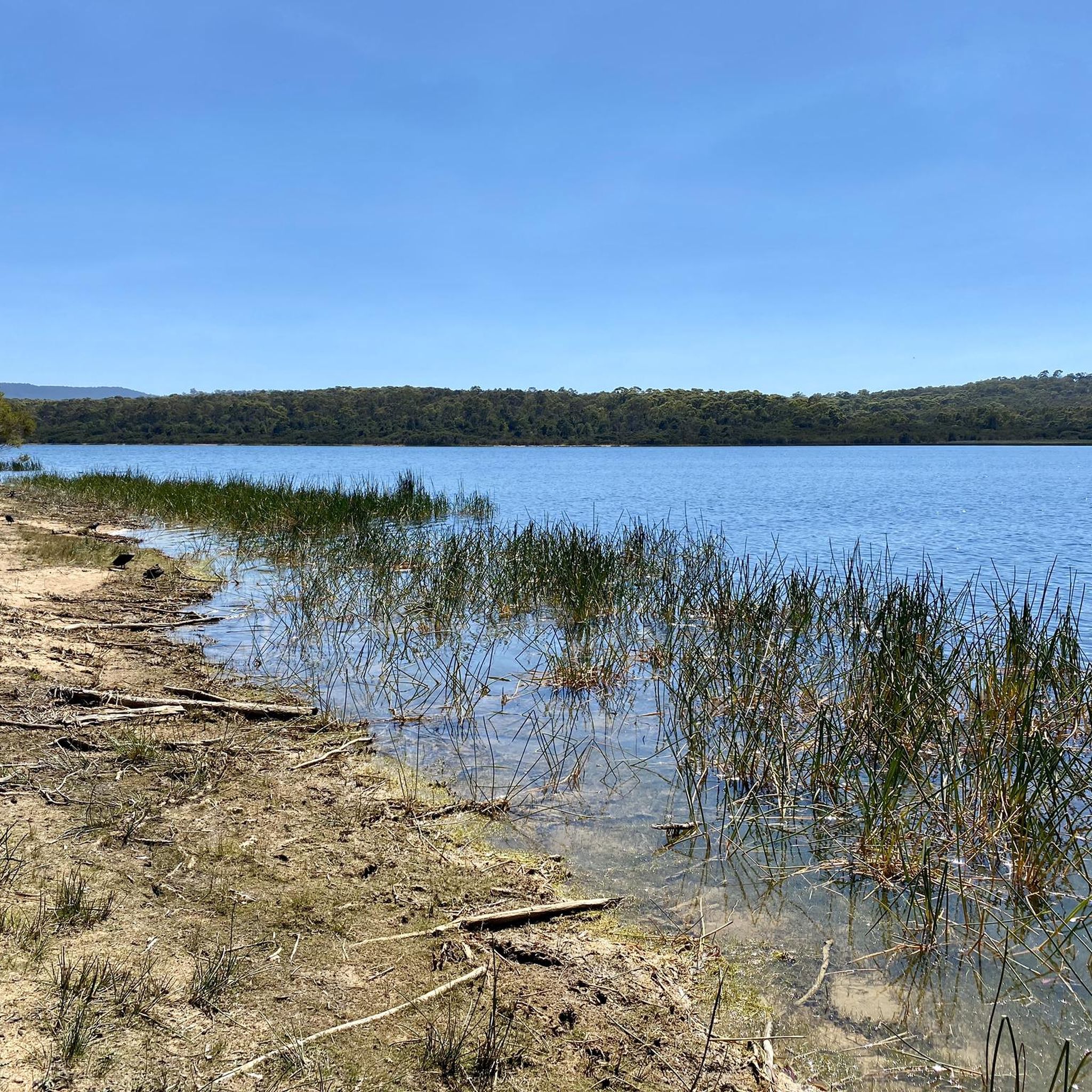
Birdsland Reserve spans around seventy-five hectares of open hills, small lakes, and sections of bushland along Monbulk Creek. The landscape shifts between exposed grassy slopes and more sheltered creekside areas, with birdlife active around the water and occasional kangaroos in the open sections. Tracks range from flatter paths near the lakes to steeper climbs across the hills, with wider views across the surrounding area.
0
0
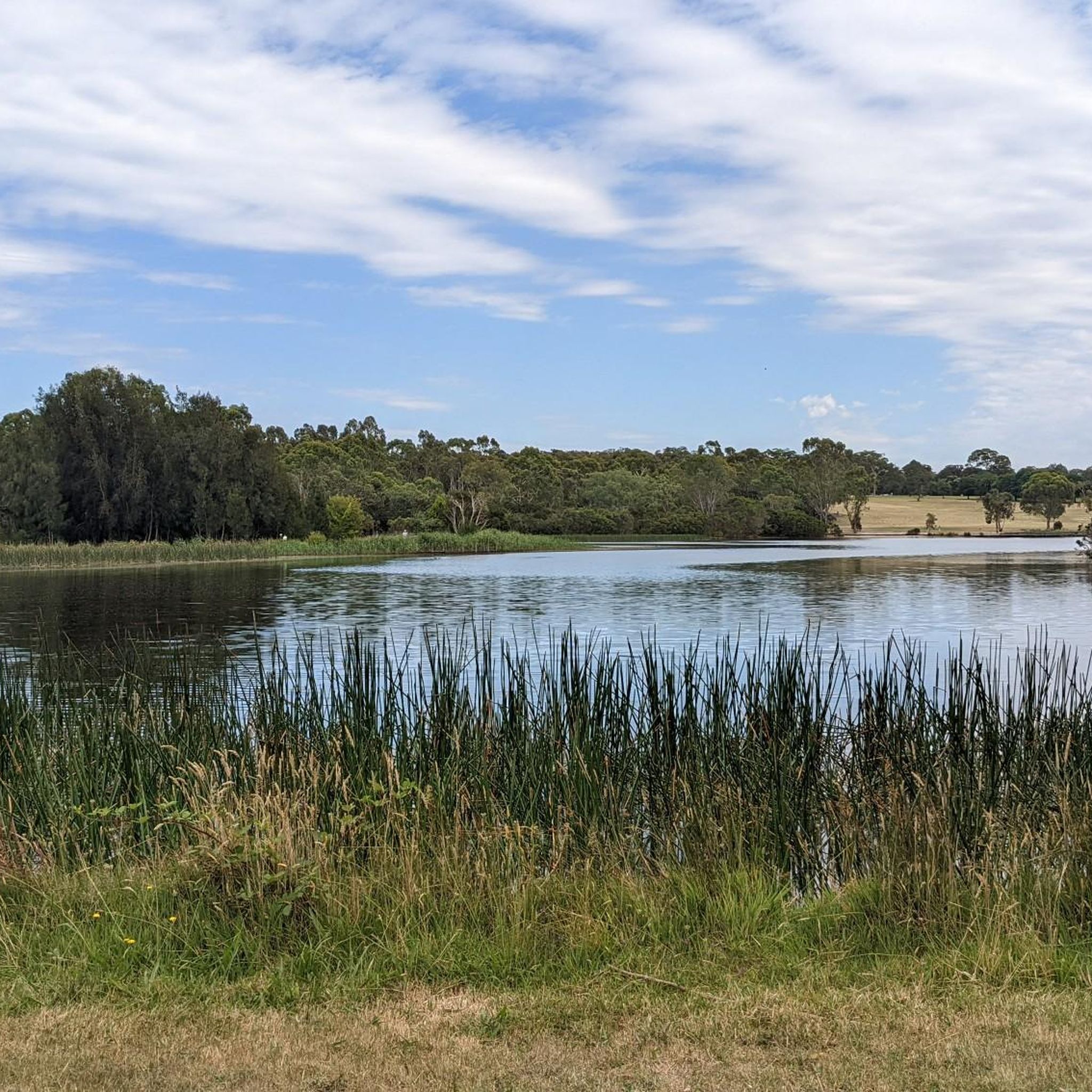
Located within Birdsland Reserve, this retarding basin is a broad, open floodplain designed to manage water flow along Monbulk Creek. When dry, it forms a wide grassed space with open sightlines and a more exposed feel compared to the surrounding forested tracks. The creek runs through the basin, with changing water levels depending on rainfall. After wet periods, sections can become muddy or hold water, altering access across the area.
0
0

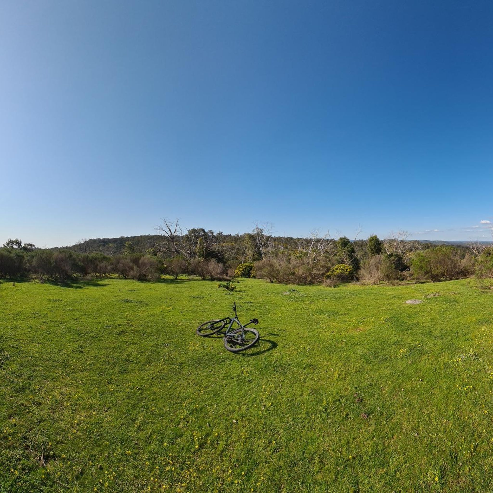
Glen Track is a lovely shared-use route within Lysterfield Park that winds through open woodland and bushland near the park’s central area. The track is wide and relatively flat, making it ideal for walking, running, and cycling. Connecting with other tracks in the park network, it’s an easy, accessible route perfect for an extended walk to explore more of the beautiful surrounding landscape.
0
0
Boys Farm Heritage Walk is a short interpretive path within Lysterfield Park that explores the history of the former boys’ farm established on this site. The walk passes through remains and signage that highlight the property’s agricultural and social history, nestled within open parkland and beautiful bush surroundings. It’s an easy, well-marked route that’s a brief, informative detour while exploring the wider park pathway network.
0
0
Frequently Asked Questions
How many running routes are available in Churchill National Park?
Churchill National Park offers a good selection of running routes, with over 10 different trails to explore. These range from moderate to difficult, catering to various fitness levels.
What kind of terrain can I expect on the jogging trails in Churchill National Park?
The park features diverse terrain, including well-formed gravel paths and narrower natural tracks. You'll encounter a mix of open woodlands and remnants of original forest. Some routes, like the Valley View Track loop, include challenging inclines and significant elevation gain, while others offer more gentle paths.
Are there any family-friendly running options in Churchill National Park?
While many trails feature challenging inclines, the park does offer some paths that might be suitable for families, especially those with older children or those looking for a less strenuous walk. For a moderate option, consider the Eumemmerring Creek Wetland loop, which is shorter and has less elevation change.
Can I bring my dog on the running trails in Churchill National Park?
Churchill National Park has specific regulations regarding dogs to protect its native wildlife. Generally, dogs are not permitted on trails within the national park itself. It's always best to check the official Parks Victoria website for the most current guidelines regarding pet access: parks.vic.gov.au.
What kind of wildlife might I see while jogging in the park?
Churchill National Park is rich in wildlife. Joggers frequently spot Eastern Grey Kangaroos and Swamp Wallabies along the trails. You might also encounter Echidnas and a wide variety of birdlife, including kookaburras, magpies, and even Powerful Owls. The park is home to over 150 bird species.
Are there any circular running routes in Churchill National Park?
Yes, many of the running routes in Churchill National Park are designed as loops, allowing you to start and finish at the same point. Examples include the challenging Lysterfield Hills – Churchill National Park loop, which offers panoramic views, and the Running loop from Lysterfield Park.
What are the best times of year to go running in Churchill National Park?
The park is enjoyable year-round, but spring is particularly beautiful with wildflowers blooming abundantly. Autumn offers pleasant temperatures and vibrant foliage. Summer mornings and evenings are ideal to avoid the heat, while winter runs can be refreshing, though some paths might be muddy after rain. Always check local weather conditions before heading out.
Are there any historical features or viewpoints along the running trails?
Absolutely! The park contains remnants of an old aqueduct and pipeline, with the Channel Track running alongside the former. For stunning views, the Trig Point Lookout, accessible via Stonemasons Track, offers 360-degree vistas of the park, Melbourne's skyline, Frankston, and the Dandenong Ranges, making for a rewarding stop during your run.
Is there public transport access to Churchill National Park for runners?
Churchill National Park is located in Melbourne's southeastern suburbs. While direct public transport to all trailheads might be limited, you can plan your journey using Melbourne's public transport network to get close to the park's vicinity. It's advisable to check the PTV (Public Transport Victoria) website for the most up-to-date routes and schedules to plan your approach.
What do other runners enjoy most about jogging in Churchill National Park?
The area is highly rated by the komoot community, with an average score of 5.0 stars. Reviewers often praise the park's diverse landscapes, the opportunity to spot abundant wildlife, and the rewarding circuits through open woodlands with stunning hilltop vistas. The mix of challenging inclines and peaceful tracks is also frequently highlighted.
Are there facilities like parking or toilets available for runners?
Yes, Churchill National Park provides facilities for visitors. You'll find picnic grounds, toilets, and shelter available within the park, making it convenient for runners to access amenities before or after their run. Parking areas are also available at various entry points to the trail network.
Are there any challenging running routes for experienced runners?
Yes, Churchill National Park is well-suited for experienced runners looking for a challenge. Many routes feature significant elevation gain and varied terrain. For instance, the One Tree Hill – Sherbrooke Forest loop is a difficult 14.2 km trail with substantial climbs, offering a rigorous workout.
Most popular routes in Churchill National Park

Get inspired with the komoot mobile app


Explore more
Browse the best Running Trails & Routes in other regions.
