The best cycling routes in Churchill National Park
4.8
(80)
550
riders
30
rides
Touring cycling in Churchill National Park offers diverse routes through woodlands, open forests, and heathland, preserving a glimpse of the region's original landscape. The park features varied terrain, from relatively flat sections to routes with significant elevation gain, catering to different fitness levels. Cyclists can explore both paved and unpaved surfaces, with specific tracks like the eastern boundary track suitable for riding. The landscape includes over a dozen eucalypt species and offers panoramic views towards the Melbourne skyline and Dandenong Ranges from points like Trig Point Lookout.
Best touring cycling routes in Churchill National Park
- The most popular touring cycling route is Patterson Lakes Marina – Patterson River loop from Endeavour Hills, a 23.6 miles (38.0 km) trail that takes 2 hours 46 minutes to complete. This route offers a moderate challenge with varied scenery along the river.
- Another top favourite among local touring cyclists is Dandenong Park Trail – Valley View Track loop from Rowville Secondary College Western Campus, a difficult 29.0 miles (46.7 km) path. This trail features significant elevation changes and diverse landscapes, requiring good fitness.
- Local touring cyclists also love the Stella’s Kitchen loop from Lysterfield Park, a 4.7 miles (7.6 km) trail leading through varied parkland, often completed in about 41 minutes. Despite its shorter length, this route is rated difficult, offering a compact challenge.
- Touring cycling in Churchill National Park is defined by open forest, woodland, and heathland, with views of the Dandenong Ranges. The network offers options for different ability levels, from easy rides to more challenging routes with substantial climbs.
- The routes in Churchill National Park are highly rated by the komoot community with an average score of 4.7 stars from over 70 reviews. More than 500 touring cyclists have used komoot to explore Churchill National Park's varied terrain.
Last updated: July 11, 2026
4.8
(8)
28
riders
Moderate bike ride. Good fitness required. Mostly paved surfaces. Suitable for all skill levels.
5.0
(1)
7
riders
Moderate bike ride. Good fitness required. Mostly paved surfaces. Suitable for all skill levels.

Sign up for free
5.0
(4)
8
riders
10.7km
00:41
40m
40m
Easy bike ride. Great for any fitness level. Mostly paved surfaces. Suitable for all skill levels.
4.5
(2)
3
riders
Easy bike ride. Great for any fitness level. Mostly paved surfaces. Suitable for all skill levels.
5.0
(1)
32
riders
50.6km
03:04
380m
380m
Moderate bike ride. Good fitness required. Mostly paved surfaces. Suitable for all skill levels.
Get access to more routes and recommendations from other explorers.
Sign up for free
Already have an account?
Our route recommendations are based on thousands of hikes, rides, and runs completed by other people on komoot.
Start today with a free account
Your next adventure awaits.
Login or Signup

Tips from the Community

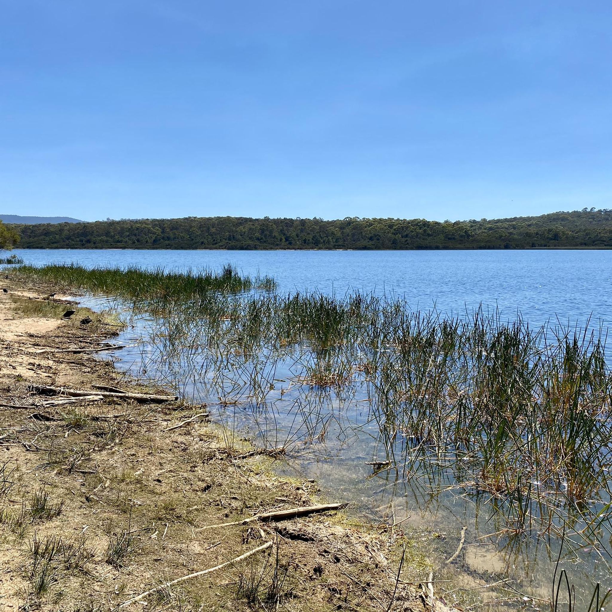
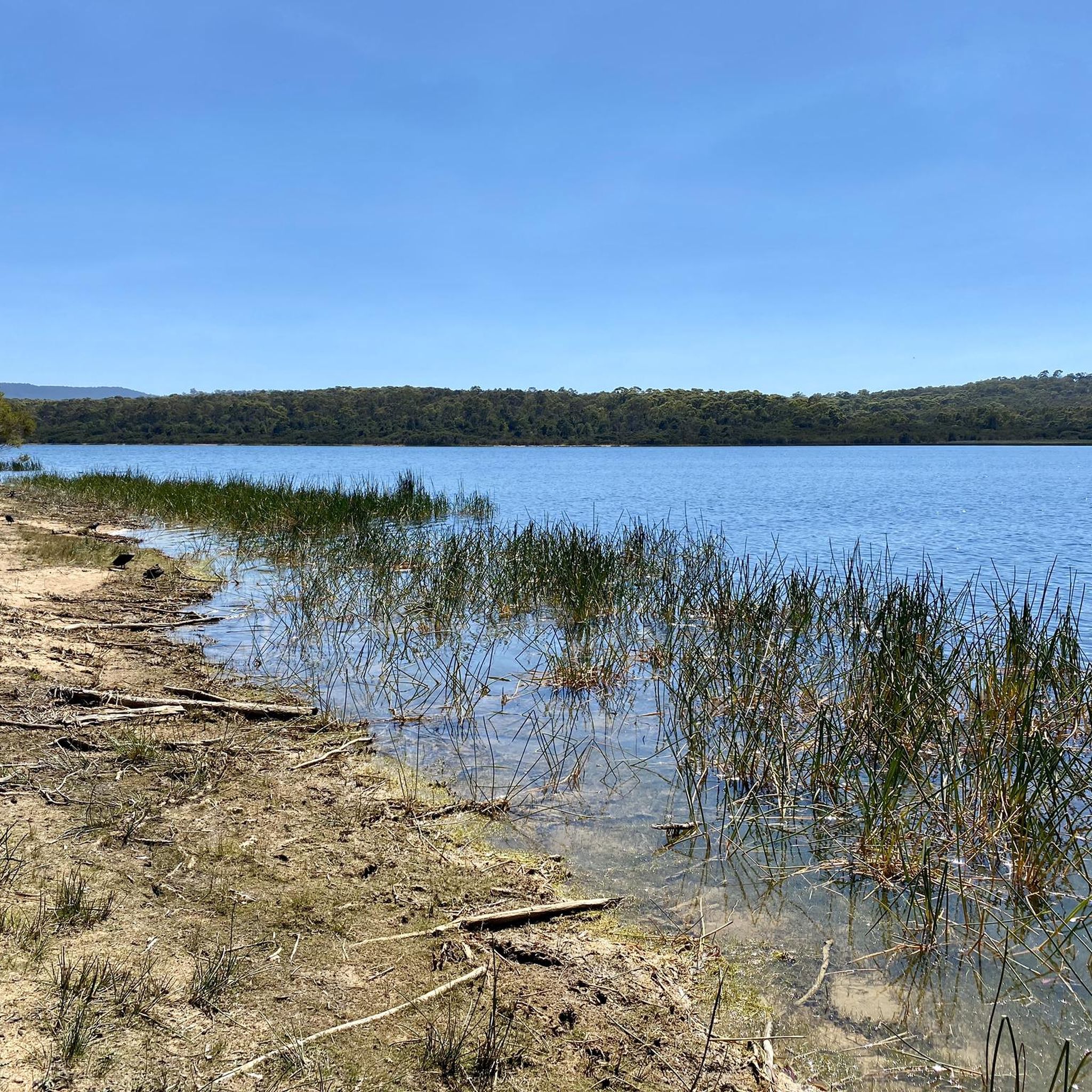
Jells Lake sits at the centre of Jells Park and is the heart of the reserve. As you walk around the lake, you’ll pass wetlands and sheltered viewing areas that are great for birdwatching. This lake is home to a wide variety of waterbirds, including pelicans, swamphens, ducks and cormorants. There are boardwalks and jetties popular for fishing, and a bird hide, perfect for a quiet place to pause and take in the lakeside surroundings.
0
0
Troups Creek is a small waterway that flows through a series of parks, reserves, and residential areas. It’s part of the local drainage system within the more expansive Dandenong Creek catchment, with sections that run along walking paths, creating a lovely linear green space through the surrounding suburbs.
0
0

The Dandenong Creek Trail runs for roughly 44 kilometres along its namesake creek and the Patterson River. It is a mixed-use path popular with hikers, joggers, and cyclists. It's flat, well-maintained terrain make is suitable for most users and it connects to other local trails and passes through numerous parks and wetlands.
0
0
The suburb of Patterson Lakes sites on the shores of Port Philip Bay and is known for is canals and picturesque views. The area is built on the former Carrum Carrum Swamp that was drained when the Patterson River was created in the late 1870's.
0
0
At only 6 kilometres in length the Patterson River is the shortest river in Victoria. Although it's not exactly a true river as it was cut out in 1878 to allow the coastal swampland to drain. Initially the drained swamp was used for farming and dairy cattle. Today the suburb of Patterson Lakes occupies much of the area along with restored wetlands, a golf course, parks, and several small marinas.
0
0
The Koonung Trail is a sealed shared-use path that follows Koonung Creek through Melbourne’s eastern suburbs. Popular with both cyclists and walkers, it runs largely alongside the Eastern Freeway and provides a convenient corridor linking Doncaster, Balwyn North and Box Hill to inner-city trail networks. The trail connects with major routes, such as the Main Yarra Trail, making it an important part of Melbourne’s larger active trail network.
0
0
Mullum Mullum Park is a beautiful bushland reserve in Melbourne’s east, centred along the Mullum Mullum Creek corridor. The park includes shared walking and cycling paths, along with native vegetation that supports local birdlife and wildlife. It forms part of a larger green space network connecting surrounding reserves and trails, making it an ideal place for a natural escape within the suburbs.
0
0

Please note cyclists the Koomba boardwalk is CLOSED by the authorities. Use the bridge over Burwood Highway.
0
0
Frequently Asked Questions
How many touring cycling routes are available in Churchill National Park?
Churchill National Park offers over 30 touring cycling routes, catering to various skill levels. These include 11 easy routes, 13 moderate routes, and 9 more challenging options, ensuring there's a ride for every cyclist.
What kind of terrain can I expect on the touring cycling routes in Churchill National Park?
The park features diverse terrain, including both paved and unpaved surfaces. You'll cycle through open forest, woodland, and heathland, experiencing varied landscapes from relatively flat sections to routes with significant elevation gain. Specific tracks like the eastern boundary track are suitable for cycling.
Are there any family-friendly touring cycling routes in Churchill National Park?
Yes, the park offers several easy touring cycling routes that are suitable for families. These typically involve minimal elevation gain and shorter durations, providing a pleasant experience for all ages. Look for routes rated as 'easy' on komoot, which make up about a third of the park's offerings.
Can I spot wildlife while cycling in Churchill National Park?
Absolutely! Churchill National Park is a haven for wildlife. Cyclists often encounter Eastern Grey Kangaroos and Swamp Wallabies. Keep an eye out for Echidnas foraging during the day, and listen for the calls of over 150 bird species, including Powerful owls, parrots, and Superb Fairy-wrens. The park also supports various frogs and reptiles.
What are some notable landmarks or points of interest to see along the cycling routes?
While cycling, you can visit the Trig Point Lookout, which offers panoramic 360-degree views of the park, the Melbourne skyline, and the Dandenong Ranges. You might also encounter remains of the historic Scoresby Tramway and cycle alongside the peaceful Channel Track, which follows a historic water supply channel.
Are there any circular touring cycling routes in Churchill National Park?
Yes, many of the touring cycling routes in Churchill National Park are designed as loops, allowing you to start and finish at the same point. For example, the Patterson Lakes Marina – Patterson River loop from Endeavour Hills is a popular circular route offering varied scenery.
What is the best time of year to go touring cycling in Churchill National Park?
Spring is particularly beautiful for cycling in Churchill National Park, as wildflowers are abundant. However, the park offers enjoyable cycling conditions throughout much of the year. Always check local weather forecasts before heading out, especially during summer for heat or winter for cooler, potentially wetter conditions.
Where can I find amenities like restrooms or picnic areas in Churchill National Park?
The park provides picnic grounds equipped with gas barbecues, toilets, and shelters, offering convenient spots for a break or a meal during your ride. These facilities are generally well-maintained for visitor comfort.
Is Churchill National Park suitable for e-biking?
Yes, e-biking is permitted on certain trails within Churchill National Park. This allows more cyclists to enjoy the park's diverse landscapes, especially on routes with significant elevation changes.
How can I get to Churchill National Park using public transport for cycling?
While direct public transport to the park's entrances might be limited, you can plan your journey to nearby suburbs like Rowville or Endeavour Hills, and then cycle the remaining distance. For detailed public transport information, it's best to consult local transport authorities or the official Parks Victoria website: Parks Victoria - Churchill National Park.
What do other touring cyclists say about their experience in Churchill National Park?
The touring cycling routes in Churchill National Park are highly rated by the komoot community, with an average score of 4.7 stars from over 70 reviews. Cyclists often praise the park's diverse landscapes, the opportunity to spot wildlife, and the variety of routes available for different fitness levels.
Are there any specific tracks that are not accessible to cyclists?
Yes, while many tracks are open to cyclists, some walking tracks are not accessible for bikes. The Koomba boardwalk, for instance, is closed to cyclists. Clear signage throughout the park indicates appropriate routes for cycling. An alternative bridge over Burwood Highway offers a cycling-friendly option.
Where can I find more detailed information or a visitor guide for Churchill National Park?
For comprehensive information, including detailed maps and visitor guidelines for both Churchill National Park and adjacent Lysterfield Park, you can download the official visitor guide from Parks Victoria: Lysterfield Park and Churchill National Park Visitor Guide.
Most popular routes in Churchill National Park

Get inspired with the komoot mobile app


Explore more
Browse the best Cycling routes in other regions.
