The best MTB trails in Churchill National Park
5.0
(9)
82
riders
15
rides
Mountain biking in Churchill National Park, located in the Greater Melbourne region of Victoria, Australia, offers diverse landscapes for riders. The park features tranquil woodlands, original forest areas, and open ridges. Trails often include significant uphill climbs leading to rewarding views, with varied terrain suitable for different skill levels.
Best mountain bike trails in Churchill National Park
- The most popular mountain bike trail is Valley View Track loop from Lysterfield South, a 6.2 miles (9.9 km) trail that takes about 54 minutes to complete. This route offers a challenging ride through varied park terrain.
- Another top favourite among local mountain bikers is Valley View Track loop from Churchill National Park, a difficult 12.9 miles (20.8 km) path. This trail features substantial elevation gain and immersive woodland scenery.
- Local mountain bikers also love the Stock Yard Gates loop from Rowville, a 28.6 miles (46.1 km) trail leading through woodlands and open areas, often completed in about 3 hours 17 minutes.
- Mountain biking in Churchill National Park is defined by tranquil woodlands, open ridges, and rewarding viewpoints. The network offers options for different ability levels, from moderate paths to more difficult climbs.
- The routes in Churchill National Park are highly rated by the komoot community with an average score of 4.99 stars from over 45 reviews. More than 900 mountain bikers have used komoot to explore Churchill National Park's varied terrain.
Last updated: July 2, 2026
5.0
(2)
18
riders
20.6km
02:00
420m
420m
Hard mountain bike ride. Good fitness required. Advanced riding skills necessary. Some portions of the route may require you to push your bike.
2
riders
Moderate mountain bike ride. Good fitness required. Suitable for all skill levels.

Sign up for free
6
riders
32.7km
02:45
470m
470m
Hard mountain bike ride. Good fitness required. Advanced riding skills necessary. Some portions of the route may require you to push your bike.
5
riders
Hard mountain bike ride. Great for any fitness level. Advanced riding skills necessary. Some portions of the route may require you to push your bike.
5.0
(1)
9
riders
19.6km
01:53
390m
390m
Hard mountain bike ride. Good fitness required. Advanced riding skills necessary. Some portions of the route may require you to push your bike.
Get access to more routes and recommendations from other explorers.
Sign up for free
Already have an account?
Our route recommendations are based on thousands of hikes, rides, and runs completed by other people on komoot.
Start today with a free account
Your next adventure awaits.
Login or Signup

Tips from the Community

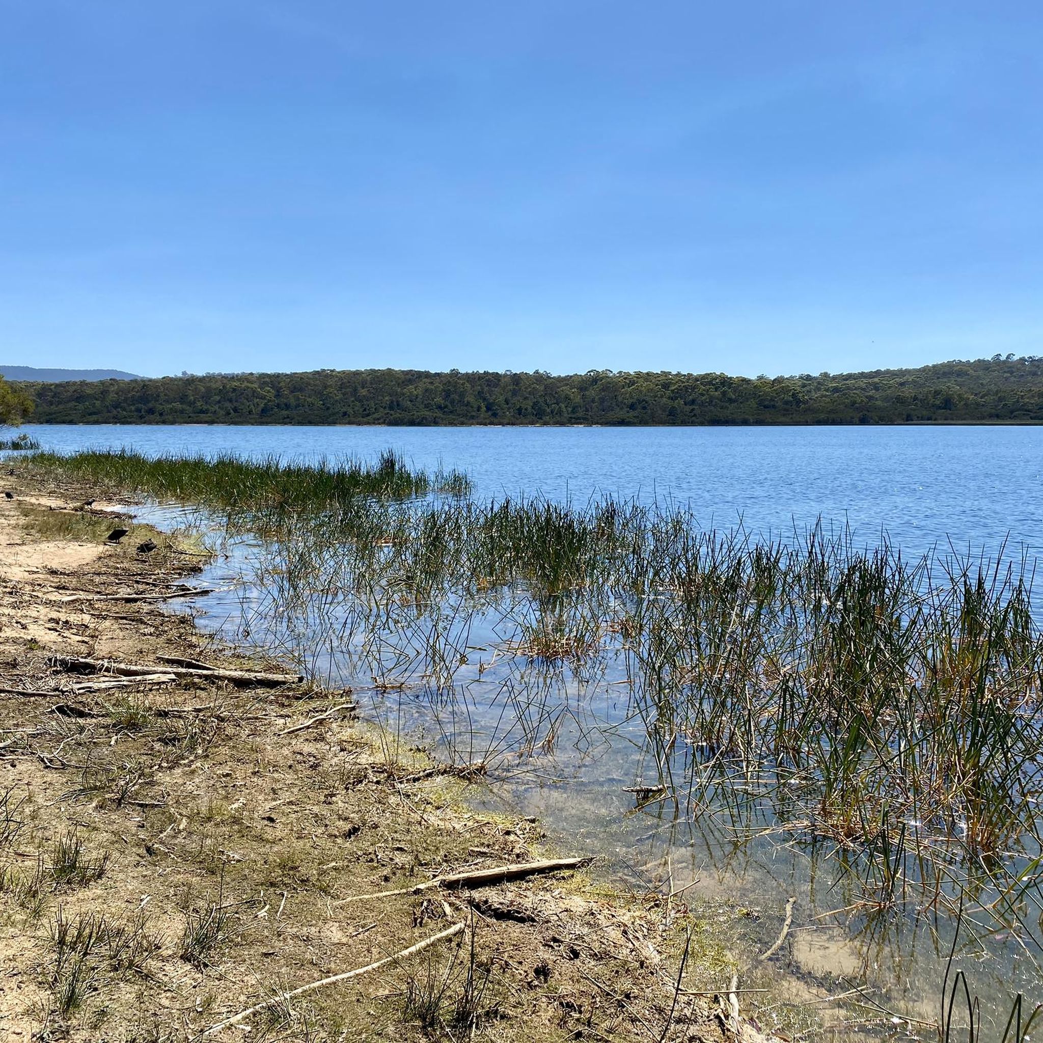
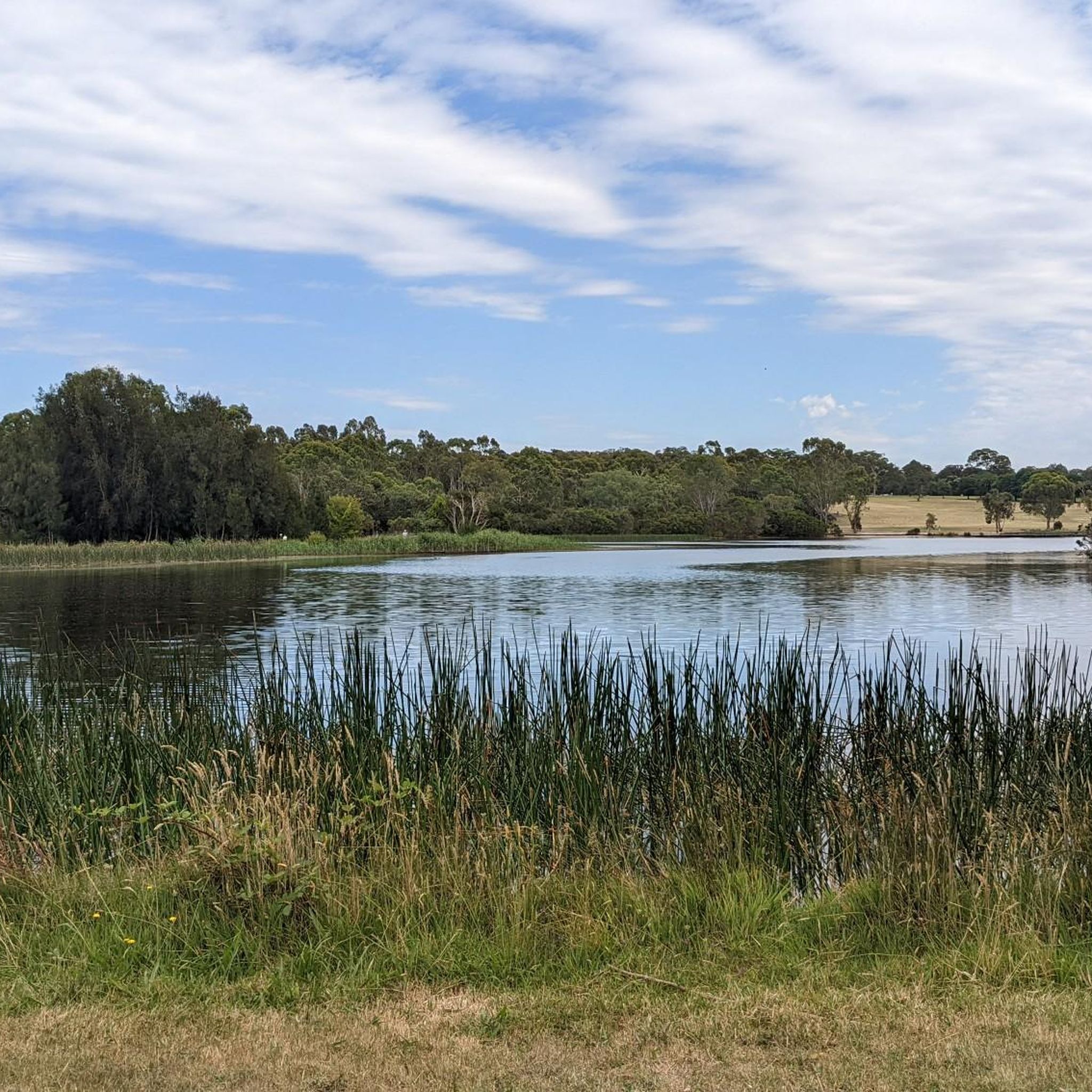
Jells Park is a lovely, large park in Melbourne’s southeast, nestled within the Dandenong Creek Valley. There are expansive open lawns, picnic areas and playgrounds with pockets of bushland and wetlands. Covering around 127 hectares, the park also includes more than 9 kilometres of walking and cycling paths, making it a popular place for walking, birdwatching, and spending time outdoors.
0
0
The trails through Jells Park form an easy network of sealed and gravel routes that loop around the lake and through open parkland and bushland. Most are wide and gently graded, popular for walking, running, and cycling, with several sections connecting to larger trails, including the Dandenong Creek and Scotchmans Creek trails. The open lawns, wetlands, quieter bushland areas, and beautiful views of the lake make the trails a lovely option for a short or more extended, peaceful walk through the park.
0
0

Lamberts Track is a wide gravel path running through open eucalypt forest, forming part of the park’s main walking and running network. The track is relatively flat with a gentle gradient, making it one of the easier sections to move through. It has a more open feel compared to narrower bush tracks, with long sightlines ahead and fewer obstacles underfoot.
0
0
Trig Point Lookout sits at one of the higher points in the Lysterfield and Churchill park area, with elevated views across Melbourne, the Dandenong Ranges, Arthur’s Seat, and Western Port Bay on clearer days. The climb to the lookout follows a steeper gravel track through eucalypt forest, with kangaroos and birdlife commonly seen along the route. The lookout itself is relatively open compared to the surrounding bushland, creating wider sightlines across the landscape.
0
0
Running through Birdsland Reserve, Blackwood Walk is a short multi-use trail linking into the wider network toward Lysterfield Park. The track is shared by walkers, runners, and mountain bikers, and connects easily into longer loop routes across the reserve.
0
0
Birdsland Reserve spans around seventy-five hectares of open hills, small lakes, and sections of bushland along Monbulk Creek. The landscape shifts between exposed grassy slopes and more sheltered creekside areas, with birdlife active around the water and occasional kangaroos in the open sections. Tracks range from flatter paths near the lakes to steeper climbs across the hills, with wider views across the surrounding area.
0
0
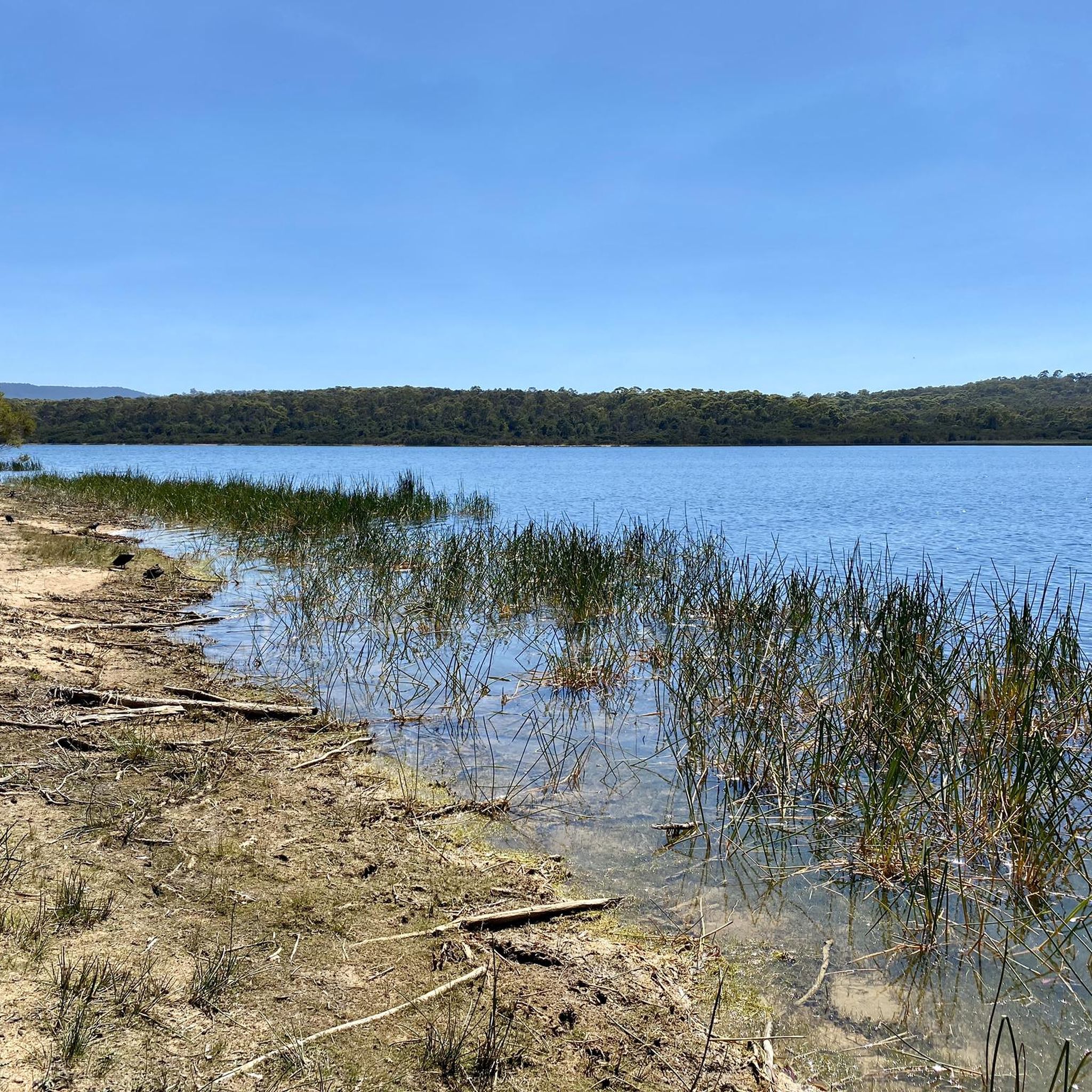
Located within Birdsland Reserve, this retarding basin is a broad, open floodplain designed to manage water flow along Monbulk Creek. When dry, it forms a wide grassed space with open sightlines and a more exposed feel compared to the surrounding forested tracks. The creek runs through the basin, with changing water levels depending on rainfall. After wet periods, sections can become muddy or hold water, altering access across the area.
0
0
Glen Track is a lovely shared-use route within Lysterfield Park that winds through open woodland and bushland near the park’s central area. The track is wide and relatively flat, making it ideal for walking, running, and cycling. Connecting with other tracks in the park network, it’s an easy, accessible route perfect for an extended walk to explore more of the beautiful surrounding landscape.
0
0
Frequently Asked Questions
What kind of terrain can I expect when mountain biking in Churchill National Park?
Churchill National Park offers a diverse range of terrain for mountain bikers. You'll find tranquil woodlands, original forest areas, and open ridges. Trails often include significant uphill climbs leading to rewarding views. The park also features wide gravel paths and fire trails, alongside more technical singletracks like the Black Diamond-rated Churchill DH trail, which includes berms, drops, jumps, and rock faces.
Are there mountain bike trails suitable for beginners in Churchill National Park?
While some trails in Churchill National Park can be challenging, there are options for various skill levels. The park includes wide gravel paths and fire trails that are generally less technical. For those looking for an easier ride, komoot lists 3 easy mountain bike routes within the park, and the adjacent Lysterfield Park also offers a skills park for beginners.
What are the options for experienced mountain bikers looking for a challenge?
Experienced mountain bikers will find plenty of challenging routes. The park is known for its technical downhill trails, such as the 2.5 km Black Diamond-rated Churchill DH trail, which features berms, drops, jumps, and rock faces. Other advanced options include trails like Churchill Enduro and CH DH 2.0. Overall, komoot lists 15 difficult mountain bike routes in the area, offering substantial elevation gain and technical sections.
What are the typical lengths and durations of mountain bike trails in Churchill National Park?
Trail lengths and durations vary significantly. For example, the Valley View Track loop from Lysterfield South is about 9.9 km and takes around 54 minutes. Longer, more challenging routes like the Valley View Track loop from Churchill National Park span approximately 20.8 km and can take over 2 hours. The longest routes, such as the Stock Yard Gates loop from Rowville, can be up to 46.1 km and take over 3 hours.
Are there any notable landmarks or viewpoints along the mountain bike trails?
Yes, a significant attraction within Churchill National Park is the Trig Point Lookout, accessible via trails like Stonemasons Track. This lookout offers panoramic 360-degree views of the park, extending towards the Melbourne skyline and the Lysterfield Hills. Many trails also lead through peaceful woodlands, offering opportunities to spot native wildlife and enjoy scenic natural beauty.
Is Churchill National Park suitable for family mountain biking?
Churchill National Park can be suitable for families, especially those with some biking experience. While some trails are quite challenging, there are also wide gravel paths and fire trails that offer a less technical ride. The park's natural environment and opportunities to spot wildlife can make for an enjoyable family outing. For specific family-friendly routes, look for the easier-rated trails on komoot.
What is the policy on dogs on mountain bike trails in Churchill National Park?
Churchill National Park is a haven for native flora and fauna. To protect the wildlife, dogs are generally not permitted on trails within Churchill National Park. It's always best to check the latest regulations on the Parks Victoria website for specific details before your visit.
What do other mountain bikers enjoy most about riding in Churchill National Park?
The area is highly rated by the komoot community, with an average score of 4.99 stars from over 45 reviews. Reviewers often praise the diverse terrain, from tranquil woodlands to challenging downhill sections, and the rewarding viewpoints. Many appreciate the immersive natural environment and the chance to spot native wildlife while riding.
What is the best time of year to go mountain biking in Churchill National Park?
Churchill National Park can be enjoyed year-round, but the best time often depends on personal preference. Spring and autumn offer milder temperatures, which are ideal for longer rides. Summer can be hot, so early morning or late afternoon rides are recommended. Winter can be cooler and potentially wetter, but the trails remain accessible, offering a different riding experience through the woodlands.
Are there facilities like parking or public transport access for mountain bikers?
Yes, Churchill National Park provides picnic areas and public toilets for visitors. Parking is available at various access points to the park. While specific public transport options directly to trailheads might be limited, the park is located within the Greater Melbourne region, making it accessible by car. For detailed information on access and facilities, you can consult the Parks Victoria website.
Are e-bikes allowed on the mountain bike trails in Churchill National Park?
Yes, e-biking is permitted within Churchill National Park. This allows a wider range of riders to enjoy the park's offerings, including its varied terrain and scenic routes. However, it's always advisable to check for any specific trail restrictions or updates on the Parks Victoria website.
Where can I find amenities like cafes or accommodation near Churchill National Park?
Churchill National Park is situated in the Greater Melbourne region, meaning there are various amenities available in nearby towns and suburbs. You'll find cafes, pubs, and accommodation options in surrounding areas like Rowville, Lysterfield South, and other parts of Melbourne's eastern suburbs. These areas provide convenient services for visitors to the park.
Most popular routes in Churchill National Park

Get inspired with the komoot mobile app


Explore more
Browse the best MTB trails in other regions.
