The best walks and hikes in Garigal National Park
4.5
(636)
11,393
hikers
273
hikes
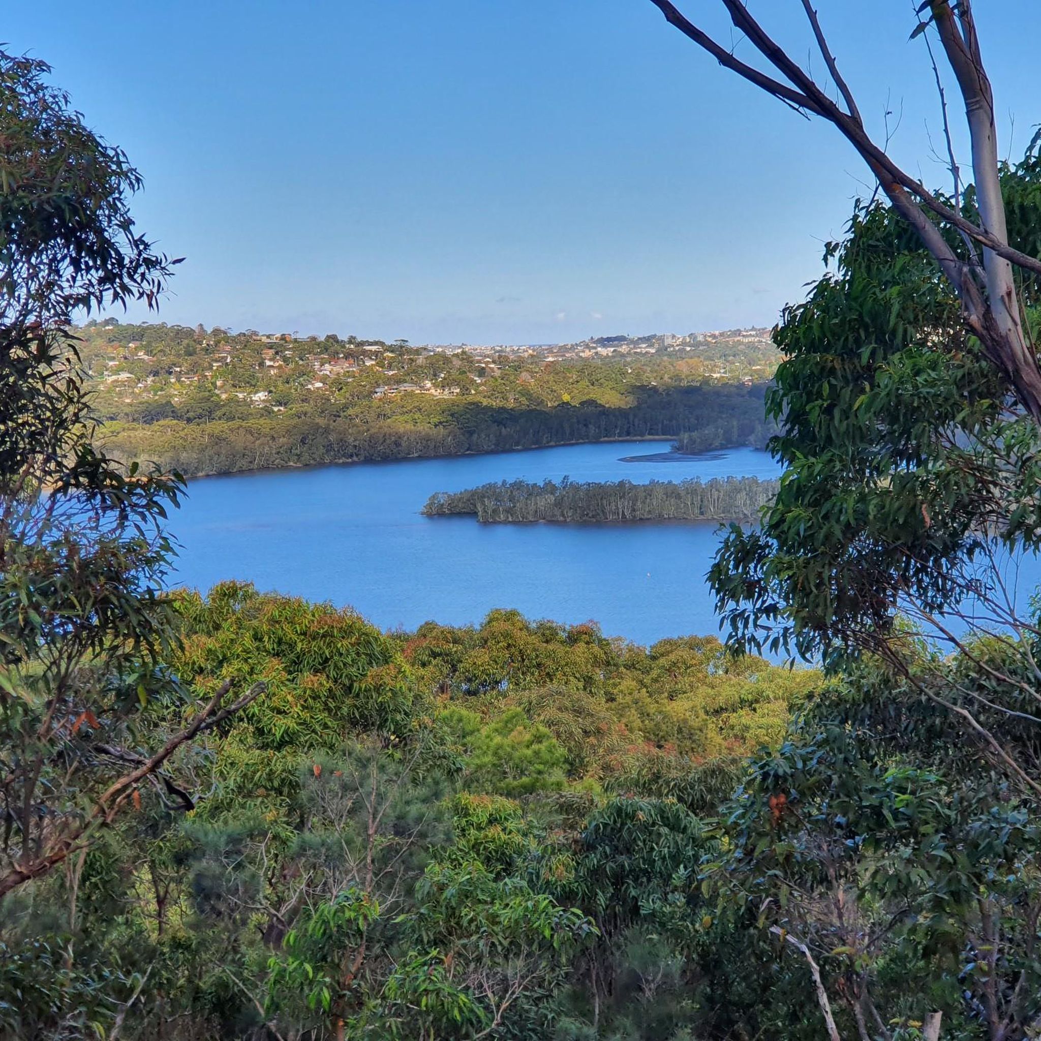
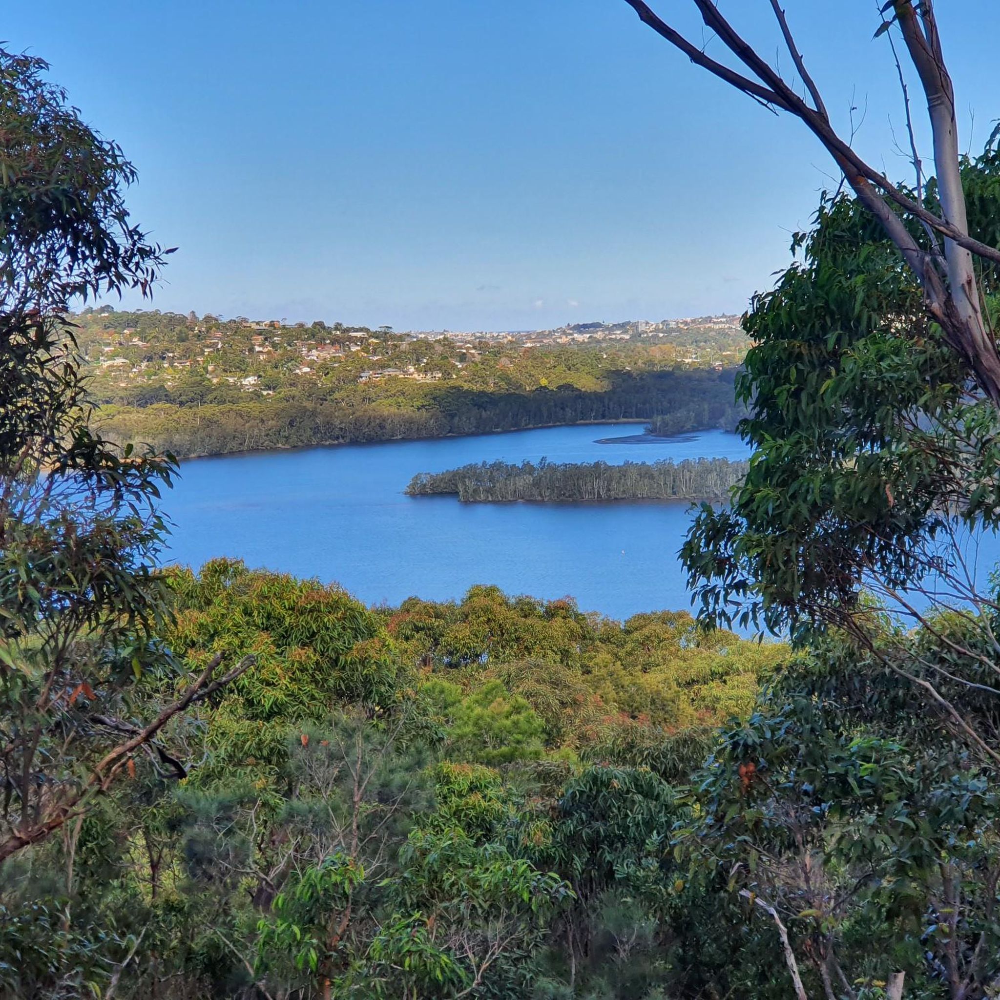
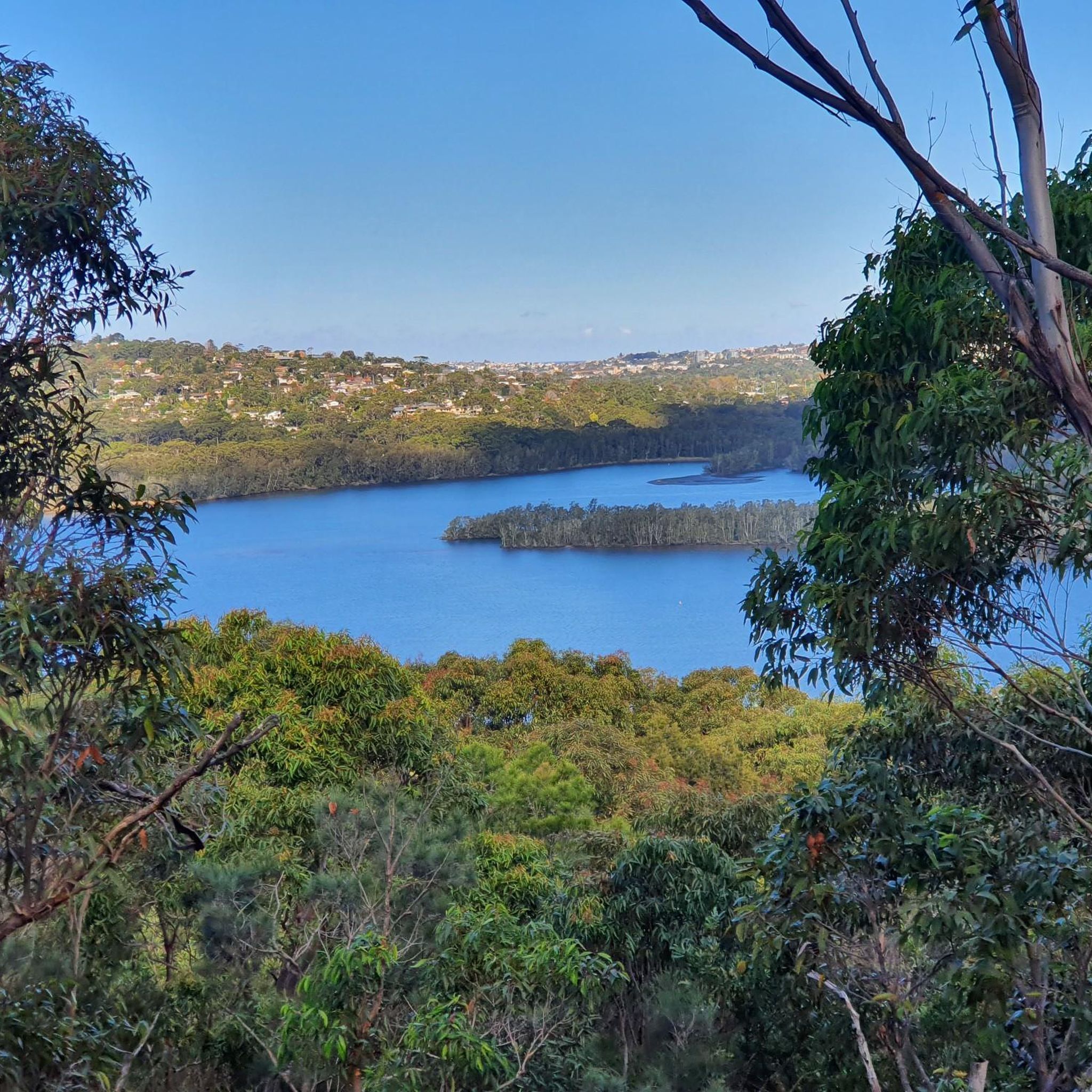
Hiking in Garigal National Park offers a diverse landscape characterized by impressive sandstone country, extensive waterways, and varied bushland. The park features numerous cascades and waterfalls, including "The Cascades" where Middle Harbour and Frenchs creeks meet. Dry sclerophyll forests, heathlands, and mangroves provide a rich natural environment for exploration. Many trails lead to lookouts offering views across Bantry Bay and forested valleys.
Best hiking trails in Garigal National Park
- The most popular hiking route is Creek Beach – Rocky Waterfall loop from Dalrymple-Hay Nature Reserve, a 10.9 miles (17.5 km) trail that takes 4 hours 44 minutes to complete, featuring tranquil water views and rocky formations.
- Another top favourite among local hikers is Timber Getters Track Wharf loop from Forestville, a difficult 4.1 miles (6.6 km) path that winds through varied bushland and offers views of the waterways.
- Local hikers also love the Timber Getters Track Wharf loop from Manly Warringah War Memorial State Park, a 4.0 miles (6.5 km) trail leading through heavily forested areas, often completed in about 1 hour 57 minutes.
- Hiking in Garigal National Park is defined by sandstone formations, diverse bushland, and numerous waterways, offering options for various ability levels from easy strolls to more challenging hikes.
- The routes in Garigal National Park are highly rated by the komoot community with an average score of 4.6 stars from over 700 reviews. More than 12,000 hikers have used komoot to explore Garigal National Park's varied terrain.
Last updated: November 14, 2026
3.0
(1)
33
hikers
6.54km
02:00
160m
160m
Hard hike. Good fitness required. Sure-footedness, sturdy shoes and alpine experience required.
10
hikers
6.43km
01:55
200m
200m
Easy hike. Easily walkable paths.

5.0
(1)
4
hikers
4.94km
01:29
150m
150m
Easy hike. Easily walkable paths.
2
hikers
10.7km
02:49
80m
80m
Moderate hike. Good fitness required. Easily walkable paths.
4.7
(6)
26
hikers
17.6km
04:45
240m
240m
Moderate hike. Good fitness required. Easily walkable paths.
Get access to more routes and recommendations from other explorers.
Already have an account?
Our route recommendations are based on thousands of hikes, rides, and runs completed by other people on komoot.
Start today with a free account
Your next adventure awaits.

Tips from the Community

Ku-ring-gai Wildflower Garden is a 123-hectare protected native bushland sanctuary and botanical garden where you can walk a variety of trails and enjoy some up-close views of a variety of wildflowers. There is a visitor centre with parking and the garden itself is open from 8:00am-5:00pm daily. Please note that there are family friendly walks here, but dogs are not allowed.
0
0
This track begins at the visitor's centre and winds for 3 kilometres around the perimeter of the wildflower garden, You can do a full loop around the track or take one of the connector trails to make a shorter loop through Solander Trail or the Brown Trail.
0
0
The Solander Trail runs for about 2 kilometers through the heart of the wildflower garden. Along this section you can enjoy the Hawkesbury Sandstone habitat and catch a glimpse of some amazing wildflowers.
0
0

You can reach this lookout from either direction, each having its own distinct advantages. If you start out on the north end, a short 1/2 kilometre walk from Ararat Reserve will get you here, so this is the best option if you're pressed for time. Approaching from the south means a longer, and steeper walk, but you'll also have a long stretch along the water of Bantry Bay. Either way, once you reach the lookout you'll be treated to panoramic views of Garigal National Park.
0
0
From this point on the Engraving Track you'll have a view of a number of Aboriginal engravings in the sandstone bedrock. The area is fenced off to protect the engravings, but it's a good place to stop and appreciate the long human history on the land that now makes up Garigal National Park.
0
0
Located just off of Timber Getters Track and right next to the Bantry Bay Picnic Area, this small public wharf is a great place to rest and enjoy the scenery while exploring Garigal National Park. In addition to the wharf the picnic area has open grassy fields, fireplaces, picnic tables, and toilets.
1
0
This park is tucked away along the Burnt Bridge Creek Trail and right across from the Manly Golf Club. The open fields are popular for a wide range of sports, with regular Saturday games of club soccer and cricket being played.
0
0
This shared-use path follows its namesake creek between North Balgowlah and Keirle Park. Along the way it passes by a number of neighbourhoods, parks, and reserves, making it a great way to explore this part of North Sydney.
0
0
Frequently Asked Questions
How many hiking trails are available in Garigal National Park?
Garigal National Park offers an extensive network of over 270 hiking routes, catering to a wide range of preferences and fitness levels. This includes approximately 140 easy trails, 120 moderate routes, and 14 more challenging options for experienced hikers.
What kind of landscapes and natural features can I expect to see while hiking in Garigal National Park?
Hikers in Garigal National Park will discover diverse landscapes, including impressive sandstone country with unique formations like the Natural Bridge. The park is rich in waterways, featuring tranquil views along Middle Harbour Creek and several cascades and waterfalls, such as "The Cascades" and those along Bare Creek. You'll also traverse varied bushland, from dry sclerophyll forests and heathlands with seasonal wildflowers to mangroves and heavily forested areas with tall Sydney red gums.
Are there any waterfalls or natural rock formations to see in Garigal National Park?
Yes, Garigal National Park is known for its beautiful water features and sandstone formations. You can find several cascades and waterfalls, notably "The Cascades" where Middle Harbour and Frenchs creeks meet, and a series of splendid waterfalls along Bare Creek. The park also features impressive sandstone country, including the Natural Bridge, which is the only natural rock arch in the Sydney metropolitan area.
Are there easy hiking trails suitable for beginners or families in Garigal National Park?
Absolutely. Garigal National Park has over 140 easy trails, many of which are suitable for beginners and families. These routes often provide a gentle introduction to the park's natural beauty, allowing for enjoyable strolls through diverse bushland and along tranquil waterways. While not explicitly mentioned as stroller-friendly, many trails are easily accessible from surrounding suburbs.
Can I find circular hiking routes in Garigal National Park?
Yes, Garigal National Park offers several circular hiking routes. For example, the Creek Beach loop from Forestville is a moderate 9.9 km (6.2 miles) trail that takes about 2 hours 53 minutes to complete. Another option is the Flat Rock Beach loop from Manly Warringah War Memorial State Park, a moderate 8.6 km (5.3 miles) route.
What do other hikers enjoy the most about hiking in Garigal National Park?
The area is highly rated by the komoot community, with an average score of 4.6 stars from over 700 reviews. Hikers often praise the park's diverse landscapes, the tranquility of its waterways, and the opportunity to explore impressive sandstone formations. Many appreciate the variety of trails available, from easy strolls to more challenging hikes, all within close proximity to Sydney.
Is Garigal National Park dog-friendly?
No, dogs are generally not permitted in Garigal National Park to protect the native wildlife and natural environment. National Parks in New South Wales typically have strict rules regarding pets. For detailed information on park regulations, it's best to consult the official NSW National Parks and Wildlife Service website: nationalparks.nsw.gov.au.
Are there any cultural or historic sites to explore in Garigal National Park?
Yes, Garigal National Park holds significant Aboriginal heritage, with over 100 recorded sites including cave art, rock engravings, shelters, and middens. The park also contains historic locations, such as the site where Governor Phillip camped at Bungaroo during his first expedition in 1788. These sites offer a glimpse into the rich history and cultural significance of the area.
What is the best time of year to go hiking in Garigal National Park?
Garigal National Park can be enjoyed year-round, but the shoulder seasons of autumn (March to May) and spring (September to November) are often ideal. During these times, temperatures are milder, making for more comfortable hiking conditions. Spring also brings the added beauty of wildflowers blooming across the heathlands. Summer can be hot, so early morning or late afternoon hikes are recommended, while winter offers cooler, crisp days.
How can I access Garigal National Park by public transport or find parking?
Garigal National Park is easily accessible from surrounding Sydney suburbs like St Ives, Belrose, and Davidson. While specific public transport routes to trailheads vary, local bus services can often get you close to park entrances. Numerous parking areas are available at various access points around the park. For detailed information on access and parking, it's advisable to check the official NSW National Parks website or local transport guides.
What wildlife might I encounter while hiking in Garigal National Park?
Garigal National Park is a haven for diverse wildlife. You might spot various bird species, including red wattlebirds, magpies, parrots, honeyeaters, and wrens. Lyrebirds are known to inhabit the damp gullies, particularly around The Cascades area. The park is also an important wildlife corridor and home to threatened species such as the southern brown bandicoot, so keep an eye out for native fauna.
Are there any lookouts with panoramic views in Garigal National Park?
Yes, several trails in Garigal National Park lead to lookouts offering sweeping vistas. The Bluff Lookout, for instance, provides panoramic views across Bantry Bay, extending to the distant Sydney CBD skyline. Throughout the park, you can also find views of forested valleys with step-like sandstone ridges, offering picturesque scenery.
Most popular routes in Garigal National Park
Most popular attractions in Garigal National Park

Get inspired with the komoot mobile app


Explore more
Browse the best Hikes in other regions.
