The best MTB trails in Garawarra State Conservation Area
3.0
(1)
134
riders
3
rides
Mountain biking in Garawarra State Conservation Area offers a network of trails through diverse landscapes near Sydney and Wollongong. The area features a mix of scribbly gum and red bloodwood eucalypt forests, subtropical rainforest patches, and open heath. Trails often descend into Hacking River gullies and ascend to scenic lookouts, providing varied terrain for mountain bikers. This conservation area connects with neighboring Royal and Heathcote National Parks, expanding the available routes.
Best mountain bike trails in Garawarra State Conservation Area
…Last updated: July 4, 2026
35
riders
20.6km
01:44
140m
140m
Easy mountain bike ride. Great for any fitness level. Suitable for all skill levels.
5
riders
16.9km
01:30
300m
300m
Moderate mountain bike ride. Good fitness required. Advanced riding skills necessary.

Sign up for free
76
riders
22.0km
01:52
200m
200m
Moderate mountain bike ride. Great for any fitness level. Advanced riding skills necessary.
10
riders
32.5km
02:47
550m
550m
Hard mountain bike ride. Good fitness required. Advanced riding skills necessary. Some portions of the route may require you to push your bike.
3.0
(1)
6
riders
30.8km
02:49
500m
500m
Hard mountain bike ride. Good fitness required. Advanced riding skills necessary. Some portions of the route may require you to push your bike.
Our route recommendations are based on thousands of hikes, rides, and runs completed by other people on komoot.
Start today with a free account
Your next adventure awaits.
Login or Signup
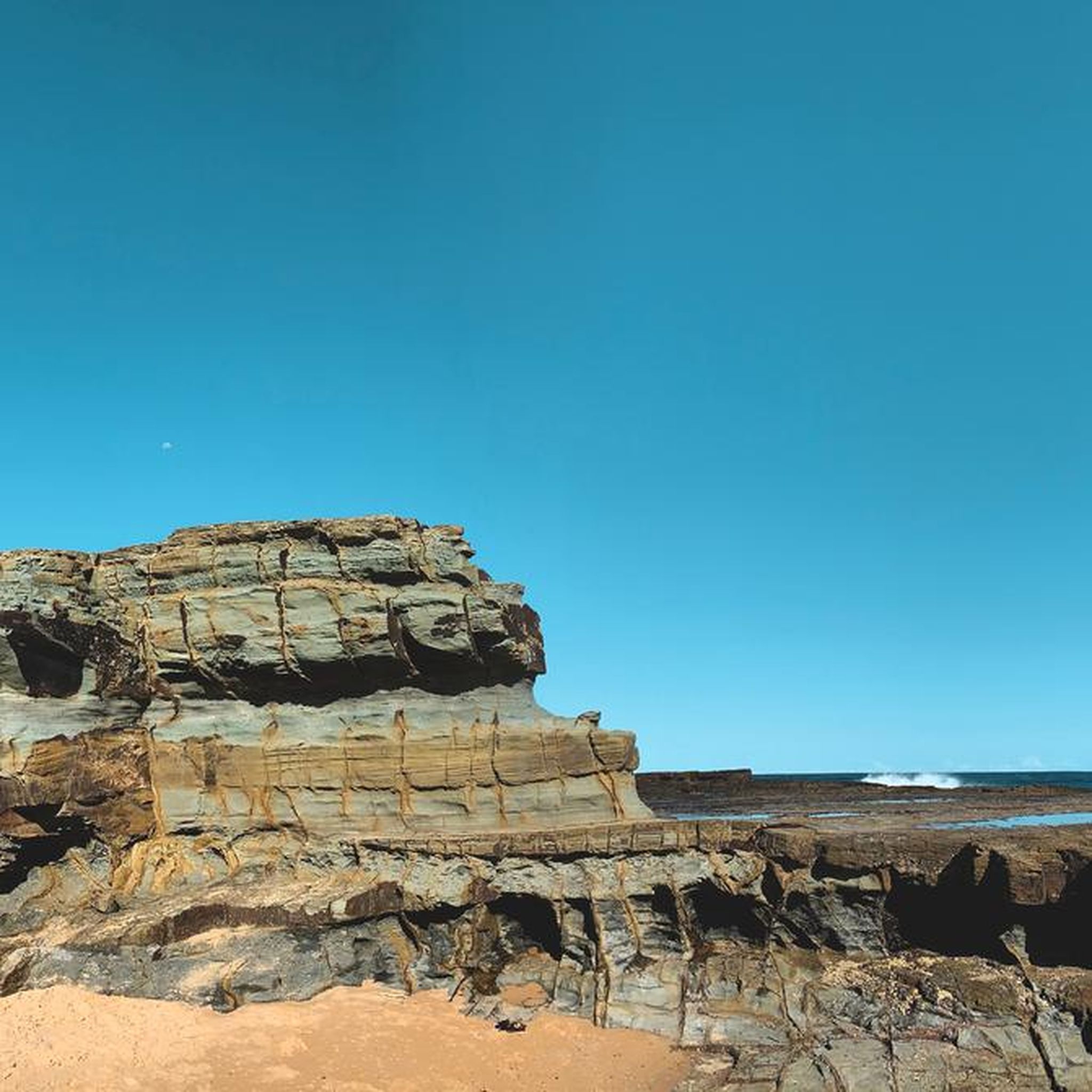
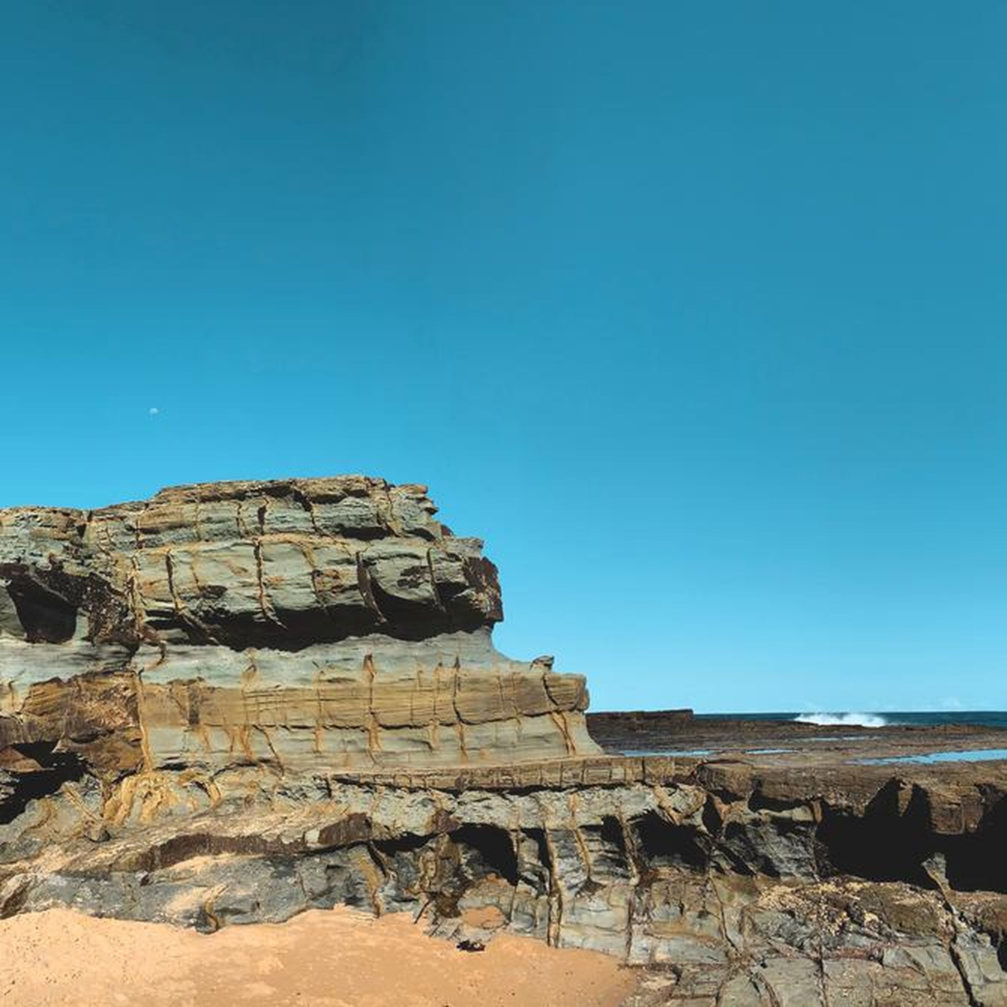
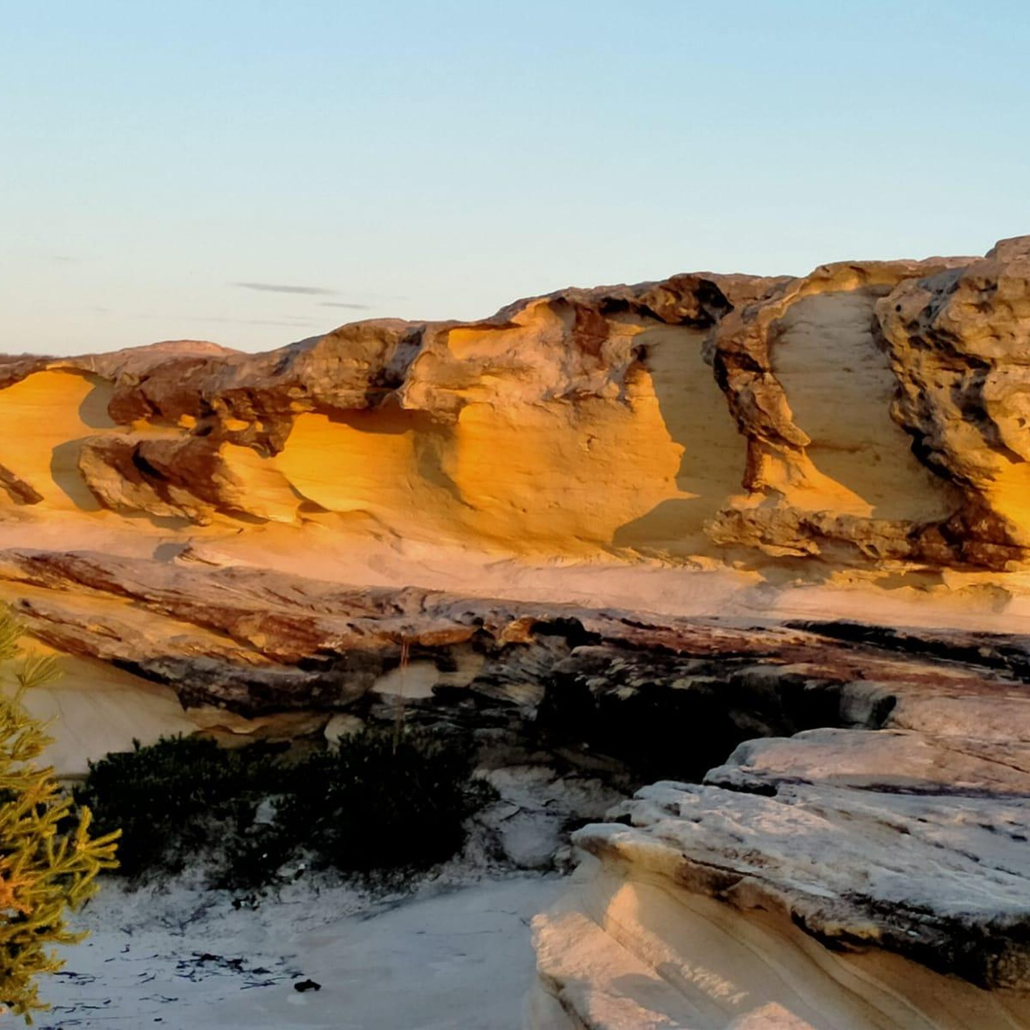
Tips from the Community

Royal National Park is Australia's oldest and one of its most visited national parks. Its location, just south of Sydney puts it within easy range for the six million visitors it gets each year. You'll find everything from beaches and headlands to waterfalls and towering eucalyptus forest within its boundaries.
0
0
This shared-use trail loops through Royal National Park on the edge of Heathcote. The trail itself is only 3 kilometres long but it connects to many other trails which you can tailor to your own needs and timeline.
0
0

The Woronora River flows through the Sutherland Shire and eventually feeds into the Georges River system. It is damned by the Woronora Dam, but remains wild in that area and surrounded by bushland, the more you follow it downstream, the more it widens into a more open, tidal river surrounded by mangroves. It's a great river for kayaking, canoeing, and fishing.
0
0

Audley Visitor Centre and the surrounding picnic area sit right along the Hacking River in the central valley of Royal National Park. The historic precinct includes open lawns, picnic areas, and access to walking and cycling routes through the park. Set along the river near the Audley weir, it is a popular starting point for exploring the park’s bushland and waterways.
0
0
The Karloo Trackhead begins with some interesting signage and art, and then heads into the bush. This track is very popular and easily accessible, with a few bus stops and the Heathcote Train Station just a few steps away.
0
0

Pipeline Trail is a wide maintance road in Heathcote National Park, beginning near the end of Oliver Street and descending steadily into the Woronora valley. The surface is firm and consistent, making it popular for trail running and mountain biking as well as walking. In spring, sections of bushland are dotted with wildflowers. The track follows the Woronora River and passes Lake Eckersley, a calm bend with a sandy edge. Expect sustained climbs on the return, and stay alert for signage near restricted catchment areas.
0
0
Heathcote National Park lies on Sydney’s southern edge and protects rugged sandstone plateaus, forested gorges and coastal-influenced bushland. The park features an extensive network of formed tracks and fire trails, including the popular Pipeline Trail that follows an old water main corridor. The landscape shifts between open eucalypt forest, shaded gullies and cliff-top viewpoints over the Woronora River valley. There is no general entry fee, but facilities are limited, so carry water on longer walks and stay on signed paths.
0
0
This lookout along the Pipeline Trail offers sweeping views across the Woronora Special Area and its winding waterways below. From the sandstone edge, you can see forested ridgelines stretching into the distance, with the river cutting through the valley floor. The setting feels quiet and remote despite being close to Sydney. There are no barriers at the cliff edge, and the rock surface can be uneven, so approach carefully and keep a safe distance from drop-offs.
0
0
Frequently Asked Questions
How many mountain bike trails are available in Garawarra State Conservation Area?
Komoot currently lists 3 mountain bike tours within Garawarra State Conservation Area. However, the area is part of a larger network, with approximately 58 kilometers of dedicated trails and an additional 150 kilometers of management trails and public roads available for mountain biking, connecting with Royal and Heathcote National Parks.
What kind of terrain can I expect on mountain bike trails in Garawarra State Conservation Area?
The trails in Garawarra State Conservation Area offer diverse terrain, weaving through scribbly gum and red bloodwood eucalypt forests, patches of subtropical rainforest, and open heath. You'll find routes that descend into Hacking River gullies and ascend to scenic lookouts, providing varied riding experiences.
Are there mountain bike trails suitable for beginners in Garawarra State Conservation Area?
Yes, there are options for various skill levels. For an easy ride, consider the Hacking River loop from The Forest Path, which is 20.6 km long and navigates through varied forest ecosystems.
Are there any challenging mountain bike trails for experienced riders?
For more experienced riders seeking a challenge, the area offers routes with greater elevation changes and longer distances. An example is the Adina Pool – Friar Bird Pool loop from Engadine, which is classified as difficult and covers 32 km with significant ascents.
What natural features or landmarks can I see while mountain biking?
Garawarra State Conservation Area is rich in natural beauty. You can expect to see diverse ecosystems including eucalypt forests and rainforest patches. Scenic waterfalls are a significant attraction, with Kellys Falls picnic area offering breathtaking views of cascading water. The area also becomes vibrant with blooming banksias, Christmas bells, and wattles in late winter and early spring.
Are there any loop trails for mountain biking in the area?
Yes, several mountain bike trails in Garawarra State Conservation Area are designed as loops. Popular options include the Hacking River loop from The Forest Path, the Tunnel Portal loop from Helensburgh, and the Engadine Waterhole – Engadine Avenue Wetland loop from Heathcote.
Is Garawarra State Conservation Area suitable for family mountain biking?
The area aims to provide a variety of riding experiences, including beginner-friendly tracks near trailheads. While specific family-friendly routes are not detailed, the proposed network includes options for different ability levels, suggesting that some trails could be suitable for families, especially those with some riding experience.
Can I bring my dog on the mountain bike trails?
Garawarra State Conservation Area is part of the NSW National Parks system. Generally, dogs are not permitted in NSW national parks and reserves, including Garawarra State Conservation Area, to protect wildlife. It's always best to check the official park regulations before planning your visit. More information can be found on the NSW National Parks website.
What is the best time of year to go mountain biking in Garawarra State Conservation Area?
The area is beautiful year-round. In late winter and early spring, the park becomes particularly vibrant with blooming banksias, Christmas bells, and wattles. Always check local weather conditions before heading out, as heavy rain can affect trail conditions.
Where can I park when visiting Garawarra State Conservation Area for mountain biking?
Parking is typically available at various access points and trailheads within or bordering the conservation area. For example, the Hacking River loop starts from The Forest Path, and other routes originate from Helensburgh or Heathcote, which usually have designated parking areas for park visitors.
Do I need a permit to mountain bike in Garawarra State Conservation Area?
For general mountain biking on existing management trails and public roads within Garawarra State Conservation Area, a specific permit is typically not required. However, for any proposed dedicated mountain biking track networks, it's always advisable to check the latest regulations and access requirements on the NSW National Parks website.
What wildlife might I encounter on the trails?
Garawarra State Conservation Area is an excellent spot for birdwatching, with potential sightings of satin bowerbirds, honeyeaters, and lyrebirds. You might also spot lace monitors. Remember to observe wildlife from a distance and avoid disturbing their natural habitat.
How long do mountain bike trails typically take to complete?
Trail durations vary significantly based on distance, difficulty, and your riding pace. For instance, the easy Hacking River loop (20.6 km) typically takes around 1 hour 44 minutes, while a moderate route like the Engadine Waterhole – Engadine Avenue Wetland loop (22.1 km) might take about 1 hour 52 minutes.
What do other mountain bikers say about the trails in Garawarra State Conservation Area?
The routes in Garawarra State Conservation Area are highly rated by the komoot community, with an average score of 3.0 stars. Over 100 mountain bikers have used komoot to explore the varied terrain, often praising the diverse forest ecosystems and the peaceful, serene natural park atmosphere.
Most popular routes in Garawarra State Conservation Area

Get inspired with the komoot mobile app


Explore more
Browse the best MTB trails in other regions.
