The best walks and hikes in Garawarra State Conservation Area
4.6
(181)
1,864
hikers
37
hikes
Hiking trails in Garawarra State Conservation Area traverse a diverse landscape along the southern coastline of New South Wales, bordering the Royal National Park. The region is characterized by ancient rainforests, coastal heathlands, and eucalypt forests, set upon rugged sandstone plateaus and deep gorges. Intricate creek systems feed into both the Pacific Ocean and inland waters, shaping the varied terrain.
Best hiking trails in Garawarra State Conservation Area
- The most popular hiking route is Hiking loop from Helensburgh, a 4.5 miles (7.3 km) trail that takes 2 hours 4 minutes to complete. This moderate loop offers varied terrain starting from Helensburgh.
- Another top favourite among local hikers is Burning Palms Beach – Figure Eight Pools loop from Helensburgh, a difficult 11.5 miles (18.5 km) path. This route features coastal views and leads to the notable Figure Eight Pools.
- Local hikers also love the Figure Eight Pools via Burgh Ridge Track, a 3.9 miles (6.3 km) trail leading through varied bushland, often completed in about 2 hours 7 minutes.
- Hiking in Garawarra State Conservation Area is defined by ancient rainforests, coastal heathlands, and sandstone plateaus. The network offers options for different ability levels, from moderate walks to more challenging routes.
- The routes in Garawarra State Conservation Area are highly rated by the komoot community with an average score of 4.6 stars from over 150 reviews. More than 1700 hikers have used komoot to explore Garawarra State Conservation Area's varied terrain.
Last updated: July 4, 2026
4.0
(1)
4
hikers
7.28km
02:04
160m
160m
Moderate hike. Good fitness required. Easily-accessible paths. Suitable for all skill levels.
1
hikers
18.7km
06:13
620m
620m
Hard hike. Very good fitness required. Mostly accessible paths. Sure-footedness required.

Sign up for free
4.7
(24)
321
hikers
6.31km
02:07
240m
240m
Moderate hike. Good fitness required. Mostly accessible paths. Sure-footedness required.
4.8
(8)
98
hikers
10.4km
03:25
310m
310m
Hard hike. Good fitness required. Sure-footedness, sturdy shoes and alpine experience required.
5.0
(1)
12
hikers
5.21km
01:28
110m
110m
Hard hike. Great for any fitness level. Sure-footedness, sturdy shoes and alpine experience required.
Get access to more routes and recommendations from other explorers.
Sign up for free
Already have an account?
Our route recommendations are based on thousands of hikes, rides, and runs completed by other people on komoot.
Start today with a free account
Your next adventure awaits.
Login or Signup
Tips from the Community

Here, a small waterfall spills into a beautiful rock pool surrounded by creekside vegetation. This is one of the first waterfalls you can reach along the Kangaroo Creek Track, and a really nice destination for a day walk.
0
0
This track climbs north, running parallel to Kangaroo Creek. The route follows rough singletrack with shallow creek crossings and thick scrub. There is also access to a couple of pools and waterfalls that are connected to Kangaroo Creek along the route.
0
0

Palm Jungle Loop Track is a relatively challenging circuit in the southern section of Royal National Park that passes through beautiful eucalypt forest, coastal rainforest, palm-filled gullies, cliff tops, and sections of the Coast Track. The walk includes steep descents, many steps, and some rough terrain, with plenty of scenery, including views of Burning Palms Beach and panoramic ocean views from the Werrong Lookout. With limited signage and some demanding sections, it's best to use your komoot offline GPS route or a paper map to stay on course.
0
0
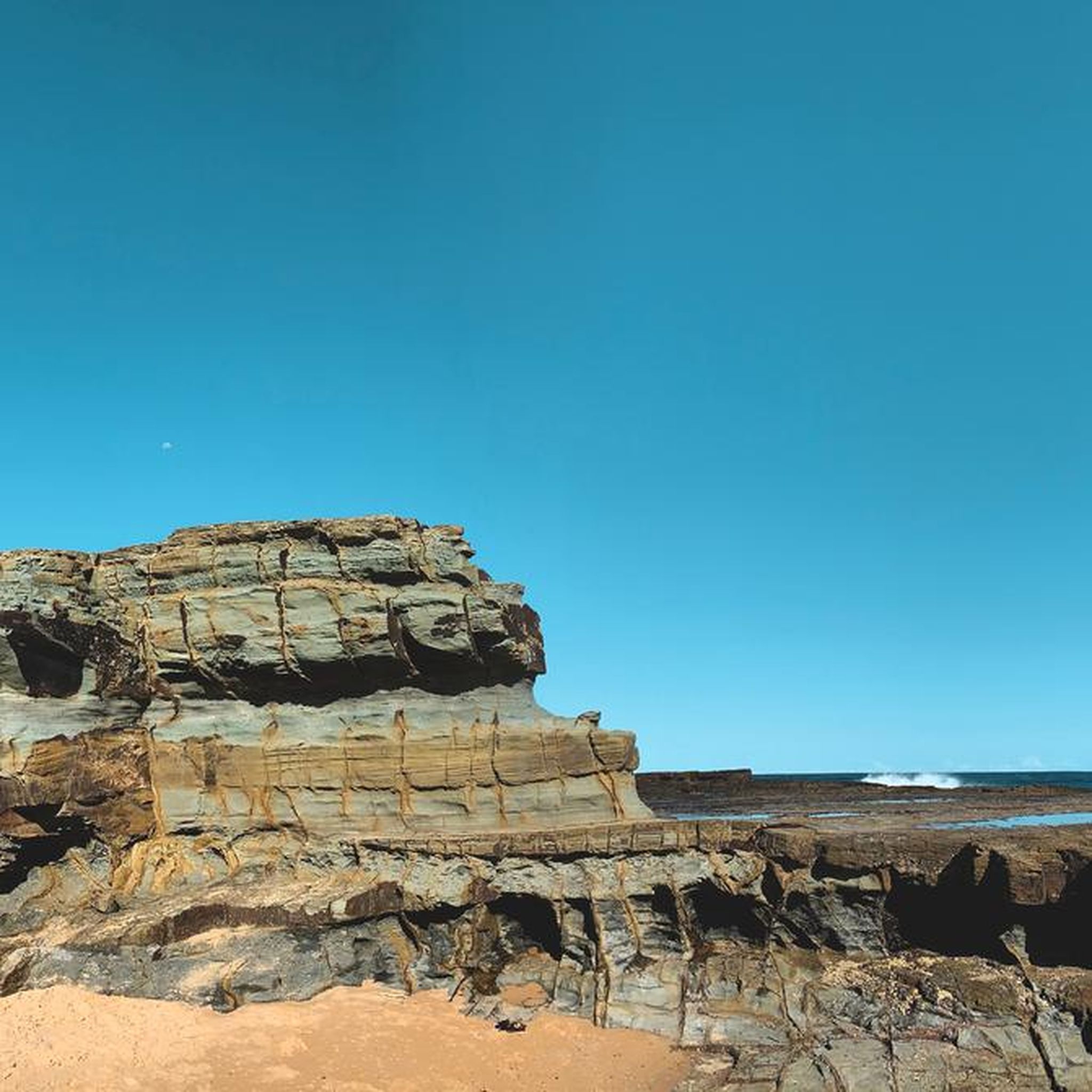
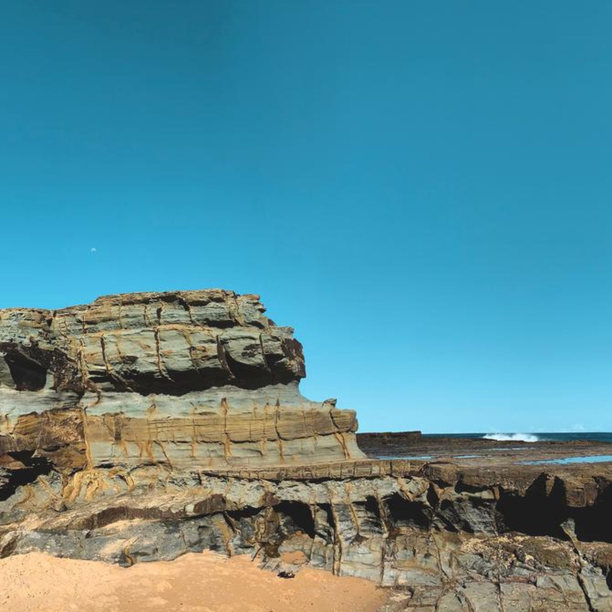
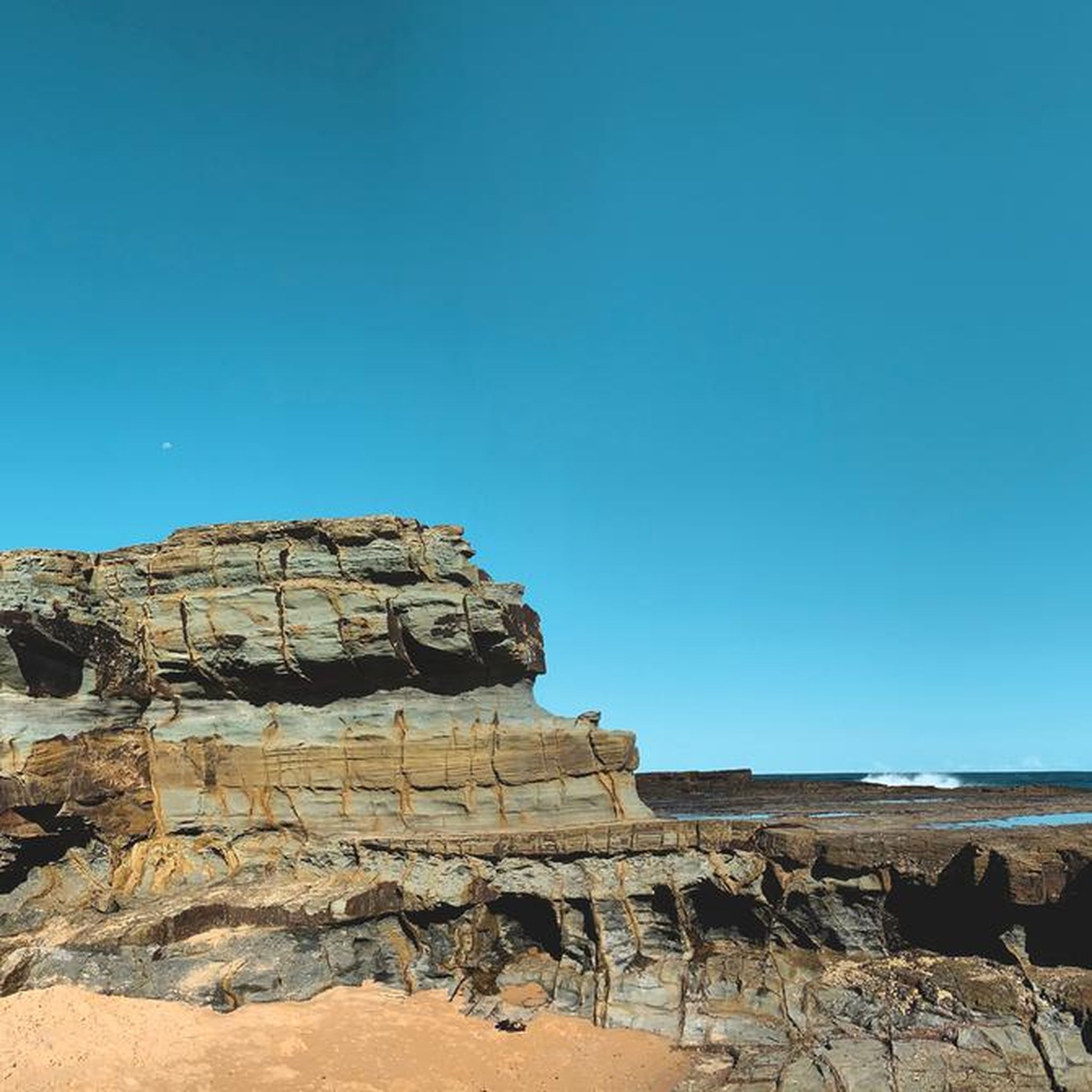
This rocky clifftop viewpoint offers sweeping views over the rugged coastline and the Pacific Ocean, with dramatic sandstone cliffs and bushland stretching along the shore. Set high above the coast, it's a quiet place to pause and take in the scenery before continuing the loop.
0
0
Garawarra Farm carpark sits just off Garie Road in Royal National Park, and is the main trailhead for several walks in this area, including the popular Figure Eight Pools. There are toilets and benches, but no picnic facilities. It’s important to note that Garie Road is a dirt road not suitable for lowered 2WD vehicles or any 2WD vehicles in wet weather, mobile reception is unreliable, and the area is not suitable for small children or strollers, so be sure to plan accordingly before you arrive. The entry fee is $12 per vehicle per day, payable at ticket machines in the carpark, via the Audley Visitor Centre, vehicle entry stations, or the Park’nPay app: https://parknpay.nsw.gov.au/.
0
0

Uloola Falls Trailhead has a massive car park and a set of stairs leading down to the Uloola Falls Trail, marked with a sign and map.
1
0

This 500 meter long beach is only reachable on foot and therefore is rarely overcrowded. In addition to the gorgeous sand and water you'll also find around 20 heritage listed beach cabins and a surf lifesaving club that patrols the beach every Sunday and public holiday from the end of September to the end of April.
0
0
This popular route to the Figure Eight Pools descends to Burning Palms beach and gives you great views along the way. Beware that the pools are only accessible at low tide, so check the tide tables before heading out.
0
0
Frequently Asked Questions
How many hiking trails are available in Garawarra State Conservation Area?
There are over 40 hiking routes available in Garawarra State Conservation Area, catering to various skill levels. You'll find a good mix, with 8 easy trails, 25 moderate options, and 10 more challenging routes for experienced hikers.
What kind of landscapes can I expect to see while hiking in Garawarra State Conservation Area?
Garawarra State Conservation Area offers a diverse range of landscapes. You can hike through ancient rainforests, coastal heathlands, and various eucalypt forests featuring impressive trees like Sydney Red Gum and Blackbutt. The terrain also includes rugged sandstone plateaus, deep gorges, and intricate creek systems.
Are there any waterfalls or scenic viewpoints in the area?
Yes, the area is known for its natural beauty. Kellys Falls picnic area is a highlight, offering breathtaking views of its cascading waterfalls and a network of walking trails. For expansive ocean and Illawarra coastline vistas, Bald Hill Lookout is a popular spot, and scenic coastal views can also be enjoyed from Mount Murray.
When is the best time of year to visit Garawarra State Conservation Area for hiking?
The area is beautiful year-round, but late winter and early spring are particularly vibrant. During this time, the coastal heathlands burst into color with blooming banksias, Christmas bells, and wattles, offering a spectacular display of native flora.
Are there any family-friendly hiking options in Garawarra State Conservation Area?
While specific family-friendly routes aren't detailed, the conservation area offers 8 easy trails that are generally suitable for families. These shorter, less strenuous paths allow younger hikers to enjoy the diverse ecosystems without excessive challenge. Always check the route details for elevation and distance to ensure it matches your family's capabilities.
What are some notable natural features or landmarks to look out for?
Beyond the diverse forests and coastal views, hikers can explore rugged sandstone plateaus and deep gorges. The area also holds cultural significance for the Dharawal people. The Garawarra Farm Historic Site provides insight into early European settlement and conservation efforts, with interpretive signage detailing its heritage.
What do other hikers enjoy most about Garawarra State Conservation Area?
The area is highly rated by the komoot community, with an average score of 4.6 stars from over 150 reviews. Hikers often praise the diverse terrain, from lush rainforests to coastal views, and the opportunity to explore unique natural features like the Figure Eight Pools. Many appreciate the tranquil escape it offers despite its proximity to Sydney.
Are there any circular hiking routes available?
Yes, there are several circular routes. A popular moderate option is the Hiking loop from Helensburgh, which is about 7.3 km long. For a more challenging experience, consider the difficult Burning Palms Beach – Figure Eight Pools loop from Helensburgh, spanning 18.5 km.
Can I see wildlife while hiking in Garawarra State Conservation Area?
Absolutely. The varied ecology of Garawarra State Conservation Area supports a wealth of native animals, making it an excellent spot for wildlife encounters and birdwatching. Keep an eye out for species such as the powerful owl, long-nosed potoroo, lyrebird, wattlebirds, and echidnas.
How can I access Garawarra State Conservation Area by public transport or car?
Garawarra State Conservation Area is located along the southern coastline of New South Wales, bordering the Royal National Park. While specific public transport routes aren't detailed, it's generally accessible by car, with parking available at various trailheads. For detailed information on access and any potential permits, it's advisable to check the official NSW National Parks website: nationalparks.nsw.gov.au.
Are there any challenging hikes for experienced trekkers?
Yes, for experienced trekkers, there are 10 difficult routes. A notable challenging option is the Otford Lookout – Burning Palms Beach loop from Otford, which covers approximately 12 km and offers significant elevation changes.
What is the Figure Eight Pools and how can I reach it?
The Figure Eight Pools are a unique natural rock formation. You can reach them via routes like the moderate Figure Eight Pools via Burgh Ridge Track, a 6.3 km trail. Another option is the Burning Palms Beach – Figure Eight Pools loop from Burning Palms, also a moderate 6.3 km route.
Most popular routes in Garawarra State Conservation Area

Get inspired with the komoot mobile app


Explore more
Browse the best Hikes in other regions.
