The best running trails in Amaguaña
68
runners
7
runs
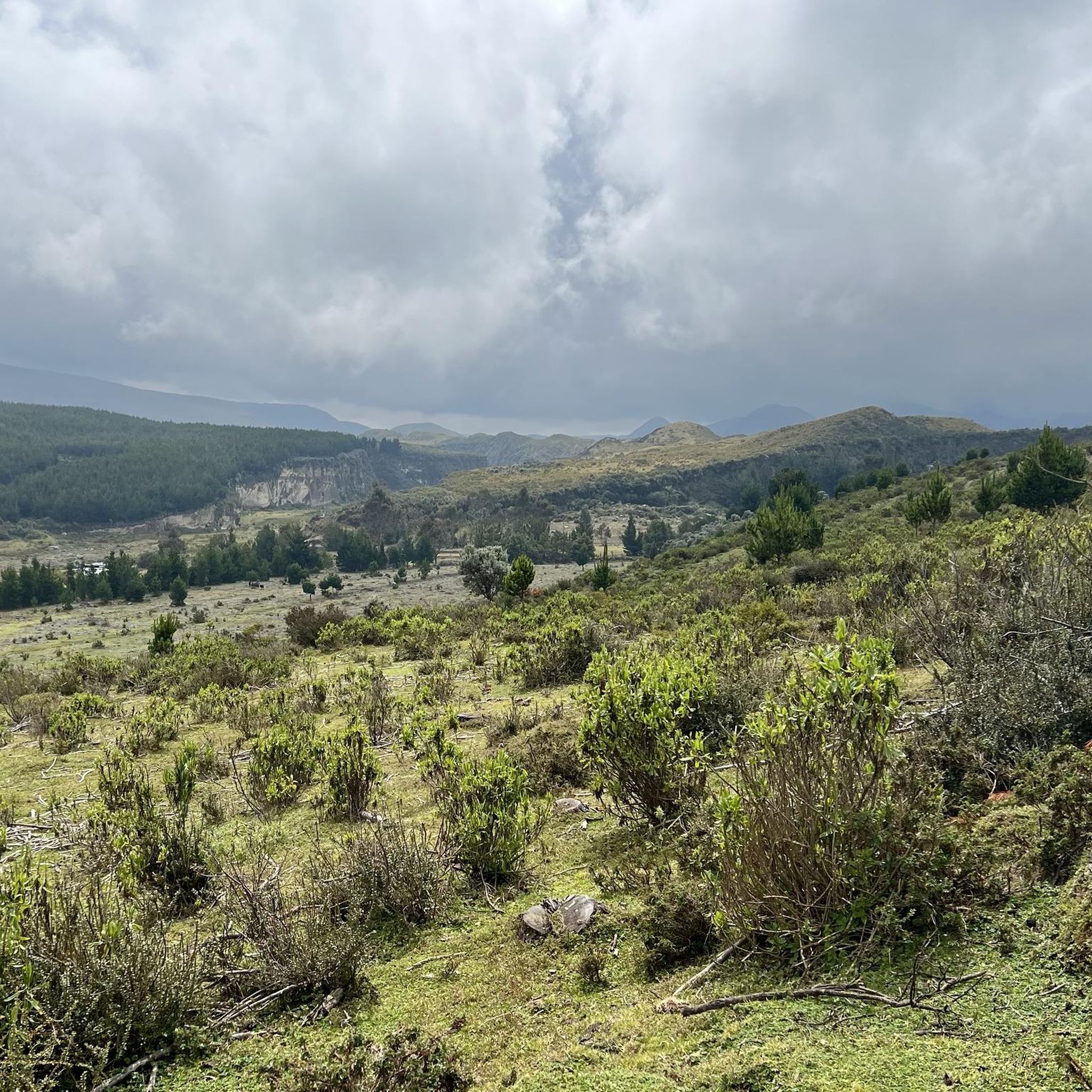
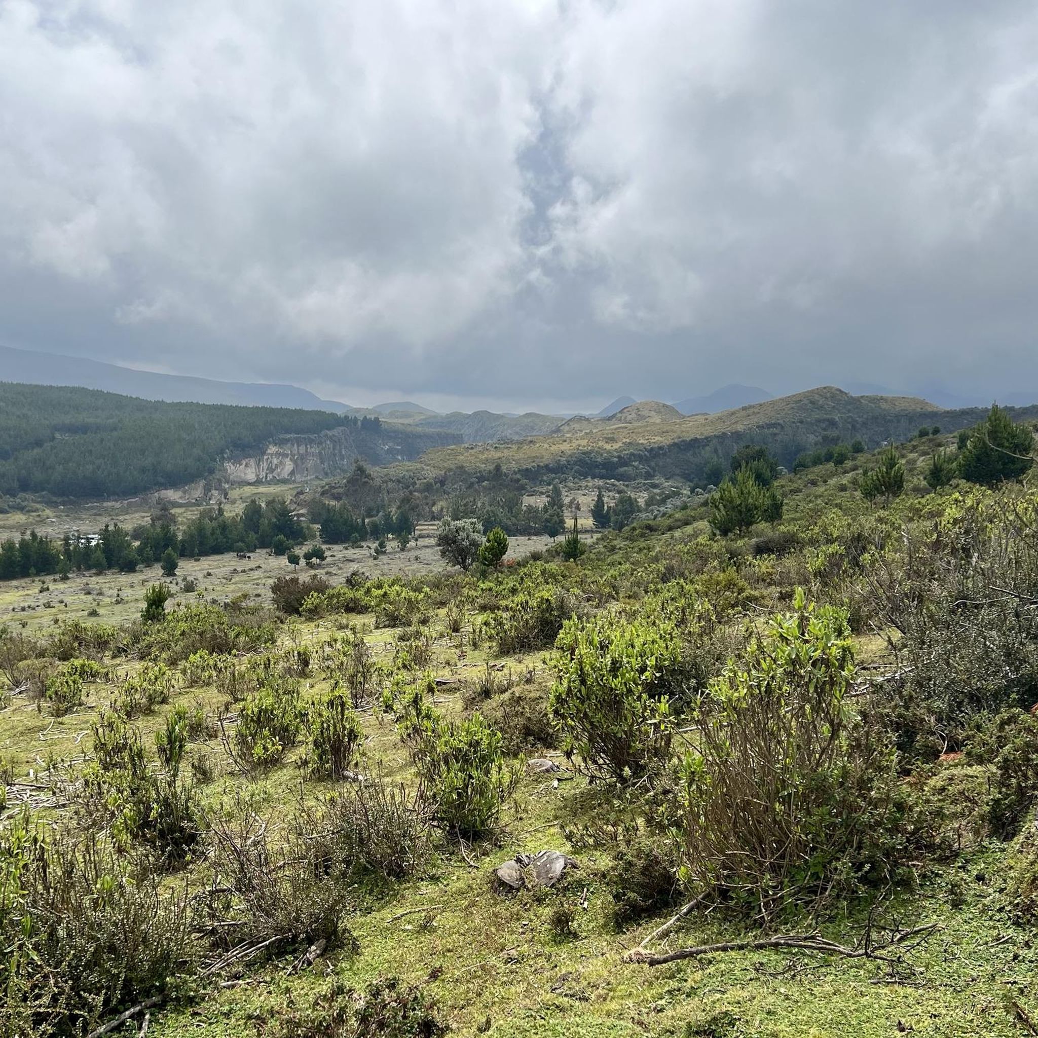
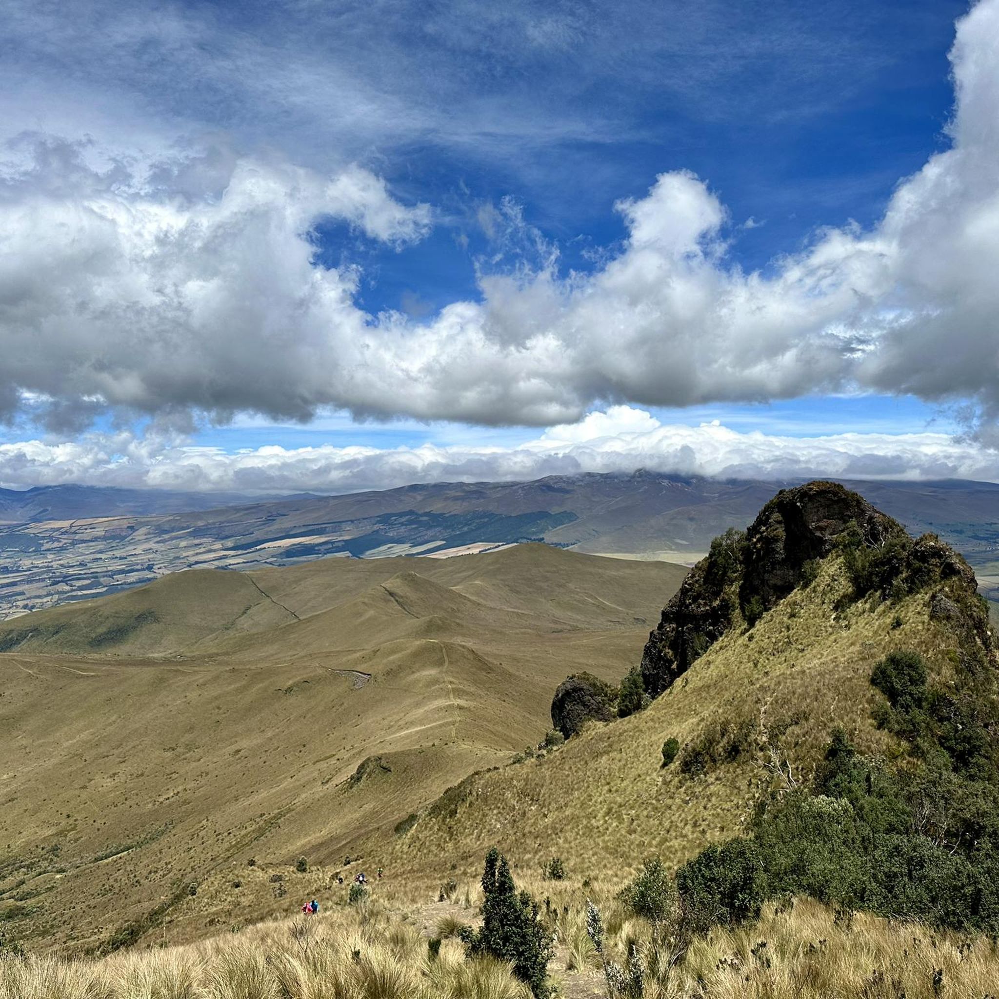
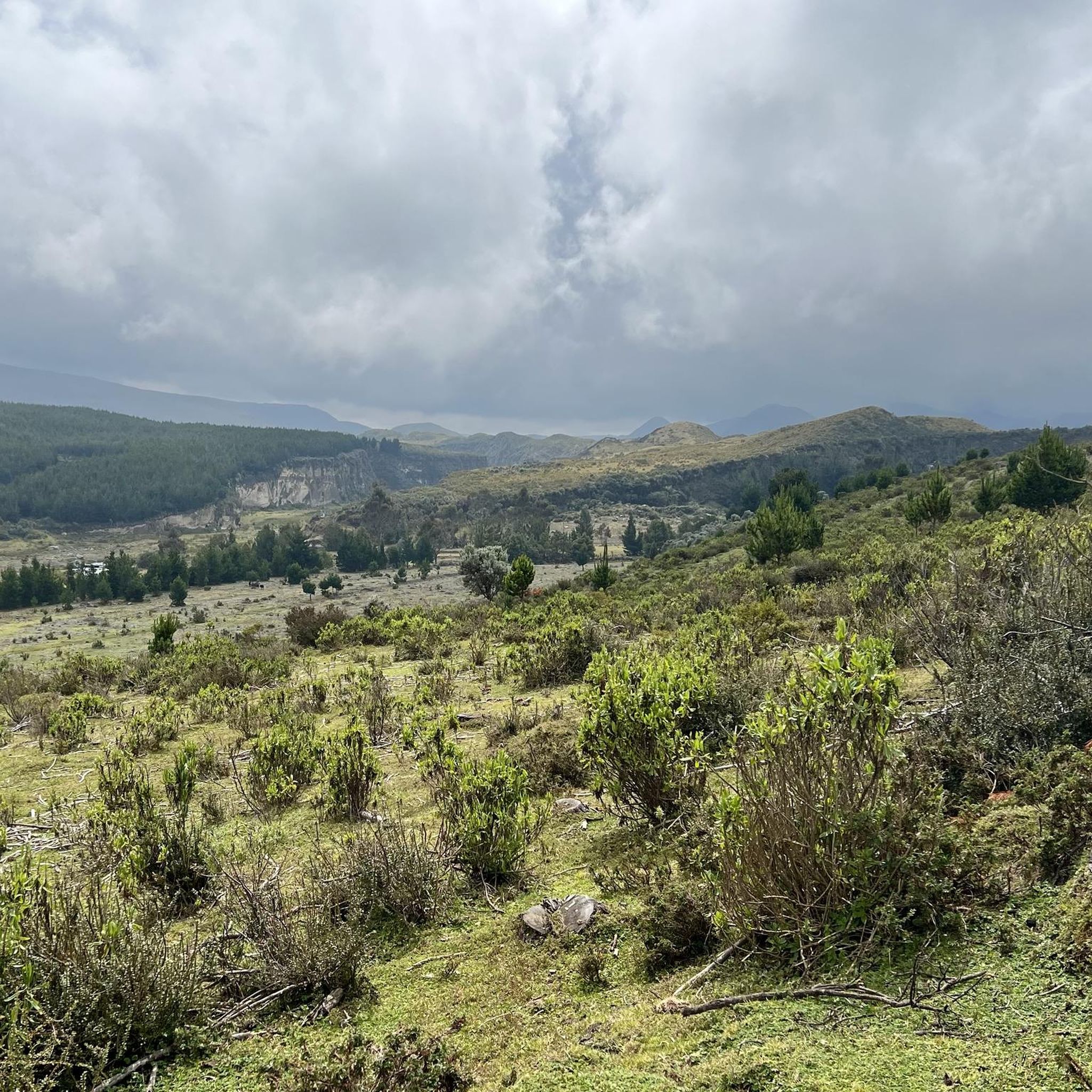
Jogging in Amaguaña offers diverse routes at the foot of the dormant Pasochoa volcano and alongside the San Pedro River. The region features varied terrain, from riverine paths to the foothills of the Andes, providing a range of running experiences. This area is characterized by its Andean forest, volcanic landscapes, and dedicated green spaces, making it suitable for outdoor activities. Runners can explore paths that wind through natural springs and remnants of Andean rocks.
Best jogging routes in Amaguaña
- The most popular jogging route is Running loop from Sangolqui, a 5.1 miles (8.2 km) trail that takes 51 minutes to complete, winding through the local landscape.
- Another top favourite among local runners is Santa Clara loop from Alangasi, a moderate 6.8 miles (10.9 km) path, offering views of the surrounding Andean environment.
- Local runners also love the Running loop from Alangasi, a 5.8 miles (9.3 km) trail leading through the local countryside, often completed in about 58 minutes.
- Jogging in Amaguaña is defined by Andean forest, volcanic foothills, and riverine paths. The network offers options for different ability levels, from moderate to more challenging ascents.
- The guide includes highly-rated routes that showcase the best of the region's landscape. More than 50 runners have used komoot to explore Amaguaña's varied terrain.
Last updated: July 11, 2026
19
runners
8.21km
00:51
60m
60m
Moderate run. Good fitness required. Mostly paved surfaces. Suitable for all skill levels.
17
runners
10.6km
01:06
80m
80m
Moderate run. Good fitness required. Mostly paved surfaces. Suitable for all skill levels.

Sign up for free
8
runners
9.32km
00:58
70m
70m
Moderate run. Good fitness required. Mostly paved surfaces. Suitable for all skill levels.
5
runners
11.8km
01:33
420m
420m
Hard run. Very good fitness required. Mostly paved surfaces. Suitable for all skill levels.
6
runners
20.1km
02:45
830m
830m
Hard run. Very good fitness required. Mostly paved surfaces. Suitable for all skill levels.
Get access to more routes and recommendations from other explorers.
Sign up for free
Already have an account?
Our route recommendations are based on thousands of hikes, rides, and runs completed by other people on komoot.
Start today with a free account
Your next adventure awaits.
Login or Signup
Popular around Amaguaña
Tips from the Community


beautiful place to train 45 uphill 25 downhill...
1
0

excellent route to do in the morning and at night
0
0
bring water and something to eat
0
0
Frequently Asked Questions
How many running routes are available in Amaguaña?
Amaguaña offers a selection of 7 dedicated jogging routes. These routes vary in difficulty, providing options for different fitness levels.
What kind of terrain can I expect on jogging routes in Amaguaña?
Jogging in Amaguaña features diverse terrain, from riverine paths alongside the San Pedro River to the foothills of the Andes. You'll encounter varied landscapes including Andean forest, volcanic terrain, and dedicated green spaces. Some routes offer flat sections, while others include more challenging ascents.
Are there running routes suitable for beginners in Amaguaña?
While there are no routes explicitly classified as 'easy' in our guide, Amaguaña does offer 3 moderate routes that could be suitable for beginners looking for a bit of a challenge or those with some running experience. For example, the Running loop from Sangolqui is a moderate 5.1-mile (8.2 km) trail.
What are the typical distances for jogging routes in Amaguaña?
The jogging routes in Amaguaña vary in length, generally ranging from around 5 miles (8 km) to over 12 miles (20 km). For instance, the Running loop from Sangolqui is 5.1 miles (8.2 km), while the El Mirador loop from San Pedro del Tingo is a longer 12.5-mile (20.1 km) option.
Can I see wildlife while jogging in Amaguaña?
Yes, especially within the Pasochoa Wildlife Refuge. This area is known for its dense Andean forest, which is an 'oasis' of biodiversity. Joggers can enjoy birdwatching, including hummingbirds, and observe diverse flora and fauna along trails like 'Friend Nature' and 'Forest for All'.
Are there any scenic viewpoints or natural landmarks along the running trails?
Absolutely. The region's location at the foot of the dormant Pasochoa volcano and by the San Pedro River provides constant scenic backdrops. From higher points in the Pasochoa Wildlife Refuge, you can enjoy impressive panoramic views of surrounding volcanoes like Cotopaxi, Rumiñahui, and Cayambe on clear days. The Parque Ecológico de Cachaco also features trails traversing remnants of Andean rocks and natural springs.
What makes the Pasochoa Wildlife Refuge a good place for trail running?
The Pasochoa Wildlife Refuge offers a unique and scenic environment for trail running. Its collapsed caldera is covered by a dense Andean forest, providing well-marked paths such as the 'Friend Nature' trail (1 km), 'Forest for All' trail (2 km), and the more challenging 'Mayguayacu' trail (3.5 km). These trails wind through primary Andean forest, offering opportunities for birdwatching and stunning views of other volcanoes.
Are there any tranquil spots for a leisurely jog in Amaguaña?
For a more tranquil experience, the Parque Ecológico de Cachaco, located by the San Pedro River, offers trails through lush vegetation and natural springs, ideal for leisurely jogs. Additionally, the smaller Parque del Barrio Peluche within Amaguaña is suitable for light jogging or warm-up routines.
Are there dog-friendly running trails in Amaguaña?
While specific regulations for dogs on all trails are not detailed, many outdoor areas in Amaguaña, particularly those in natural settings like the general trails around the San Pedro River and less restricted parts of the Andean foothills, are generally welcoming to dogs on leash. Always check local signage or park rules upon arrival, especially for protected areas like the Pasochoa Wildlife Refuge, which may have specific guidelines for pets.
Are the running routes in Amaguaña typically circular?
Yes, all the routes featured in this guide are circular loops. This means you'll start and end at the same point, making logistics like parking or public transport easier. Examples include the Santa Clara loop from Alangasi and the Running loop from Tanipamba.
What is the best time of year to go jogging in Amaguaña?
Amaguaña's highland location means it generally has a cool climate, which can be more comfortable for physical activity than warmer, lower-altitude areas. While specific 'best times' can vary, the region's natural beauty is accessible year-round. It's always advisable to check local weather forecasts for rain or cloud cover, especially if you're hoping for clear views of the surrounding volcanoes.
Are there any challenging trail running options in Amaguaña?
Yes, Amaguaña offers several challenging routes for experienced trail runners. Our guide includes 4 routes classified as 'difficult'. These routes often feature significant elevation gains, such as the El Mirador loop from San Pedro del Tingo, which has over 800 meters of elevation gain over its 12.5-mile (20.1 km) distance.
What do other runners enjoy most about jogging in Amaguaña?
Runners who have explored Amaguaña with komoot often appreciate the varied terrain, from riverine paths to volcanic foothills, and the opportunity to experience the Andean forest. The region's picturesque landscapes and the sense of being immersed in nature are frequently highlighted as key attractions.
Most popular routes in Amaguaña

Get inspired with the komoot mobile app


Explore more
Browse the best Running Trails & Routes in other regions.
