The best walks and hikes in Amaguaña
4.9
(10)
151
hikers
4
hikes
Hiking in Amaguaña offers diverse natural landscapes in the Ecuadorian Andes, located southeast of Quito. The region is characterized by volcanic foothills, high-altitude paramo, and remnants of Andean forests, providing varied terrain for outdoor activities. Natural springs and the San Pedro River contribute to the area's ecological richness. This environment supports a range of hiking experiences, from moderate trails to more challenging ascents.
Best hiking trails in Amaguaña
- The most popular hiking route is Paperbark Tree Forest – Summit of…
Last updated: July 11, 2026
51
hikers
14.6km
05:03
810m
810m
Hard hike. Very good fitness required. Easily-accessible paths. Suitable for all skill levels.
4.8
(4)
49
hikers
7.95km
02:57
530m
530m
Moderate hike. Good fitness required. Easily-accessible paths. Suitable for all skill levels.

Sign up for free
5.0
(4)
15
hikers
Moderate hike. Good fitness required. Easily-accessible paths. Suitable for all skill levels.
Our route recommendations are based on thousands of hikes, rides, and runs completed by other people on komoot.
Start today with a free account
Your next adventure awaits.
Login or Signup

Frequently Asked Questions
How many hiking trails are available in Amaguaña?
Amaguaña offers a selection of hiking routes, with at least 4 distinct trails documented on komoot. These routes cater to various preferences, from moderate loops to more challenging summit ascents.
What are the typical difficulty levels for hikes in Amaguaña?
The hiking trails in Amaguaña range from moderate to difficult. You'll find 3 moderate routes, such as the Pasochoa Volcano summit loop from Hacienda San Francisco de Pasochoa, and 1 difficult route, like the Paperbark Tree Forest – Summit of Pasochoa Volcano loop from Rumipamba, which leads to the Pasochoa Volcano summit.
Are there any circular hiking routes in Amaguaña?
Yes, Amaguaña features several circular hiking routes. For example, the Pasochoa Trails – Palma de Cera Trail loop from Pasochoa Ecological Reserve - Entrance & Checkpoint is a moderate 4.7-mile (7.5 km) loop that explores the unique Wax Palm Trail within the reserve.
What kind of landscapes and natural features can I expect to see while hiking in Amaguaña?
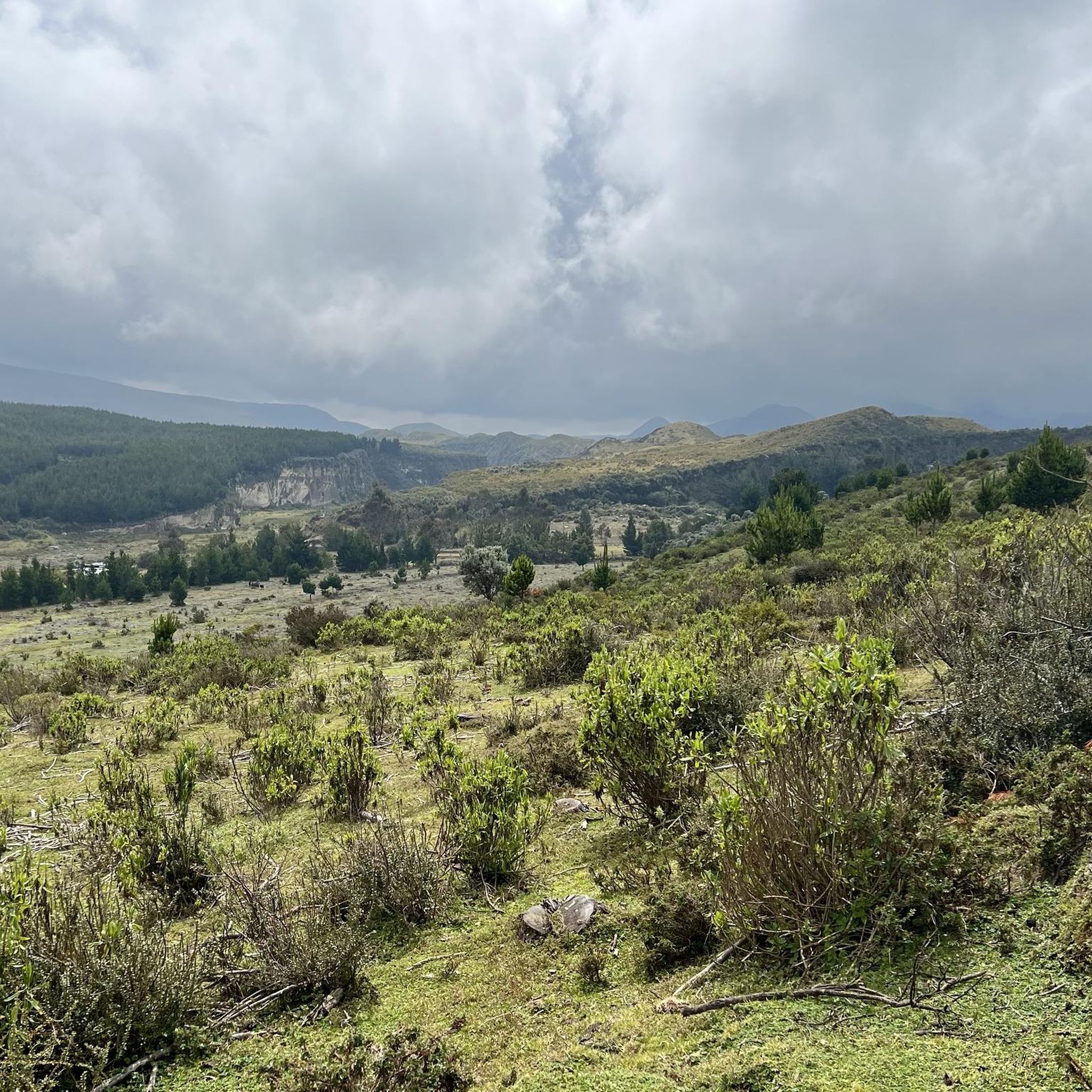
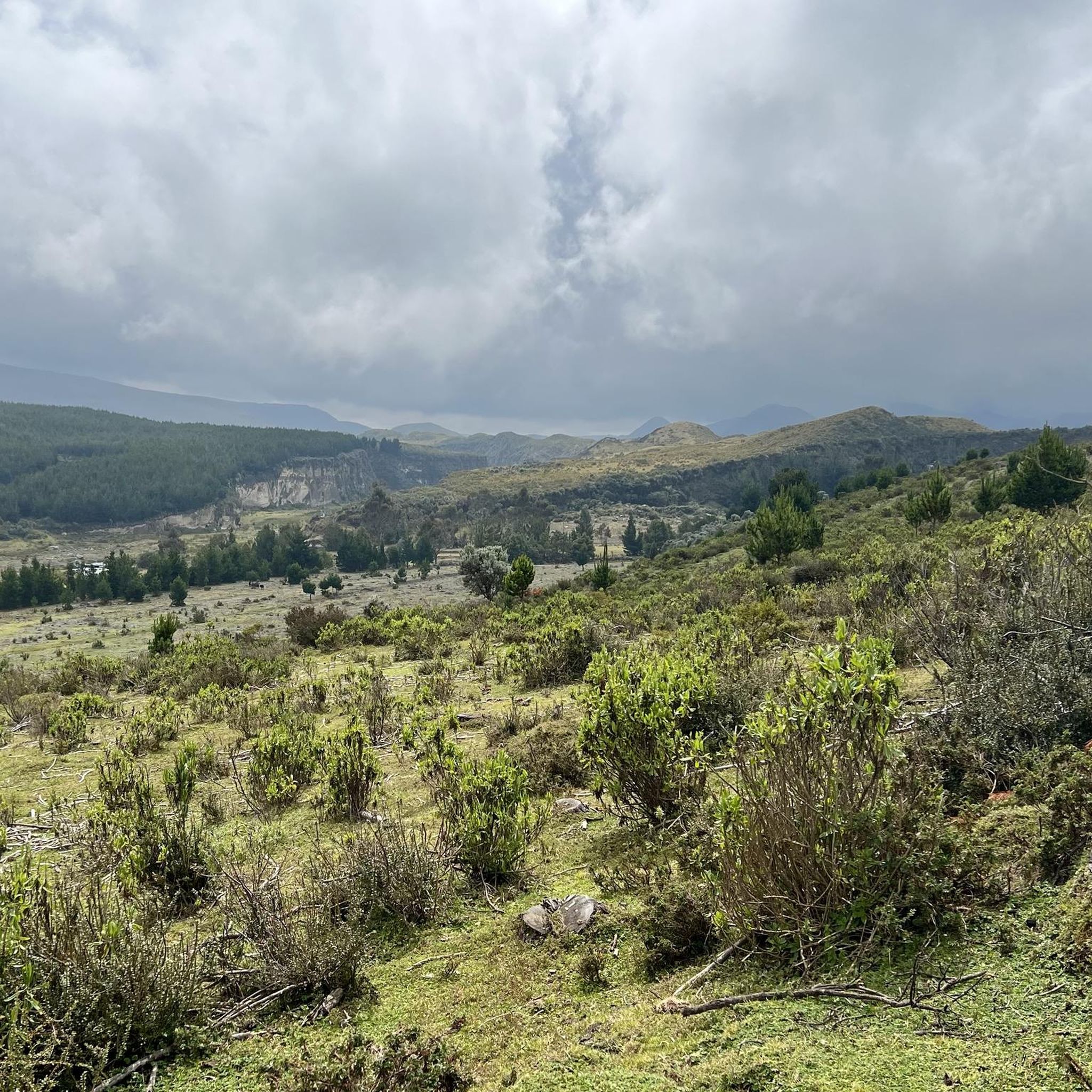
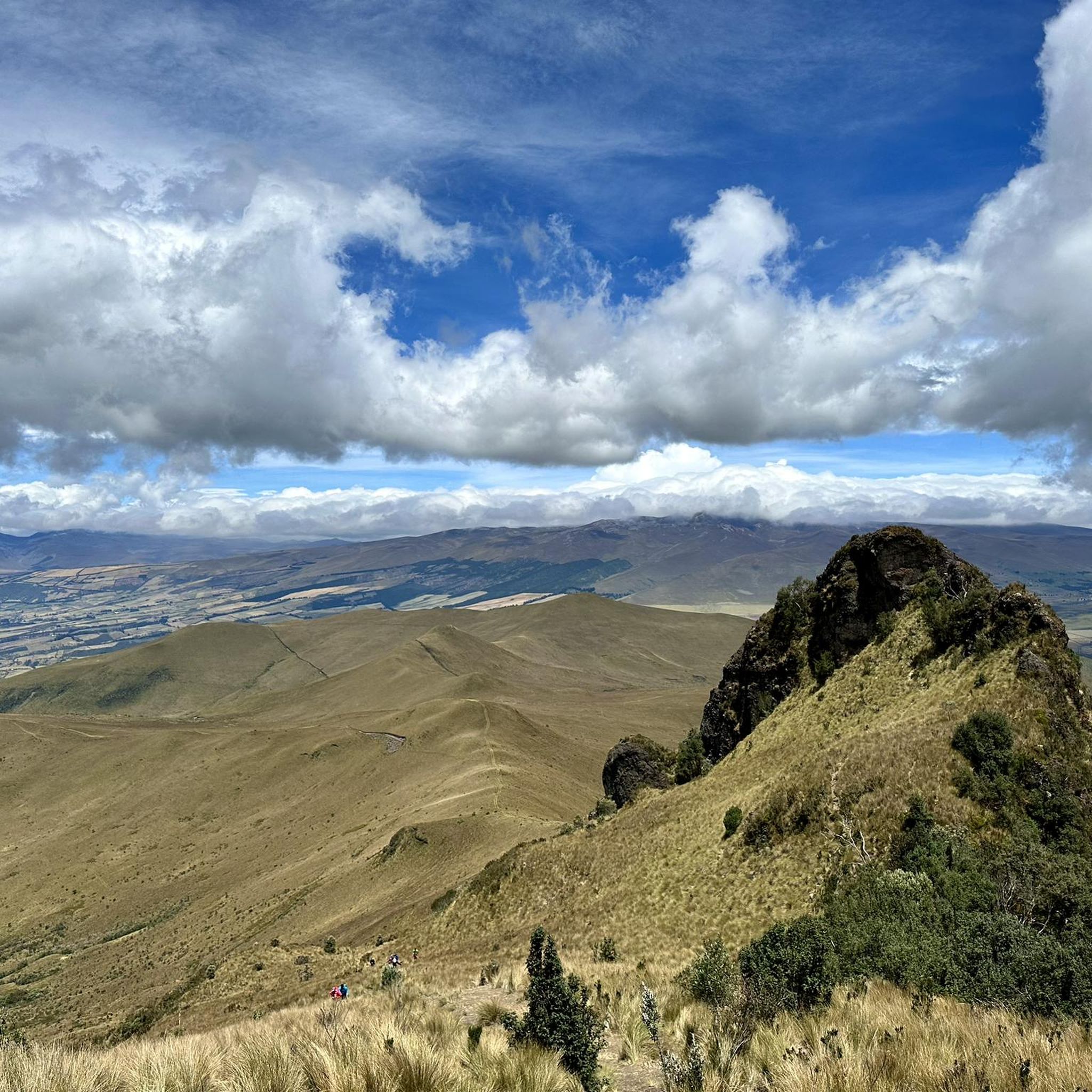
Hiking in Amaguaña offers diverse natural landscapes, including volcanic foothills, high-altitude paramo, and remnants of primary Andean forests. You can expect stunning panoramic views of surrounding mountains like Antisana, Cotopaxi, or Cayambe from higher elevations, especially within the Pasochoa Wildlife Refuge. The region is also rich in natural springs and is nestled beside the San Pedro River.
Is Amaguaña suitable for family-friendly hikes?
While some trails in Amaguaña are more challenging, the Pasochoa Wildlife Refuge offers shorter, self-guided walks like the 900-meter Hummingbird trail, which could be suitable for families looking for a less strenuous experience. The Parque Ecológico de Cachaco also provides dedicated trails and amenities like picnic areas.
What wildlife can I expect to see in Amaguaña?
Amaguaña, particularly the Pasochoa Wildlife Refuge, is a haven for wildlife. It's renowned for birdwatching, with over 128 recorded bird species, including 15 types of hummingbirds. Larger mammals such as pumas, white-tailed deer, Andean foxes, and even spectacled bears can also be found, though sightings of the latter are rare.
Are there any natural springs or water features to explore?
Yes, Amaguaña is known as the 'Land of life' in Kichwa, reflecting its abundance of natural springs. The Parque Ecológico de Cachaco, located next to the San Pedro River, features the "Curipogyo" or "Fuente Dorada" (Golden Spring), a sacred site with waters believed to have medicinal properties. The park also allows exploration of wetlands and other natural springs.
What makes the Pasochoa Wildlife Refuge a popular hiking destination?
The Pasochoa Wildlife Refuge is a significant draw for hikers due to its diverse trails, ranging from easy walks to challenging ascents to the 4,199-meter (13,776 ft) summit of the dormant Pasochoa volcano. It boasts a unique primary Andean forest, shrubby paramo, and grasslands, home to 232 plant species (including 23 orchid varieties) and over 128 bird species, making it excellent for nature observation and birdwatching.
Are there options for camping in Amaguaña?
Yes, for those seeking a more immersive experience, camping facilities are available within the Pasochoa Wildlife Refuge. This allows visitors to extend their stay and fully appreciate the natural environment.
What do other hikers say about the trails in Amaguaña?
The routes in Amaguaña are highly rated by the komoot community, with an average score of 4.9 stars from over 10 reviews. Hikers often praise the varied terrain, the stunning panoramic views from the volcano summit, and the rich biodiversity encountered along the trails.
What is the best time of year to hike in Amaguaña?
While specific seasonal recommendations are not detailed, the Andean region generally experiences a dry season from June to September, which often offers clearer skies and more favorable conditions for hiking, especially for summit attempts. However, the diverse ecosystem means hiking is possible year-round, with varying weather patterns.
Are there any challenging hikes for experienced trekkers in Amaguaña?
Absolutely. Experienced trekkers can tackle the difficult Paperbark Tree Forest – Summit of Pasochoa Volcano loop from Rumipamba, a 9.1-mile (14.6 km) trail that involves a significant ascent to the 4,199-meter (13,776 ft) summit of Pasochoa Volcano, traversing varied forest and high-altitude landscapes.
Most popular routes in Amaguaña

Get inspired with the komoot mobile app


Explore more
Browse the best Hikes in other regions.
