The best road cycling routes in Amaguaña
4.0
(6)
77
riders
7
rides
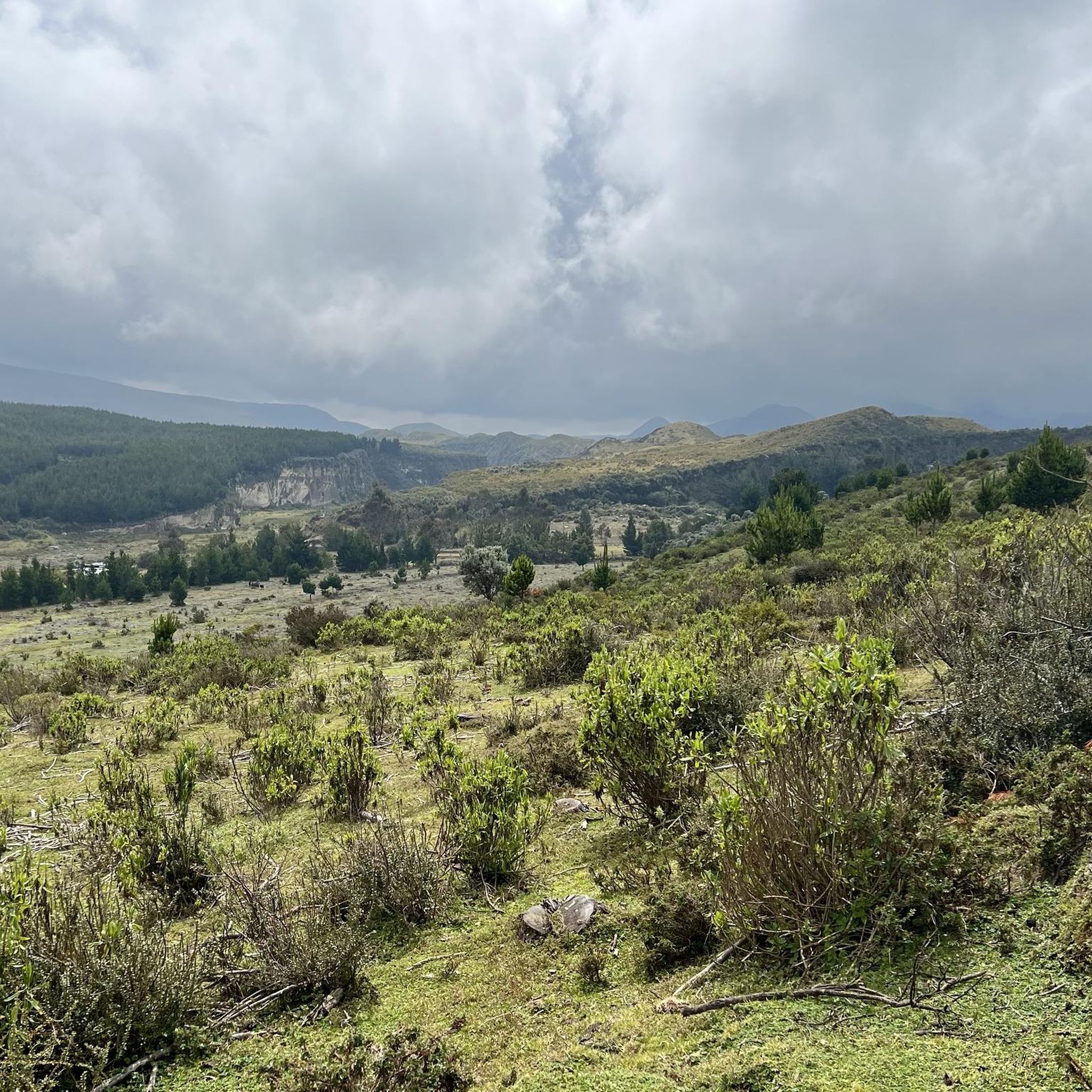
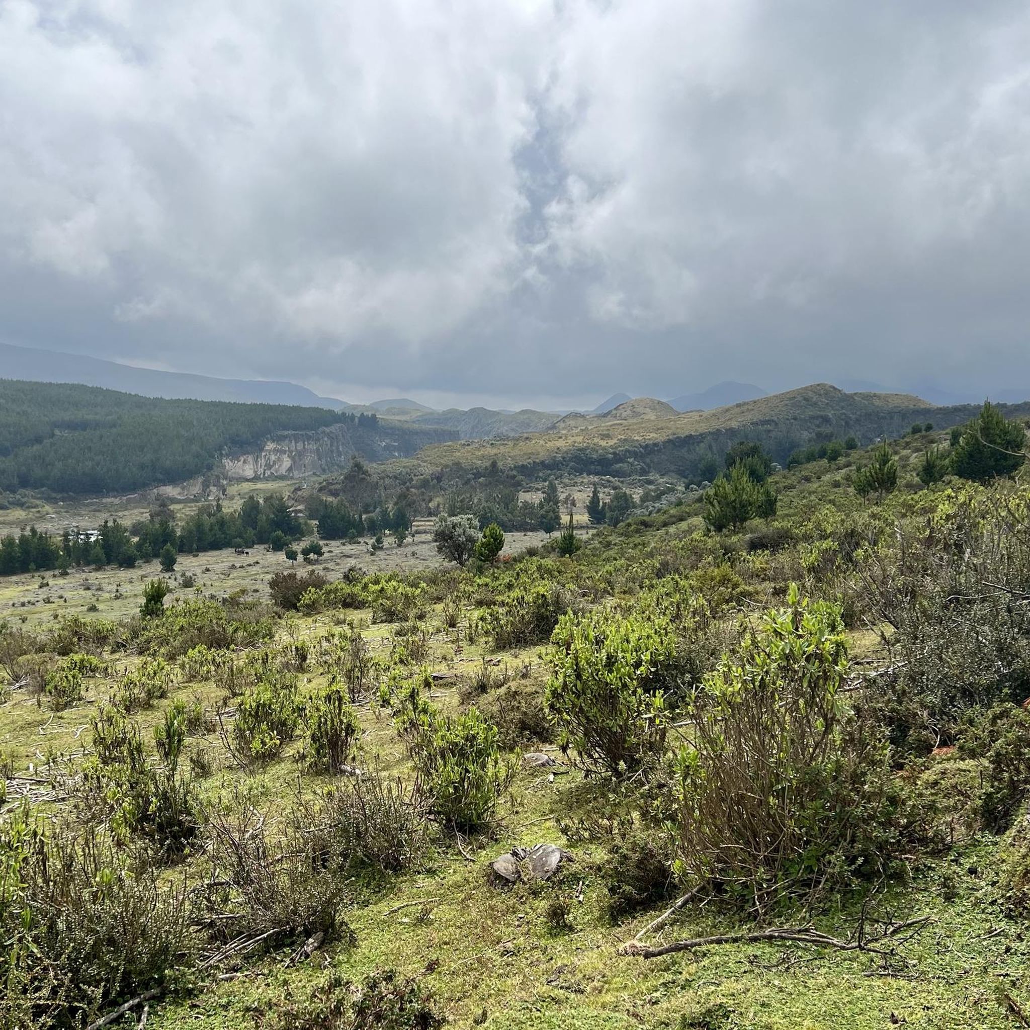
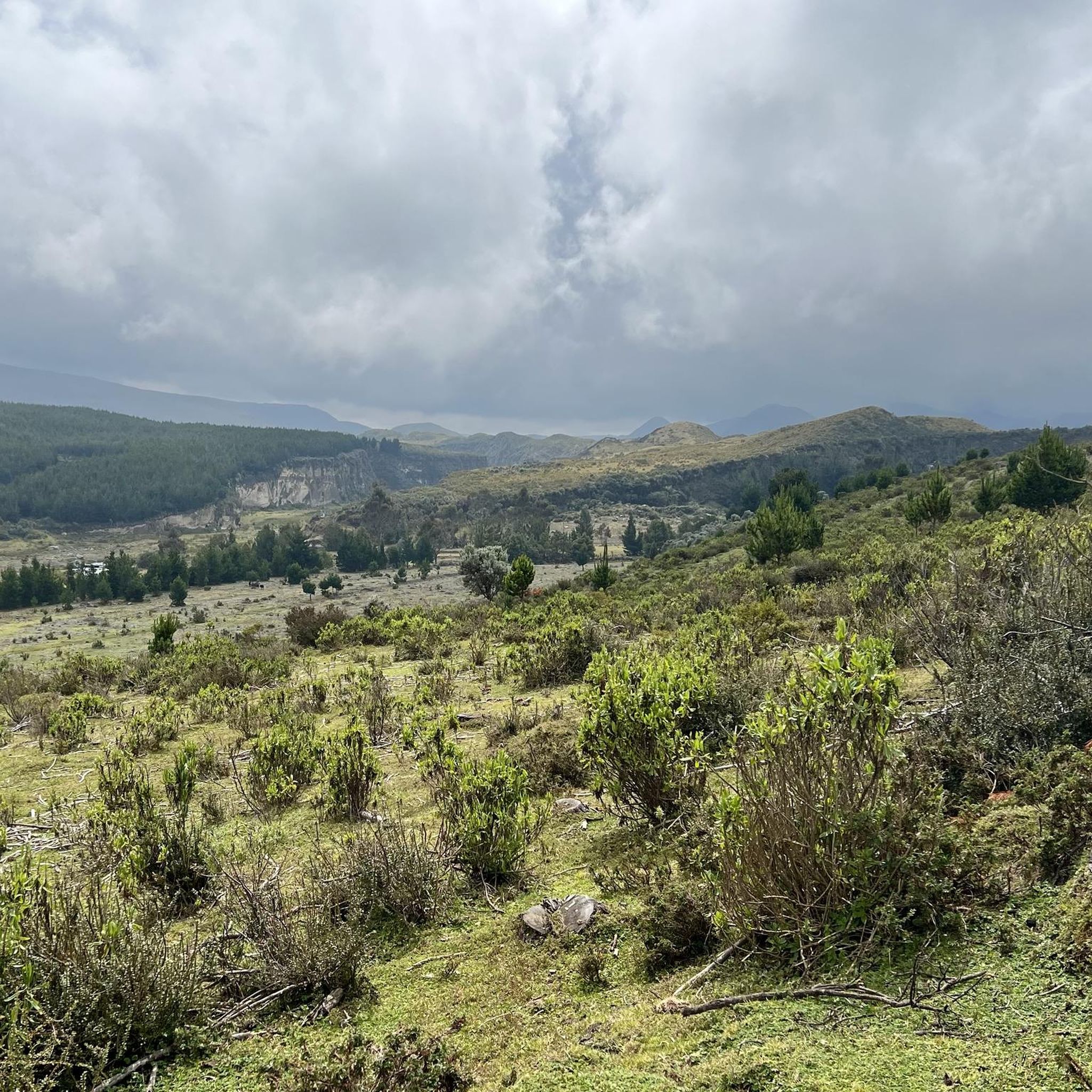
Road cycling routes in Amaguaña traverse diverse landscapes at the foot of the dormant Pasochoa volcano and alongside the San Pedro River. The region features varying terrains, from river valleys to Andean slopes, offering a range of elevation profiles. Cyclists can expect routes that navigate through areas characterized by natural springs and Andean rock formations. This geographical composition provides a challenging environment for road cyclists seeking varied ascents and descents.
Best road cycling routes in Amaguaña
- The most popular road…
Last updated: July 11, 2026
24
riders
73.7km
04:05
1,530m
1,530m
Hard road ride. Very good fitness required. Mostly well-paved surfaces and easy to ride.
5.0
(4)
12
riders
16.2km
00:59
420m
420m
Moderate road ride. Good fitness required. Mostly well-paved surfaces and easy to ride.

Sign up for free
3.0
(1)
11
riders
39.0km
02:01
660m
660m
Moderate road ride. Good fitness required. Mostly well-paved surfaces and easy to ride.
4.0
(1)
11
riders
33.2km
01:34
320m
320m
Moderate road ride. Good fitness required. Mostly well-paved surfaces and easy to ride.
10
riders
53.2km
02:45
750m
750m
Moderate road ride. Good fitness required. Mostly well-paved surfaces and easy to ride.
Get access to more routes and recommendations from other explorers.
Sign up for free
Already have an account?
Our route recommendations are based on thousands of hikes, rides, and runs completed by other people on komoot.
Start today with a free account
Your next adventure awaits.
Login or Signup
Popular around Amaguaña

Tips from the Community

Excellent Route
0
0
Frequently Asked Questions
How challenging are the road cycling routes in Amaguaña?
Road cycling in Amaguaña offers a range of challenges due to its Andean mountain, river valley, and volcanic slope terrain. The routes are primarily categorized as moderate or difficult. For instance, the Monjas loop from Entrada a Alcantara is a difficult route with significant elevation gain, while the Lloa Town Center loop from Solanda offers a moderate challenge with notable climbs.
What kind of landscapes and natural features can I expect to see while cycling in Amaguaña?
Amaguaña's road cycling routes traverse diverse landscapes, including the foot of the dormant Pasochoa volcano and alongside the San Pedro River. You'll encounter varying terrains from river valleys to Andean slopes, characterized by natural springs and Andean rock formations. The region is known for its breathtaking Andean scenery and unique vegetation, offering a rich natural experience.
Are there any family-friendly road cycling routes in Amaguaña?
While the guide primarily features moderate to difficult routes, the general terrain around the San Pedro River might offer flatter sections suitable for families. However, specific family-friendly routes with dedicated facilities are not detailed in the available information. It's recommended to review individual route profiles for elevation and distance to determine suitability for younger or less experienced riders.
Can I bring my dog on road cycling routes in Amaguaña?
The available information does not specify regulations or recommendations for cycling with dogs on Amaguaña's road routes. It's advisable to check local regulations regarding pets in natural areas or parks like the Pasochoa Wildlife Refuge or Parque Ecológico de Cachaco if your route passes through them.
Where can I park my car when starting a road cycling route in Amaguaña?
Specific parking facilities at trailheads are not detailed. However, for routes like the Monjas loop from Entrada a Alcantara or the Amaguaña Armario 1 – Castillo de Amaguaña Etapa I loop from La Armenia, starting points are often near residential or accessible areas where street parking might be available. It's recommended to check the specific starting location on the route map for potential parking options.
Is public transport available to Amaguaña for cyclists with bikes?
While Amaguaña is accessible by public transport, information on specific services that accommodate bicycles is not provided. In Ecuador, public buses often have limited space for large items. It's best to inquire directly with local bus operators regarding their policies for transporting bicycles.
Are there any specific permits or regulations for road cycling in Amaguaña?
There is no mention of specific permits required for road cycling on general routes in Amaguaña. However, if your route takes you into protected areas like the Pasochoa Wildlife Refuge, there might be entry fees or specific regulations for visitors, including cyclists. Always respect local signage and environmental guidelines.
What is the best time of year to go road cycling in Amaguaña?
Amaguaña, being in the Ecuadorian Andes, experiences a climate influenced by altitude. Generally, the dry season (June to September) offers more stable weather conditions, which can be ideal for cycling. However, the region's diverse ecosystems mean weather can be variable, so it's always wise to check local forecasts before heading out.
What do other cyclists say about road cycling in Amaguaña?
The road cycling routes in Amaguaña are highly rated by the komoot community, with an average score of 4.0 stars from more than 9 reviews. Over 80 road cyclists have used komoot to explore the varied terrain, often praising the challenging ascents and scenic descents through Andean landscapes.
Are there any circular road cycling routes available in Amaguaña?
Yes, many of the road cycling routes in Amaguaña are designed as loops, allowing you to start and end at the same point. Examples include the Cisne loop from Playa Chica 2 and the Roadbike loop from Capelo, which offer varied distances and elevations.
How many road cycling routes are available in Amaguaña?
There are 7 road cycling routes detailed in this guide for Amaguaña, offering a variety of distances and difficulty levels to explore the region's unique terrain.
Are there any routes suitable for beginners or those looking for an easier ride?
While the guide primarily lists moderate to difficult routes, with 5 moderate and 2 difficult options, there are no routes specifically categorized as 'easy'. The Lloa Town Center loop from Solanda and the Roadbike loop from Capelo are moderate options that might be more approachable for those seeking a less intense challenge compared to the difficult routes.
What are some notable landmarks or viewpoints along the road cycling routes?
While specific viewpoints are not detailed for every route, the region itself is rich in natural landmarks. Routes often offer views of the dormant Pasochoa volcano and follow the San Pedro River. The broader Andean scenery provides constant panoramic vistas. The Parque Ecológico de Cachaco, with its Andean rock formations and natural springs, is also a significant natural feature in the area that some routes may pass near.
Most popular routes in Amaguaña

Get inspired with the komoot mobile app


Explore more
Browse the best Road cycling routes in other regions.
