The best walks and hikes in Santa Rosa De Cabal
4.5
(812)
5,045
hikers
31
hikes
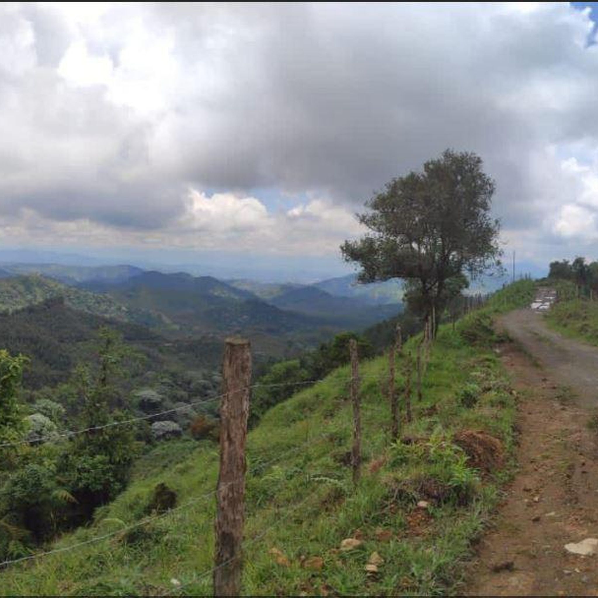
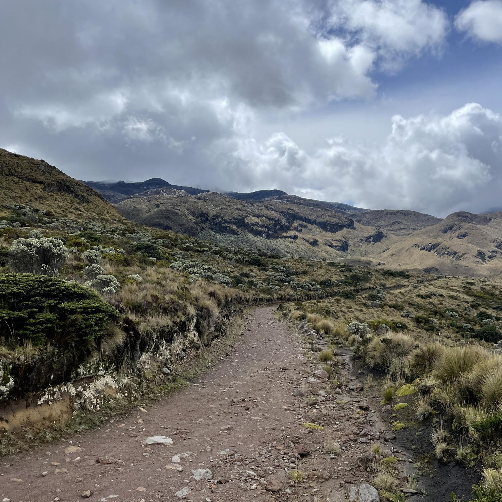
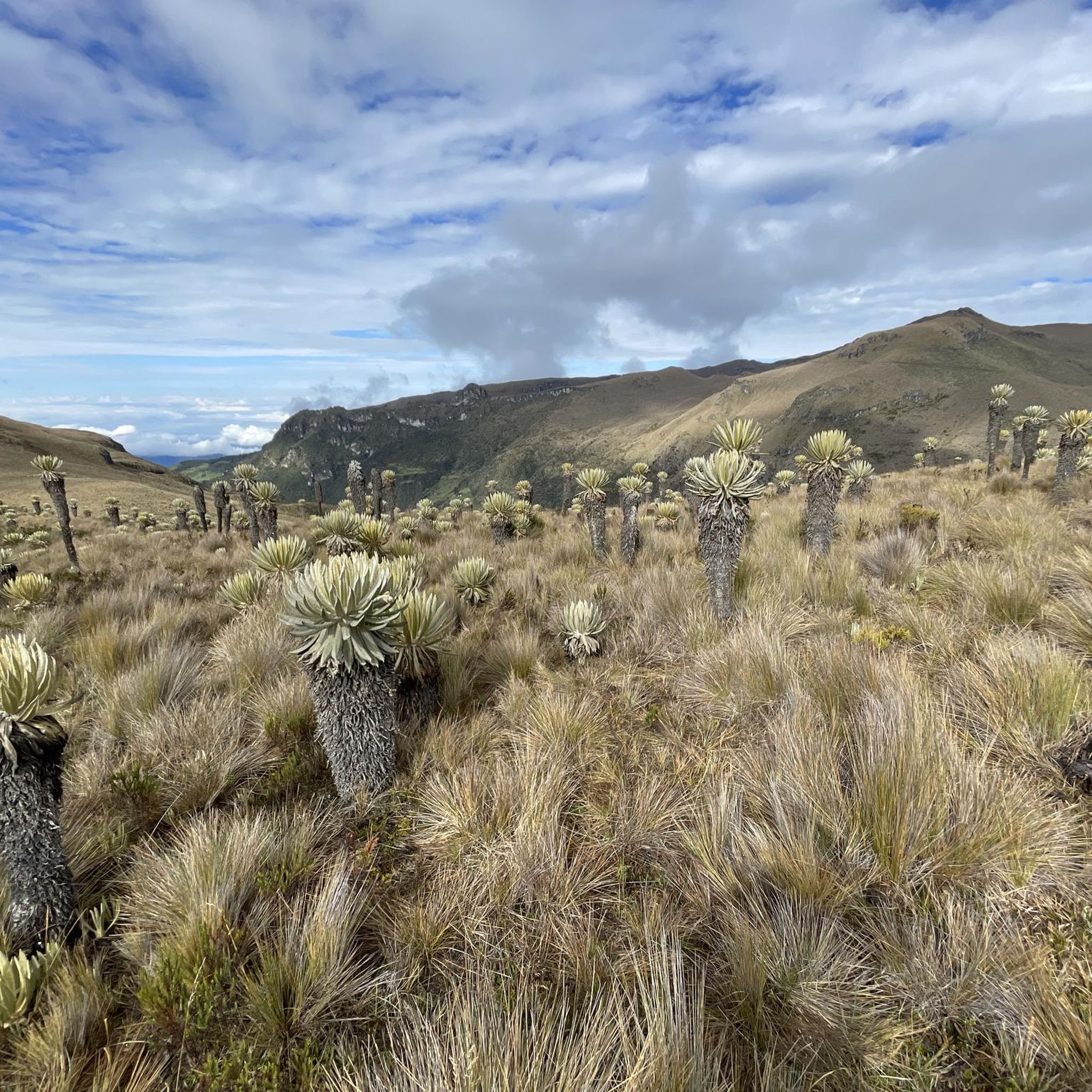
Hiking in Santa Rosa De Cabal offers diverse landscapes within Colombia's Coffee Cultural Landscape, characterized by the Andes mountains, lush cloud forests, and rolling hills. The region features volcanic landscapes, numerous waterfalls, and thermal springs, providing varied terrain for outdoor exploration. Trails often traverse verdant scenery, leading through diverse ecosystems and offering views of mountainous backdrops.
Best hiking trails in Santa Rosa De Cabal
- The most popular hiking route is Cocora Valley Loop Trail, a 5.6 miles (9.0 km) trail that takes 3 hours 33 minutes to complete. This moderate route explores the iconic Cocora Valley, known for its wax palm trees.
- Another top favourite among local hikers is Salento Coffee Farms Loop, a moderate 6.1 miles (9.8 km) path. This trail offers insights into the region's coffee culture amidst natural scenery.
- Local hikers also love the Ida y vuelta al cerro Morrogacho, a 7.0 miles (11.2 km) trail leading through mountainous terrain, often completed in about 5 hours 9 minutes.
- Hiking in Santa Rosa De Cabal is defined by volcanic landscapes, cloud forests, and waterfalls. The network offers options for different ability levels, from moderate walks to challenging ascents.
- The routes in Santa Rosa De Cabal are highly rated by the komoot community with an average score of 4.5 stars from more than 800 reviews. More than 5000 hikers have used komoot to explore Santa Rosa De Cabal's varied terrain.
Last updated: July 1, 2026
4.8
(424)
2,337
hikers
9.03km
03:33
530m
530m
Moderate hike. Good fitness required. Mostly accessible paths. Sure-footedness required.
4.5
(104)
279
hikers
9.81km
02:59
320m
320m
Moderate hike. Good fitness required. Easily-accessible paths. Suitable for all skill levels.

Sign up for free
4.7
(41)
264
hikers
11.2km
05:08
1,080m
1,080m
Hard hike. Very good fitness required. Mostly accessible paths. Sure-footedness required.
4.8
(19)
277
hikers
18.1km
08:21
1,150m
1,150m
Hard hike. Very good fitness required. Mostly accessible paths. Sure-footedness required.
4.5
(18)
217
hikers
5.31km
01:45
240m
240m
Easy hike. Great for any fitness level. Easily-accessible paths. Suitable for all skill levels.
Get access to more routes and recommendations from other explorers.
Sign up for free
Already have an account?
Our route recommendations are based on thousands of hikes, rides, and runs completed by other people on komoot.
Start today with a free account
Your next adventure awaits.
Login or Signup

Tips from the Community

What a beautiful landscape
0
0

The "Path to the River" refers to a trail leading down from the farm to the Río Quindío. The Finca is located about 4 km (approx. 1 hour on foot or 20 minutes by car/Willy-Jeep) southwest of Salento. A crystal-clear river flows about 300 meters below the farm. A marked path leads through the coffee plantations and a bamboo forest directly to the water. Alternative return route: Hikers often use a flat path along the river, which leads to the village of Boquía in about 35 minutes. From there, you can conveniently take a bus back to Salento to avoid the steep uphill return to the farm. In addition to river access, the farm offers guided tours.
0
0
The Las Acacias Coffee Farm (also known as Las Juntas Traditional Coffee Farm) is a family-run plantation. The farm offers authentic, less commercialized tours where visitors can learn about the entire process from sowing to roasting. Participants can pick, roast, and grind coffee beans themselves. The tour concludes with a tasting overlooking the mountains of the Coffee Triangle (Eje Cafetero). It is a traditional farm that uses organic techniques and is known for its personal atmosphere and diverse flora (fruit trees, flowers).
0
0
The Mirador 2 is the second significant viewpoint on the classic hiking trail. It offers an even more comprehensive panoramic view of the vast palm trees and surrounding cloud forests than the first Mirador.
0
0
The Mirador is located on the main hiking trail through the valley. It offers a closer perspective on the steep, palm-covered slopes and the highest peak in the valley. At this altitude of about 2,400 to 2,900 meters, hikers can often observe the majestic Andean condor.
0
0
The Bosque de Las Palmas trail is part of Los Nevados National Natural Park and is known for the wax palms, up to 60 meters high, the national tree of Colombia. The route is classified as moderate. It is about 4.3 km long and takes an average of 1.5 to 2 hours. The trail leads through Andean landscapes and rainforest sections. As the ground can often be slippery and muddy, sturdy footwear and the use of hiking poles are recommended. There are several Miradores (viewpoints) along the way.
0
0
The Cocora Valley is primarily famous for the Quindío wax palm (Ceroxylon quindiuense), the national tree of Colombia. It is considered the tallest palm species in the world and can reach an impressive height of 60 to 80 meters. These palms grow very slowly and can live for over 300 years. The name "Cocora" probably comes from a princess of the Quimbaya culture and translates to "Star of Water".
0
0

As you climb the path, the panoramic views surprise you with their tall wax palms rising amidst the rolling landscape. Simply spectacular.
0
0
Frequently Asked Questions
How many hiking trails are available in Santa Rosa De Cabal?
Santa Rosa De Cabal offers a diverse network of over 30 hiking trails. These routes cater to various skill levels, including easy, moderate, and difficult options, allowing everyone to explore the region's stunning landscapes.
Are there easy hiking trails suitable for beginners in Santa Rosa De Cabal?
Yes, Santa Rosa De Cabal has 8 easy hiking trails perfect for beginners or those looking for a relaxed walk. These paths often lead through lush greenery and offer gentle elevation gains, making them accessible for most fitness levels.
Can I find challenging hikes in Santa Rosa De Cabal?
Absolutely. For experienced hikers, there are 8 difficult trails, some requiring very good fitness and sure-footedness. Routes like Ida y vuelta al cerro Morrogacho, for instance, involve significant elevation gain and can take over 5 hours to complete, offering a true test of endurance amidst mountainous terrain.
What kind of natural features can I expect to see on hikes around Santa Rosa De Cabal?
Hiking in Santa Rosa De Cabal immerses you in a landscape rich with natural beauty. You'll encounter lush cloud forests, rolling hills, and diverse ecosystems characteristic of the Andes mountains. Many trails offer views of volcanic landscapes and lead to impressive waterfalls, such as the 95-meter-high Cascada Santa Helena, or the smaller Small waterfall on the Quindío river. The region is also known for its thermal springs and the iconic wax palm trees, especially around the Cocora Valley.
Are there any hikes that feature waterfalls in Santa Rosa De Cabal?
Yes, the region is dotted with beautiful waterfalls. Many trails, particularly those starting from or near the thermal complexes like Termales Santa Rosa de Cabal, incorporate treks through forests and past rivers leading to waterfalls. The impressive Cascada Santa Helena is a notable feature, and you can also find smaller cascades like the Small waterfall on the Quindío river along certain routes.
Are there family-friendly hiking options in Santa Rosa De Cabal?
While specific family-friendly routes are not detailed in the data, the presence of 8 easy trails suggests there are accessible paths suitable for families. These shorter, less strenuous options would allow families to enjoy the natural beauty without excessive challenge. Look for routes with moderate elevation gain and shorter durations, typically up to two hours.
What is the best time of year to go hiking in Santa Rosa De Cabal?
The best time to hike in Santa Rosa De Cabal generally aligns with the drier seasons in Colombia, typically from December to March and July to August. During these months, you can expect more stable weather conditions, less rain, and clearer views, making for more enjoyable and safer hiking experiences in the mountainous terrain.
Do I need any permits for hiking in Los Nevados National Natural Park?
Yes, hiking in Los Nevados National Natural Park, which is accessible from Santa Rosa De Cabal, often requires permits. Due to its protected status and challenging alpine conditions, it's crucial to check with park authorities or tour operators for current regulations regarding entry, guides, and any necessary permits before planning your trek.
What do other hikers say about the trails in Santa Rosa De Cabal?
The hiking trails in Santa Rosa De Cabal are highly regarded by the komoot community, boasting an average rating of 4.5 stars from over 800 reviews. Hikers frequently praise the diverse terrain, from lush cloud forests to volcanic landscapes, and the stunning natural features like waterfalls and thermal springs. Many appreciate the variety of options available for different skill levels.
Are there any nearby attractions or points of interest I can visit after a hike?
Absolutely! Santa Rosa De Cabal is surrounded by interesting attractions. After your hike, you could explore the famous Cocora Valley with its towering wax palm trees, or visit the thermal springs for relaxation. Other points of interest include the Puentes y sendas del valle del Cocora and the Bosque de Palmas Trail. For more information on the thermal baths, you can visit visitmycolombia.com.
Are there circular hiking routes available in Santa Rosa De Cabal?
Yes, there are several circular hiking routes in the area. A popular option is the Cocora Valley Loop Trail, which is a moderate 5.6-mile route that allows you to experience the iconic valley without retracing your steps. Another is the Salento Coffee Farms Loop, offering insights into the region's coffee culture.
How can I get to the hiking trails using public transport?
Santa Rosa De Cabal is well-connected, and local buses or 'colectivos' often serve routes to nearby towns and natural attractions. For trails leading into areas like the Cocora Valley or towards the thermal springs, public transport options are usually available from the main town. It's advisable to check local schedules and routes upon arrival for the most up-to-date information.
Is parking available near the hiking trails?
For many popular trailheads, especially those leading to well-known attractions like the Cocora Valley or thermal resorts, designated parking areas are typically available. However, for more remote trails, parking might be limited to roadside spots or small informal areas. Always ensure your vehicle is parked safely and legally.
Most popular attractions in Santa Rosa De Cabal

Get inspired with the komoot mobile app


Explore more
Browse the best Hikes in other regions.
