The best running trails in Santa Rosa De Cabal
4.6
(16)
216
runners
19
runs
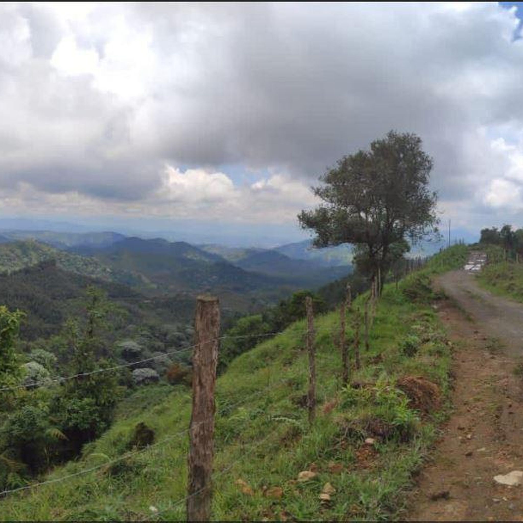
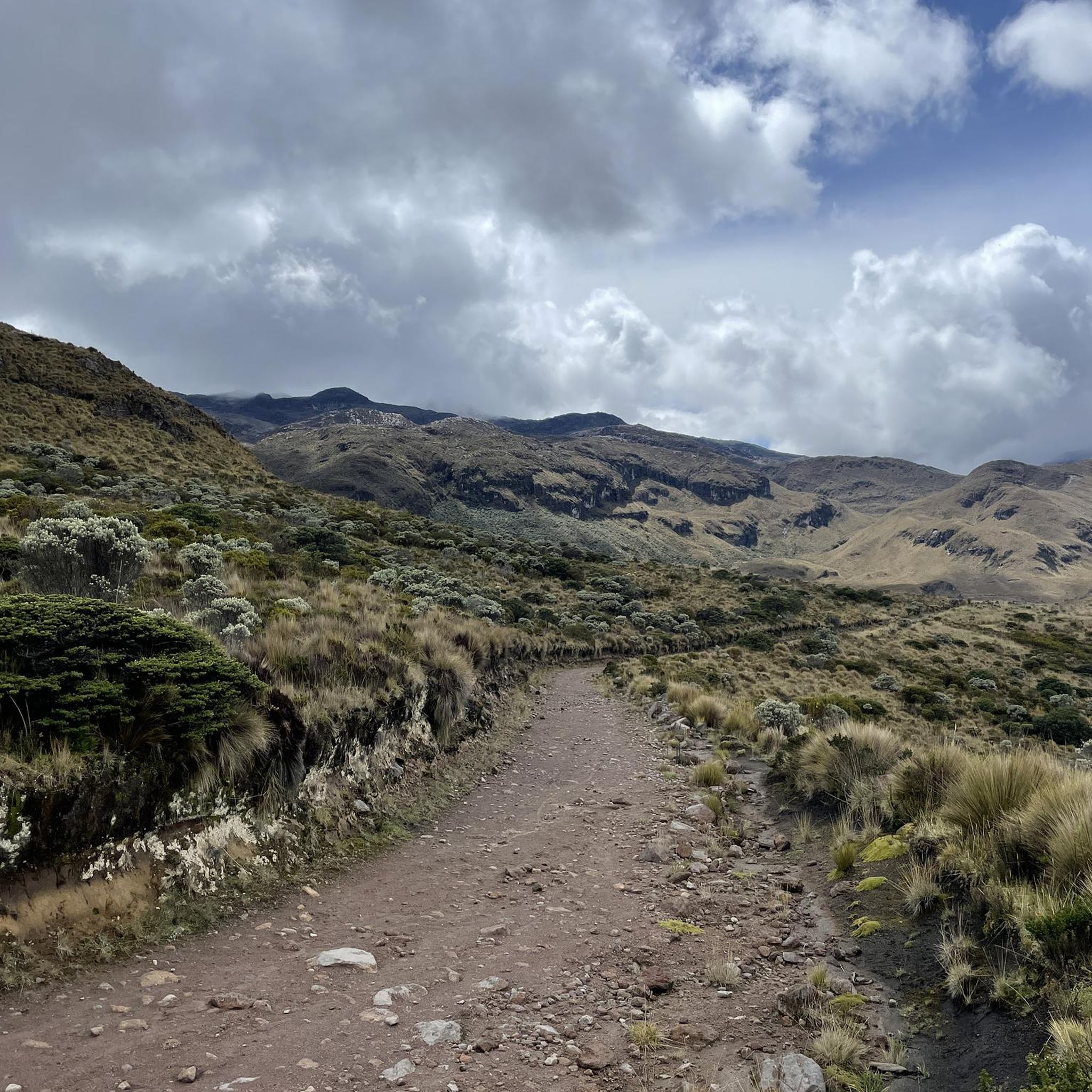
Jogging in Santa Rosa De Cabal offers routes through the region's diverse terrain, characterized by rolling hills, lush valleys, and agricultural landscapes. The area's elevation changes provide challenging running experiences with significant climbs and descents. These running routes often traverse natural settings, providing a varied environment for outdoor activity.
Best jogging routes in Santa Rosa De Cabal
- The most popular jogging route is Running loop from Cocora, a 5.8 miles (9.4 km) trail that takes 1 hour 35 minutes…
Last updated: July 1, 2026
4.4
(5)
36
runners
12.4km
01:49
530m
530m
Hard run. Very good fitness required. Mostly paved surfaces. Suitable for all skill levels.
4.5
(2)
18
runners
14.4km
01:44
400m
400m
Hard run. Very good fitness required. Mostly paved surfaces. Suitable for all skill levels.

Sign up for free
4.0
(1)
9
runners
29.0km
04:12
1,220m
1,220m
Hard run. Very good fitness required. Mostly paved surfaces. Suitable for all skill levels.
8
runners
9.73km
01:25
440m
440m
Hard run. Very good fitness required. Mostly paved surfaces. Suitable for all skill levels.
8
runners
17.5km
02:42
930m
930m
Hard run. Very good fitness required. Mostly paved surfaces. Suitable for all skill levels.
Get access to more routes and recommendations from other explorers.
Sign up for free
Already have an account?
Our route recommendations are based on thousands of hikes, rides, and runs completed by other people on komoot.
Start today with a free account
Your next adventure awaits.
Login or Signup
Popular around Santa Rosa De Cabal

Tips from the Community

The "Path to the River" refers to a trail leading down from the farm to the Río Quindío. The Finca is located about 4 km (approx. 1 hour on foot or 20 minutes by car/Willy-Jeep) southwest of Salento. A crystal-clear river flows about 300 meters below the farm. A marked path leads through the coffee plantations and a bamboo forest directly to the water. Alternative return route: Hikers often use a flat path along the river, which leads to the village of Boquía in about 35 minutes. From there, you can conveniently take a bus back to Salento to avoid the steep uphill return to the farm. In addition to river access, the farm offers guided tours.
0
0
This viewpoint is located in the department of Quindío, in the heart of the Colombian Coffee Triangle. The Mirador is near Salento and offers a panoramic view of the green mountains and coffee plantations of the Quindío Valley.
0
0
The Calle Real (Carrera 6) is the pulsating heart of Salento and is considered one of the most photogenic streets in Colombia. The street is famous for its well-preserved colonial architecture. The two-story houses with their brightly painted balconies, doors, and window frames are the hallmark of the village. On the ground floors, you will find countless small shops selling traditional handicrafts, jewelry made from coffee beans, hand-woven ponchos (Ruanas), and of course, locally roasted specialty coffee.
0
0
This is the viewpoint in Salento, Colombia, which offers a breathtaking view over the valley and the surrounding area. The place is a popular starting point for an easy hike, often called the "Salento Viewpoint Loop". The area is known for the nearby Cocora Valley, which is famous for its tall wax palms. Nearby, there are also traditional coffee farms that offer tours of the production process.
0
0
This is the viewpoint in Salento, Colombia, which offers a breathtaking view over the valley and the surrounding area. The place is a popular starting point for an easy hike, often referred to as the "Salento Viewpoint Loop". The area is known for the nearby Cocora Valley, which is famous for its tall wax palms. Nearby, there are also traditional coffee farms that offer tours of the production process.
0
0
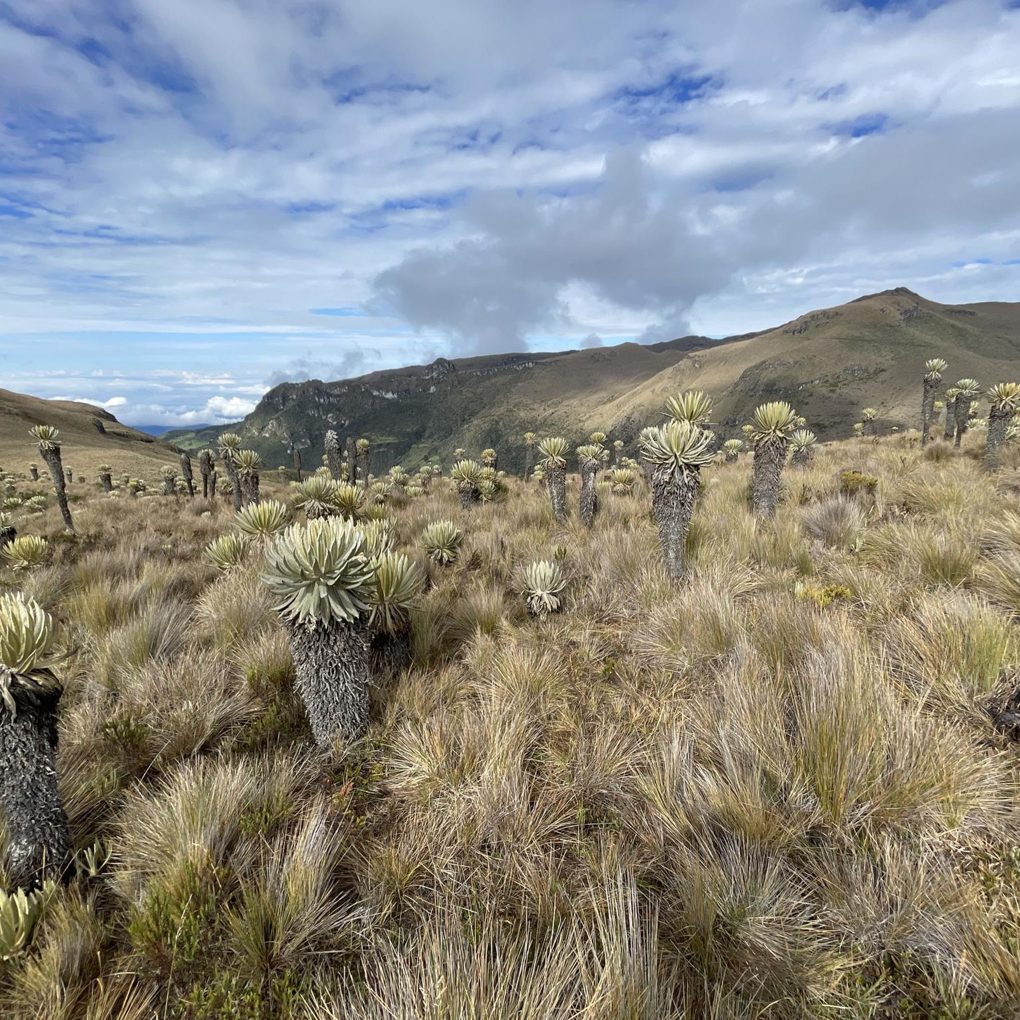
A colorful municipality in the Colombian coffee region (Eje Cafetero), known for its colonial architecture and natural wonders. Famous for the wax palms (national tree of Colombia) up to 60 meters high. Culture: Colorful house facades in the Calle Real and numerous traditional coffee farms (Fincas) offering tours.
1
0
The Las Acacias Coffee Farm (also known as Las Juntas Traditional Coffee Farm) is a family-run plantation. The farm offers authentic, less commercialized tours where visitors can learn about the entire process from sowing to roasting. Participants can pick, roast, and grind coffee beans themselves. The tour concludes with a tasting overlooking the mountains of the Coffee Triangle (Eje Cafetero). It is a traditional farm that uses organic techniques and is known for its personal atmosphere and diverse flora (fruit trees, flowers).
0
0
The Cascada Santa Rita is a popular natural destination in the private nature reserve Reserva Natural Santa Rita in the Boquía sector. The hike to the waterfall is considered relatively easy and leads through a picturesque landscape with cow pastures, rivers, and old tunnels. A popular circular route is about 7.9 km long and takes an average of 3.5 to 4 hours. The approximately 20-meter-high waterfall plunges into a natural pool that invites swimming. Access to the private property is subject to a fee. The price is 11,000 Colombian pesos, with visitors gladly welcomed with a free coffee.
0
0
Frequently Asked Questions
Are there easy running routes in Santa Rosa De Cabal?
While Santa Rosa De Cabal is known for its challenging terrain, featuring significant elevation changes, there are a few moderate running routes available. The majority of the 21 routes in the area are classified as difficult, offering a good workout for experienced runners.
What are the typical distances for running trails in Santa Rosa De Cabal?
Running routes in Santa Rosa De Cabal vary in length. For example, the Running loop from Cocora is about 5.8 miles (9.4 km), while longer options like the Santa Rita Waterfall – Viewpoint of Salento loop from Salento extend to nearly 18 miles (29 km).
Are there any running routes that feature waterfalls or other natural attractions?
Yes, several routes offer scenic views and pass by natural attractions. For instance, the challenging Santa Rita Waterfall – Viewpoint of Salento loop from Salento includes the beautiful Santa Rita Waterfall. Other highlights in the region include the Small waterfall on the Quindío river and the Misty Forest Waterfall.
Can I find circular running routes in Santa Rosa De Cabal?
Yes, many of the running paths in Santa Rosa De Cabal are designed as loops, allowing you to start and finish at the same point. Popular examples include the Running loop from Cocora and the Calle Real loop from Salento.
What do other runners enjoy most about jogging in Santa Rosa De Cabal?
The running routes in Santa Rosa De Cabal are highly rated by the komoot community, with an average score of 4.5 stars from over 15 reviews. Runners often praise the region's diverse terrain, including rolling hills, lush valleys, and agricultural landscapes, which provide varied and scenic running experiences.
Are there any running trails suitable for families with children?
Given the region's hilly terrain and the fact that most routes are classified as moderate to difficult, many trails might be challenging for younger children. It's advisable to check the specific route details for elevation gain and distance to determine suitability for your family.
What kind of landscapes can I expect to see while running in Santa Rosa De Cabal?
You can expect to run through diverse landscapes, including green valleys, agricultural areas, and coffee plantations. Routes like the Calle Real loop from Salento offer views of the surrounding coffee landscapes and local pathways, while others traverse natural settings with notable elevation changes.
How many running routes are available in the Santa Rosa De Cabal area?
There are over 20 running routes available in Santa Rosa De Cabal, offering a variety of experiences for different fitness levels, though many feature significant elevation gain.
Are there any long-distance running options for experienced athletes?
Absolutely. For those seeking a significant challenge, routes like the Finca Buenos Aires – Finca la Argentina loop from Cocora cover over 14 miles (23 km) with substantial elevation changes, making them ideal for experienced runners looking for a demanding workout.
What is the best time of year for running in Santa Rosa De Cabal?
Santa Rosa De Cabal generally experiences a mild climate year-round due to its altitude. However, the region has distinct wet and dry seasons. The drier months, typically from December to March and July to August, might offer more comfortable running conditions with less rain, though trails can be enjoyed throughout the year.
Are there any specific points of interest or landmarks along the running routes?
Beyond natural features, some routes pass through or near local towns and agricultural areas, offering glimpses into the region's culture and coffee production. The Salento loop from Salento, for instance, leads through varied terrain around the town of Salento, providing a mix of natural beauty and local charm.
Most popular attractions in Santa Rosa De Cabal

Get inspired with the komoot mobile app


Explore more
Browse the best Running Trails & Routes in other regions.
