The best cycling routes in Cajicá
4.8
(304)
3,458
riders
13
rides
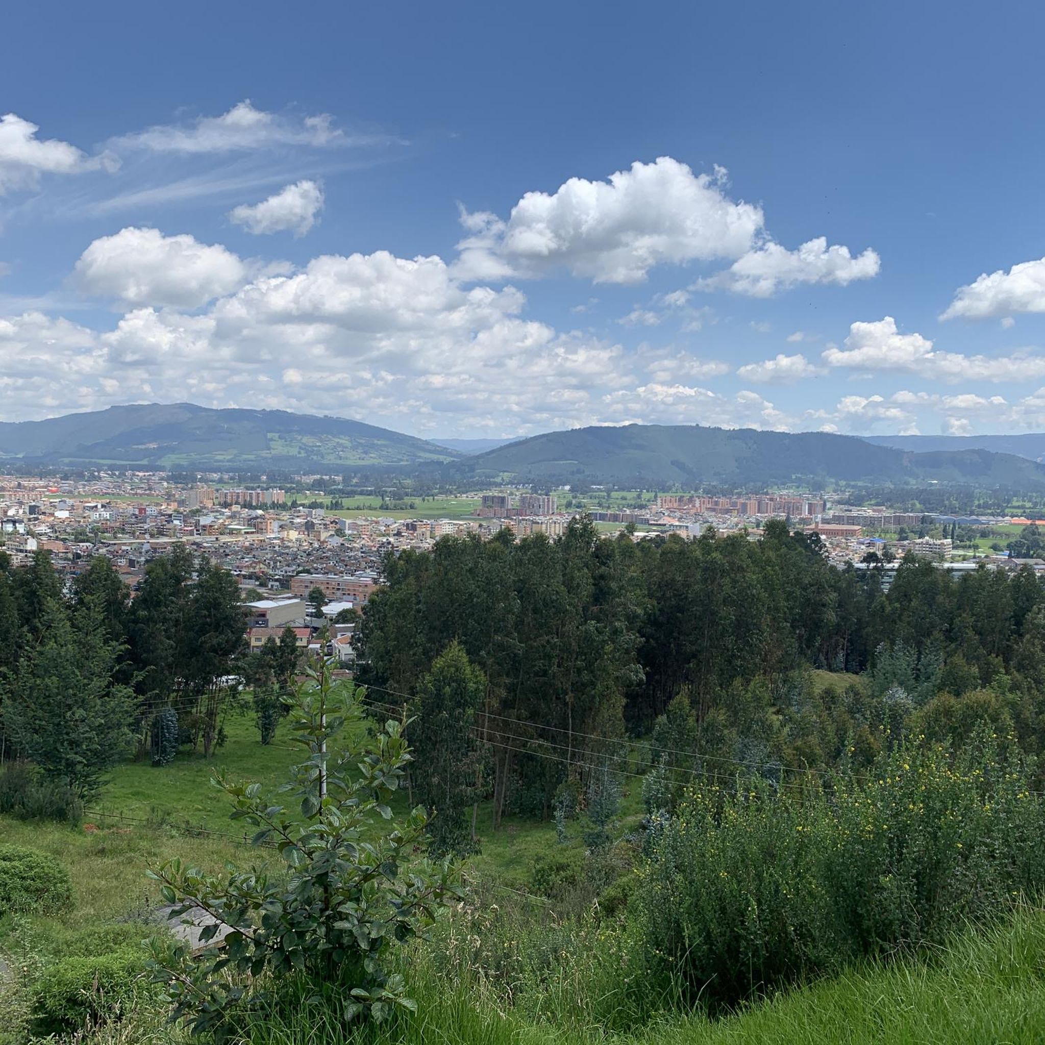
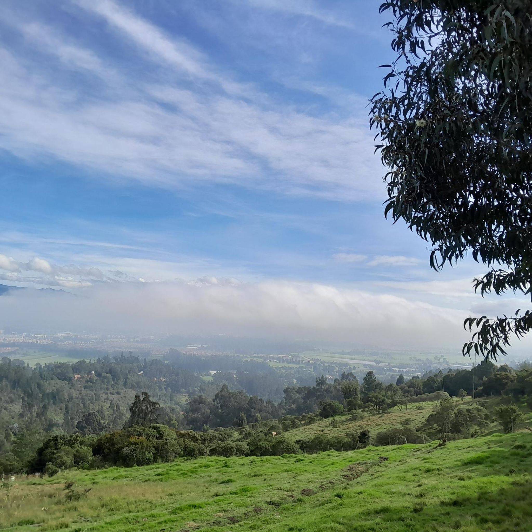
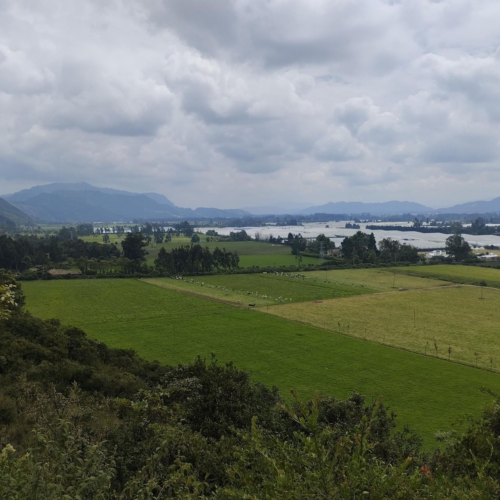
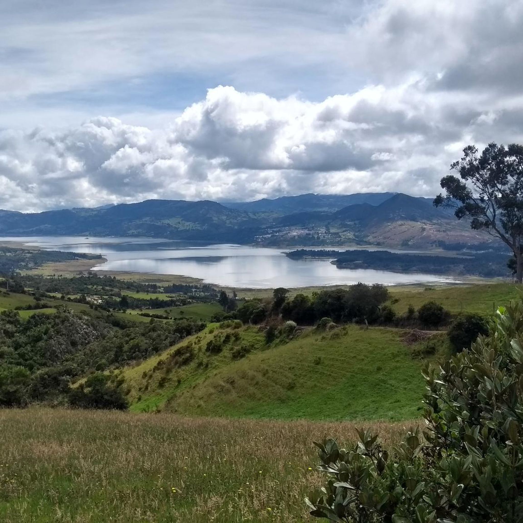
Touring cycling in Cajicá offers diverse routes through the Cundinamarca department of Colombia. The region is characterized by its setting within the Andean mountains, providing varying elevations and scenic backdrops. Cajicá is situated on the Sabana de Bogotá, a high-altitude plateau that includes both relatively flat sections and rolling hills. Rural roads connect Cajicá with neighboring towns, passing through agricultural areas.
Best touring cycling routes in Cajicá
- The most popular touring cycling route is Subachoque Church – Alto de Canicas loop from Estación de Tren de Cajicá, a 29.8 miles (48.0 km) trail that takes 3 hours 18 minutes to complete. This difficult route features significant elevation gain, characteristic of the Andean region.
- Another top favourite among local touring cyclists is San Jorge Ascent – Cajicá loop from Estación de Tren de Cajicá, a difficult 24.8 miles (39.9 km) path. This route leads through rolling terrain with views of the surrounding mountain landscape.
- Local touring cyclists also love the Cajicá – Hydration Point loop from Estación de Tren de Cajicá, a 24.8 miles (39.9 km) trail leading through the high-altitude plateau, often completed in about 2 hours 53 minutes.
- Touring cycling in Cajicá is defined by Andean mountain scenery, high-altitude plateau sections, and rural roads. The network offers options for easy, moderate, and difficult routes, catering to different ability levels.
- The routes in Cajicá are highly rated by the komoot community with an average score of 4.8 stars from over 290 reviews. More than 3700 touring cyclists have used komoot to explore Cajicá's varied terrain.
Last updated: June 28, 2026
5.0
(8)
111
riders
48.0km
03:18
800m
800m
Hard bike ride. Very good fitness required. Mostly paved surfaces. Suitable for all skill levels.
5.0
(3)
20
riders
40.5km
02:27
190m
190m
Moderate bike ride. Good fitness required. Mostly paved surfaces. Suitable for all skill levels.

Sign up for free
5.0
(2)
19
riders
40.2km
02:54
240m
240m
Moderate bike ride. Good fitness required. Mostly paved surfaces. Suitable for all skill levels.
5.0
(1)
17
riders
34.0km
02:04
130m
130m
Moderate bike ride. Good fitness required. Mostly paved surfaces. Suitable for all skill levels.
16
riders
28.7km
01:55
210m
210m
Moderate bike ride. Good fitness required. Mostly paved surfaces. Suitable for all skill levels.
Get access to more routes and recommendations from other explorers.
Sign up for free
Already have an account?
Our route recommendations are based on thousands of hikes, rides, and runs completed by other people on komoot.
Start today with a free account
Your next adventure awaits.
Login or Signup
Tips from the Community


The best town in Cundinamarca
0
0

beautiful place ☺️
0
0

3 Puertos Gravel is a must-see stop for all gravel and cycling fans. The place is super cozy and the food is delicious! I tried the pecan pie and the kefir and apple toast, both spectacular. In addition, the owners are very friendly, they helped me adjust my route and recommended other routes in the area. They have several Colombian brands of cycling equipment, and it is a note to talk about the products, it is clear that they know them perfectly. They must have tested everything before putting it in the store! In short, 3 Puertos Gravel is not just a place to stop to eat, it is a place to sit and patch before, during or after pedaling.
1
0

The view is very good, and it is worth going up
0
0

BEAUTIFUL LANDSCAPES AND GOOD TRAINING
1
1


Good objective, I suggest via Patios round trip to train various types (hill, bottom, hitts if you want in Arepas).
0
0
Frequently Asked Questions
What kind of terrain can I expect on touring cycling routes in Cajicá?
Cajicá offers a diverse range of terrain for touring cyclists. You'll find routes winding through the majestic Andean mountains, providing breathtaking views and varying elevations. The region is also part of the Sabana de Bogotá, a high-altitude plateau with a mix of relatively flat stretches and rolling hills. Many routes utilize quiet rural roads connecting Cajicá with neighboring towns, often passing through scenic agricultural areas. Both paved and unpaved sections are common, catering to different cycling preferences.
Are there touring cycling routes for all skill levels in Cajicá?
Yes, Cajicá provides touring cycling routes suitable for various skill levels. The area features 3 easy routes, 6 moderate routes, and 6 difficult routes, ensuring options for beginners, intermediate riders, and experienced cyclists seeking a challenge. This variety allows everyone to find a route that matches their fitness and experience.
What natural features can I see while touring cycling in Cajicá?
While touring cycling in Cajicá, you can immerse yourself in the stunning Andean mountain scenery and the expansive Sabana de Bogotá. Routes often provide panoramic vistas of lush forests and high elevations. Specific highlights you might encounter include the challenging Alto de Canicas, the scenic Yerbabuena Climb, and the Patiguapos Climb (San Jorge). You can also explore sections of the Subachoque–La Pradera Road, known for its cycling appeal.
Are there any family-friendly touring cycling routes in Cajicá?
Yes, Cajicá offers several family-friendly touring cycling routes, particularly among its 3 easy and 6 moderate options. These routes often feature the relatively flat stretches and rolling hills of the Sabana de Bogotá, making them suitable for riders of varying ages and abilities. Look for routes with lower elevation gains and shorter distances for a comfortable family outing.
Can I find circular touring cycling routes in Cajicá?
Many of the touring cycling routes in Cajicá are designed as loops, offering convenient circular journeys. For example, you can explore routes like the San Jorge Ascent – Cajicá loop from Estación de Tren de Cajicá or the Cajicá – Welcome Sign to Tabio loop from Estación de Tren de Cajicá, which allow you to start and finish at the same point, often from the Estación de Tren de Cajicá.
What is the best time of year for touring cycling in Cajicá?
Cajicá benefits from a cool, crisp Andean climate year-round, making it generally pleasant for touring cycling. While specific seasonal variations exist, the consistent temperatures mean you can enjoy the routes most days. It's always a good idea to check the local weather forecast before heading out, especially for rain, which can occur at any time.
How challenging are the difficult touring cycling routes in Cajicá?
The difficult touring cycling routes in Cajicá are designed for experienced cyclists with very good fitness, featuring significant elevation gains characteristic of the Andean region. For instance, the Subachoque Church – Alto de Canicas loop from Estación de Tren de Cajicá covers 48.0 km with over 800 meters of elevation gain, while the Cajicá – Alto de Yerbabuena loop from Estación de Tren de Cajicá is 39.2 km with over 580 meters of ascent. These routes offer substantial physical challenges and rewarding views.
What do other touring cyclists enjoy the most about touring cycling in Cajicá?
The touring cycling routes in Cajicá are highly rated by the komoot community, with an average score of 5.0 stars from over 70 reviews. Cyclists often praise the diverse Andean mountain scenery, the mix of flat and rolling terrain on the Sabana de Bogotá, and the quiet rural roads that connect charming towns. The variety of routes, catering to all skill levels, is also a frequently appreciated aspect.
Are there any points of interest or towns I can visit on a touring bike from Cajicá?
Absolutely! Cajicá's strategic location allows you to explore neighboring towns and attractions by touring bike. You can cycle to towns like Zipaquirá, Chía, Tabio, and Tocancipá, experiencing local life and agricultural areas. For cultural immersion, consider routes that could lead you towards the renowned Salt Cathedral of Zipaquirá or Parque Jaime Duque, which are significant regional attractions.
How long do touring cycling routes in Cajicá typically take to complete?
The duration of touring cycling routes in Cajicá varies significantly based on distance, elevation, and your pace. For example, a moderate route like the San Jorge Ascent – Cajicá loop from Estación de Tren de Cajicá, which is 39.9 km, can be completed in about 2 hours 21 minutes. More challenging routes, such as the Cajicá – Hydration Point loop from Estación de Tren de Cajicá (39.9 km with more elevation), might take around 2 hours 53 minutes. Always check the estimated duration for your chosen route.
Are there opportunities to see viewpoints or scenic vistas on Cajicá's touring cycling routes?
Yes, Cajicá's location in the Andean region means many touring cycling routes offer spectacular viewpoints and scenic vistas. As you ascend through the mountains or traverse the rolling hills of the Sabana de Bogotá, you'll be rewarded with panoramic views of the surrounding landscapes. Routes that include climbs like Alto de Canicas or Yerbabuena Climb are particularly known for their expansive outlooks.
Most popular attractions in Cajicá

Get inspired with the komoot mobile app


Explore more
Browse the best Cycling routes in other regions.
