The best walks and hikes in Cajicá
4.7
(7)
92
hikers
9
hikes
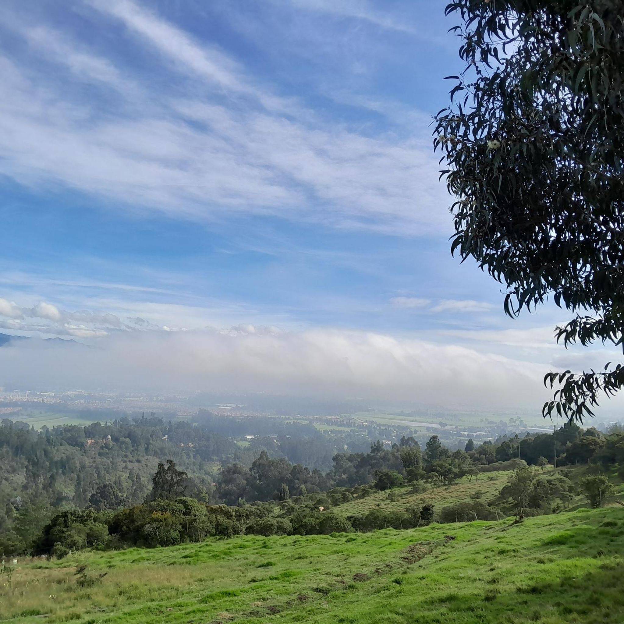
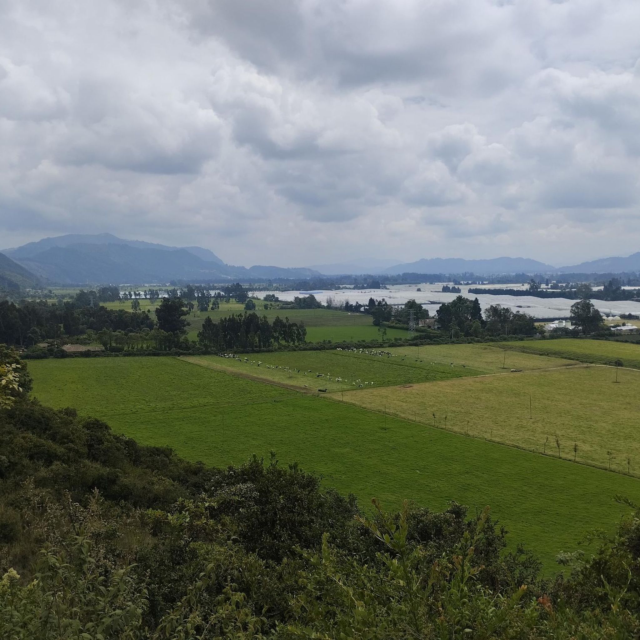
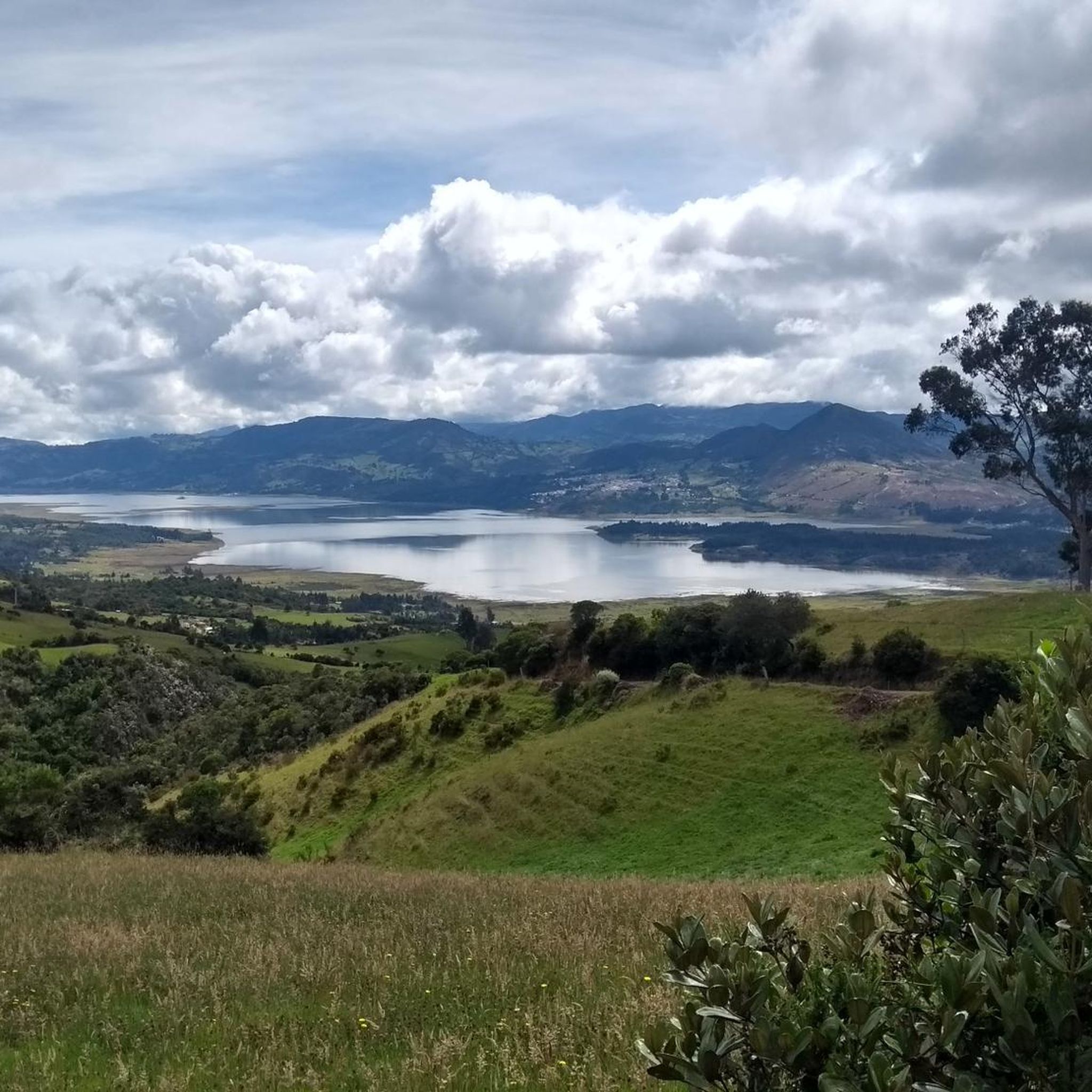
Hiking in Cajicá offers diverse terrain in the Cundinamarca department of Colombia, providing a tranquil escape from urban areas. The region features elevated areas like Alto de Canicas, known for panoramic vistas, and archaeological sites such as Piedras de Tunjaquira. Situated within the Central Savanna Province, Cajicá's landscape is characterized by expansive savannas and varied natural beauty, suitable for different levels of outdoor activity.
Best hiking trails in Cajicá
- The most popular hiking route is La Cumbre loop from Campus…
Last updated: June 28, 2026
4.7
(3)
27
hikers
12.2km
03:39
350m
350m
Moderate hike. Good fitness required. Easily-accessible paths. Suitable for all skill levels.
5.0
(1)
25
hikers
5.79km
01:50
230m
230m
Easy hike. Great for any fitness level. Easily-accessible paths. Suitable for all skill levels.

Sign up for free
4.0
(1)
12
hikers
9.97km
03:02
280m
280m
Moderate hike. Good fitness required. Easily-accessible paths. Suitable for all skill levels.
5.0
(1)
5
hikers
Moderate hike. Good fitness required. Easily-accessible paths. Suitable for all skill levels.
6
hikers
3.60km
01:06
110m
120m
Easy hike. Great for any fitness level. Easily-accessible paths. Suitable for all skill levels.
Get access to more routes and recommendations from other explorers.
Sign up for free
Already have an account?
Our route recommendations are based on thousands of hikes, rides, and runs completed by other people on komoot.
Start today with a free account
Your next adventure awaits.
Login or Signup
Tips from the Community

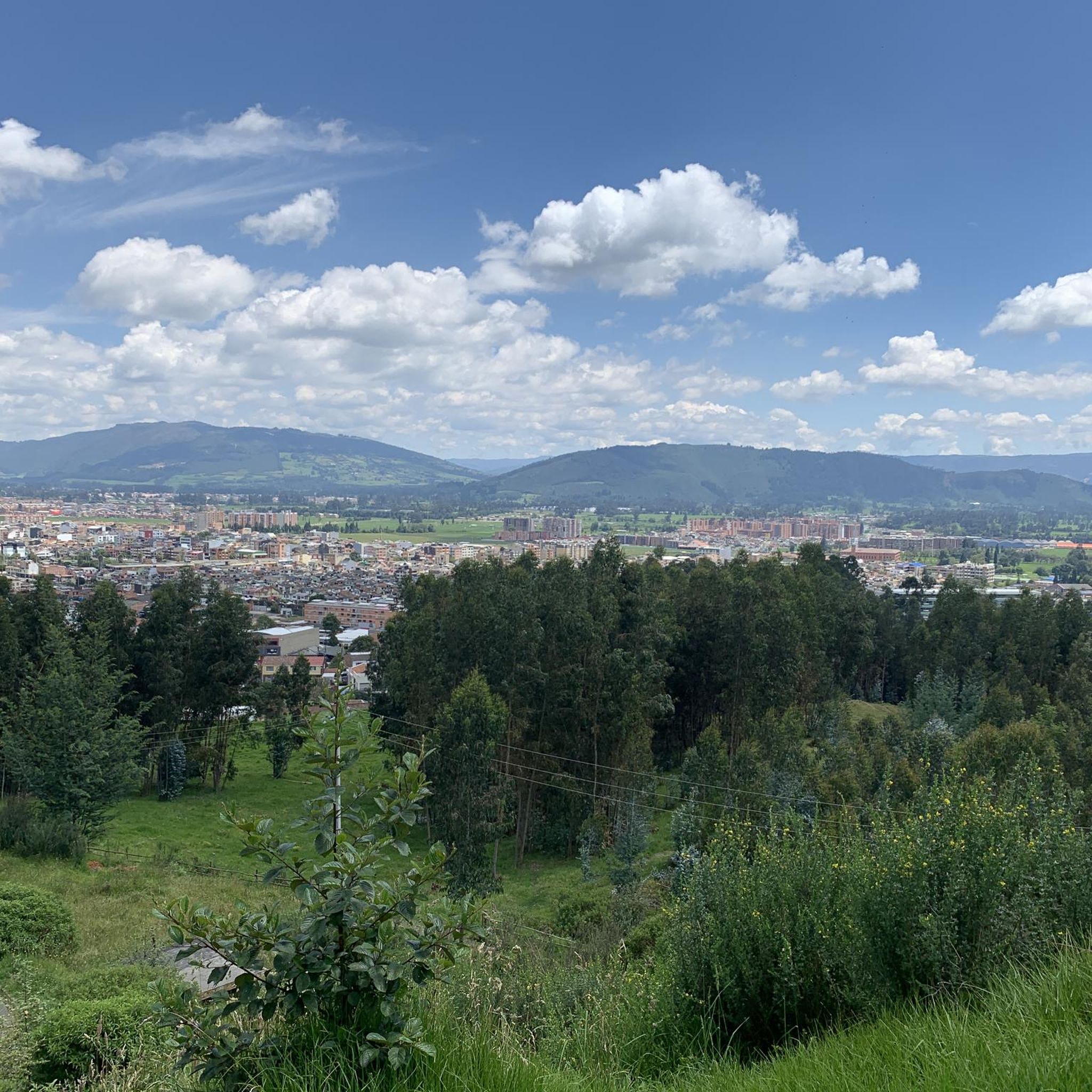
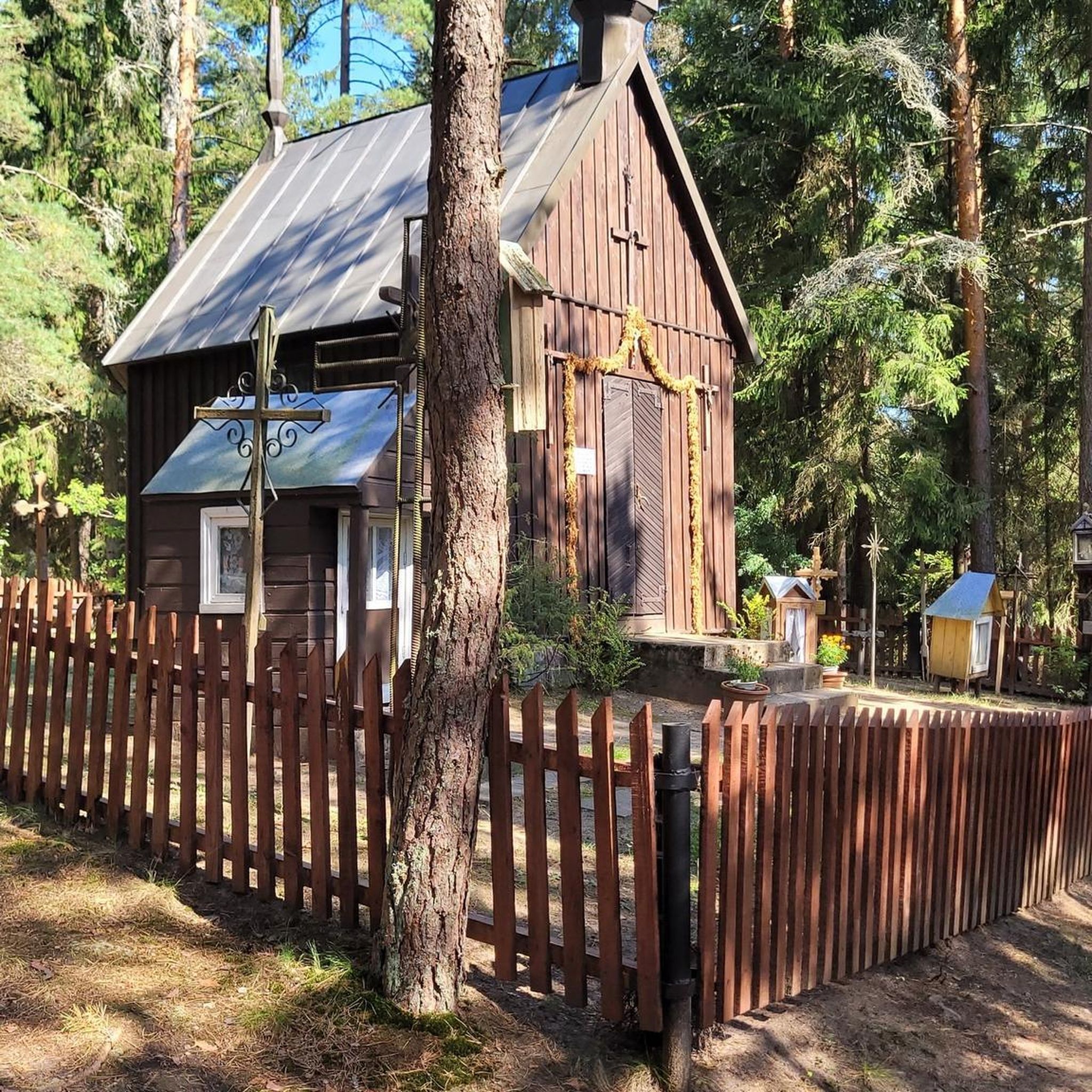
The viewpoint at the Iglesia de Valvanera (also known as Capilla de la Valvanera), located on the Cerro de la Cruz in Chía. The chapel is situated on a western ridge that separates the valleys of Chía and Tenjo. From here, you have a panoramic view of the Bogotá savanna and parts of the Colombian capital.
0
0

eco shop and traditional food
0
0

There are plenty of dining options on the square.
0
0

Old train station where there is a big train station especially on weekends when the tourist pays his respects.
0
0
In addition to the salt cathedral, a detour through the historic old town with its hustle and bustle around the large square and its side streets is also worthwhile.
1
0
Frequently Asked Questions
What types of landscapes and natural features can I expect to see while hiking in Cajicá?
Cajicá, situated within the Central Savanna Province, offers diverse landscapes. You'll encounter expansive savannas and natural beauty characteristic of the region. Elevated areas like Alto de Canicas provide panoramic vistas, while archaeological sites such as Piedras de Tunjaquira blend historical discovery with natural exploration. The trails often feature varied terrain and elevation changes, providing a rich outdoor experience.
Are there any family-friendly hiking options in Cajicá?
Yes, Cajicá offers options suitable for families. For a gentler experience, local parks provide ideal settings for leisurely strolls and picnics. For a slightly more adventurous but still manageable hike, consider the Valvanera Church loop from Chía, an easy 2.2-mile (3.6 km) trail that takes about 1 hour 6 minutes to complete through local natural environments.
Can I find circular hiking routes in Cajicá?
Absolutely. Many of Cajicá's popular trails are designed as loops, allowing you to start and end at the same point. A great example is the La Cumbre loop from Campus Nueva Granada, a moderate 7.6-mile (12.2 km) route with varied terrain, or the House loop from Cajicá, a moderate 6.2-mile (10.0 km) path offering scenic views.
What are some notable points of interest or attractions near the hiking trails in Cajicá?
While hiking in Cajicá, you can explore several interesting points. The archaeological site of Piedras de Tunjaquira is a significant draw, featuring ancient petroglyphs. For stunning views, consider routes that pass through or near Alto de Canicas, an elevated area known for its panoramic vistas. Other nearby highlights include Yerbabuena Climb and Patiguapos Climb (San Jorge).
How many hiking trails are available in Cajicá?
There are over 10 hiking trails recorded in Cajicá, offering a variety of experiences for different skill levels. These include easy strolls and more challenging climbs, ensuring there's something for every hiker.
What do other hikers say about the trails in Cajicá?
The hiking routes in Cajicá are highly rated by the komoot community, with an average score of 4.8 stars from over 5 reviews. Hikers often praise the diverse terrain, panoramic views, and the tranquil escape these trails offer from urban areas.
Are there any challenging hikes for experienced trekkers in Cajicá?
Yes, Cajicá offers routes that provide a good challenge. While many trails are moderate, the region's elevated areas, like Alto de Canicas, present opportunities for more strenuous climbs. For example, the Zipaquirá Train Station – Historic Center of Zipaquirá loop from Estación Zipaquirá is a moderate 9.1-mile (14.6 km) hike with significant elevation changes, taking over 4 hours to complete.
Is it possible to reach the trailheads in Cajicá using public transport?
Cajicá is well-connected to Bogotá, making it accessible. While specific public transport options to every trailhead may vary, the town's proximity to major urban centers suggests that many starting points are reachable. It's advisable to check local bus routes or taxi services for direct access to your chosen trailhead.
What is the best time of year to go hiking in Cajicá?
Cajicá generally enjoys a mild climate due to its elevation. While specific seasonal recommendations aren't provided, the region's natural beauty can be appreciated year-round. It's always a good idea to check the local weather forecast before heading out, especially for elevated areas where conditions can change.
Are there any routes that offer significant elevation gain and panoramic views?
Yes, Cajicá is known for its elevated areas that provide excellent opportunities for elevation gain and panoramic views. The region features climbs popular among cyclists and hikers alike, such as those leading to Alto de Canicas. Routes like the La Cumbre loop from Estación de Tren de Cajicá, a moderate 8.4-mile (13.5 km) trail, offer notable ascents and scenic rewards.
Are there any trails that pass by historical or archaeological sites?
Yes, Cajicá offers a unique blend of nature and history. The archaeological site of Piedras de Tunjaquira is a significant feature in the region, where hikers can explore ancient petroglyphs. While specific routes directly passing through it aren't detailed, the site itself is a compelling destination for those interested in combining hiking with cultural exploration.
Most popular attractions in Cajicá

Get inspired with the komoot mobile app


Explore more
Browse the best Hikes in other regions.
