The best road cycling routes in Cajicá
4.7
(203)
8,100
riders
18
rides
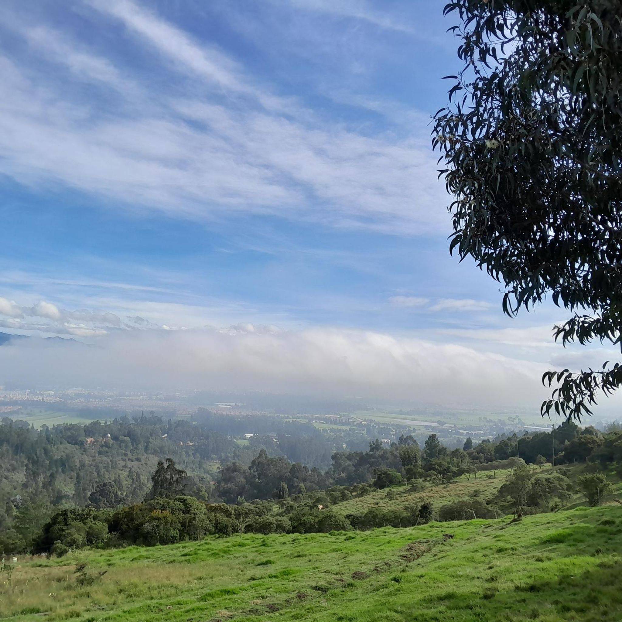
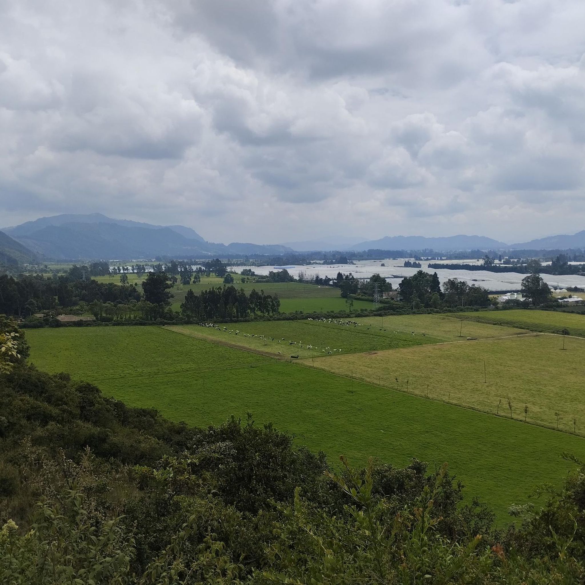
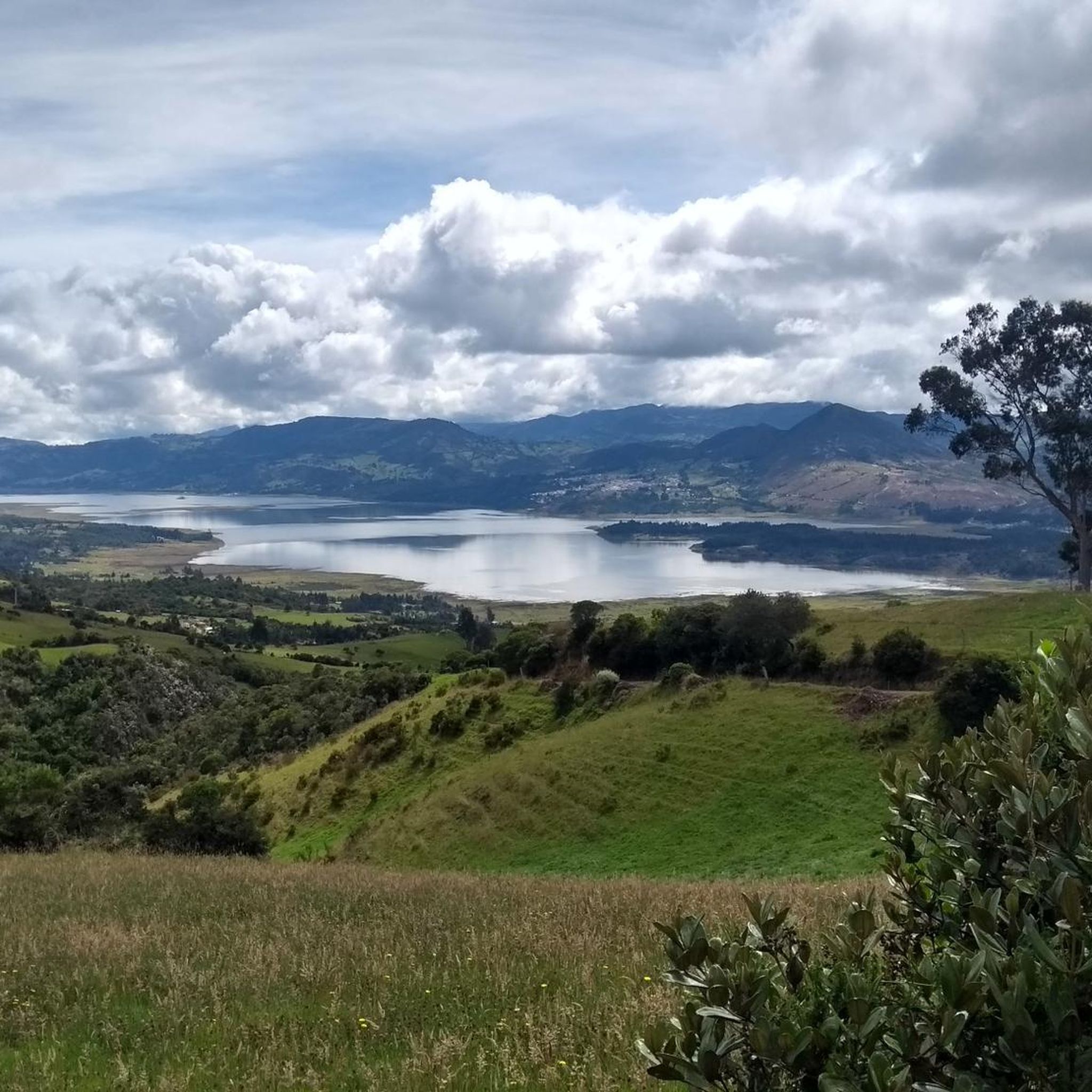
Road cycling in Cajicá offers diverse terrain set amidst the Andean mountains and savanna views of Colombia's Central Savanna Province. The region features varied elevation, including significant climbs and rolling landscapes, providing a challenging yet rewarding experience for cyclists. Cajicá's location at 8,392 feet (2,558 meters) above sea level contributes to its distinct cycling environment. The area is characterized by lush landscapes and a network of routes connecting to neighboring towns.
Best road cycling routes in Cajicá
- The most popular…
Last updated: July 1, 2026
4.8
(18)
1,239
riders
Moderate road ride. Good fitness required. Some segments of this route may be unpaved and difficult to ride.
5.0
(2)
558
riders
Moderate road ride. Good fitness required. Some segments of this route may be unpaved and difficult to ride.

Sign up for free
4.7
(7)
336
riders
28.9km
01:17
100m
100m
Easy road ride. Great for any fitness level. Mostly well-paved surfaces and easy to ride.
4.4
(7)
211
riders
Easy road ride. Great for any fitness level. Mostly well-paved surfaces and easy to ride.
5.0
(1)
145
riders
59.6km
03:49
1,180m
1,180m
Hard road ride. Very good fitness required. Some segments of this route may be unpaved and difficult to ride.
Get access to more routes and recommendations from other explorers.
Sign up for free
Already have an account?
Our route recommendations are based on thousands of hikes, rides, and runs completed by other people on komoot.
Start today with a free account
Your next adventure awaits.
Login or Signup
Tips from the Community


The best town in Cundinamarca
0
0

Excellent place, a bike ride through the Zipaquira salt cathedral... if you go from Bogotá you should leave with time... from Usme cycling between 25 to 28 km/h with 2 stops, it took us 3 hours and 20 minutes...
0
0


BEAUTIFUL LANDSCAPES AND GOOD TRAINING
1
1

There are plenty of dining options on the square.
0
0

Old train station where there is a big train station especially on weekends when the tourist pays his respects.
0
0
Frequently Asked Questions
What kind of terrain can I expect on road cycling routes in Cajicá?
Cajicá offers diverse terrain, from rolling savanna views to significant climbs within the Andean mountains. Cyclists can expect varied elevation, making it ideal for those seeking a challenging workout with rewarding panoramic views. The region's topography includes both paved surfaces and some unpaved segments on longer, harder rides.
How many road cycling routes are available in Cajicá?
There are 19 road cycling routes available in Cajicá, catering to various skill levels. This includes 4 easy routes, 10 moderate routes, and 5 difficult routes, ensuring options for every cyclist.
Are there any notable climbs for road cyclists in Cajicá?
Yes, Cajicá is known for several challenging climbs. Popular options include Alto de Canicas, which can be approached from Subachoque or Tabio, and the Yerbabuena Climb, known for its short but difficult sections. Another mid-mountain climb suitable for training is Alto del Águila – Páramo Guerrero, and the scenic Patiguapos Climb (San Jorge) connects Zipaquirá to San Jorge.
What is a good moderate road cycling route for a longer ride in Cajicá?
For a moderate, longer ride, consider the View of Neusa Reservoir – Alto de las Margaritas loop from Estación de Tren de Cajicá. This 98.5 km (61.2 miles) route offers scenic views of the Neusa Reservoir and includes notable climbs, typically taking around 4 hours and 30 minutes to complete.
Are there any easy road cycling routes suitable for beginners in Cajicá?
Yes, for an easier ride, the Briceño – Arepas de Origen Yajá loop from Estación de Tren de Cajicá is a great option. This 29.5 km (18.3 miles) trail leads through the local countryside with minimal elevation gain and can be completed in about 1 hour and 19 minutes. Another easy route is the El Capo Café – La Puerta Falsa loop from Estación de Tren de Cajicá, covering 29.8 km (18.5 miles).
What is the best time of year to go road cycling in Cajicá?
Cajicá, located at an altitude of 2,558 meters (8,392 ft), has an average temperature of 14°C (57°F). The lush landscapes are particularly enjoyable in spring. While cycling is possible year-round, it's advisable to be prepared for cooler temperatures, especially on descents from higher elevations.
What do other road cyclists say about the routes in Cajicá?
The road cycling routes in Cajicá are highly rated by the komoot community, with an average score of 4.3 stars from over 100 reviews. Cyclists often praise the varied terrain, the challenging climbs, and the beautiful Andean mountain and savanna views that define the region's cycling experience.
Are there any services for cyclists in Cajicá?
Yes, Cajicá supports its cycling community with services such as bike shops, including Bike House Cajicá, which offer equipment and maintenance. Many routes also feature spots along the way where cyclists can find water and snacks.
Can I find cafes or restaurants near the road cycling routes in Cajicá?
Yes, many routes in and around Cajicá pass by or are close to towns that offer cafes and restaurants. For example, the Alto del Águila – Petroleras Gas Station Café loop from Estación de Tren de Cajicá suggests a route that includes a cafe stop. The presence of local towns like Chía, Tabio, and Zipaquirá connected by these routes means amenities are generally accessible.
What are some natural features or landmarks I might see while cycling in Cajicá?
Road cycling in Cajicá offers stunning views of the Andean mountains and the surrounding savanna. You'll encounter challenging topography and lush landscapes. While not directly on all cycling routes, the nearby Parque Natural Chicaque offers cloud forests and diverse flora, and the Piedras de Tunjaquira archaeological site provides a blend of nature and history for exploration.
How can I get to the road cycling trails in Cajicá?
Cajicá is conveniently located just 39 kilometers north of Bogotá, making it accessible for cyclists traveling from the capital. Many routes, including the popular Sopó Main Square and Church – Salitre–Guasquita Climb loop from Estación de Tren de Cajicá, start from the Estación de Tren de Cajicá, which can serve as a central point for accessing the trails.
Most popular attractions in Cajicá

Get inspired with the komoot mobile app


Explore more
Browse the best Road cycling routes in other regions.
