The best running trails in Bogotá D.C.
4.9
(24)
1,859
runners
42
runs
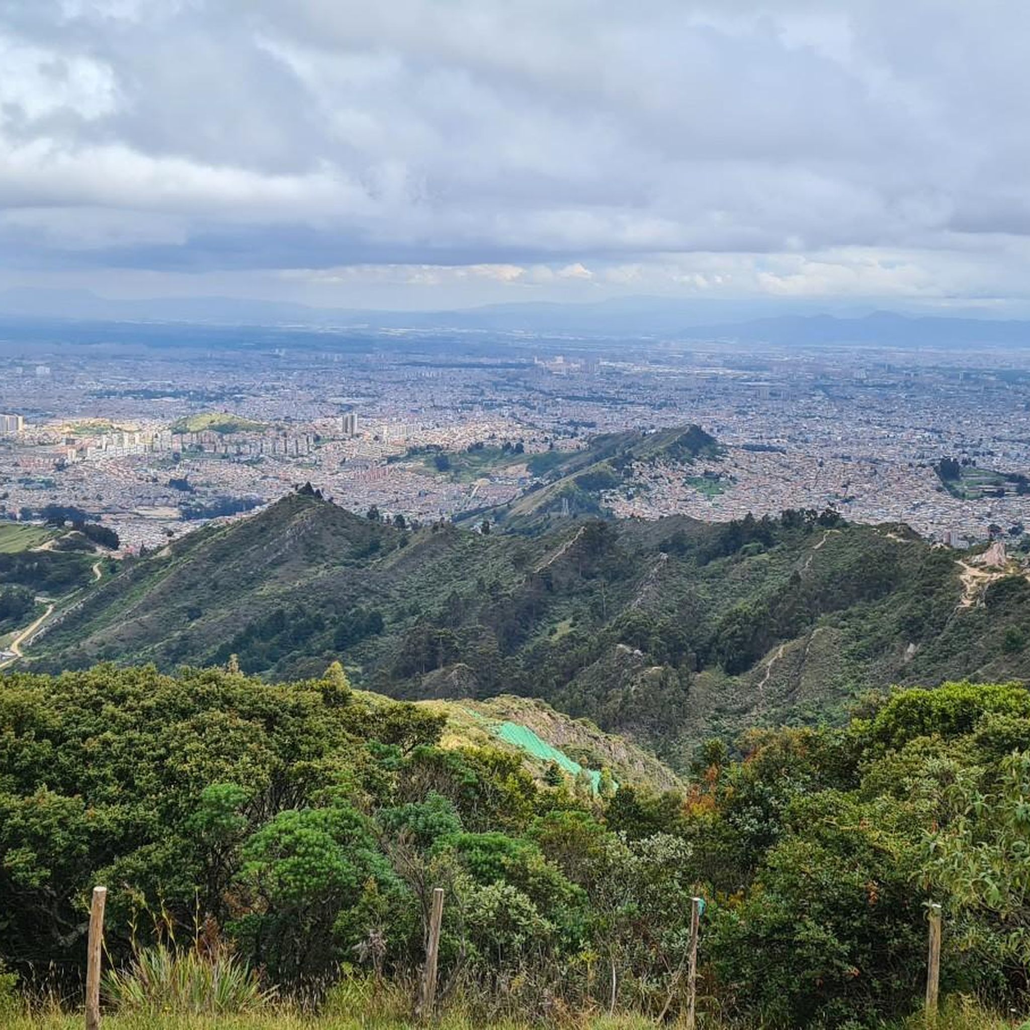
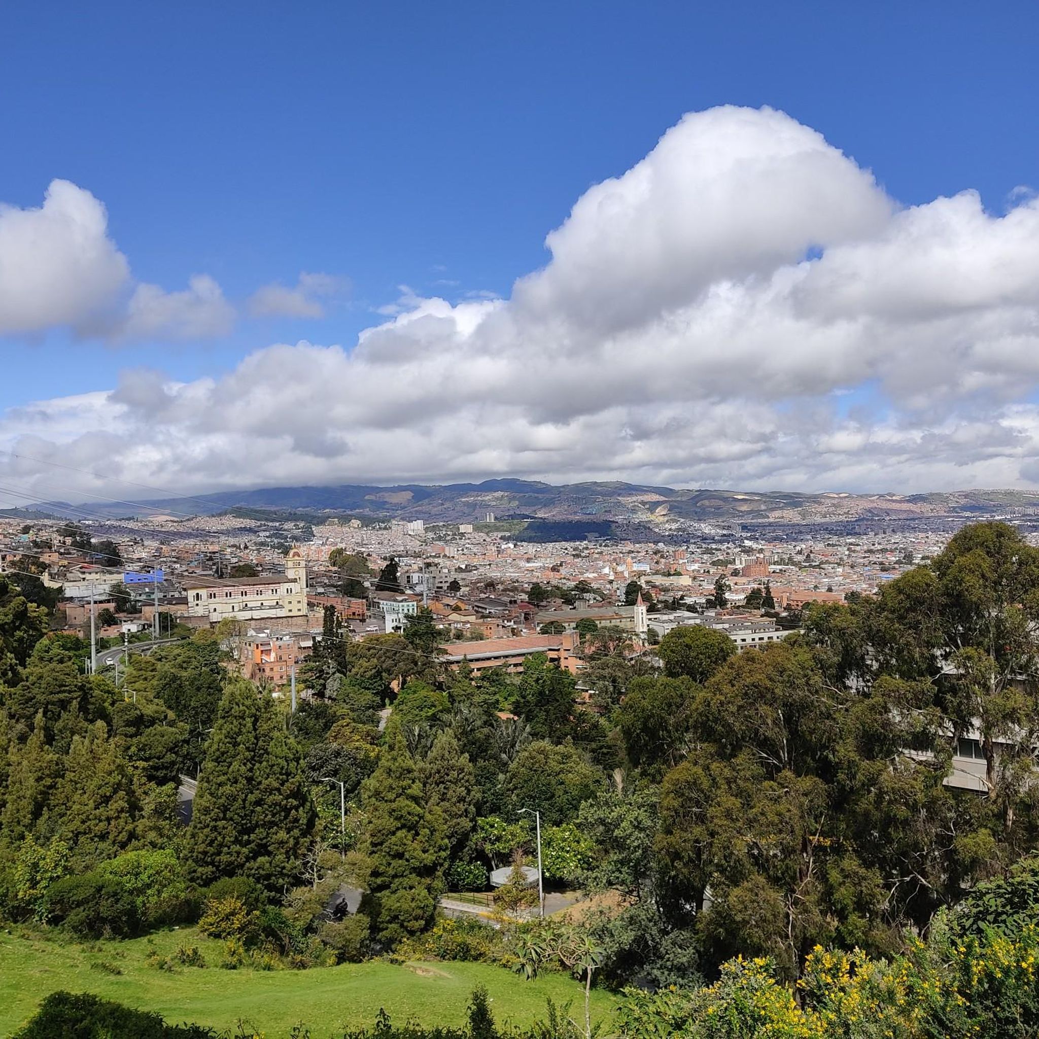
Jogging in Bogotá D.C. offers a unique experience due to its high-altitude Andean setting, averaging 8,660 feet (2,640 meters) above sea level. The region features a diverse landscape, including expansive urban parks, green spaces, and the foothills of the Eastern Hills. Runners can find routes that traverse cloud forests and provide panoramic city views. This elevation presents a significant factor for outdoor enthusiasts, requiring consideration for acclimatization.
Best jogging routes in Bogotá D.C.
- The most popular jogging route is Patios…
Last updated: June 29, 2026
4.8
(9)
285
runners
20.0km
02:14
480m
480m
Hard run. Very good fitness required. Mostly paved surfaces. Suitable for all skill levels.
164
runners
Hard run. Very good fitness required. Mostly paved surfaces. Suitable for all skill levels.

Sign up for free
140
runners
10.1km
01:04
100m
100m
Moderate run. Good fitness required. Mostly paved surfaces. Suitable for all skill levels.
5.0
(2)
158
runners
10.8km
01:08
120m
120m
Moderate run. Good fitness required. Mostly paved surfaces. Suitable for all skill levels.
5.0
(2)
120
runners
30.7km
03:10
120m
120m
Hard run. Very good fitness required. Mostly paved surfaces. Suitable for all skill levels.
Get access to more routes and recommendations from other explorers.
Sign up for free
Already have an account?
Our route recommendations are based on thousands of hikes, rides, and runs completed by other people on komoot.
Start today with a free account
Your next adventure awaits.
Login or Signup




Tips from the Community

The Torre Colpatria is one of Colombia's best-known skyscrapers and features a popular observation deck (Mirador) on the 48th floor. The Mirador is usually open to the public only on weekends and holidays: Fridays: 5:00 PM – 9:00 PM Saturdays: 12:00 PM – 9:00 PM Sundays & Holidays: 11:00 AM – 6:00 PM
0
0

Alto de los Patios offers countless dining options to enjoy Bogotá's sporting atmosphere. The area is usually very busy.
1
0

It is a road with a lot of vehicular flow, be careful!!! up there many places to have breakfast
1
0

Excellent climbing, recommended for Saturdays first thing in the morning.
0
0

Preferred by all, the exit route to La Calera and other areas, it can be done in different ways every day (hitts, fixed speed, strength, fixed cadence, in a group, on wheels, talking...
1
0

A calm atmosphere and excellent quality products
1
0
Famous training port, it can be done at any time of the day (since 4:30 there are cyclists), with all the security measures (on the right, helmet, lights, reflective clothing if it is at night or early in the morning).
0
0

excellent hard route but good thank goodness 🙏🚵♂️
1
0
Frequently Asked Questions
What kind of terrain can I expect on running routes in Bogotá D.C.?
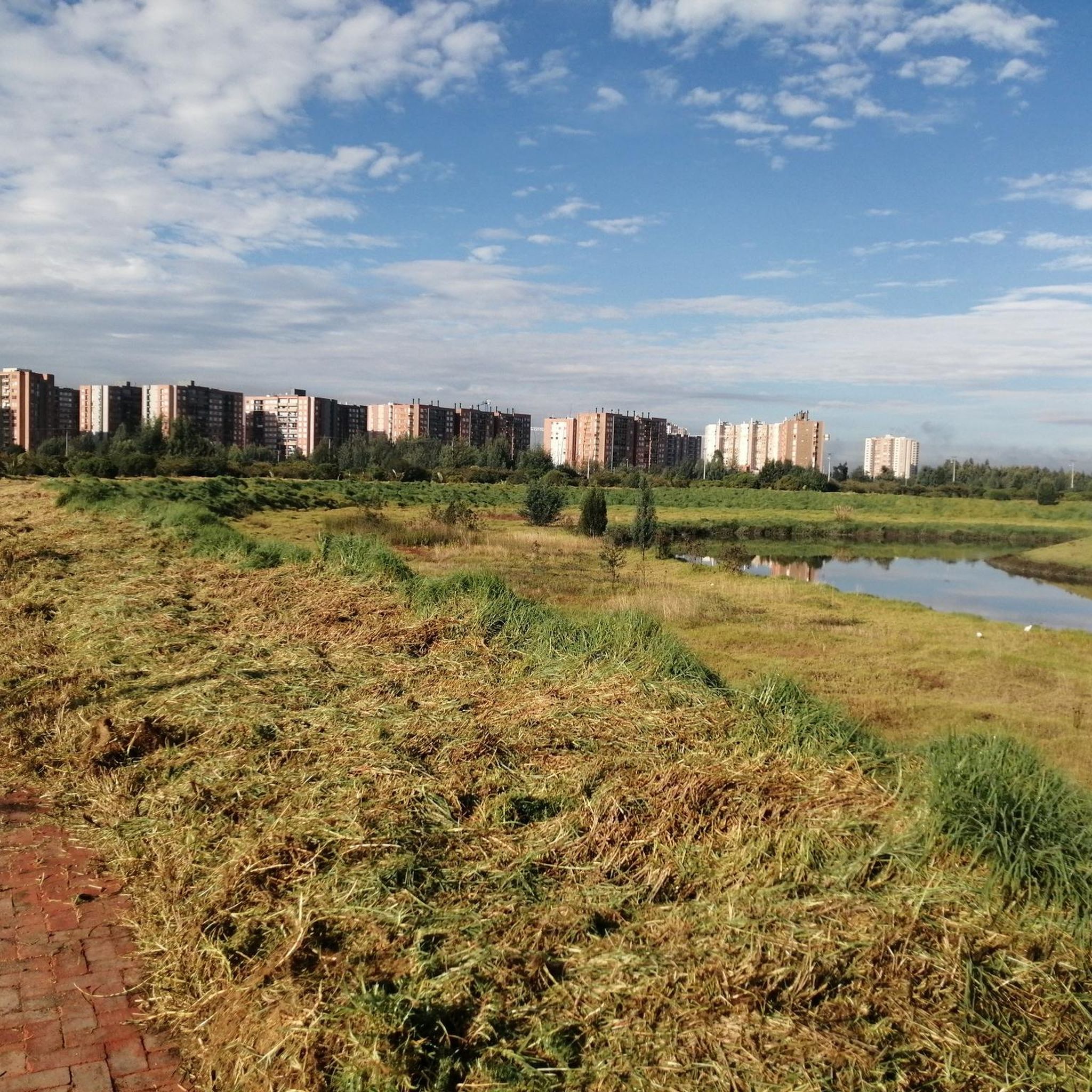
Jogging in Bogotá D.C. offers a diverse range of terrains. You'll find routes traversing high-altitude plateaus, the foothills of the Eastern Hills, and extensive urban parks. Within the city, parks like Parque Simón Bolívar feature networks of trails, including paved sections and some hilly dirt paths. Trails like Quebrada La Vieja and La Aguadora in the foothills take you through cloud forests, offering a more natural, varied surface.
How does the high altitude of Bogotá D.C. affect running?
Bogotá D.C. is situated at an average of 2,640 meters (8,660 ft) above sea level, making it one of the highest capital cities. This means thinner air and less oxygen, which can be challenging. It's important to maintain a balanced pace and ensure adequate hydration, especially if you're not accustomed to the altitude, to avoid being easily drained.
Are there running routes suitable for different fitness levels in Bogotá D.C.?
Yes, Bogotá D.C. offers a wide range of running routes catering to various ability levels. The komoot community has identified options for easy, moderate, and difficult routes. For instance, you can find challenging trails with significant elevation gain in the mountainous terrain, or opt for more urban, flatter paths within the city's parks.
What natural features or landmarks can I see while jogging in Bogotá D.C.?
Many running routes in Bogotá D.C. offer scenic views and pass by notable landmarks. You can explore trails that lead through cloud forests and provide panoramic city views. Iconic landmarks like Monserrate Hill offer rewarding trails with breathtaking vistas. For those interested in water features, areas outside the city like Chicaque Natural Park and the trails leading to La Chorrera and Chiflon Waterfalls provide stunning natural scenery. You might also encounter beautiful lakes such as Chisacá Lagoon or La Regadera Reservoir.
Are there any circular running routes in Bogotá D.C.?
Yes, many routes in Bogotá D.C. are designed as loops, offering a convenient way to start and finish your run at the same point. An example is the National Park loop from 2. Fernando Barón S.J., which is a moderate 5.9-mile (9.5 km) trail through urban green spaces.
What is the best time of year to go running in Bogotá D.C.?
Bogotá D.C. generally enjoys a cool and often overcast climate throughout the year, with average temperatures around 13-14°C. This makes it pleasant for physical activity year-round. However, it's always wise to check the local weather forecast before heading out.
Can I find family-friendly jogging routes in Bogotá D.C.?
While specific 'family-friendly' routes are not explicitly detailed, many of Bogotá's extensive urban parks, such as Parque Simón Bolívar, Parque Virrey, and Parque de los Novios, offer relatively flat and well-maintained paths that are suitable for families looking for an easier run or walk together.
Are there dog-friendly running trails in Bogotá D.C.?
Many of Bogotá's urban parks are generally dog-friendly, allowing leashed pets. However, it's always recommended to check specific park regulations before bringing your dog. For more natural settings, trails in the foothills might also be suitable, but ensure your dog is well-behaved and on a leash.
How can I access running routes in Bogotá D.C. using public transport?
Bogotá has a public transport system that can get you close to many popular running areas. For example, routes starting near the city center or major parks are often accessible via buses or the TransMilenio system. The Colpatria Tower – Centro Comercial Calle 72 loop from Estación 14 - Carrera 50 is an urban route that starts near a public transport station, making it convenient for runners relying on public transit.
Where can I find parking for jogging trails in Bogotá D.C.?
For urban parks like Parque Simón Bolívar, there are often designated parking areas available. For trails in the foothills or outside the city, parking availability can vary. It's advisable to research specific trailheads or park entrances beforehand to confirm parking options. Many urban routes, such as the 5x5 – Centro Comercial Calle 72 loop from E1 - Calle 72 con Carrera 11, are in areas with street parking or nearby commercial parking facilities.
What do other runners enjoy most about jogging in Bogotá D.C.?
The running routes in Bogotá D.C. are highly rated by the komoot community, with an average score of 4.9 stars from over 19 reviews. Runners often praise the diverse landscapes, from urban green spaces to challenging mountain foothills, and the unique experience of running at high altitude. The extensive network of routes caters to various preferences, ensuring there's something for everyone.
Are there any long-distance running trails in Bogotá D.C.?
Yes, Bogotá D.C. offers several options for longer runs. For instance, the Colpatria Tower – Centro Comercial Calle 72 loop from Estación 14 - Carrera 50 is a difficult 15.6-mile (25.1 km) path, providing a substantial urban and suburban running experience. Another challenging option is the Colpatria Tower – National Park loop from Calle 63, which spans over 30 kilometers.
Most popular attractions in Bogotá D.C.

Get inspired with the komoot mobile app


