The best cycling routes in Bogotá D.C.
4.8
(1411)
16,417
riders
138
rides
Touring cycling in Bogotá D.C. is characterized by its high-altitude Andean setting, offering a diverse range of routes from urban paths to challenging mountain ascents. The region features an extensive network of dedicated bike paths, known as Ciclorrutas, which integrate with the city's topography. Cyclists can experience significant elevation gains in the surrounding Andes Mountains and explore unique páramo ecosystems. Natural parks and green spaces within and near the city provide varied terrain for outdoor activities.
Best touring cycling routes in Bogotá D.C.
- The most popular touring cycling route is Alto de Patios – Patios Summit loop from Estación Usaquén, a 54.1 miles (87.1 km) trail that takes 5 hours 28 minutes to complete. This difficult route features significant elevation gain as it ascends the well-known Patios Summit.
- Another top favourite among local touring cyclists is Patios Summit – Alto de Patios loop from Estación 8, a difficult 46.6 miles (75.0 km) path. This route offers challenging climbs and panoramic views typical of the Andean landscape.
- Local touring cyclists also love the Patios Summit – Alto de Patios loop from Estación 15, a 17.4 miles (28.0 km) trail leading through the mountainous terrain around the Patios Summit, often completed in about 2 hours 2 minutes.
- Touring cycling in Bogotá D.C. is defined by high-altitude Andean climbs, extensive urban Ciclorrutas, and access to unique páramo landscapes. The network offers options for various ability levels, from urban exploration to demanding mountain routes.
- The routes in Bogotá D.C. are highly rated by the komoot community with an average score of 4.8 stars from over 1000 reviews. More than 13000 touring cyclists have used komoot to explore Bogotá D.C.'s varied terrain.
Last updated: June 28, 2026
4.8
(43)
927
riders
87.5km
05:30
840m
840m
Hard bike ride. Very good fitness required. Mostly paved surfaces. Suitable for all skill levels.
4.8
(30)
895
riders
74.1km
05:07
1,180m
1,180m
Hard bike ride. Very good fitness required. Mostly paved surfaces. Suitable for all skill levels.

Sign up for free
4.7
(31)
805
riders
23.4km
01:43
490m
490m
Hard bike ride. Very good fitness required. Mostly paved surfaces. Suitable for all skill levels.
4.7
(40)
830
riders
21.0km
01:36
510m
510m
Hard bike ride. Very good fitness required. Mostly paved surfaces. Suitable for all skill levels.
4.8
(30)
576
riders
45.0km
03:29
1,070m
1,070m
Hard bike ride. Very good fitness required. Mostly paved surfaces. Suitable for all skill levels.
Get access to more routes and recommendations from other explorers.
Sign up for free
Already have an account?
Our route recommendations are based on thousands of hikes, rides, and runs completed by other people on komoot.
Start today with a free account
Your next adventure awaits.
Login or Signup




Tips from the Community

The work titled "Colmena Urbana" (Urban Beehive) features larger-than-life bees and native flora, seemingly emerging from a broken house wall. The mural is a well-known highlight of Bogotá's vibrant street art scene. It is located in the city center, often seen in conjunction with popular cycling routes like the Ciclovía de Bogotá, where many main streets are closed to cars on Sundays. The artwork explores nature amidst the urban environment, depicting bees navigating among colorful flowers like hibiscus.
0
0

At this point along the bike path there are a series of colorful murals that are worth stopping to look at.
0
0
Alto de los Patios offers countless dining options to enjoy Bogotá's sporting atmosphere. The area is usually very busy.
1
0


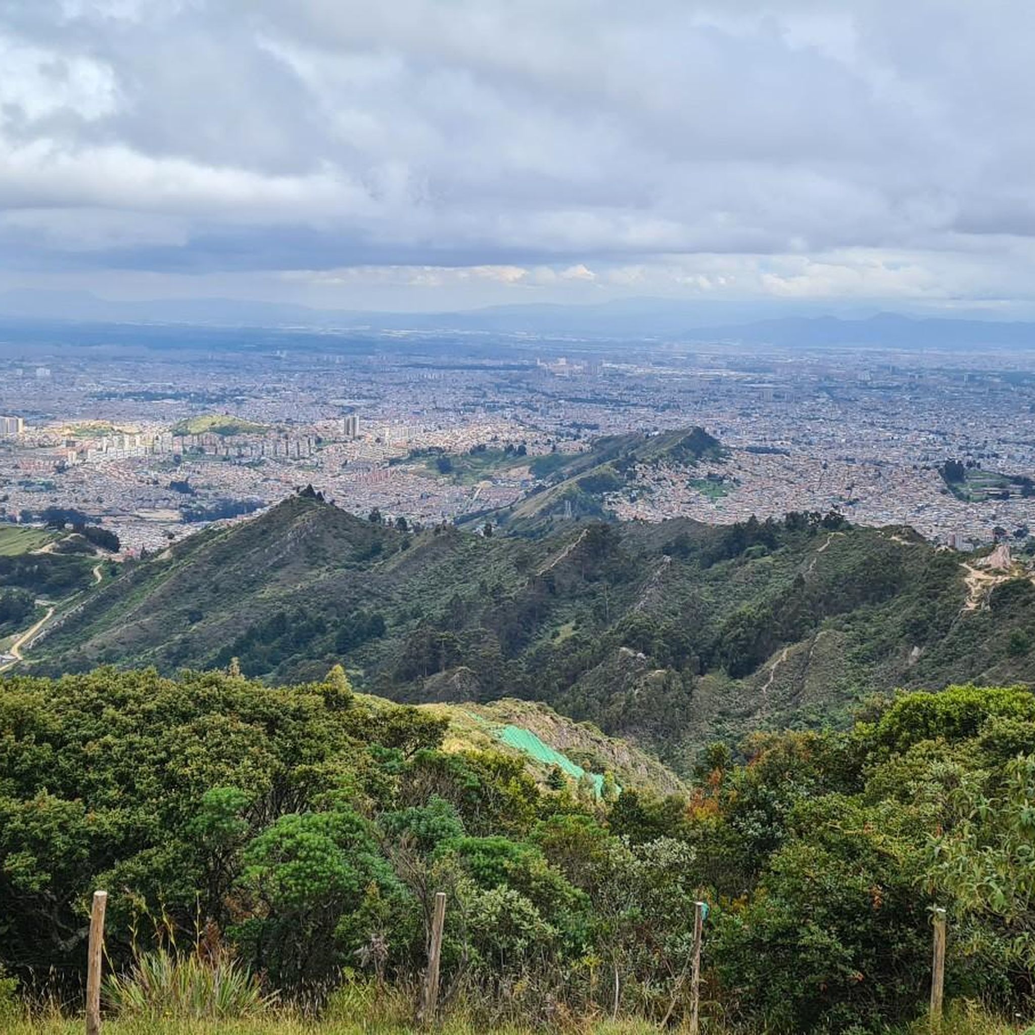
Great view, a very pretty place, the road is small with car traffic and the climb is demanding
0
0


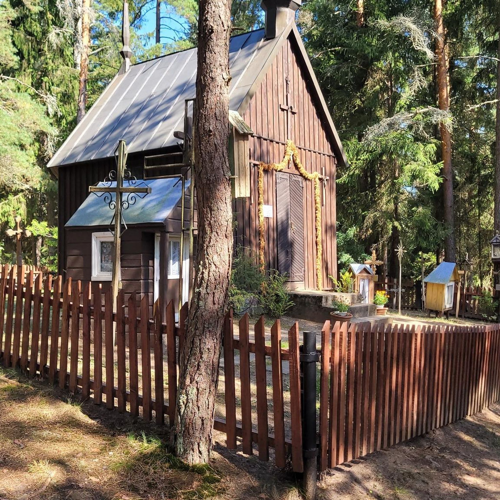
A natural reserve in the eastern hills of Bogotá, it is used as a creative and biodiverse space for arts and nature.
0
0
Frequently Asked Questions
How many touring cycling routes are available in Bogotá D.C.?
Bogotá D.C. offers a wide variety of touring cycling routes, with over 140 options available. These routes cater to different skill levels, including approximately 50 easy routes, 29 moderate routes, and 67 difficult routes, ensuring there's something for every touring cyclist.
Are there easy touring cycling routes suitable for beginners in Bogotá D.C.?
Yes, Bogotá D.C. has around 50 easy touring cycling routes perfect for beginners or those looking for a more relaxed ride. These routes often utilize the city's extensive Ciclorrutas network, which provides dedicated bike paths for safer and more accessible cycling.
What are some challenging long-distance touring routes in Bogotá D.C.?
For experienced touring cyclists seeking a challenge, Bogotá D.C. offers numerous difficult routes, often involving significant elevation gains in the Andes Mountains. A notable example is the Alto de Patios – Patios Summit loop from Estación Usaquén, which is 54.1 miles (87.1 km) long and ascends the well-known Patios Summit. Another challenging option is the Patios Summit – Alto de Patios loop from Estación 8, covering 46.6 miles (75.0 km) with panoramic Andean views.
Can I find circular touring cycling routes in Bogotá D.C.?
Yes, many touring cycling routes in Bogotá D.C. are designed as loops, allowing you to start and end at the same point. For instance, the Patios Summit – Alto de Patios loop from Estación 15 is a 17.4-mile (28.0 km) circular trail through mountainous terrain. Additionally, the broader 'Bike Bogota Region' initiative includes a perimeter tour around the capital, connecting rural areas with 15 municipalities.
What unique natural features can I explore on a touring bike in Bogotá D.C.?
Bogotá D.C.'s location in the Andes provides access to diverse natural features. You can experience high-altitude terrain and unique páramo ecosystems, such as those near Chisacá Lagoon, Sumapaz National Natural Park. The region also features beautiful forests and waterfalls, with Monserrate Hill offering stunning city views and natural surroundings.
Are there any multi-day touring cycling options starting from Bogotá D.C.?
Yes, Bogotá D.C. serves as an excellent starting point for longer touring cycling adventures. While specific multi-day routes are not detailed in this guide, the city's strategic location allows for bikepacking trips towards regions like the Coffee Triangle or even international journeys, leveraging the extensive cycling infrastructure and diverse landscapes of Colombia.
What is the Ciclovía tradition in Bogotá D.C. and how does it affect cycling?
The Ciclovía is a defining feature of Bogotá's cycling culture. Every Sunday and on public holidays, over 120 kilometers of major city roads are closed to vehicular traffic and opened exclusively for cyclists, runners, and walkers. This tradition, which began in 1973, draws an estimated 2 million people weekly, creating a vibrant and unique urban cycling experience for locals and visitors alike.
What kind of cycling infrastructure does Bogotá D.C. offer?
Bogotá D.C. boasts one of the most extensive networks of bike paths, known as Ciclorrutas, in the Americas. This comprehensive system spans over 623 kilometers, integrating with the city's public transport and topography. It allows cyclists to navigate from north to south on flatter terrains and east to west with varying inclines, connecting residential areas, work centers, and attractions. More information can be found on Wikipedia.
What are some scenic viewpoints or landmarks I can visit while cycling?
Bogotá D.C. offers several scenic viewpoints and landmarks accessible by bike or nearby. The Patios Summit is a popular cycling destination known for its views. Other notable spots include Monserrate Hill and Cerro de Guadalupe and Christ the Redeemer Statue, both offering panoramic views of the city and surrounding mountains. You can also find beautiful lake views, such as the View of Embalse San Rafael.
How do other touring cyclists rate the routes in Bogotá D.C.?
The touring cycling routes in Bogotá D.C. are highly regarded by the komoot community, with an impressive average rating of 4.8 stars from over 1,000 reviews. More than 13,000 touring cyclists have used komoot to explore the region, often praising the challenging Andean climbs, the extensive Ciclorrutas, and the unique natural landscapes.
What is the best time of year for touring cycling in Bogotá D.C.?
Bogotá D.C. experiences a relatively consistent climate due to its high altitude, with two rainy seasons (roughly April-May and October-November) and two drier seasons (December-March and June-September). The drier periods generally offer more favorable weather conditions for touring cycling, with less rain and more sunshine, making them ideal for exploring the diverse terrain.
Are there touring routes that are suitable for families?
While many routes in Bogotá D.C. involve significant elevation, the extensive Ciclorrutas network provides flatter, safer options within the city that are well-suited for families. These dedicated bike paths allow for enjoyable rides away from vehicular traffic, connecting various urban parks and green spaces like the Botanical Gardens, offering a pleasant family-friendly cycling experience.
How can I access touring cycling routes using public transport or find parking?
Bogotá's cycling infrastructure is designed to integrate with its public transport system, making many routes accessible. For routes within the city, public transport can often get you close to a starting point. For routes outside the city, parking availability varies, but many popular cycling areas have designated parking. It's advisable to research specific route access points and parking options beforehand, especially for routes leading into the more rural or mountainous areas.
Most popular attractions in Bogotá D.C.

Get inspired with the komoot mobile app


