The best road cycling routes around Gündlischwand
4.5
(373)
9,245
riders
50
rides
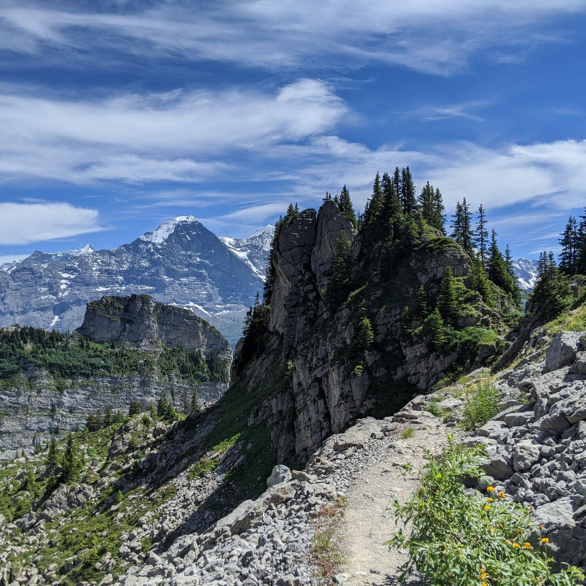
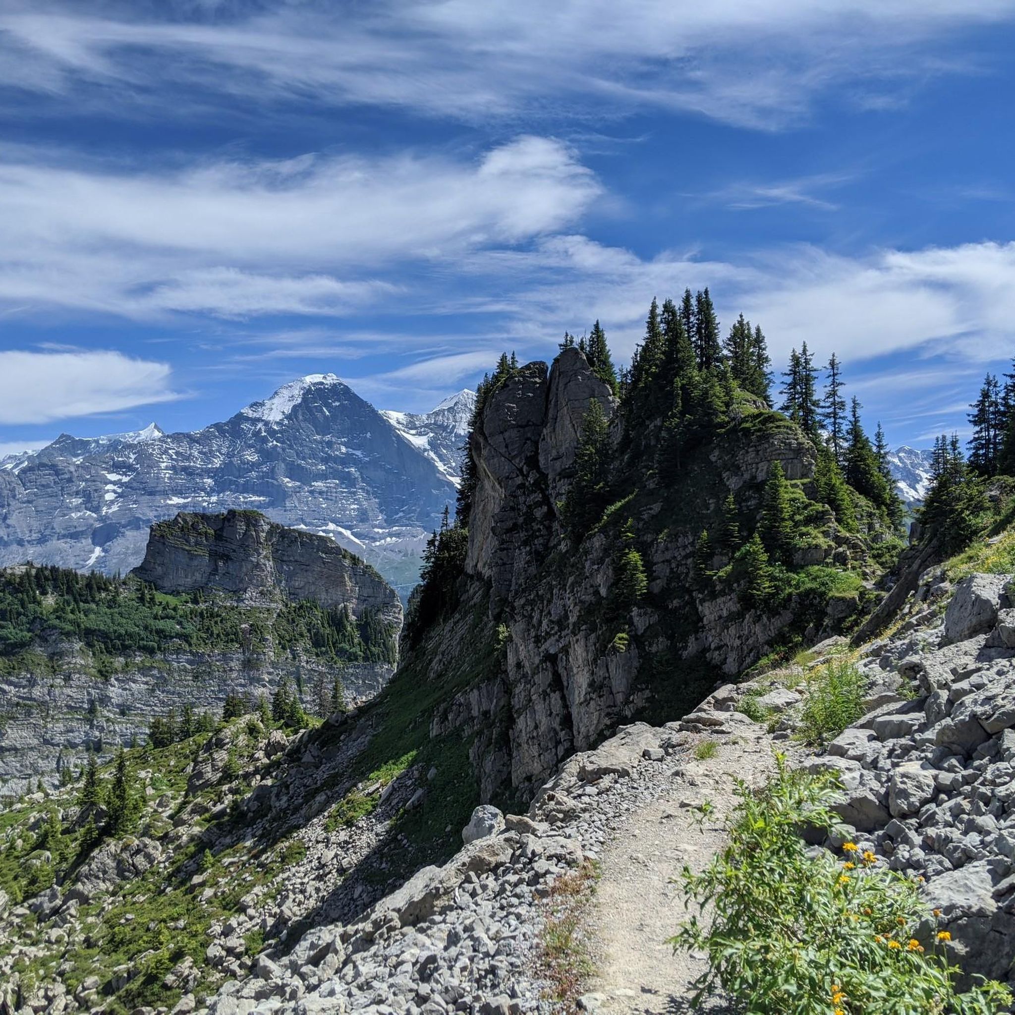
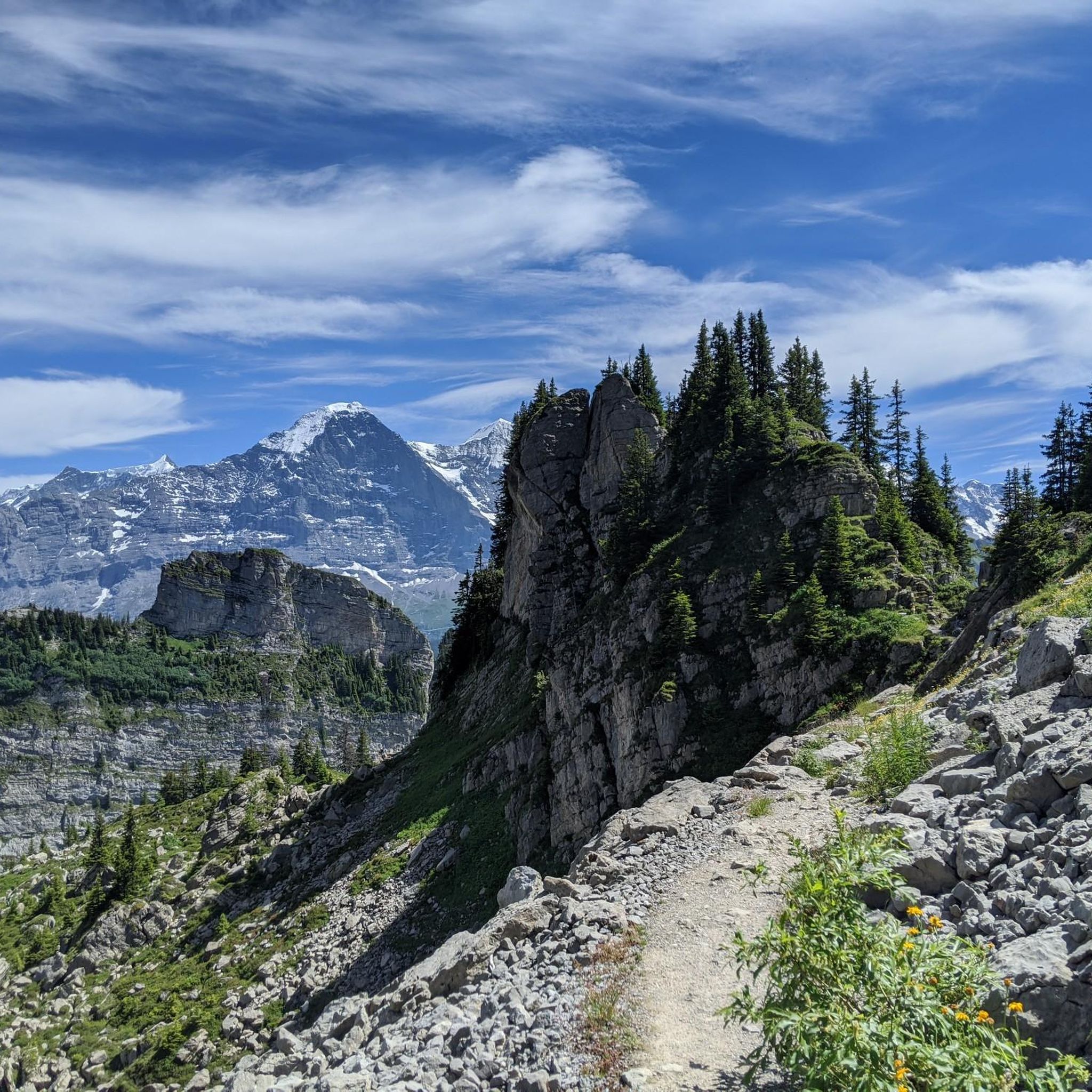
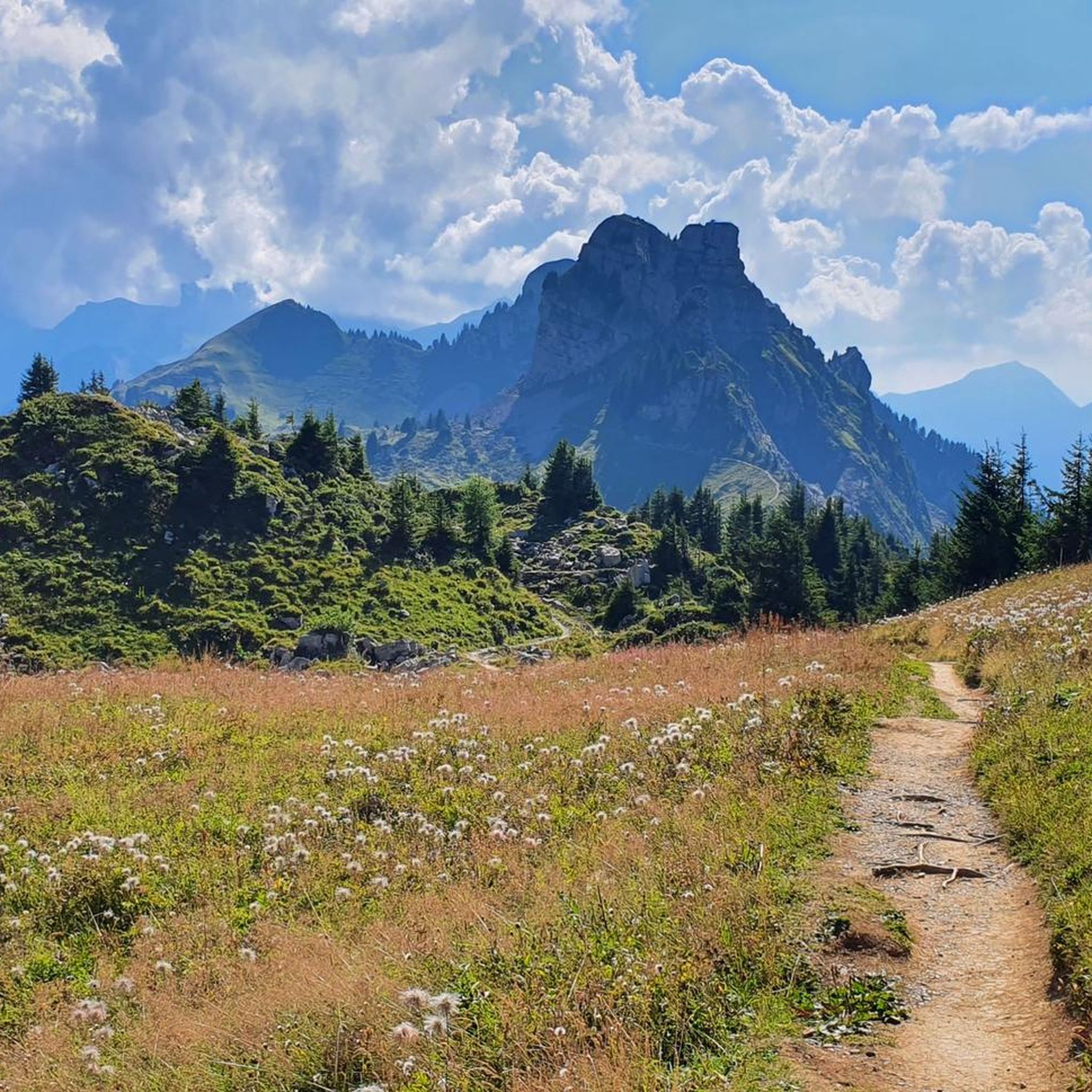
Road cycling routes around Gündlischwand are situated in the Bernese Oberland, characterized by alpine valleys and mountain panoramas featuring peaks like the Eiger, Mönch, and Jungfrau. The region includes extensive forests, agricultural areas, and river systems such as the Black Lütschine, often leading to lakes like Thun and Brienz. The terrain offers varied elevation changes, providing diverse challenges for road cyclists.
Best road cycling routes around Gündlischwand
- The most popular road cycling route is View of Lake Brienz – Lake…
Last updated: July 10, 2026
4.9
(34)
488
riders
67.4km
02:50
360m
360m
Moderate road ride. Good fitness required. Some segments of this route may be unpaved and difficult to ride.
5.0
(2)
78
riders
14.2km
00:47
170m
170m
Moderate road ride. Great for any fitness level. Some segments of this route may be unpaved and difficult to ride.

Sign up for free
5.0
(1)
72
riders
19.4km
00:53
210m
210m
Easy road ride. Great for any fitness level. Mostly well-paved surfaces and easy to ride.
46
riders
20.3km
01:02
290m
290m
Easy road ride. Great for any fitness level. Mostly well-paved surfaces and easy to ride.
5.0
(1)
33
riders
31.8km
02:10
1,040m
1,040m
Hard road ride. Very good fitness required. Mostly well-paved surfaces and easy to ride.
Get access to more routes and recommendations from other explorers.
Sign up for free
Already have an account?
Our route recommendations are based on thousands of hikes, rides, and runs completed by other people on komoot.
Start today with a free account
Your next adventure awaits.
Login or Signup

Tips from the Community

Brienz is one of the most beautiful villages in Switzerland. The surroundings of the lake are a perfect place to feel the beauty of nature. Peace is in the air.
0
0


Very nice people and delicious sausage. Highly recommended cake.
0
0

The small village of Habkern lies seven kilometers from Interlaken in the direction of Lombachalp. Many stately wooden farmhouses stand around the village fountain, which is guarded by a hawk. Especially in spring and summer, when the red geraniums bloom in front of the windows, this creates a unique sight.
1
0

Not so crowded, stunningly beautiful scenery, and Berghotel Obersteinberg, a top destination for hiking and overnight stays! This is Switzerland as it was meant to be.
0
0


a hotspot to see from our camper at the campsite, you can walk there
0
0

Tucked inside the cliffs of the Lauterbrunnen Valley, the Trümmelbach Falls are unlike any other waterfall in Switzerland—or the world. These are Europe’s largest underground waterfalls, and they roar with the meltwater of the Eiger, Mönch, and Jungfrau glaciers.
0
1
Frequently Asked Questions
How many road cycling routes are available around Gündlischwand?
There are over 50 road cycling routes around Gündlischwand, offering a wide range of options for different skill levels. You'll find everything from easy, leisurely rides to challenging climbs.
What is the best time of year for road cycling in Gündlischwand?
The ideal period for road cycling in the Gündlischwand region is generally between mid-April and mid-October. During these months, the weather conditions are most favorable for exploring the alpine landscapes.
What kind of terrain can I expect on road cycling routes around Gündlischwand?
Road cycling routes around Gündlischwand feature diverse terrain, including dramatic alpine valleys, mountain panoramas with views of peaks like the Eiger, Mönch, and Jungfrau, extensive forests, and agricultural areas. Many routes also follow riverbanks or lead to picturesque lakes like Lake Thun and Lake Brienz. Expect varied elevation changes, from gentle paths to significant climbs.
Are there road cycling routes that pass by waterfalls?
Yes, several routes in the region offer views of spectacular waterfalls. For example, the Staubbach Falls – Lauterbrunnen loop from Lauterbrunnen leads directly past the famous Staubbach Falls. Another route, the Lake Brienz – Oltschibachfall loop from Wilderswil, passes by the Oltschibachfall waterfall.
What scenic viewpoints or landmarks can I see while road cycling in Gündlischwand?
The region is rich in natural beauty and landmarks. You can enjoy breathtaking views of iconic peaks like the Eiger, Mönch, and Jungfrau. Routes often offer vistas of Lake Thun and Lake Brienz. Notable highlights in the broader area include the First Cliff Walk near Grindelwald, and challenging mountain passes like Grosse Scheidegg and Kleine Scheidegg.
Are there easy road cycling routes suitable for beginners in Gündlischwand?
Absolutely. Gündlischwand offers 12 easy road cycling routes, perfect for beginners or those seeking a more relaxed ride. These routes typically feature minimal elevation gain and cover shorter distances, allowing you to enjoy the scenery at a comfortable pace.
What options are available for intermediate road cyclists in Gündlischwand?
Intermediate road cyclists will find 19 moderate routes around Gündlischwand. These paths offer a good balance of distance and elevation, providing a satisfying challenge without being overly strenuous. An example is the Staubbach Falls – Lauterbrunnen loop from Lauterbrunnen, which is a moderate 14.2 km trail.
Can I find challenging climbs for road cycling in the Gündlischwand area?
Yes, for experienced road cyclists seeking a challenge, there are 25 difficult routes with significant elevation changes. The region is known for its demanding climbs and mountain passes, such as Grosse Scheidegg, which offers rewarding rides through picturesque valleys and provides a true test of endurance.
Are there any circular road cycling routes in Gündlischwand?
Many of the road cycling routes around Gündlischwand are designed as circular loops, allowing you to start and end at the same point. Examples include the popular View of Lake Brienz – Lake Brienz loop from Lake Brienz and the Lake Brienz – Oltschibachfall loop from Wilderswil.
What do other road cyclists enjoy most about road cycling in Gündlischwand?
The road cycling routes in Gündlischwand are highly rated by the komoot community, with an average score of 4.5 stars from over 370 reviews. Cyclists often praise the stunning alpine valleys, breathtaking mountain panoramas, and the picturesque lake shores. The diverse network of routes catering to all ability levels is also frequently highlighted.
Are there routes that offer views of the lakes?
Yes, many routes provide beautiful views of the region's lakes. The View of Lake Brienz – Lake Brienz loop from Lake Brienz is a popular choice for its lake vistas. Another excellent option is the Bönigen Lakeside Promenade – View of Schloss Seeburg loop from Matten b. Interlaken, which offers scenic lakeside riding.
Most popular routes around Gündlischwand
Most popular attractions around Gündlischwand

Get inspired with the komoot mobile app


Explore more
Browse the best Road cycling routes in other regions.
