The best mountain hikes in Pichincha
4.7
(15)
348
hikers
11
hikes
Mountaineering routes in Pichincha traverse a landscape dominated by the Andes Mountains and towering volcanoes, offering diverse climbing experiences. The province features high-altitude páramo grasslands, cloud forests, and volcanic peaks, with elevations reaching over 5,000 meters. This terrain provides a range of challenges from demanding ascents to non-technical acclimatization routes.
Best mountaineering routes in Pichincha
- The most popular mountaineering route is Illiniza Norte – La Ensillada (Boquerón) loop from La Virgen, 3900m.ü.M, a 6.7 miles (10.7 km) trail that…
Last updated: July 11, 2026
4.3
(4)
85
hikers
10.7km
06:15
1,080m
1,080m
Hard mountaineering route. Very good fitness required. Sure-footedness, sturdy shoes and alpine experience required.
5.0
(6)
64
hikers
7.70km
07:37
1,140m
1,140m
Hard mountaineering route. Very good fitness required. Sure-footedness, sturdy shoes and alpine experience required.

Sign up for free
4.3
(3)
53
hikers
6.73km
04:44
1,200m
1,200m
Hard mountaineering route. Very good fitness required. Mostly accessible paths. Sure-footedness required.
36
hikers
11.3km
05:22
740m
740m
Hard mountaineering route. Very good fitness required. Sure-footedness, sturdy shoes and alpine experience required.
22
hikers
9.06km
03:17
550m
550m
Moderate mountaineering route. Good fitness required. Easily-accessible paths. Suitable for all skill levels.
5.0
(1)
19
hikers
12.3km
04:03
530m
530m
Moderate mountaineering route. Good fitness required. Easily-accessible paths. Suitable for all skill levels.
19
hikers
4.09km
02:07
460m
460m
Hard mountaineering route. Good fitness required. Sure-footedness, sturdy shoes and alpine experience required.
12
hikers
14.5km
05:03
800m
800m
Hard mountaineering route. Very good fitness required. Easily-accessible paths. Suitable for all skill levels.
7
hikers
Moderate mountaineering route. Good fitness required. Easily-accessible paths. Suitable for all skill levels.
8
hikers
9.35km
04:47
710m
710m
Hard mountaineering route. Good fitness required. Sure-footedness, sturdy shoes and alpine experience required.
Our route recommendations are based on thousands of hikes, rides, and runs completed by other people on komoot.
Start today with a free account
Your next adventure awaits.
Login or Signup

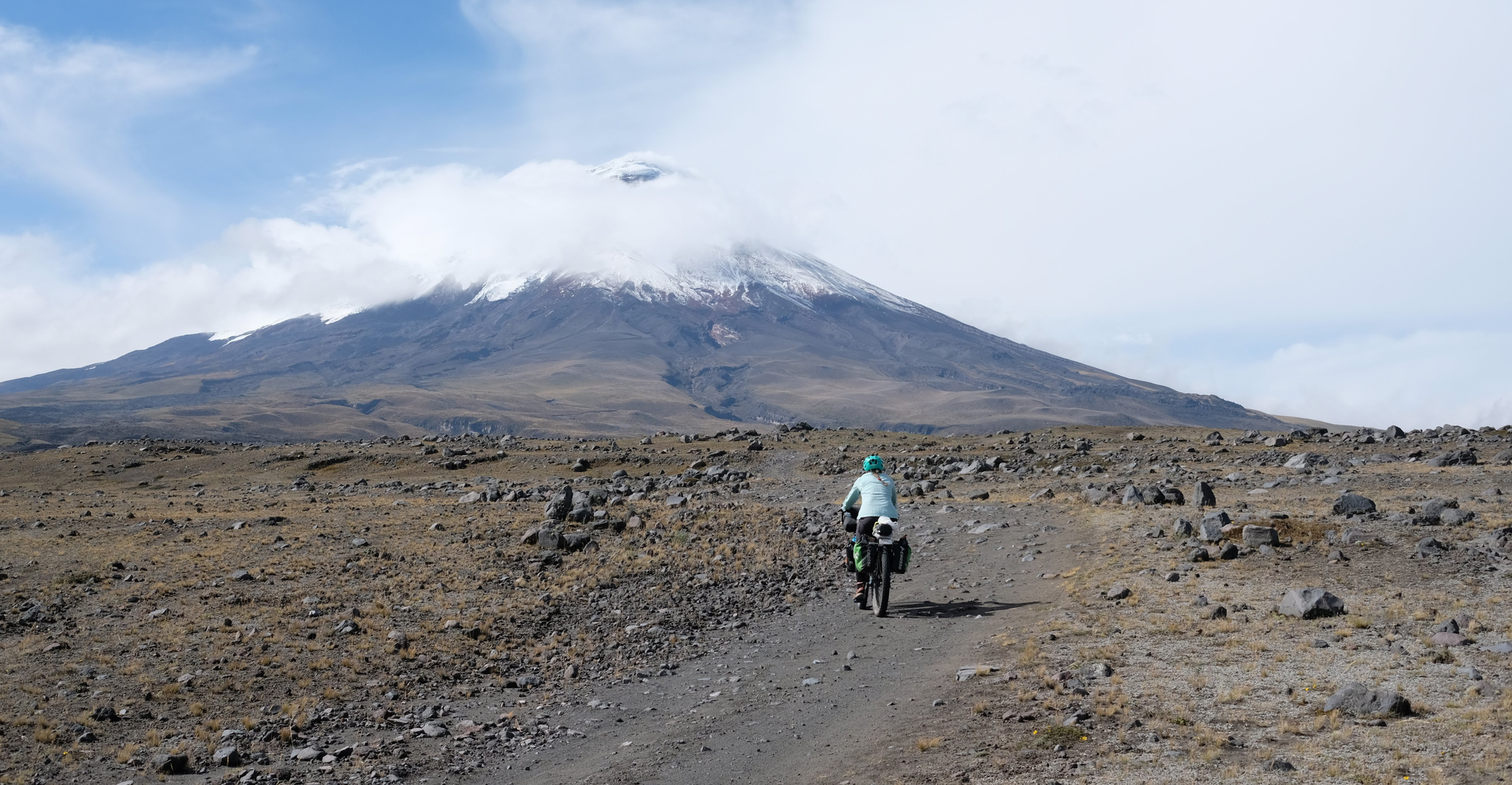
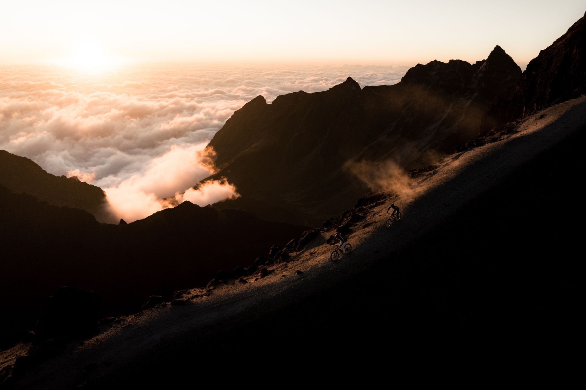
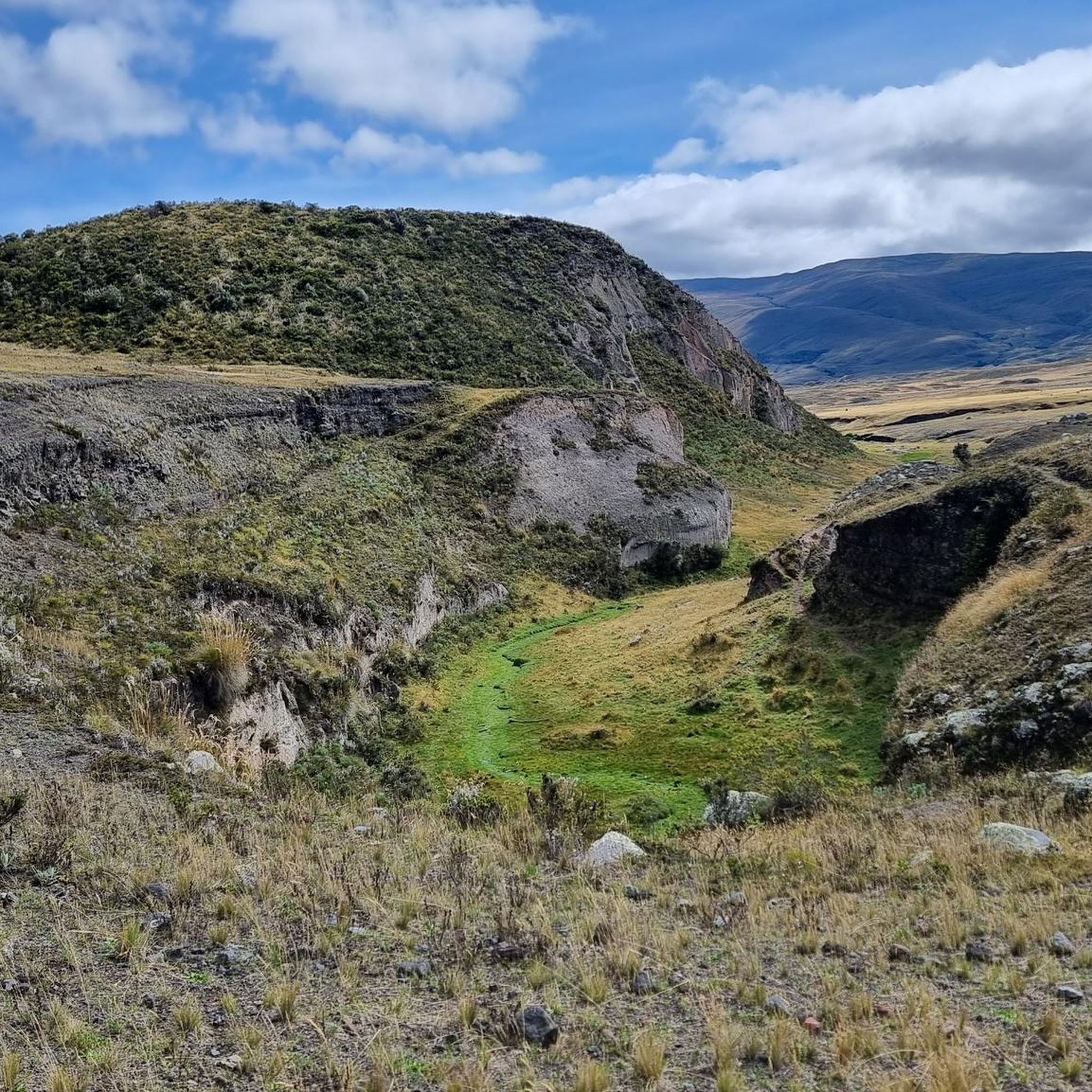


Tips from the Community

It went easier than expected. The air is thin up here but doable.
0
0

This shelter is 4864 steps closer to the moon - for us Europeans - an astonishing height. Cozy inside, it also defies the adverse conditions you'll find outside on your way to the glacier (or the summit). No alcohol is served, there is a highly concentrated cocoa-flavoured sugar solution for refreshment. They like it sweet in the south. No wonder our guide preferred a hearty soup, which is served here as if you were somewhere in the lowlands.
3
1

The Refugio José Rivas is located at 4,864 m altitude. There you can stay overnight by prior reservation or simply strengthen yourself for the hike with coca tea or hot chocolate. There are also some snacks.
1
2

Great mountain to do. Beautiful typical conical volcano peak. Busy and tough!
3
0

Apparently Komoot unfortunately recorded some incorrect data here, which is a shame. Here are the correct dates: We set off from Refugio José Rivas (4864m) at 1 a.m. and arrived at the summit of Cotopaxi (5897m) around 6 a.m. So we walked a little more than 1000 meters in altitude and not 2550. Unfortunately, Komoot probably recognized the GPS position too late, so the trek only begins after the refuge. We also didn't stay near the summit like the map would have us believe. Komoot interrupted the recording here, even though I hadn't touched my cell phone in the freezing temperatures. Otherwise the trek looks very correct. We got down there at 8:30 a.m., but we rushed to get there because the weather wasn't getting any better. You should definitely have very warm clothing, several layers, including for your head and face and ideally ski goggles and definitely very warm gloves, thin thermal gloves and warm and well-insulated mittens. The glacier was very stable under our conditions and covered with a light layer of snow, making it easy to walk on. You need an official guide. For example, you could call the hut and ask for a guide, they probably know almost all of the official guides. There is also an overview of the licensed guides.
4
1

Bring a cloth for the nose. The sulfur smell is really awful in places on the ascent.
1
0

If the weather is nice and the summit has been created, you can still see a few of the volcanoes of the "Avenida" from "halfway up"
1
0
Three things are important: good physical condition, good guide and good weather. 1 -2 is in your own hands.
1
0
Frequently Asked Questions
How many mountaineering routes are available in Pichincha?
Pichincha offers a selection of 11 mountaineering routes, ranging from moderate to difficult, providing diverse experiences across its volcanic landscapes and high-altitude páramo grasslands.
What are some good routes for acclimatization in Pichincha?
For acclimatization, Rucu Pichincha is an excellent choice. While not listed in this guide, it's a popular day hike accessible via the TeleferiQo cable car from Quito, significantly reducing the ascent. Another option for acclimatization, also not in this guide but mentioned in regional research, is Guagua Pichincha, which offers a non-technical hike from Lloa.
Are there any circular mountaineering routes in Pichincha?
Yes, several routes in Pichincha are designed as loops. For example, you can explore the slopes of Cayambe on the Cayambe – Refugio Oleas Ruales loop, or experience the high-altitude volcanic terrain around Cotopaxi with the Cotopaxi – Refugio José Rivas loop. Another option is the Illiniza Norte – La Ensillada (Boquerón) loop, which offers stunning views of the Illiniza peaks.
What kind of terrain and elevation can I expect on these routes?
Mountaineering routes in Pichincha traverse diverse terrain, from high-altitude páramo grasslands to volcanic peaks. You'll encounter significant elevation changes, with routes like the Cotopaxi – Refugio José Rivas loop featuring over 1200 meters of ascent, often requiring ice axe and crampons on more challenging sections.
What do other mountaineers say about the routes in Pichincha?
The mountaineering routes in Pichincha are highly regarded by the komoot community, holding an average rating of 4.7 out of 5 stars from over 10 reviews. More than 300 mountaineers have used komoot to explore the varied and challenging terrain of Pichincha.
What are some notable landmarks or natural features I might see along the routes?
Along your mountaineering adventures, you might encounter several impressive natural features and landmarks. The Iliniza Norte Summit offers superb views, while the Rucu Pichincha Summit provides panoramic vistas of Quito and other volcanoes. You could also see the serene Limpiopungo Lagoon, often with the majestic Cotopaxi volcano in the background.
Are there any moderate difficulty mountaineering routes in Pichincha?
Yes, Pichincha offers 3 routes classified as moderate difficulty. These include the Pasochoa 2 – Pasochoa loop from Hacienda San Francisco de Pasochoa, the El Arrayan – Mirador loop from Parqueadero Laguna Cuicocha, and the Pasochoa 2 – Pasochoa loop from Pasachoa. These provide a less strenuous but still rewarding mountaineering experience.
What is the best time of year for mountaineering in Pichincha?
Pichincha's climate is influenced by its high altitude and proximity to the equator. Generally, the dry season, from June to September, offers clearer skies and more stable weather conditions, making it ideal for mountaineering. However, conditions can change rapidly in the mountains, so always be prepared for varying weather.
Are there any routes suitable for families or those looking for less challenging options?
While most routes in this guide are classified as moderate to difficult mountaineering, the region of Pichincha does offer diverse outdoor activities. For family-friendly options, consider exploring areas like the Mindo-Nambillo Forest Reserve or Pasochoa Forest Reserve, which have trails suitable for a wider range of abilities, though these are not specifically mountaineering routes in this guide.
What kind of gear should I bring for mountaineering in Pichincha?
Given the high altitudes and challenging terrain, essential gear for mountaineering in Pichincha includes appropriate layers for varying temperatures, waterproof and windproof outer shells, sturdy mountaineering boots, a backpack, navigation tools, and sufficient water and food. For routes like the Illiniza Norte – La Ensillada (Boquerón) loop, ice axe and crampons are often required.
Can I reach any of the trailheads using public transport?
While specific public transport details for each trailhead are not provided in this guide, Quito, as the capital of Pichincha, serves as a central hub. From Quito, you can often arrange private transport or find local buses that go to towns near popular mountaineering areas. For Rucu Pichincha, the TeleferiQo cable car provides direct access to higher elevations, making it very accessible from Quito.
Are there any permits required for climbing in Pichincha?
For some of the higher and more protected peaks, such as those within ecological reserves like Cayambe-Coca, permits or entrance fees may be required. It's advisable to check with local authorities or park administrations, such as the Ministry of Environment, Water and Ecological Transition of Ecuador, before planning your ascent. For Rucu Pichincha, while no climbing permit is typically needed, there is a fee for the TeleferiQo cable car.
Most popular routes in Pichincha
Most popular attractions in Pichincha

Get inspired with the komoot mobile app


Didn’t find what you were looking for?
Check out more Mountain Hikes & Routes throughout Pichincha below and find the perfect route in your destination.
Explore more
Browse the best Mountain Hikes & Routes in other regions.
