The best walks and hikes in Risaralda
4.5
(835)
5,190
hikers
42
hikes
Hiking in Risaralda offers diverse terrain across Colombia's Andean Cordillera Occidental and Central. The region features snow-capped peaks, dense tropical rainforests, and verdant valleys, with more protected areas than any other Colombian department. Hikers can explore high-altitude ecosystems, volcanic landscapes, cloud forests, and extensive coffee plantations. This varied topography provides a range of experiences, from lush valley walks to challenging mountain ascents.
Best hiking trails in Risaralda
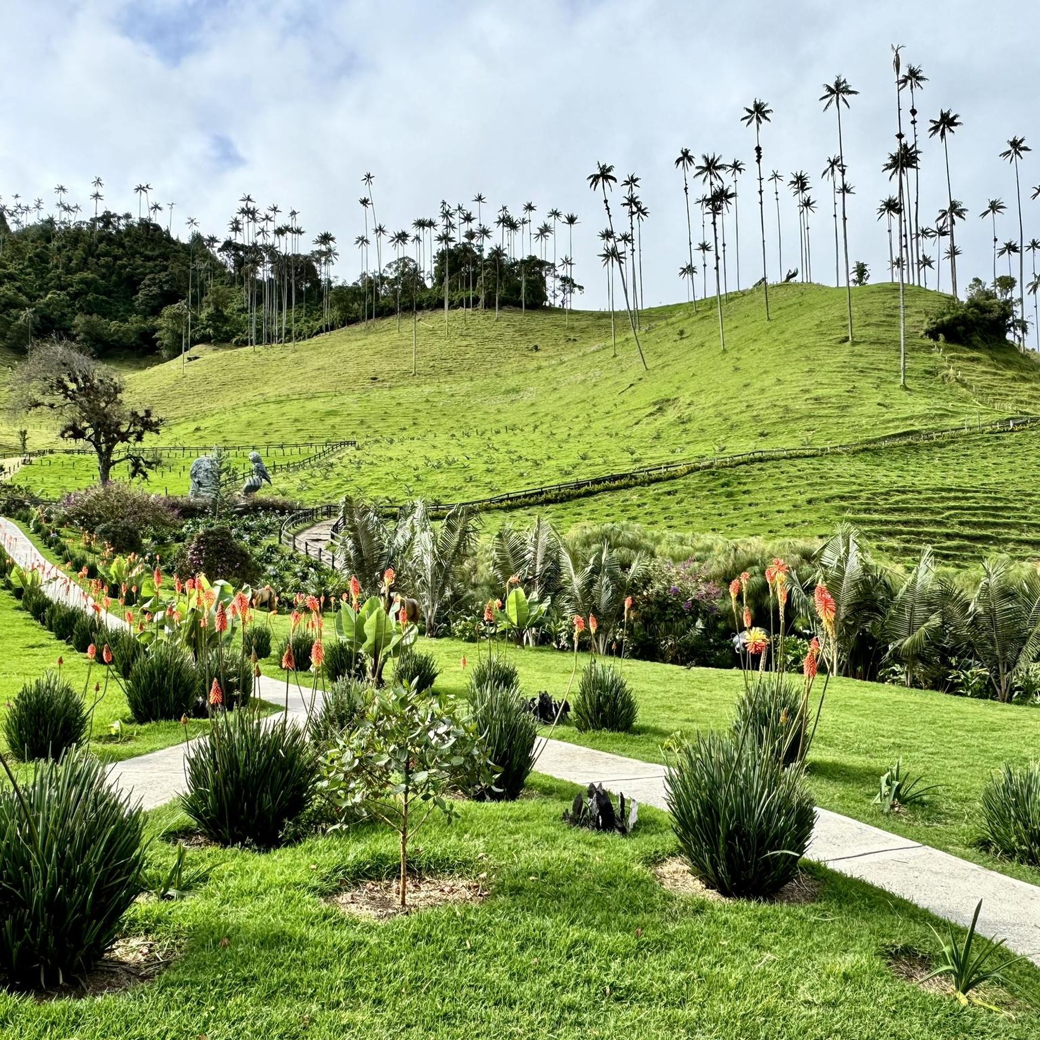
- The most popular hiking route is Cocora Valley Loop Trail, a 5.6 miles (9.0 km) trail that takes 3 hours 33 minutes to complete. This moderate route showcases the region's iconic wax palm trees and offers panoramic Andean views.
- Another top favourite among local hikers is Ida y vuelta al cerro Morrogacho, a difficult 7.0 miles (11.2 km) path. This trail involves a significant ascent, leading to expansive mountain vistas.
- Local hikers also love the Cocora Valley to Finca La Argentina Trail, a 11.2 miles (18.1 km) trail leading through varied landscapes including wax palm forests, often completed in about 8 hours 20 minutes.
- Hiking in Risaralda is defined by majestic wax palm forests, high-altitude *páramos*, and lush coffee plantations. The network offers options for different ability levels, from easy valley strolls to difficult multi-hour mountain climbs.
- The routes in Risaralda are highly rated by the komoot community with an average score of 4.5 stars from over 800 reviews. More than 5000 hikers have used komoot to explore Risaralda's varied terrain.
Last updated: July 1, 2026
4.8
(424)
2,337
hikers
9.03km
03:33
530m
530m
Moderate hike. Good fitness required. Mostly accessible paths. Sure-footedness required.
4.7
(41)
264
hikers
11.2km
05:08
1,080m
1,080m
Hard hike. Very good fitness required. Mostly accessible paths. Sure-footedness required.

Sign up for free
4.8
(19)
277
hikers
18.1km
08:21
1,150m
1,150m
Hard hike. Very good fitness required. Mostly accessible paths. Sure-footedness required.
4.5
(18)
217
hikers
5.31km
01:45
240m
240m
Easy hike. Great for any fitness level. Easily-accessible paths. Suitable for all skill levels.
4.7
(22)
98
hikers
9.47km
03:34
580m
580m
Moderate hike. Good fitness required. Mostly accessible paths. Sure-footedness required.
4.4
(14)
76
hikers
11.3km
04:44
770m
770m
Moderate hike. Good fitness required. Mostly accessible paths. Sure-footedness required.
4.5
(8)
52
hikers
6.22km
02:34
300m
300m
Moderate hike. Good fitness required. Mostly accessible paths. Sure-footedness required.
4.7
(3)
49
hikers
5.34km
01:56
240m
240m
Moderate hike. Great for any fitness level. Mostly accessible paths. Sure-footedness required.
3
hikers
24.3km
13:13
3,110m
300m
Hard hike. Very good fitness required. Sure-footedness, sturdy shoes and alpine experience required.
4.4
(20)
306
hikers
9.42km
03:20
540m
540m
Moderate hike. Good fitness required. Easily-accessible paths. Suitable for all skill levels.
Get access to more routes and recommendations from other explorers.
Sign up for free
Already have an account?
Our route recommendations are based on thousands of hikes, rides, and runs completed by other people on komoot.
Start today with a free account
Your next adventure awaits.
Login or Signup


Tips from the Community

What a beautiful landscape
0
0

The ascent to the summit of Nevado del Tolima (5,220 m), an active stratovolcano. It is considered one of the most challenging, but also most rewarding summits in the Los Nevados region. An expedition to the summit typically takes 4 to 6 days, with the pure hiking time to the summit from High Camp being approximately 6 to 8 hours.
0
0
These suspension bridges are quite adventurous. But they allow hikers to cross the Río Quindío on popular hiking trails in the Cocora Valley.
0
0
The bridges and paths („Puentes y sendas“) that lead hikers through the cloud forest ecosystem. Highlights of the hiking route Hanging bridges: The path along the Quindío River crosses several adventurous, mostly simple wooden bridges. Circular route: The classic hike takes about 5 to 6 hours (approx. 12 km) and leads through dense jungle, cloud forest, and open pastures with palm trees. Popular destinations along the route include the Reserva Natural Acaime (Home of the Hummingbirds) and Finca La Montaña at 2840m.
0
0
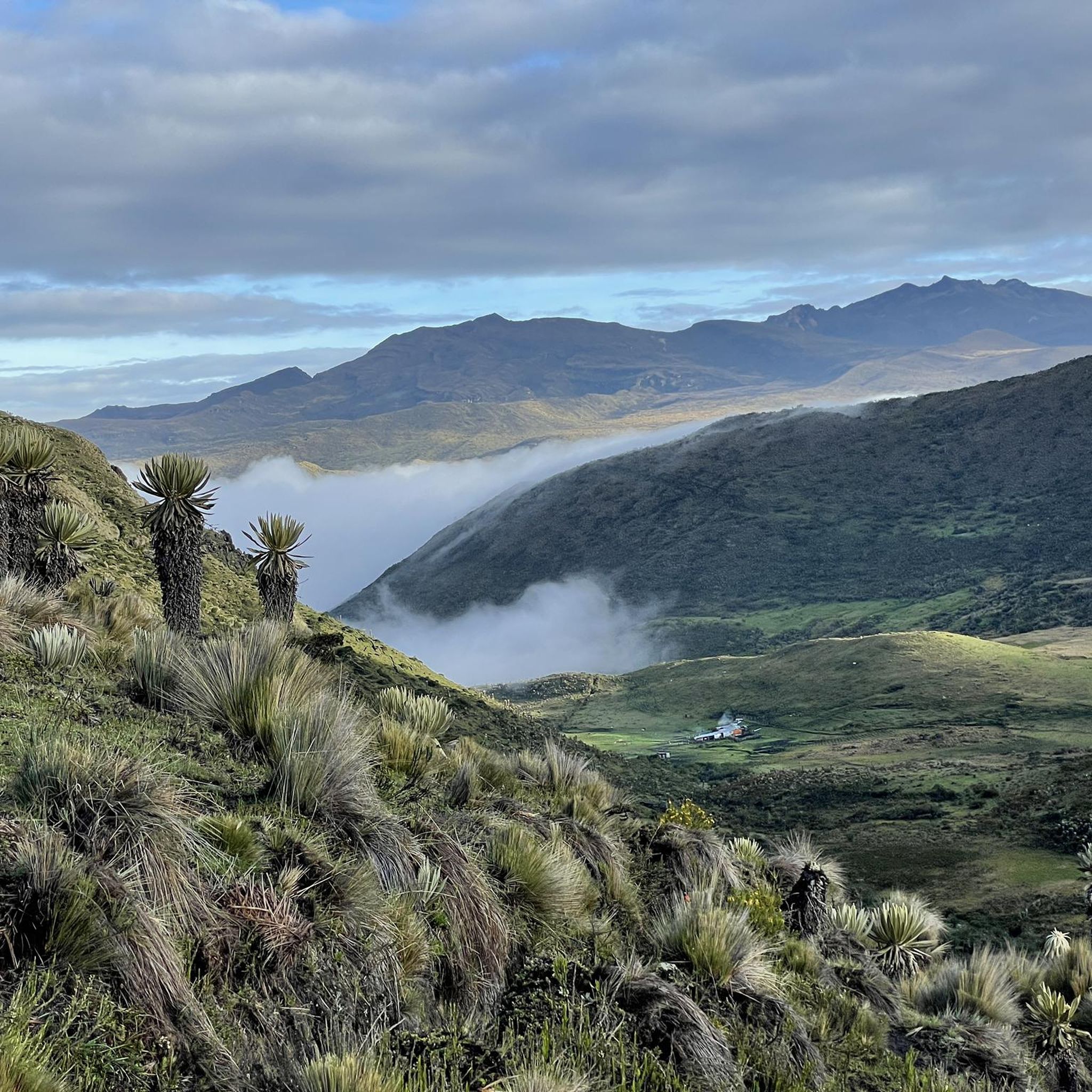
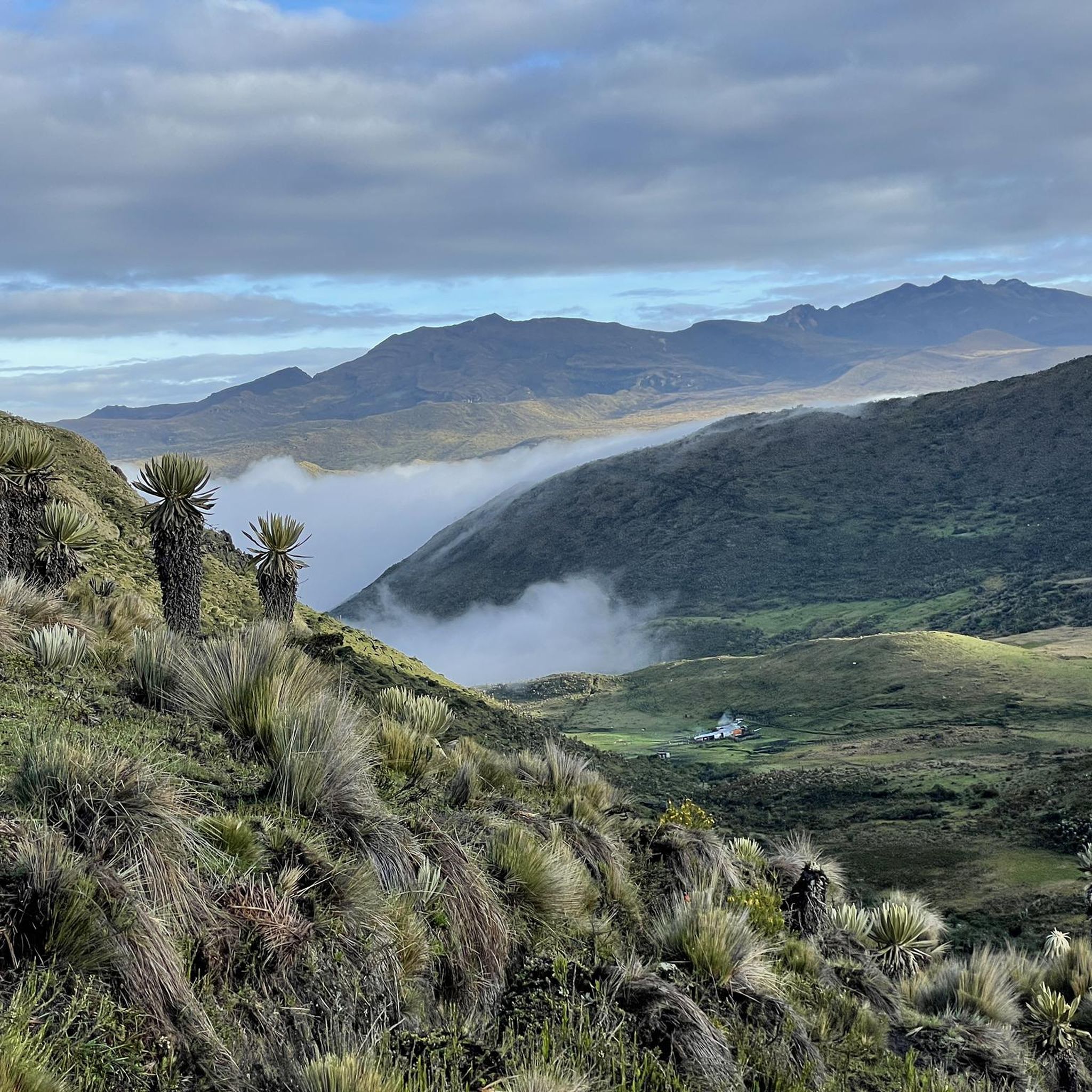
The view of the Central Cordillera is fantastic, even if the weather is only halfway cooperative. The photos give a hint.
0
0
The Finca La Montaña, at an altitude of approx. 2,840 m above sea level, marks the highest point of the classic circular hiking trail in the Cocora Valley. Highest point (hiking trail): The Finca La Montaña is located at approx. 2,840 m. It often serves as a turning point or rest stop before the descent begins. The circular trail starts in the valley at about 2,400 m and overcomes an altitude difference of approx. 540 to 700 meters.
0
0
The ascent to the Finca is steep and quite demanding, especially if you choose the route counter-clockwise.
0
0
The Finca La Montaña, at an altitude of approx. 2,840 m above sea level, marks the highest point of the classic circular hiking trail in the Cocora Valley. Highest point (hiking trail): Finca La Montaña is located at approx. 2,840 m. It often serves as a turning point or rest stop before the descent begins. The circular trail starts in the valley at about 2,400 m and overcomes an altitude difference of approx. 540 to 700 meters.
0
0
Frequently Asked Questions
How many hiking trails are available in Risaralda?
Risaralda offers a diverse network of over 40 hiking routes. These trails cater to various skill levels, from easy strolls through valleys to challenging multi-hour mountain climbs, ensuring there's an option for every hiker.
What is the best time of year to go hiking in Risaralda?
The dry season, typically from December to March and July to August, is generally considered the best time for hiking in Risaralda. During these months, you'll experience more stable weather conditions, making trails more accessible and enjoyable, especially in higher altitudes like Los Nevados National Natural Park.
Are there easy hiking trails suitable for beginners in Risaralda?
Yes, Risaralda has several easy trails perfect for beginners or those looking for a relaxed walk. For example, the Sendero Bosque de Palmas — circular por el Valle Cocora is an easy 5.3 km loop that allows you to experience the iconic wax palm trees without significant elevation gain.
Can I find hikes with waterfalls in Risaralda?
Absolutely. Risaralda's lush landscapes are home to several impressive waterfalls. The Cascada del Bosque de la Niebla desde el valle Cocora — ida y vuelta trail leads to a beautiful waterfall. Additionally, the Los Frailes waterfall near Pereira offers a guided hike through sub-Andean jungle, culminating in a natural pool.
Are there any circular hiking routes in Risaralda?
Yes, many trails in Risaralda are designed as circular routes, offering varied scenery without retracing your steps. A popular example is the Cocora Valley Loop Trail, a moderate 9 km route showcasing the region's iconic wax palm trees and panoramic Andean views.
What kind of landscapes can I expect to see while hiking in Risaralda?
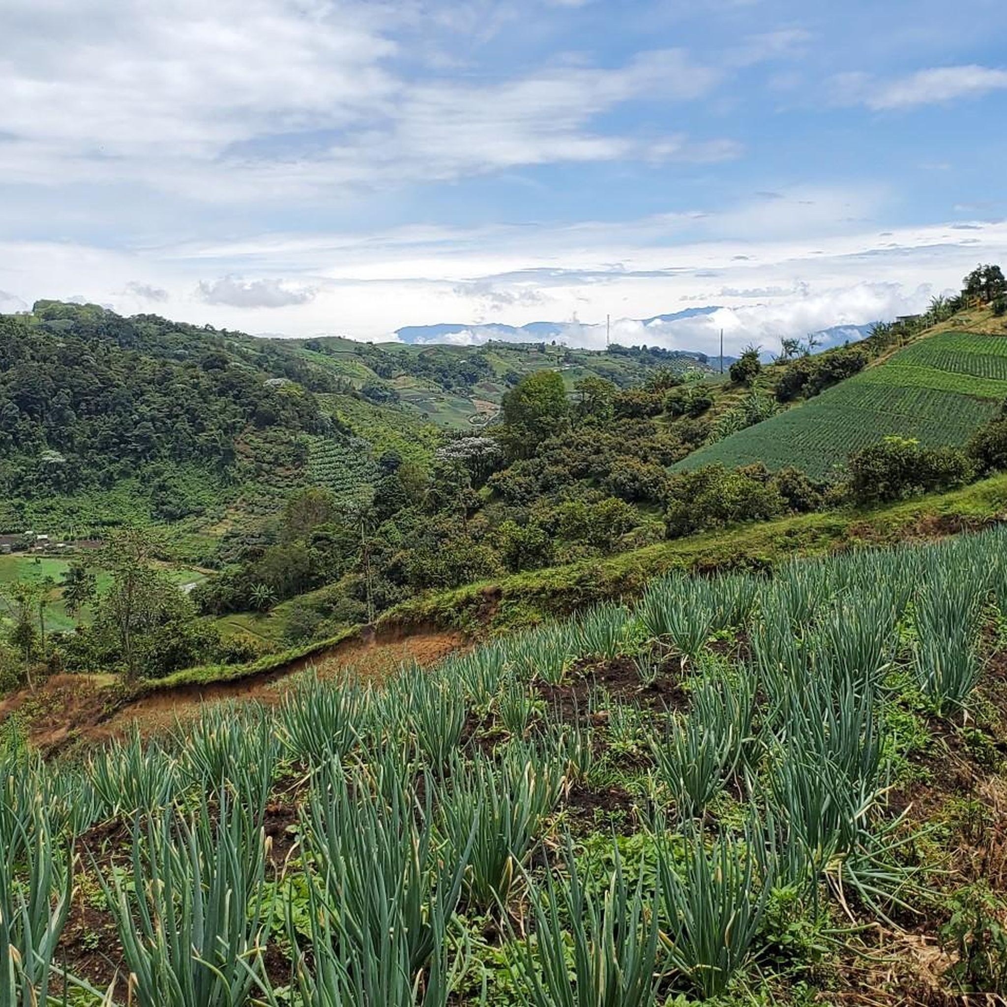
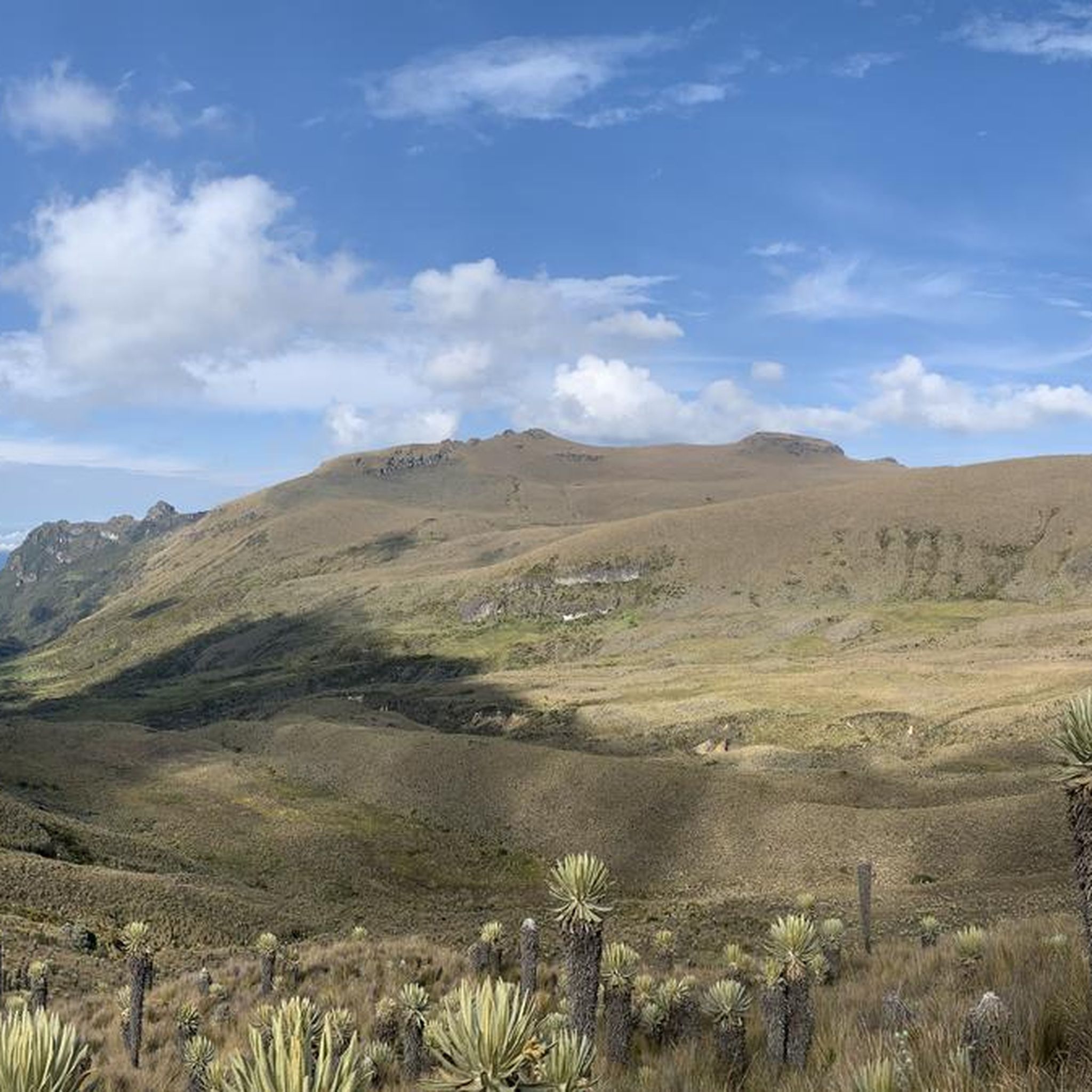
Risaralda offers incredibly diverse landscapes. You'll encounter majestic wax palm forests in the Valle del Cocora, high-altitude *páramos* and snow-capped peaks in Los Nevados National Natural Park, dense tropical and sub-Andean rainforests, and picturesque coffee plantations. The region's topography ranges from verdant valleys to volcanic terrains.
Are there any specific permits required for hiking in Risaralda?
For certain protected areas, such as Los Nevados National Natural Park and Tatamá National Natural Park, permits are required and often necessitate hiring a local guide. It's advisable to check the specific requirements for your chosen trail or park in advance, especially for high-altitude or remote routes.
What are some notable attractions or landmarks I can explore near the hiking trails?
Beyond the trails, Risaralda offers several points of interest. You can visit the Colina Iluminada Viewpoint for expansive vistas, or explore the Alegrias Canyon. The region also features charming towns like La Celia with its Town Square, and the Santa Rosa de Cabal Hot Springs area, which combines relaxation with nearby hiking opportunities.
Is Risaralda a good destination for family-friendly hikes?
Yes, Risaralda has options for families, particularly in areas like the Valle del Cocora, where shorter, less strenuous trails are available. The region's natural beauty, including the towering wax palms and diverse wildlife, provides an engaging experience for children. Always check the trail's difficulty and length to ensure it's suitable for all family members.
Are dogs allowed on hiking trails in Risaralda?
Regulations regarding dogs on hiking trails in Risaralda can vary, especially within protected natural parks and reserves. While some trails might be dog-friendly, it's crucial to verify the specific rules for each location you plan to visit. Always keep your dog on a leash and clean up after them.
How long do hikes in Risaralda typically take?
Hikes in Risaralda vary greatly in length and duration. Easy trails, like the Sendero Bosque de Palmas — circular por el Valle Cocora, can be completed in about 2 hours. Moderate routes, such as the Cocora Valley Loop Trail, typically take around 3.5 hours. More challenging and longer routes, like the Nevado del Tolima from Cocora Valley Trail, can be multi-day treks.
What do other hikers say about the trails in Risaralda?
The hiking trails in Risaralda are highly rated by the komoot community, with an average score of 4.5 stars from over 800 reviews. Hikers often praise the stunning natural beauty, the iconic wax palm trees, and the diverse landscapes that range from lush valleys to challenging mountain ascents. Many appreciate the well-maintained paths and the immersive experience in nature.
Are there challenging hikes for experienced trekkers in Risaralda?
Yes, Risaralda offers several challenging routes for experienced trekkers. Trails like Ida y vuelta al cerro Morrogacho, with its significant ascent and expansive mountain vistas, are considered difficult. The region also provides access to high-altitude expeditions within Los Nevados National Natural Park, including routes to snow-capped peaks, which require proper preparation and experience.
Most popular routes in Risaralda
Most popular attractions in Risaralda

Get inspired with the komoot mobile app


Didn’t find what you were looking for?
Check out more Hikes throughout Risaralda below and find the perfect route in your destination.
Explore more
Browse the best Hikes in other regions.
