The best gravel rides in Risaralda
5.0
(1)
36
riders
5
rides
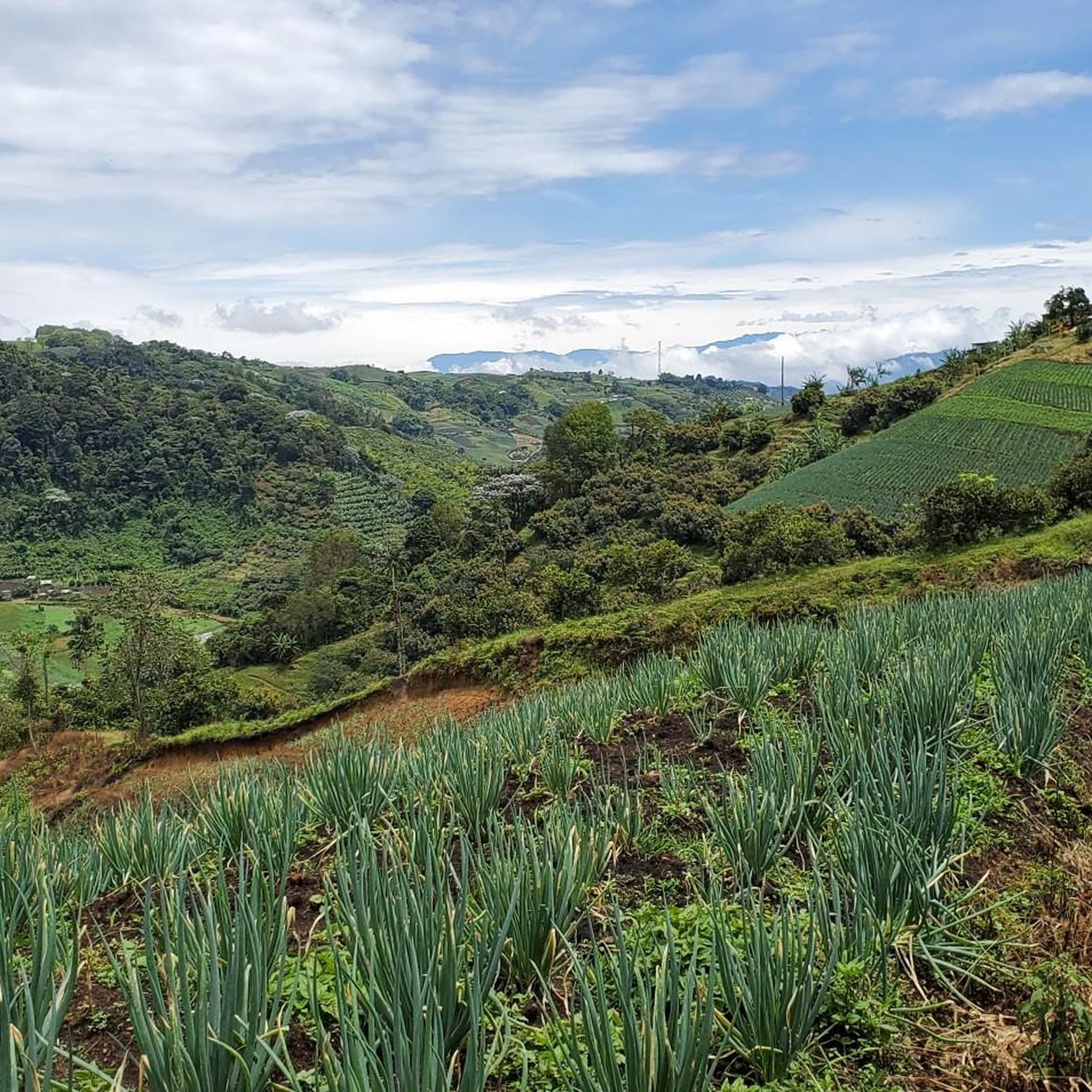
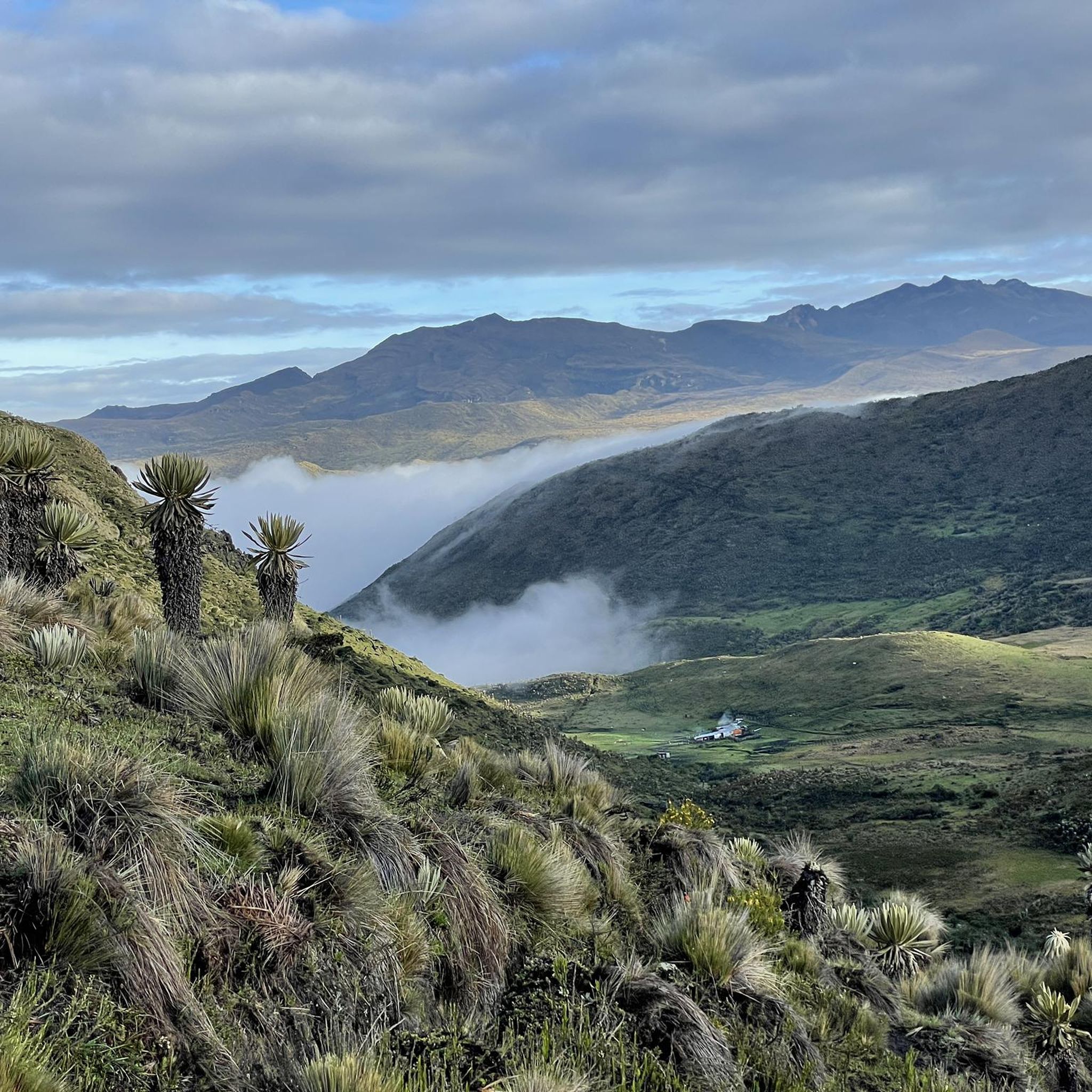
Gravel biking in Risaralda offers challenging routes through a landscape characterized by significant elevation changes and varied terrain. The region features trails that traverse mountainous areas, providing demanding climbs and descents. These routes often lead through rural settings, connecting small towns and natural features. The gravel bike trails in Risaralda are predominantly rated as difficult, catering to experienced riders seeking strenuous adventures.
Best gravel bike trails in Risaralda
- The most popular gravel bike trail is Filandia – Arabia Village Entrance…
Last updated: June 24, 2026
20
riders
87.7km
06:09
1,600m
1,600m
Hard gravel ride. Very good fitness required. Mostly paved surfaces. Suitable for all skill levels.
7
riders
28.6km
02:19
640m
650m
Hard gravel ride. Very good fitness required. Mostly paved surfaces. Suitable for all skill levels.

Sign up for free
4
riders
41.8km
03:27
780m
780m
Hard gravel ride. Very good fitness required. Mostly paved surfaces. Suitable for all skill levels.
2
riders
21.9km
02:32
910m
910m
Hard gravel ride. Very good fitness required. Mostly paved surfaces. Suitable for all skill levels.
5.0
(1)
3
riders
29.5km
02:27
790m
790m
Hard gravel ride. Very good fitness required. Mostly paved surfaces. Suitable for all skill levels.
Our route recommendations are based on thousands of hikes, rides, and runs completed by other people on komoot.
Start today with a free account
Your next adventure awaits.
Login or Signup
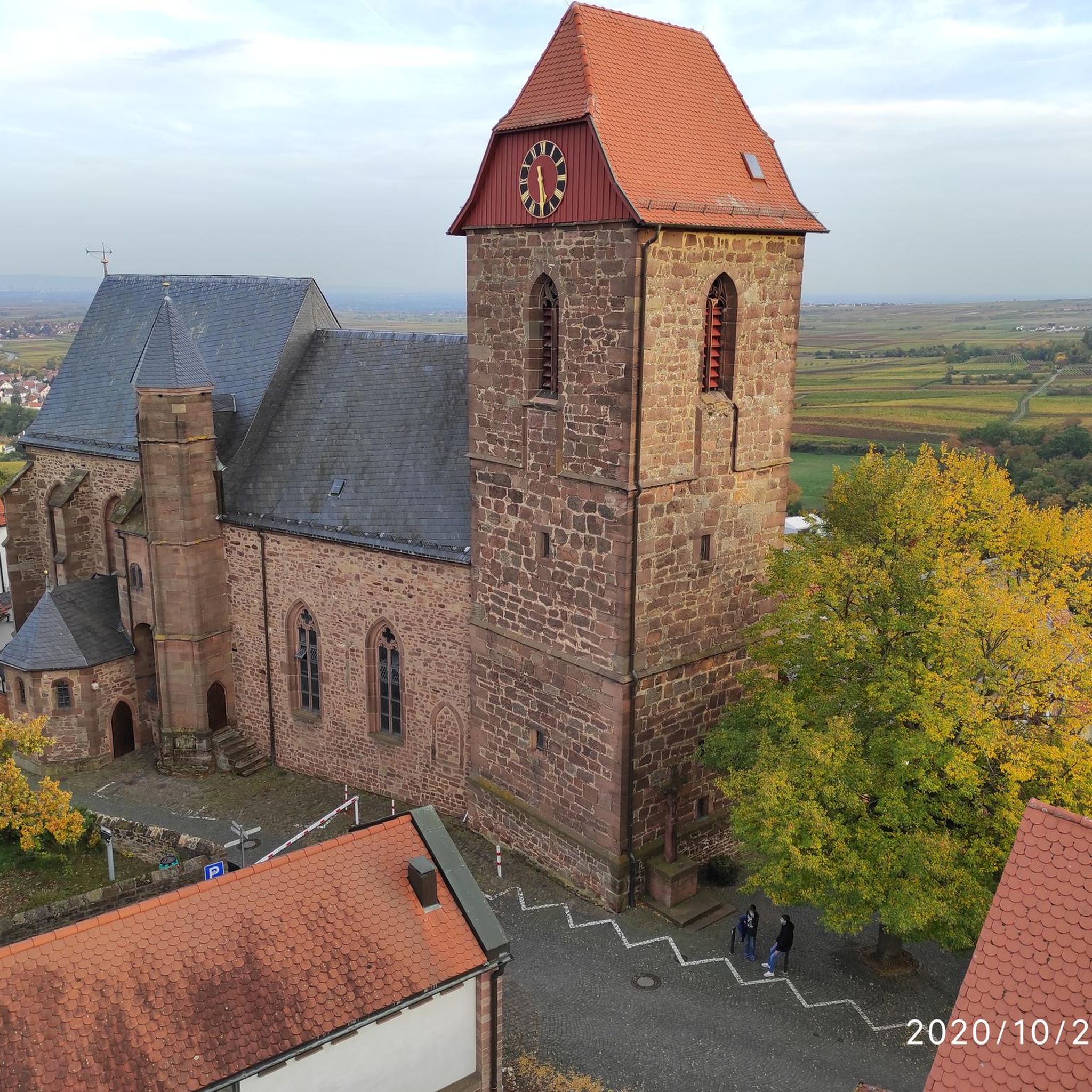

Tips from the Community

The "Path to the River" refers to a trail leading down from the farm to the Río Quindío. The Finca is located about 4 km (approx. 1 hour on foot or 20 minutes by car/Willy-Jeep) southwest of Salento. A crystal-clear river flows about 300 meters below the farm. A marked path leads through the coffee plantations and a bamboo forest directly to the water. Alternative return route: Hikers often use a flat path along the river, which leads to the village of Boquía in about 35 minutes. From there, you can conveniently take a bus back to Salento to avoid the steep uphill return to the farm. In addition to river access, the farm offers guided tours.
0
0
The Calle Real (Carrera 6) is the pulsating heart of Salento and is considered one of the most photogenic streets in Colombia. The street is famous for its well-preserved colonial architecture. The two-story houses with their brightly painted balconies, doors, and window frames are the hallmark of the village. On the ground floors, you will find countless small shops selling traditional handicrafts, jewelry made from coffee beans, hand-woven ponchos (Ruanas), and of course, locally roasted specialty coffee.
0
0
A colorful municipality in the Colombian coffee region (Eje Cafetero), known for its colonial architecture and natural wonders. Famous for the wax palms (national tree of Colombia) up to 60 meters high. Culture: Colorful house facades in the Calle Real and numerous traditional coffee farms (Fincas) offering tours.
1
0
A colorful municipality in Colombia's Coffee Region (Eje Cafetero), known for its colonial architecture and natural wonders. Famous for the wax palms up to 60 meters high (Colombia's national tree). Culture: Colorful house facades in the Calle Real and numerous traditional coffee farms (Fincas) offering tours.
0
0
Plaza de Bolívar is the pulsating heart of Salento. This central square is known for its vibrant atmosphere, surrounded by colorful colonial buildings housing numerous restaurants, cafes, and artisan shops. Directly on the square stands the striking yellowish church of Nuestra Señora del Carmen. In the middle of the park, a statue of the liberator Simón Bolívar is enthroned. The square is the main hub for the famous Willys jeeps that transport hikers to the nearby Cocora Valley. Here you can try the local specialty trout with Patacón (fried plantains). On weekends, the square often transforms into a market with local crafts and street food.
0
0

Calle Real has many shops. It's quite lively and perfect for a leisurely stroll. One of the best places to discover Salento.
0
0
Among colorful houses, gentle hills, and viewpoints that appear unexpectedly, Salento is a charming town. The best way to experience it is to enjoy its surroundings at a leisurely pace.
1
0

Frequently Asked Questions
Are the gravel bike trails in Risaralda suitable for beginners?
The gravel bike trails in Risaralda are predominantly rated as difficult, characterized by significant elevation changes and varied terrain. They are best suited for experienced riders seeking strenuous adventures rather than beginners.
What makes the gravel bike trails in Risaralda challenging?
The trails in Risaralda feature demanding climbs and descents through mountainous areas, often on rural paths. All five routes listed in this guide are classified as difficult, requiring a good level of fitness and technical skill.
What is the typical length and duration of gravel bike trails in Risaralda?
The trails vary in length, from shorter routes like the Filandia – Mirador Altobonito loop from Filandia at 17.8 miles (28.6 km) taking about 2 hours 40 minutes, to longer expeditions such as the Filandia – Arabia Village Entrance loop from Filandia, which is 54.5 miles (87.7 km) and can take over 7 hours.
Are there many loop trails for gravel biking in Risaralda?
Yes, all the featured gravel bike routes in Risaralda are loop trails, allowing you to start and finish at the same point. Examples include the Filandia – Intertwined Trees loop from Filandia and the La Nubia Trail – Salento loop from Salento.
What are some scenic viewpoints along the gravel bike trails in Risaralda?
While specific viewpoints directly on the trails are not always marked, the mountainous terrain naturally offers many panoramic vistas. For a dedicated scenic spot, consider visiting the Colina Iluminada Viewpoint, which provides expansive views of the region.
What interesting places can I explore near the gravel bike trails in Risaralda?
Beyond the trails, Risaralda offers several attractions. You could visit the La Celia Town Square for a taste of local life, or explore natural features like the Alegrias Canyon. There's also the unique Bird Mural in Vereda El Jazmín.
What is the best time of year to go gravel biking in Risaralda?
Risaralda, being in the Colombian Andes, generally experiences two rainy seasons (April-May and October-November) and two drier seasons (December-March and June-September). For the most comfortable riding conditions, the drier months are usually preferred, though rain can occur year-round.
Are there any specific trails or highlights for mountain biking in Risaralda?
While this guide focuses on gravel biking, Risaralda also has dedicated mountain biking areas. You can find trails like La Margarita Trail and Pitbull Trail, which are part of the region's bike park offerings.
What do other gravel bikers enjoy the most about gravel biking in Risaralda?
The area is highly rated by the komoot community, with an average score of 5.0 stars. Reviewers often praise the challenging nature of the routes, the significant elevation changes, and the opportunity to explore rural settings and small towns.
How many gravel bike trails are available in Risaralda through komoot?
There are currently 5 gravel bike trails detailed in this guide for Risaralda, all of which are classified as difficult and offer substantial elevation gains.
Can I find routes that connect different towns or villages in Risaralda?
Yes, many of the gravel routes in Risaralda traverse rural settings and connect small towns. For example, the Filandia – Arabia Village Entrance loop from Filandia starts in Filandia and passes through other local areas, offering a glimpse into the region's communities.
Most popular routes in Risaralda
Most popular attractions in Risaralda

Get inspired with the komoot mobile app


Didn’t find what you were looking for?
Check out more Gravel rides throughout Risaralda below and find the perfect route in your destination.
Explore more
Browse the best Gravel rides in other regions.
