The best running trails around Gwernyfed
4.7
(12)
756
runners
92
runs
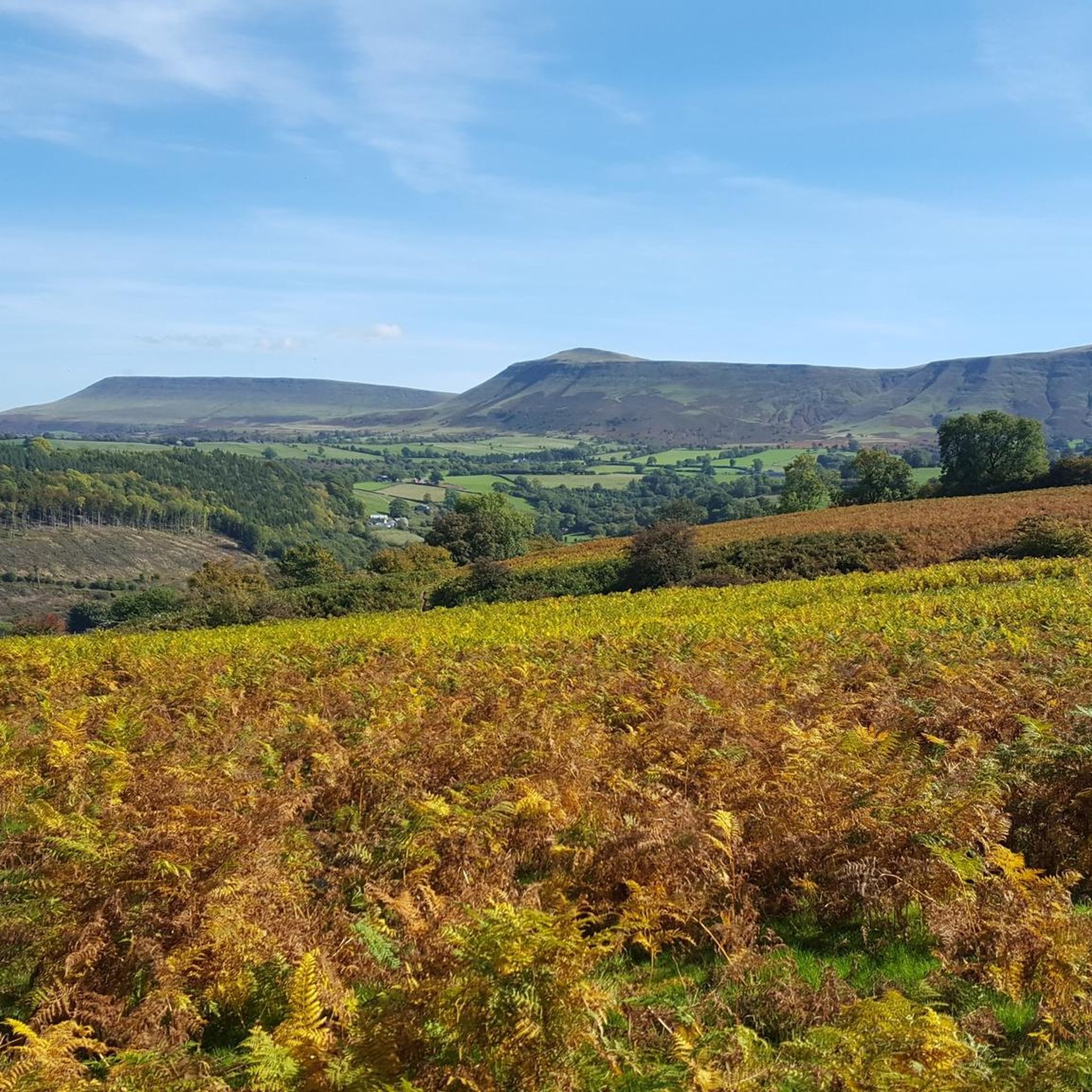
Jogging around Gwernyfed offers routes through a landscape characterized by rolling hills, river valleys, and elevated terrain. The region features prominent summits and extensive loops, providing varied challenges for runners. Paths often traverse open uplands and follow natural watercourses, with many routes starting from villages like Glasbury.
Best jogging routes around Gwernyfed
- The most popular jogging route is Lord Hereford's Knob (Twmpa) trail running loop, a 10.6 miles (17.0 km) trail that takes 2 hours 11 minutes to complete,…
Last updated: July 4, 2026
2
runners
17.0km
02:11
530m
540m
Embark on a difficult jogging adventure with the Lord Hereford's Knob (Twmpa) trail running loop. This challenging route covers 10.6 miles (17.0 km) and features a substantial elevation gain of…
5.0
(1)
70
runners
26.9km
03:27
800m
800m
Hard run. Very good fitness required. Mostly paved surfaces. Suitable for all skill levels.

Sign up for free
22
runners
Hard run. Very good fitness required. Mostly paved surfaces. Suitable for all skill levels.
9
runners
6.92km
00:44
30m
30m
Moderate run. Good fitness required. Mostly paved surfaces. Suitable for all skill levels.
9
runners
Hard run. Very good fitness required. Mostly paved surfaces. Suitable for all skill levels.
Get access to more routes and recommendations from other explorers.
Sign up for free
Already have an account?
Our route recommendations are based on thousands of hikes, rides, and runs completed by other people on komoot.
Start today with a free account
Your next adventure awaits.
Login or Signup
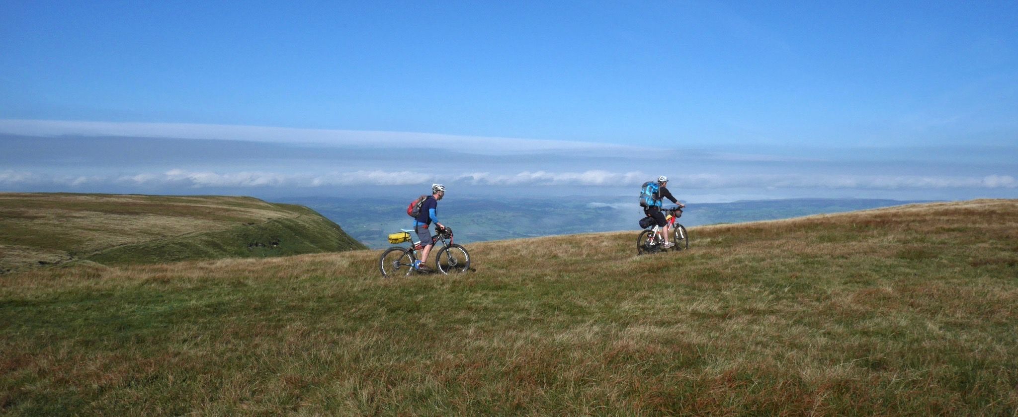
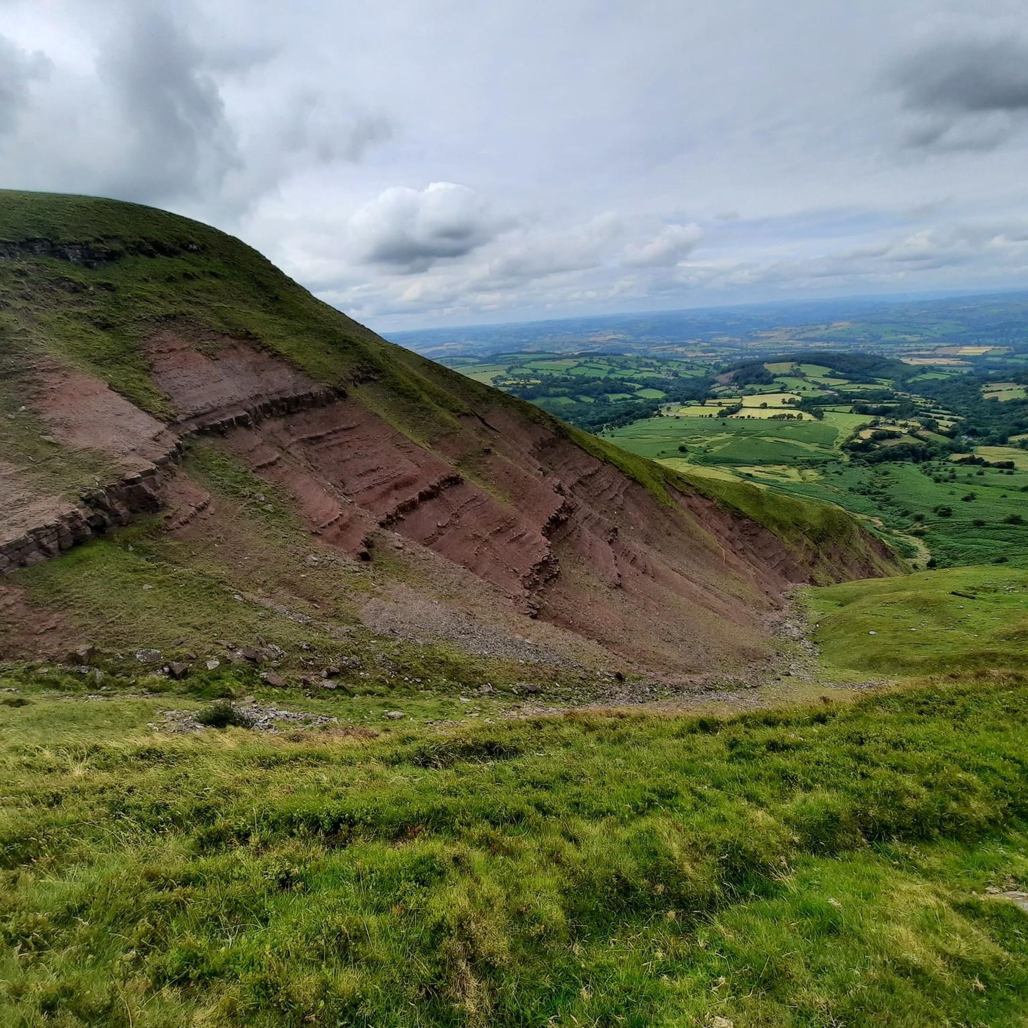
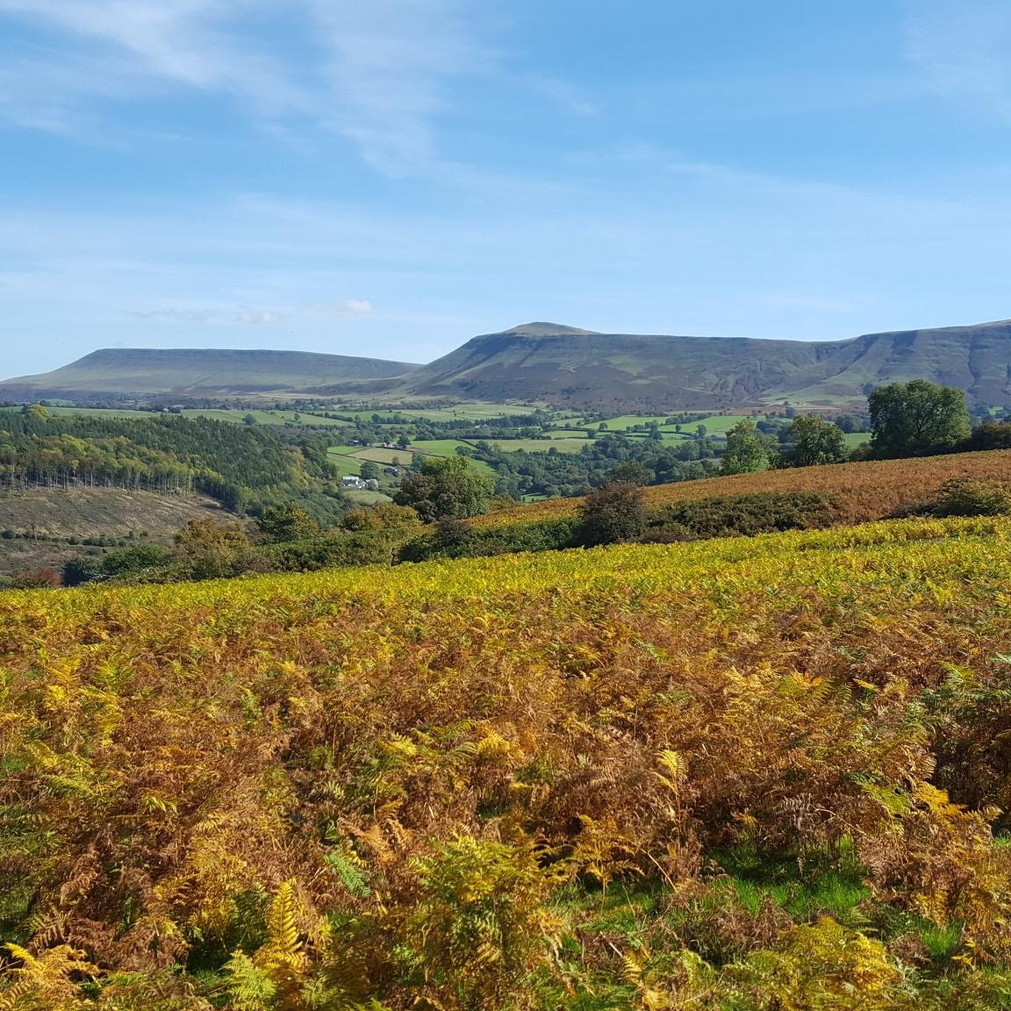
Other adventures around Gwernyfed

Tips from the Community

Great little Bothy but really steep hike a bike to get down from the path. Very sketchy in the dry. In fact don’t do it! Bike and yourself could end up in the reservoir.
0
0

Great spot for a lunch break mid ride. Was a little open when windy though
0
0

Pen y Gadair Fawr stood at an impressive height of 800 metres, and is an subsidiary summit of the highest peak within the Black Mountains … and that is the summit that is of Waun Fach-(811m). Pen y Gadair Fawr is the second highest peak that’s located in the Black Mountains in south-eastern Wales. Marked by a medium-sized cairn, it is a much more distinguished top than its parent 1.5 km to the northwest. Its 658 metres high top Pen Twyn Mawr is about 2 km to the southeast.
0
0

A top on the Rhos Dirion ridge, that gives a good view across to Pen y Gadair.
0
0
This was the highest point on this walk, and a fine view to the north and west.
0
0
A fine viewpoint, but the cairn has gone (was getting a bit big).
0
0

turns into a modest stream after the rain
0
0
Frequently Asked Questions
How many running routes are available in Gwernyfed?
There are over 90 dedicated running routes around Gwernyfed, offering a wide range of options for all abilities. These include everything from moderate riverside loops to challenging long-distance trails across elevated moorland.
Are there any easy or beginner-friendly jogging routes in Gwernyfed?
Yes, while many routes feature significant elevation, there are options suitable for beginners. A good example is the Red Telephone Box Library – Glasbury on the River Wye loop from Glasbury, which is a moderate 6.9 km route with minimal elevation gain, perfect for a gentle run along the river.
What kind of terrain can I expect on running trails in Gwernyfed?
Running in Gwernyfed primarily involves varied terrain, from paths through rolling hills and river valleys to more challenging routes across open uplands and prominent summits. You'll encounter a mix of natural surfaces, including moorland tracks and riverside trails.
Are there any long-distance running trails for experienced runners?
Absolutely. Gwernyfed is known for its challenging long-distance routes. For instance, the Gospel Pass – Hay Bluff loop from Glasbury is a difficult 41 km trail with substantial elevation, offering a significant challenge for seasoned runners.
What scenic viewpoints or landmarks can I see along the running paths?
Many routes in Gwernyfed offer breathtaking views. You can encounter prominent peaks and viewpoints such as Hay Bluff, Twmpa (Lord Hereford’s Knob), and Pen y Gadair Fawr Summit Cairn. These offer expansive vistas of the surrounding Welsh landscape.
Are there circular running routes available in Gwernyfed?
Yes, many of the popular running routes in Gwernyfed are circular, allowing you to start and finish in the same location. Examples include the Lord Hereford's Knob (Twmpa) trail running loop and the Blaen Grwyne Fawr – Rhos Dirion summit loop from Glasbury.
What do other runners enjoy most about jogging in Gwernyfed?
The running routes in Gwernyfed are highly rated by the komoot community, with an average score of 4.5 stars. Runners frequently praise the challenging hill climbs, the beauty of the river valley paths, and the expansive, open moorland experiences.
Is Gwernyfed suitable for family-friendly running or walks?
While many routes are challenging, there are gentler paths suitable for families looking for a less strenuous run or walk. The riverside sections, particularly those starting from villages like Glasbury, often provide flatter, more accessible terrain.
What are the best times of year to go running in Gwernyfed?
Spring and autumn generally offer the most pleasant conditions for running in Gwernyfed, with milder temperatures and beautiful scenery. Summer can be excellent, but be prepared for potentially warmer weather on exposed trails. Winter running is possible but requires appropriate gear for colder, potentially wet, and sometimes icy conditions on higher ground.
Are there any running routes that pass by a pub or offer a good stop for refreshments?
Many routes in Gwernyfed start or pass through villages like Glasbury, which often have local pubs or cafes. While specific routes aren't designed around pub stops, planning your run to conclude in one of these villages is a popular way to enjoy post-run refreshments.
What are the typical winter conditions for running trails in Gwernyfed?
During winter, higher elevation trails in Gwernyfed can be exposed to strong winds, rain, and occasionally snow or ice. Lower-lying paths, especially along river valleys, tend to be less affected but can still be muddy. Always check local weather forecasts and trail conditions before heading out in winter.
Are the running trails in Gwernyfed dog-friendly?
Many trails in Gwernyfed are suitable for running with dogs, especially those on public rights of way. However, always keep dogs under control, particularly when passing through farmland with livestock, and be mindful of local signage regarding dog access, especially in nature reserves or protected areas.
Most popular attractions around Gwernyfed

Get inspired with the komoot mobile app


Explore more
Browse the best Running Trails & Routes in other regions.
