The best walks and hikes around Gwernyfed
4.6
(1015)
7,242
hikers
227
hikes
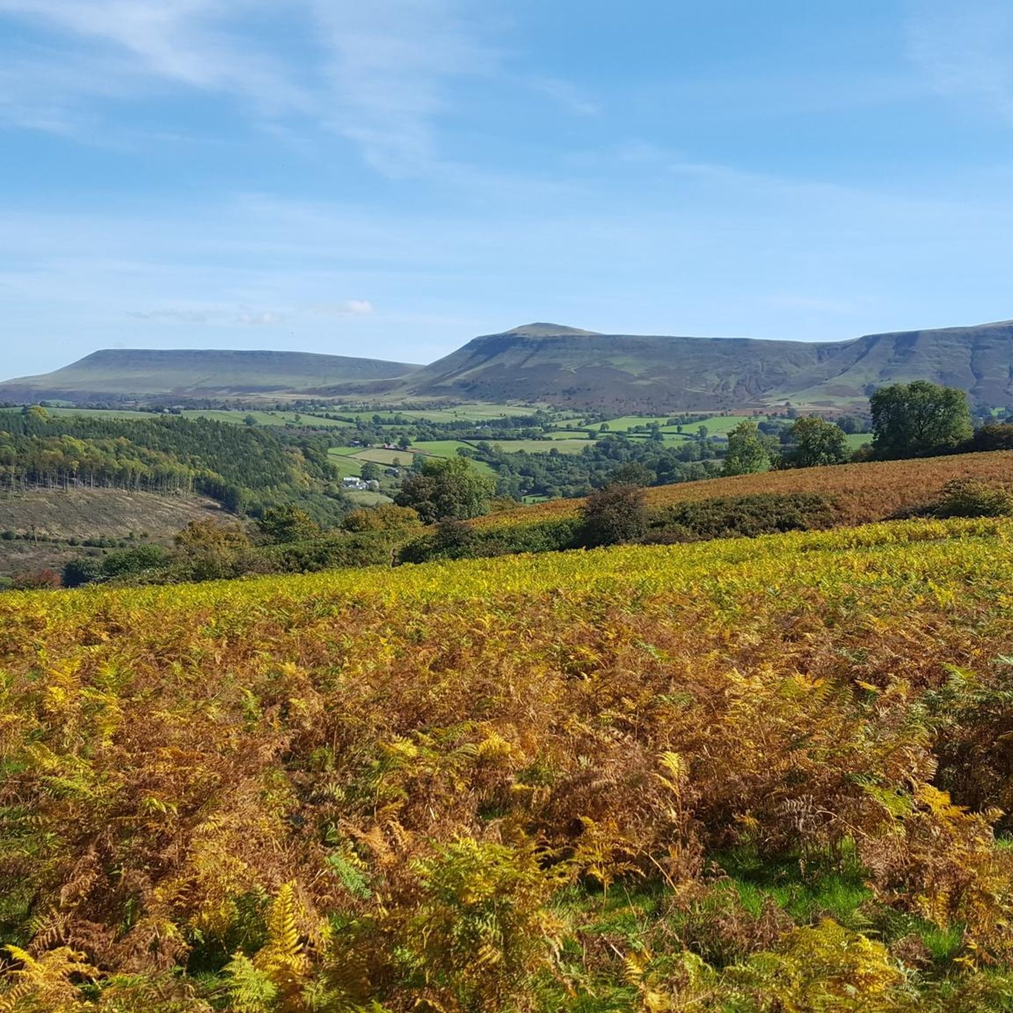
Hikes around Gwernyfed explore the landscape of Powys, Wales, situated near the Black Mountains and Brecon Beacons National Park (Bannau Brycheiniog). The region is characterized by rolling hills, river valleys, and open moorland ridges formed from old red sandstone. The network of trails provides access to notable summits and expansive views across the surrounding countryside.
Best hiking trails around Gwernyfed
- The most popular hiking route is Lord Hereford's Knob (Twmpa) from Gospel Pass — Brecon Beacons National Park, a…
Last updated: May 25, 2026
5.0
(5)
20
hikers
4.91km
01:34
210m
210m
Easy hike. Great for any fitness level. Easily-accessible paths. Suitable for all skill levels.
4.5
(4)
37
hikers
Hard hike. Very good fitness required. Easily-accessible paths. Suitable for all skill levels.

Sign up for free
1
hikers
Moderate hike. Great for any fitness level. Mostly accessible paths. Sure-footedness required.
4.8
(11)
163
hikers
Hard hike. Very good fitness required. Easily-accessible paths. Suitable for all skill levels.
4.9
(8)
54
hikers
11.0km
03:27
420m
410m
Moderate hike. Good fitness required. Easily-accessible paths. Suitable for all skill levels.
Get access to more routes and recommendations from other explorers.
Sign up for free
Already have an account?
Our route recommendations are based on thousands of hikes, rides, and runs completed by other people on komoot.
Start today with a free account
Your next adventure awaits.
Login or Signup
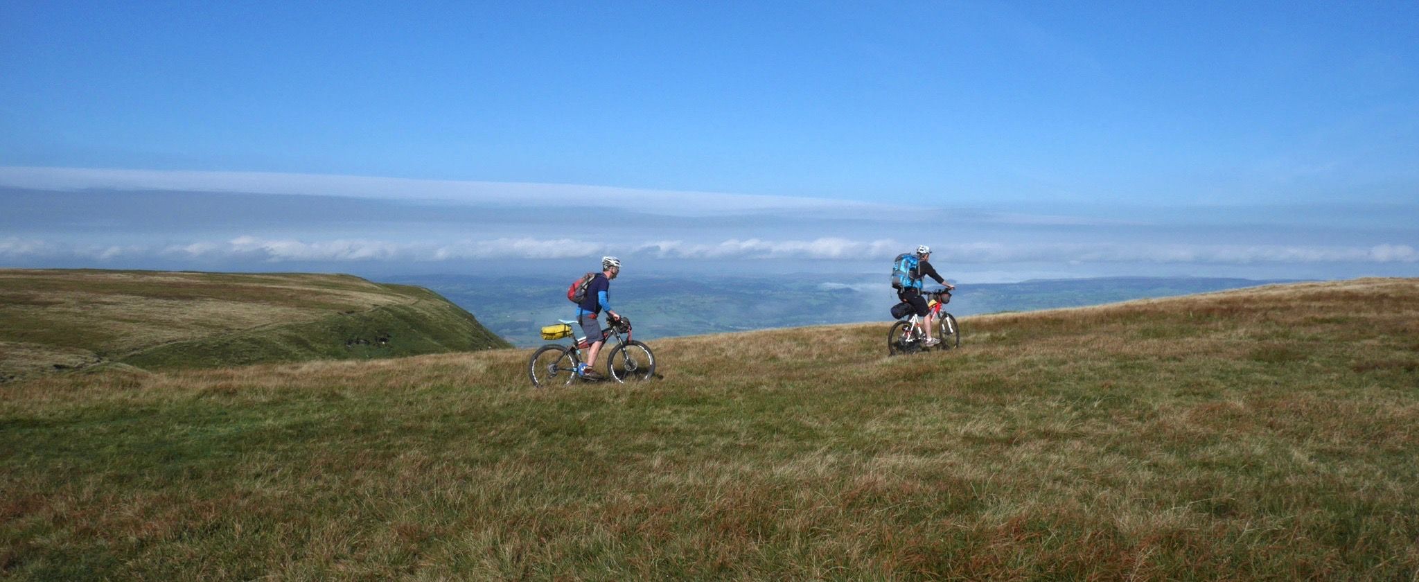
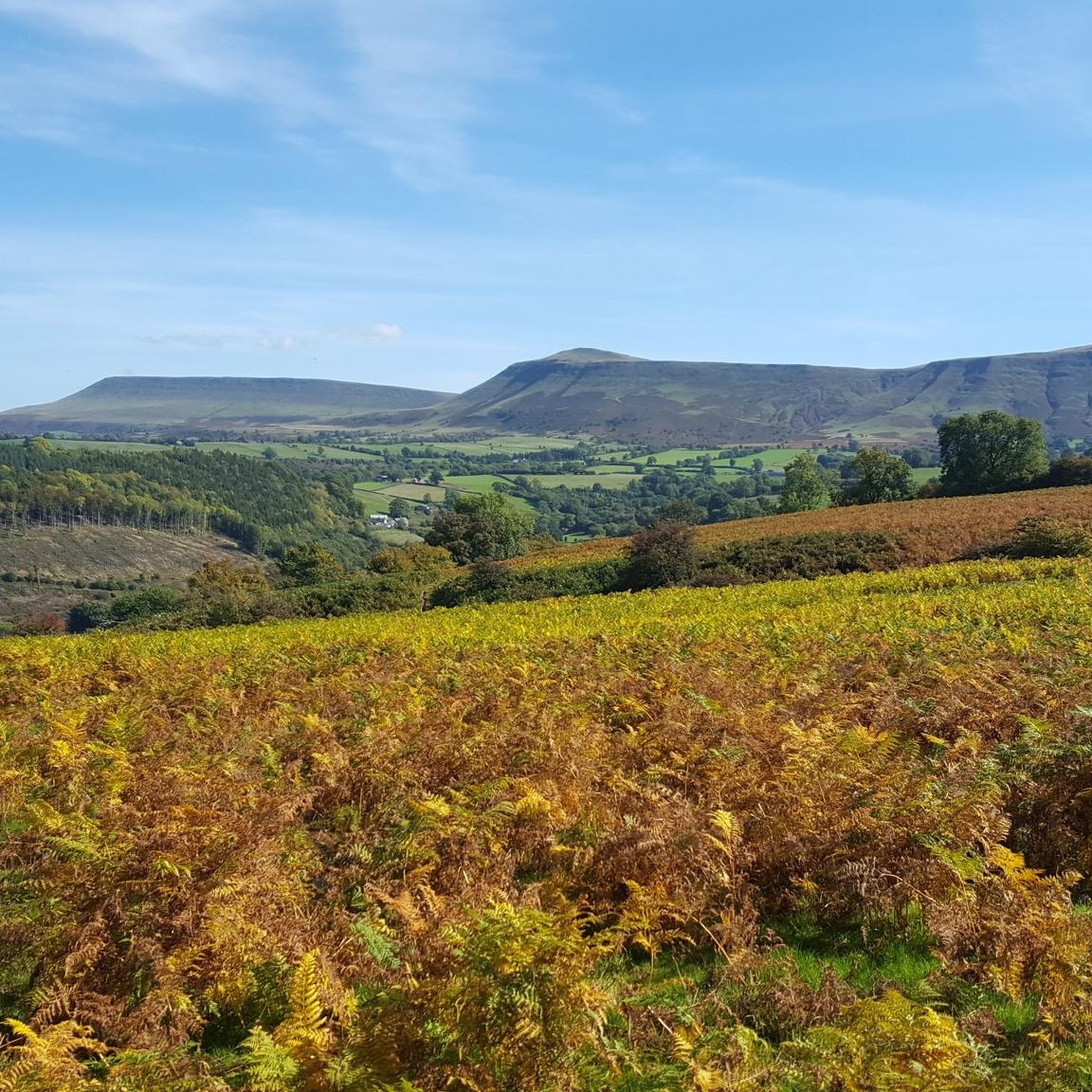
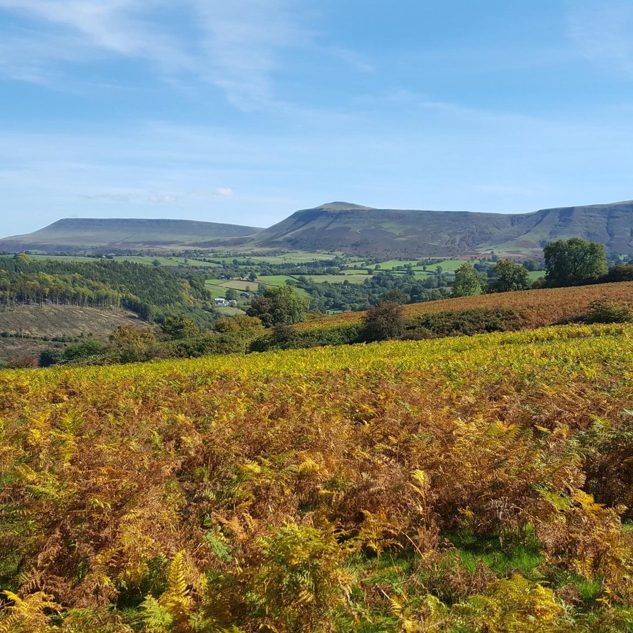
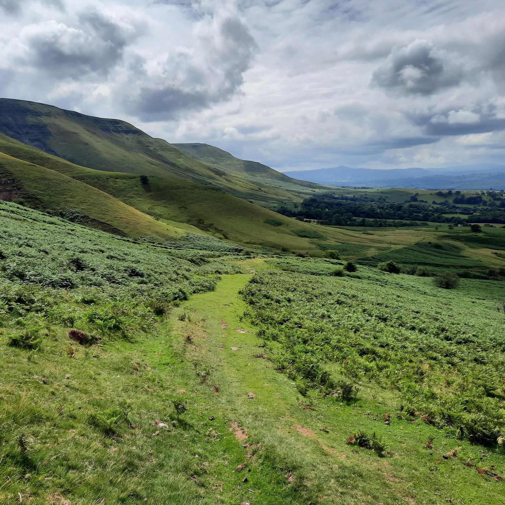
Other adventures around Gwernyfed

Tips from the Community

Pen y Gadair Fawr stood at an impressive height of 800 metres, and is an subsidiary summit of the highest peak within the Black Mountains … and that is the summit that is of Waun Fach-(811m). Pen y Gadair Fawr is the second highest peak that’s located in the Black Mountains in south-eastern Wales. Marked by a medium-sized cairn, it is a much more distinguished top than its parent 1.5 km to the northwest. Its 658 metres high top Pen Twyn Mawr is about 2 km to the southeast.
0
0

You will see these hardy ponies all over the Black Mountains, and they have to be tough as it is a harsh environment up there.
0
0
A top on the Rhos Dirion ridge, that gives a good view across to Pen y Gadair.
0
0
This was the highest point on this walk, and a fine view to the north and west.
0
0
A fine viewpoint, but the cairn has gone (was getting a bit big).
0
0
The pass from Hay to the Vale of Ewyas, there is a small parking area near the top.
0
0

turns into a modest stream after the rain
0
0
Frequently Asked Questions
Are there many hiking trails to choose from around Gwernyfed?
Yes, there is a wide variety of trails. You can explore over 230 routes in the region, ranging from easy strolls to challenging mountain treks in the Black Mountains and nearby Brecon Beacons National Park.
What do other hikers think of the trails in the Gwernyfed area?
The hiking routes around Gwernyfed are highly regarded by the komoot community, with an average rating of 4.6 stars. Reviewers often praise the stunning panoramic views from the ridges and the mix of accessible hill walks and more demanding mountain paths.
Can I bring my dog on hikes near Gwernyfed?
Many trails in the area are suitable for dogs, but it's important to be mindful of the landscape. You'll be hiking in an area with active farmland and sensitive wildlife habitats. Always keep your dog under close control, especially near livestock, and check for any specific restrictions in the Brecon Beacons National Park before you go.
Are there any easy, family-friendly walks in the area?
Yes, the Pwll y Wrach Nature Reserve near Talgarth is a popular choice for families. It offers a pleasant woodland walk with a waterfall. The main paths are generally easy, making it suitable for children.
Where can I find a challenging, full-day hike?
For a demanding trek, consider the Pen y Manllwyn Summit – Waun Fach summit loop from Blaenau-Isaf Farm. This is a long and strenuous route that takes you to the highest peak in the Black Mountains, offering a true sense of wilderness and rewarding views.
Are there any good circular walks starting near Gwernyfed?
Absolutely. A great option for a moderate circular hike is the Twmpa (Lord Hereford’s Knob) – Hay Bluff loop from Craswall. This route provides a fantastic ridge walk with expansive views without being overly strenuous.
What should I know about parking for hikes in the Black Mountains?
Parking is available but can be limited, especially at popular trailheads like Gospel Pass. These are often small, informal car parks that fill up quickly on weekends and holidays. It's always best to arrive early to secure a spot or have an alternative hike in mind.
Is it possible to reach the trailheads using public transport?
Public transport options are limited in this rural area. Bus services connect some of the larger villages like Talgarth and Hay-on-Wye, but reaching remote trailheads in the mountains, such as those for Waun Fach or Hay Bluff, typically requires a car.
Are there any pubs or cafes for after a hike?
Yes, the nearby town of Hay-on-Wye is well-known for its numerous pubs, cafes, and bookshops, making it an excellent place to relax after a day on the trails. You'll find plenty of options to refuel and discuss your walk.
What kind of wildlife might I see while hiking?
The Brecon Beacons National Park is a sanctuary for diverse fauna. Keep an eye out for birds of prey like red kites and buzzards soaring over the ridges. The park's varied habitats also support a wide range of other species. You can learn more about local wildlife on the park's official website.
Do any long-distance trails pass through the Gwernyfed area?
Yes, the famous Offa's Dyke Path runs along the border between England and Wales nearby. A section of this national trail is included in the popular Hay Bluff loop from Gospel Pass, following the dramatic escarpment.
What is the terrain like on the hikes around Gwernyfed?
The landscape is defined by the old red sandstone of the Black Mountains. Expect rolling green hills, open heather-clad moorland, and steep, glacier-carved escarpments. Trails can be grassy, rocky, or muddy depending on the route and recent weather, so sturdy footwear is essential.
Most popular attractions around Gwernyfed

Get inspired with the komoot mobile app


Explore more
Browse the best Hikes in other regions.
