The best road cycling routes around Haile
4.3
(30)
2,139
riders
78
rides
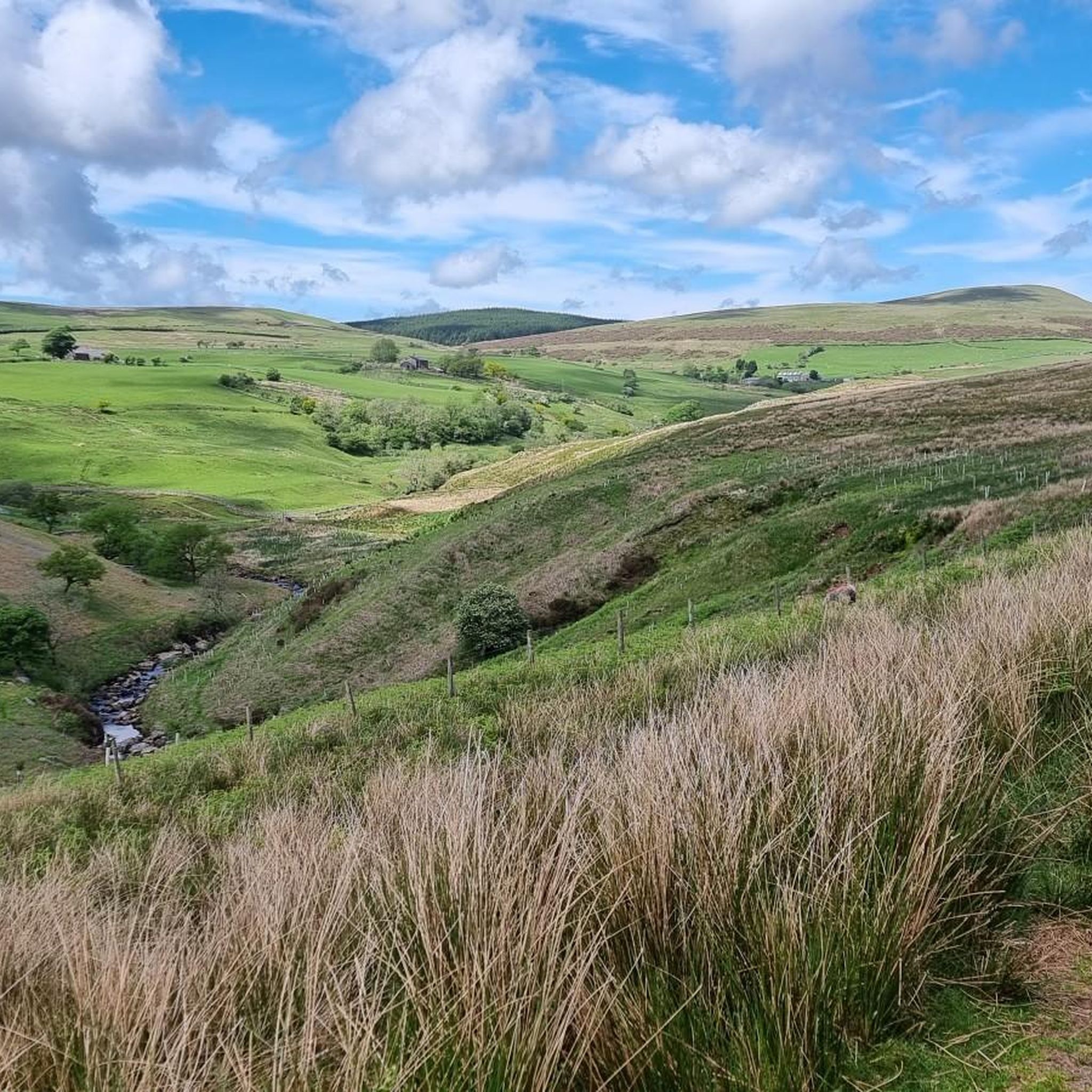
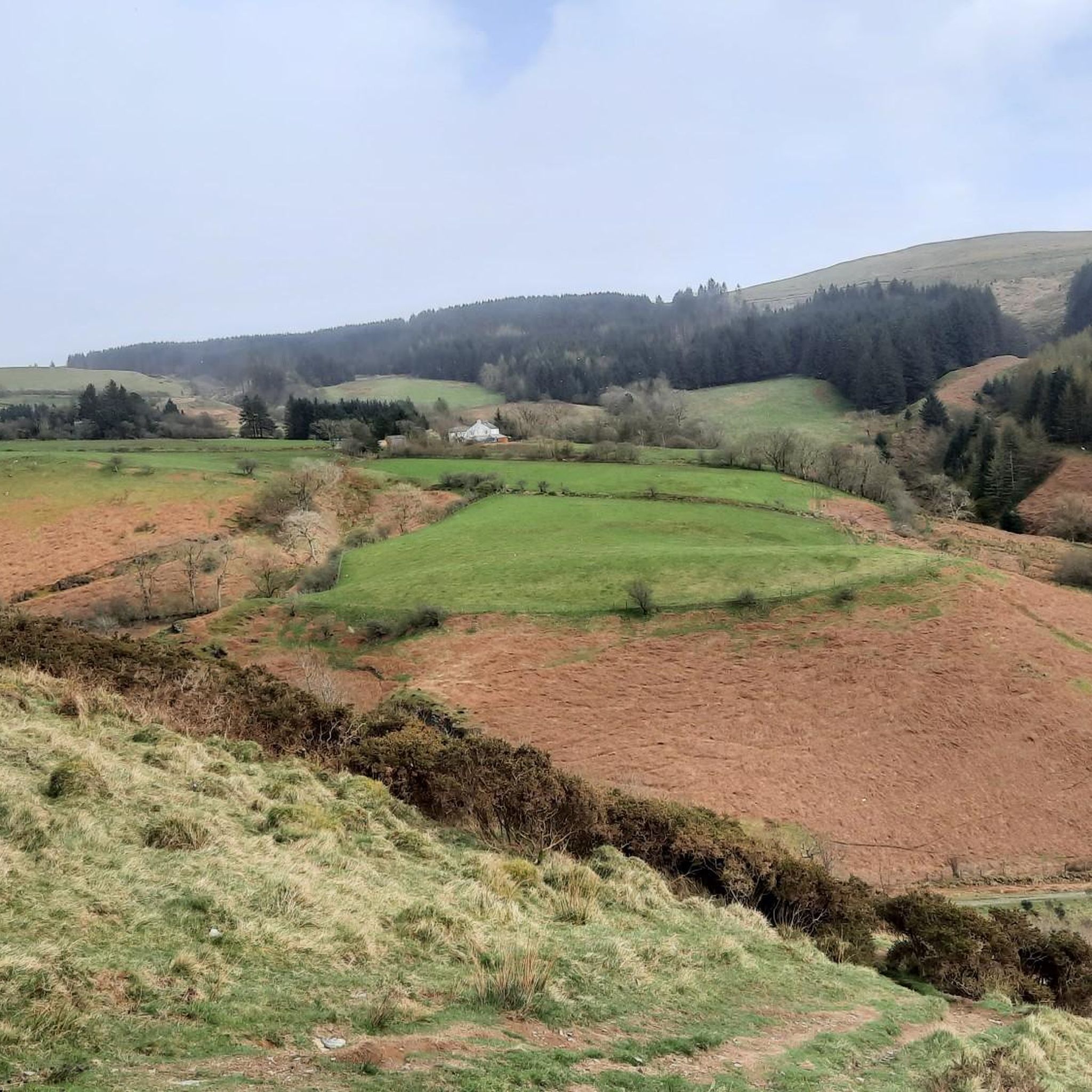
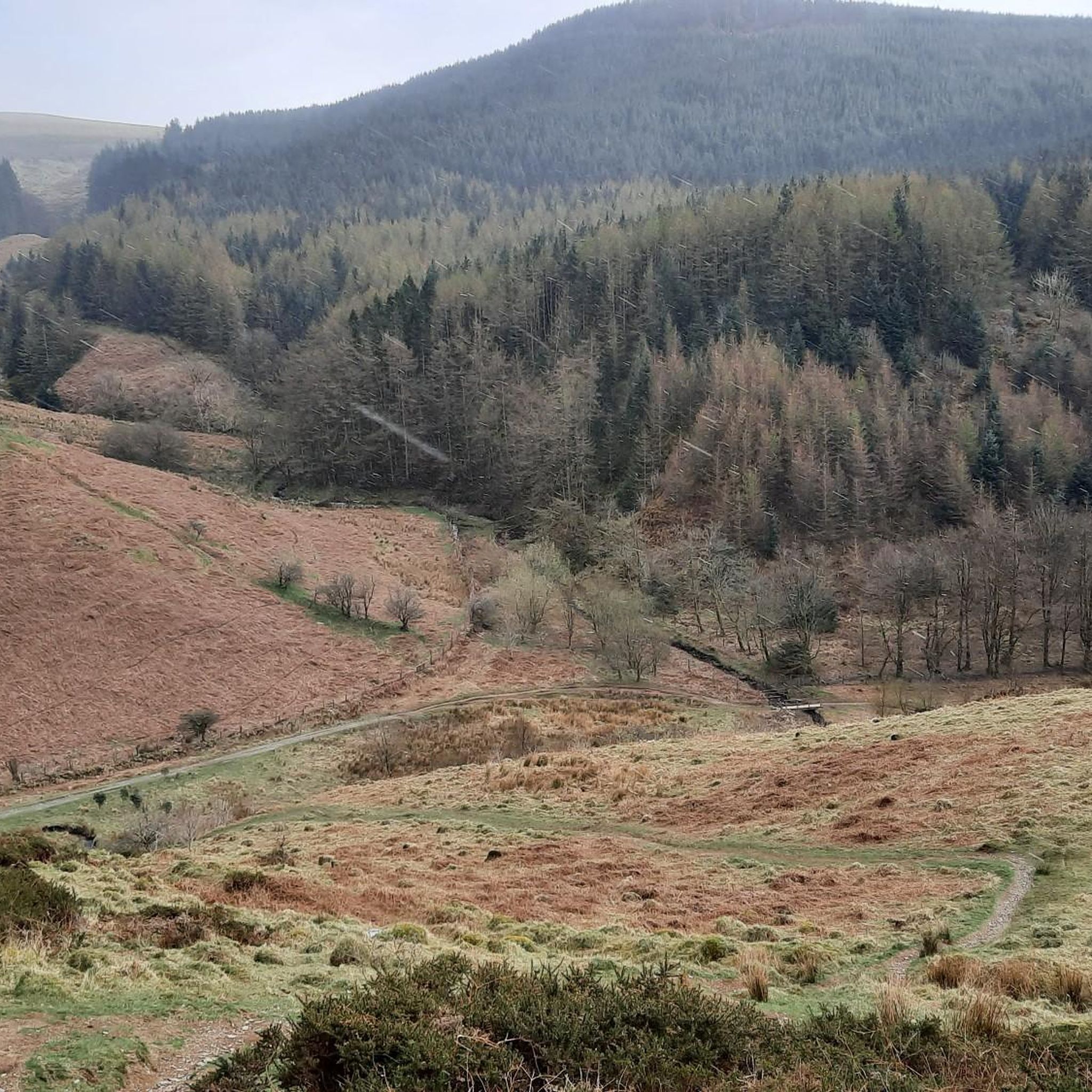
Road cycling routes around Haile are characterized by varied terrain, including rolling hills and coastal views. The region features a mix of open roads and paths that traverse agricultural land and small villages. Elevations typically range from gentle inclines to more sustained climbs, offering diverse experiences for road cyclists.
Best road cycling routes around Haile
- The most popular road cycling route is Roadbike loop from Egremont, an easy 17.8 miles (28.6 km) trail that takes 1 hour 29 minutes…
Last updated: July 9, 2026
31
riders
28.8km
01:30
250m
250m
Easy road ride. Great for any fitness level. Mostly well-paved surfaces and easy to ride.
22
riders
36.4km
01:48
400m
400m
Moderate road ride. Good fitness required. Mostly well-paved surfaces and easy to ride.

Sign up for free
22
riders
112km
06:07
1,310m
1,310m
Hard road ride. Very good fitness required. Mostly well-paved surfaces and easy to ride.
20
riders
30.3km
01:28
370m
370m
Moderate road ride. Good fitness required. Mostly well-paved surfaces and easy to ride.
16
riders
32.9km
01:44
360m
360m
Moderate road ride. Good fitness required. Mostly well-paved surfaces and easy to ride.
Get access to more routes and recommendations from other explorers.
Sign up for free
Already have an account?
Our route recommendations are based on thousands of hikes, rides, and runs completed by other people on komoot.
Start today with a free account
Your next adventure awaits.
Login or Signup

Tips from the Community

National Cycle Network route 71 crosses from the Buttermere Valley into Lorton Vale. It's known as the C2C route and has stunning views over Crummock Water.
0
0

Egremont, nestled along the banks of the River Ehen, is a historic market town with a rich industrial legacy encompassing dyeing, weaving, and iron ore mining. Positioned at the base of Uldale Valley and Dent Fell, the town is characterised by a broad Main Street extending into the vibrant market square. Remnants of the 12th-century Norman castle can be found near the market place at the southern end of Main Street. Today, Egremont's economic landscape is anchored in the nuclear industry centered around Sellafield. It lies on NCN 72, Hadrian's Cycleway.
0
0
Egremont, nestled along the banks of the River Ehen, is a historic market town with a rich industrial legacy encompassing dyeing, weaving, and iron ore mining. Positioned at the base of Uldale Valley and Dent Fell, the town is characterised by a broad Main Street extending into the vibrant market square. Remnants of the 12th-century Norman castle can be found near the market place at the southern end of Main Street. Today, Egremont's economic landscape is anchored in the nuclear industry centered around Sellafield. It lies on NCN 72, Hadrian's Cycleway.
0
0

Very old church: the current choir dates from the time of King Henry I (early 12th century). In the base of some walls there are indications that an earlier version of this church was already built in the 5th century. That would mean that it would have been founded by those who first evangelized this region in Celtic times (St. Ninian, d. 432, or St. Aidan, c. 651). Much later (unknown when, but at the latest at the time of the Reformation, i.e. in the 16th century) the church came into the possession of the monks of the abbey of Calder, about 10 kilometers further south. Source: Wikipedia
2
0

St Bees School offers education and boarding for ages 11-18 (co-educational since 1978). Over 400 years of noble heritage as one of England’s oldest schools and some famous alumni such as Rowan Atkinson and Stuart Lancaster tell something about the unique past of this independent school. To prepare their current and future students for an international career describes its mission. More info can be found on their website: https://www.stbeesschool.co.uk/
0
0
A collection of local Cumbrian railway artefacts and social history from the 1840s to the present day. It’s a diverse group of items that should have something to interest everyone – totems, nameplates, posters, lamps, carriage prints, signalling equipment, maps, enamel & cast iron signs and much more (extract from https://www.stbees.org.uk/home/visitors/travel/train-2/railway-museum/). The museum's Facebook page contains a wealth of information, including dates and times when steamers will cross the Cumbrian Coast Line: https://www.facebook.com/West-Cumberland-Railway-Museum-1082018475225883
0
0

Can be a bit of a rat run at certain times of the day as Sellafield workers finish their shifts and try and avoid the horrors of the A595.
0
0

The fell road between Calder Bridge and Ennerdale Bridge passes the small but impressive stone circle at Kinniside, below Blakeley Rise. The circle has been reconstructed, with some cast in concrete, and is formed from eleven stones with a diameter of 18 metres. The tallest stone is 1.15 metres high. Stunning views to Whitehaven and into the Lakes.
0
0
Frequently Asked Questions
How many road cycling routes are available around Haile?
There are over 70 road cycling routes around Haile, offering a wide range of options for different skill levels and preferences. The komoot community has explored these routes over 2000 times.
Are there road cycling routes suitable for beginners in Haile?
Yes, Haile offers several easy road cycling routes perfect for beginners. For instance, the Roadbike loop from Egremont is an easy 17.8-mile (28.6 km) trail that provides a pleasant ride through the local countryside.
What kind of terrain can I expect on road cycling routes in Haile?
Road cycling routes around Haile feature varied terrain, including rolling hills and glimpses of coastal views. You'll find a mix of open roads and paths traversing agricultural land and small villages. While generally known for its flat Florida landscape, some routes in the broader Gainesville area accessible from Haile offer more elevation and curves.
Are there any long-distance road cycling routes for experienced riders?
Absolutely. For experienced riders seeking a challenge, the View of Loweswater – View of Ennerdale loop from Egremont is a difficult 69.4-mile (111.6 km) trail that leads through scenic landscapes and can take over six hours to complete, featuring significant elevation gain.
What are some scenic viewpoints or natural attractions along the road cycling routes?
Many routes offer scenic views of the lush Florida landscape. You can find highlights like Lank Rigg Summit or Robin Hood's Chair, Ennerdale Water. The area also provides access to natural features such as Ennerdale Water and opportunities for wildlife viewing, especially near areas like Sweetwater Wetlands Park.
Are there any circular road cycling routes in Haile?
Yes, many of the road cycling routes in Haile are designed as loops, allowing you to start and finish at the same point. A popular example is the easy Roadbike loop from Egremont.
What do other road cyclists enjoy most about cycling in Haile?
The area is highly rated by the komoot community, with an average score of 4.2 stars from over 27 reviews. Cyclists often praise the varied terrain, from gentle inclines to more sustained climbs, and the mix of open roads and paths through agricultural land and small villages.
Are there any moderate difficulty road cycling routes?
Yes, Haile offers a good selection of moderate routes. The Clints Quarry – St. Leonard's Church loop from Egremont is a popular moderate 22.6-mile (36.4 km) path that features a mix of open roads and some elevation gain, making it a favorite among local cyclists.
Can I connect to broader trail networks from Haile for road cycling?
Haile's location in Gainesville provides access to the region's expanding network of multi-use paths. The Gainesville-Hawthorne State Trail, a 16-mile trail through forests and small towns, is a notable example. The Guerry-Hawthorne Connection Trail also links Sweetwater Wetlands Park to Gainesville, offering scenic views.
What is the best time of year for road biking in Haile?
The lush Florida landscape makes Haile enjoyable for cycling throughout much of the year. During warmer months, some routes offer shaded roads, providing respite from the sun. The active cycling community in Gainesville suggests that the area is suitable for riding even in winter, with specific routes available for different seasons.
Are there any routes that pass by significant natural monuments?
Yes, some routes will bring you close to natural monuments. For example, you might encounter areas near Blake Fell Summit or Seatallan summit, offering impressive natural scenery.
Where can I find amenities or a starting point for rides in Haile?
The Haile Village Center within Haile Plantation often serves as a charming hub and a convenient starting point for rides, offering various amenities before or after your cycling adventure.
Most popular attractions around Haile

Get inspired with the komoot mobile app


Explore more
Browse the best Road cycling routes in other regions.
