The best running trails around Shap
4.4
(15)
735
runners
21
runs
Jogging around Shap offers a blend of rural landscapes and open moorland. The area is characterized by rolling hills, quiet country lanes, and expansive views across the Cumbrian fells. Runners can expect varied terrain, from gentle gradients suitable for beginners to more undulating paths. The routes often traverse agricultural land and provide a sense of tranquility away from busier areas.
Best jogging routes around Shap
- The most popular jogging route is Running loop from Shap, a 2.6 miles (4.2…
Last updated: August 18, 2026
19
runners
9.86km
01:02
100m
100m
Moderate run. Good fitness required. Mostly paved surfaces. Suitable for all skill levels.
20
runners
7.98km
00:50
70m
70m
Moderate run. Good fitness required. Mostly paved surfaces. Suitable for all skill levels.

Sign up for free
6
runners
8.26km
00:56
130m
130m
Moderate run. Good fitness required. Mostly paved surfaces. Suitable for all skill levels.
3.0
(1)
7
runners
4.22km
00:26
30m
30m
Easy run. Great for any fitness level. Mostly paved surfaces. Suitable for all skill levels.
6
runners
9.99km
01:04
120m
120m
Moderate run. Good fitness required. Mostly paved surfaces. Suitable for all skill levels.
Get access to more routes and recommendations from other explorers.
Sign up for free
Already have an account?
Our route recommendations are based on thousands of hikes, rides, and runs completed by other people on komoot.
Start today with a free account
Your next adventure awaits.
Login or Signup


Tips from the Community

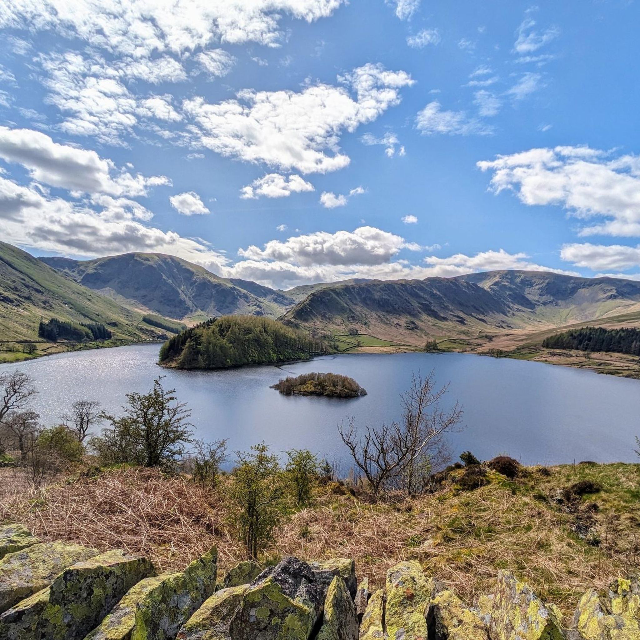
Rosgill Hill 290.4m P20.6 (953ft) (Hill ID: 504064) [JNSA 13865] Lake District National Park Definitive List summit
0
0

Abandoned limestone quarry. Work is underway to restore the quarry lake as a biotope for quite a few amphibians.
0
0
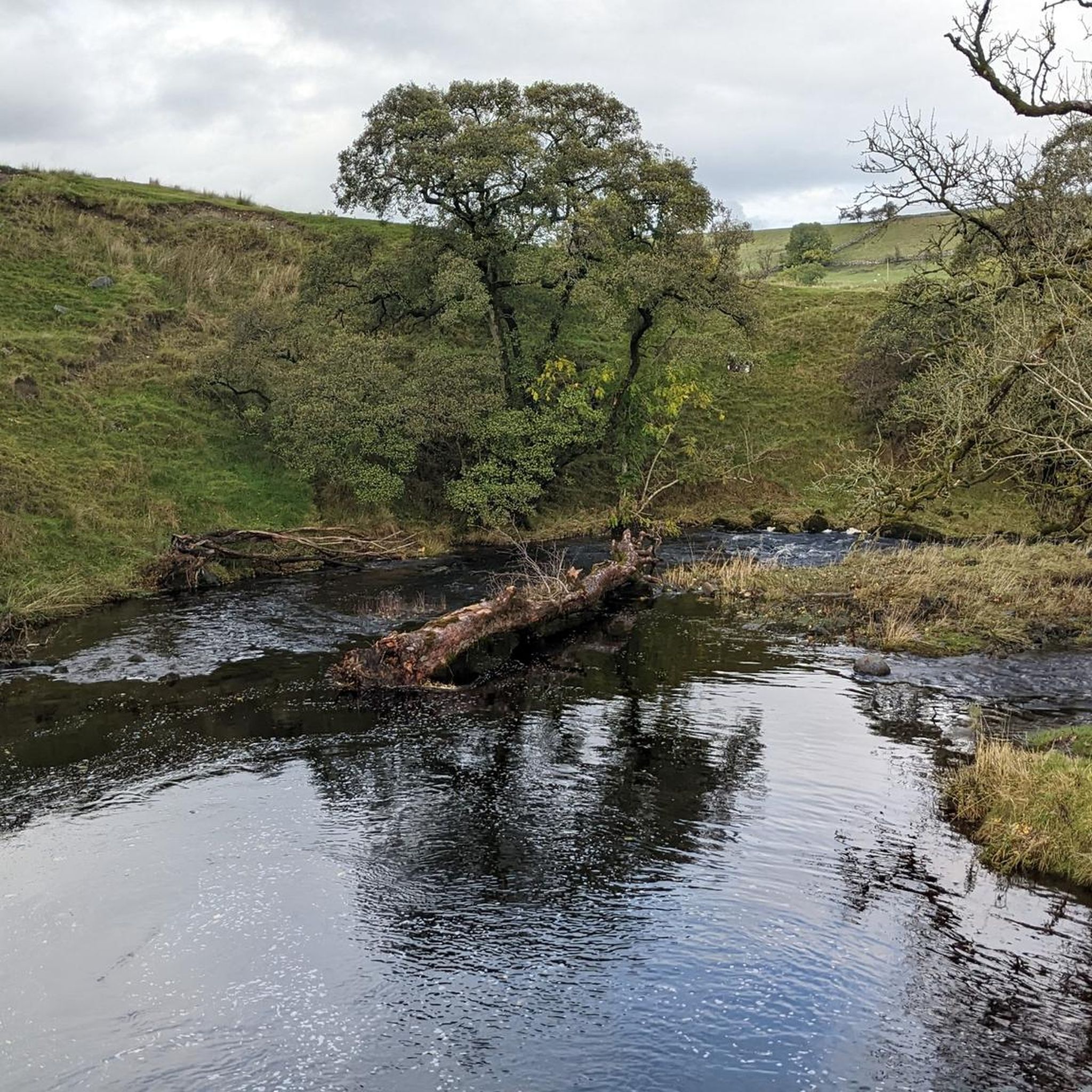
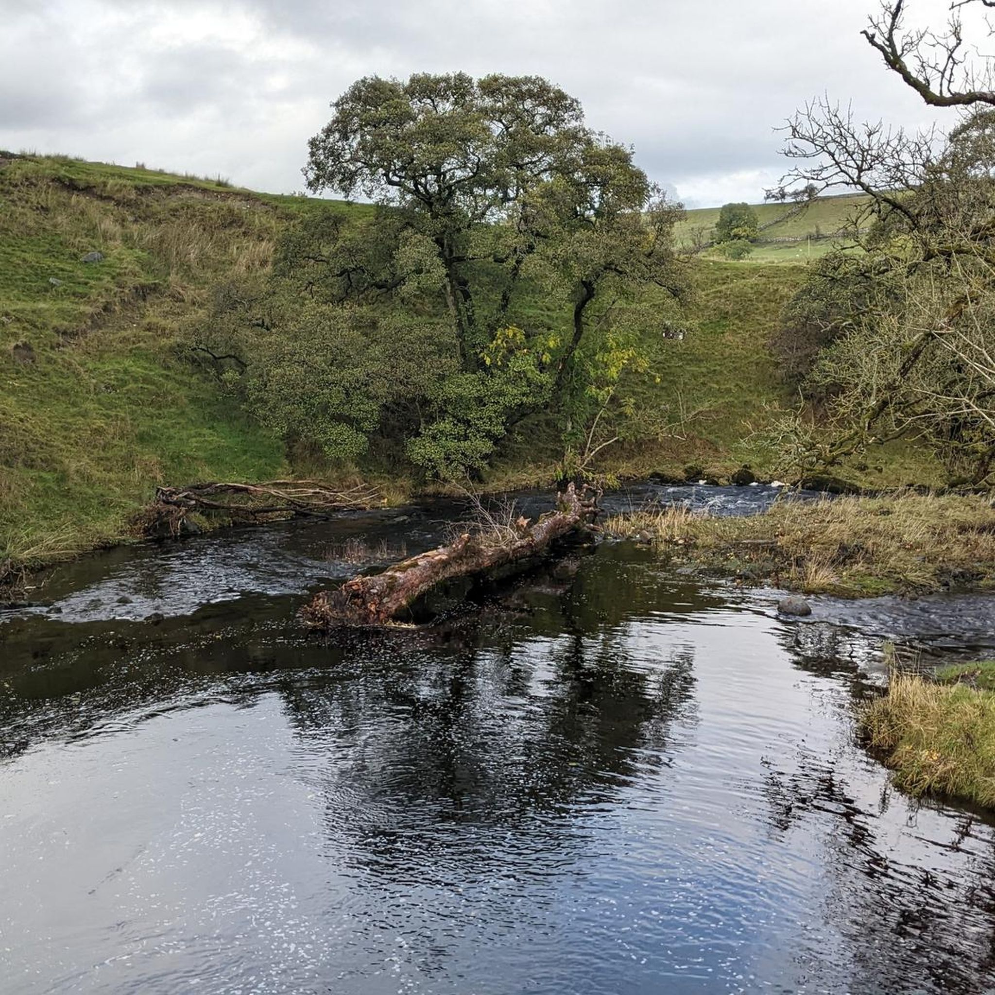
The name "Fairy Crag" may refer to a local belief in fairies in times gone by. Old Westmorland has a strong tradition of fairy myths associated with water. For example, fairies are said to prefer fast-flowing streams and rivers and it was said that stone footbridges over mountain streams - in the right conditions - are good places to see fairies. Source: https://www.edenriverstrust.org.uk/wp-content/uploads/2018/12/Shap.pdf Even for those who do not believe in those myths (undoubtedly a small minority ;-)), this is an enchantingly beautiful place, for which I think the word "fairy" was invented.
0
0

Awful exposed road into Shap - worth it for the fish and chips in the village!
0
0
Frequently Asked Questions
How many running routes are available in Shap?
There are over 20 running routes around Shap documented on komoot, offering a variety of distances and difficulties for all types of runners.
What do other runners say about the trails in Shap?
The running routes in Shap are highly rated by the komoot community, with an average score of 4.5 stars from over 10 reviews. Runners often praise the tranquil rural landscapes, open moorland, and varied terrain that provides a sense of escape.
Are there running routes suitable for beginners in Shap?
Yes, Shap offers several easy running routes perfect for beginners. For example, the Running loop from Shap is an easy 2.6-mile (4.2 km) trail that provides a gentle introduction to running in the area.
Are there longer running routes for more experienced runners in Shap?
Absolutely. For those seeking a greater challenge, there are 13 moderate and 3 difficult running routes. A popular moderate option is the Chippy Chippy – Limekiln on Rosgill Hill loop from Shap, which covers 9.0 miles (14.4 km) with varied terrain and gentle ascents.
Are there circular running routes around Shap?
Many of the running routes in Shap are circular, allowing you to start and finish in the same location. Examples include the Chippy Chippy – Flat Approach to Shap loop from Shap and the Fairy Crag – Chippy Chippy loop from Shap, both offering scenic loops through the countryside.
What kind of terrain can I expect on Shap's running trails?
Shap's running trails feature a diverse landscape, from quiet country lanes and open fields to rolling hills and expansive moorland. You'll encounter varied surfaces, including tarmac, gravel paths, and grassy tracks, providing a dynamic running experience.
Are there any running routes with good viewpoints in Shap?
Yes, the Shap area is known for its stunning views. While running, you might encounter panoramic vistas from spots like Loadpot Hill Trig Point or Grey Crag Summit, offering rewarding sights of the Cumbrian fells.
Are the running trails in Shap dog-friendly?
Many trails in the Shap area are dog-friendly, especially those on public footpaths and bridleways. However, as routes often traverse agricultural land, it's essential to keep dogs on a lead, particularly near livestock, and always clean up after them. Always check local signage for specific restrictions.
Is parking available near the running routes in Shap?
Parking is generally available in and around Shap village, often near trailheads or public spaces. Specific parking details can vary by route, so it's advisable to check the route description on komoot for the most accurate information before you go.
What is the best time of year to go running in Shap?
Running in Shap is enjoyable year-round, but each season offers a different experience. Spring and autumn provide pleasant temperatures and vibrant scenery. Summer is ideal for longer runs, while winter can be beautiful with crisp air, though some paths might be muddy or icy, requiring appropriate footwear.
Can I find places to eat or drink near the running routes in Shap?
Shap village offers local amenities, including pubs and cafes, where you can refuel after your run. These establishments are typically located conveniently close to many of the popular running routes, providing a welcome stop for refreshments.
Are there any historical sites or landmarks to see while running in Shap?
Yes, the area around Shap is rich in history. You might discover ancient sites like The Cockpit Stone Circle or explore the remnants of old limekilns, adding an interesting historical dimension to your run.
Most popular attractions around Shap

Get inspired with the komoot mobile app


Explore more
Browse the best Running Trails & Routes in other regions.
