The best walks and hikes around Shap
4.5
(428)
4,634
hikers
15
hikes
Hikes around Shap explore a landscape of rolling hills and open fells on the eastern edge of the Lake District National Park. The region is characterized by its varied terrain, which includes river valleys, moorland, and notable geological features like the local pink granite boulders. The area offers a quieter alternative to the central Lake District, with routes passing historical sites such as Shap Abbey and the Goggleby Stone.
Best hiking trails around Shap
- The most popular hiking route is Fairy Crag – The Goggleby Stone loop from Shap, a 5.5 mile (8.8 km) trail that takes about 2 hours 25 minutes to complete. This moderate hike features views across the fells and passes the Goggleby Stone monolith.
- Another top favourite among local hiking enthusiasts is The Goggleby Stone loop from Shap, an easy 3.1 mile (5.0 km) path. It is a shorter walk with minimal elevation gain, suitable for most fitness levels.
- Local hiking enthusiasts also love the Fairy Crag loop from Keld, a 2.9 mile (4.7 km) trail leading through open countryside, often completed in about 1 hour 20 minutes.
- Hiking around Shap is defined by open fells, quiet valleys like Swindale, and paths near Haweswater Reservoir. The network of trails provides options for different ability levels, from easy walks to more demanding hikes.
- The routes in Shap are highly rated by the komoot community with an average score of 4.6 stars from over 300 reviews. More than 3,800 hikers have used komoot to explore Shap's varied terrain.
Last updated: September 1, 2026
4.2
(6)
27
hikers
8.80km
02:24
130m
130m
Moderate hike. Good fitness required. Easily-accessible paths. Suitable for all skill levels.
3.7
(3)
24
hikers
5.03km
01:20
50m
50m
Easy hike. Great for any fitness level. Easily-accessible paths. Suitable for all skill levels.

Sign up for free
4.5
(2)
19
hikers
4.70km
01:18
80m
80m
Easy hike. Great for any fitness level. Easily-accessible paths. Suitable for all skill levels.
10
hikers
10.8km
02:50
90m
90m
Moderate hike. Good fitness required. Easily-accessible paths. Suitable for all skill levels.
4
hikers
5.73km
01:31
60m
60m
Easy hike. Great for any fitness level. Easily-accessible paths. Suitable for all skill levels.
Get access to more routes and recommendations from other explorers.
Sign up for free
Already have an account?
Our route recommendations are based on thousands of hikes, rides, and runs completed by other people on komoot.
Start today with a free account
Your next adventure awaits.
Login or Signup


Tips from the Community

Rosgill Hill 290.4m P20.6 (953ft) (Hill ID: 504064) [JNSA 13865] Lake District National Park Definitive List summit
0
0

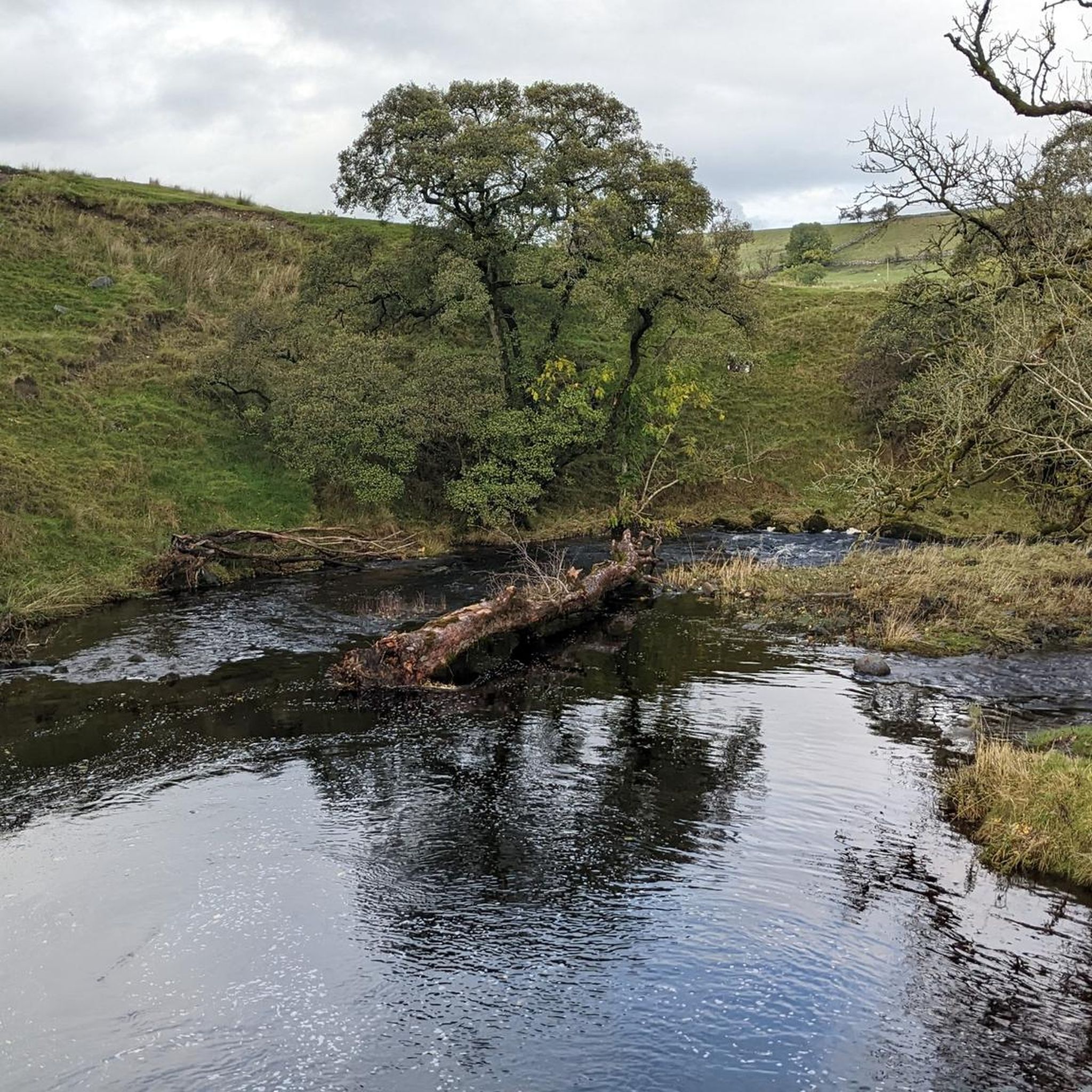
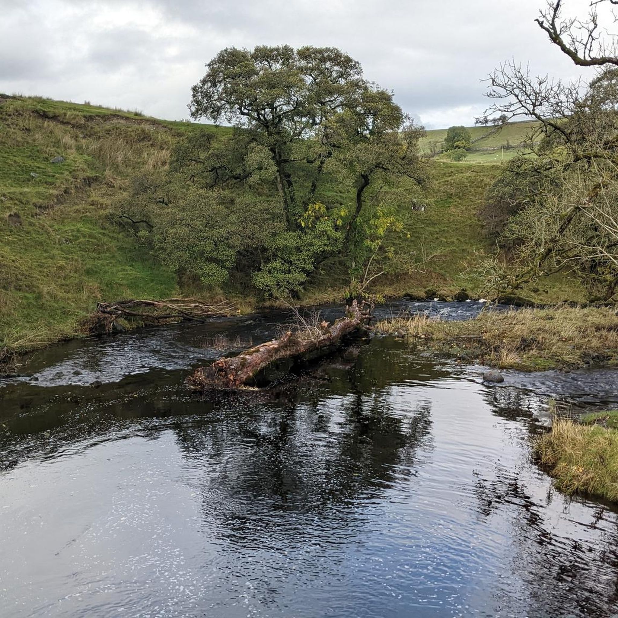
The name "Fairy Crag" may refer to a local belief in fairies in times gone by. Old Westmorland has a strong tradition of fairy myths associated with water. For example, fairies are said to prefer fast-flowing streams and rivers and it was said that stone footbridges over mountain streams - in the right conditions - are good places to see fairies. Source: https://www.edenriverstrust.org.uk/wp-content/uploads/2018/12/Shap.pdf Even for those who do not believe in those myths (undoubtedly a small minority ;-)), this is an enchantingly beautiful place, for which I think the word "fairy" was invented.
0
0

Awful exposed road into Shap - worth it for the fish and chips in the village!
0
0
Frequently Asked Questions
Are there any easy, family-friendly walks near Shap?
Yes, Shap offers several gentle walks perfect for families. The terrain often includes rolling hills with minimal steep climbs. A great option is the Fairy Crag loop from Keld, a pleasant walk of under 3 miles (4.7 km) through open countryside that is suitable for most fitness levels.
Can I find circular hiking routes starting from Shap?
Absolutely. Many of the best routes in the area are circular, allowing you to start and end at the same point without retracing your steps. These loops showcase the varied landscape, from open fells to historical sites. For a moderately challenging loop with great views, consider the Fairy Crag – The Goggleby Stone loop from Shap.
Are dogs allowed on the hiking trails around Shap?
Dogs are generally welcome on the public footpaths around Shap. The open fells provide great space for them to explore. However, you will be walking through areas with livestock, so it's essential to keep your dog on a lead, especially during lambing season. Always follow the Countryside Code.
What are the parking options for hikes in Shap?
The village of Shap has on-street parking and a few small car parks which can be used as a starting point for many local walks. For specific attractions like Shap Abbey, there is a small, dedicated car park. It's always a good idea to arrive early, especially on weekends, to secure a spot.
Are there any hikes that include waterfalls?
Yes, the Swindale Valley is known for its beautiful waterfalls, including Forces Falls. You can experience this on a longer, more challenging hike like the The Goggleby Stone – Swindale Falls loop from Shap, which takes you into this quieter part of the region.
What kind of hiking difficulty should I expect?
Shap caters to all levels. There are 7 easy routes for gentle strolls, 8 moderate hikes for those with a good level of fitness, and 2 difficult trails for experienced hikers seeking a challenge. The more strenuous routes, such as the View of Haweswater Reservoir – Fairy Crag loop from Keld, involve significant elevation and require good navigation skills.
How many hiking trails are there around Shap?
There are over 15 curated hiking routes to explore around Shap on komoot. These trails cover a range of difficulties and showcase the best of the area's fells, valleys, and historical landmarks.
Can I visit any historical sites on a walk?
Yes, the area is rich in history. A popular walk incorporates the ruins of Shap Abbey, a 12th-century monastery set by the River Lowther. You can also find routes that pass by Neolithic sites like the Goggleby Stone, a massive granite boulder that is part of an ancient stone avenue.
What do other hikers think of the trails in Shap?
The trails around Shap are highly regarded by the komoot community, with an average rating of 4.6 stars. Hikers often praise the tranquility of the area, the expansive views from the fells, and the sense of solitude compared to the busier central Lake District.
Is it possible to reach the trailheads using public transport?
Shap is located on the A6 and is accessible by bus services that connect it to nearby towns like Penrith and Kendal, both of which have mainline train stations. From the village, you can directly access the starting points for many local walks on foot.
Are there any long-distance paths that pass through Shap?
Yes, Shap is a key stopping point on Alfred Wainwright's famous Coast to Coast Path. Hikers often use the village as an overnight stop to rest and resupply before tackling the next stage of this iconic long-distance trail.
Most popular attractions around Shap

Get inspired with the komoot mobile app


Explore more
Browse the best Hikes in other regions.
