Attractions and Places To See in Wiesener Forst - Top 20
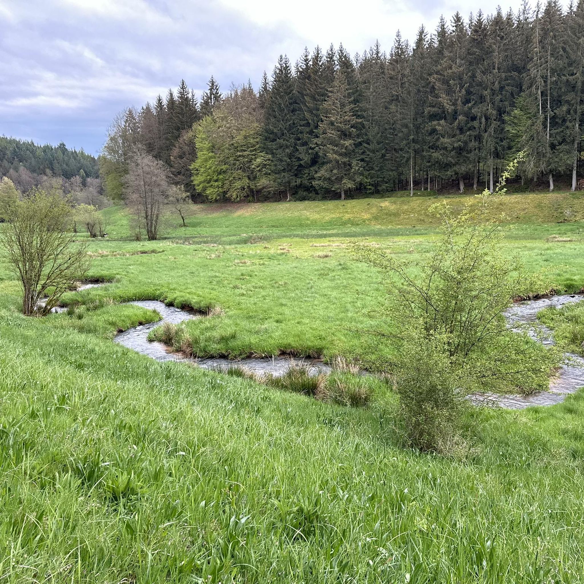
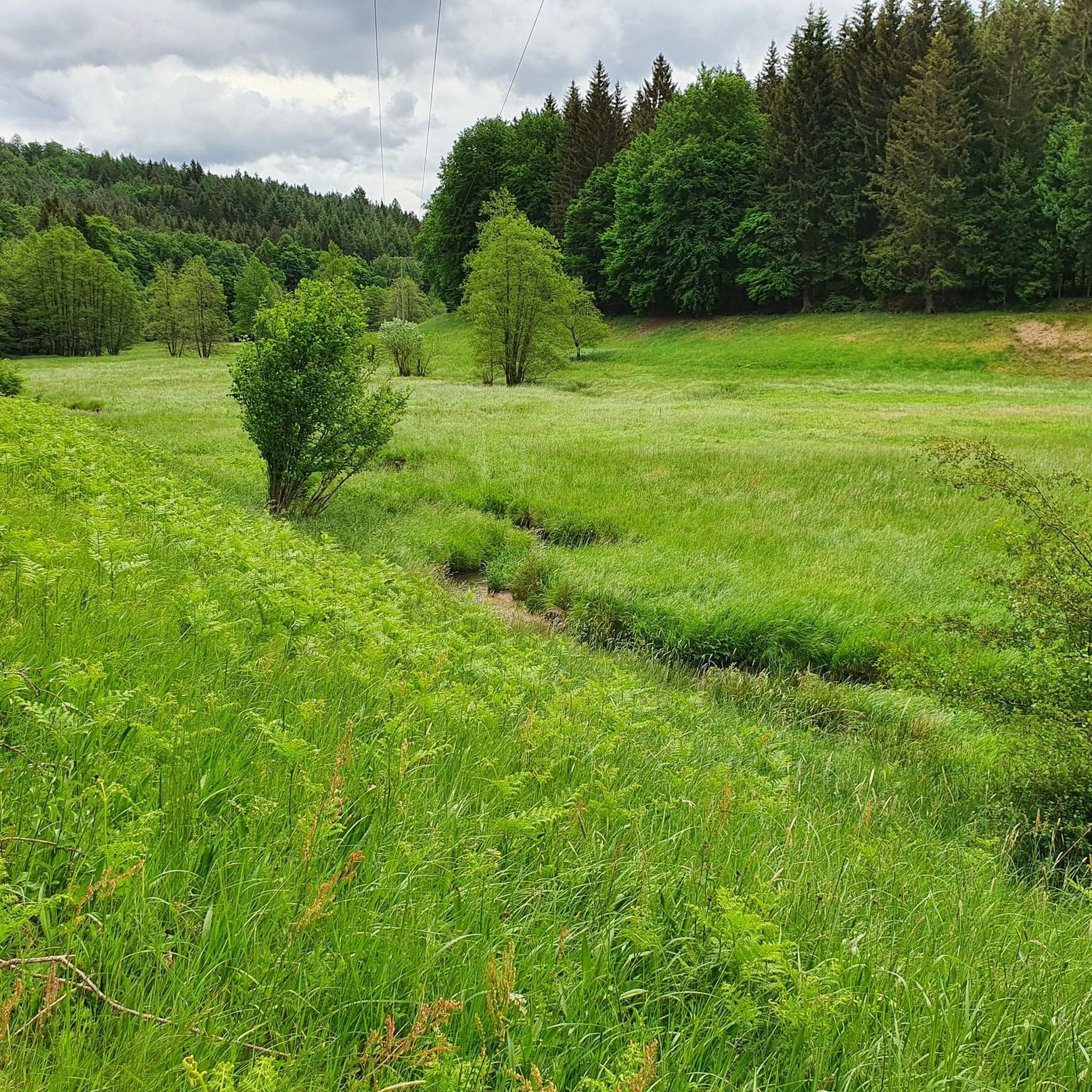
Best attractions and places to see in Wiesener Forst include a variety of natural features and points of interest within this forested area of the Spessart region in Bavaria, Germany. The landscape offers opportunities for outdoor recreation, featuring landmarks like the Erkelshöhe, the highest point in Wiesen at 517 meters above sea level, and the scenic Aubachtal Valley. Visitors can explore a diverse environment characterized by its dense forests and significant natural monuments.
Best attractions and places to see in…
Last updated: July 2, 2026
Dr. Karl Kihn Square
Highlight • Mountain Hut
Dr. Karl Kihn was a general practitioner who, as a student …
Showing Translation
Tip by

Kahl Springs
Highlight • River
Translated by Google •
Tip by

Sign up now to discover places like this
Get recommendations on the best single tracks, peaks, & plenty of other exciting outdoor places.
Sign up for free
Wiesbütt–Wiesen Sports Field Trail
Highlight (Segment) • Trail
Translated by Google •
Tip by

Erkelshöhe – Highest Point of Wiesen
Highlight • Summit
Translated by Google •
Tip by

Border Trail Wiesbütt-Sailhöhe
Highlight (Segment) • Lake
Translated by Google •
Tip by

Sign up for free to discover even more attractions in Wiesener Forst.
Sign up for free
Already have an account?
Start today with a free account
Your next adventure awaits.
Login or Signup

Other adventures in Wiesener Forst

Tips from the Community

Lake Wiesbütt (formerly Lake Hanauer See) is a forest lake in the Main-Kinzig district of Hesse, in the Spessart region. Lake Wiesbütt is located in the municipality of Flörsbach in the municipality of Flörsbachtal, directly on the state border with Bavaria. The Bavarian/Hessian border runs along the western shore, at the foot of the dam. To the west lies the unincorporated area of Wiesener Forst in the Bavarian district of Aschaffenburg. To the north lies the Spessart High Road (L 2905) and the two old trade routes: Birkenhainer Straße and Eselsweg. To the southwest lies the village of Wiesen in Lower Franconia, to the southeast Mosborn, a district of the municipality of Flörsbachtal, and to the north Bieber, a district of the municipality of Biebergemünd. The artificial lake, created for energy generation and ventilation of the Bieber mines, is now located on the edge of the Wiesbüttmoor nature reserve. The lake has no surface inlet; it is fed underground from the Wiesbüttmoor. A natural overflow drains the water into the Aubachtal valley via the Wiesbüttgraben. The Wiesbüttsee, with its diverse flora, some of which is already threatened with extinction, is part of one of the last raised bogs in Germany. It was created in 1765 by Bieber miners according to plans by mining master Johann Philipp Cancrinus to ventilate and drain the Lochborntalgrund silver, copper, and lead mine tunnels in the summer. It was also intended to provide sufficient water for the Bieber ironworks and the hammer mill. Due to the exceptional ore deposits in the area around Bieber, extensive mining was carried out during this period. The Wiesbüttsee served as a water source for the hydropowered mining machines used to drain and ventilate the tunnels. The water power powered the conveyor system of the ironworks in the Lochhütte until 1925. The former customs house (later a restaurant) commemorates the Bavarian border that was once controlled here. Source: https://de.wikipedia.org/wiki/Wiesbüttsee
1
0


The Kahlquellen (Kahl Springs) are a great place to rest in the shade. Many trails and tours converge here.
8
0
The Erkelshöhe (historically: Mertel) is a 517 m above sea level. NHN high mountain in the Spessart in the Bavarian district of Aschaffenburg and in the Hessian Main-Kinzig district in Germany. The Erkelshöhe lies between the towns of Wiesen and Flörsbach. The state border runs across the summit between the municipality of Flörsbachtal (Hesse) and the unincorporated area of Wiesener Forst (Bavaria). In the southeast, the Erkelshöhe goes flat to the Sauberg (454 m). Both mountains belong to the Sailhöhe ridge stretching towards Wiesthal. West of the summit, about a kilometer away, is the village of Wiesen im Aubachtal; on the south-eastern slopes is the town of Mosborn on the upper reaches of the Laubersbach. North of the mountain are the Wiesbüttsee and the Wiesbüttmoor. The Franconian Marienweg leads over the Erkelshöhe. Source: Wikipedia
3
0

In the hut there is a guest book waiting for your descriptions.
6
0

Real fun. Be careful, as there is also a hiking area.
2
0

two springs feed the Kahl directly behind the Bamberg mill. There is also a nice rest area.
6
0

The ideal way to fill up your drinking bottle with fresh spring water. Seating with a bench and table for a snack break.
6
0
Frequently Asked Questions
What are the prominent natural landmarks to explore in Wiesener Forst?
Wiesener Forst is rich in natural beauty. You can visit the Erkelshöhe – Highest Point of Wiesen, which stands at 517 meters above sea level and marks the state border between Bavaria and Hesse. Another scenic spot is the Aubachtal Valley, where the Aubach river flows through a picturesque landscape. Don't miss the Kahl Springs, a natural highlight where the Kahl river originates, and the serene Wiesbüttsee and Wiesbüttmoor located north of the Erkelshöhe.
Are there family-friendly attractions in Wiesener Forst?
Yes, several attractions in Wiesener Forst are suitable for families. The Dr. Karl Kihn-Platz Rest Area offers a spacious cabin and open space, perfect for a break. The Kahl Springs and the beautiful Aubachtal Valley are also marked as family-friendly, providing pleasant natural settings for walks and exploration.
What kind of hiking trails can I find in Wiesener Forst?
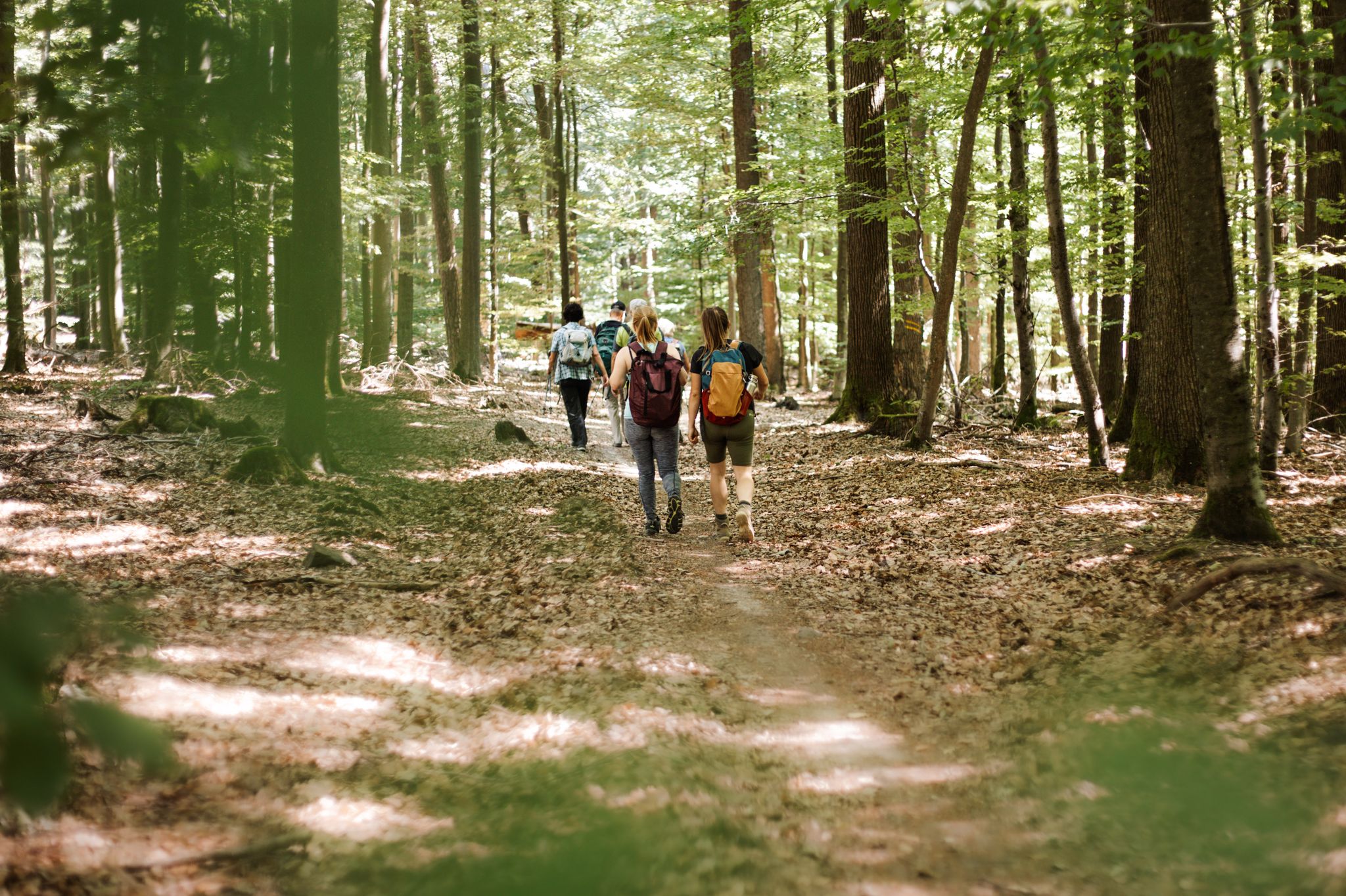
Wiesener Forst offers a variety of hiking experiences, from quaint forest paths to more challenging routes. You can explore trails like the Wiesbütt–Wiesen Sports Field Trail, known for its fine root sections. For more options, you can find numerous easy hikes, including loops around Wiesbütt Lake and the Aubachtal Valley, detailed in the guide for Easy hikes in Wiesener Forst.
What do visitors enjoy most about the attractions in Wiesener Forst?
Visitors particularly appreciate the natural beauty and tranquility of the region. The Aubachtal Valley is loved for its great landscape and well-maintained paths, often featuring a small fisherman's hut. The Wiesbütt–Wiesen Sports Field Trail is praised for its small, fine root trails through the forest. The Dr. Karl Kihn-Platz Rest Area is valued as a historic and practical stop with attractive open space.
Are there cycling opportunities in Wiesener Forst?
Yes, Wiesener Forst provides excellent opportunities for cycling. You can find routes suitable for gravel biking and touring bicycles. Explore options like the Shore of Wiesbüttsee loop or longer rides through the Aubach Valley. For detailed routes and difficulty levels, refer to the guides for Gravel biking in Wiesener Forst and Cycling in Wiesener Forst.
What is the best time of year to visit Wiesener Forst for outdoor activities?
Wiesener Forst is generally best enjoyed during the warmer months, from spring through autumn, when the weather is ideal for hiking, cycling, and exploring the natural landscapes. The forests are lush, and the trails are most accessible. While winter offers a different charm, some trails might be less accessible depending on snow conditions.
Are there any historical points of interest in Wiesener Forst?
The Dr. Karl Kihn-Platz Rest Area is a notable historical point of interest. It's a historic traffic junction honoring Dr. Karl Kihn, who significantly contributed to tourism in the Spessart region. This site offers a glimpse into the area's past and its connection to early hiking culture.
Can I find places to eat or stay near Wiesener Forst?
While the guide focuses on attractions within Wiesener Forst itself, the nearby town of Wiesen and surrounding areas in the Spessart region offer various options for accommodation, cafes, and restaurants. These establishments provide convenient places to refresh and stay after exploring the forest.
What is the highest point in Wiesener Forst?
The highest point in Wiesener Forst is the Erkelshöhe, reaching an elevation of 517 meters above sea level. It's a significant landmark where the state border between Bavaria and Hesse runs across its summit.
Are there any specific trails for beginners or easy walks?
Yes, Wiesener Forst offers several easy walks suitable for beginners. You can find gentle loop trails around natural features like Wiesbütt Lake and the Aubachtal Valley. For a comprehensive list of accessible routes, consult the guide for Easy hikes in Wiesener Forst.
Is Wiesener Forst suitable for dog walking?
Wiesener Forst, being a natural forested area, is generally very welcoming for dog walkers. Many of the trails and natural areas, such as the Aubachtal Valley and the Wiesbütt–Wiesen Sports Field Trail, are ideal for walks with your canine companion. Always ensure dogs are kept under control and follow local regulations regarding leashes and waste disposal.
Most popular routes in Wiesener Forst
Most popular attractions in Wiesener Forst

Get inspired with the komoot mobile app


Explore more
Still not found the Highlight you’re looking for? See guides of the top attractions in other regions:
