The best MTB trails in Wiesener Forst
4.7
(2949)
9,944
riders
446
rides
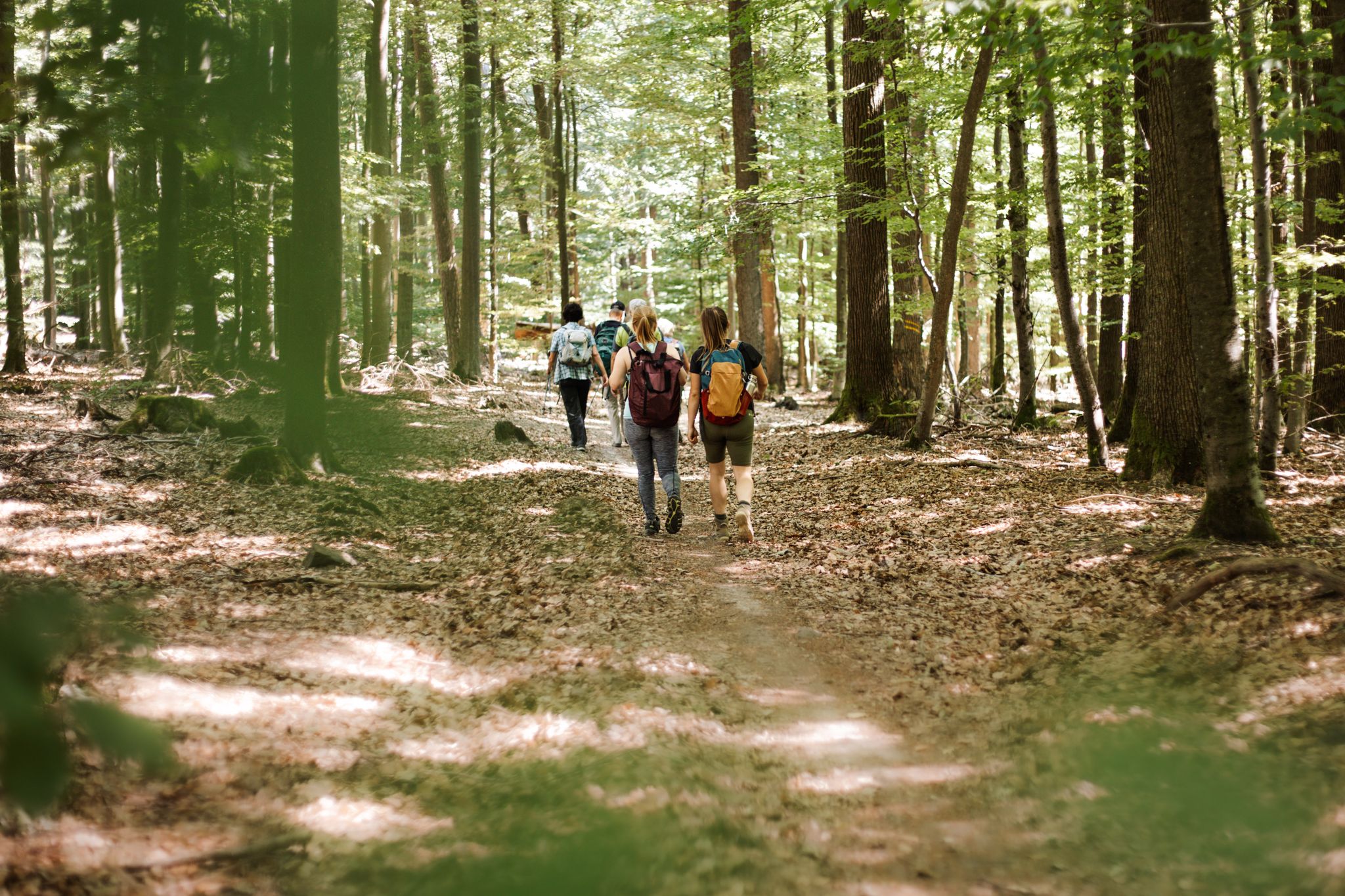
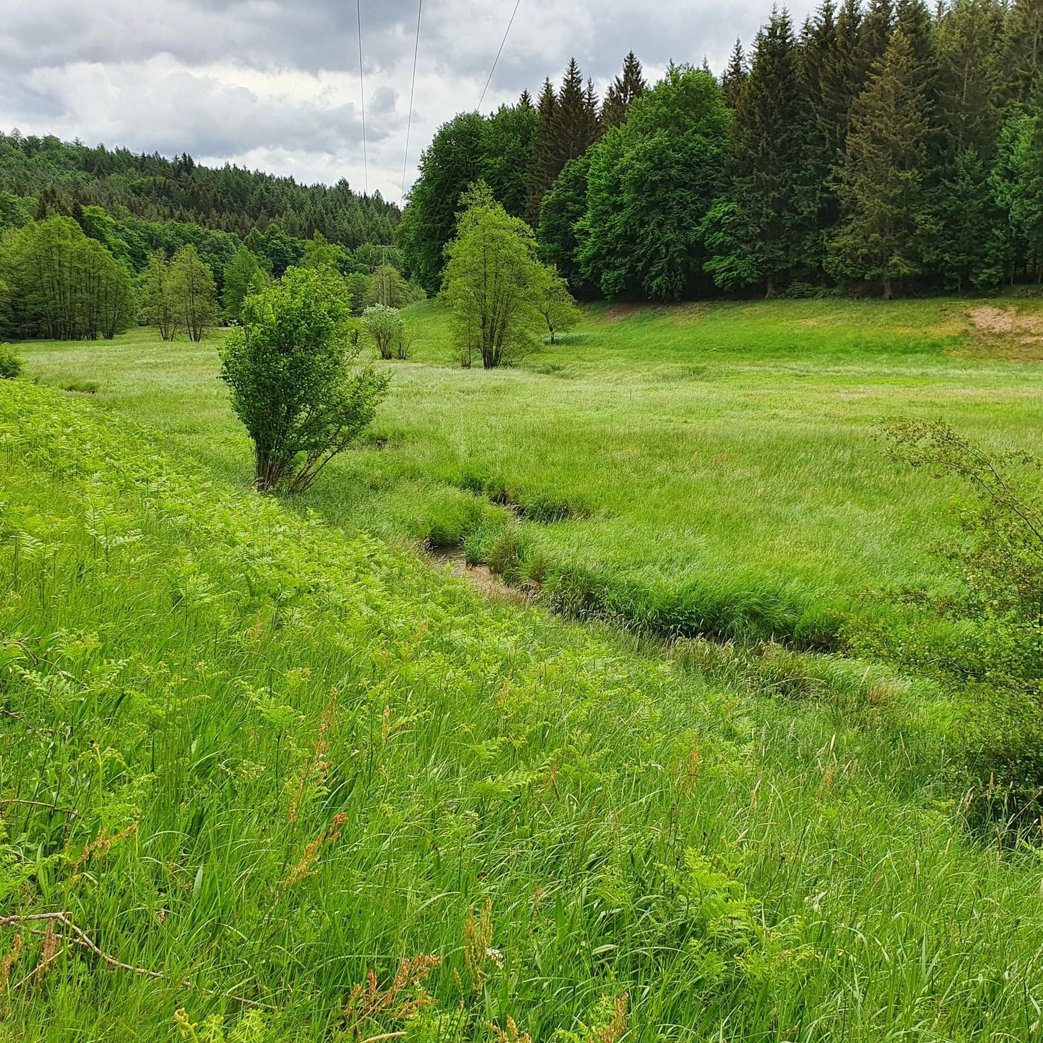
Mountain bike trails in Wiesener Forst traverse an expansive forested area within the Spessart region of Germany, offering diverse landscapes for riders. This area, part of one of Germany's largest contiguous mixed forests, features varied terrain including deep valleys, gentle hillsides, and elevated areas. The region is characterized by extensive deciduous forests with ancient beech and oak trees, providing scenic routes. Its topography creates natural ascents and descents suitable for dynamic mountain biking.
Best mountain bike trails in Wiesener Forst
…Last updated: July 1, 2026
4.0
(1)
5
riders
Moderate mountain bike ride. Good fitness required. Advanced riding skills necessary.
5.0
(1)
5
riders
52.7km
04:47
1,010m
1,010m
Hard mountain bike ride. Very good fitness required. Advanced riding skills necessary.

Sign up for free
4
riders
9.52km
00:44
110m
110m
Easy mountain bike ride. Great for any fitness level. Suitable for all skill levels.
5.0
(2)
6
riders
12.4km
00:47
140m
140m
Easy mountain bike ride. Great for any fitness level. Suitable for all skill levels.
4
riders
Moderate mountain bike ride. Great for any fitness level. Advanced riding skills necessary.
Get access to more routes and recommendations from other explorers.
Sign up for free
Already have an account?
Our route recommendations are based on thousands of hikes, rides, and runs completed by other people on komoot.
Start today with a free account
Your next adventure awaits.
Login or Signup

Other adventures in Wiesener Forst

Tips from the Community

The Eselsweg is the hiking trail.
0
0

Heinrichsthal is a municipality in the Lower Franconian district of Aschaffenburg and a member of the Heigenbrücken administrative community. It is the highest municipality in the entire Spessart and the smallest municipality in the Aschaffenburg district. The municipality is located in the Bavarian Lower Main region at the upper end of the Lohrbach Valley. The highest point in the municipality is the peak of Schindershöh at 522 m above sea level (location), and the lowest is at the Lohrbach stream near Unterlohrgrund at 313 m above sea level (location). The Kahltal-Spessart cycle path runs through the village. In 1636, the name of the master of a glassworks located in this region first appeared: Heinrich Fleckenstein of the glassworks in Wollersbuch. Another master glassworks owner, Jacob Fleckenstein, is also mentioned in 1639. In 1647, Heinrich Fleckenstein's glassworks was located in the Lohrgrund, but it burned down for less than 34 weeks. An account book from 1652 reveals that Heinrich and Jacob were brothers. In 1664, the two place names "Heinrichs grundt and Jacobs thael" first appeared as location designations. The latter became the present-day village of Jakobsthal. A new stage in the village's history began in 1678, when Heinrichsthal was first mentioned as a village. The first taxes had to be paid for seven houses and ten head of cattle. Heinrich Fleckenstein's initials were incorporated into the Heinrichsthal coat of arms. Source: Wikipedia
1
0
In 2024, a new shelter, two benches and a table were built.
3
0

A beautifully constructed shelter. Next to the charcoal burner's hut, there's a lovely table with two benches. The spot is so inviting that you immediately want to linger.
1
0
Lake Wiesbütt (formerly Lake Hanauer See) is a forest lake in the Main-Kinzig district of Hesse, in the Spessart region. Lake Wiesbütt is located in the municipality of Flörsbach in the municipality of Flörsbachtal, directly on the state border with Bavaria. The Bavarian/Hessian border runs along the western shore, at the foot of the dam. To the west lies the unincorporated area of Wiesener Forst in the Bavarian district of Aschaffenburg. To the north lies the Spessart High Road (L 2905) and the two old trade routes: Birkenhainer Straße and Eselsweg. To the southwest lies the village of Wiesen in Lower Franconia, to the southeast Mosborn, a district of the municipality of Flörsbachtal, and to the north Bieber, a district of the municipality of Biebergemünd. The artificial lake, created for energy generation and ventilation of the Bieber mines, is now located on the edge of the Wiesbüttmoor nature reserve. The lake has no surface inlet; it is fed underground from the Wiesbüttmoor. A natural overflow drains the water into the Aubachtal valley via the Wiesbüttgraben. The Wiesbüttsee, with its diverse flora, some of which is already threatened with extinction, is part of one of the last raised bogs in Germany. It was created in 1765 by Bieber miners according to plans by mining master Johann Philipp Cancrinus to ventilate and drain the Lochborntalgrund silver, copper, and lead mine tunnels in the summer. It was also intended to provide sufficient water for the Bieber ironworks and the hammer mill. Due to the exceptional ore deposits in the area around Bieber, extensive mining was carried out during this period. The Wiesbüttsee served as a water source for the hydropowered mining machines used to drain and ventilate the tunnels. The water power powered the conveyor system of the ironworks in the Lochhütte until 1925. The former customs house (later a restaurant) commemorates the Bavarian border that was once controlled here. Source: https://de.wikipedia.org/wiki/Wiesbüttsee
3
0


Frequently Asked Questions
How many mountain bike trails are available in Wiesener Forst?
Wiesener Forst offers a wide selection of mountain bike trails, with over 450 routes recorded on komoot. These range from easy paths to more challenging single tracks, catering to various skill levels.
What is the overall experience like for mountain biking in Wiesener Forst?
The mountain biking experience in Wiesener Forst is highly regarded by the komoot community, with an average rating of 4.7 stars from over 2,700 reviews. Riders often praise the extensive and ancient forests, diverse terrain, and the sense of immersion in nature. The area's varied topography, including valleys and hills, provides dynamic ascents and descents.
Are there mountain bike trails suitable for beginners in Wiesener Forst?
Yes, Wiesener Forst has options for beginners. There are 61 easy mountain bike routes available, offering gentle terrain and less strenuous options. An example of an easy route is the Dr. Karl Kihn-Platz Rest Area – Wiesbüttsee loop from Wiesen, which is about 9.5 km long and takes less than an hour to complete.
Are there challenging mountain bike routes for experienced riders?
Absolutely. For experienced riders seeking a challenge, Wiesener Forst features 48 difficult mountain bike routes. These trails often include significant elevation gains and more technical sections. A notable difficult route is the Dr. Karl Kihn-Platz Rest Area – Bieberer Pfädchen loop from Wiesen, spanning over 52 km with substantial climbing.
Are there any circular mountain bike routes in Wiesener Forst?
Yes, many mountain bike routes in Wiesener Forst are designed as loops, allowing you to start and end at the same point. For example, the Wiesbütt Moor – Shore of Wiesbüttsee loop from Wiesen is an easy 12.4 km circular route that takes about 45 minutes.
What natural features or landmarks can I see while mountain biking in Wiesener Forst?
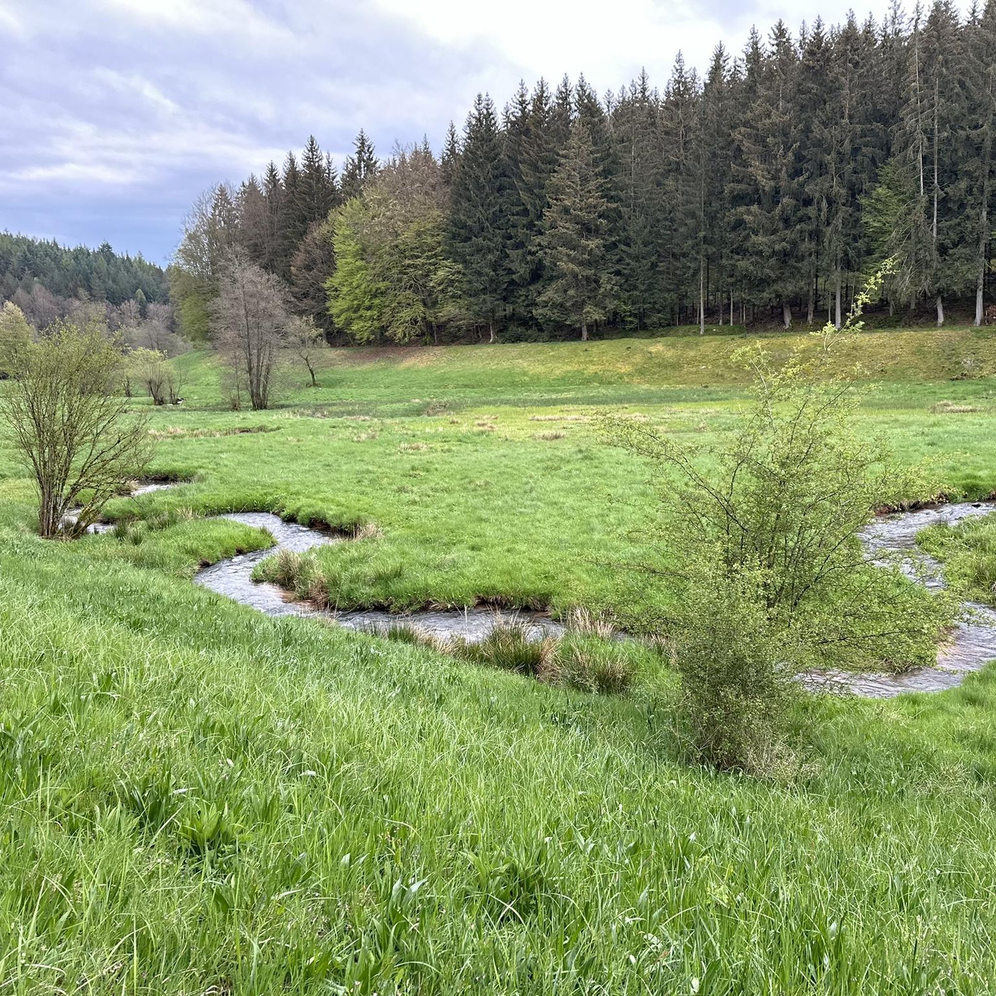
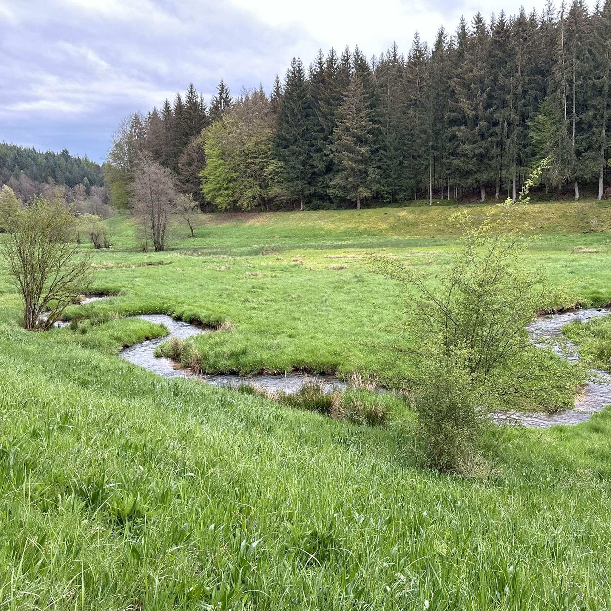
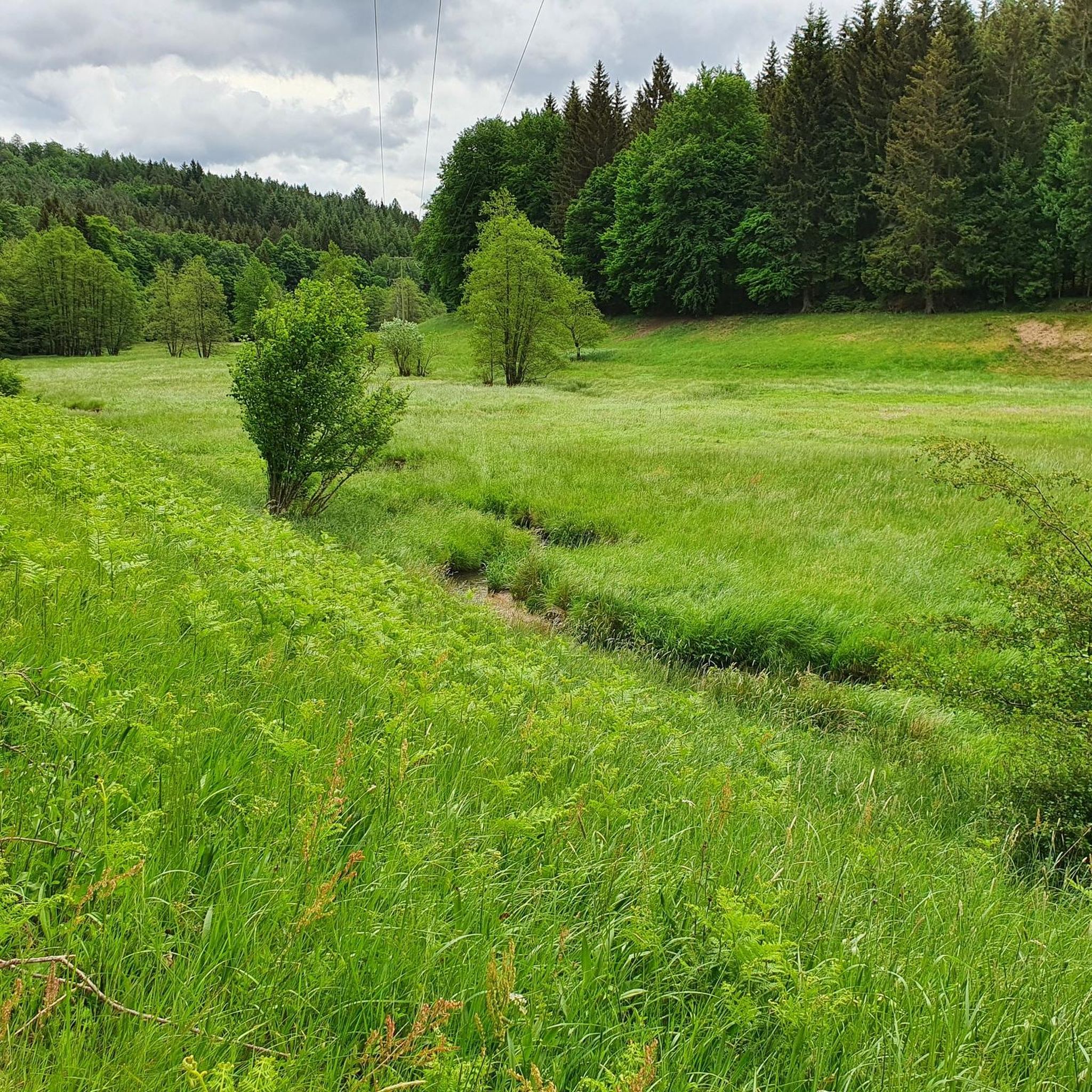
Wiesener Forst is rich in natural beauty. You can encounter features like the serene Aubachtal Valley with its pure nature and small trails, the Kahl Springs, and the scenic Wiesbüttsee and Wiesbüttmoor areas. The region is part of one of Germany's largest contiguous mixed forests, offering ancient beech and oak trees.
Are there any viewpoints along the mountain bike trails in Wiesener Forst?
While specific designated viewpoints are not always marked on every trail, the varied topography of Wiesener Forst, including gentle hillsides and elevated areas, often provides scenic vistas. The Erkelshöhe, at 517 meters, is the highest point in Wiesen and offers potential for panoramic views after a challenging climb.
Is Wiesener Forst suitable for family mountain biking?
Yes, Wiesener Forst offers family-friendly mountain biking options, particularly on its easier routes. The extensive network includes paths that are less strenuous and suitable for a family outing. Look for the 61 easy routes available on komoot for suitable options.
Can I bring my dog on the mountain bike trails in Wiesener Forst?
Generally, dogs are permitted on trails in Wiesener Forst, which is part of the Spessart Nature Park. However, it's always recommended to keep dogs on a leash, especially in forested areas to protect wildlife and ensure the safety of other trail users. Please be mindful of local regulations and signage.
What are the parking options for mountain bikers in Wiesener Forst?
While specific parking areas for mountain bikers are not explicitly listed for every trail, popular starting points and trailheads often have nearby parking facilities. Areas around Wiesen and Wiesbütt, which are common access points for many routes, typically offer parking. The Dr. Karl Kihn-Platz Rest Area is a known starting point for several tours and likely has parking nearby.
When is the best time of year to go mountain biking in Wiesener Forst?
The best time for mountain biking in Wiesener Forst is generally from spring through autumn. During these seasons, the weather is milder, and the trails are typically dry and in good condition. The deciduous forests are particularly beautiful in spring with fresh greenery and in autumn with vibrant fall colors. Winter conditions can make some trails muddy or icy, so caution is advised.
Are there places to eat or drink near the mountain bike trails?
While the focus of Wiesener Forst is its natural environment, you can find cafes and restaurants in the nearby villages and towns surrounding the forest, such as Wiesen. These establishments offer opportunities to refuel before or after your ride. The Dr. Karl Kihn-Platz Rest Area might also offer some basic amenities or be a good starting point to find nearby eateries.
What is the longest mountain bike trail in Wiesener Forst?
One of the longest mountain bike trails in Wiesener Forst is the Dr. Karl Kihn-Platz Rest Area – Bieberer Pfädchen loop from Wiesen, which covers a distance of 52.7 km. This difficult route takes approximately 4 hours and 47 minutes to complete, offering an extensive ride through the forested landscape.
Most popular routes in Wiesener Forst
Most popular attractions in Wiesener Forst

Get inspired with the komoot mobile app


Explore more
Browse the best MTB trails in other regions.
