The best road cycling routes in Wiesener Forst
4.5
(192)
2,070
riders
74
rides
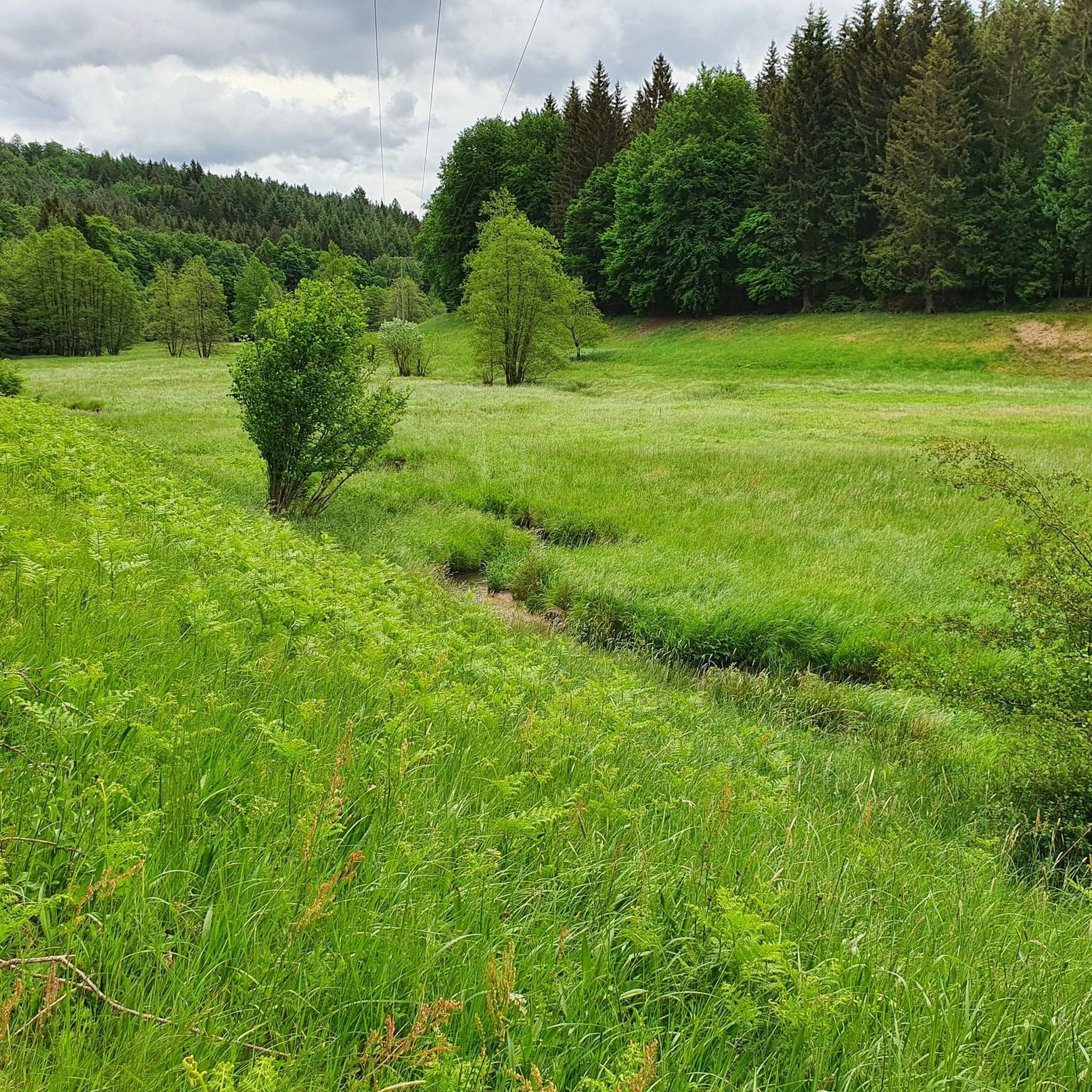
Road cycling in Wiesener Forst offers varied terrain across its extensive woodlands, providing diverse options for riders. The region features notable elevations, including the Erkelshöhe at 517 meters, which presents challenging ascents and descents. Routes often follow the Aubachtal Valley, offering gentler sections alongside the Aubach river, and pass by natural features like Wiesbüttsee. The Wiesener Forst road bike terrain is predominantly paved, catering to a range of fitness levels.
Best road cycling routes in Wiesener Forst
- The most popular…
Last updated: June 29, 2026
5.0
(1)
11
riders
17.8km
00:45
120m
120m
Easy road ride. Great for any fitness level. Mostly well-paved surfaces and easy to ride.
3.5
(2)
42
riders
54.5km
02:36
700m
700m
Moderate road ride. Good fitness required. Mostly well-paved surfaces and easy to ride.

Sign up for free
4.5
(2)
37
riders
49.9km
02:08
350m
350m
Moderate road ride. Good fitness required. Mostly well-paved surfaces and easy to ride.
4.7
(6)
33
riders
38.4km
01:58
620m
620m
Moderate road ride. Good fitness required. Some segments of this route may be unpaved and difficult to ride.
5.0
(3)
23
riders
58.1km
02:50
830m
830m
Moderate road ride. Good fitness required. Mostly well-paved surfaces and easy to ride.
Get access to more routes and recommendations from other explorers.
Sign up for free
Already have an account?
Our route recommendations are based on thousands of hikes, rides, and runs completed by other people on komoot.
Start today with a free account
Your next adventure awaits.
Login or Signup
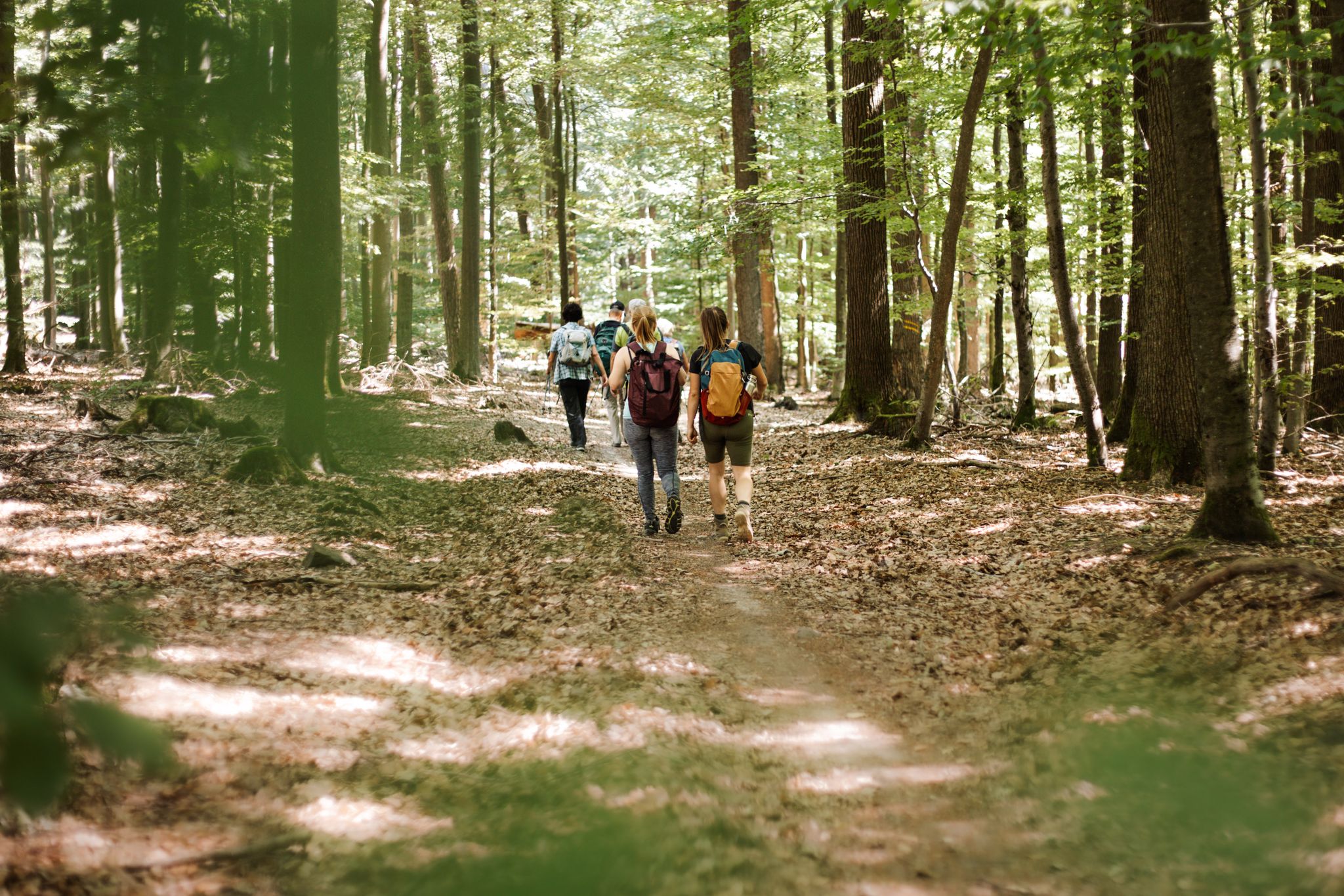
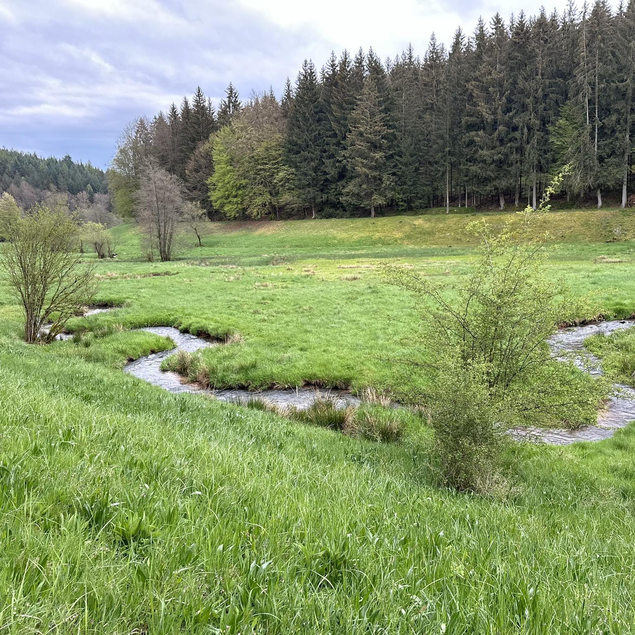
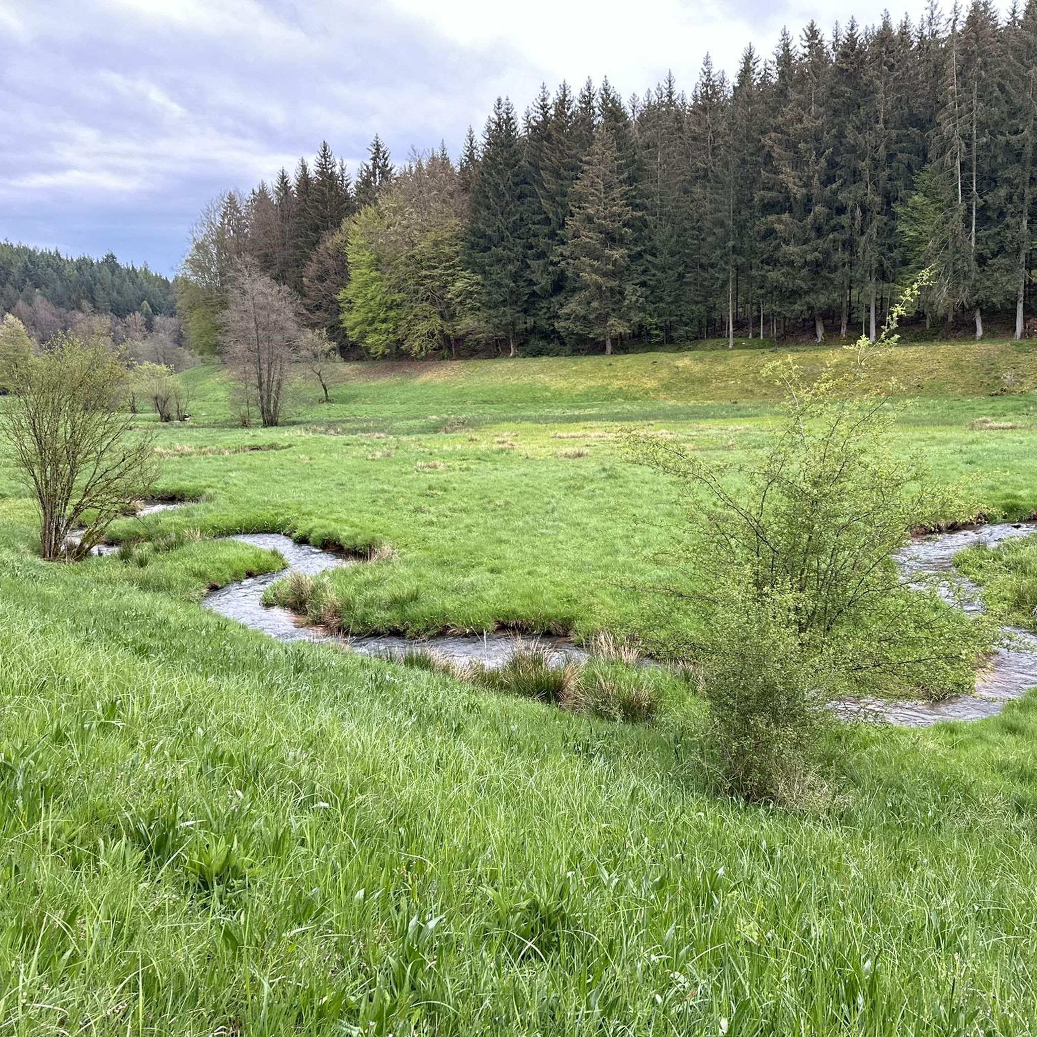
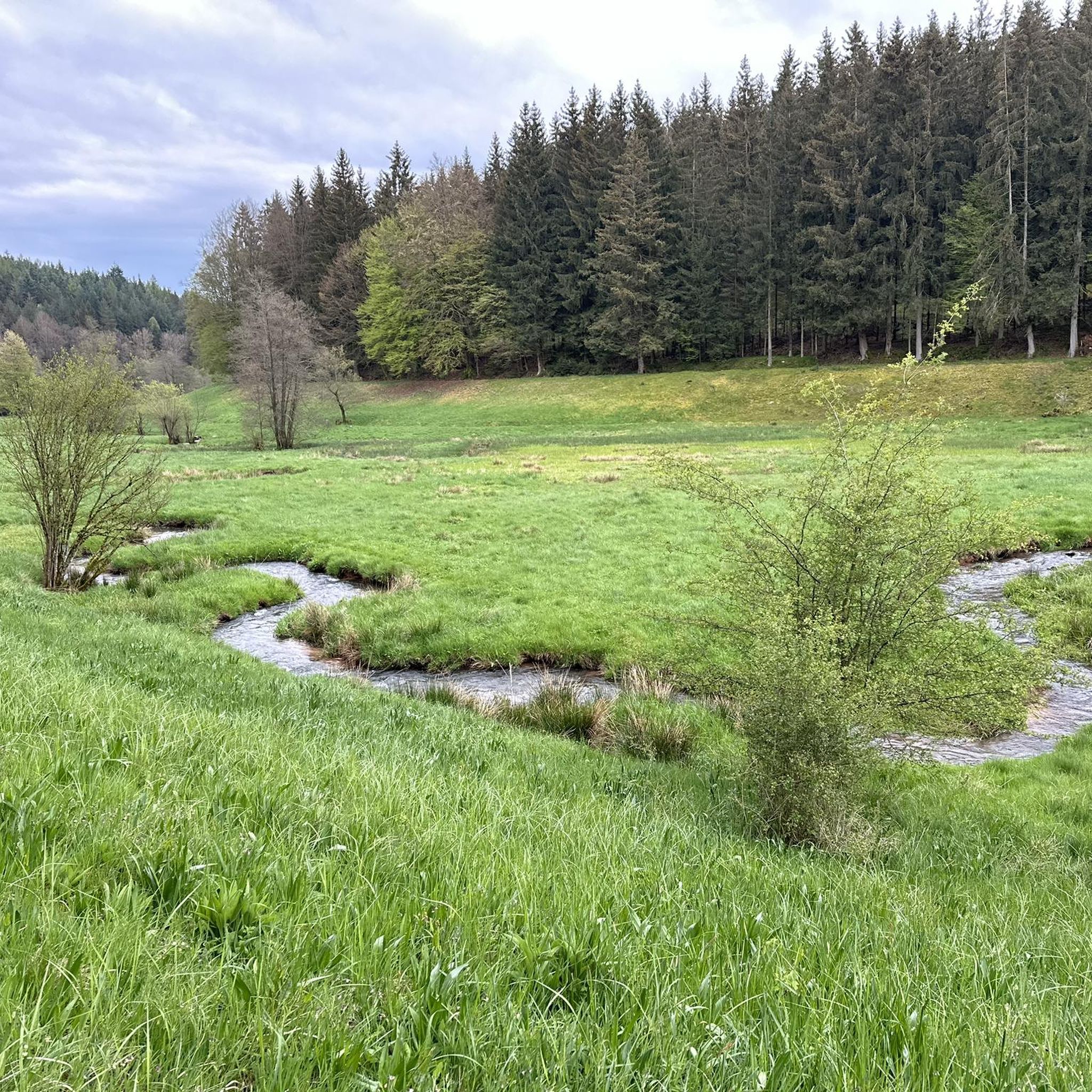
Other adventures in Wiesener Forst

Tips from the Community

It is strongly noticeable here that komoot now only inserts landscape photos into highlights, which is why many photos appear cropped. A shame.
0
0

There is no cycle path here
0
0


The Barbarossa city of Gelnhausen and its ancient buildings. 🏰✨ #BarbarossaCity #Gelnhausen #Buildings
1
0
Shortly before Blankenbach on the Kahl river.
0
0

Pretty castle on the edge of the historic town center
0
0

delicious homemade ice cream 🍨
0
0
Frequently Asked Questions
How many road cycling routes are available in Wiesener Forst?
Wiesener Forst offers a wide selection of road cycling routes, with over 70 tours available. These routes cater to various skill levels, including 5 easy, 55 moderate, and 14 difficult options.
What kind of terrain can I expect when road cycling in Wiesener Forst?
The terrain in Wiesener Forst is diverse, featuring extensive woodlands and varied elevations. You'll find predominantly paved surfaces, making it ideal for road cycling. Routes can range from gentler paths along the Aubach river in the Aubachtal Valley to more challenging ascents towards points like the Erkelshöhe.
What natural features or landmarks can I see along the road cycling routes?
Road cycling routes in Wiesener Forst often pass by notable natural features and landmarks. You can cycle alongside the Kahl Springs, through the scenic Aubachtal Valley, or past the tranquil Wiesbüttsee. For those seeking a challenge, the Erkelshöhe – Highest Point of Wiesen offers significant elevation and panoramic views.
Are there routes suitable for beginners or families?
Yes, Wiesener Forst has routes suitable for beginners and families. An easy option is the Path Along the Kahl – Cafe Denk loop from Glashüttenhof, which is a gentle 11.1-mile ride following the Kahl river.
What about more challenging routes for experienced road cyclists?
Experienced road cyclists will find several challenging routes. The Wiesbüttsee – Birkenhainer Straße Climb loop from Bieber is a moderate 33.6-mile path featuring significant elevation gain. Another demanding option is the Bieber-Wiesbütt Climb – Wiesbüttsee loop from Bieber, which includes substantial climbing over its 38.4-kilometer distance.
Are there any good places to stop for a break or rest during a ride?
Yes, within Wiesener Forst, the Dr. Karl Kihn-Platz Rest Area provides a convenient and spacious spot for cyclists to take a break. Additionally, many routes pass through charming villages where you might find local cafes or pubs.
Are there circular road cycling routes in Wiesener Forst?
Many of the road cycling routes in Wiesener Forst are designed as loops, allowing you to start and end at the same point. Examples include the Gelnhausen Town Hall – Haintor (Gelnhausen) loop from Bieber, which takes you through charming towns, or the Wiesbüttsee – View of the Spessart Forest loop from Bieber, offering scenic views.
Is parking available for road cyclists in Wiesener Forst?
While specific parking areas for road cyclists are not universally designated, the broader region around Wiesener Forst, including nearby towns and trailheads, typically offers parking facilities. It's advisable to check local parking options near your chosen starting point.
Can I reach Wiesener Forst by public transport for cycling?
The Spessart region, where Wiesener Forst is located, has public transport connections to its towns and villages. However, direct public transport access specifically for cyclists with bikes into the heart of Wiesener Forst might be limited. It's recommended to research specific bus or train routes and their bike carriage policies for your intended starting location.
What do other road cyclists say about their experience in Wiesener Forst?
The road cycling routes in Wiesener Forst are highly rated by the komoot community, with an average score of 4.5 stars from over 170 reviews. More than 2,000 road cyclists have used komoot to explore the area, often praising its varied terrain, extensive woodlands, and the mix of challenging climbs and gentle valley rides.
What is the best time of year for road cycling in Wiesener Forst?
The best time for road cycling in Wiesener Forst is generally from spring through autumn. During these seasons, the weather is typically mild, and the extensive woodlands provide pleasant shade. While specific conditions can vary, these months offer the most comfortable and scenic riding experiences.
Most popular routes in Wiesener Forst
Most popular attractions in Wiesener Forst

Get inspired with the komoot mobile app


Explore more
Browse the best Road cycling routes in other regions.
